4-7: Jeffers Brook, The Notch, Garfield Shelter

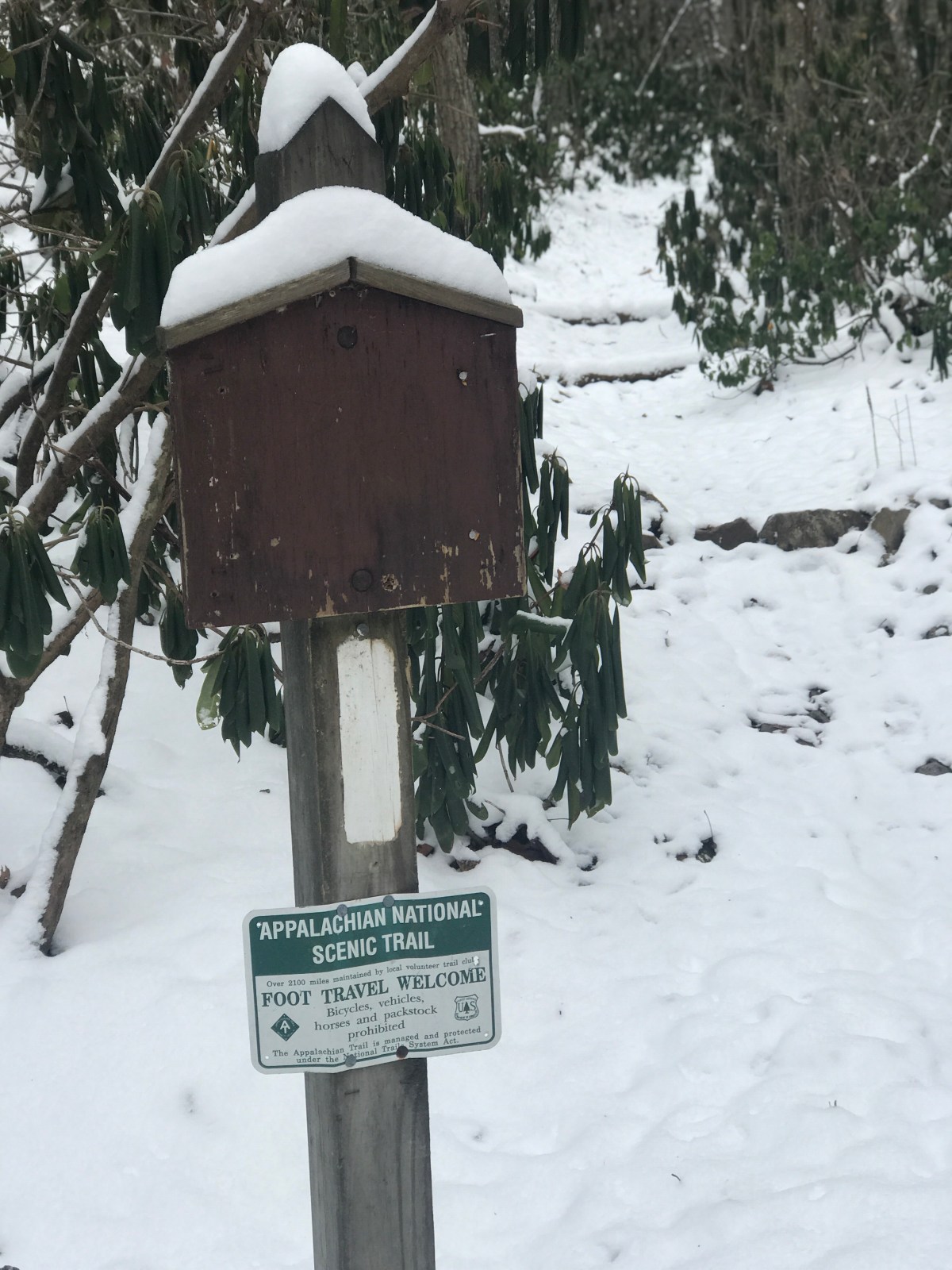
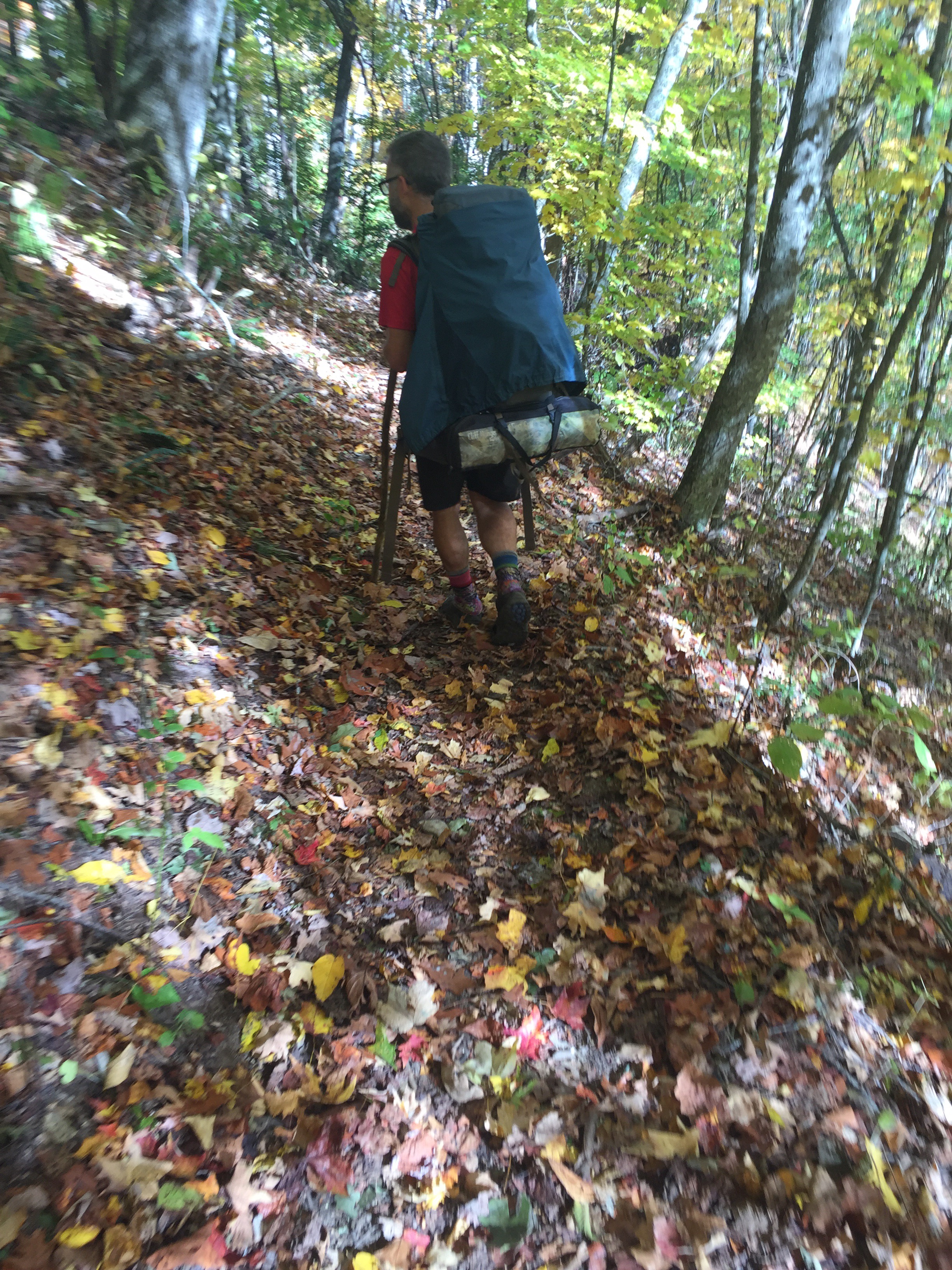
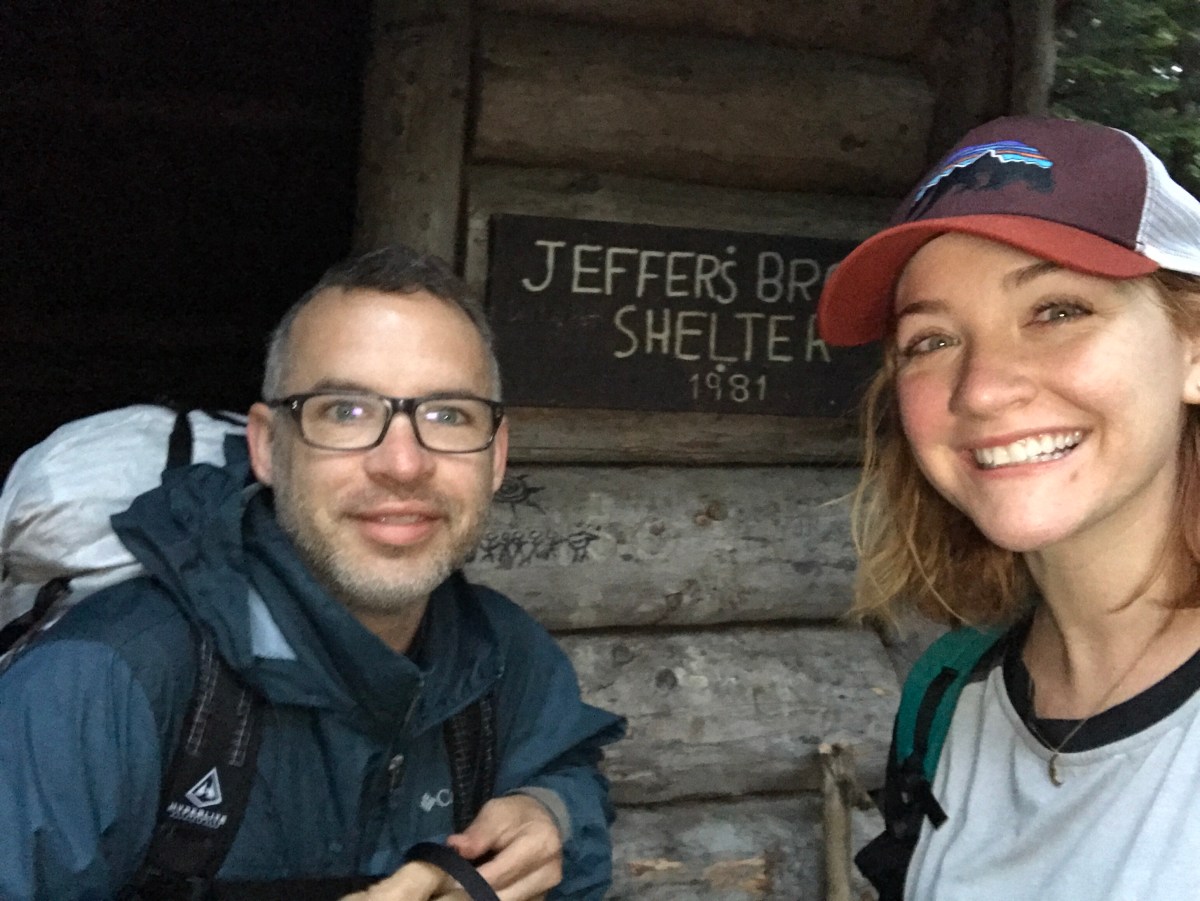
4: Hexacuba to Jeffers Brook

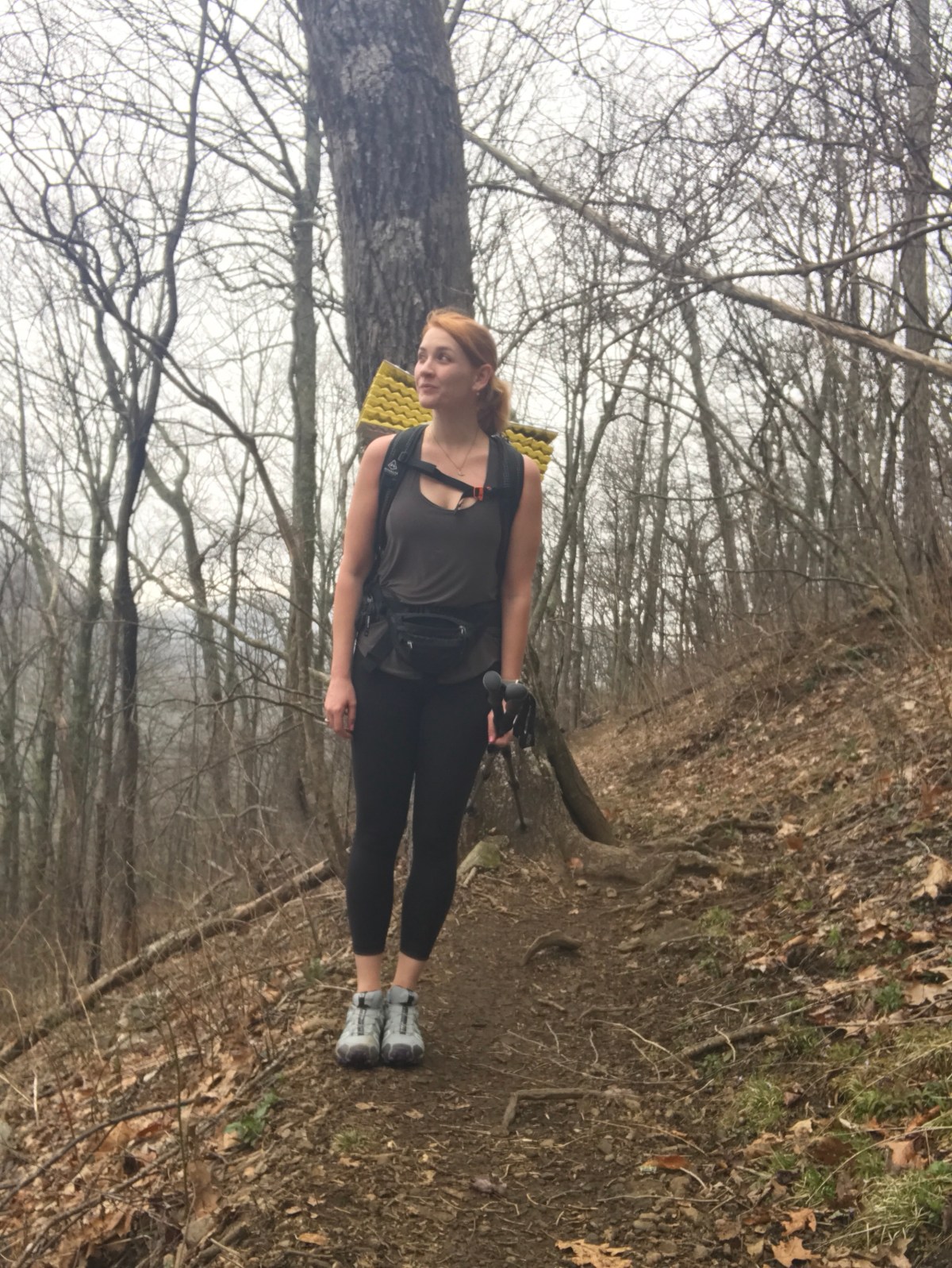
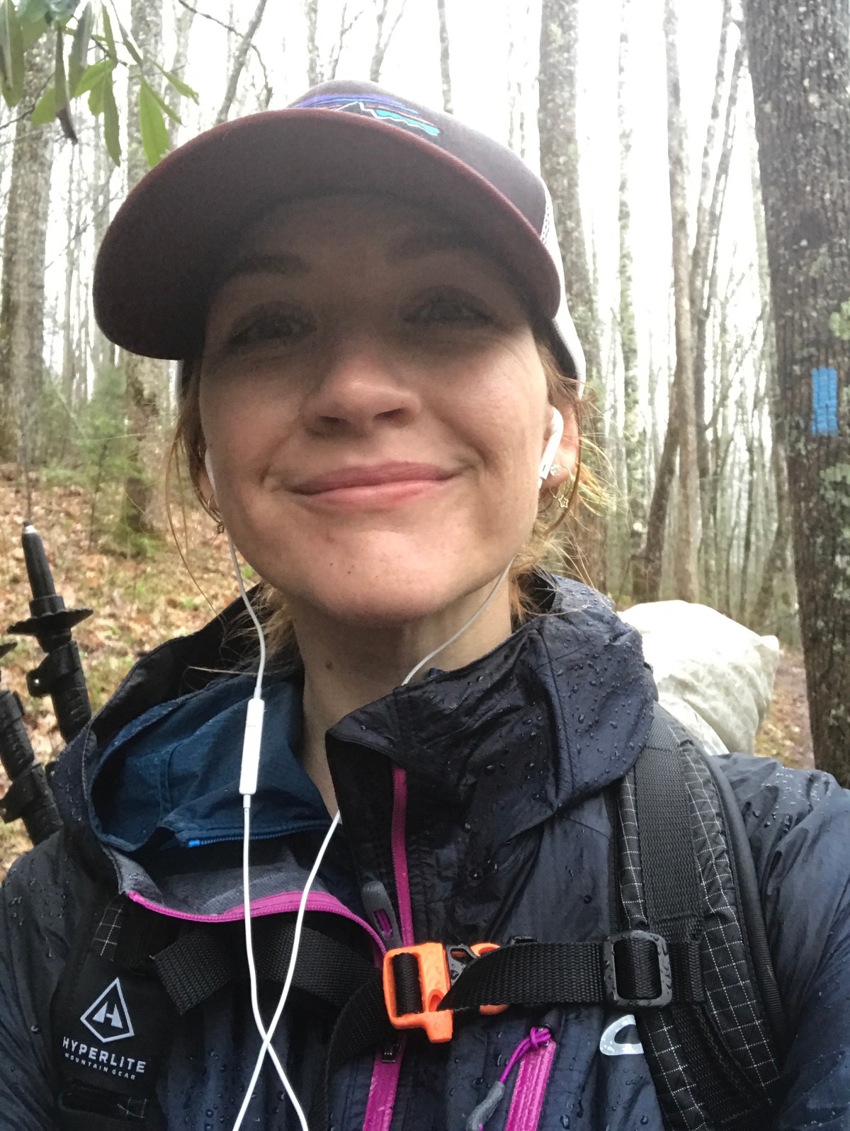
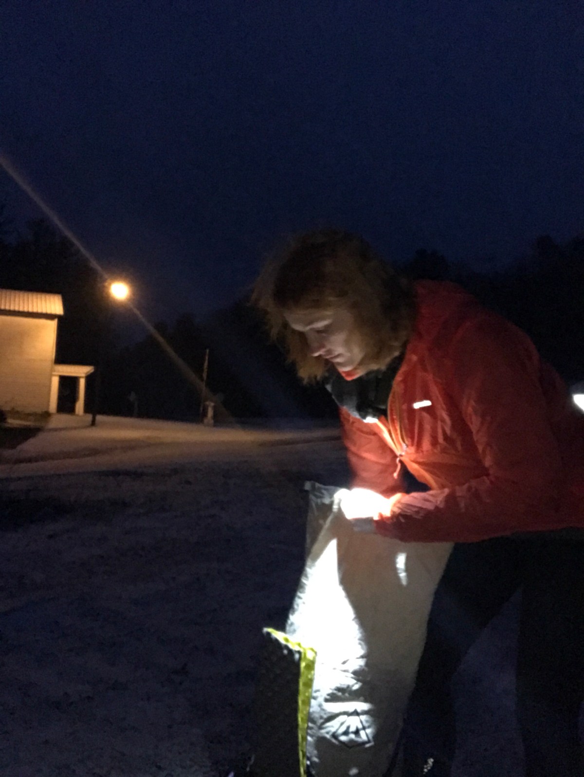
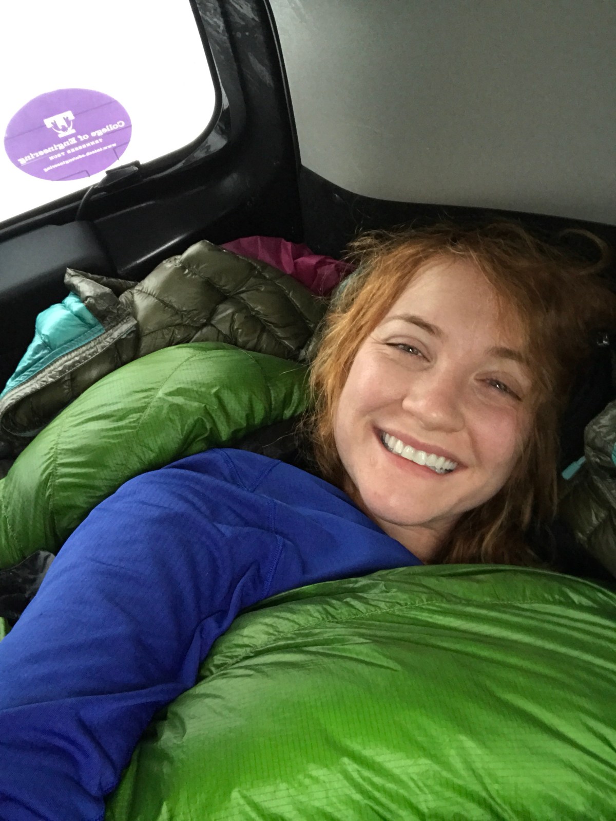
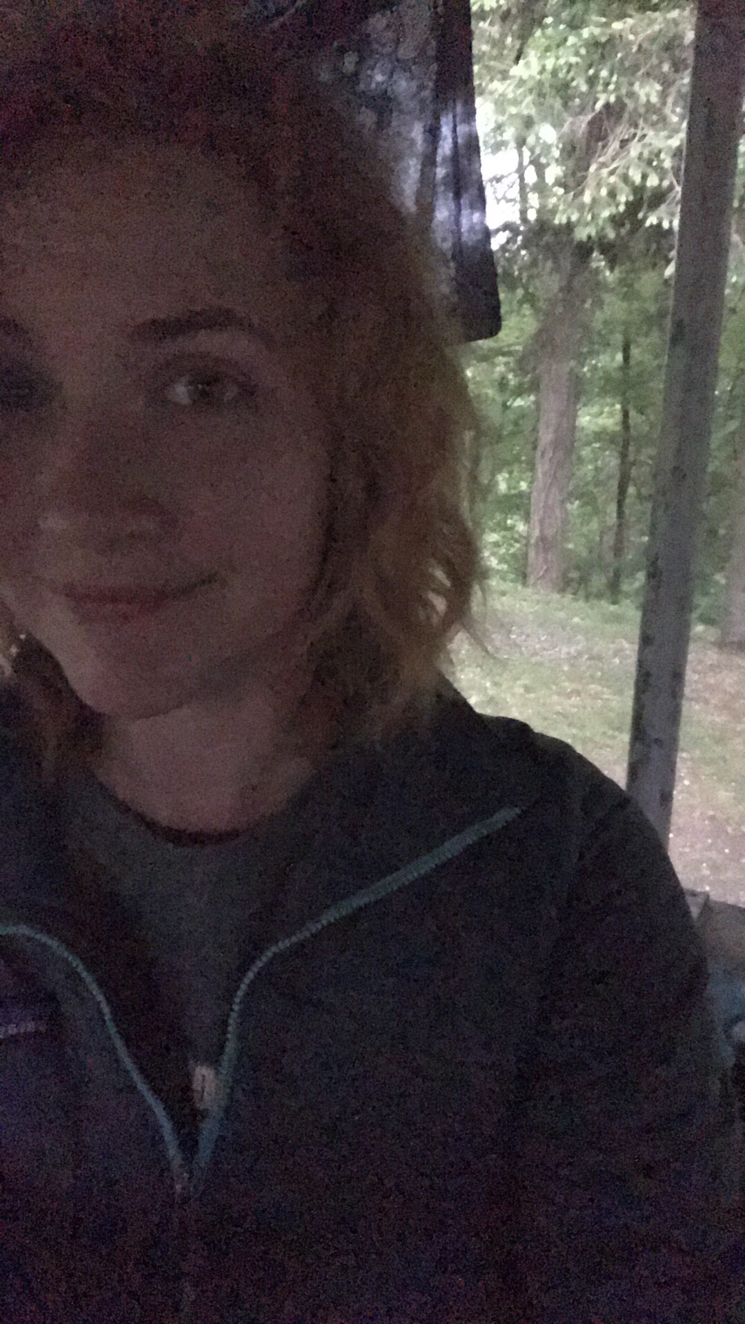
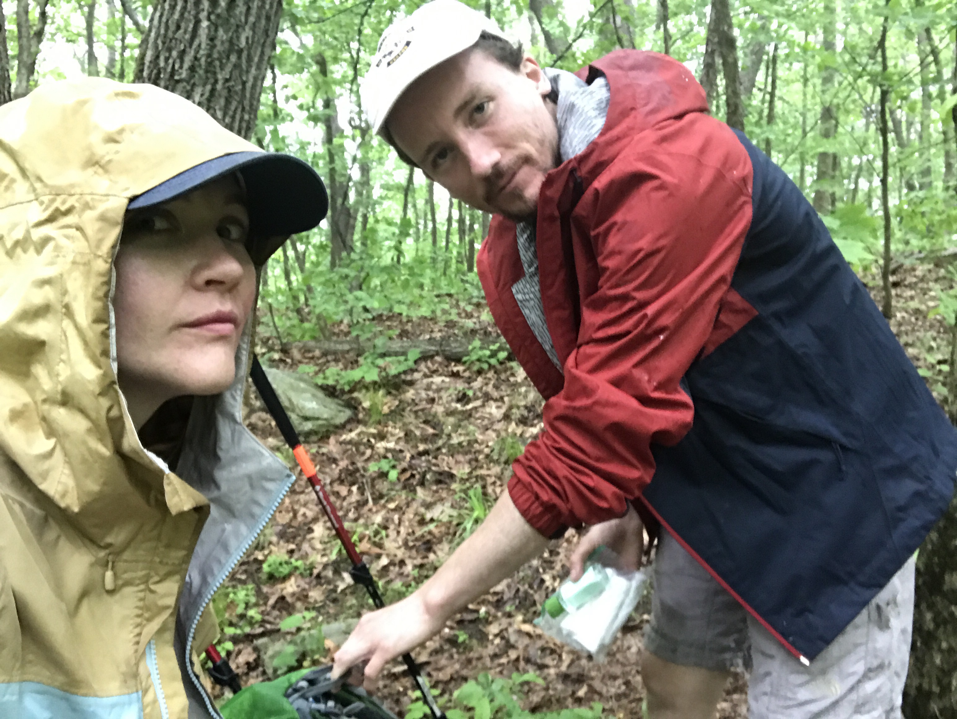
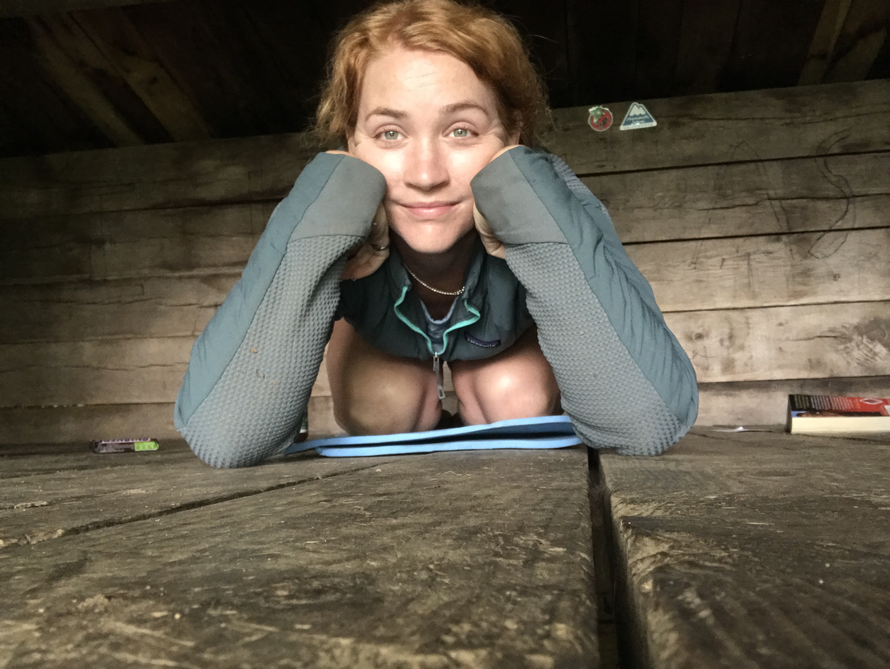
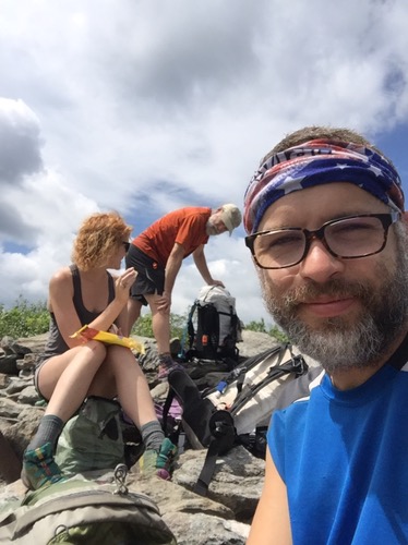
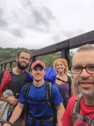
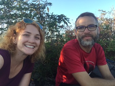
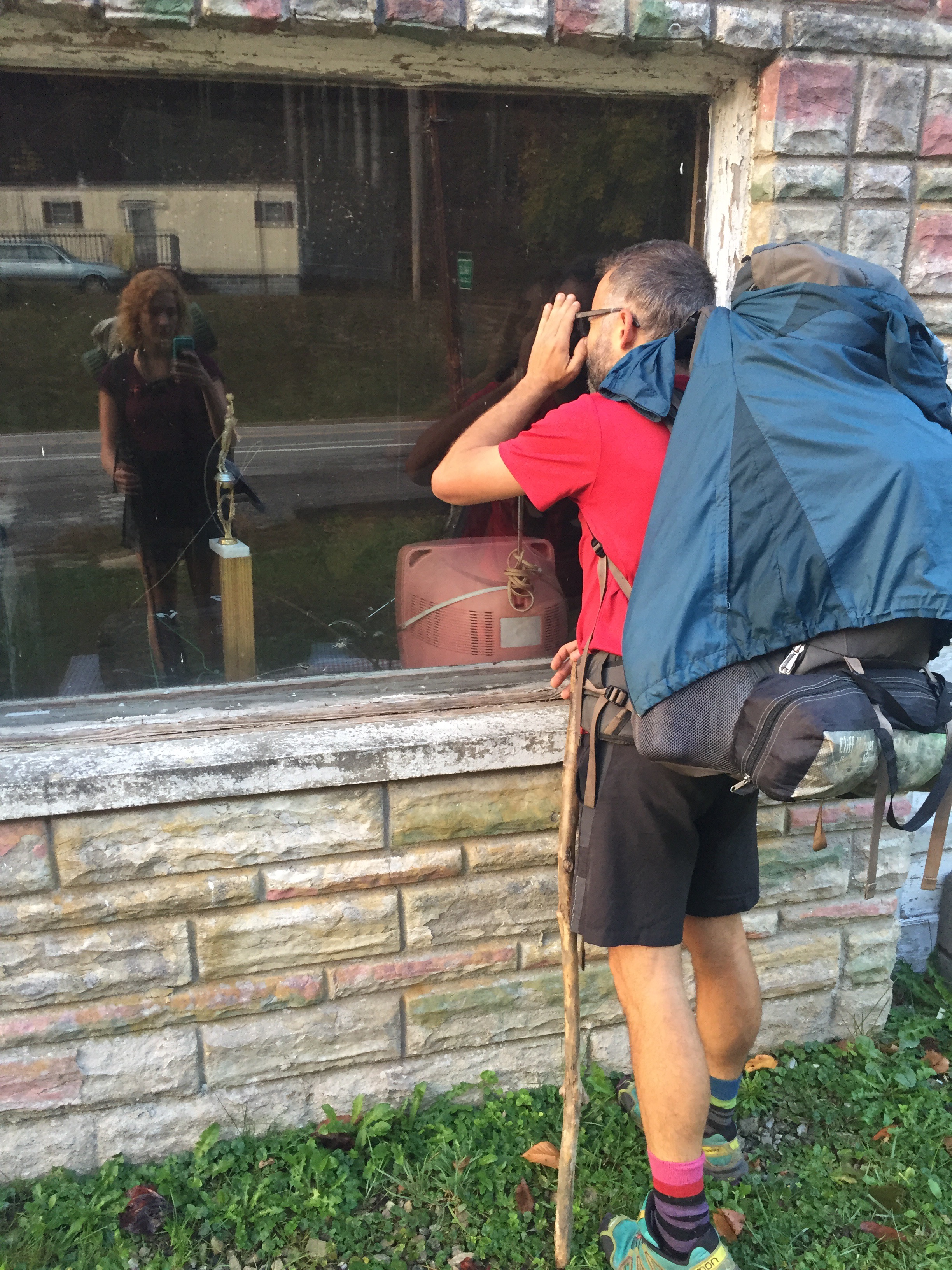
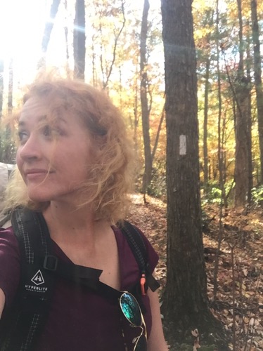
Did you know that the sun rises at 5am? It does. And by 6:30, Bent and I were on the trail. I prefer to wait for anyone else there to leave first, so that I can make sure I don’t forget anything in the shelter. So we waited for Running Bear and Trail Dog to leave, then headed out.

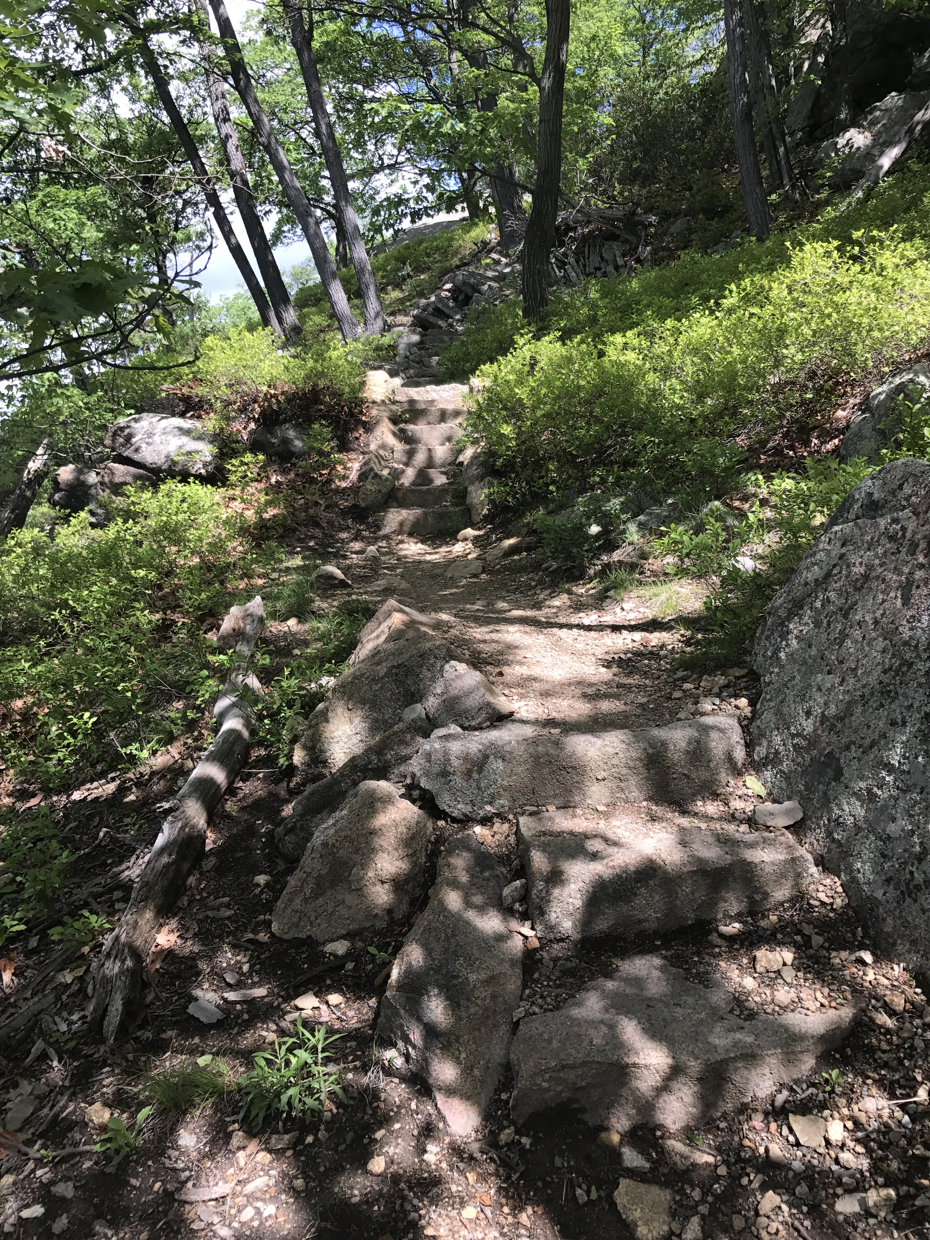
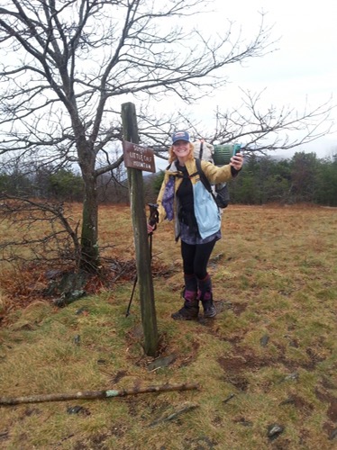
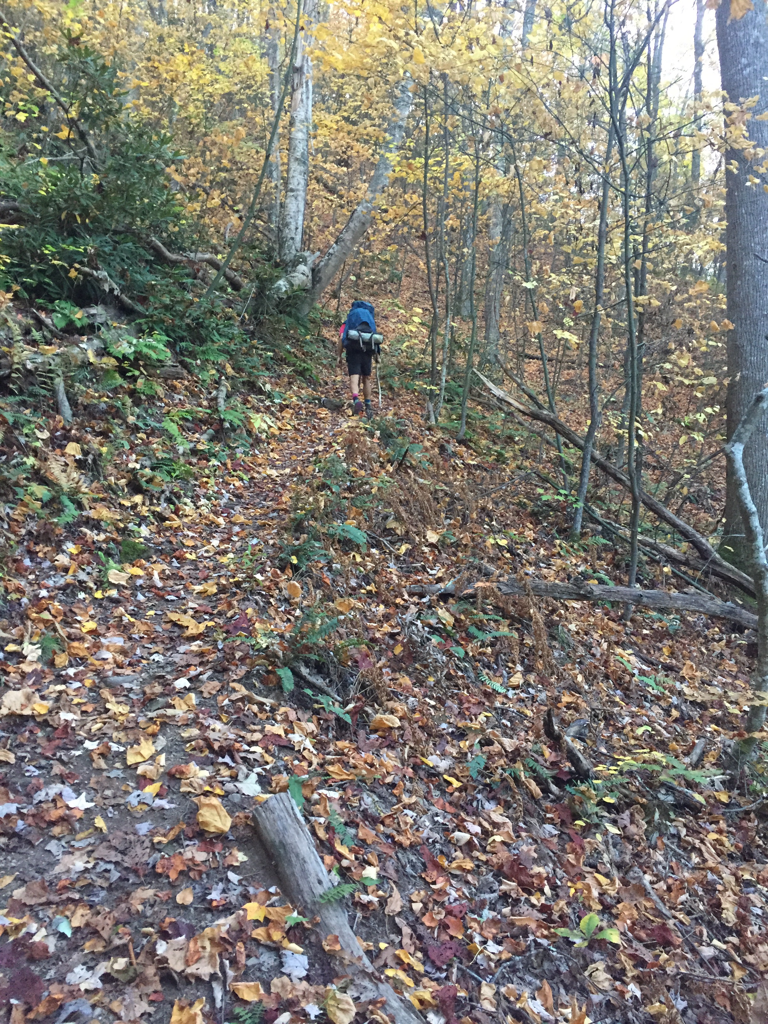
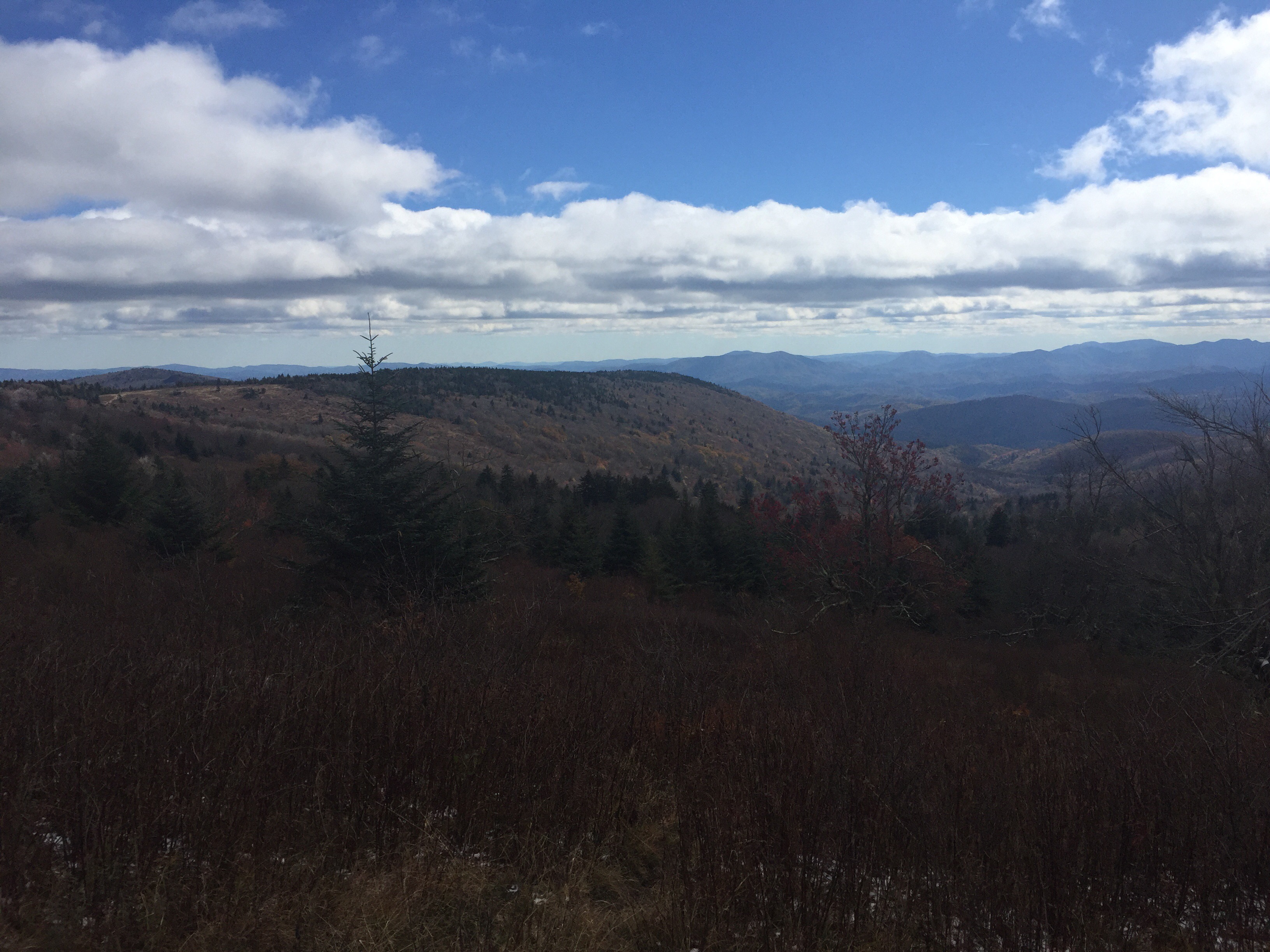
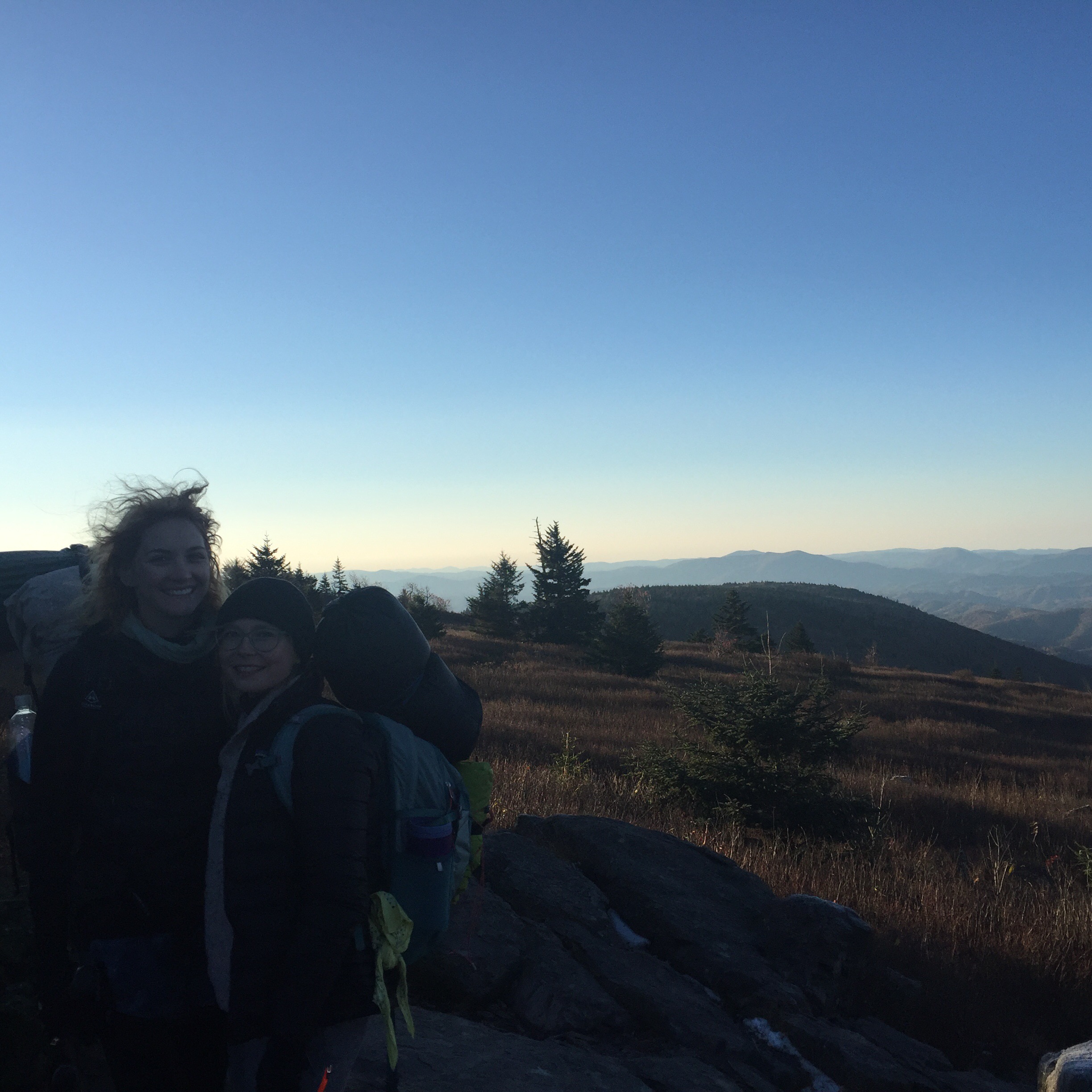
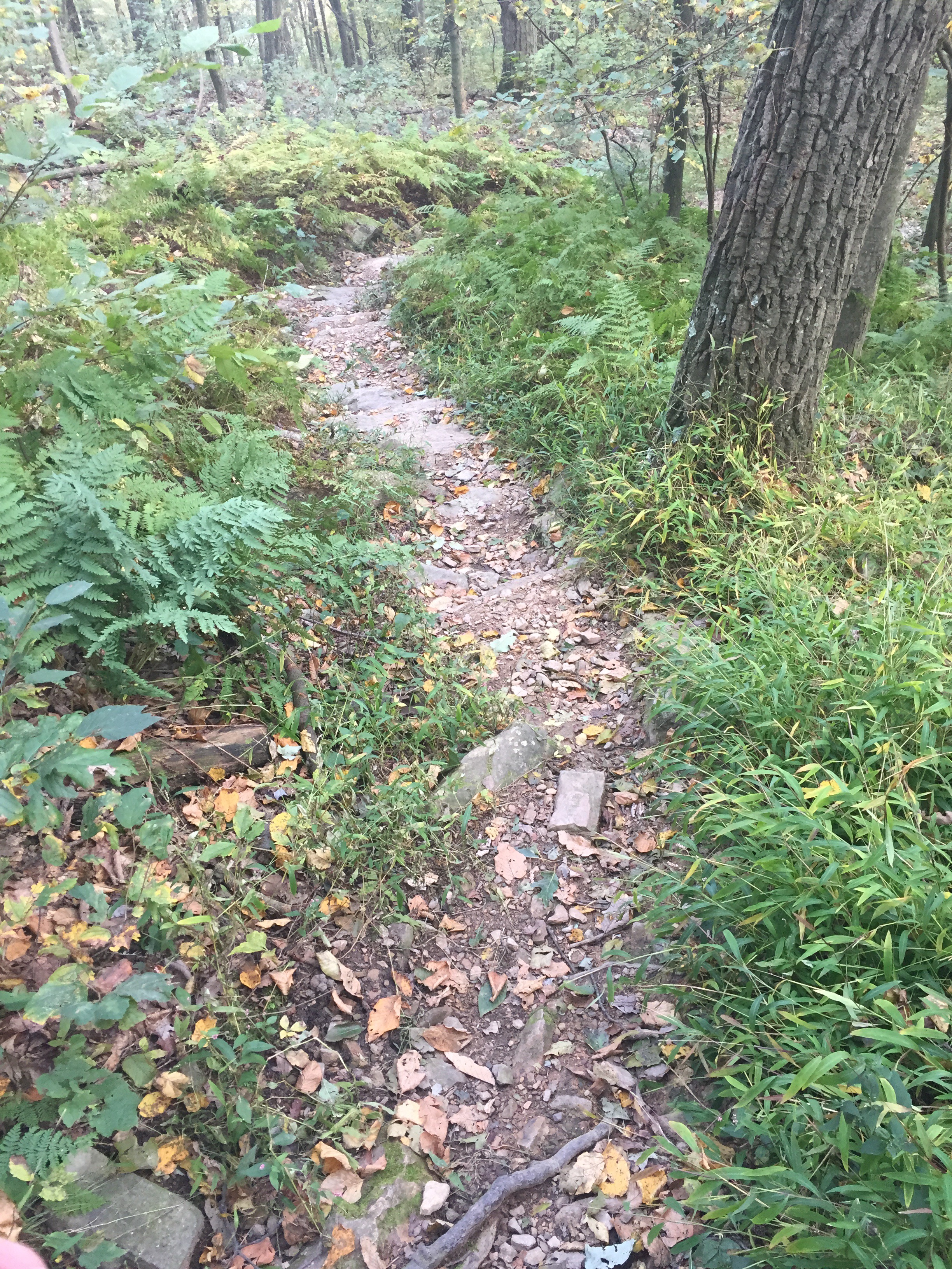
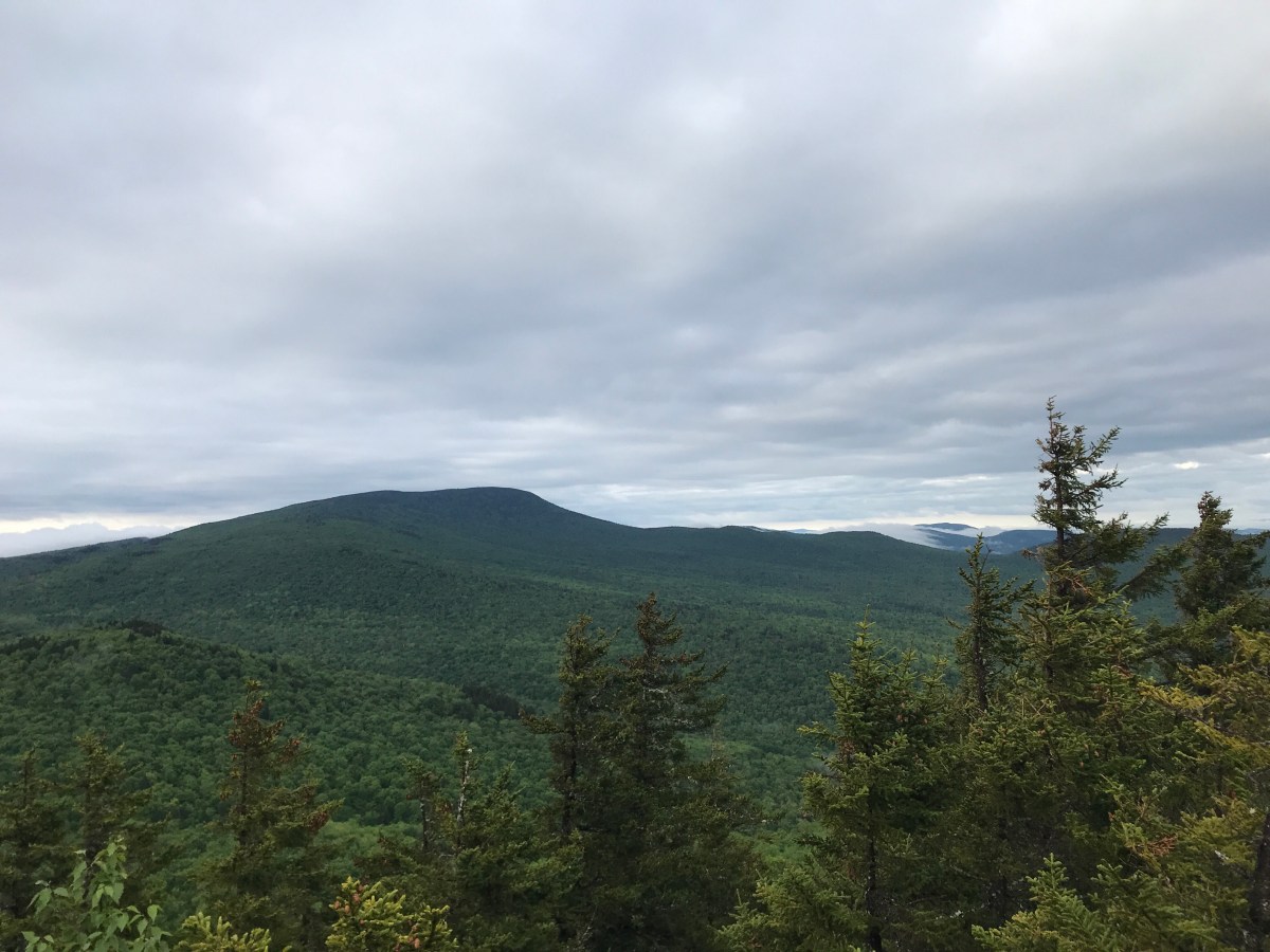
The climb up to Mt Cube wasn’t all that bad. My ribs are no longer sore from my gasps for breath, so I feel like maybe I’m getting better at hiking.

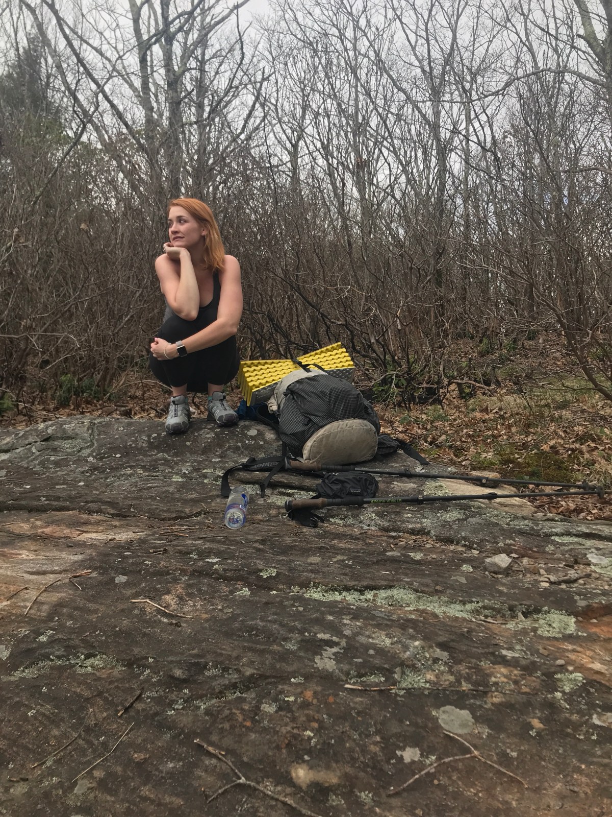
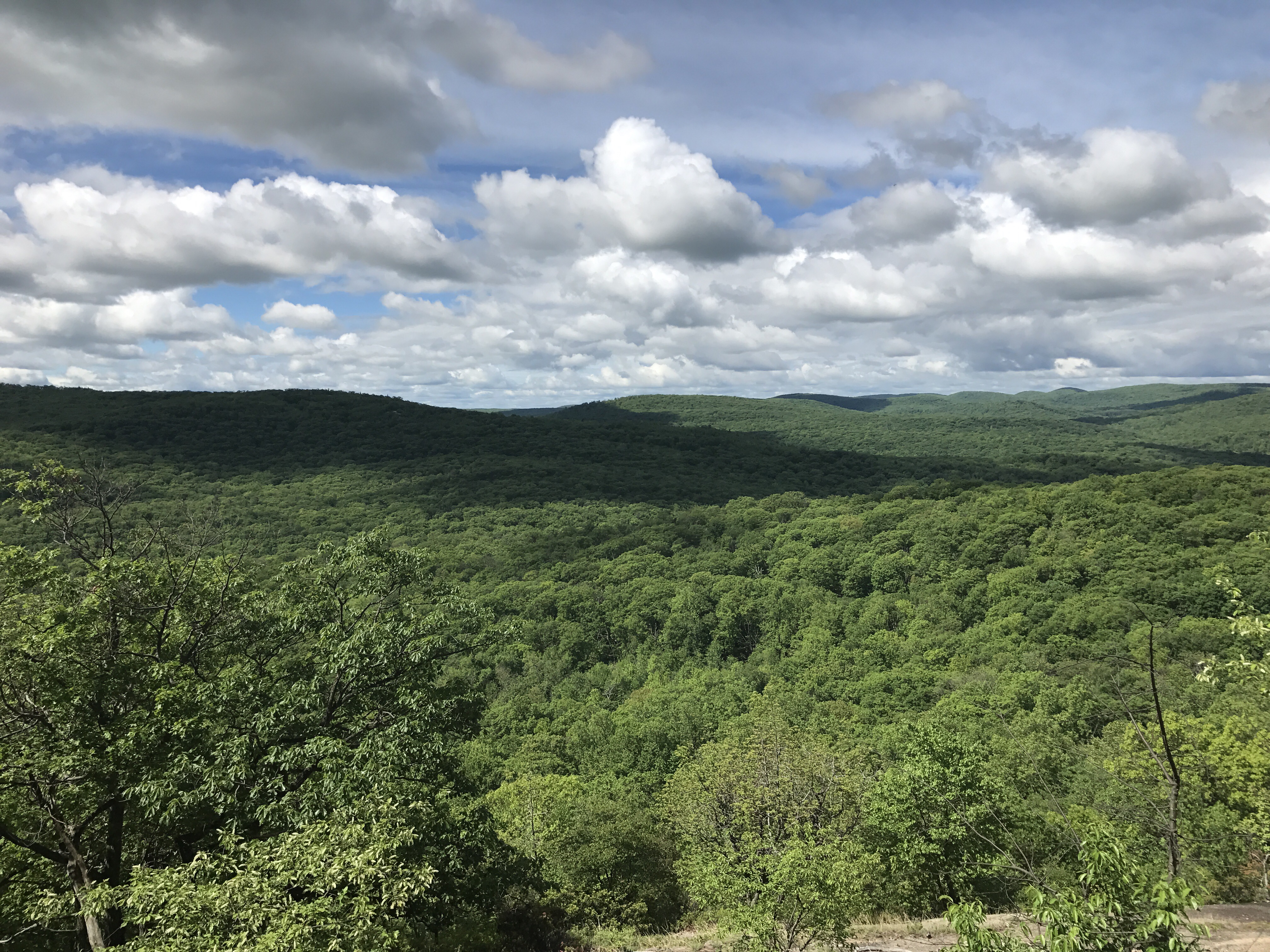
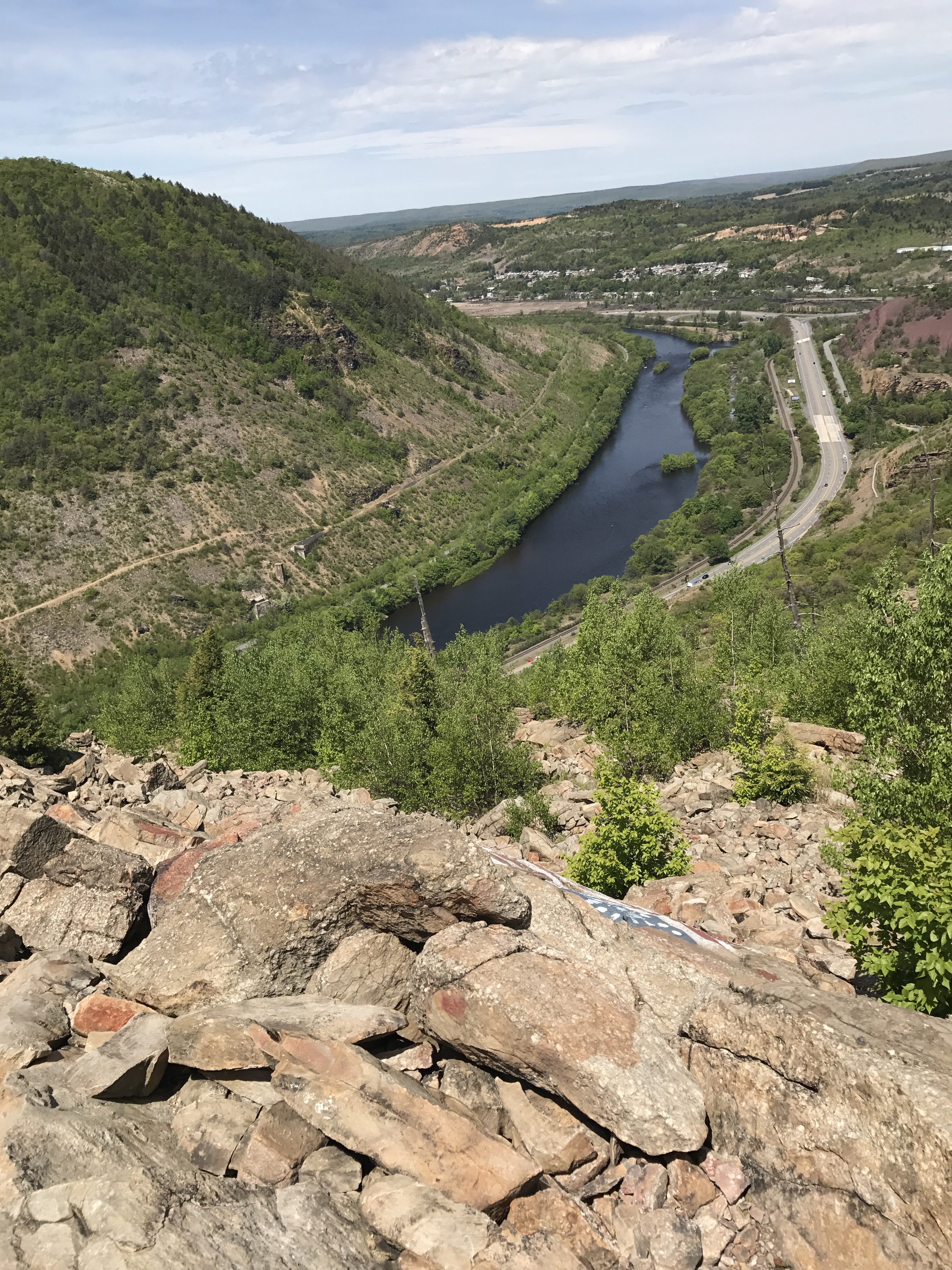
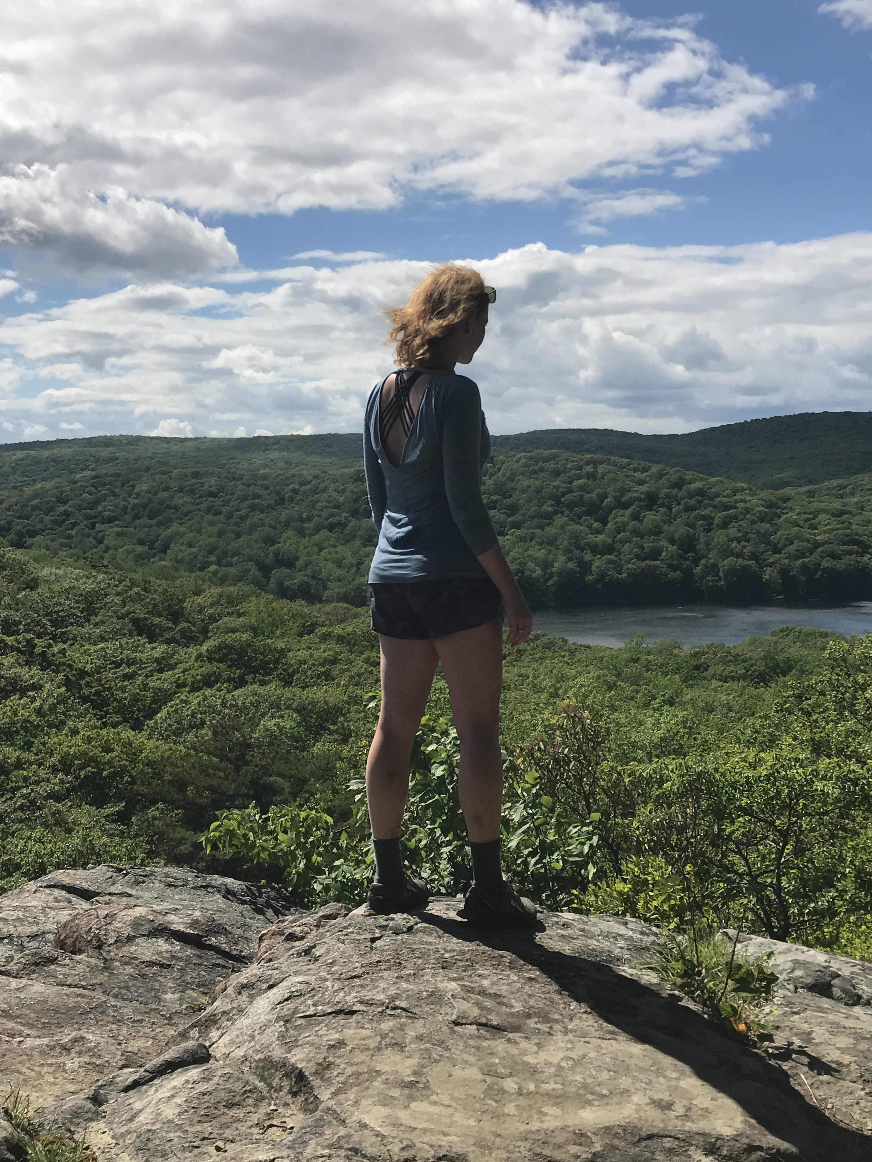
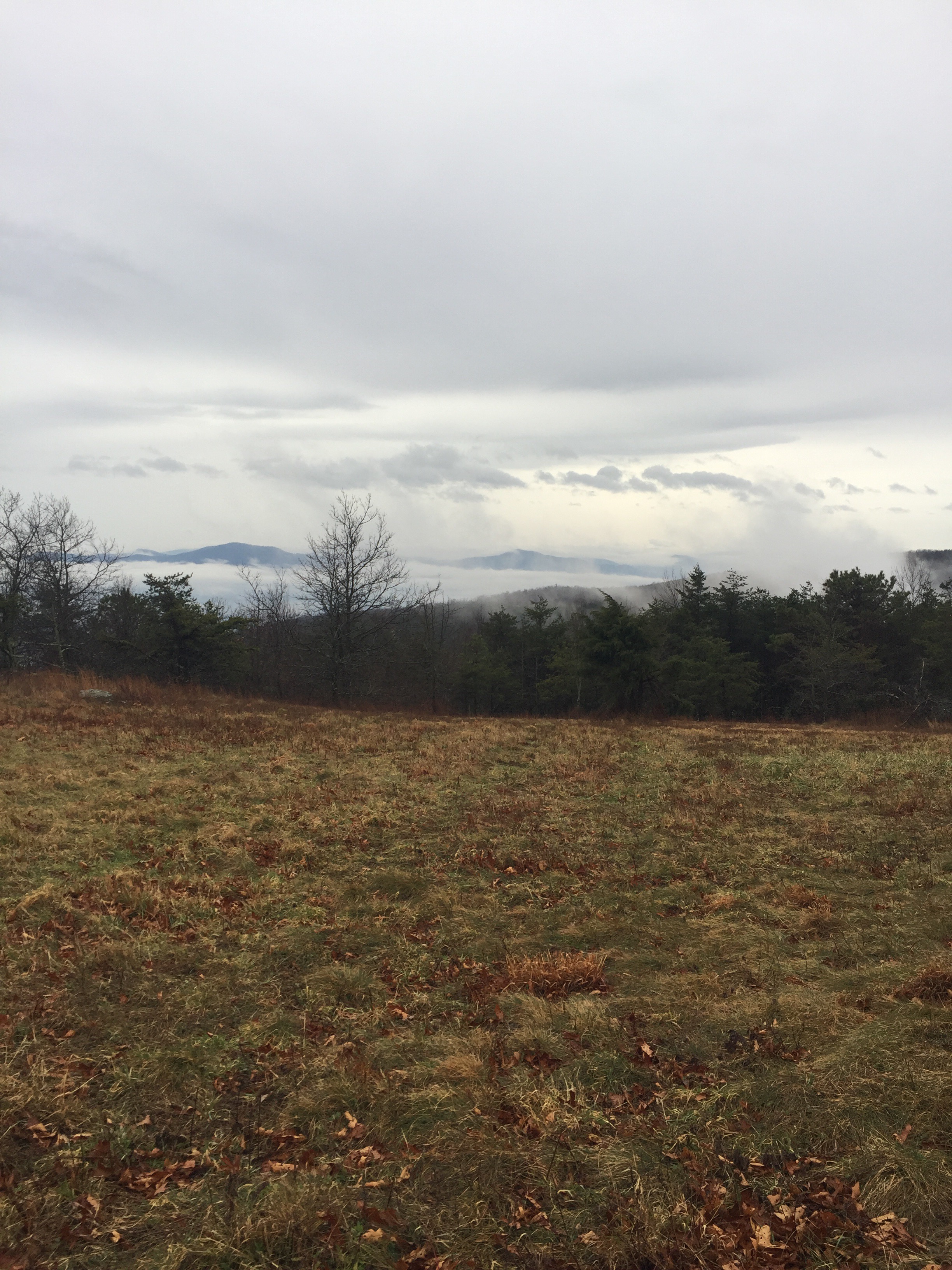
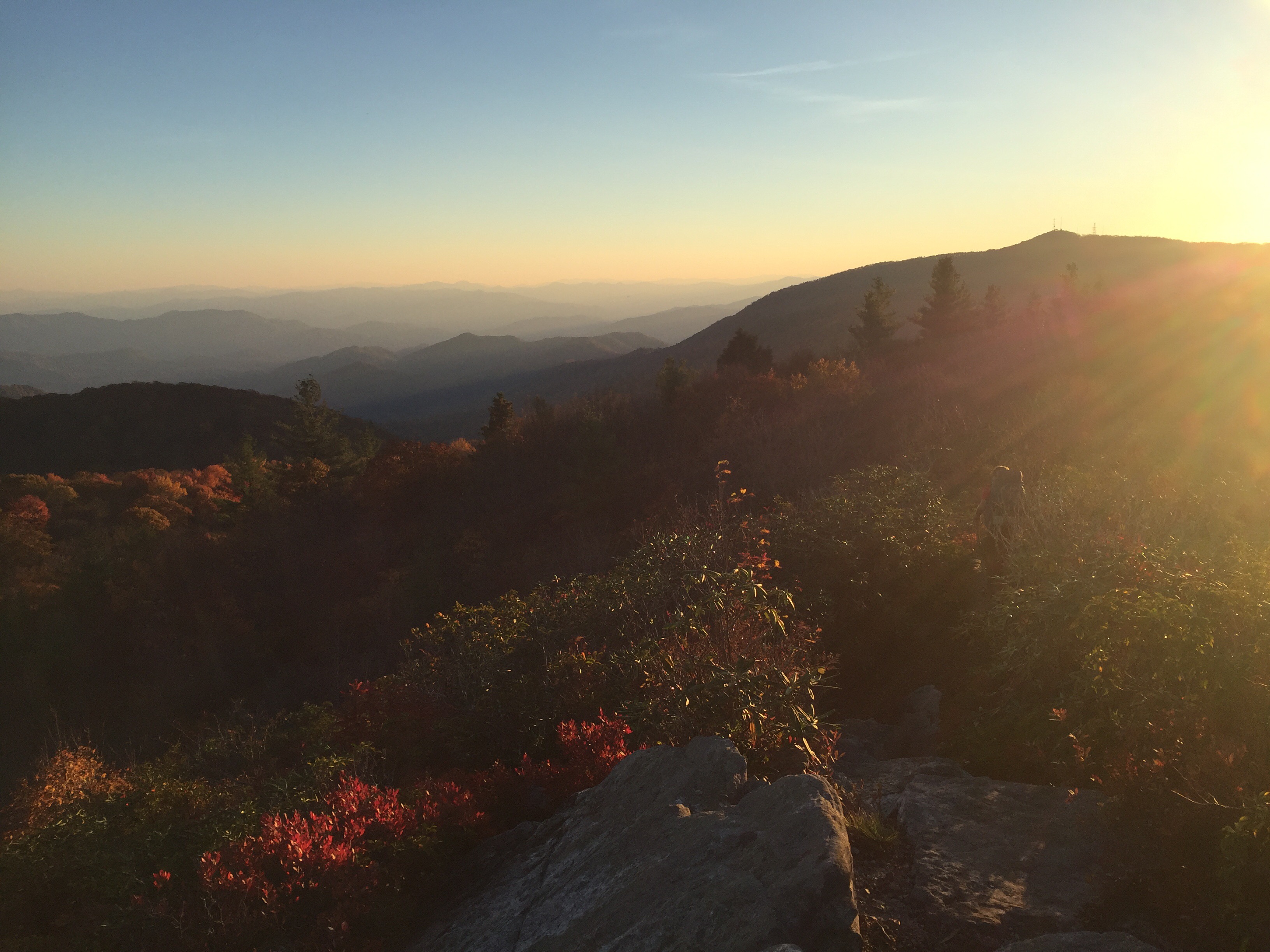
There was so much to look at up there. We even saw Smarts Mountain, only 6.9 miles away. It’s incredible, seeing these mountains that look so huge and empty, and knowing that you’ve only recently walked all over them.

Just like little ants.

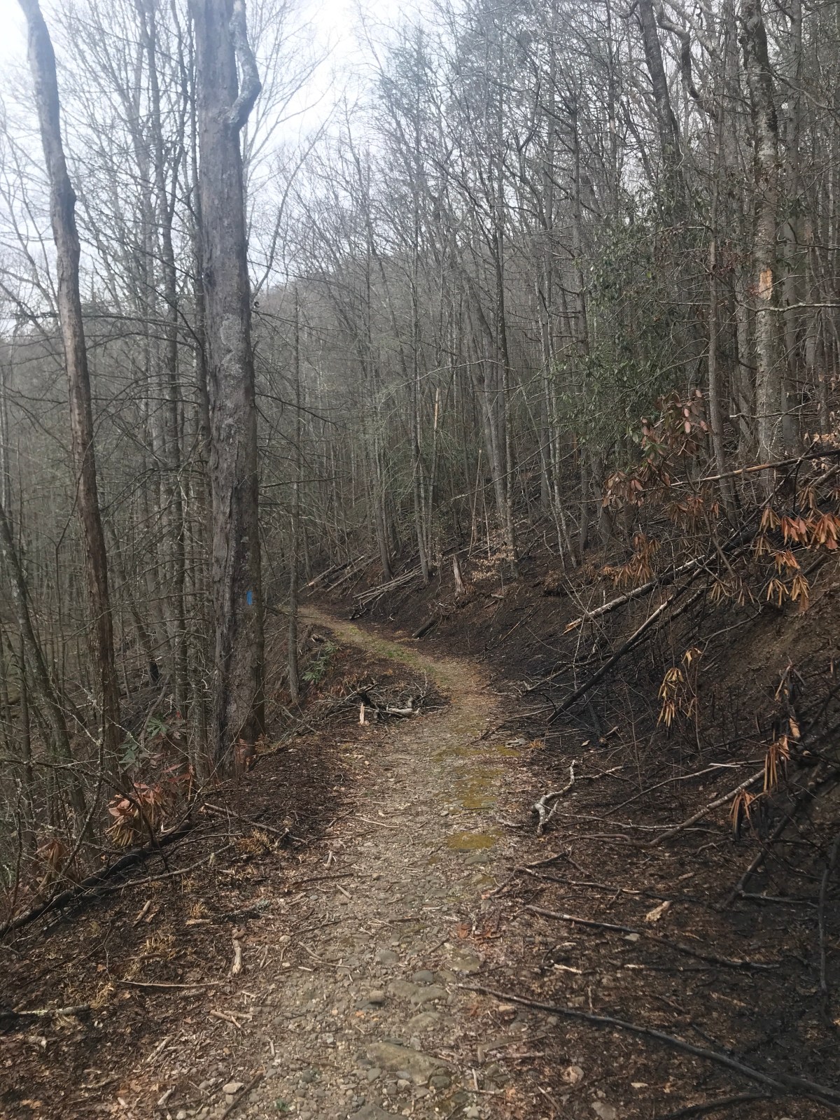
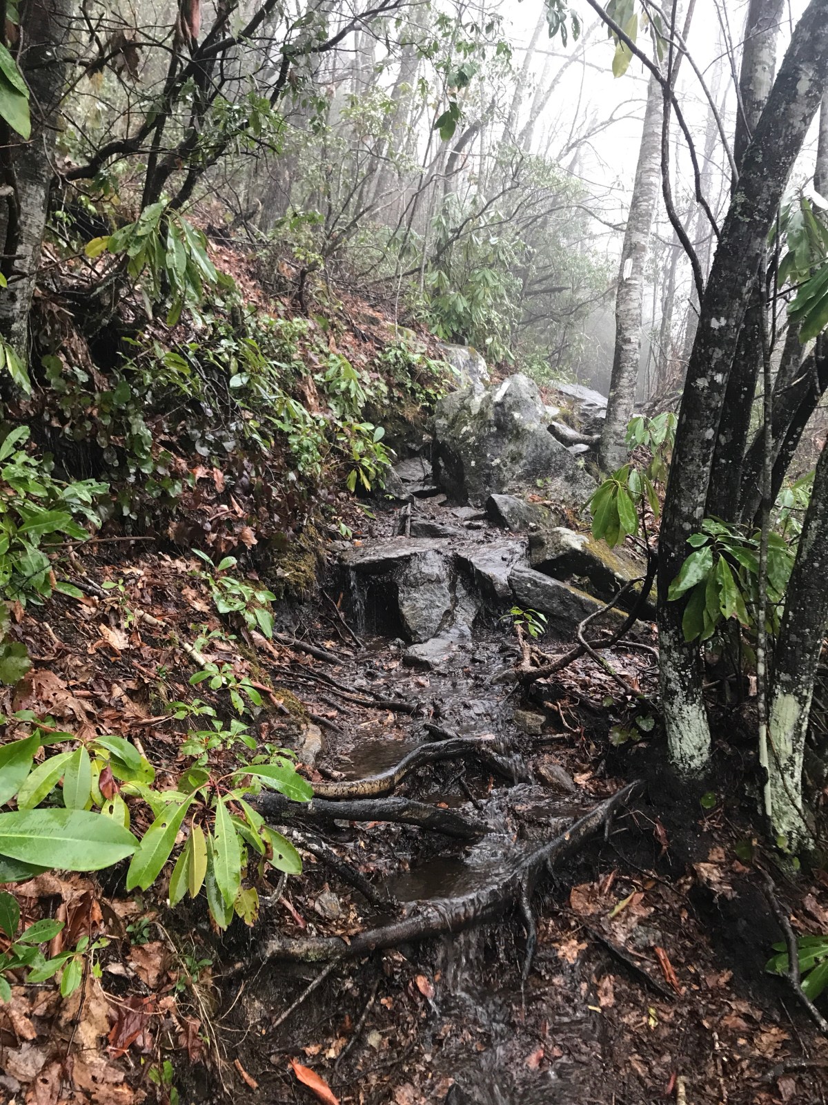
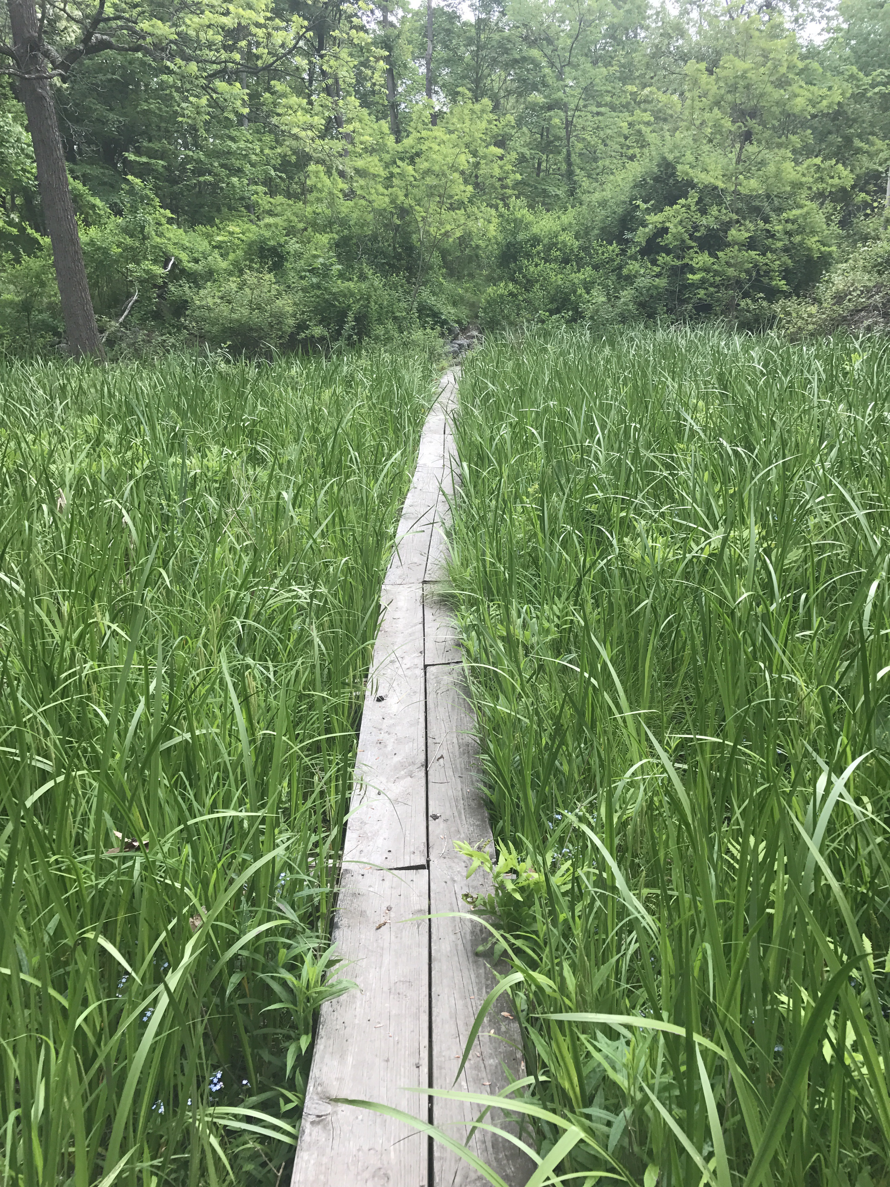
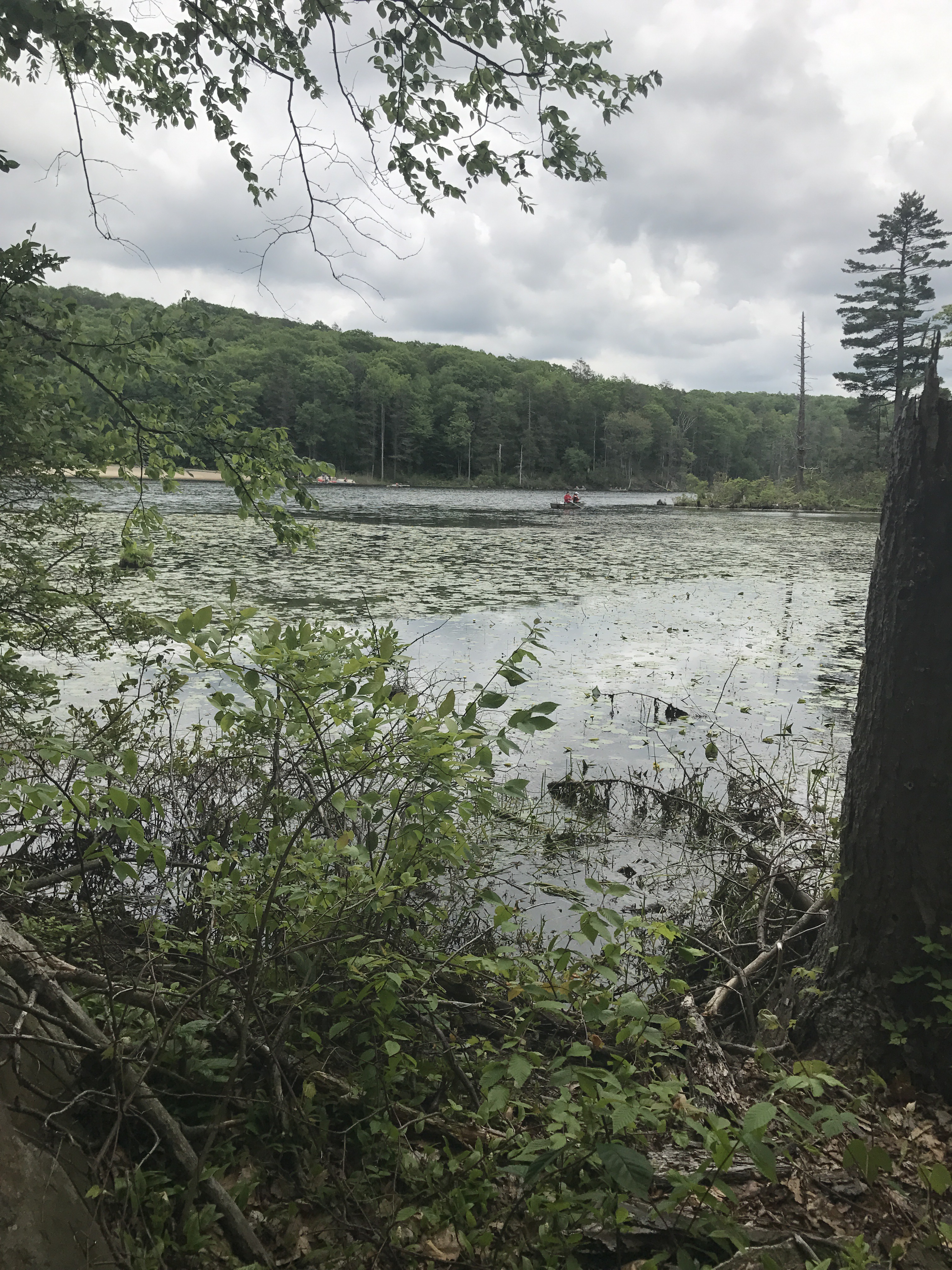
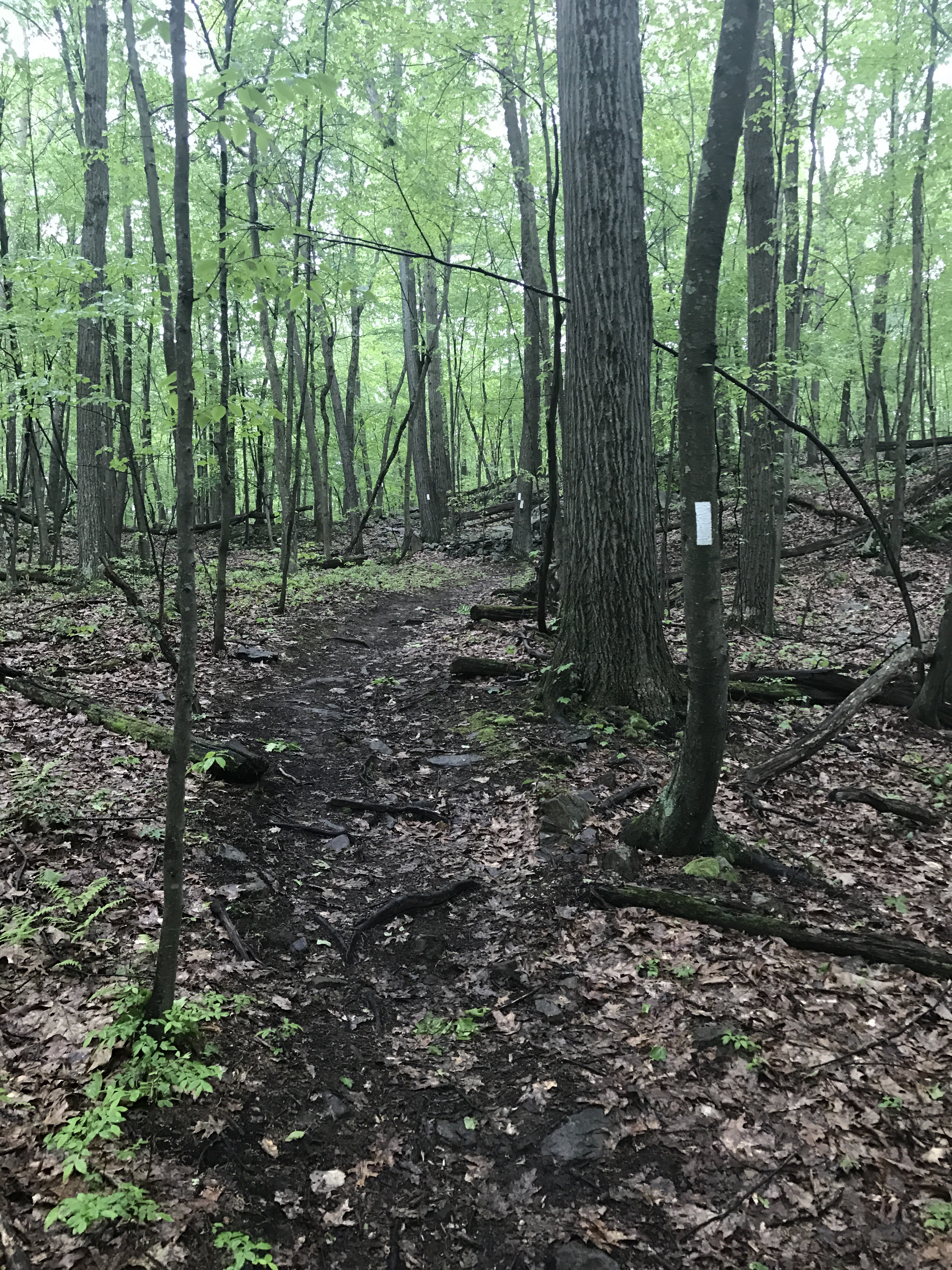
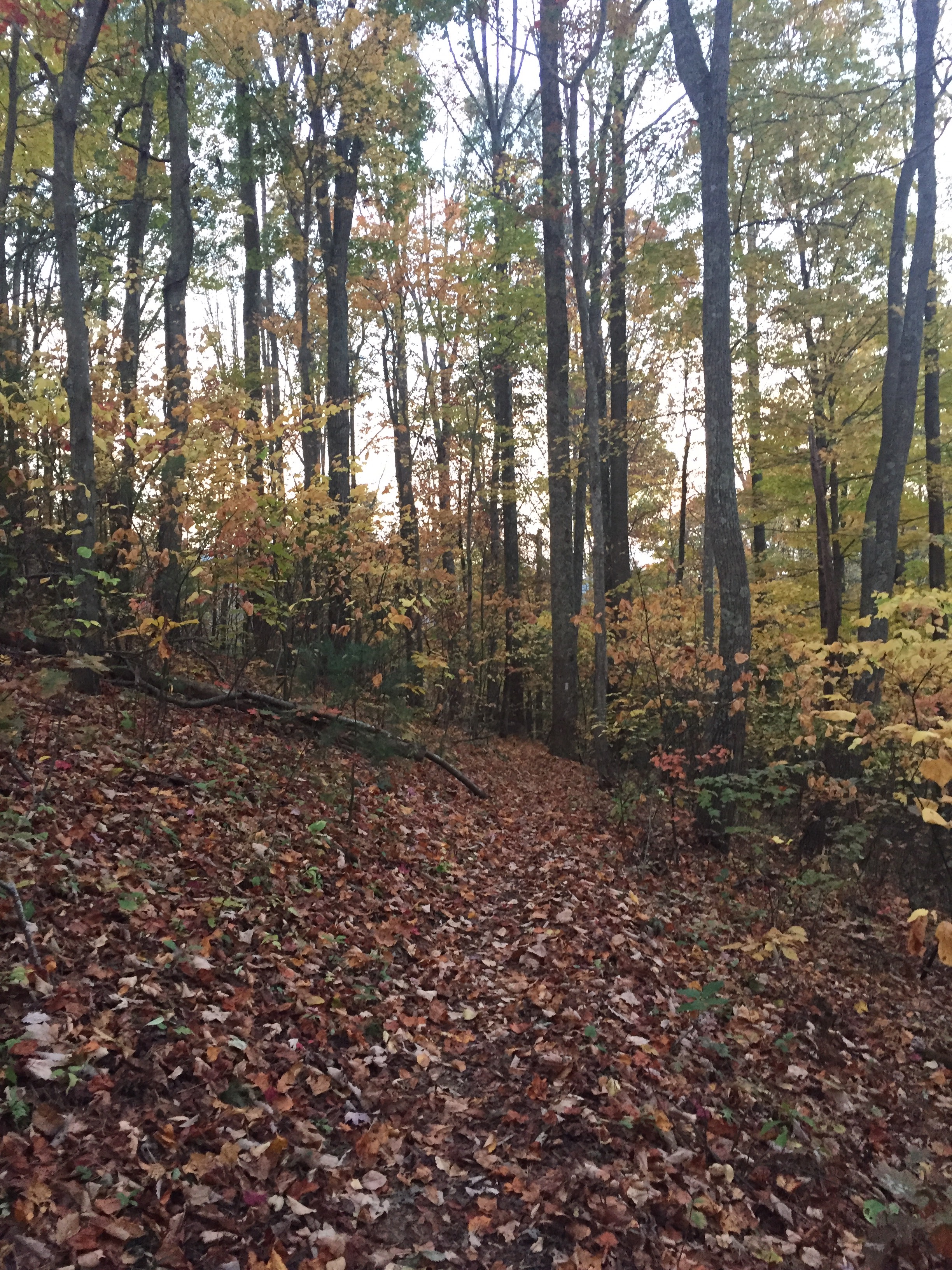
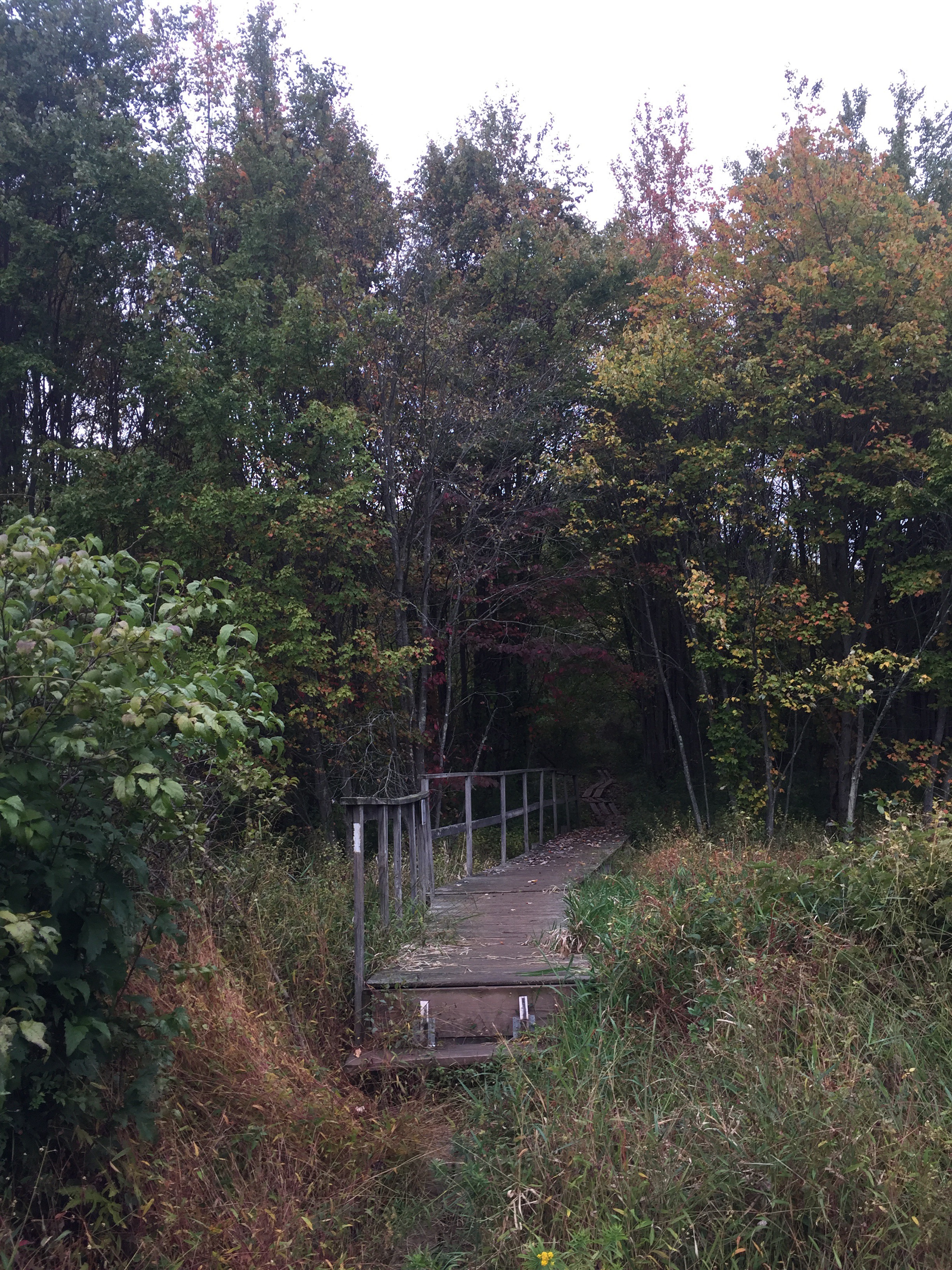
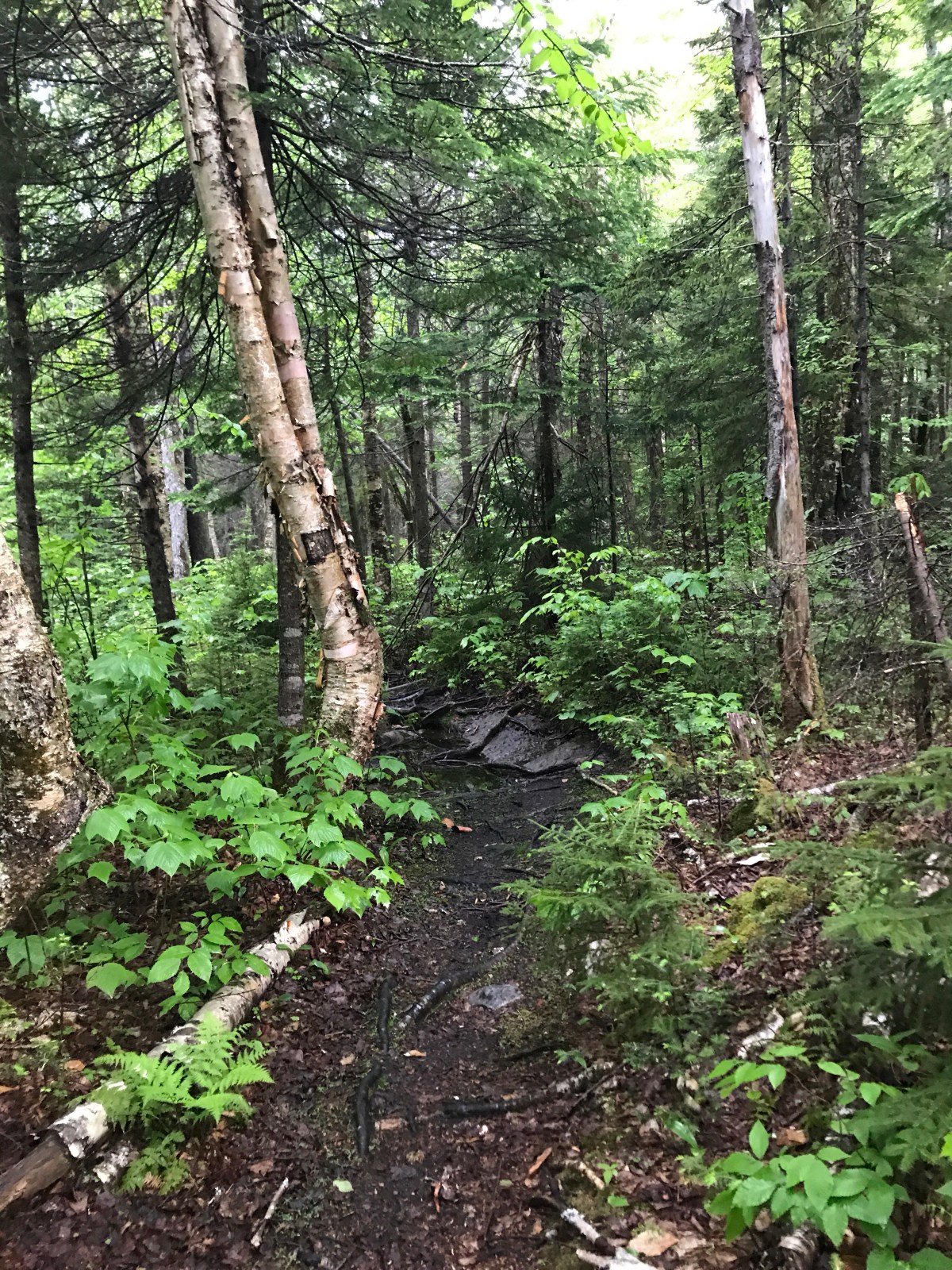
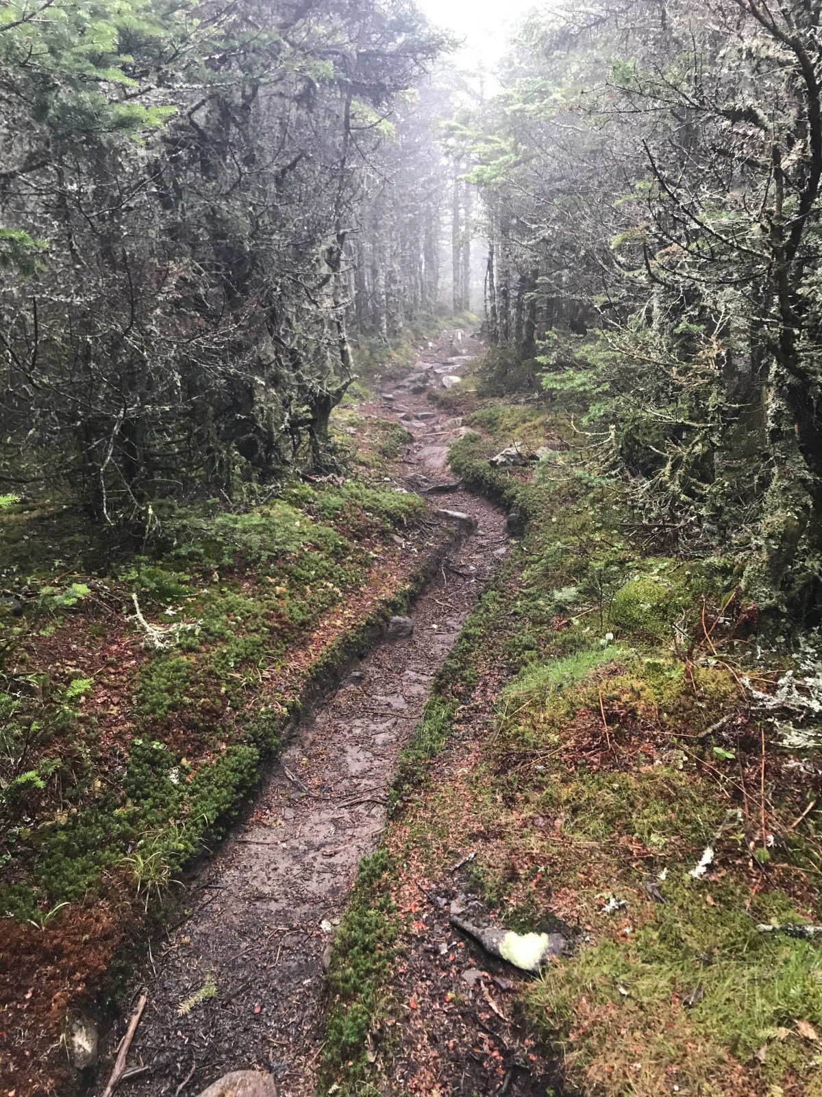
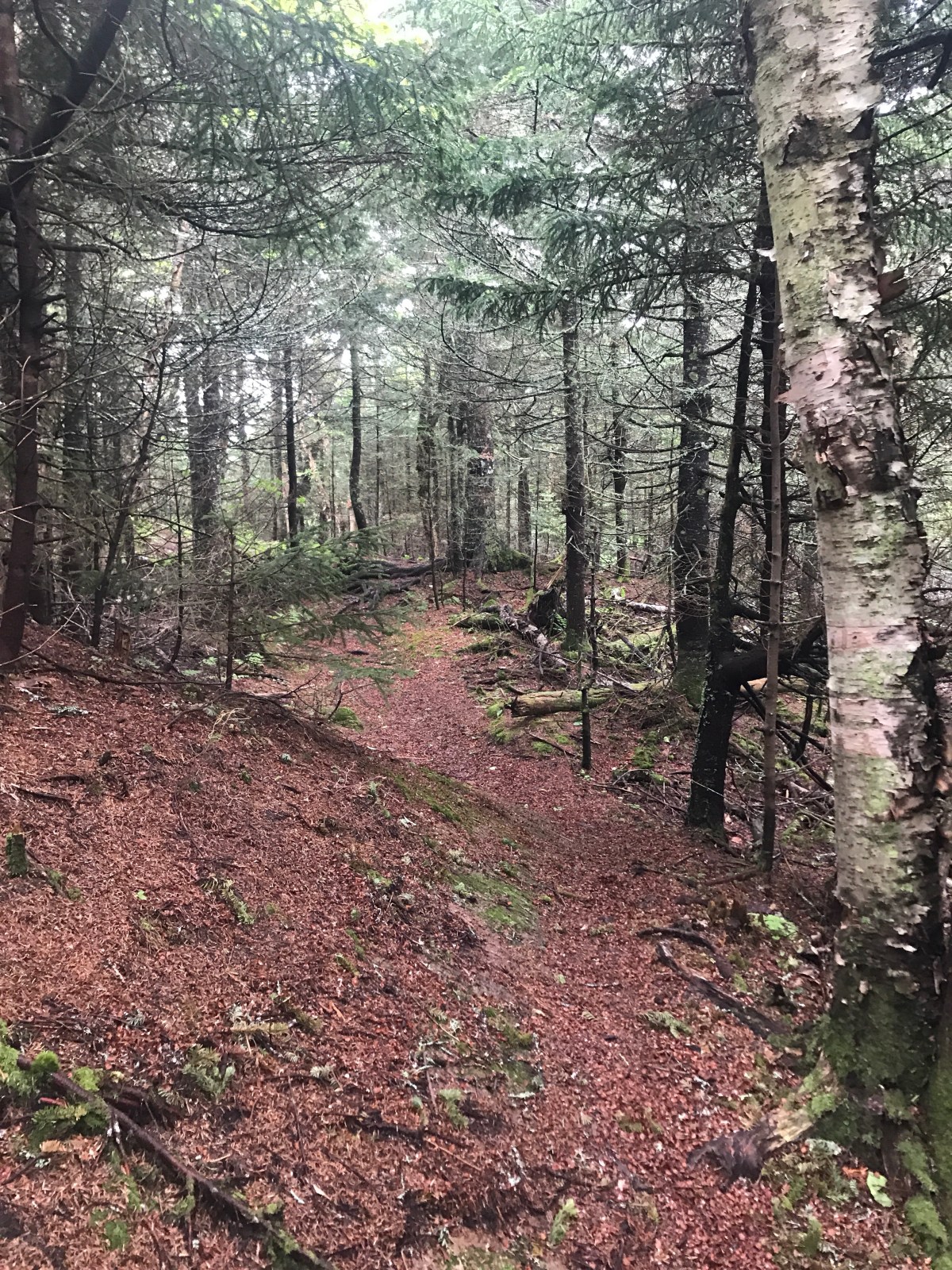
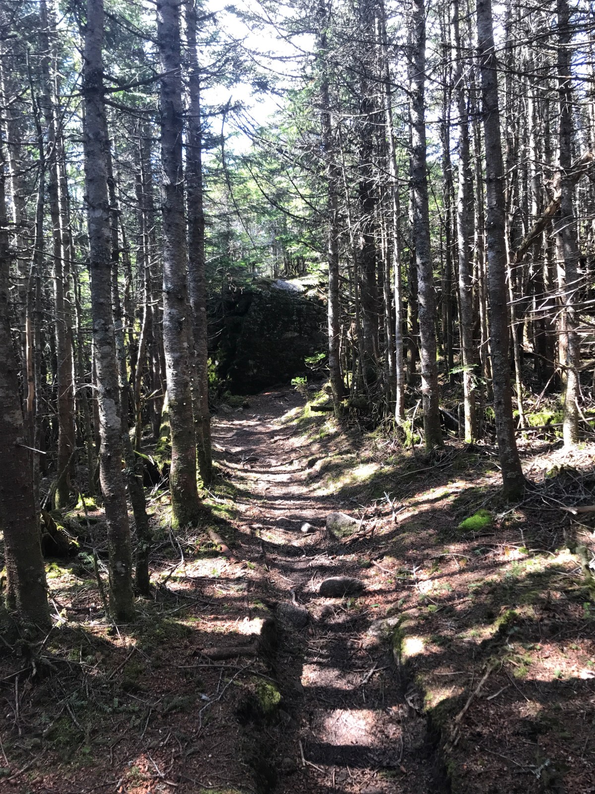
After Mt Cube things got real boring. There was a lot of boring woods, a boring mountain that didn’t even count as a mountain, and a lot of mosquitoes.

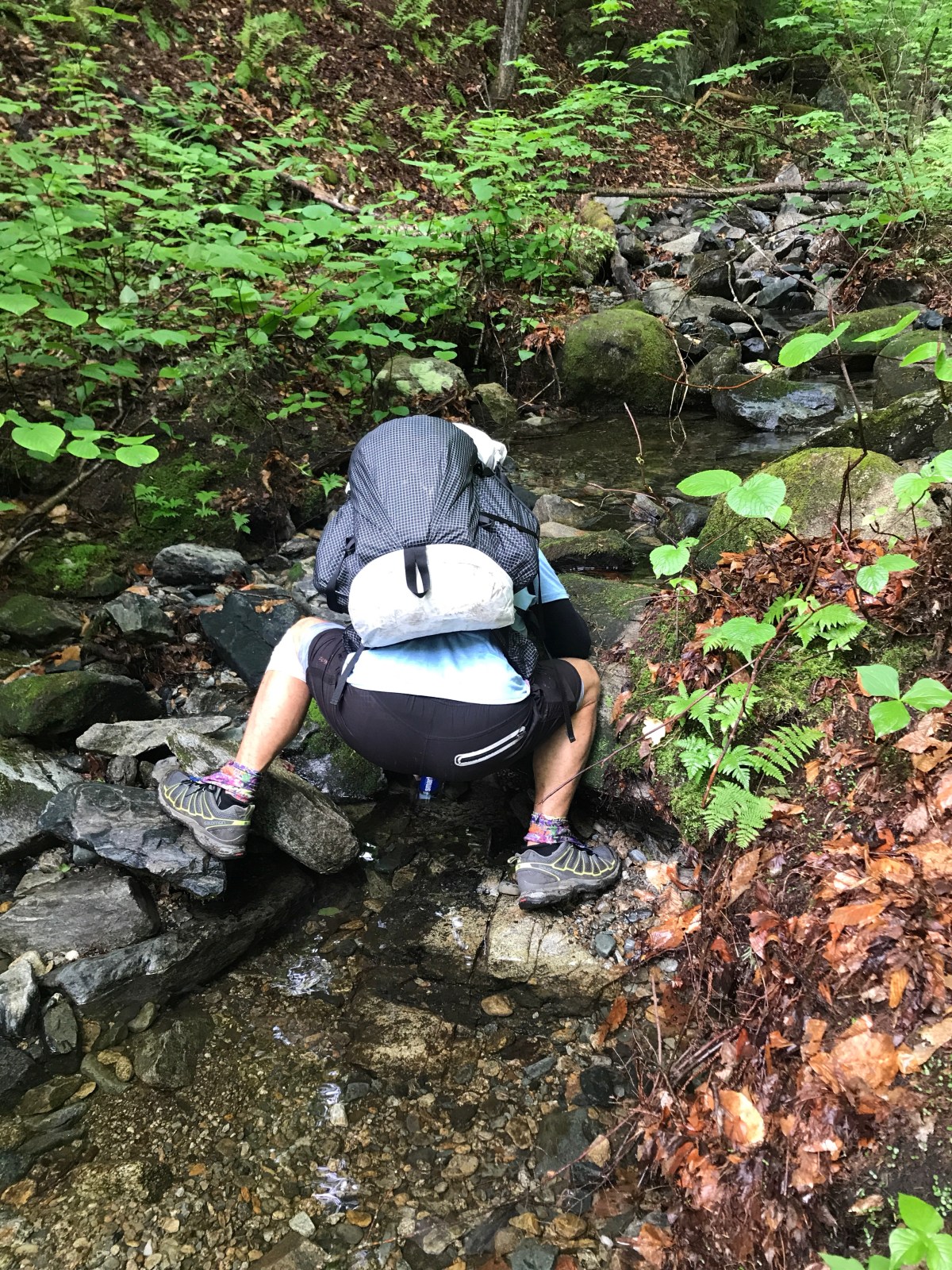
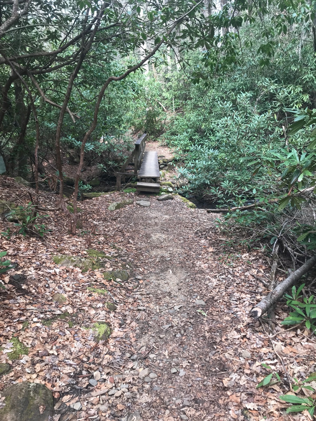
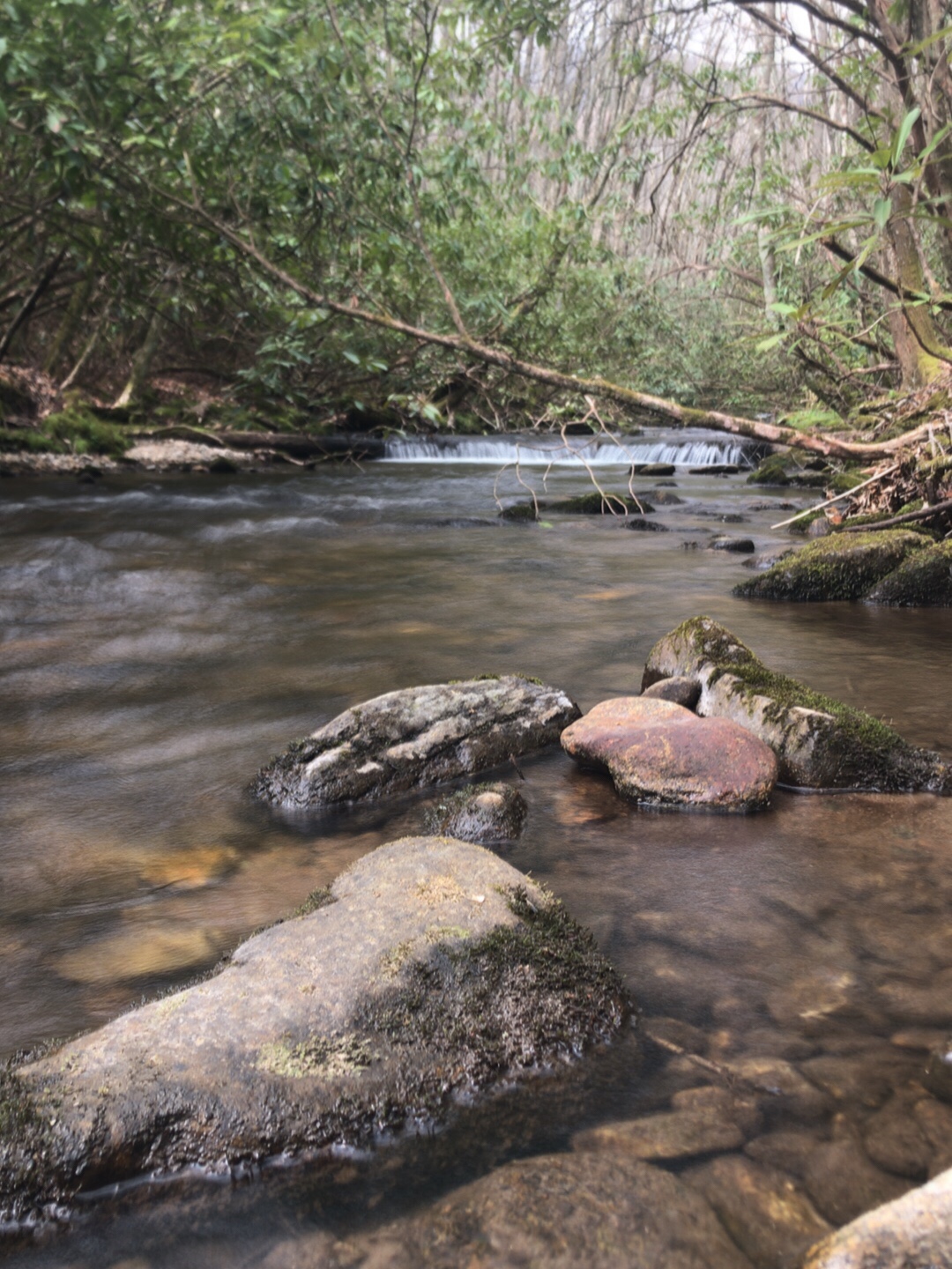
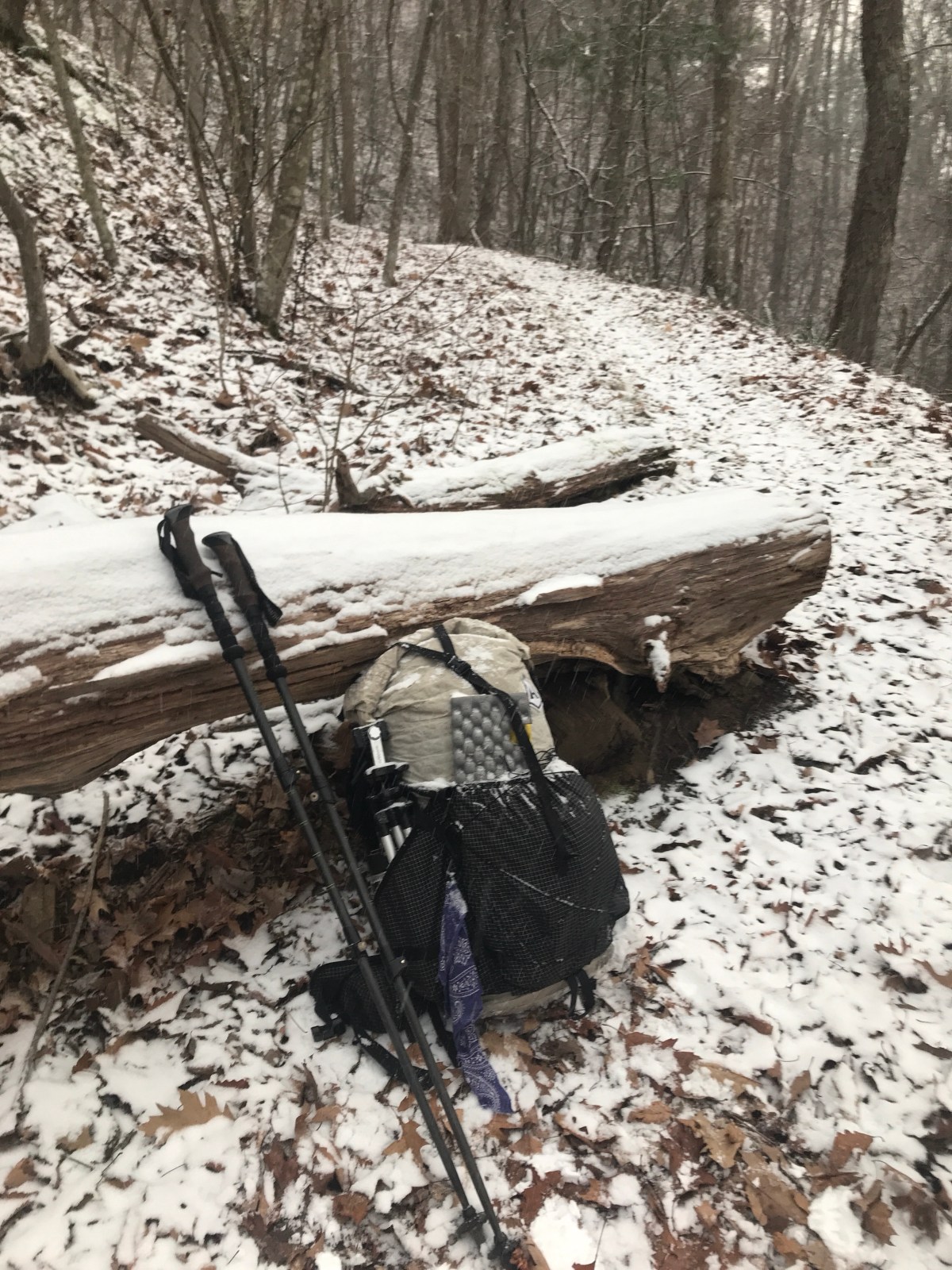
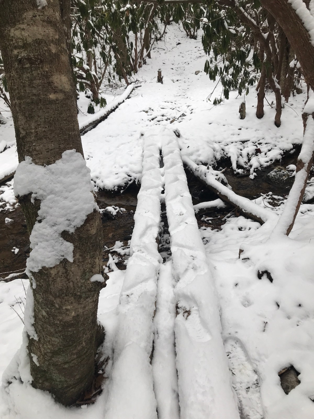
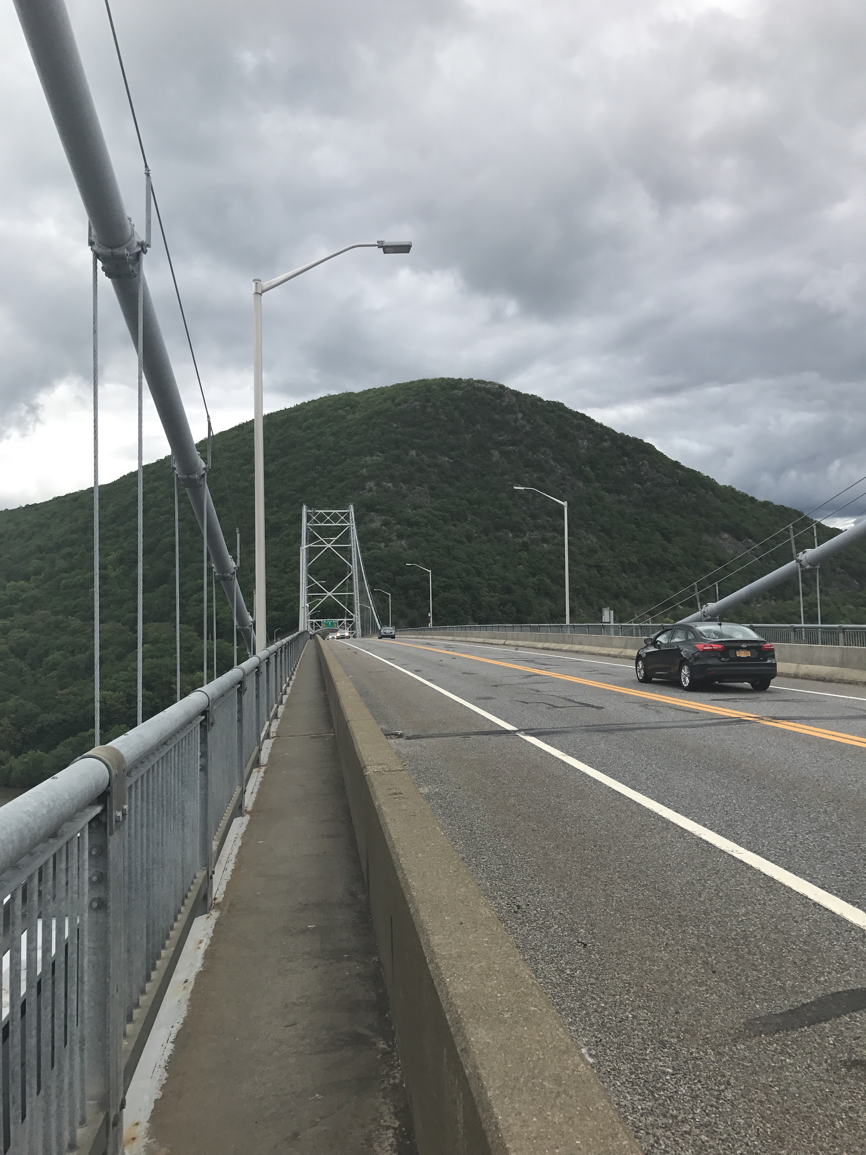
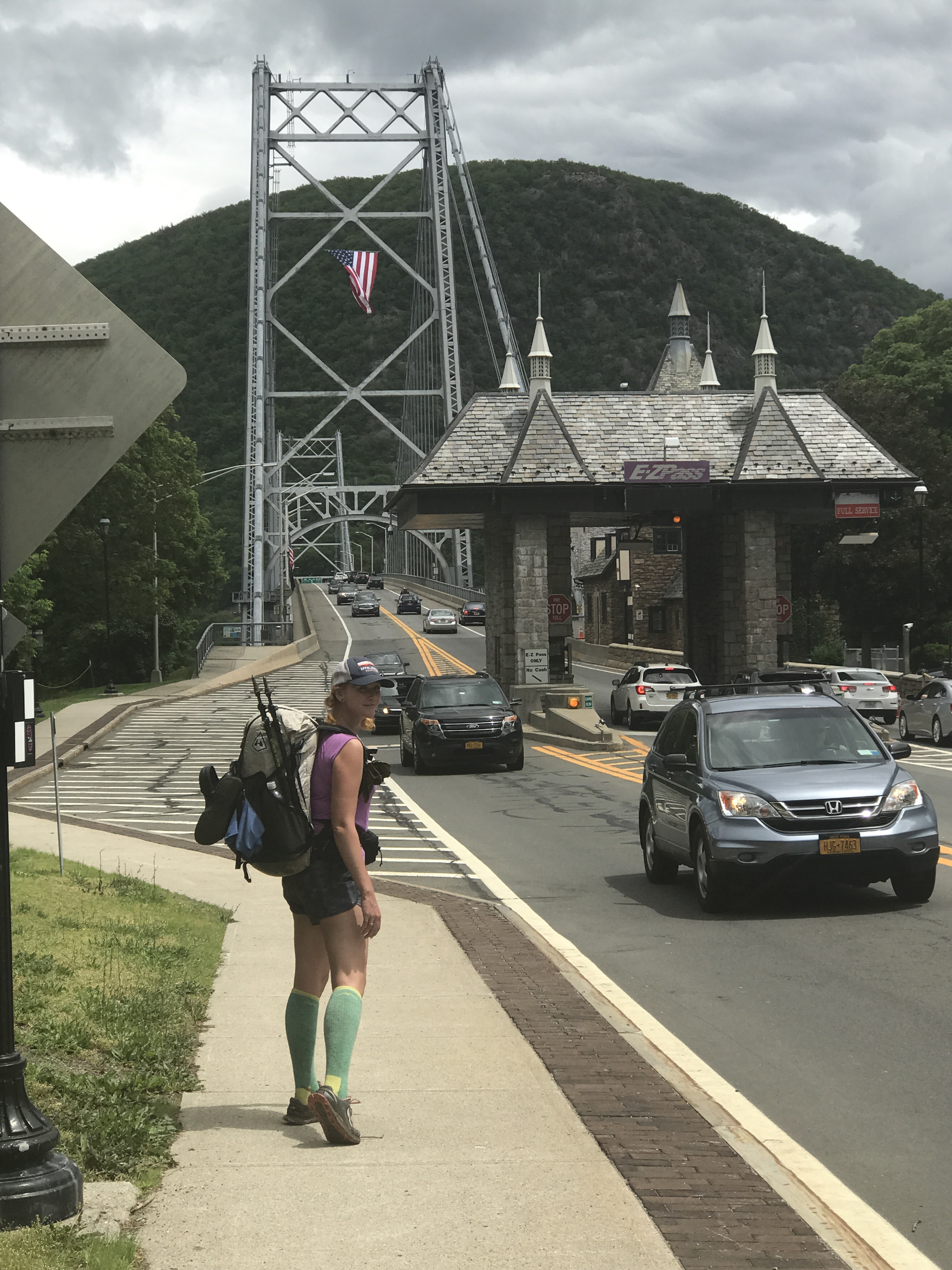
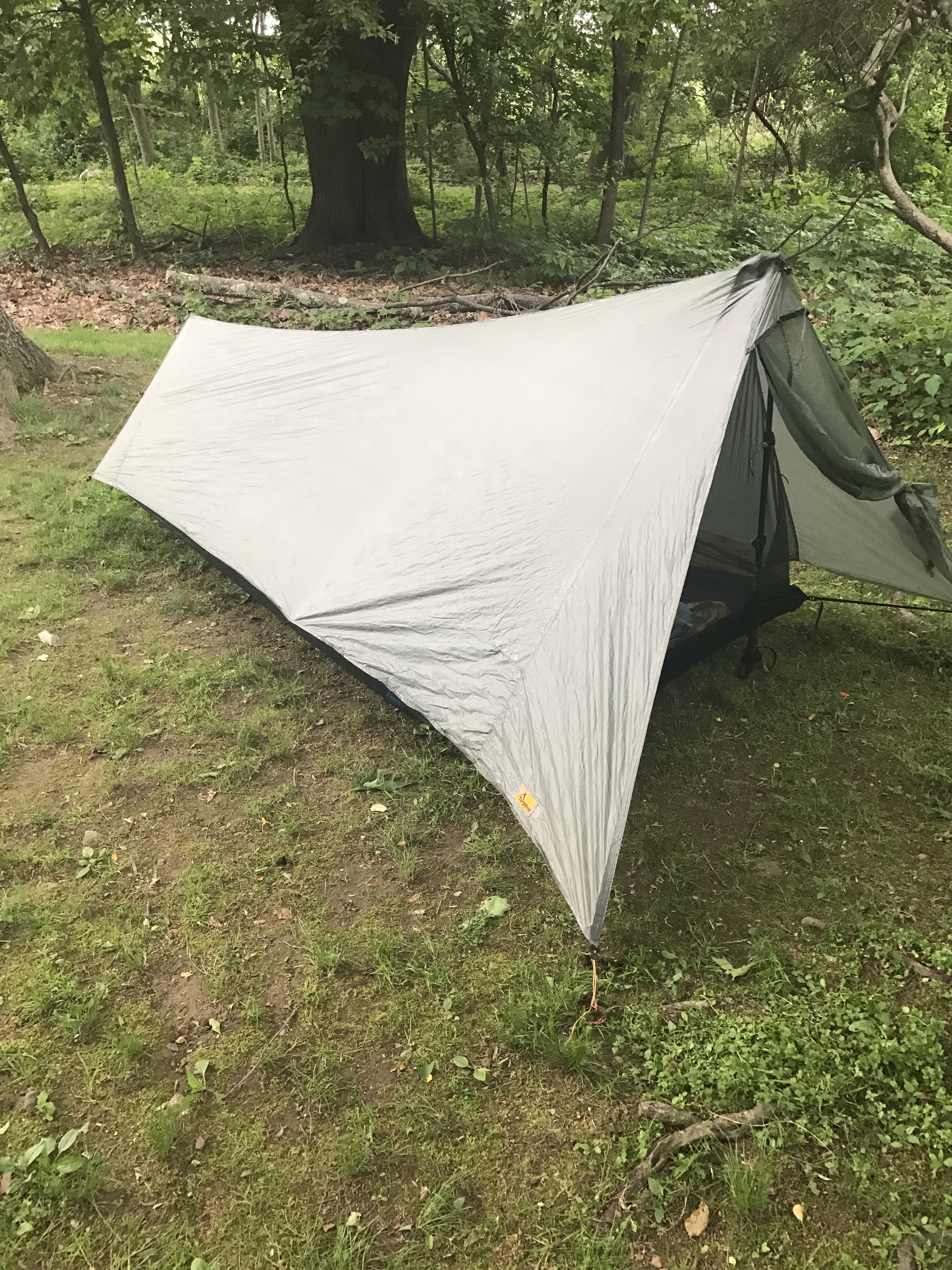
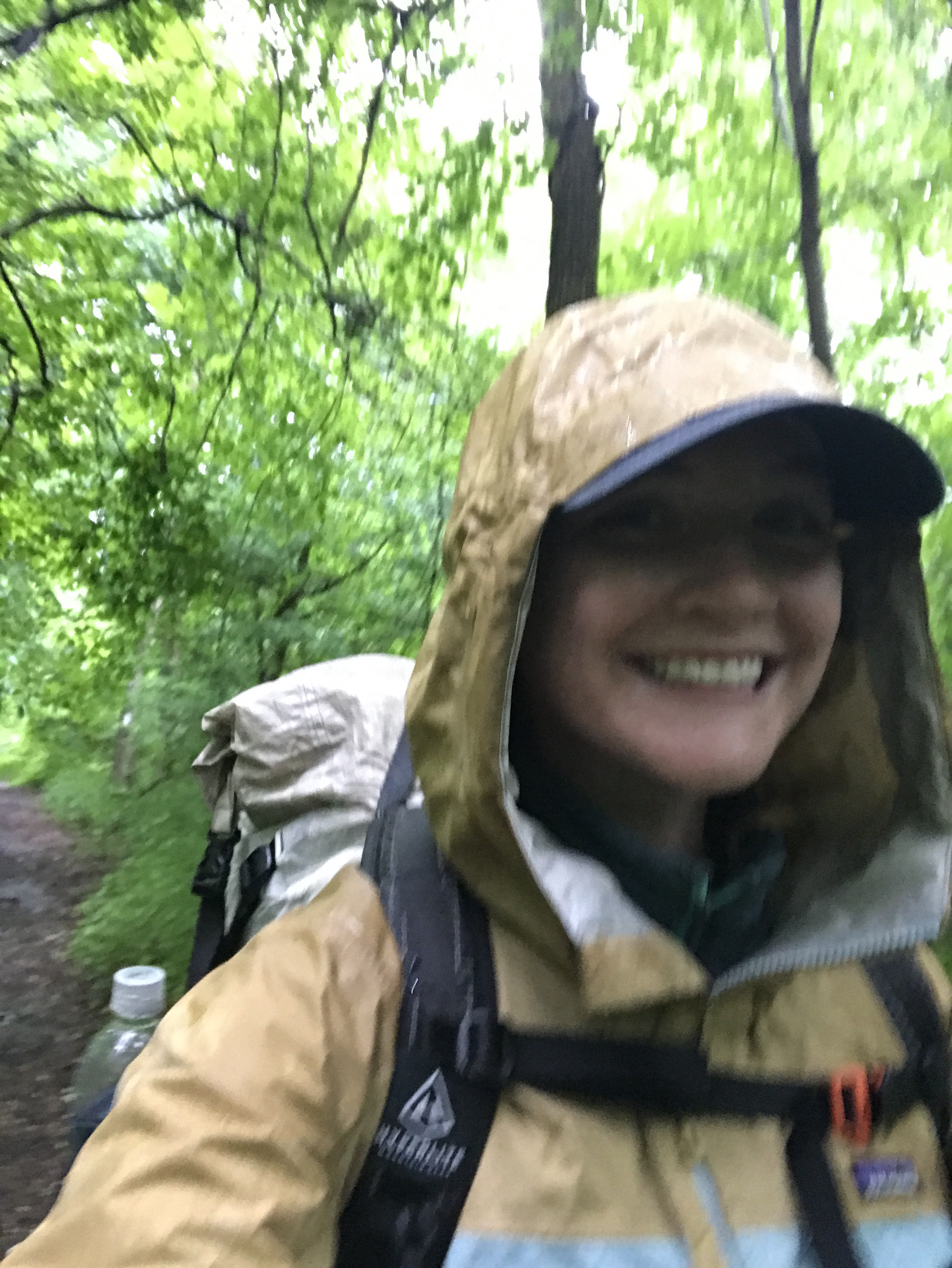
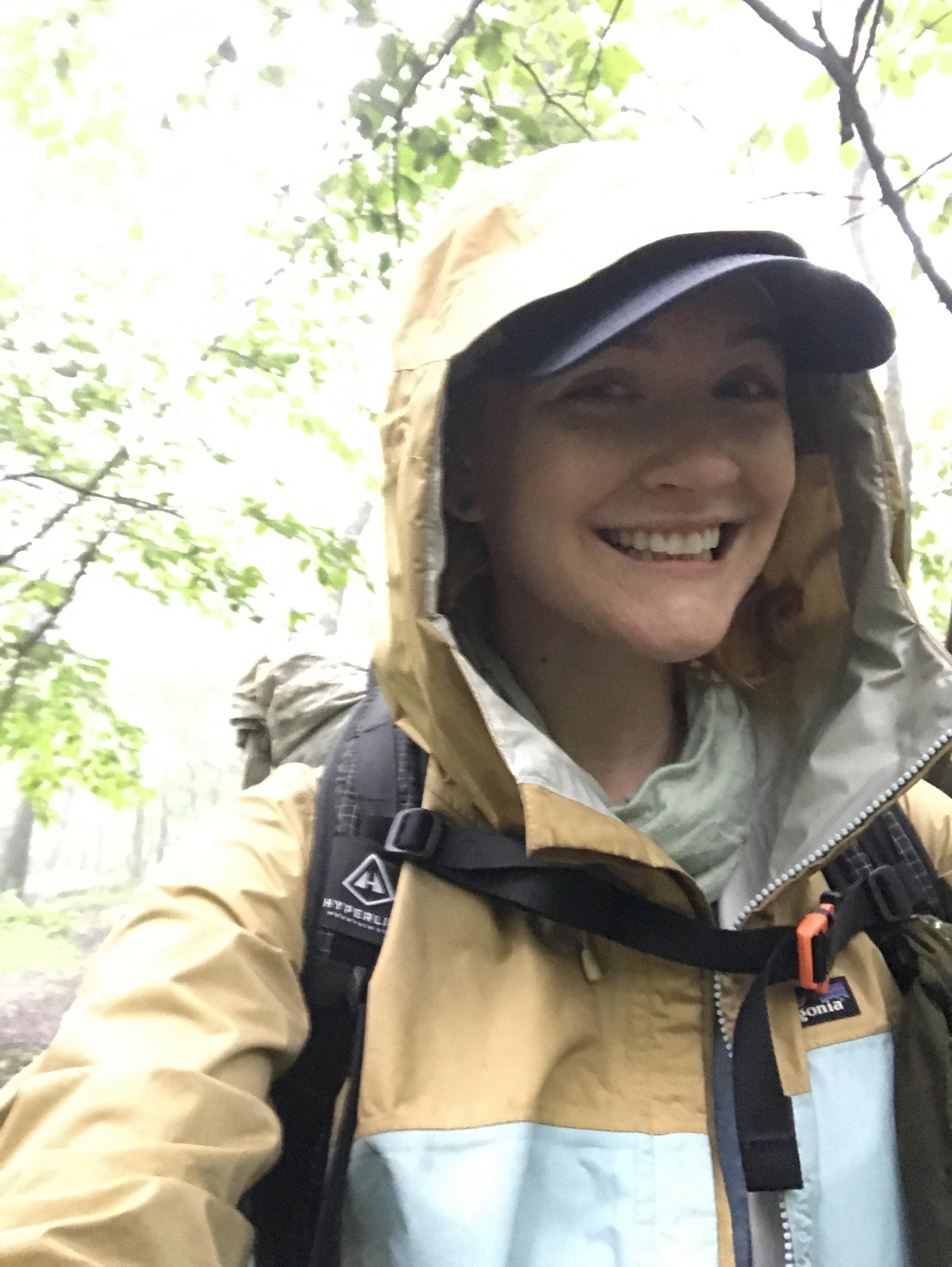
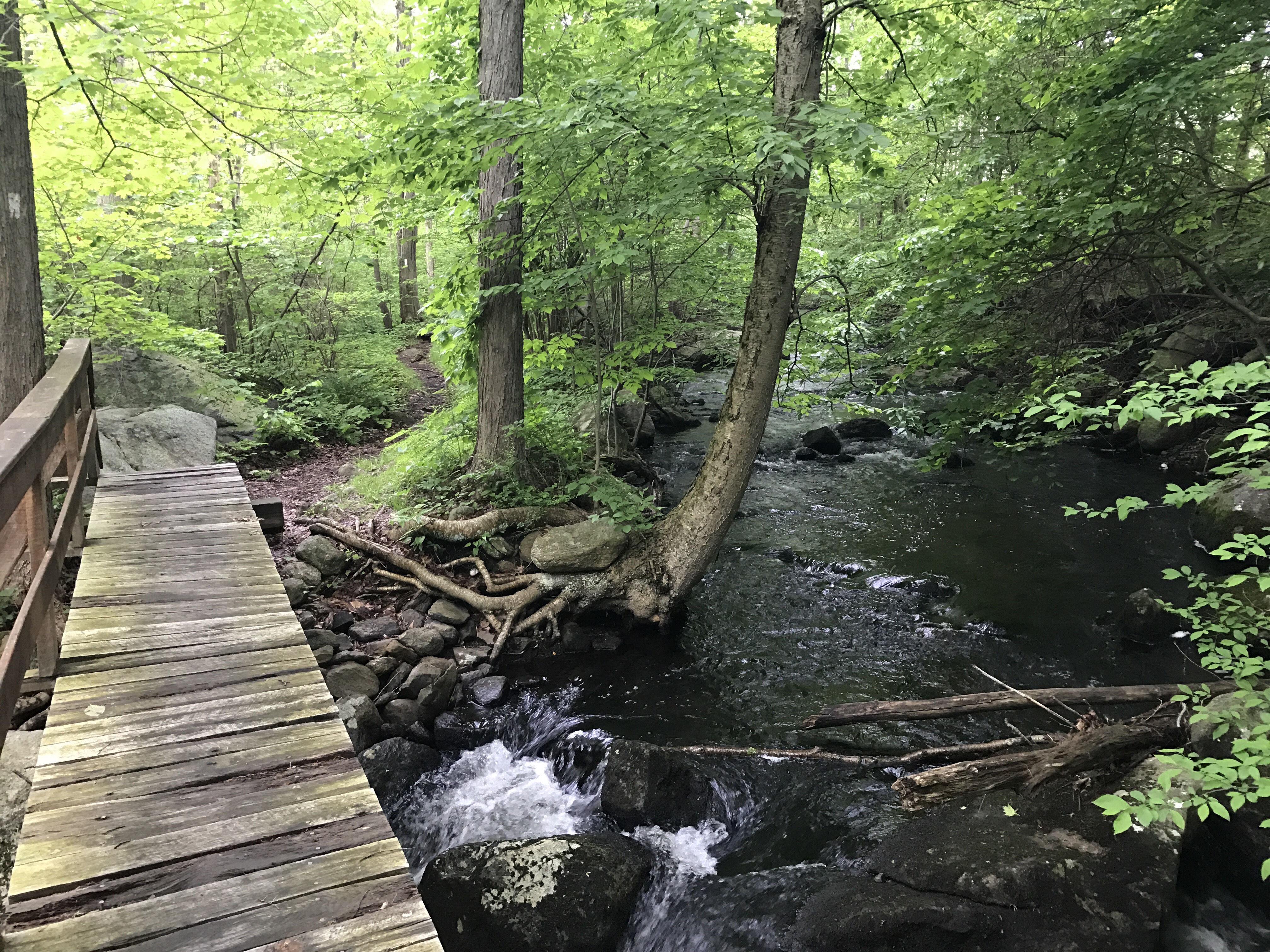
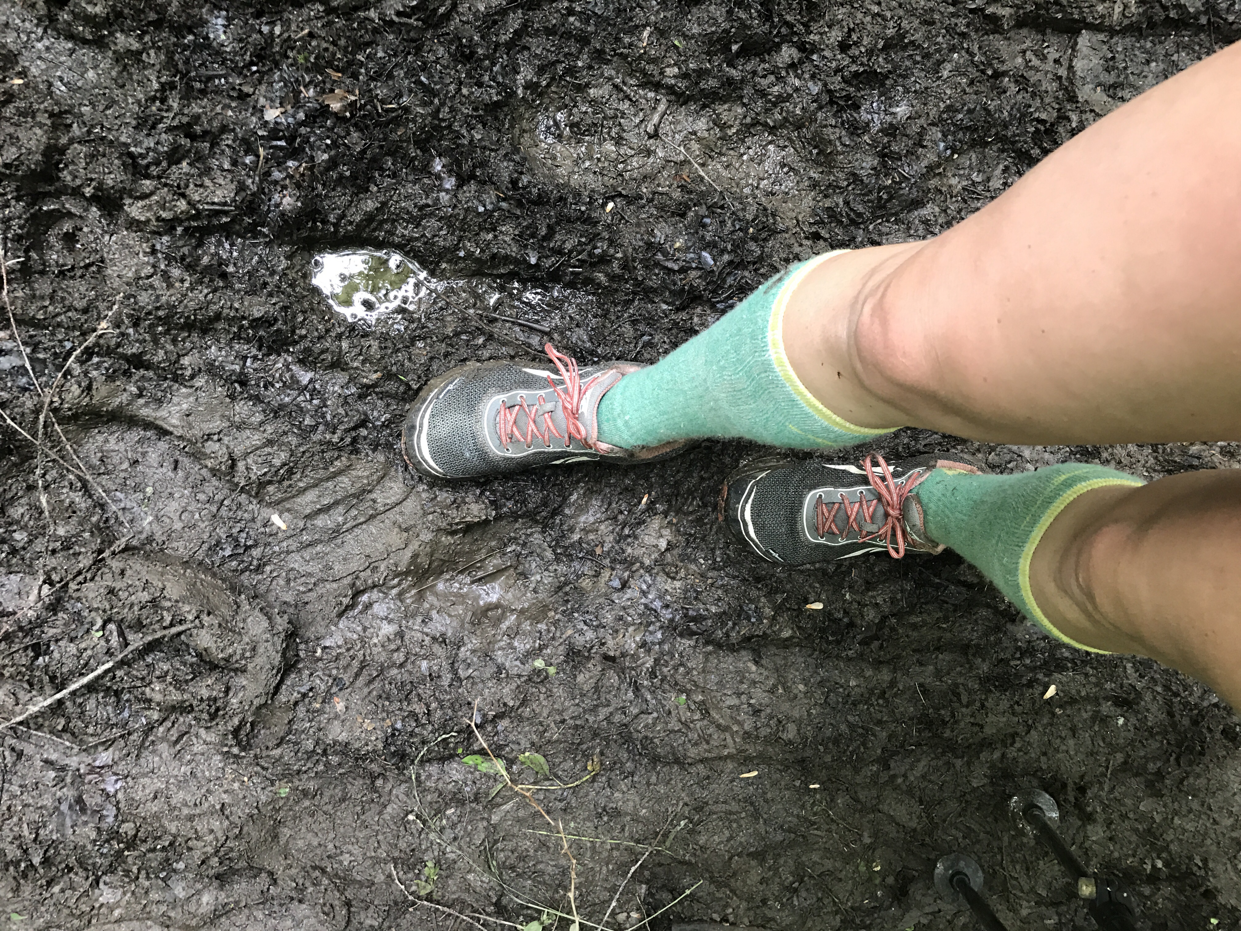
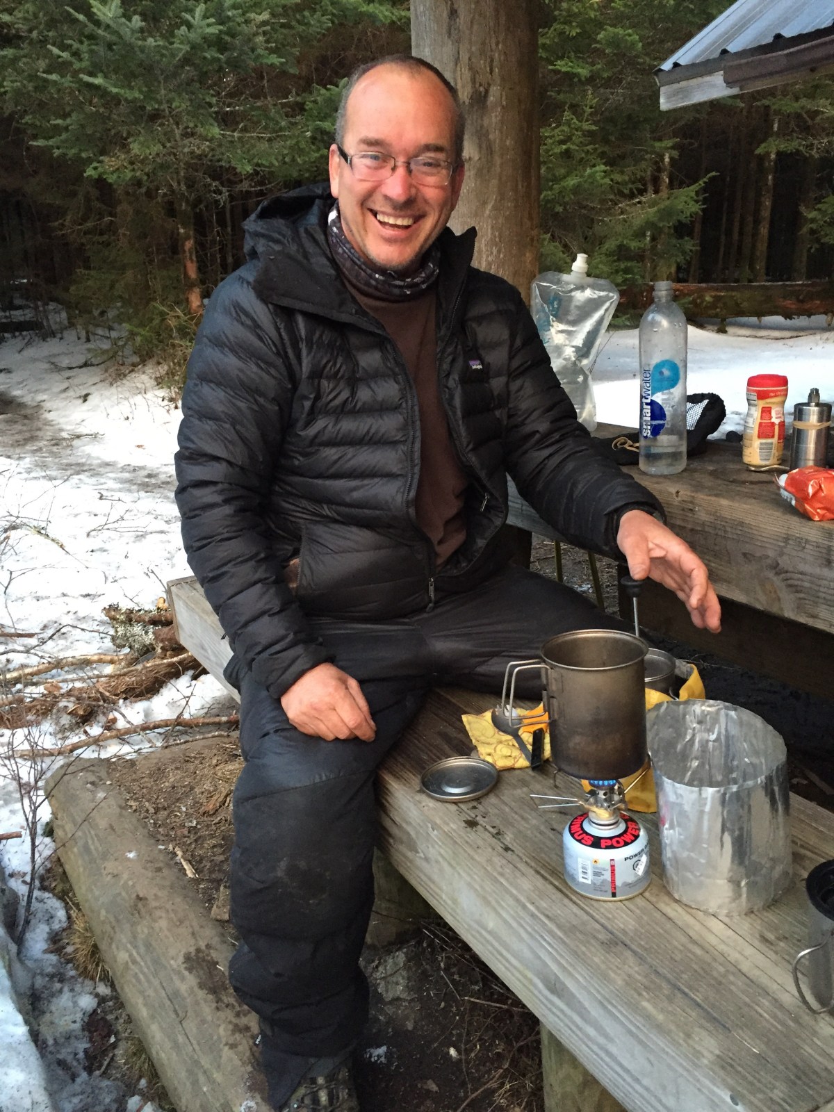
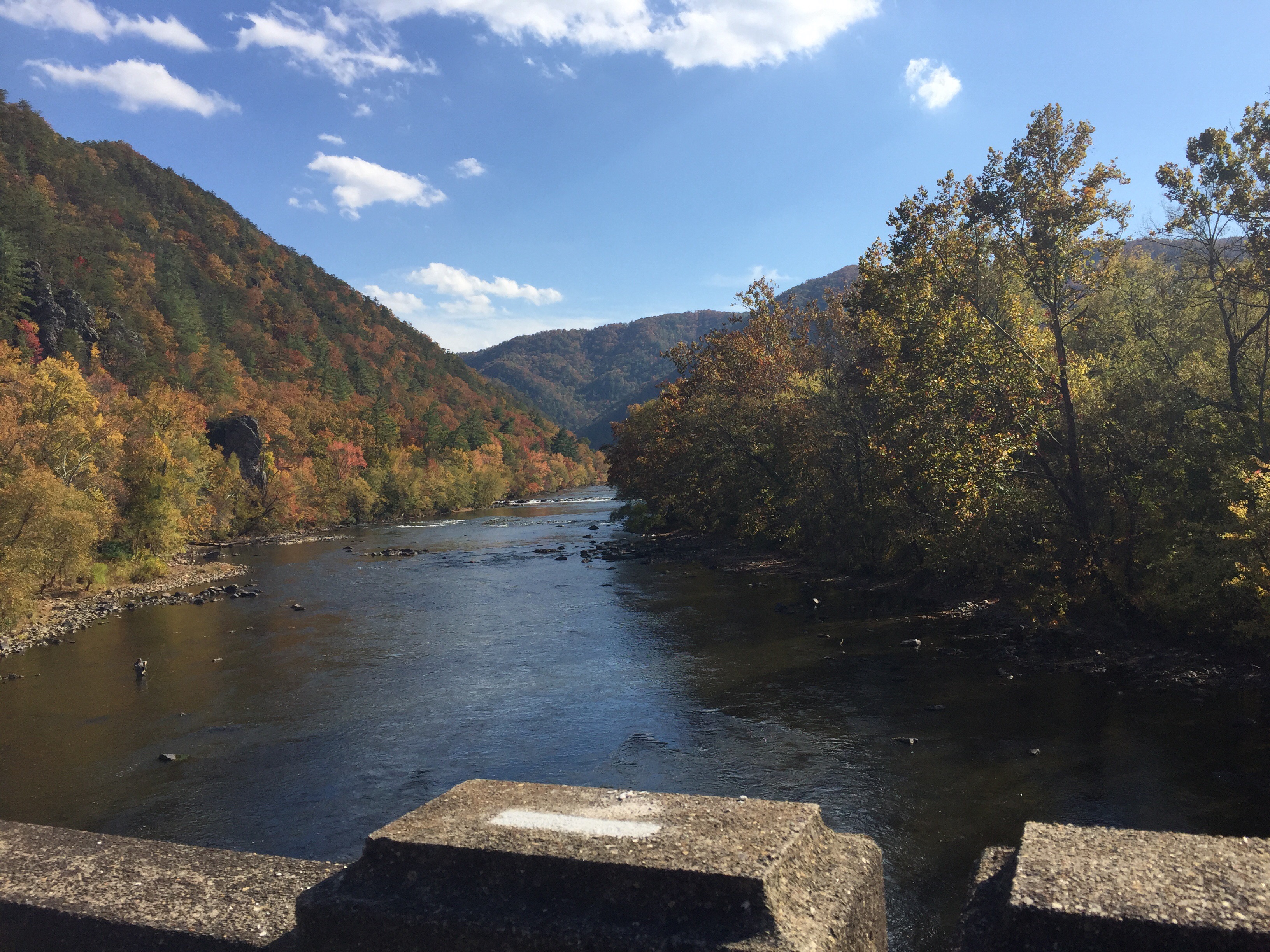
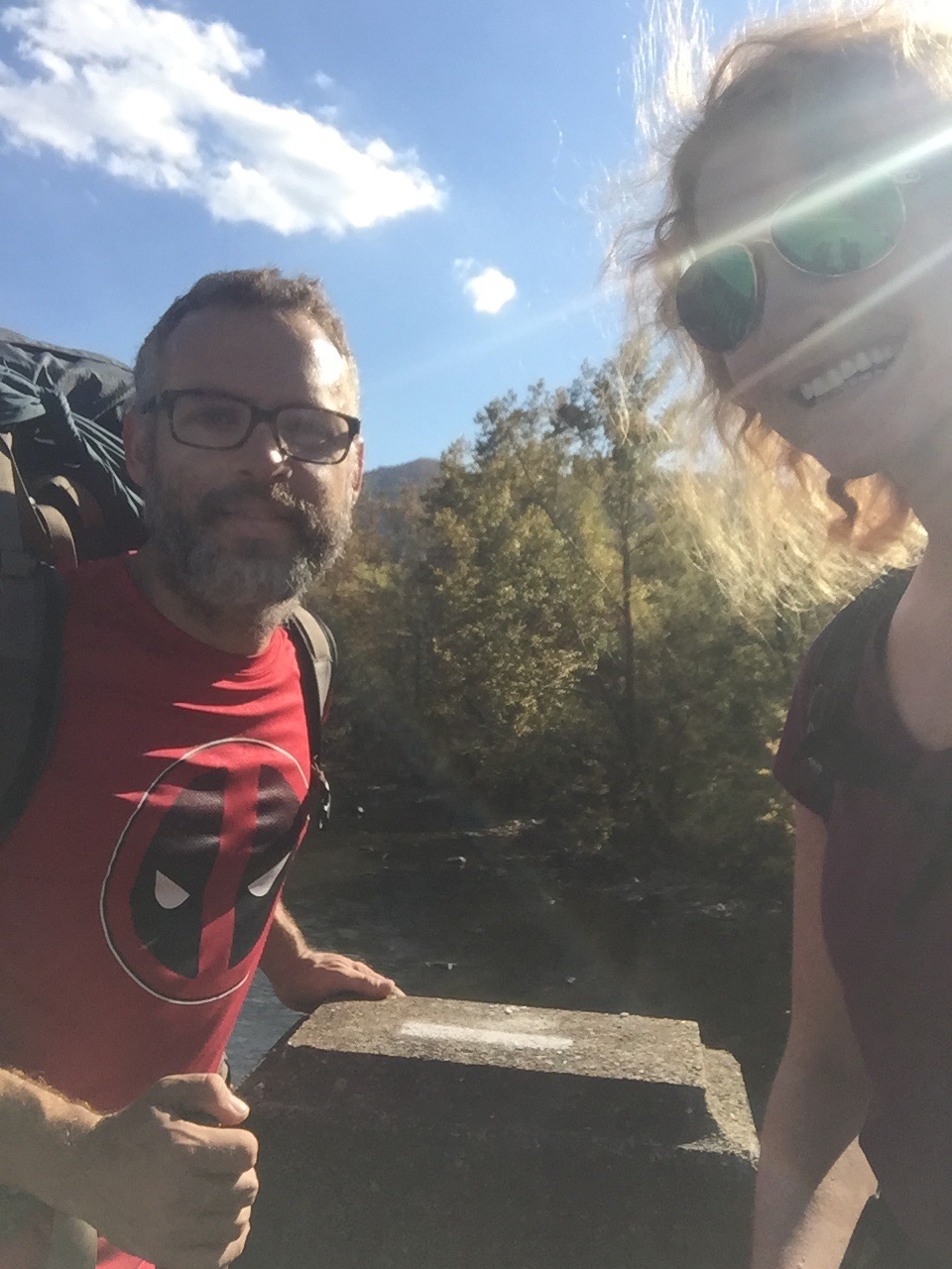
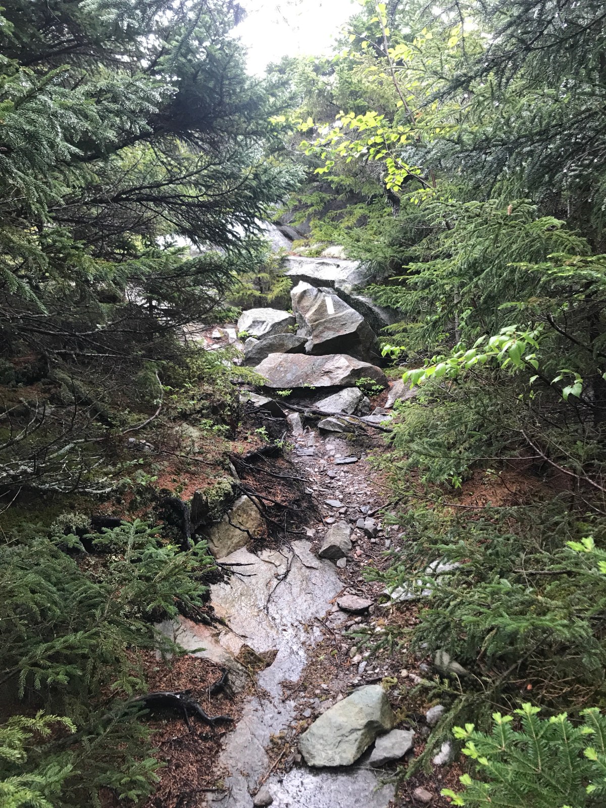
We saw some appallingly large blazes, forded a river (no oxen died), then started the very long climb up Mt Moosilauke. Fortunately we only had to go one mile tonight, because it had started raining and we were ready to get dry.

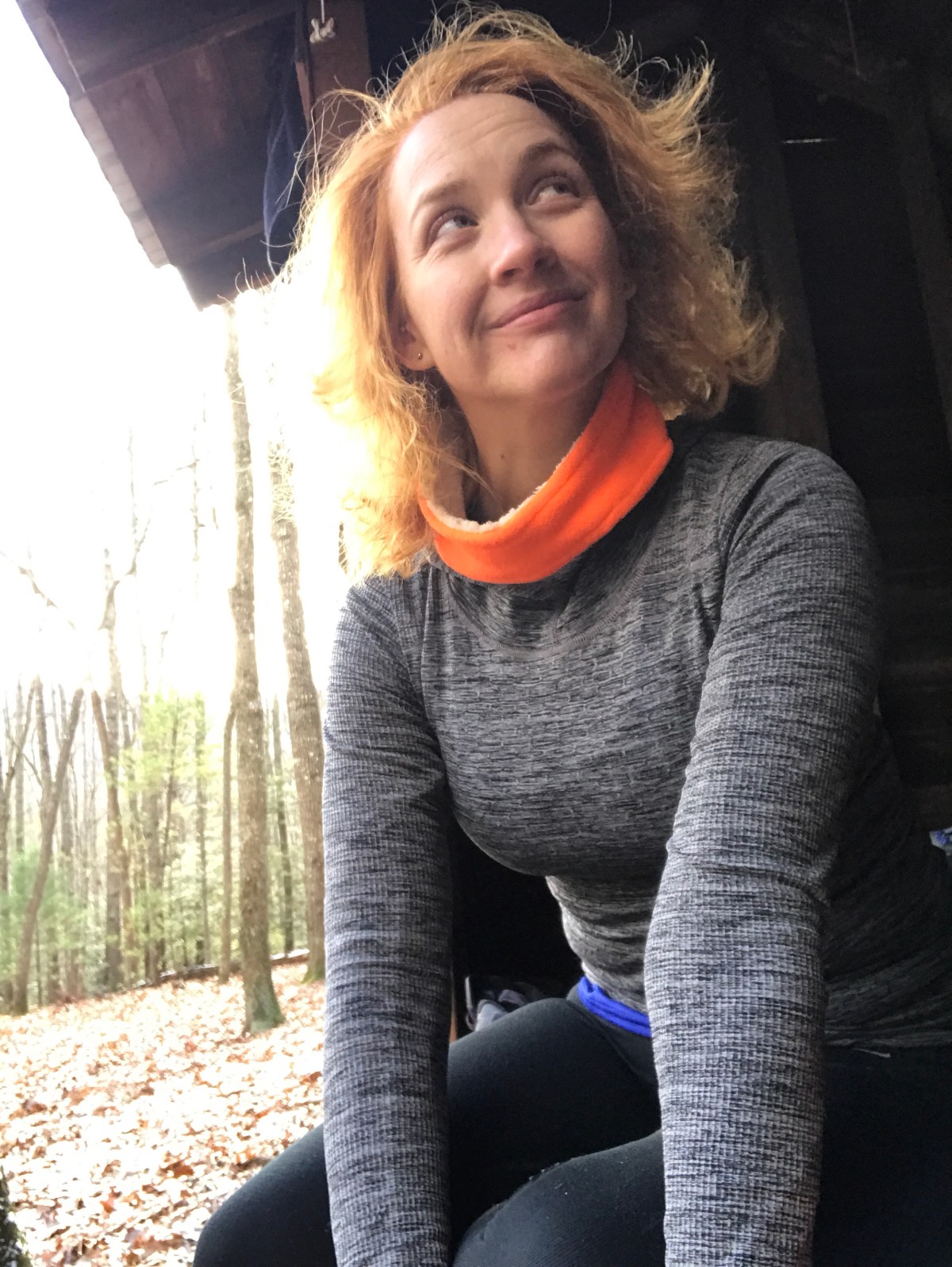
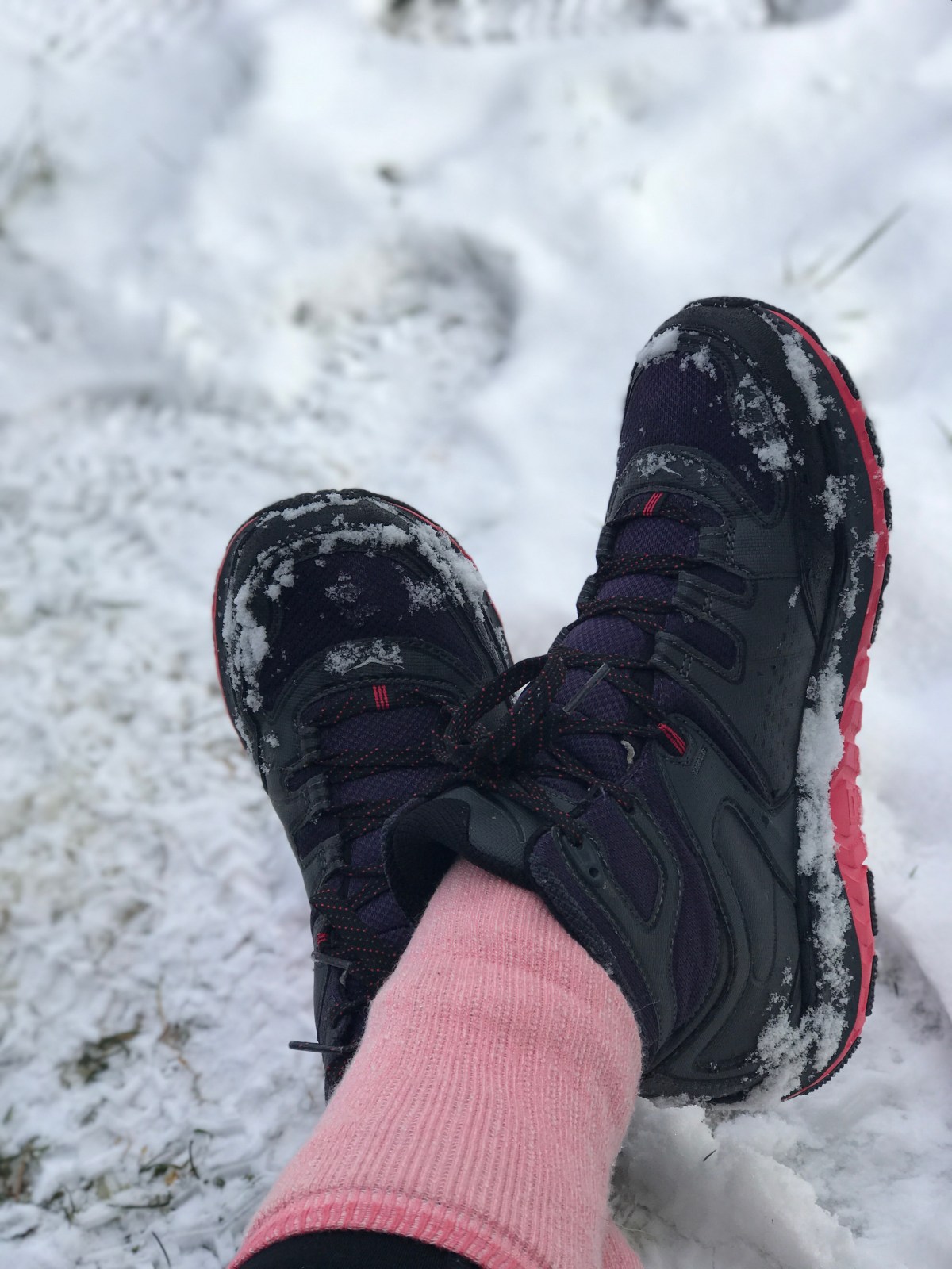
There’s nothing better than putting on warm, dry clothes after a sweaty hike.

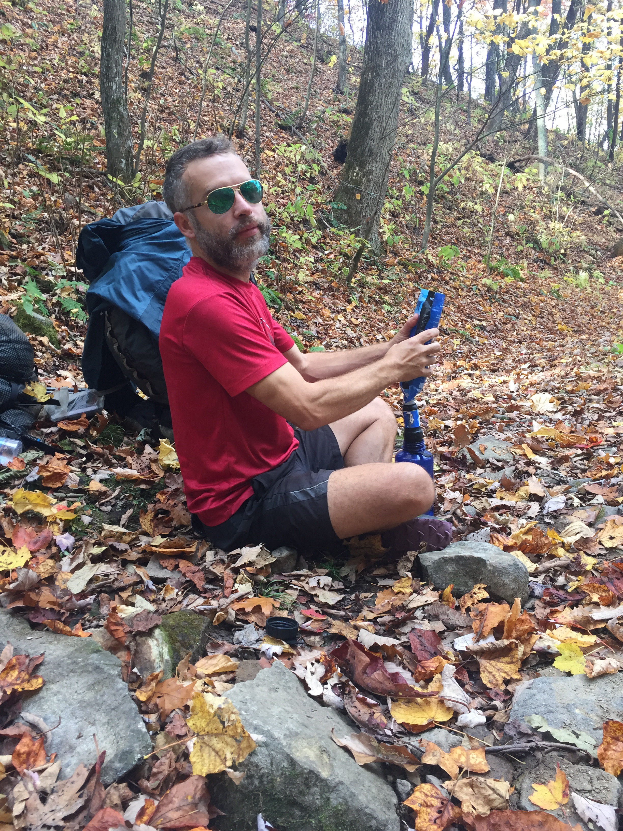
We don’t have all our plans made yet. We have no idea how or when we’re going to Lincoln to resupply, but I guess we’ll figure it out soon.

Miles: 15.7

Trip Total: 44.4

MVP: Mt Cube!!

LVP: mosquitoes 😦

****

5: Jeffers Brook to The Notch

Sometimes things just seem to happen so quickly.

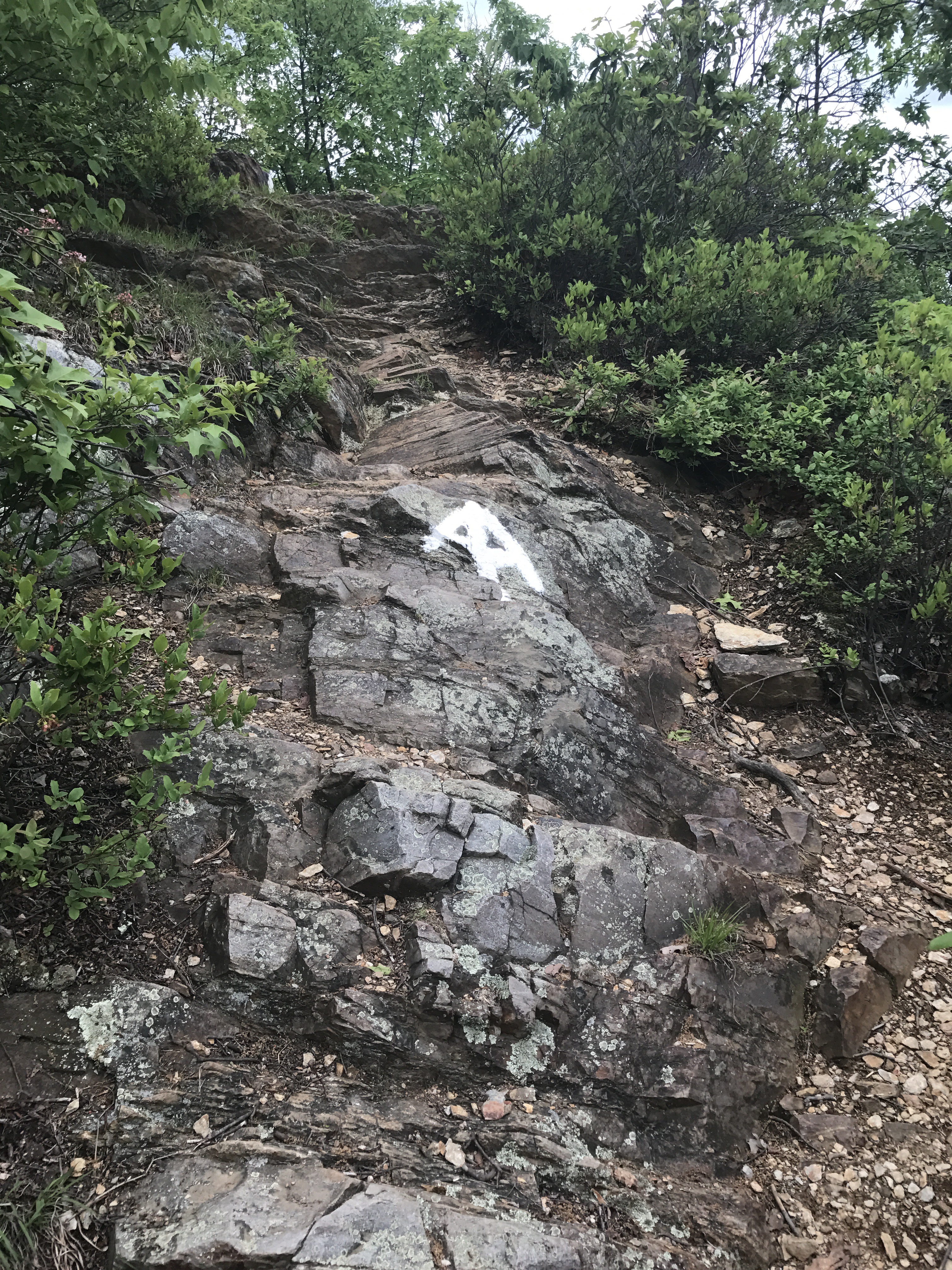
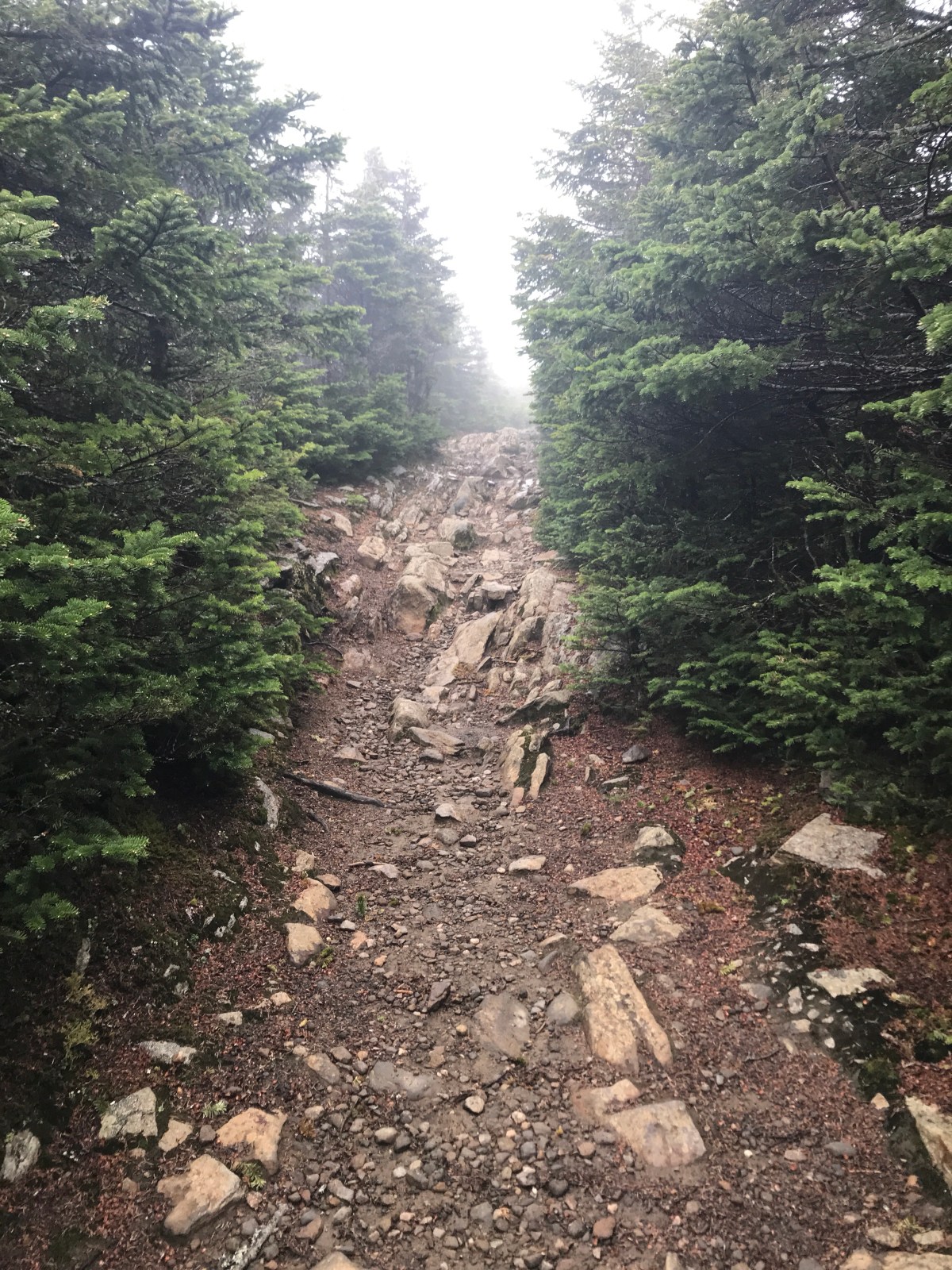
Climbing Moosilauke didn’t happen quickly. It was 4 slow, grinding miles up.

And I mean slow. I learned about most of Josephine Baker’s life in that time.

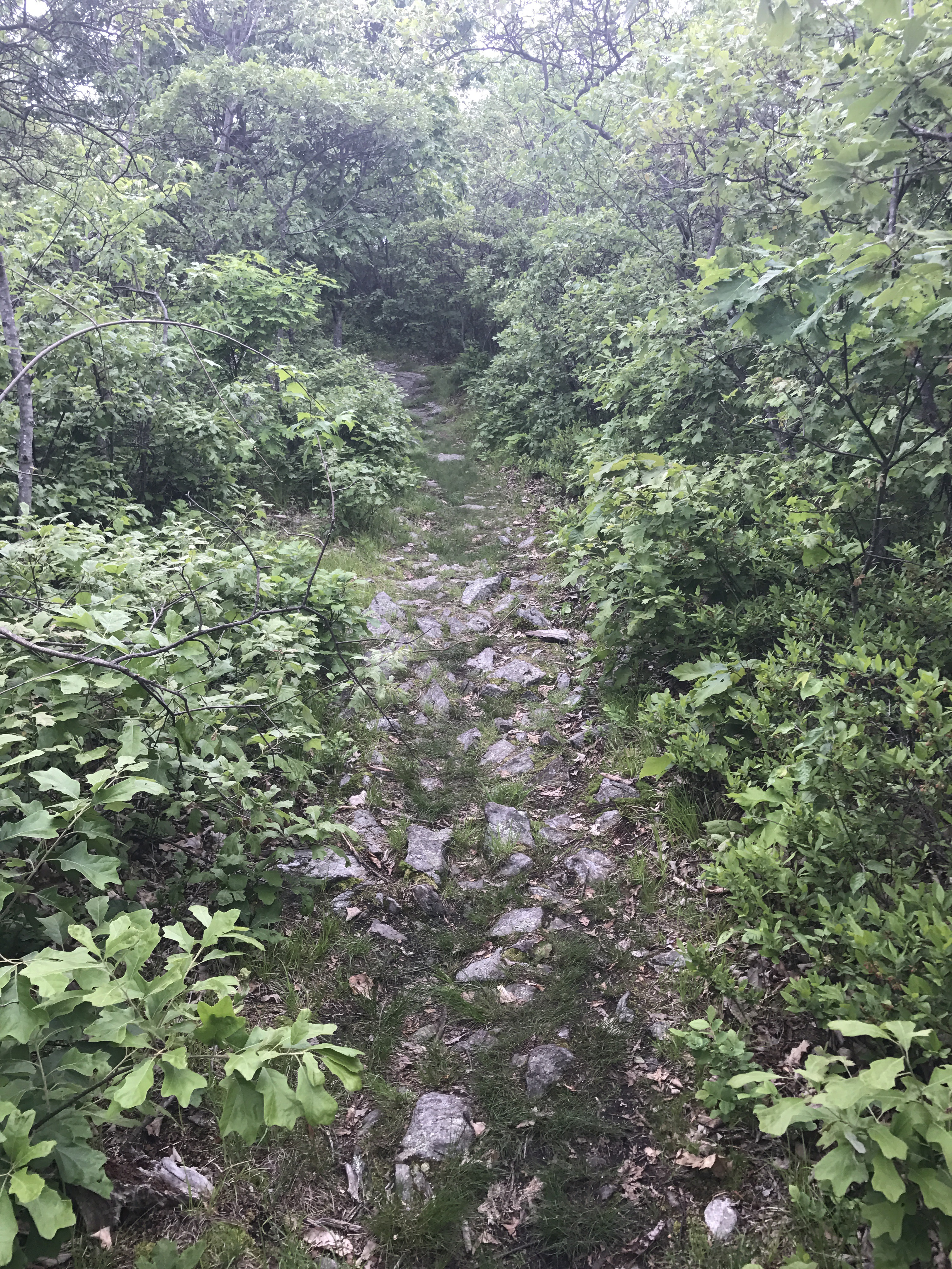
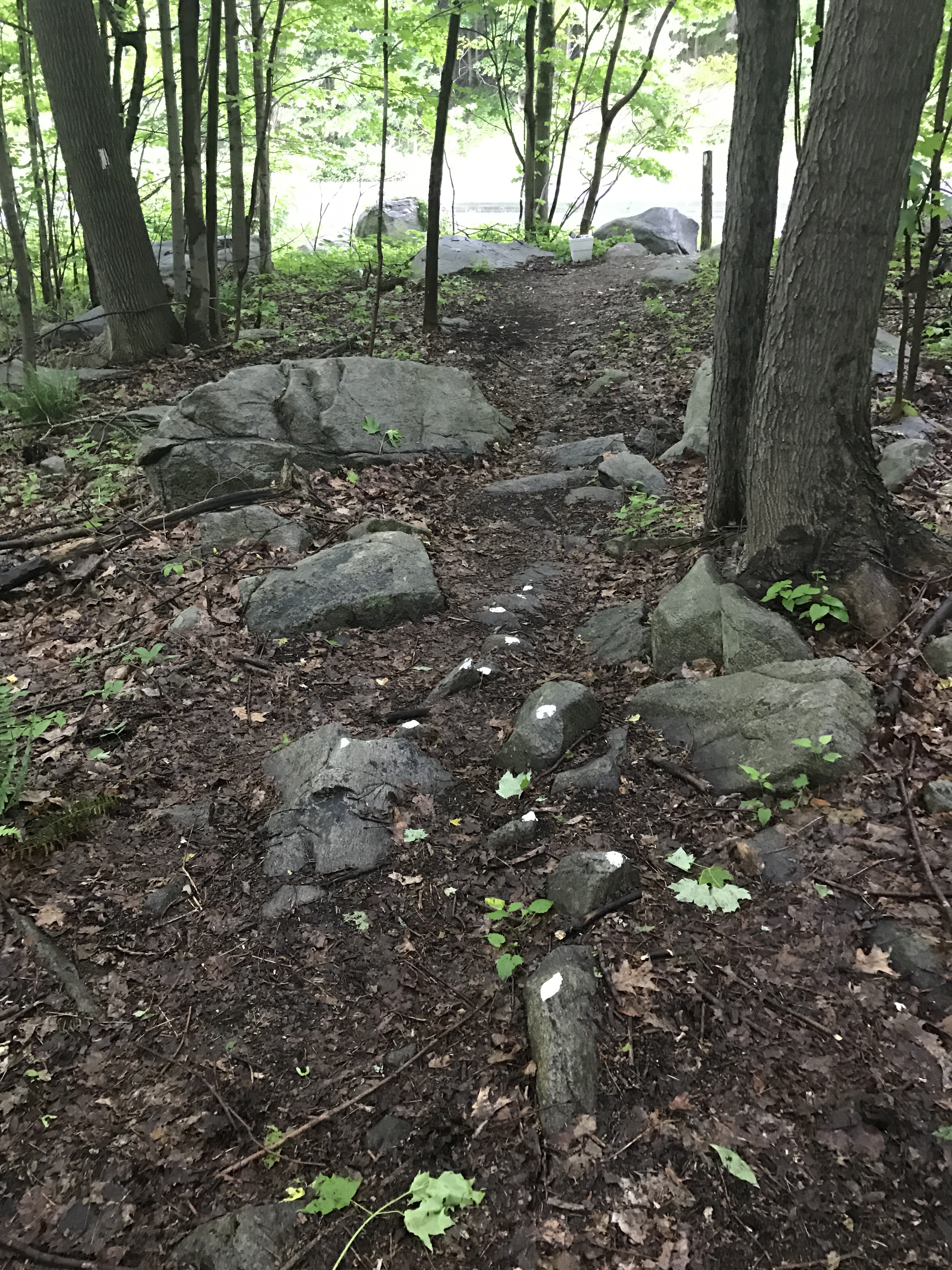
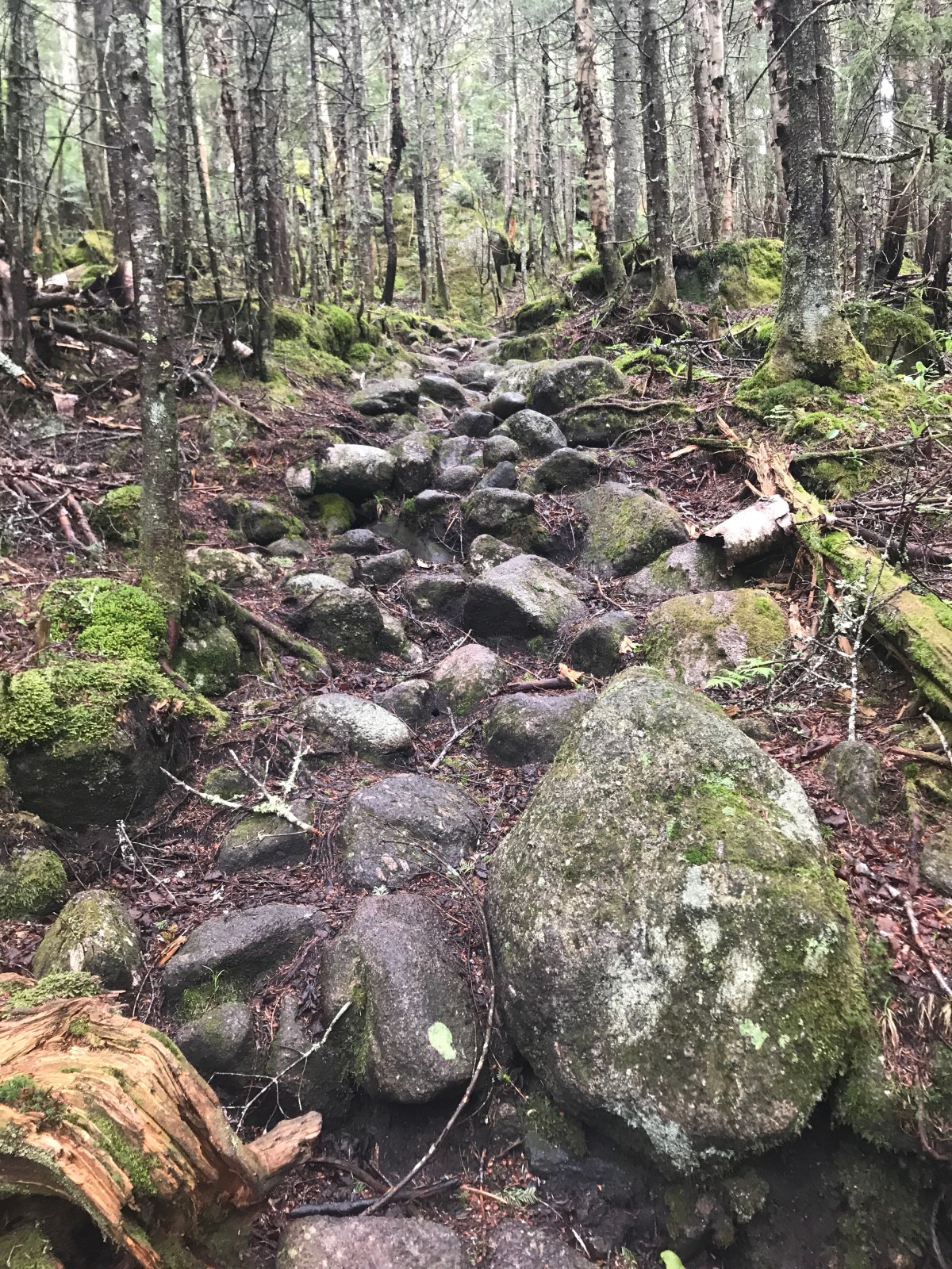
But eventually the trail flattened out, and the big boulders changed into smaller gravel.

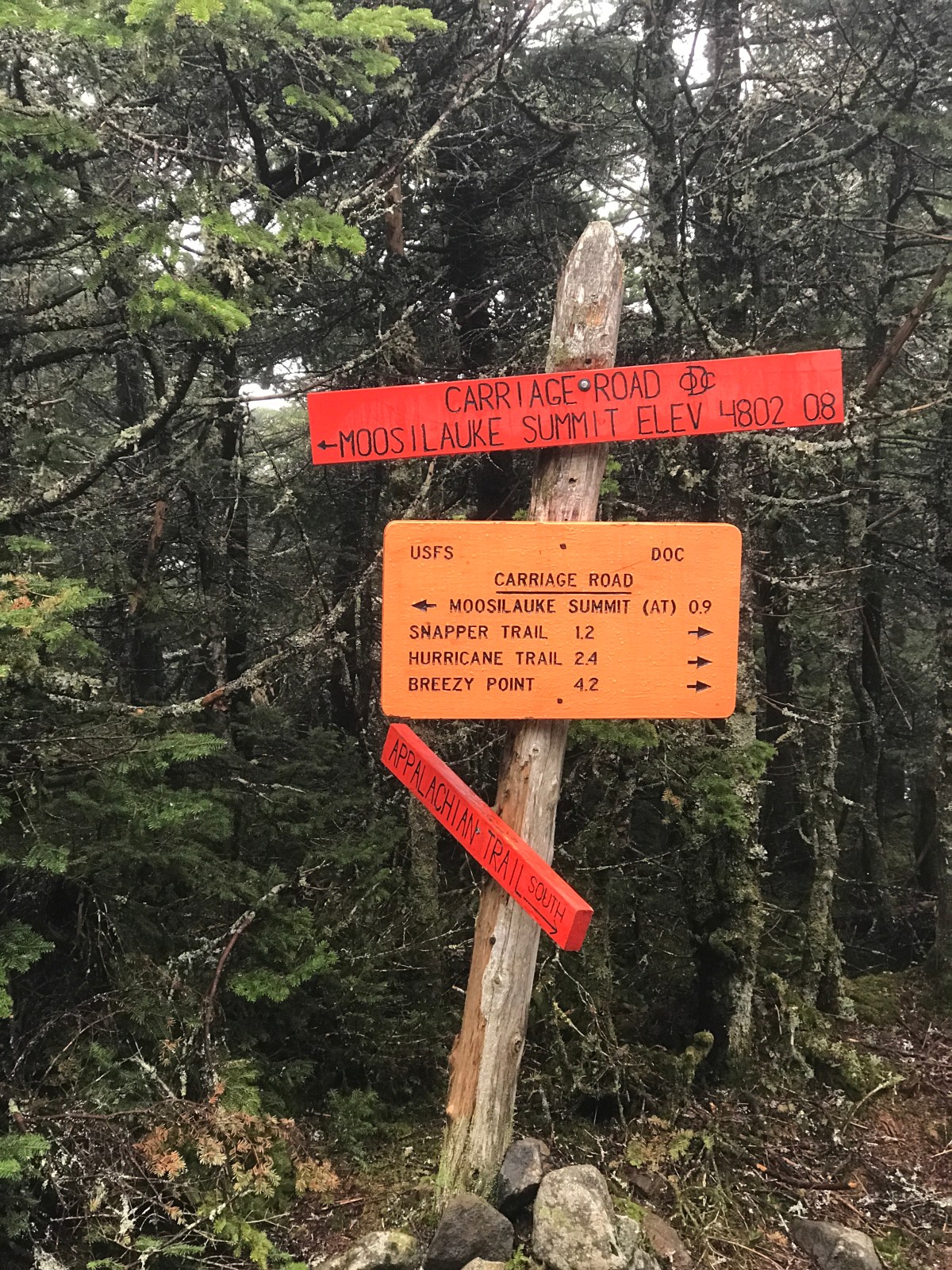
And eventually we made it up. That’s what I kept telling myself, “eventually I have to make it to the top.”

We couldn’t see much. It was very cold and very windy, so we started down.

Now, most people prefer to hike Moosilauke southbound. We went northbound. And the reason they prefer to go south is that it means you climb UP the super scary steep part, which is easier than going down it.

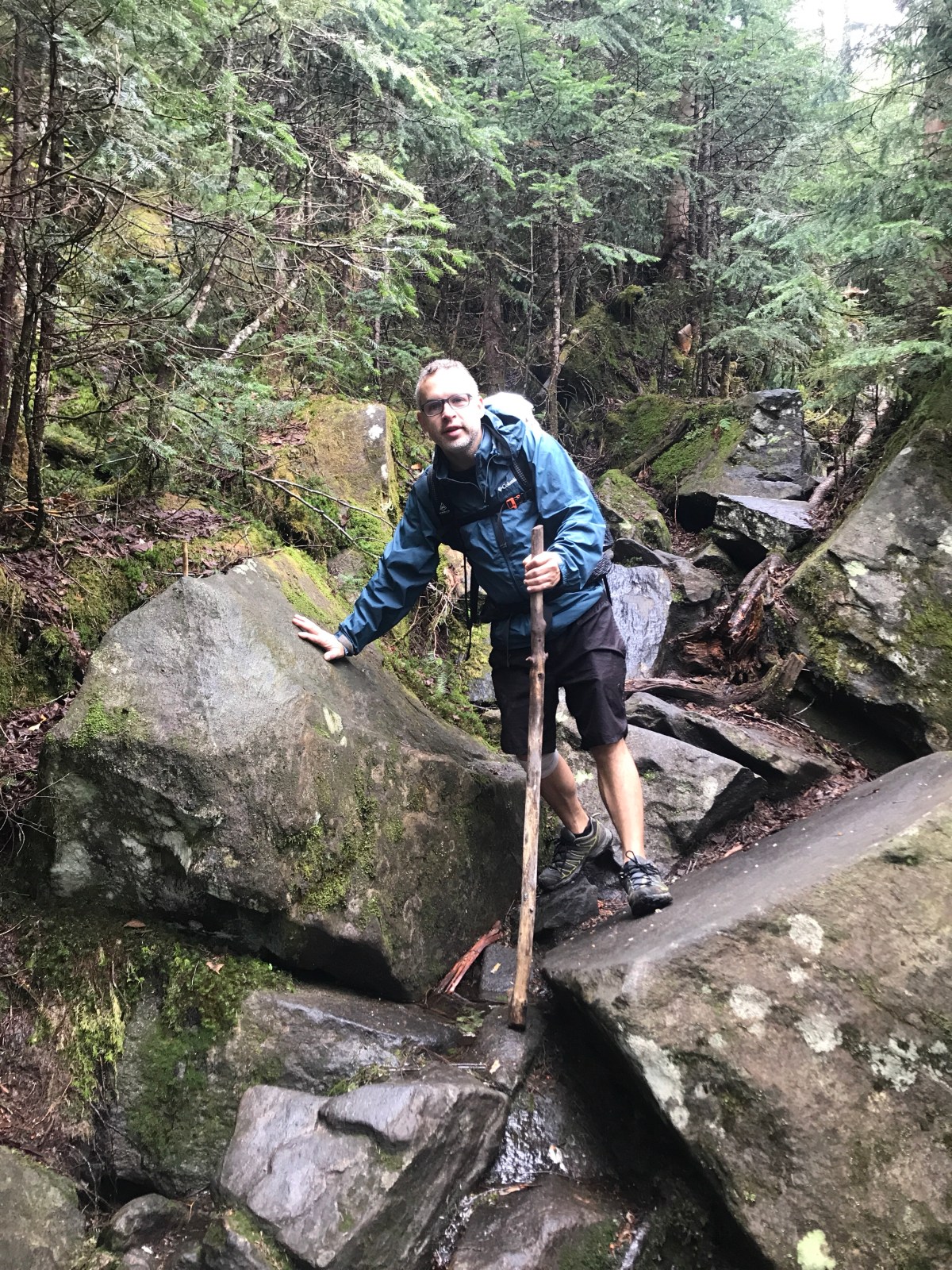
Of course, we went down it.

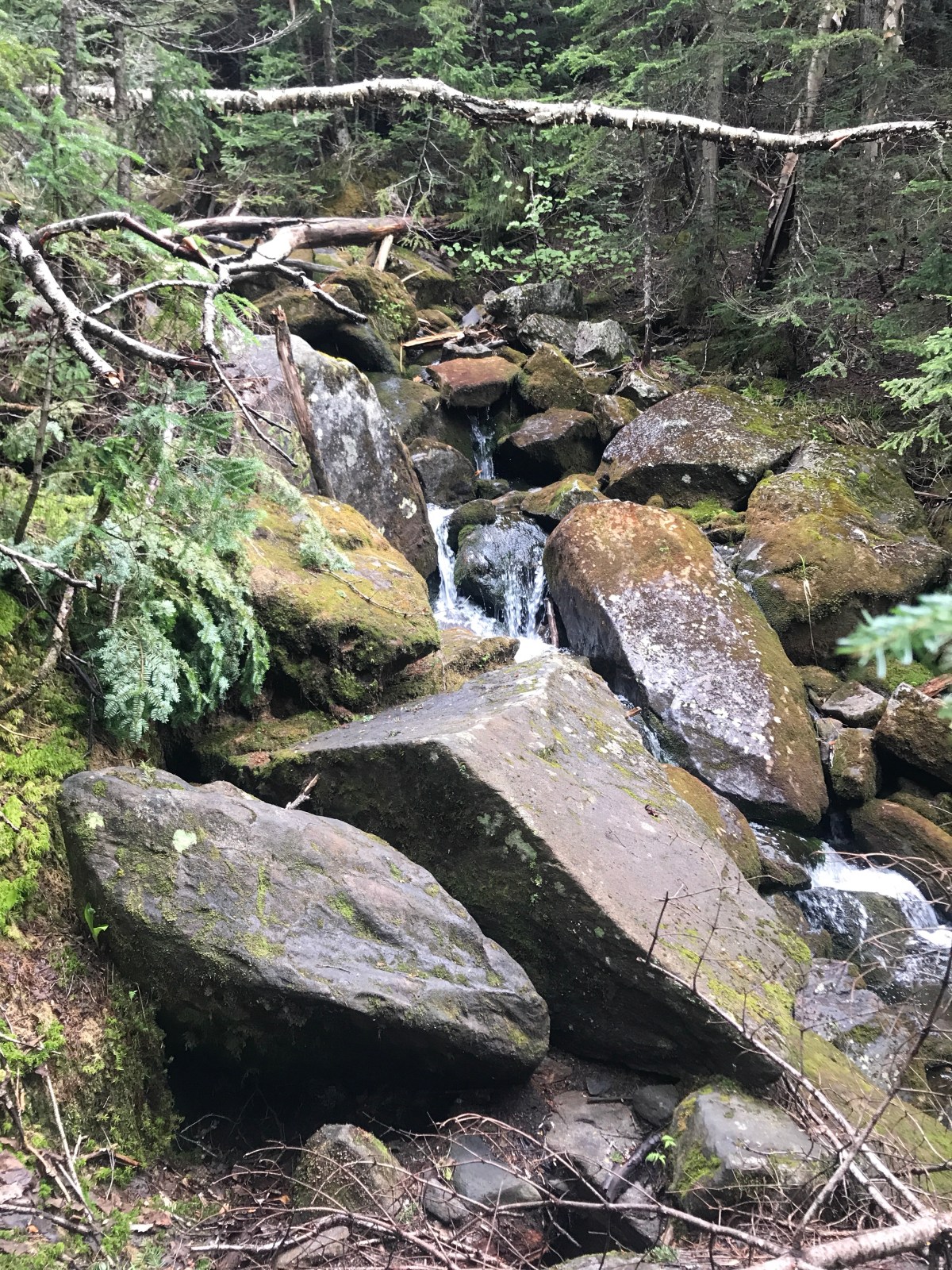
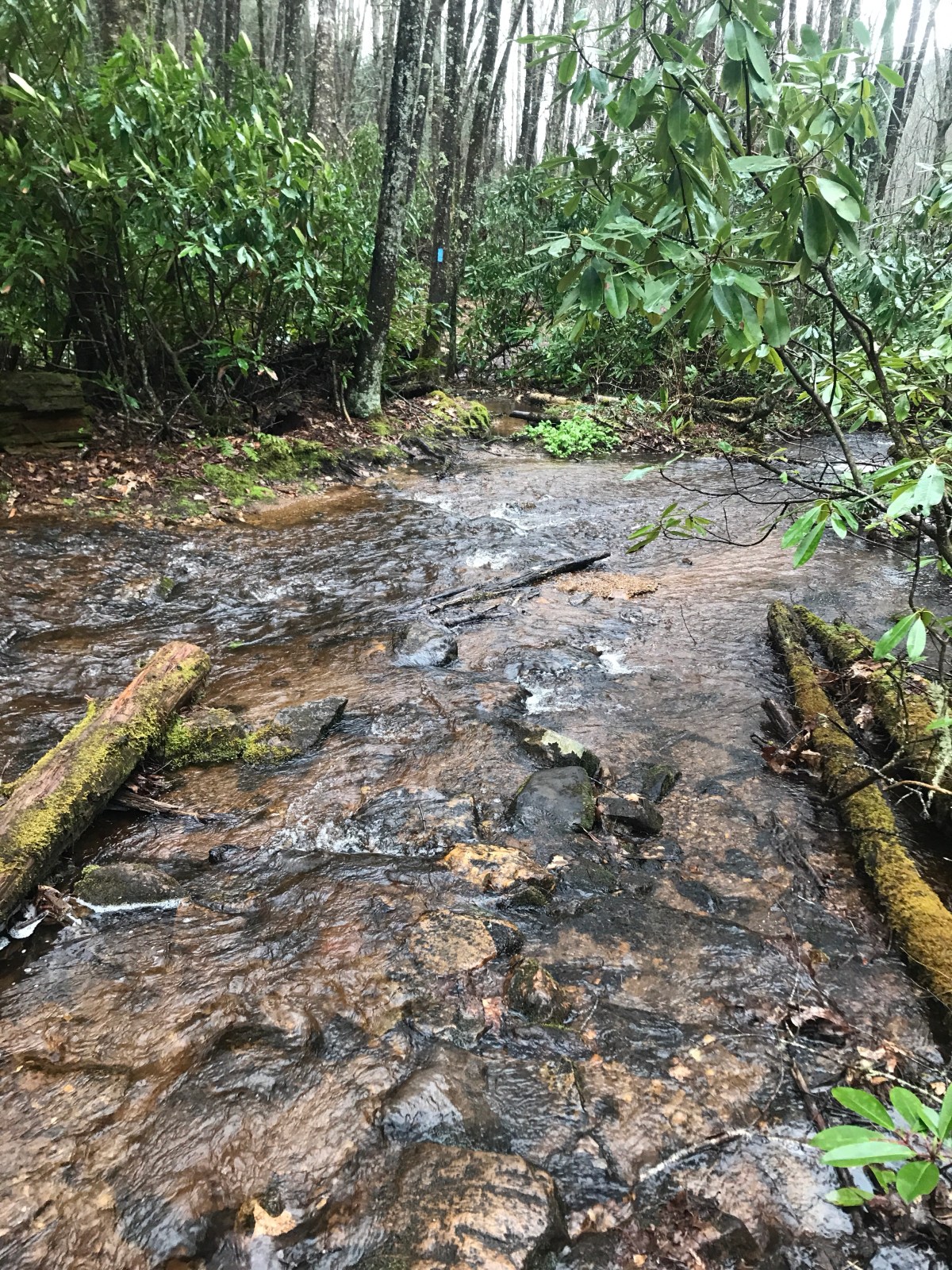
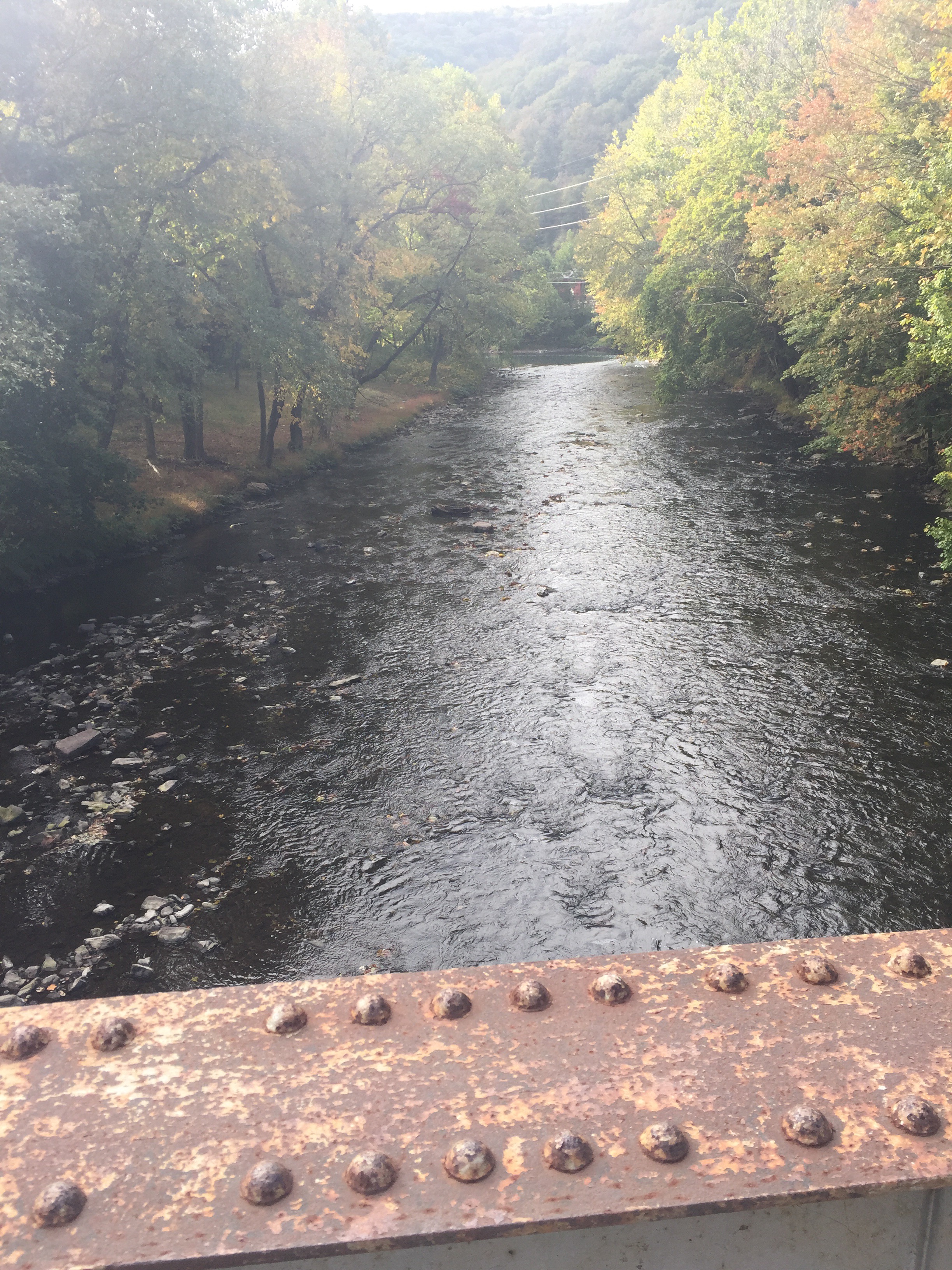
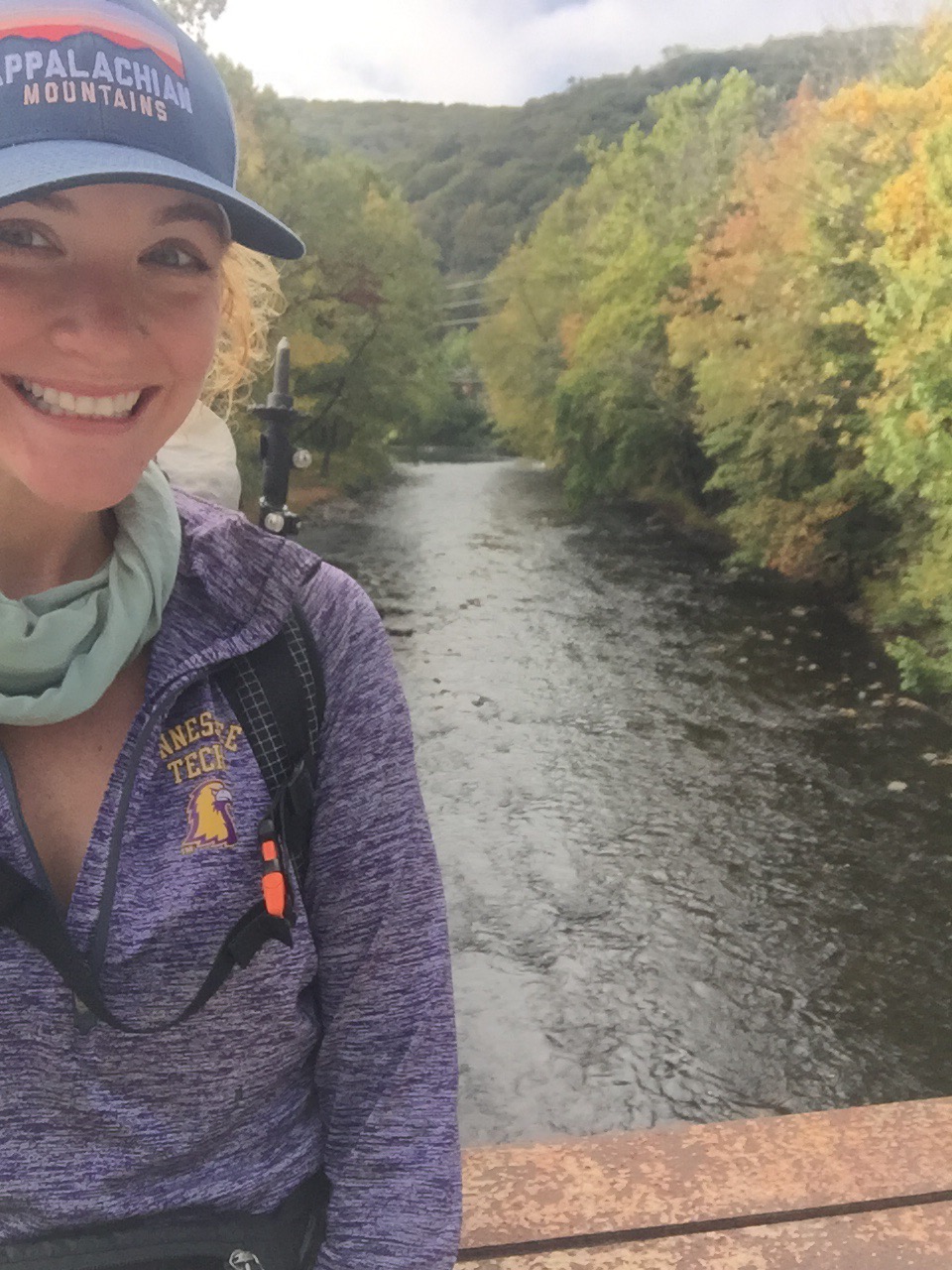
We even got the pleasure of trying to figure out how to leap across this washed out section. It just went straight down to a roaring waterfall, if you’re wondering what’s so bad about a washed out section of trail.

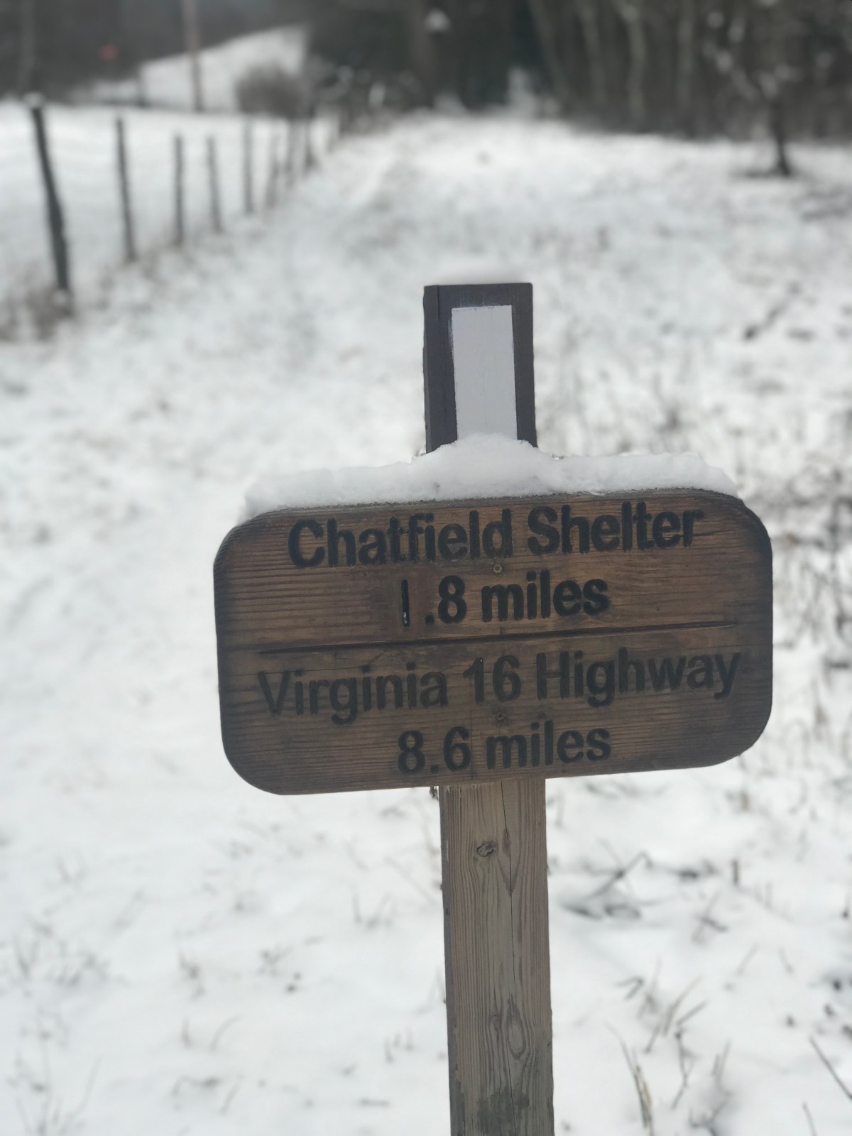
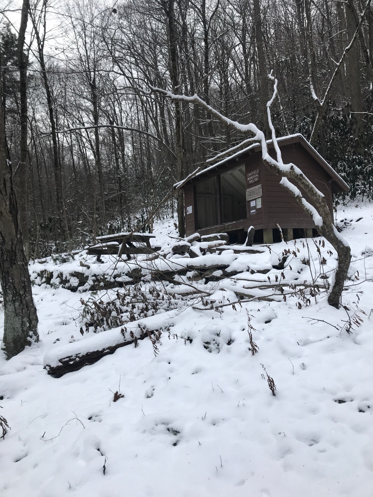
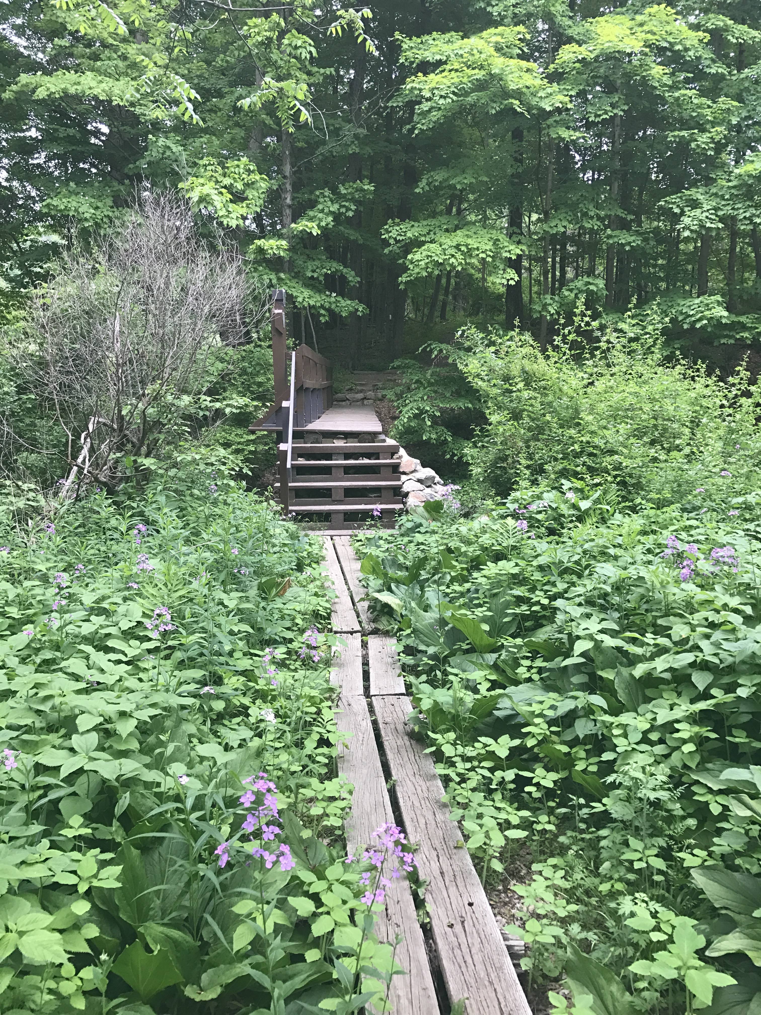
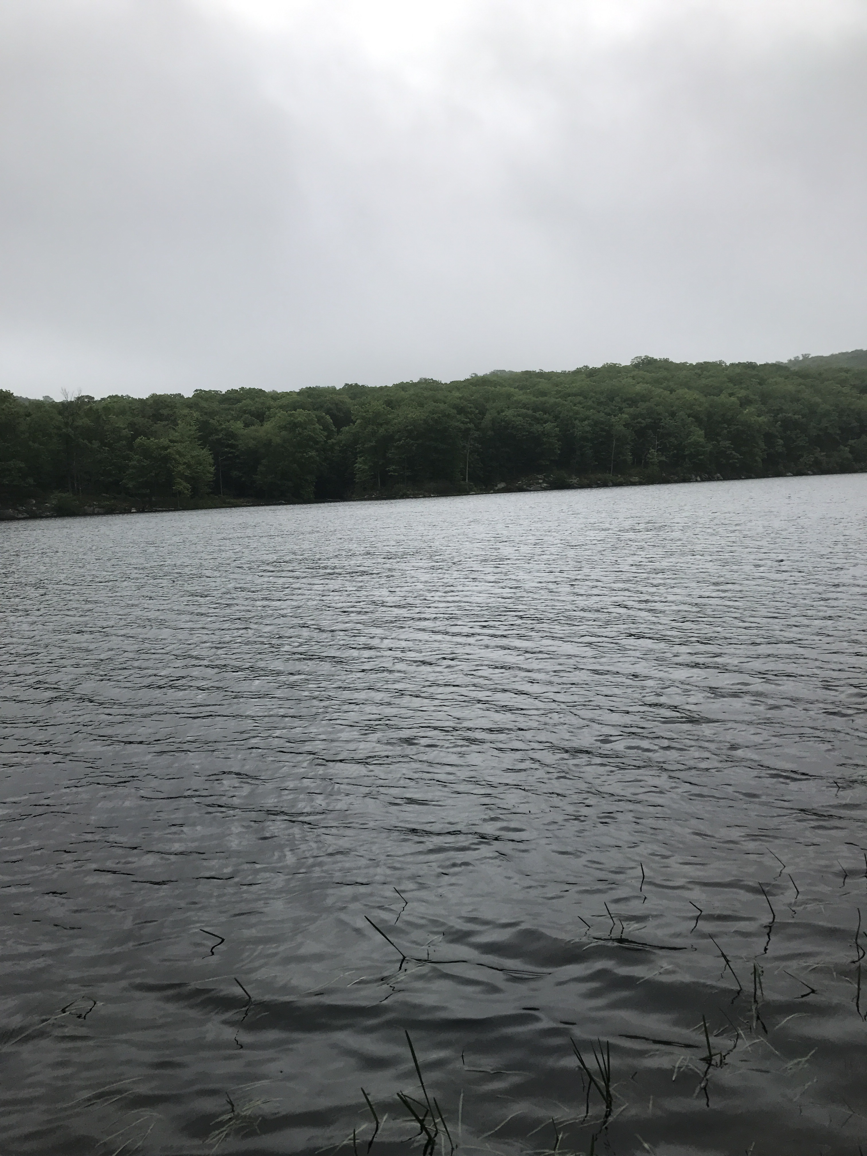
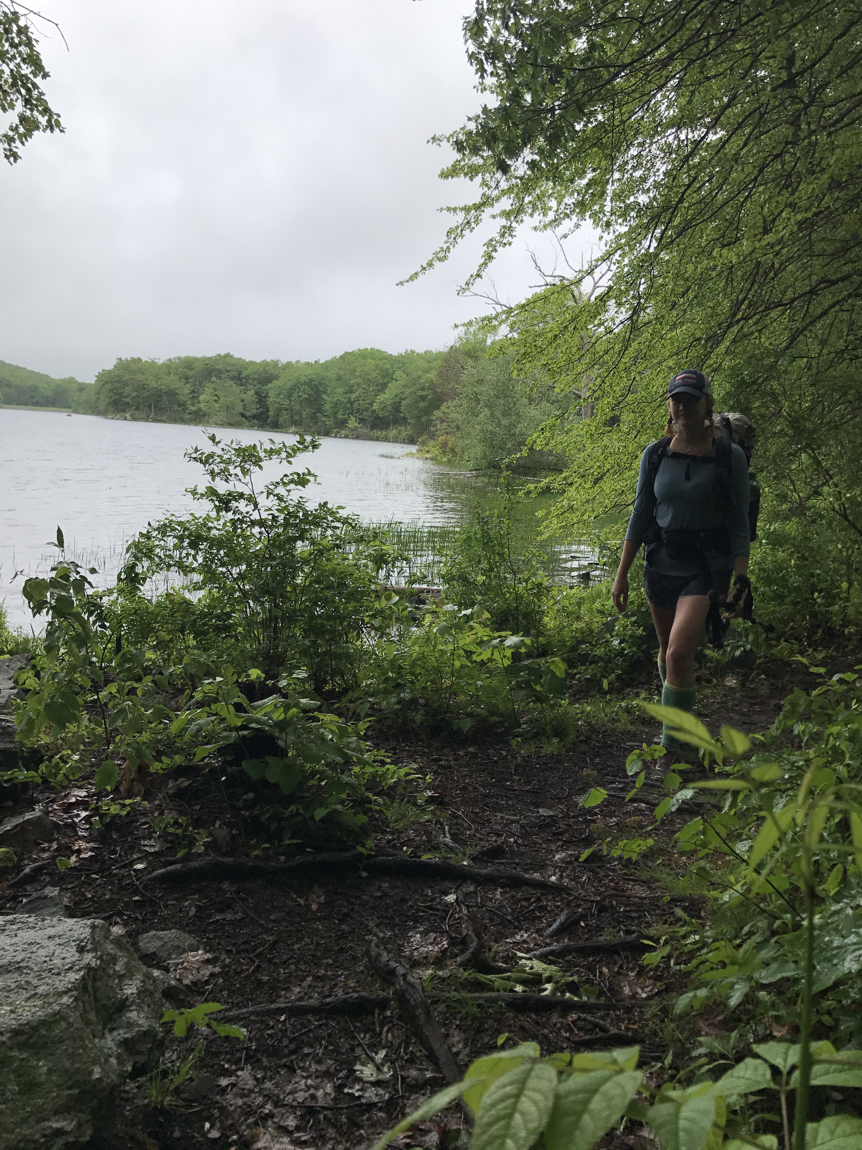
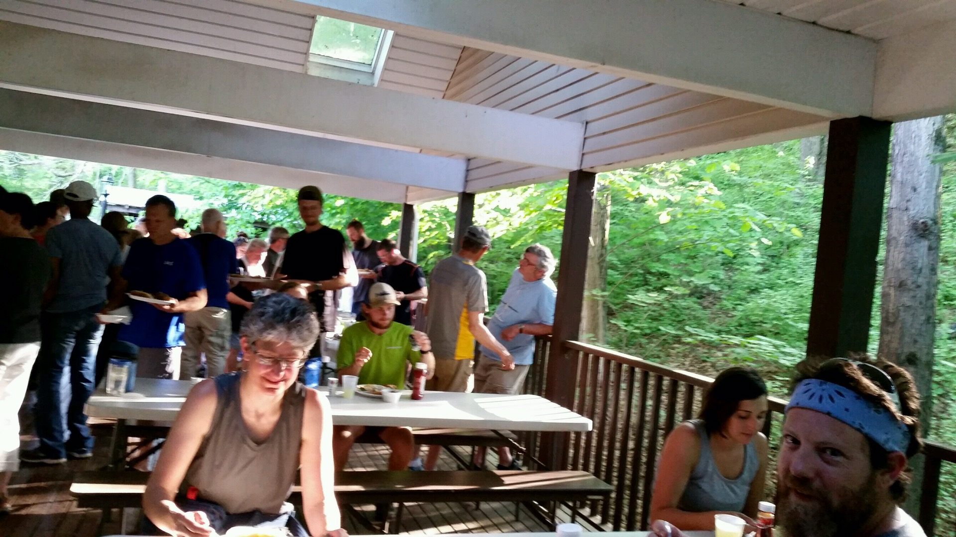
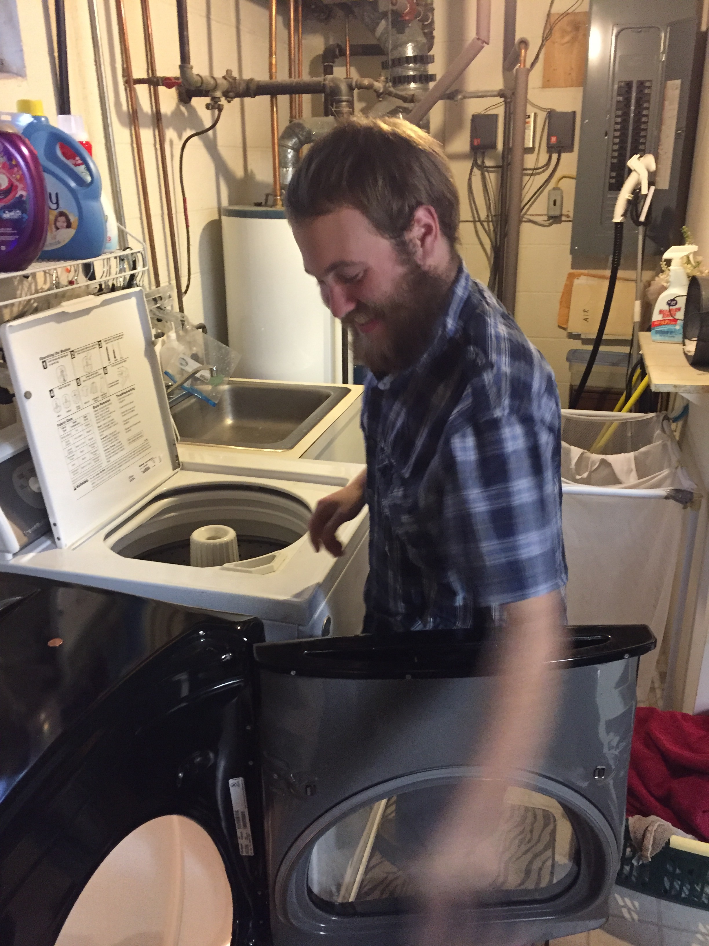
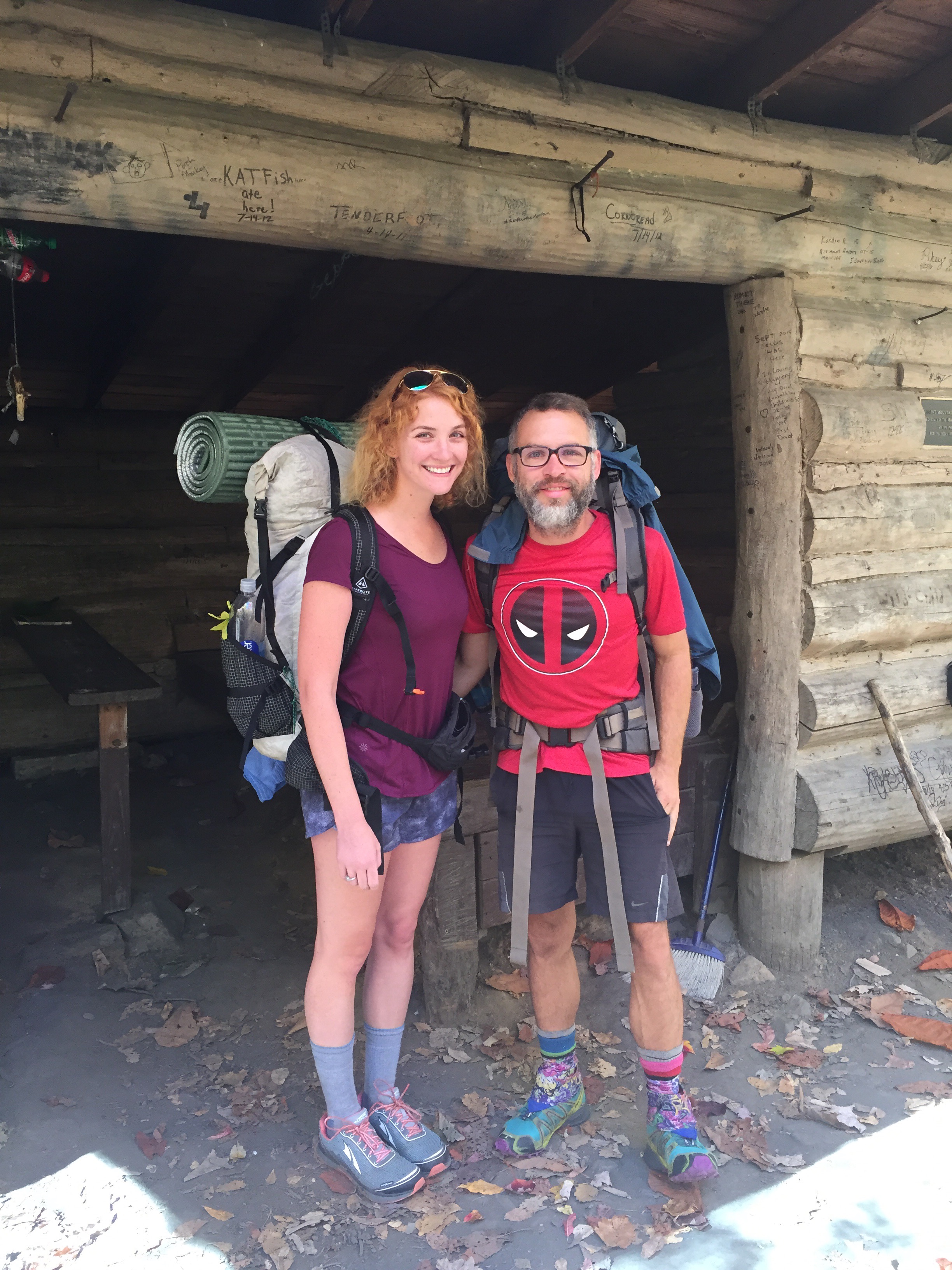
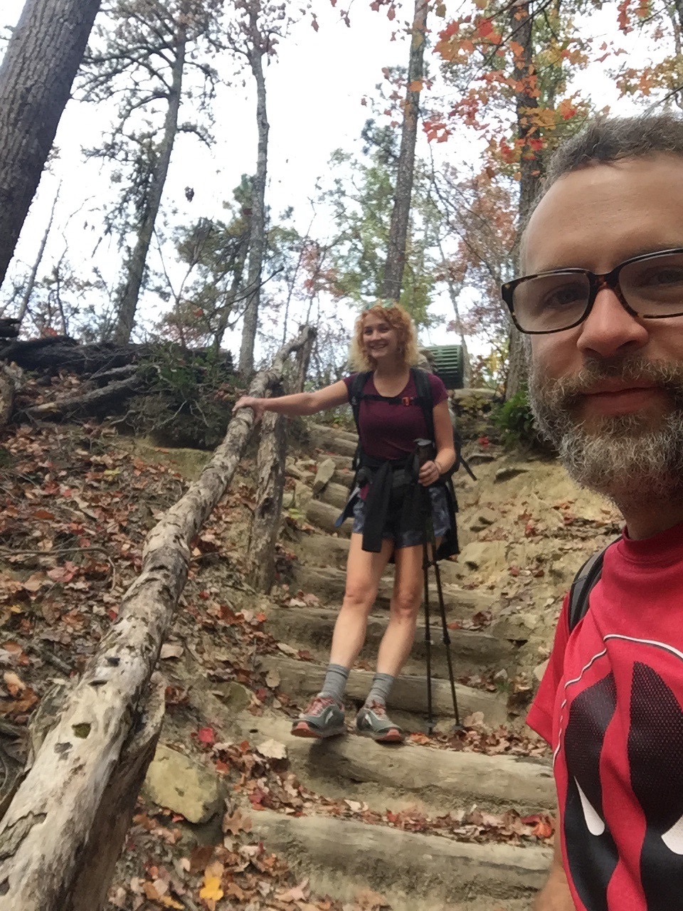
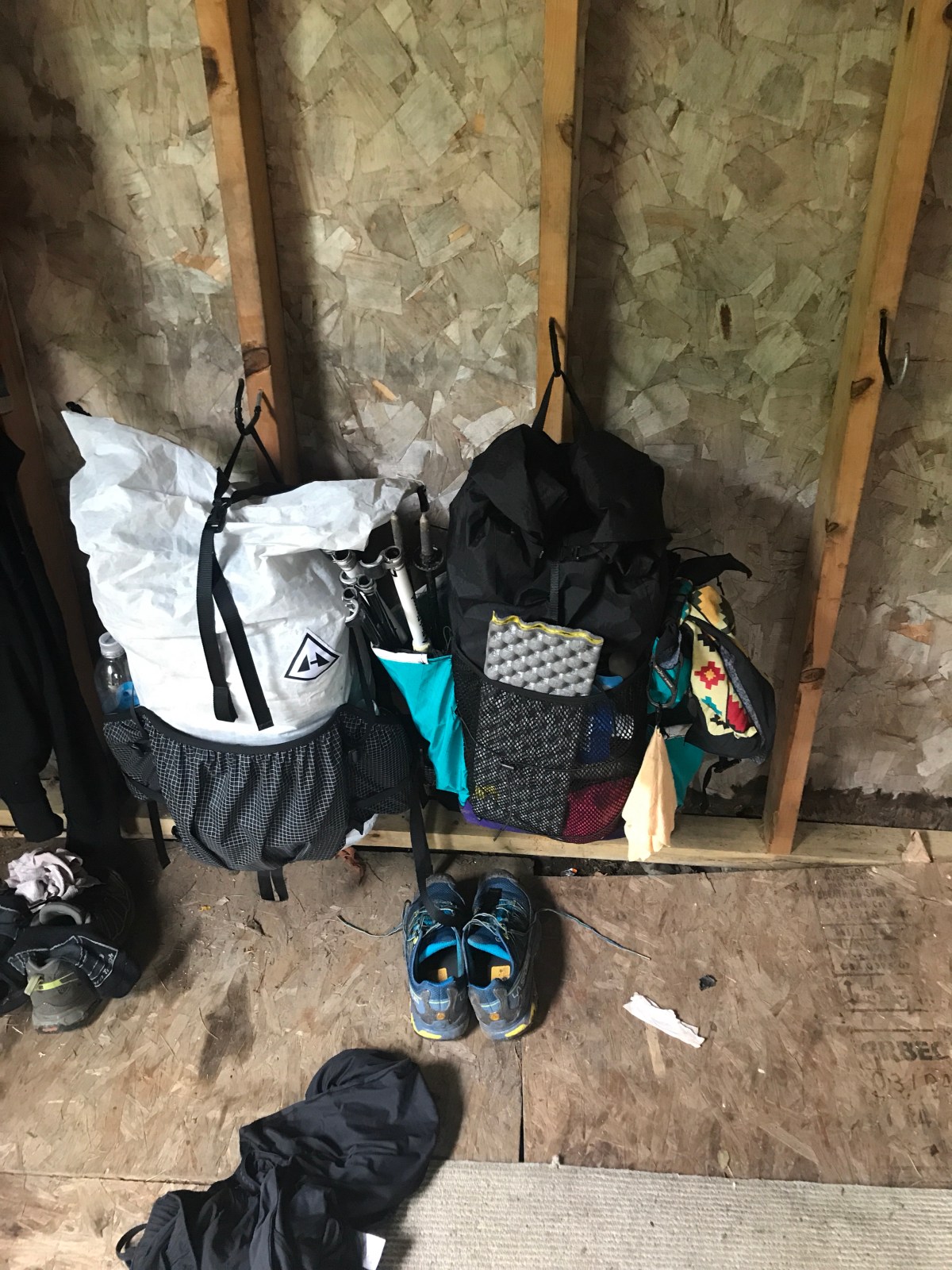
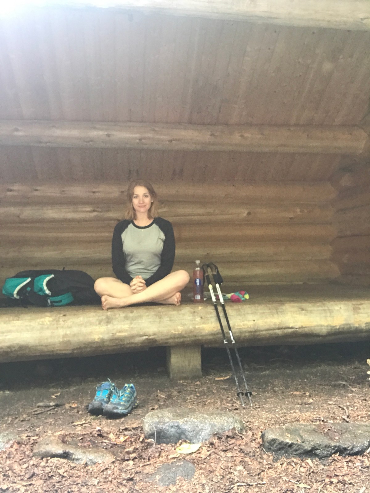
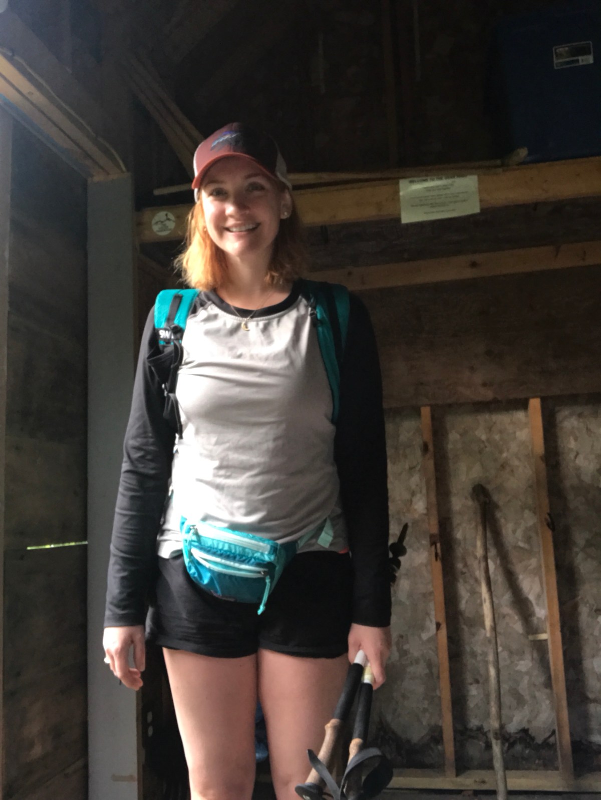
At the bottom, we decided the best course of action was to go to The Notch hostel. We could resupply and slackpack 16 miles the next day, and that would take care of resupply, laundry, showers, and keep us on track.

It was a great decision.

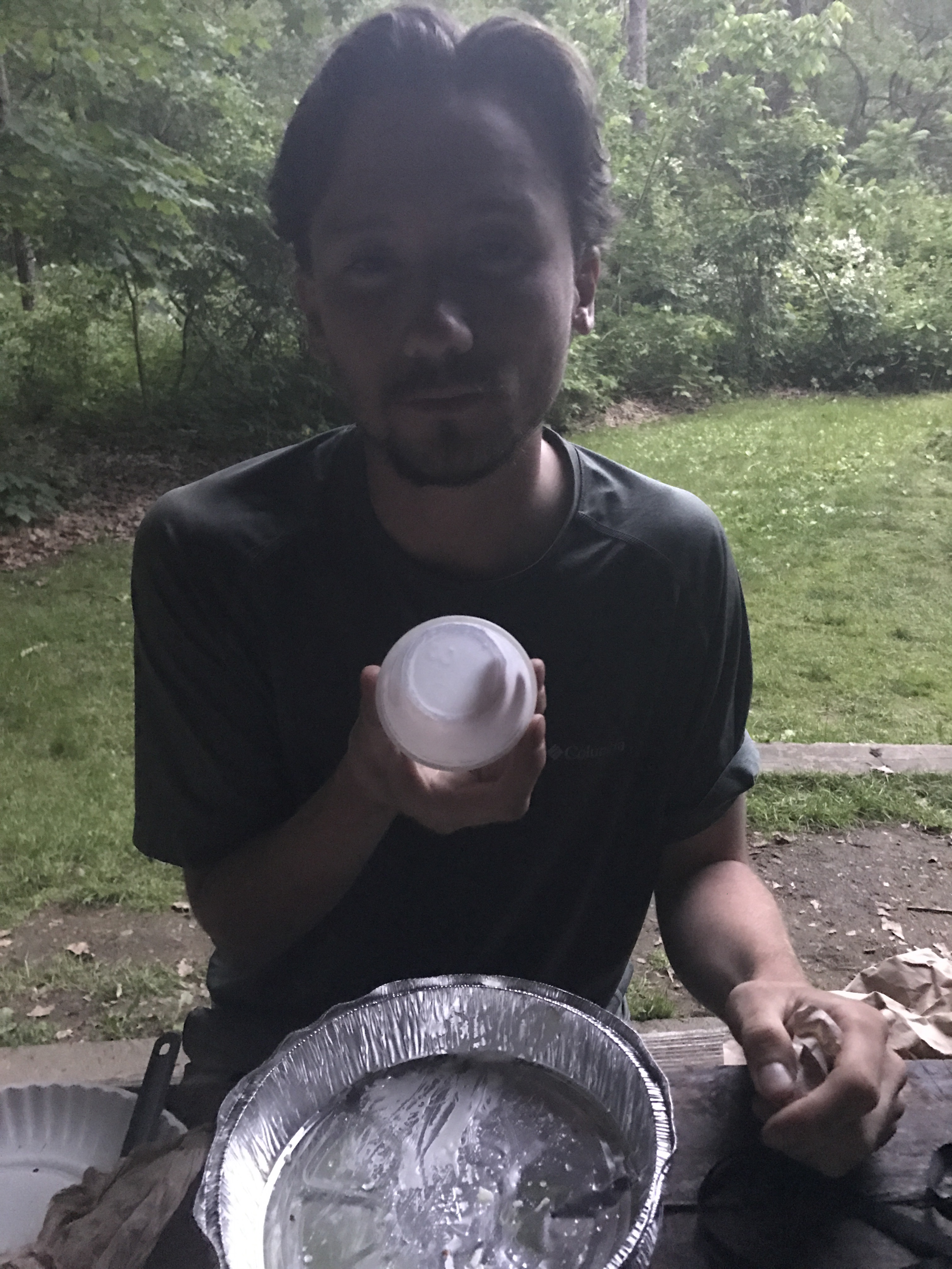
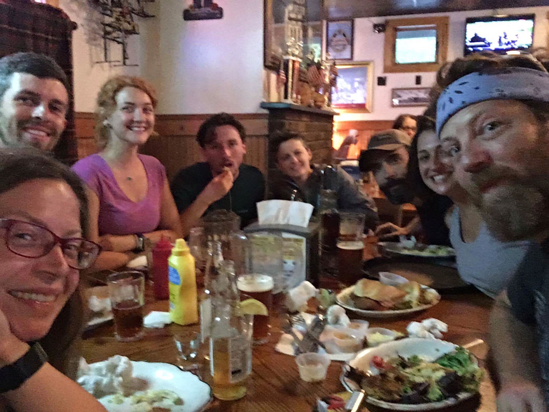
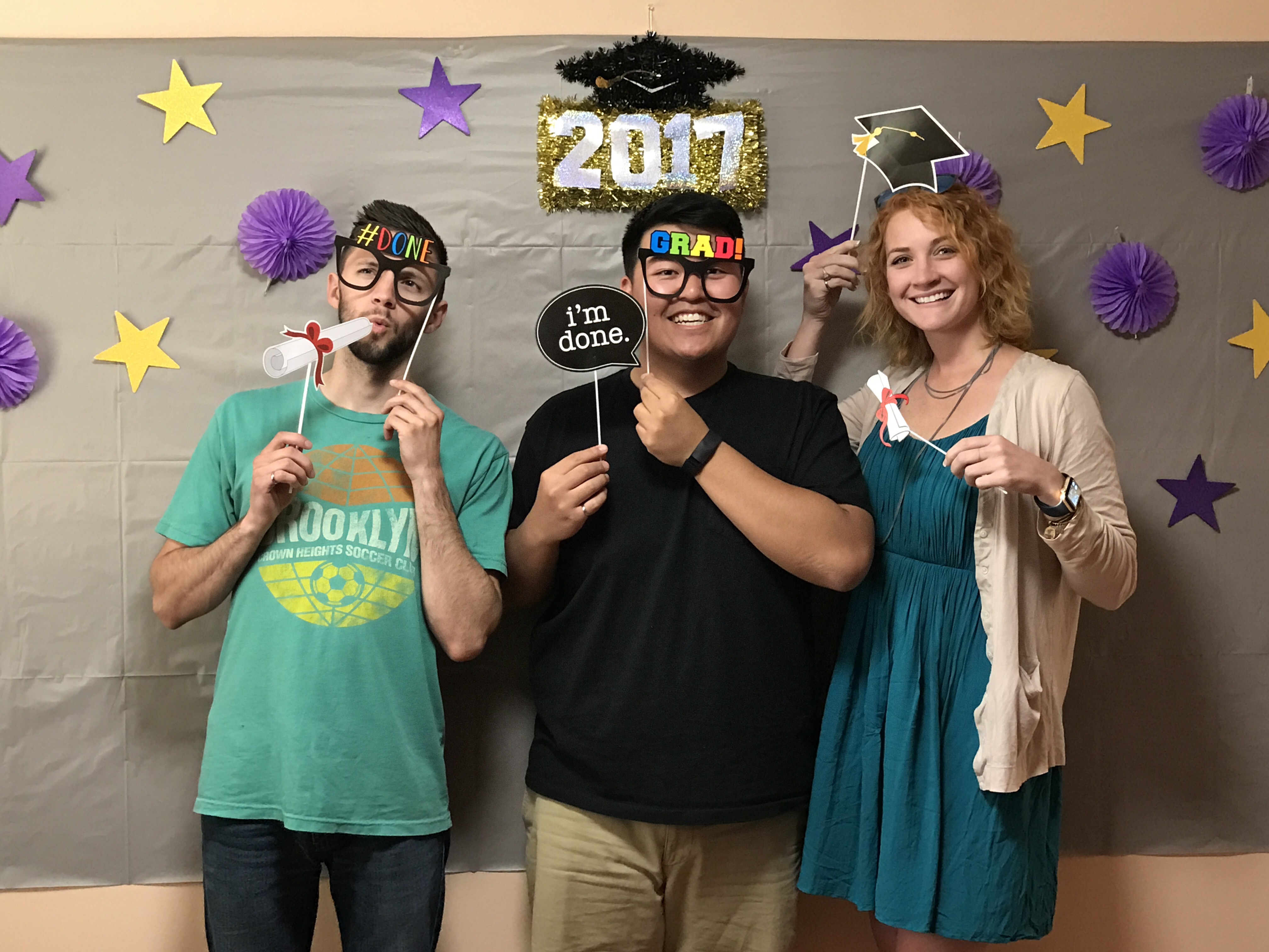
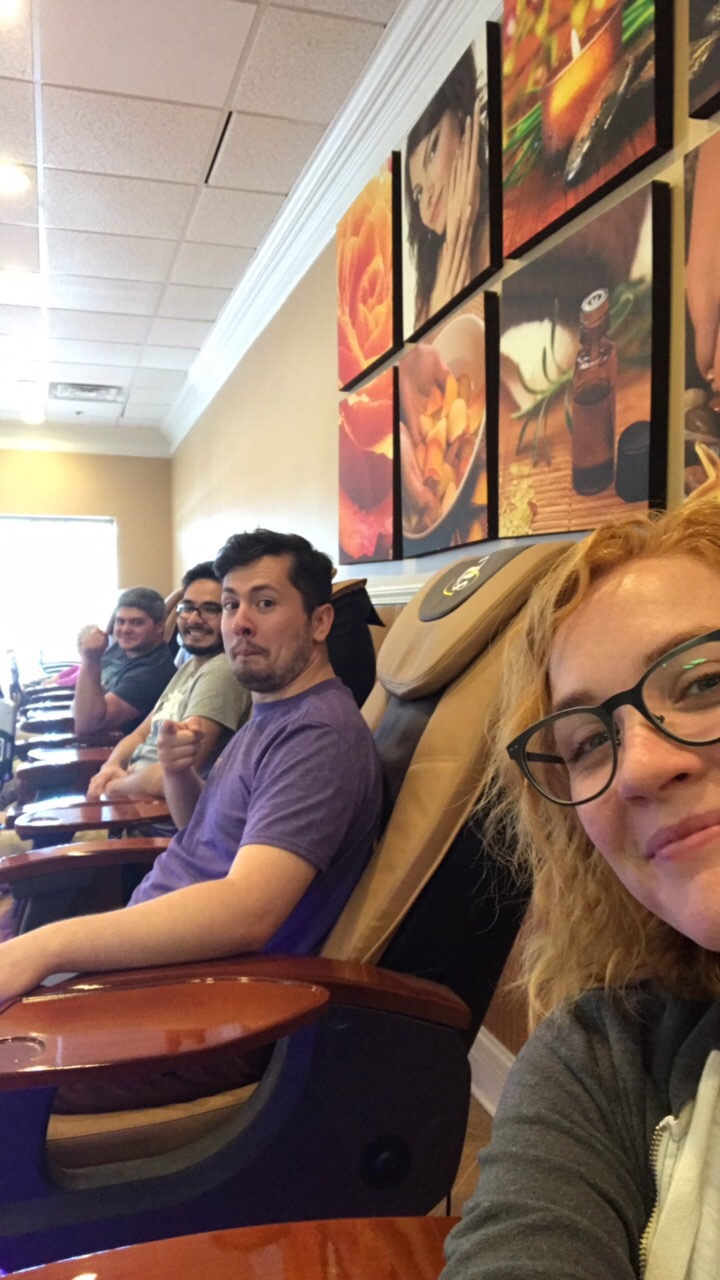
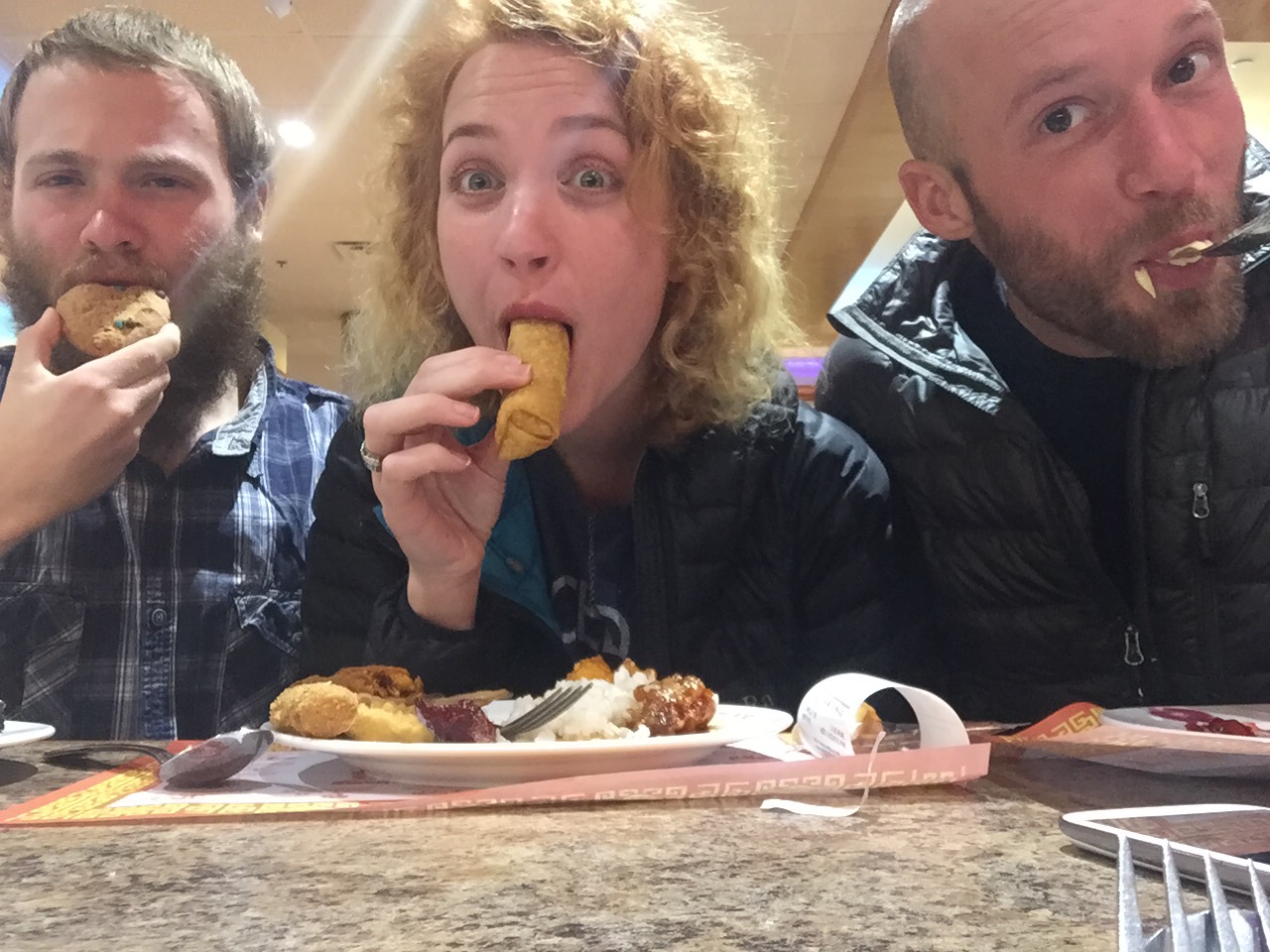
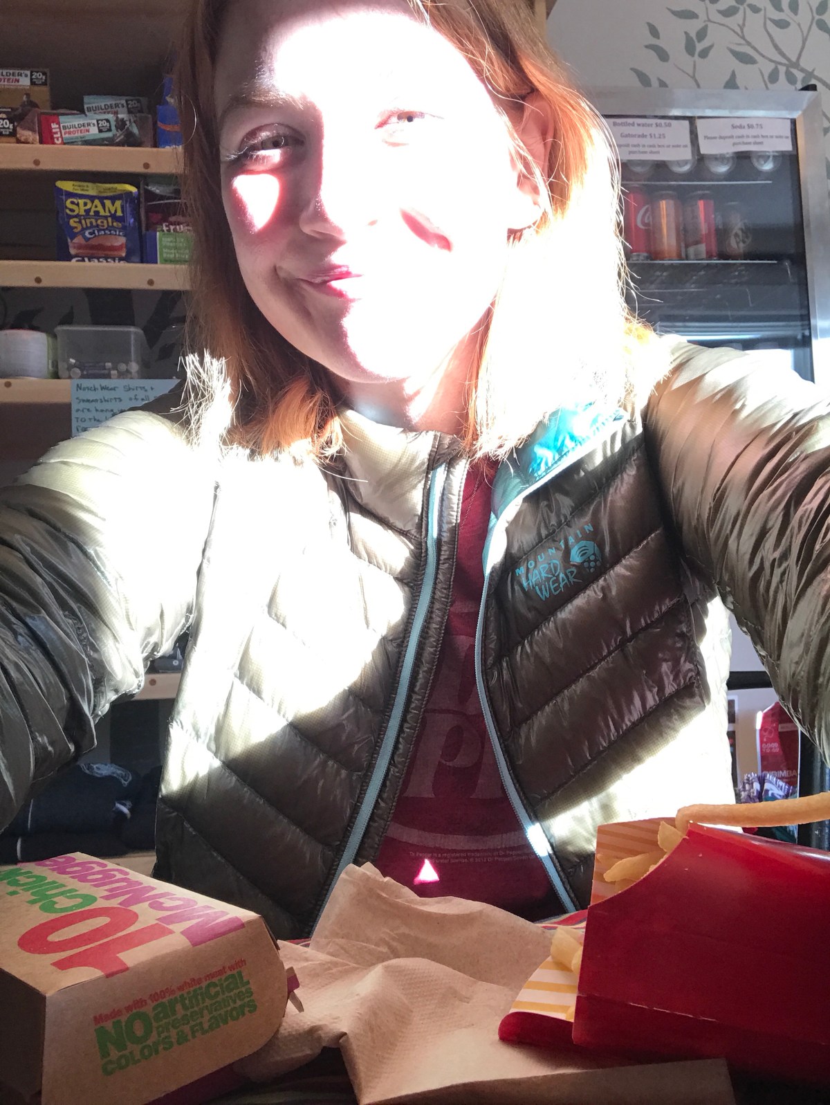
We came to the hostel and got checked in, then went to town and got Mexican for lunch, then went to price chopper to buy our groceries for the next 6 days.

We walked 2 miles back to the hostel, which was nice. Showers and other chores took care of the rest of the day. McDonald’s for dinner (of course) and then we were ready for bed.

Miles: 8

MVP: Getting to the parking lot

LVP: downhill.

*****

6: slack pack the Kinsmans

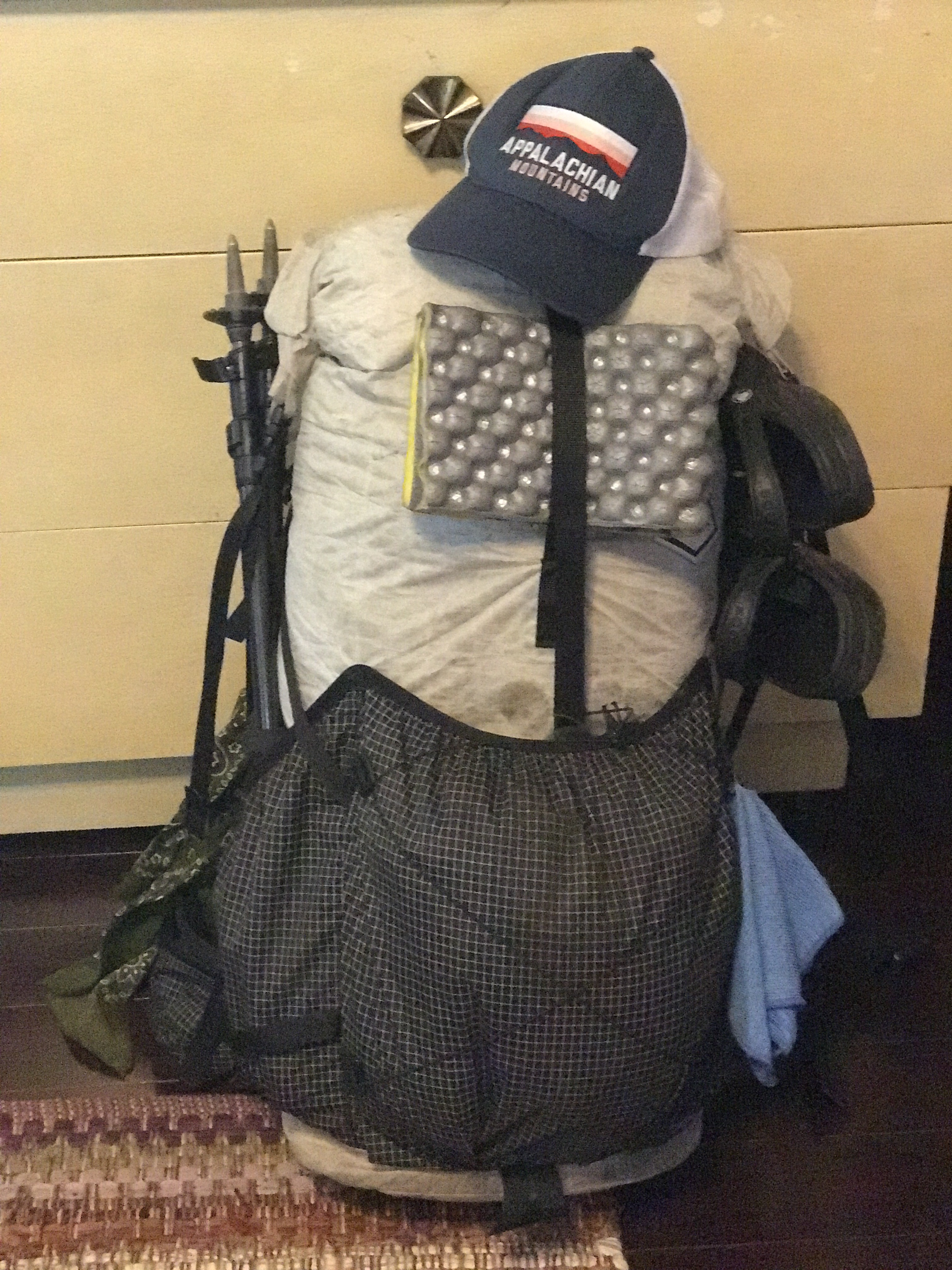
We decided to slackpack 16 miles today. Slackpacking is when you leave most of your stuff at the hostel and only take what you need for a dayhike. It’s great for super challenging hikes and for knocking out some miles.

After we made pancakes, Bookie, the manager at The Notch, drove us up to Beaver Brook, where we’d left off after coming down Moosilauke yesterday.

We immediately went up. And up and up and up.

First came Mt Wolf, which was unimpressive and not worth talking about.

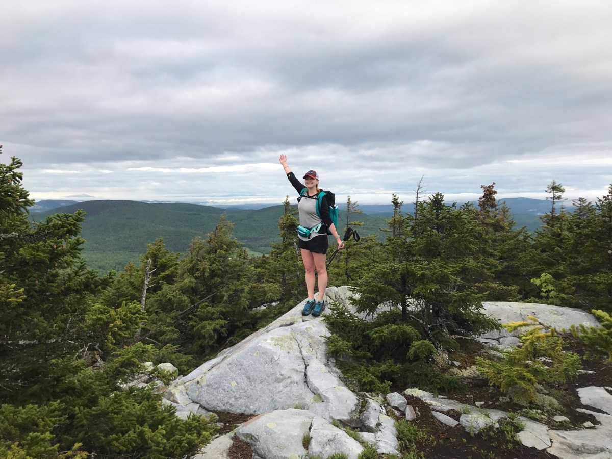
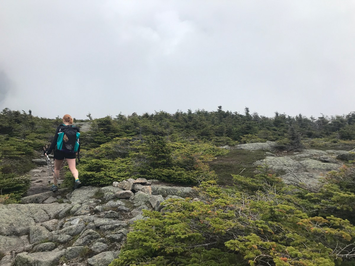
Then came the climb to South Kinsman Peak. People say they have a favorite mountain, or they say the super hard hikes are fun. I’ve never really gotten that until today.

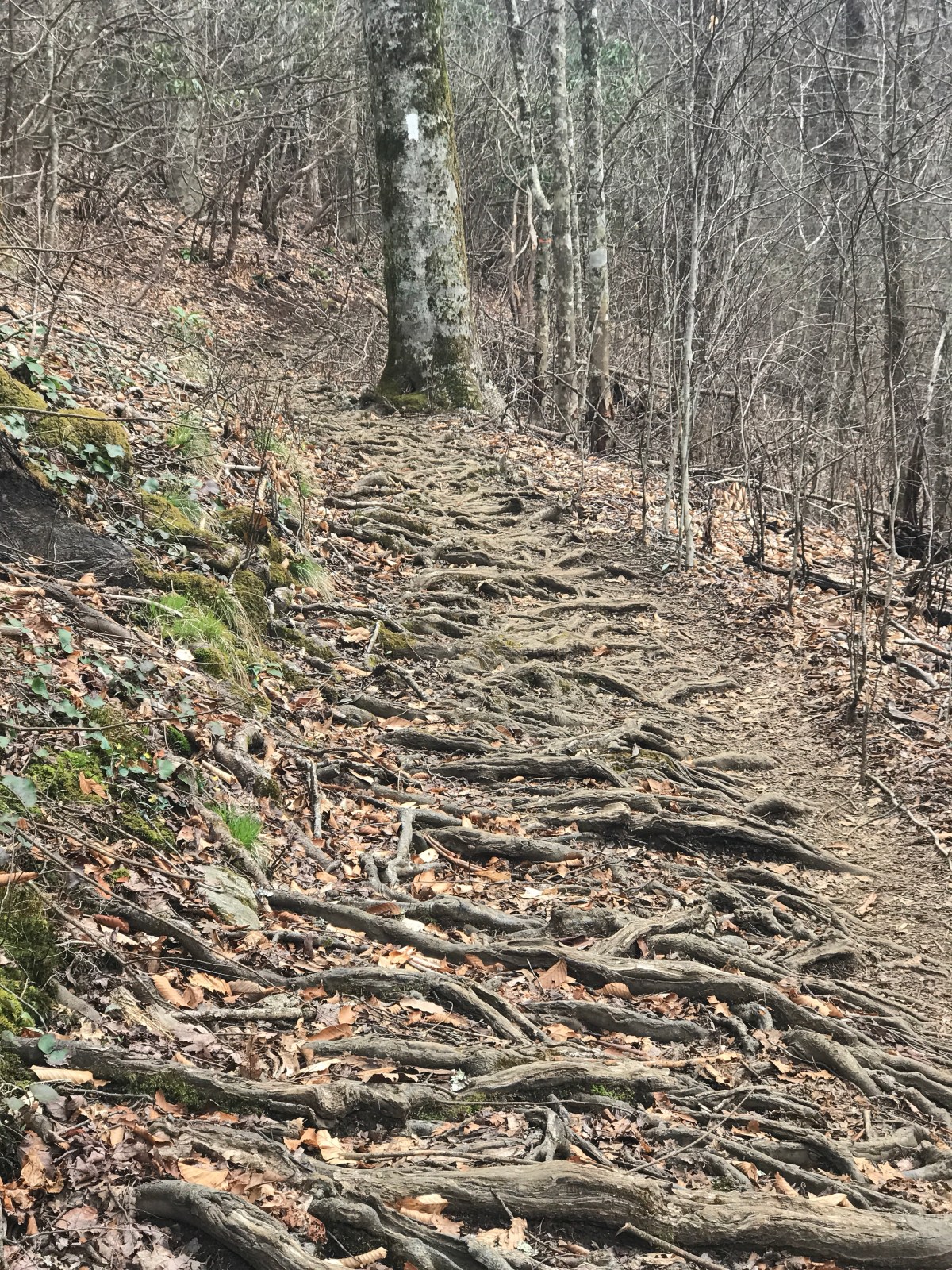
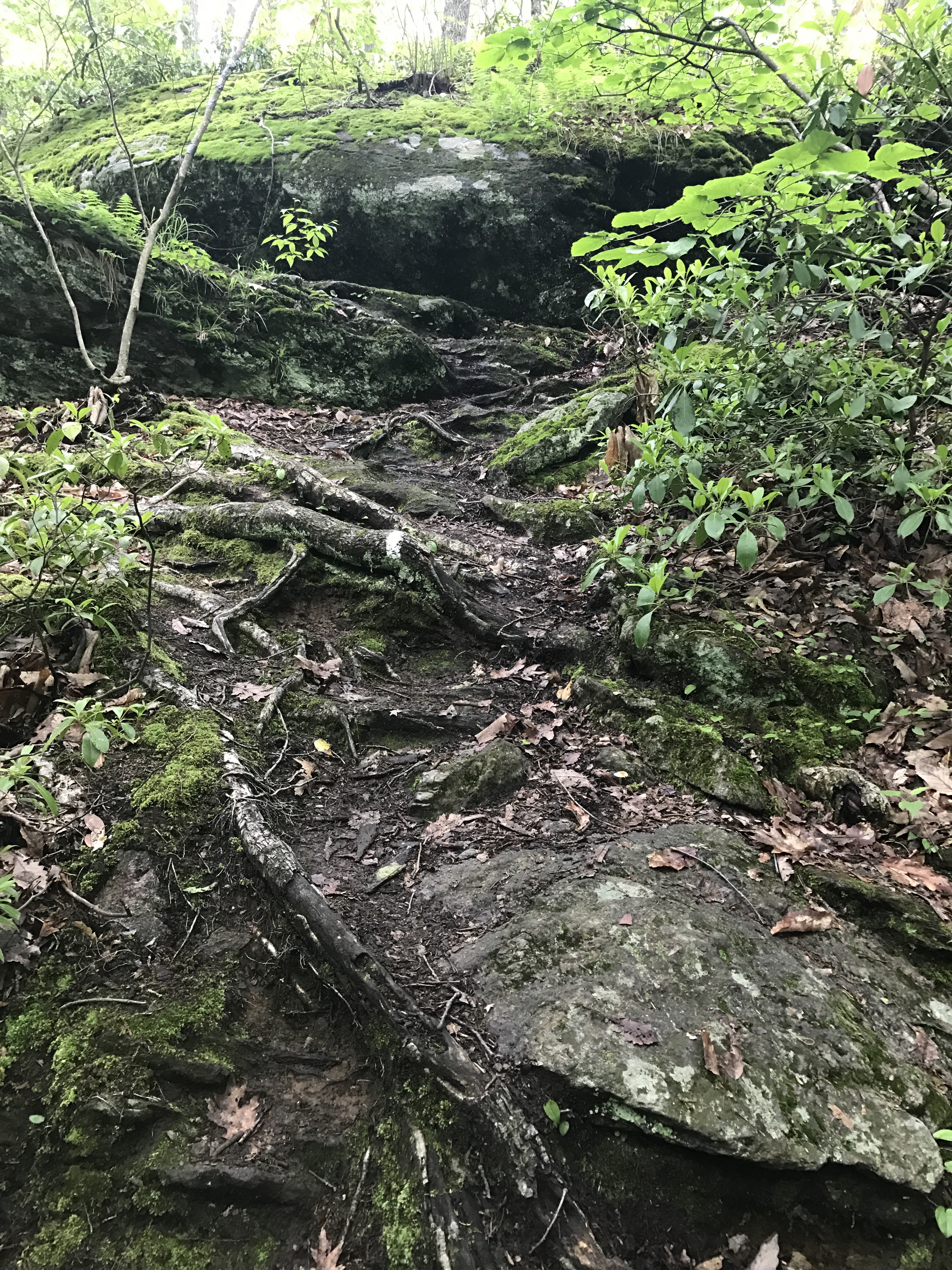
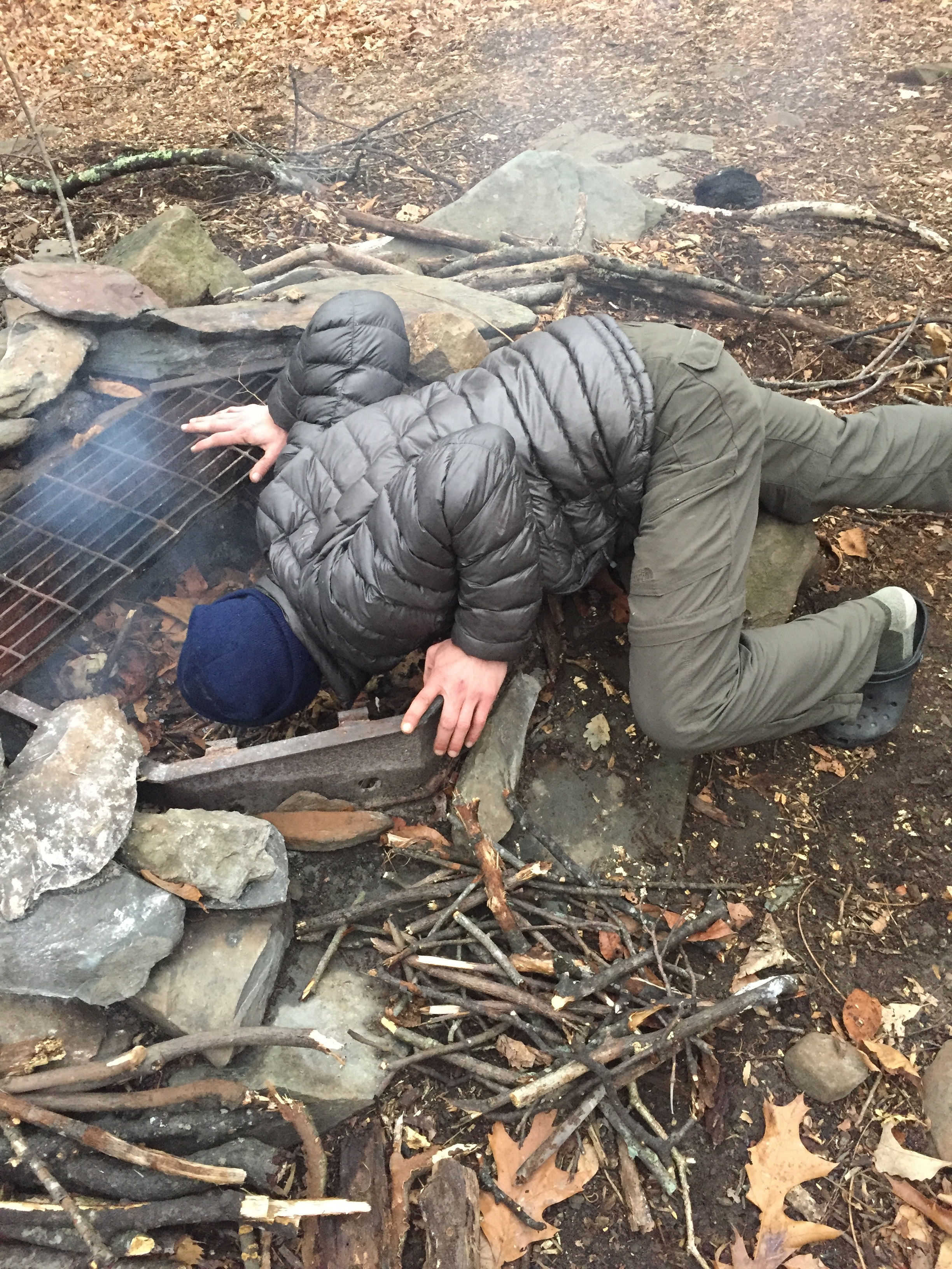
This was hard. It was VERY hard. It was steep uphill and with huge, giant slabs of rock you had to pull yourself up. It was like a puzzle, trying to find the route that would give you the elevation you needed to move on.

I got tired of that about .2 miles from the summit, but that’s ok.

I was worried that the clouds rolling in would mean another foggy summit, but I was wrong.

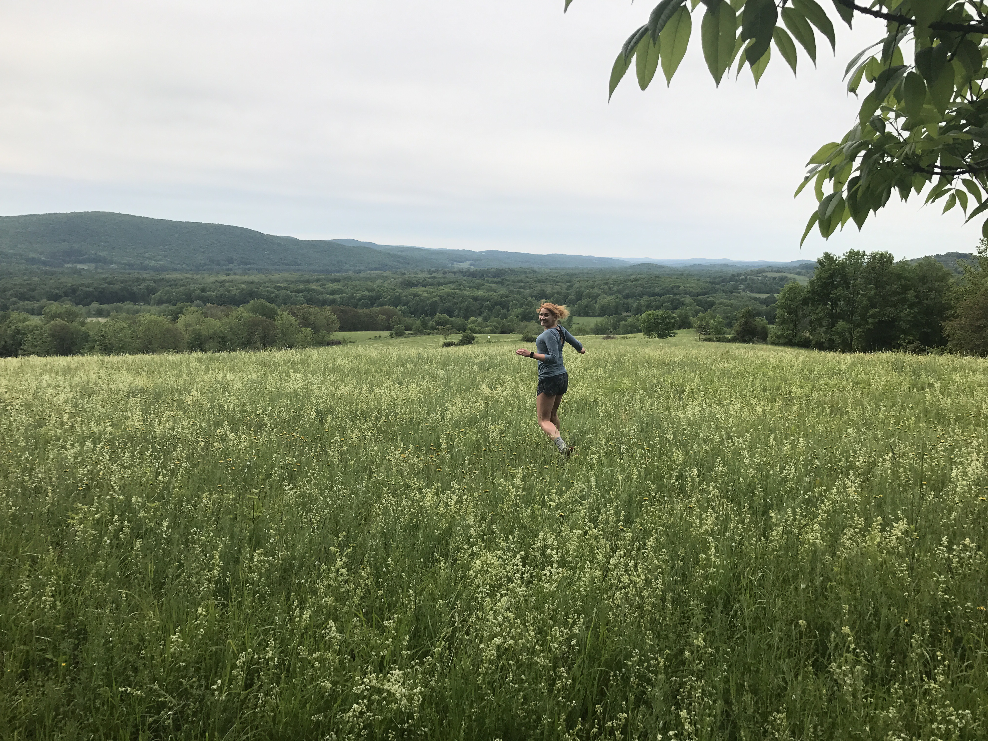
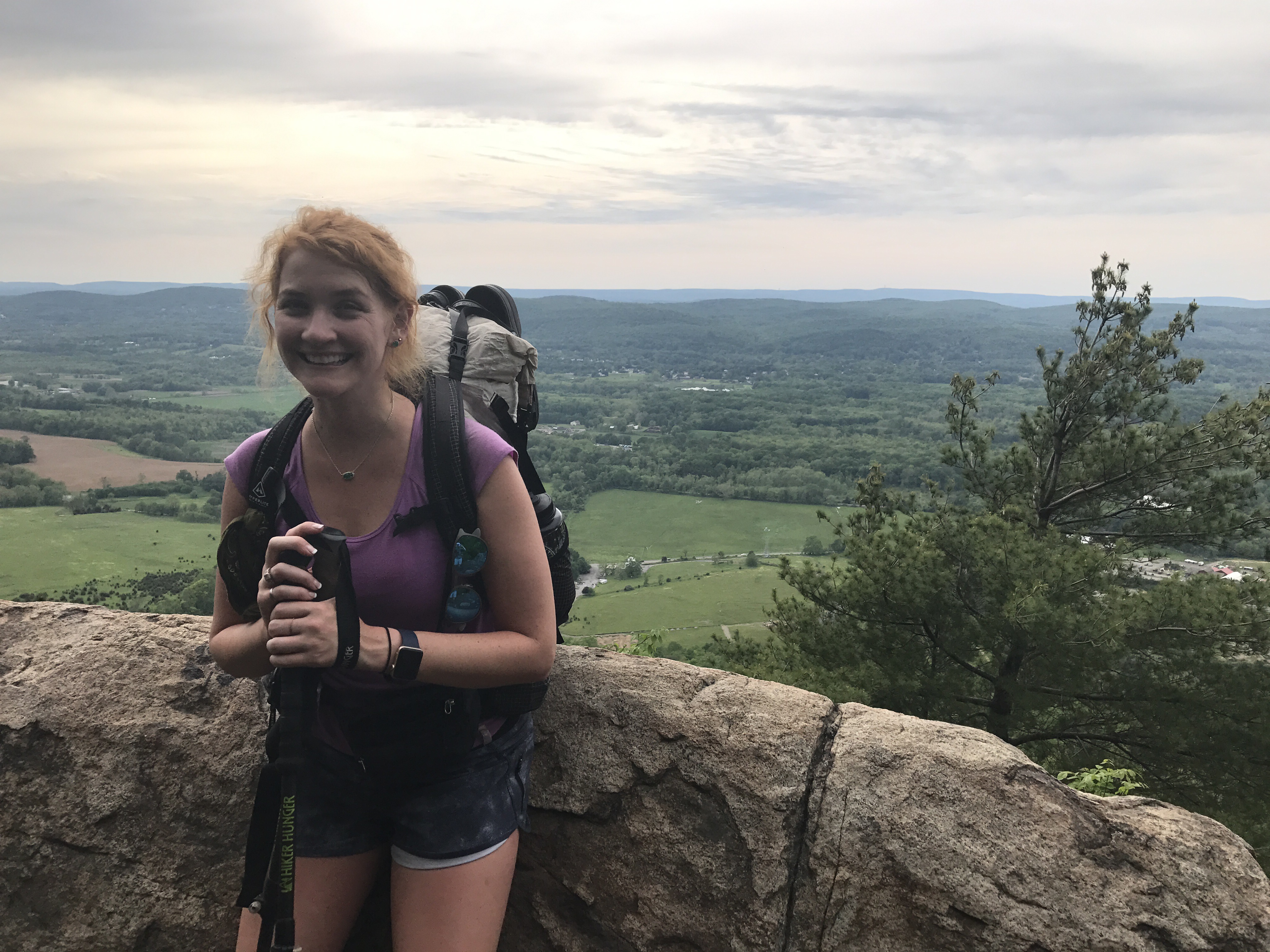
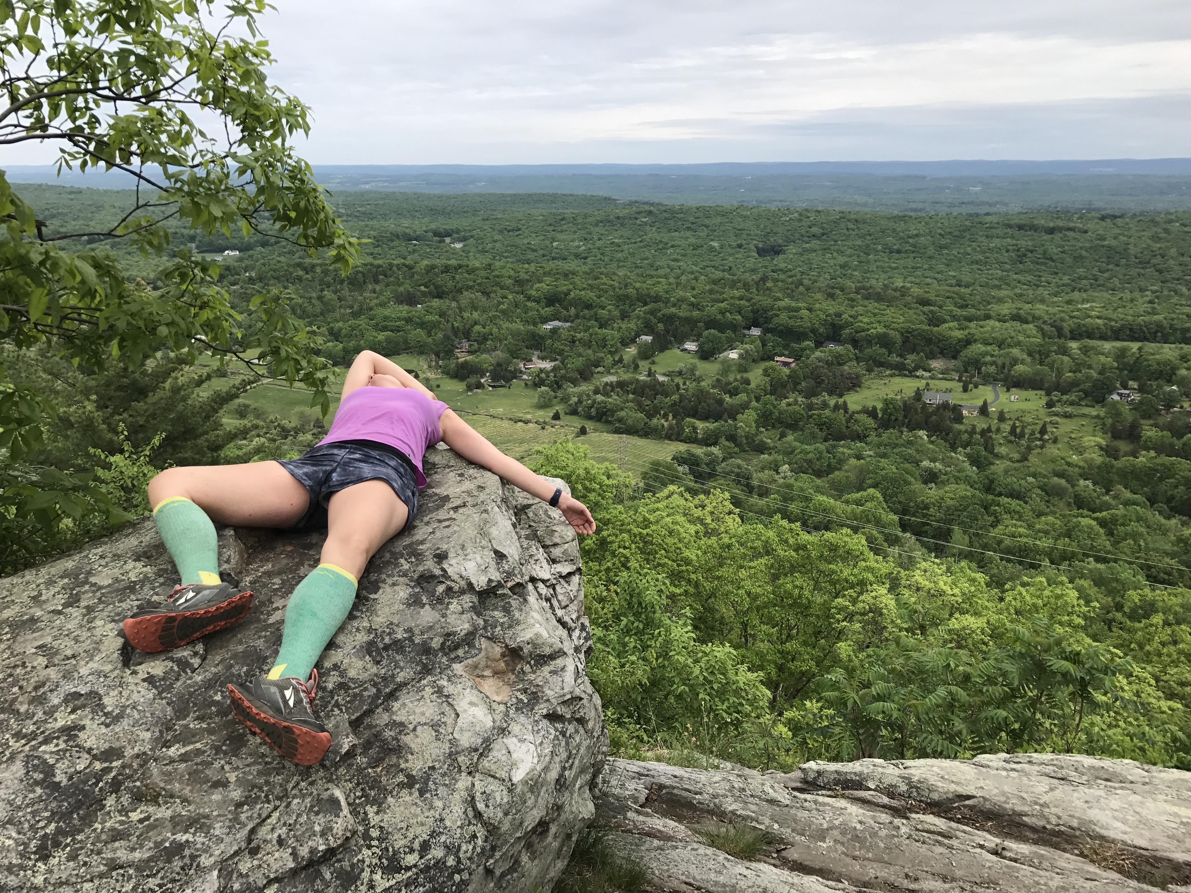
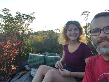
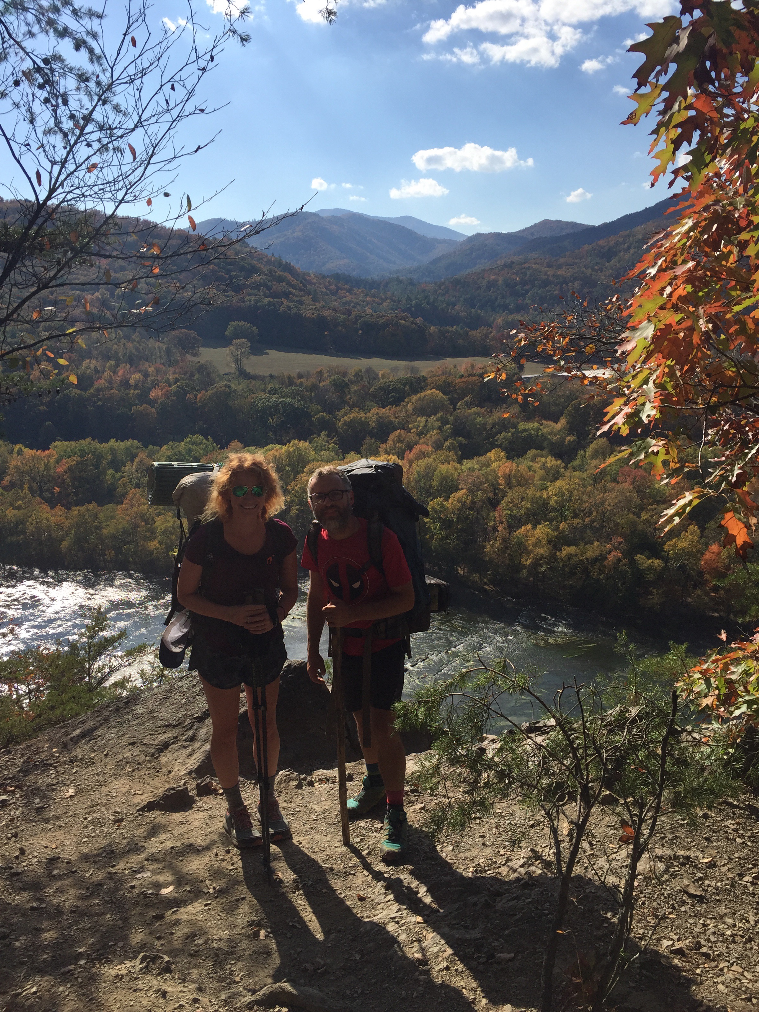
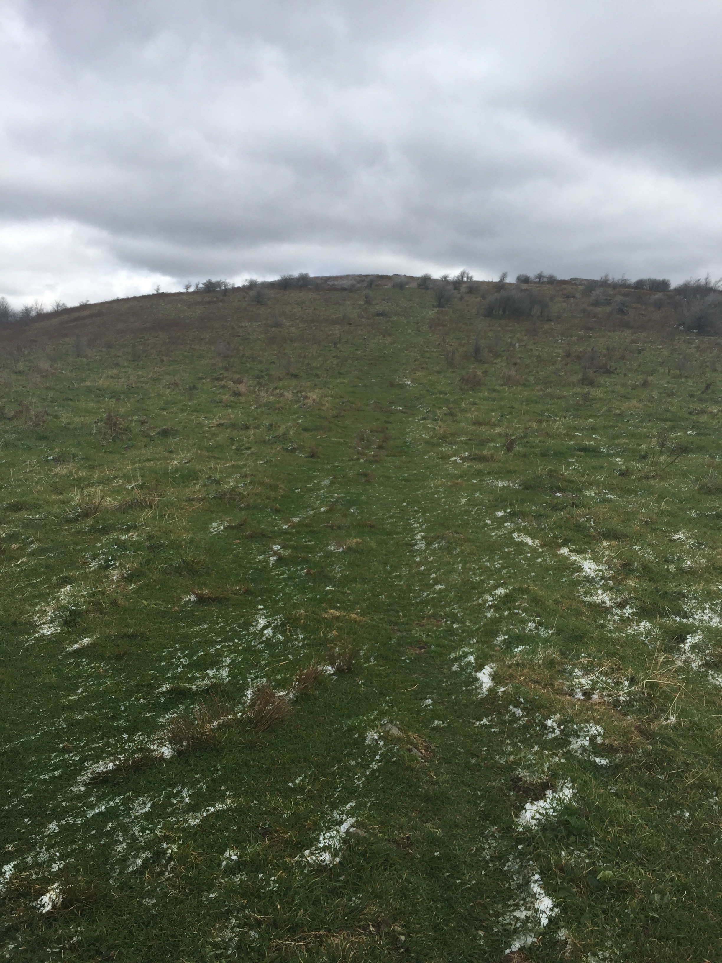
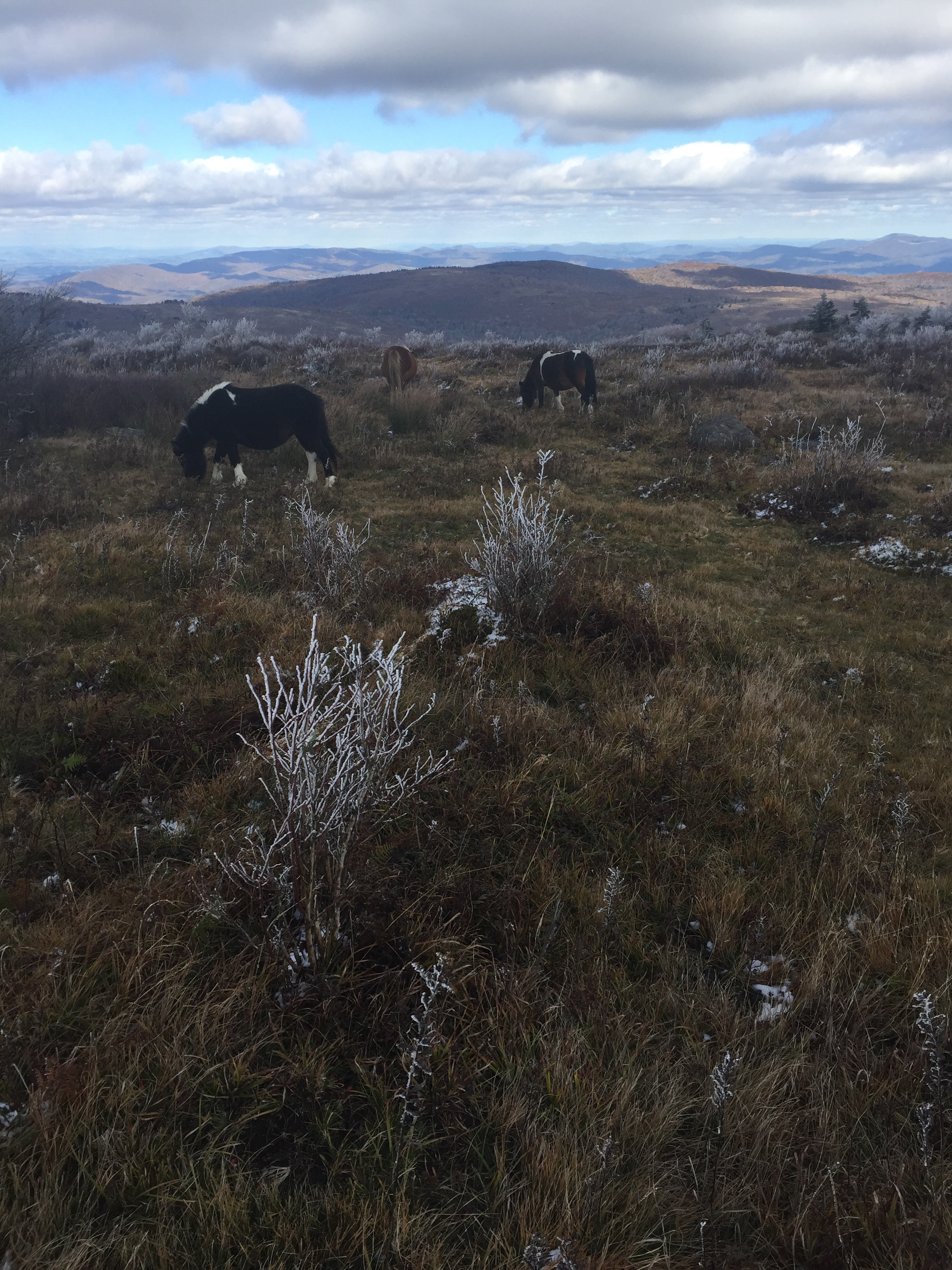
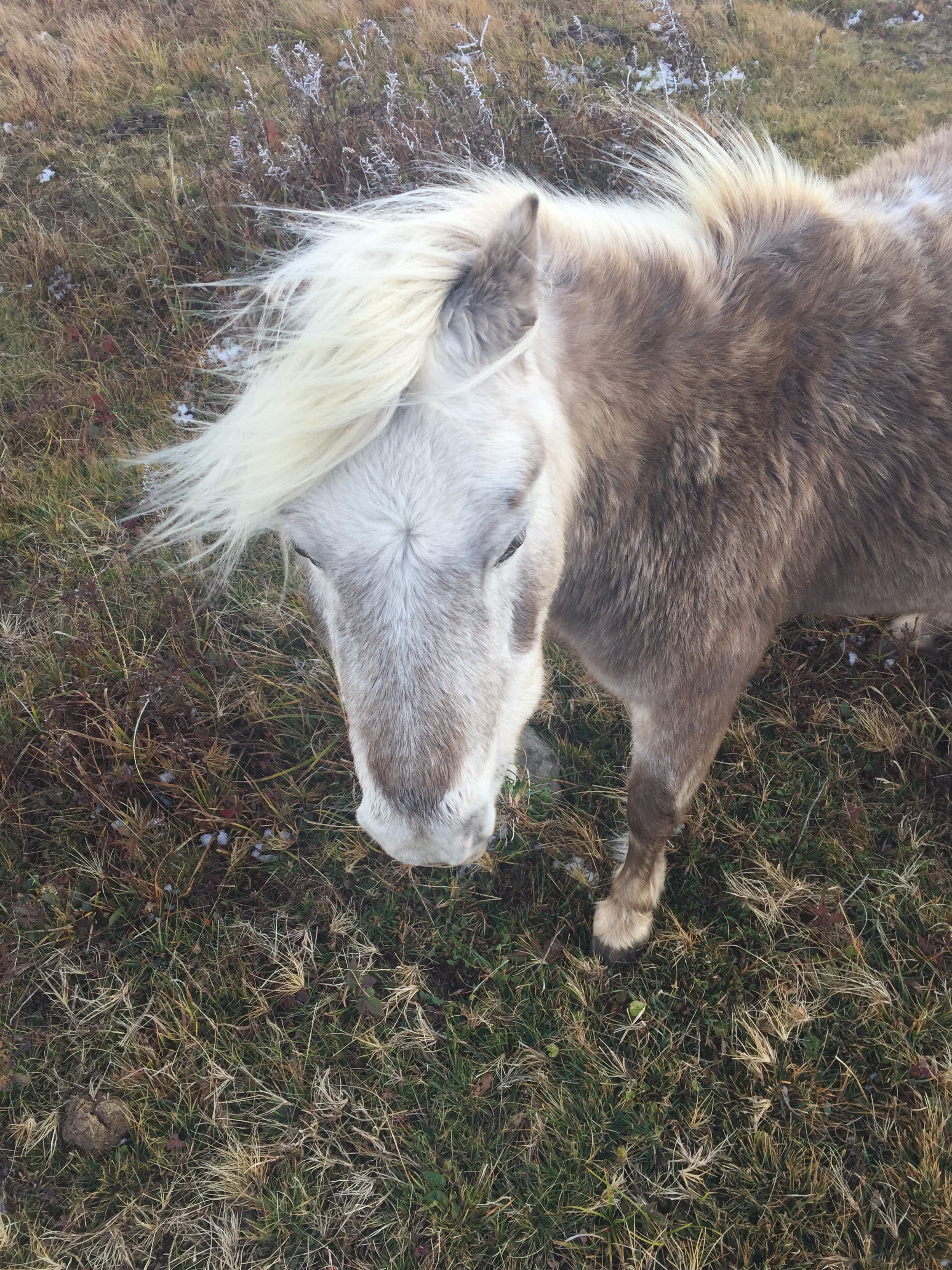
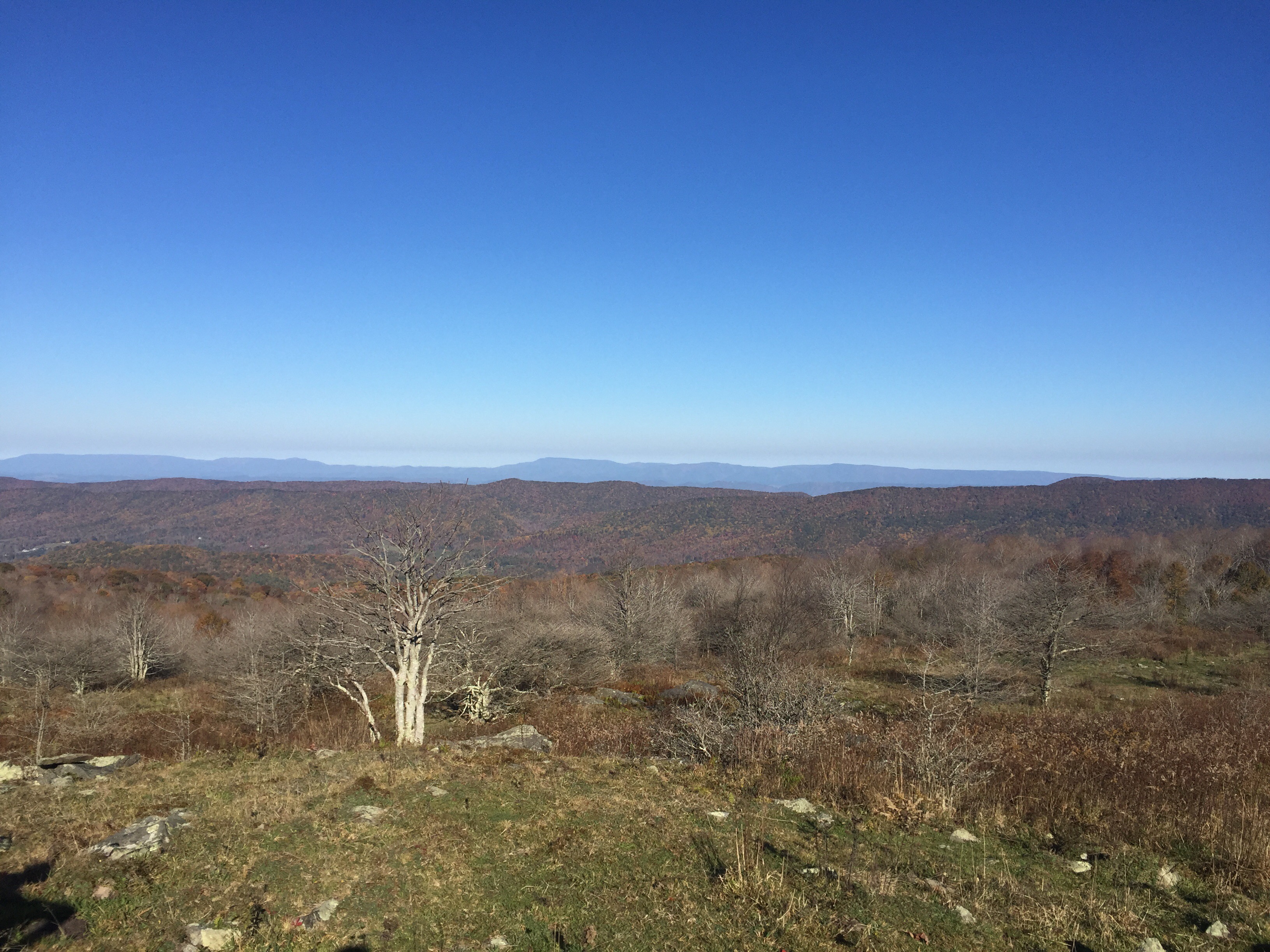
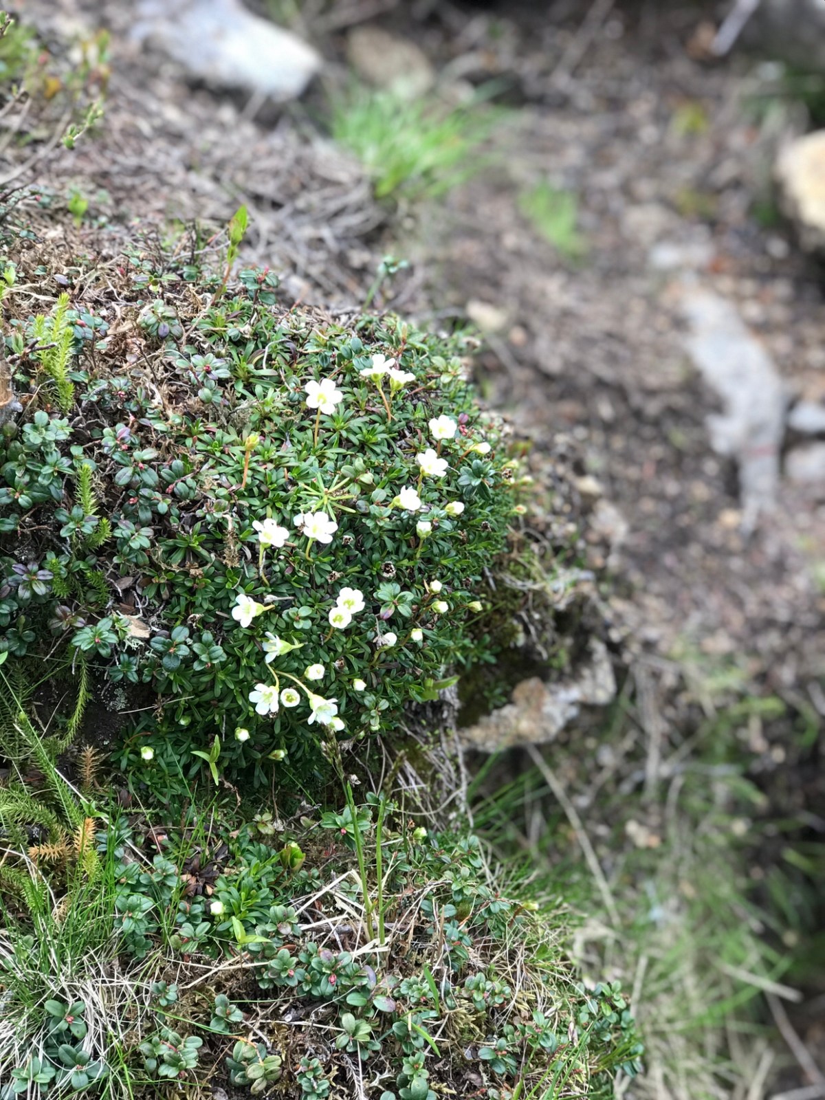
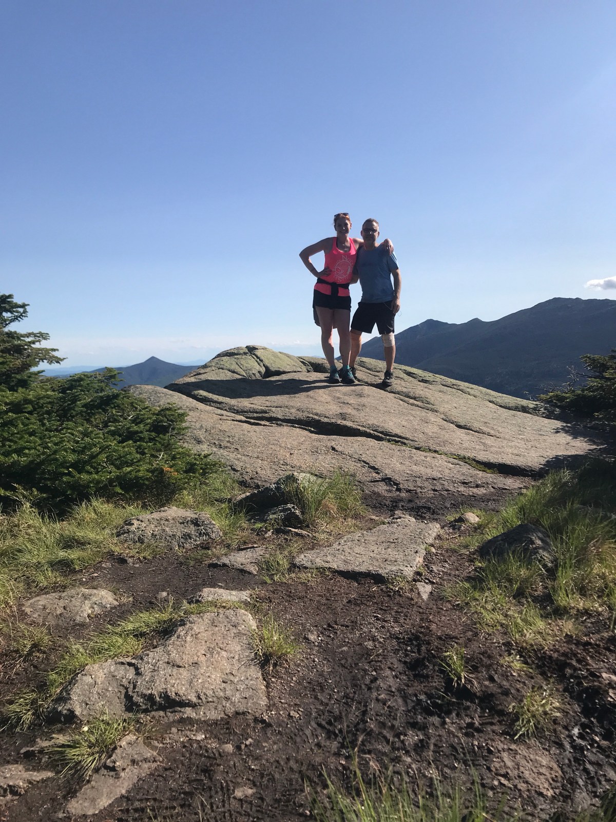
A quick mile lead us to north Kinsman mountain. The views were amazing.

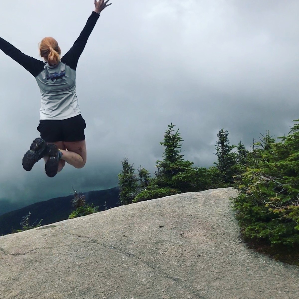
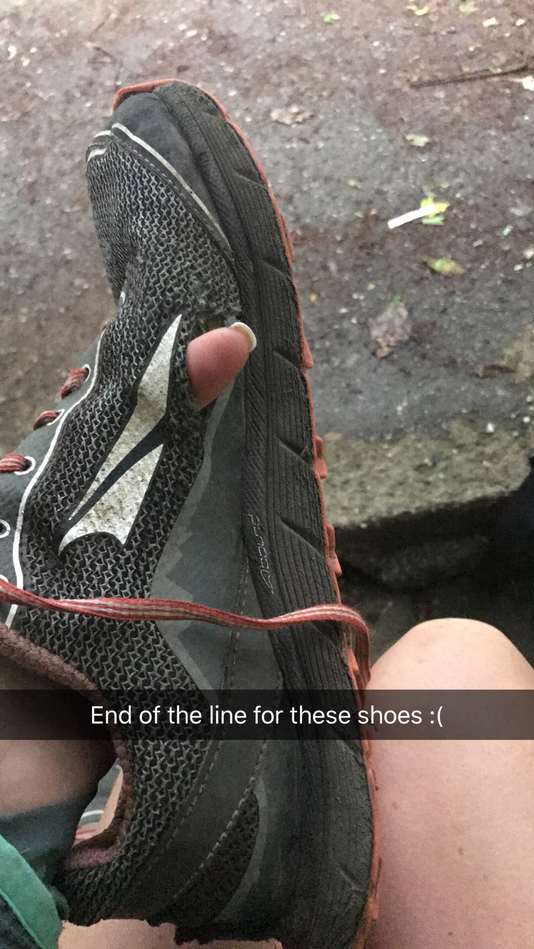
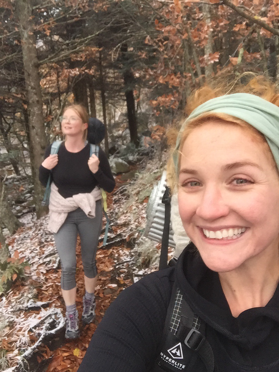
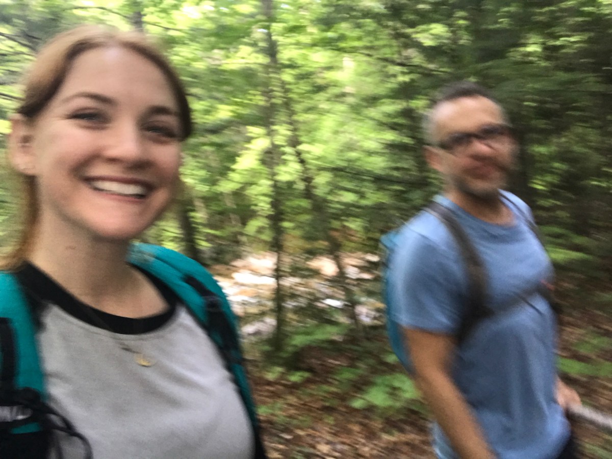
After a nice break, we started the descent. Look, it was hard. My knees will probably never recover. It’s slick rock slabs and giant boulders and everything else for about 3 miles, and then the trail evens out and we could pick up a little speed.

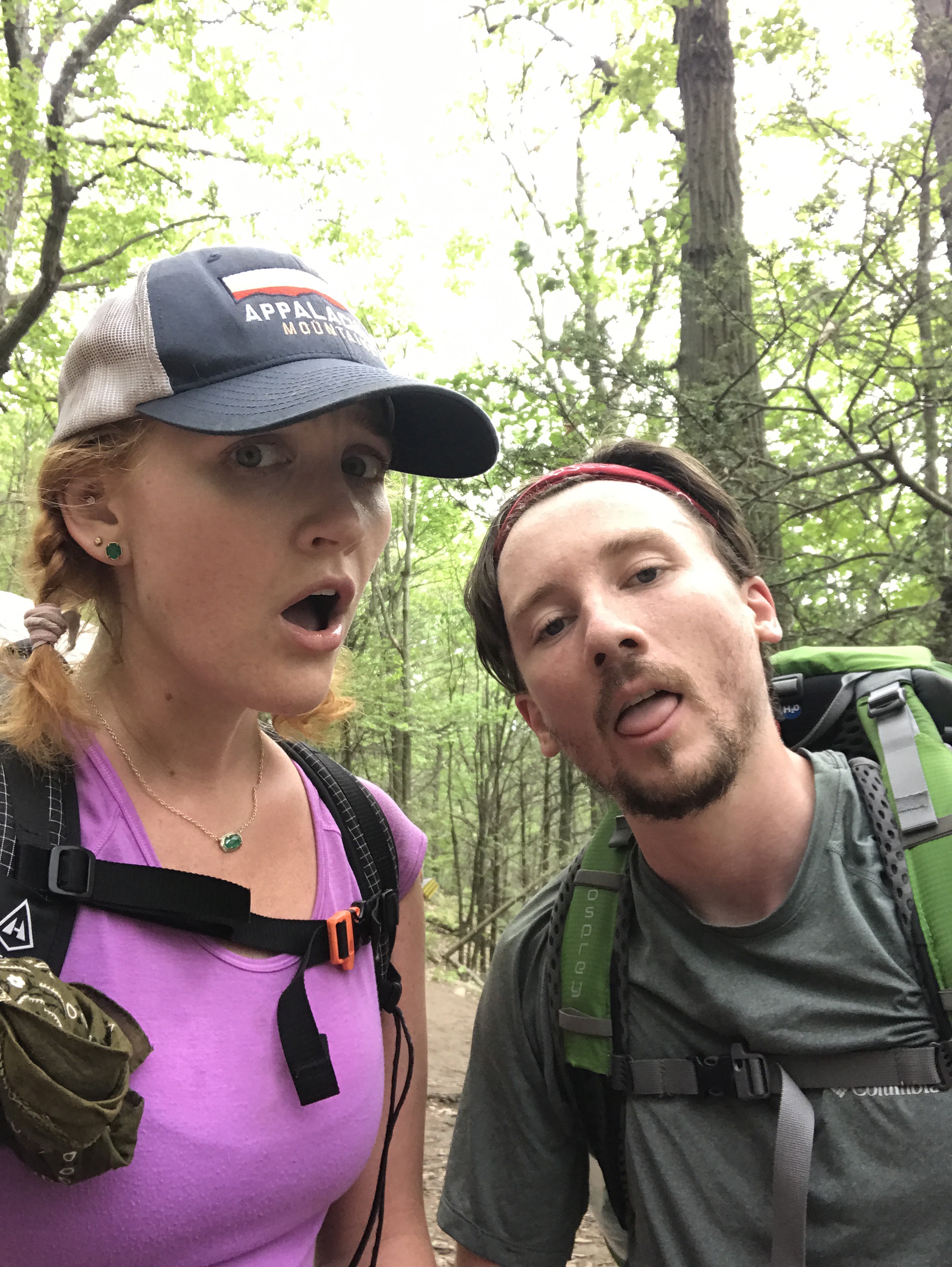
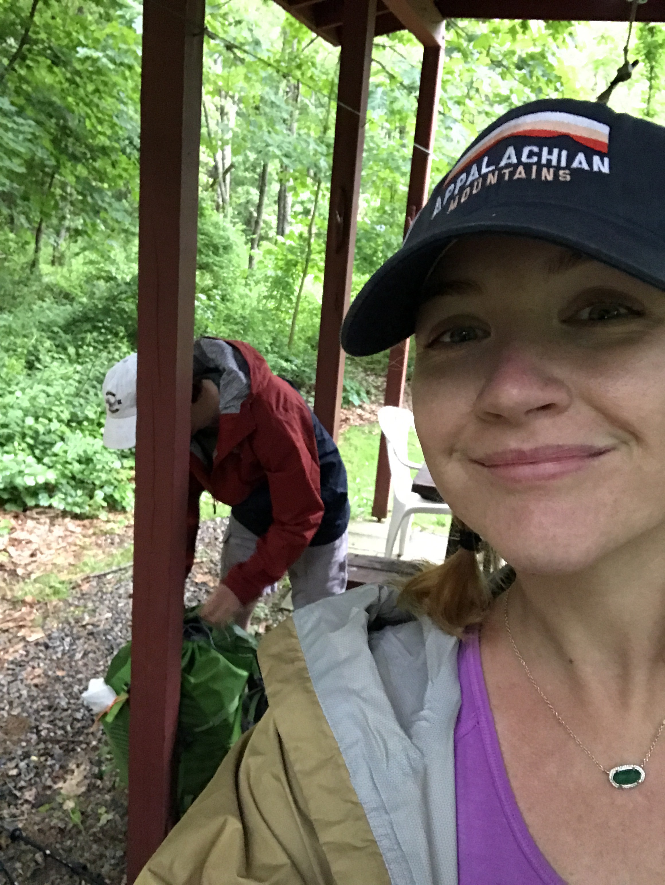
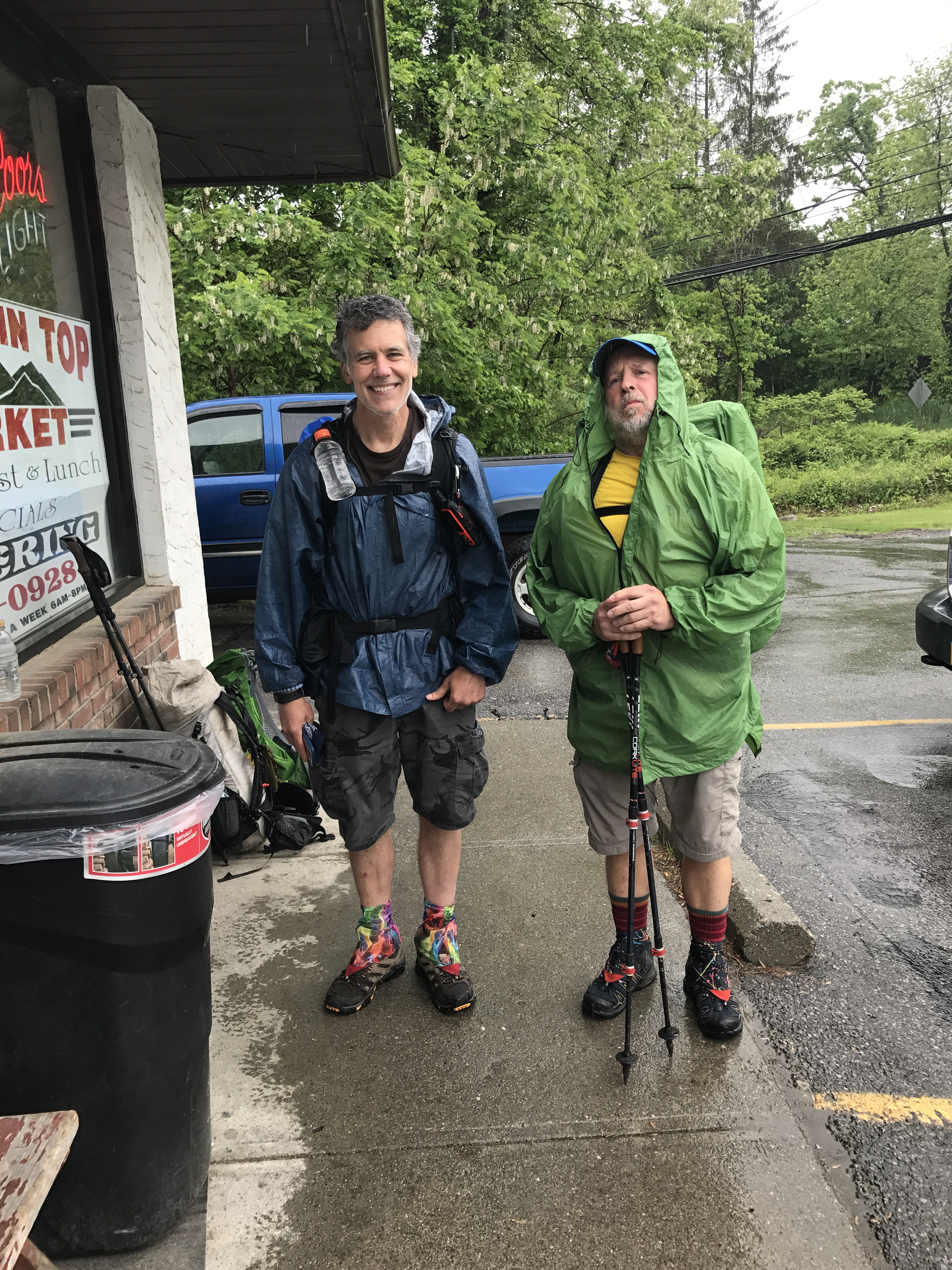
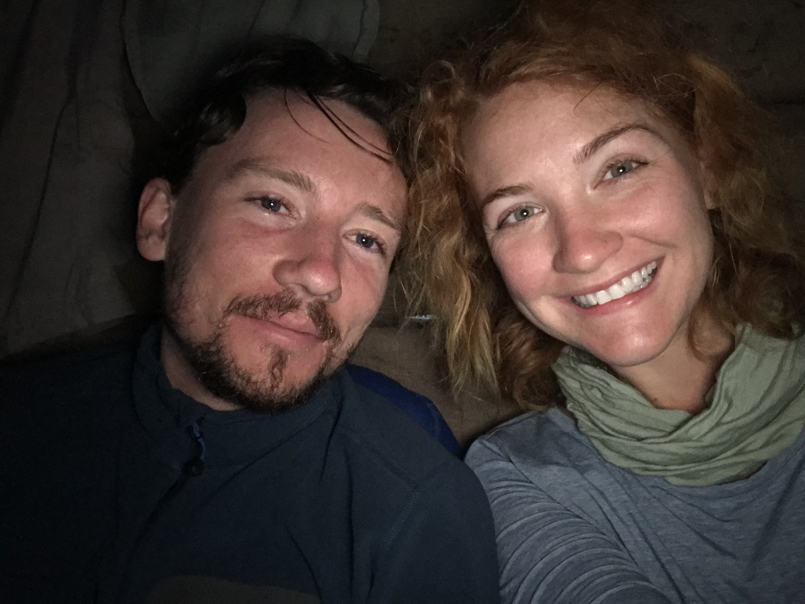
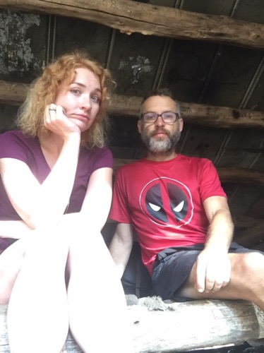
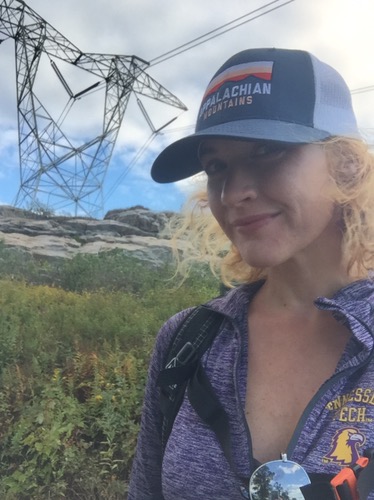
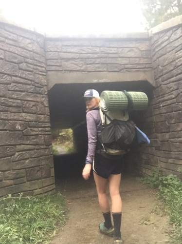
Good thing, too, because we had to book it to meet our shuttle on time. We went so fast, this picture is blurry.

Bookie picked us up, and after more McD and showers, we repackaged our resupply and are ready to stretch until our muscles will let us sleep.

Tomorrow, back up to the whites. And the beginning of the Presidentials!

Miles: 17

MVP: that climb up!

LVP: that climb down!

****

7: The Notch to Garfield Shelter

It was hard to leave The Notch. I know I’m all about those woods, but hostel life is fun too. We had a very grumpy guy at the McDonald’s, our morning pancakes, stories and chill time with Bookie, new people coming through…hostels are an adventure too!

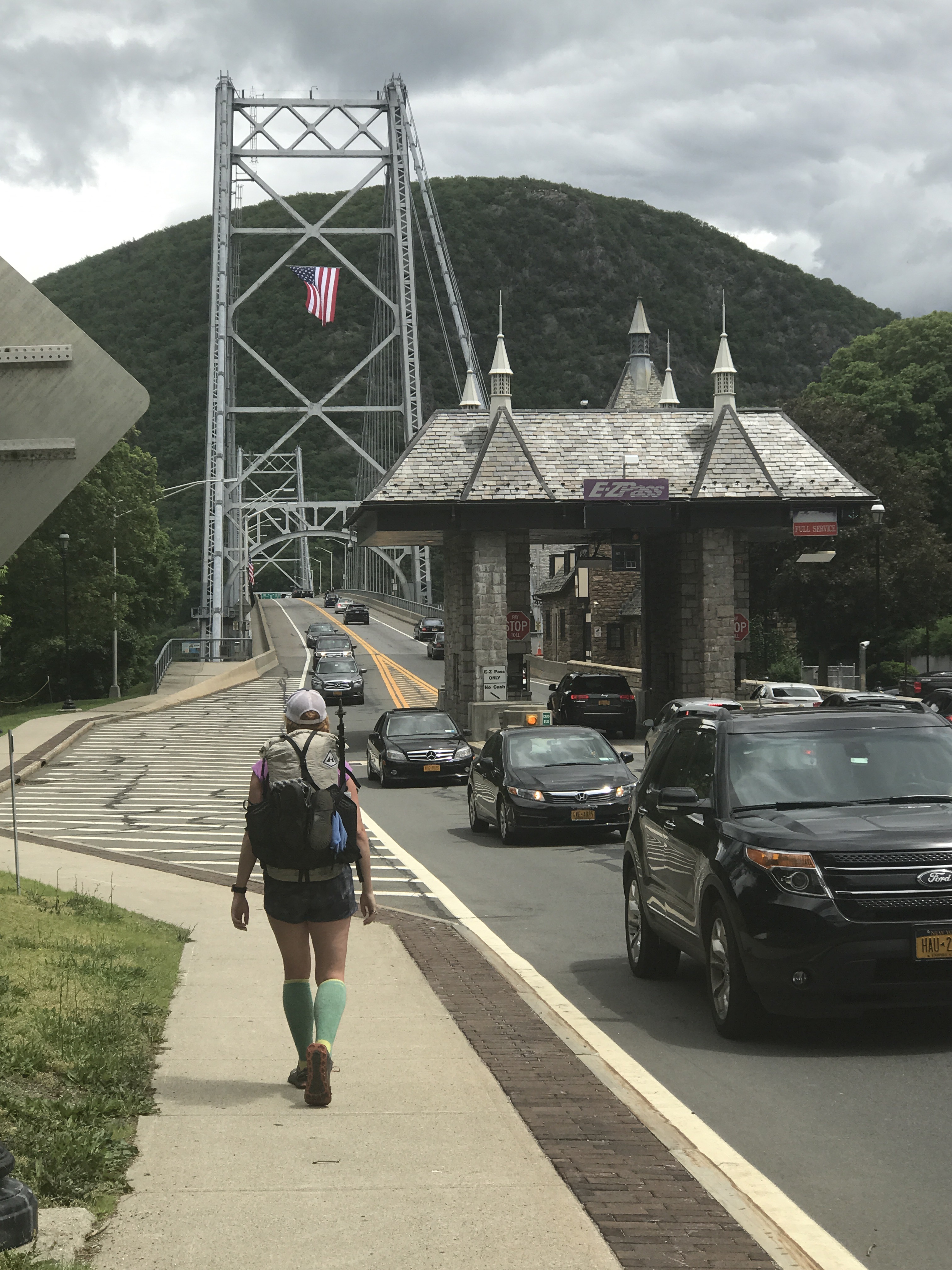
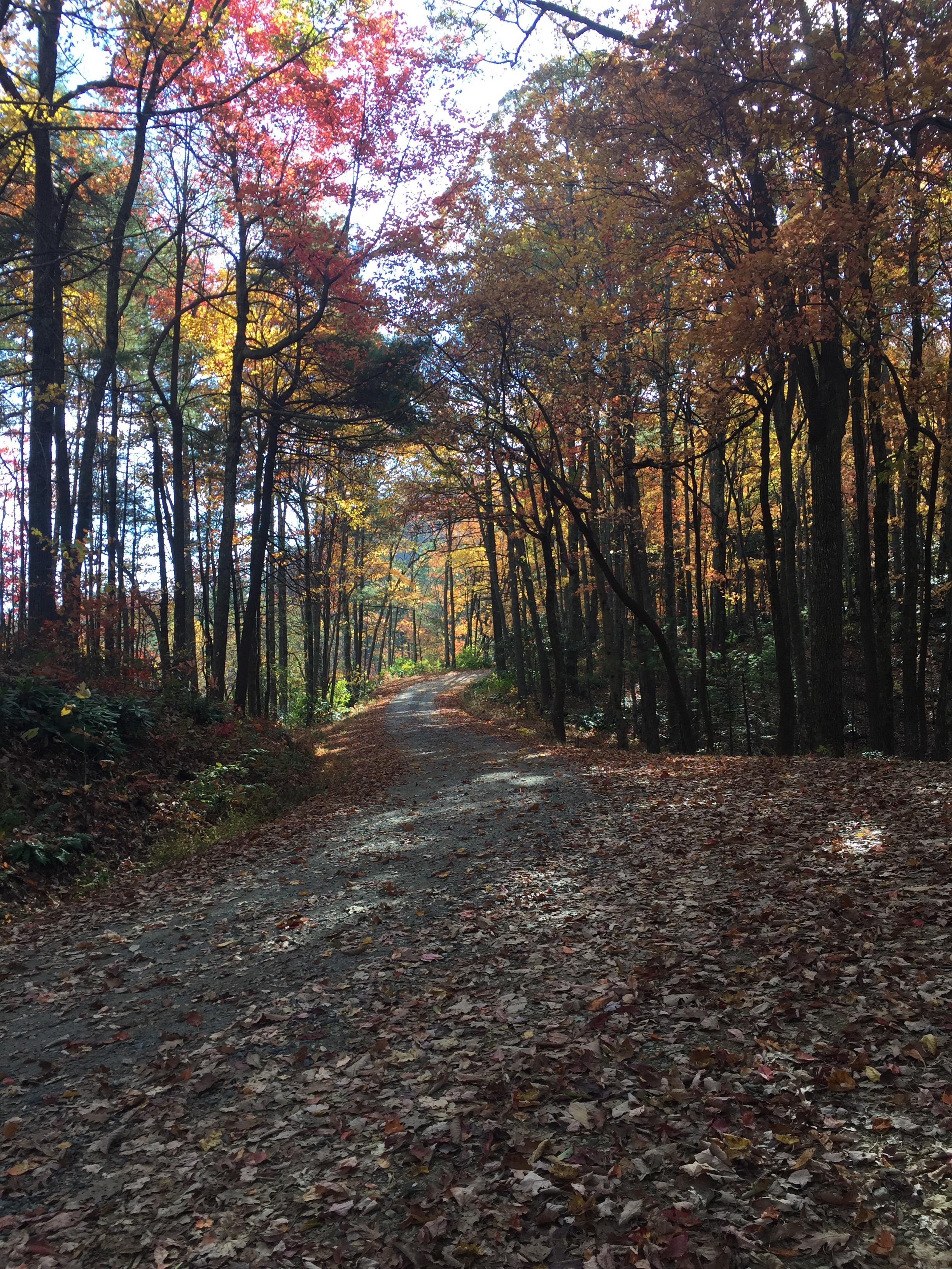
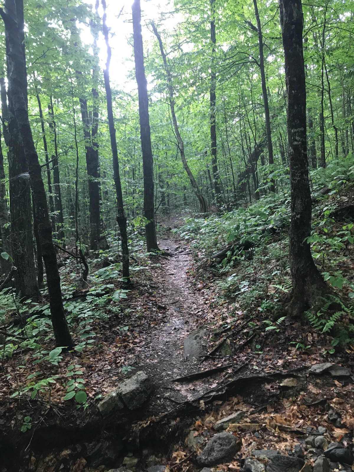
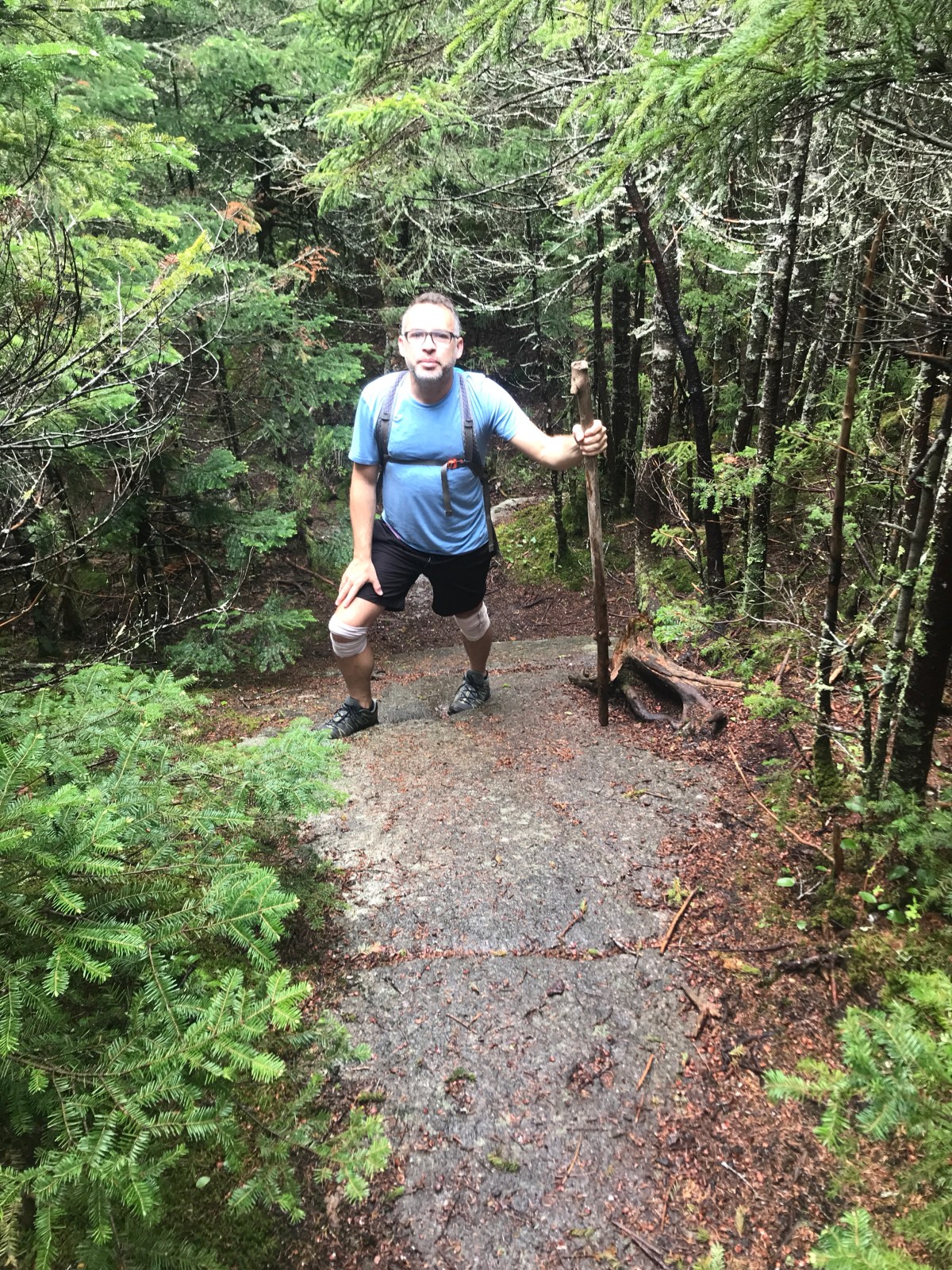
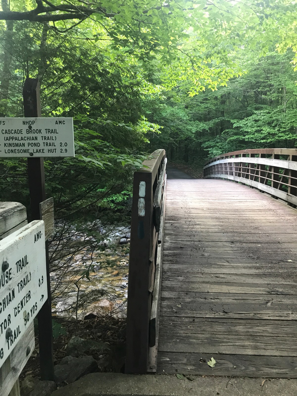
But bookie drove us up to Franconia Notch and we said goodbye. We hiked the mile on the bike path, then started up to Mt Liberty.

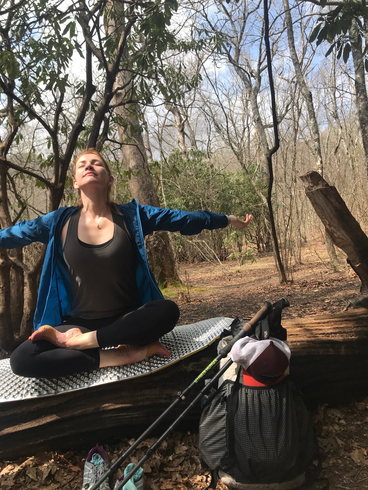
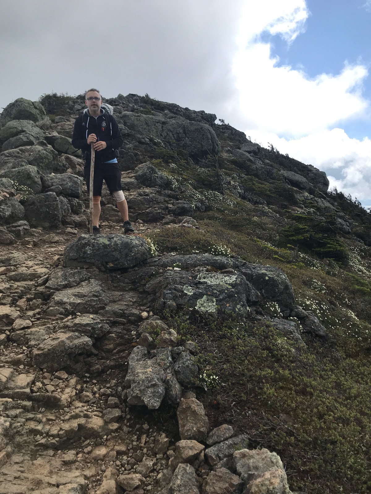
It was a long slog, but not too technically difficult, which was nice. We dropped our packs and took the .3 blue blaze to the Mt liberty summit. Great views!

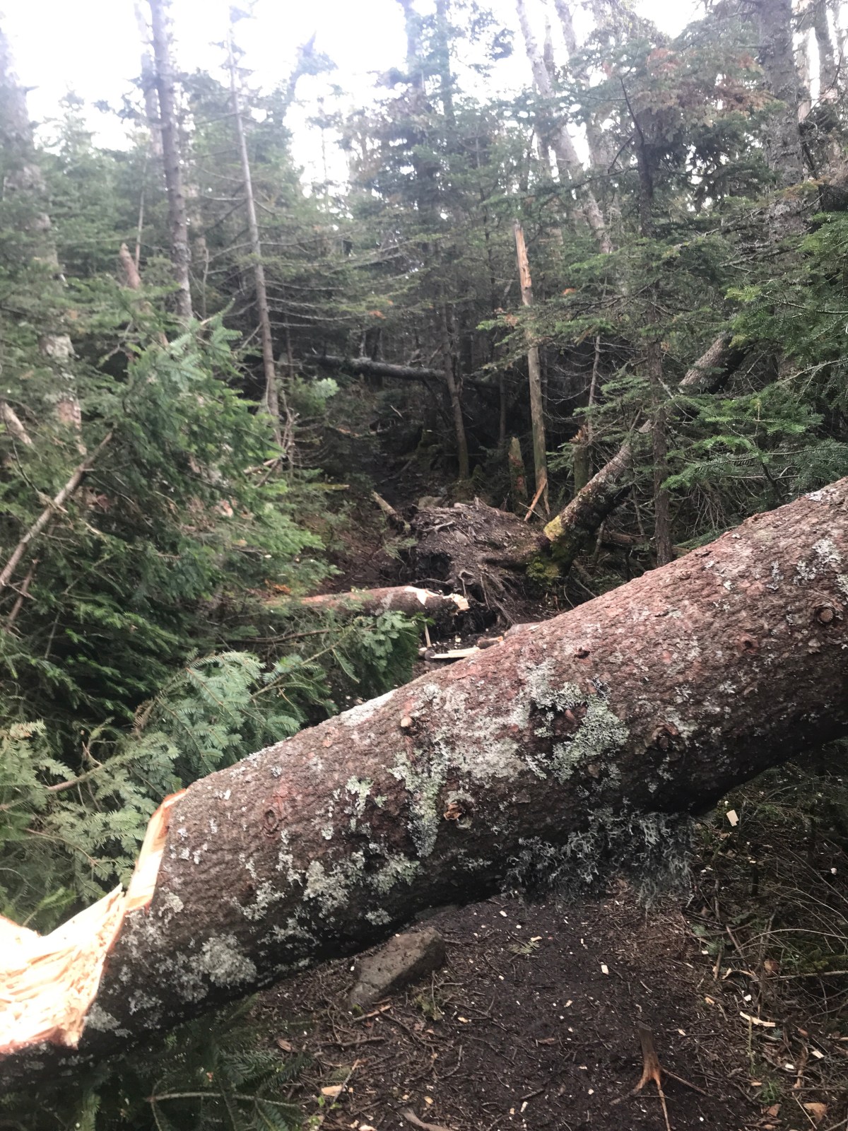
Back on trail, we soon hit what Bookie described as “pick up sticks.” 60-70 giant trees downed in a huge storm in October. We clambered and limboed and scooted around, under, over, and through.

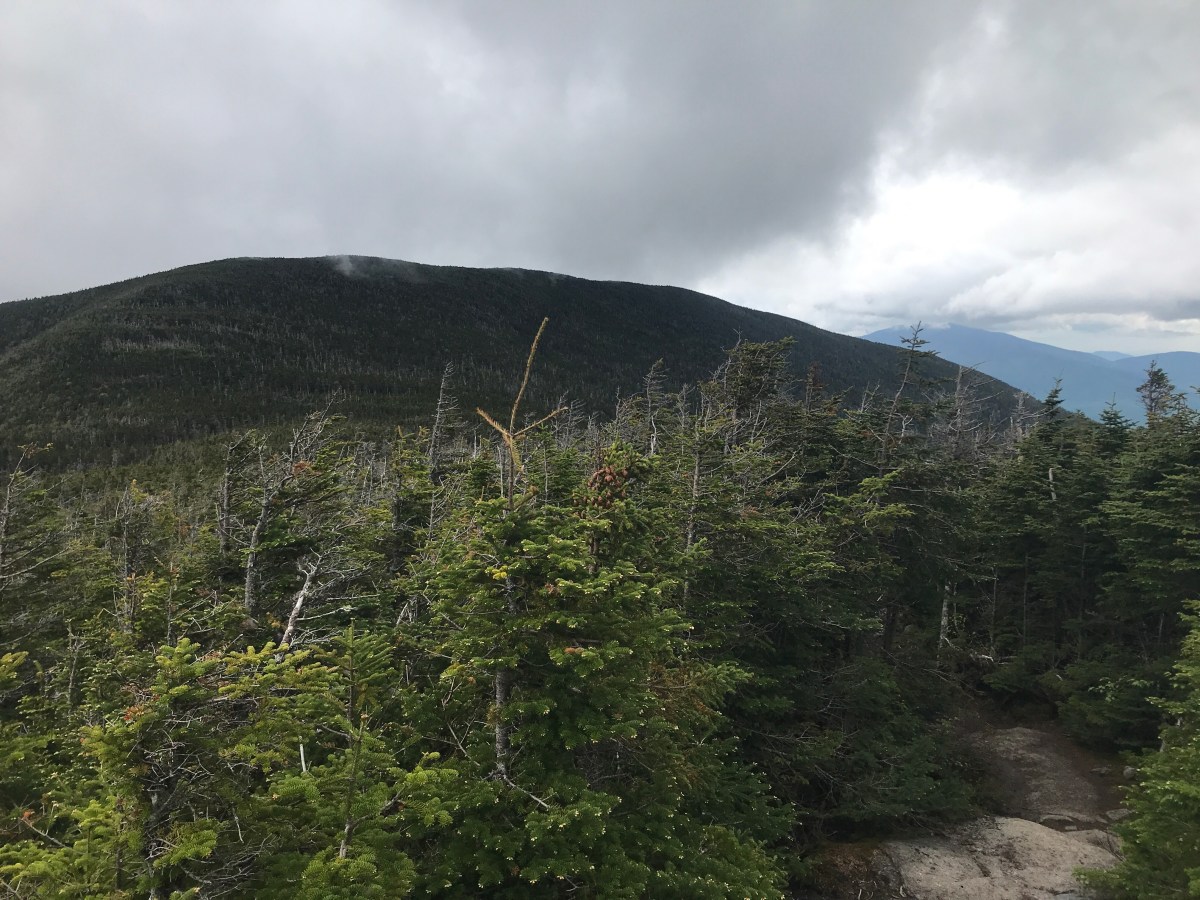
Once we survived that, it was time to climb up Little Haystack. We could see Mt Liberty and the entire ridgeline we’d just walked. It’s incredible how far away things seem. That was only a mile or two away!

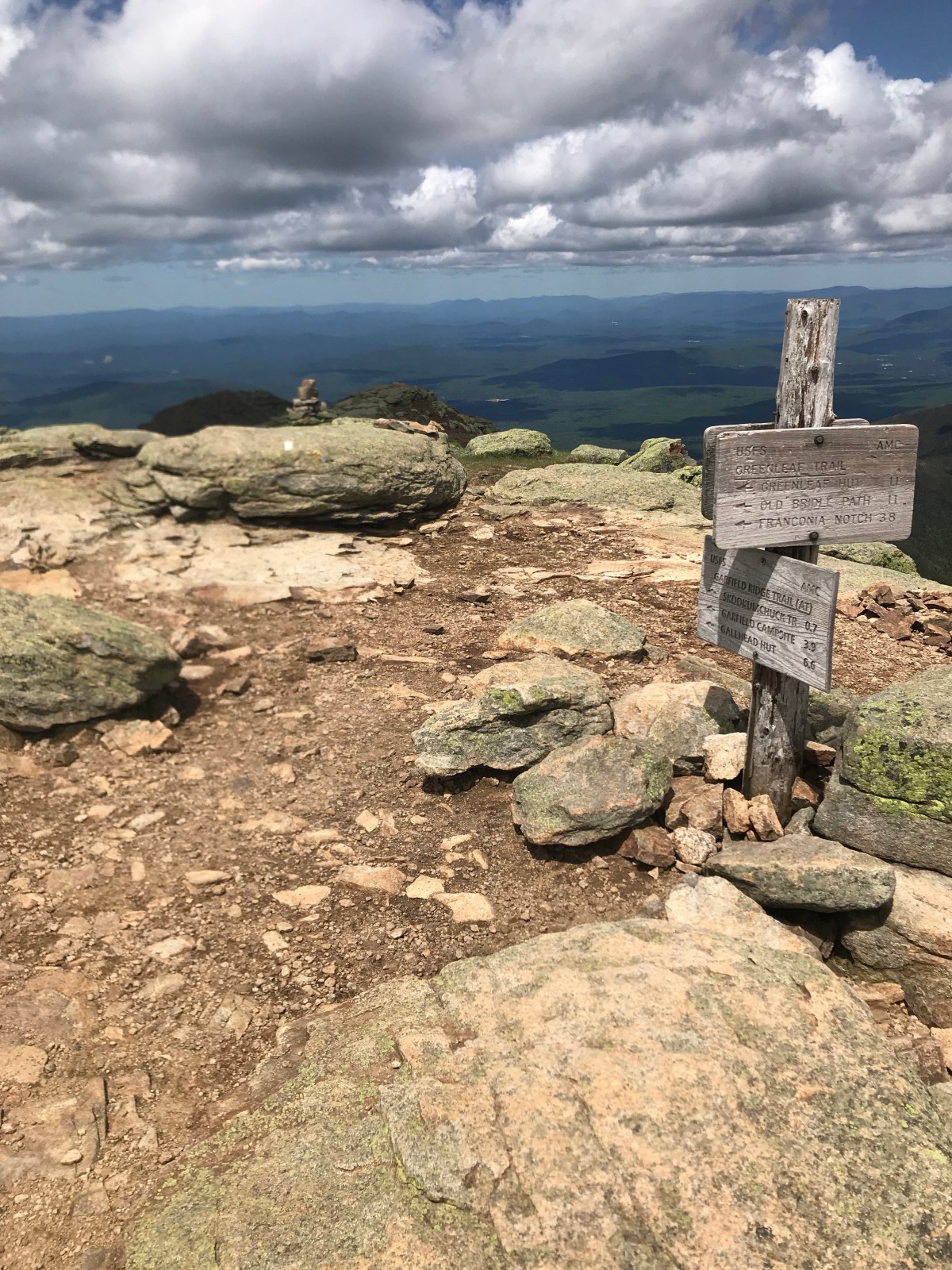
From Little haystack up to Mt Lincoln.

And from Lincoln up to Lafayette. The views were amazing, and the wind was fierce.

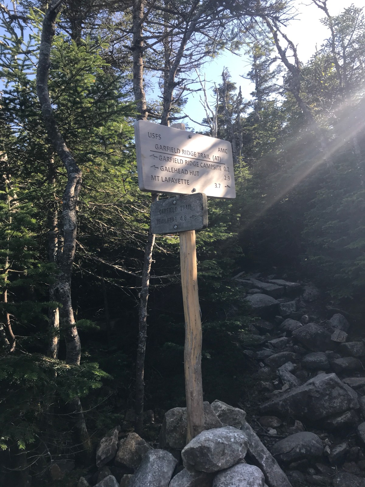
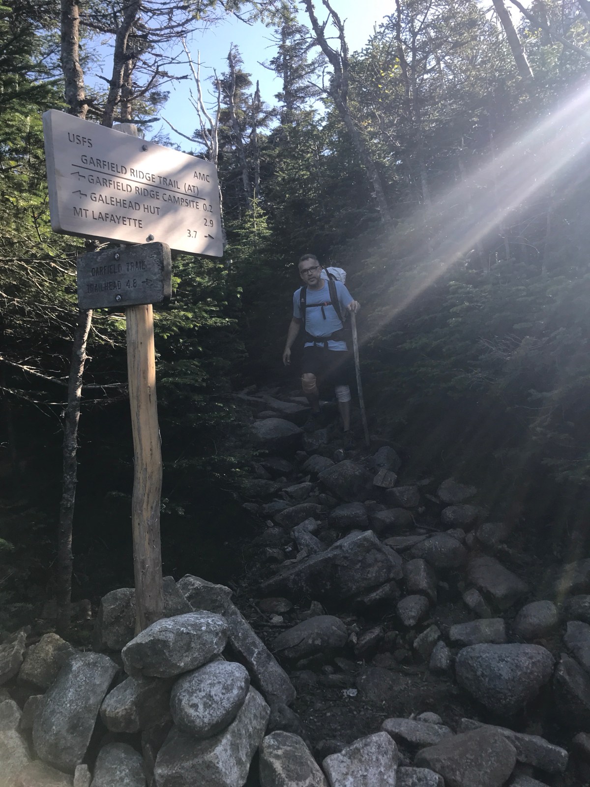
A long, slow descent that was not at all kind finally put us back in the tree line. We dropped down and then went back up to climb Mt Garfield.

We barely stopped, then started down to the shelter. We were tired. The 17 yesterday and all the rocks today had drained us. Our knees were tired and we were hungry.

We set up at the shelter, paid our $10 each, and settled in for an early bed.

Miles: 10

Trip total: 79.3

MVP: sour punch straws

LVP: knees

Standing Indian Loop

I’ve had a lot on my mind recently.

Since I last hiked (NYE with French Dip), I’ve been a weekend waitress, done a (sort of) big presentation at work, gotten back in the gym, and spent a lot of my pizza server money on new gear.

I wanted to get back into lighter pack weights, and I wanted to develop some new skills. Lighter socks, a tarp and bivy, a new quilt, new headlamp…all helped me drop my baseweight down to about 10 lbs. that’s…kind of impressive for me, haha.

I wanted to get back to that feeling of invincibility, the utter confidence I used to have in myself.

So I set out early this morning for a 25 mile loop on the AT, the Standing Indian Loop.

There are lots of ways to do the loop, because there’s lots of different side trails that all lead back to this same campground. I started out on a loop based off of This (rmignatius.wordpress.com) blog post.

Actually, if I’m being honest, I read all of that guys posts about this loop a week or two ago, then didn’t screenshot anything, so when I got to the campground this morning and had no service, I just picked the trail that sounded the most familiar.

And the Kimsey Creek Trail *is* beautiful. If you start at the backcountry information lot, you’ll do a brief walk through the woods, then cross a road. The trail continues on the other side of the bridge. Within that small wooded section, there’s a few spots that may hold a small tent. Not much though.

You mostly follow the creek up the mountain to Deep Gap on the AT. It’s about 3-4 miles, I think. Here are a hundred pictures of the gorgeous creek.

I made a note : about 40 minutes in, 1.4 miles from Deep Gap (ish, I don’t think that’s terribly accurate at all, come to think of it) there’s a great spot for several tents in a grassy area.

At Deep Gap, I skipped some trail magic and started hiking. It felt good to be back on trail. I have started a regimented weightlifting plan, and promised myself I would quit doing legs and shoulders on fridays. I could feel my sore muscles with every step! It was nice, though, to feel which muscles were activating as I hiked.

I stopped for lunch at Standing Indian Shelter. I chatted with two thru-hikers and then headed on my way. It’s NOBO season, and the trail was a little crowded.

I added the eyeballs.

Kimsey creek trail had been green and lush. The AT here was…black and brown. Not much was blooming, and the smell of old smoke hung in the air, another reminder of past wildfires.

I stopped for a break at Beech Gap. The tent sites here are spacious. I spread out my z-lite and soaked in the sun. A little trail tree yoga finished up my break.

My foot may be healed, but I am not in trail shape. My hips and back were tight, my feet aching. I’m going to have to work hard to be ready for New Hampshire in June.

I decided to set up at Carter Gap Shelter. The shelter was full, but there’s loads of tent sites and this gave me the opportunity to spend more time renting AND to test out some new gear. Here’s half of me setting up my tarp. Sorry you can’t see the other half. I’ll do better next time 🙂

I had dinner in the shelter with a bunch of hikers. It was a good laugh. But now I’m snuggled up in my toasty quilt, clean socks on my feet, and soft earth under me. One single bird is still calling. The wind is rubbing some trees together, and I can hear the movement in the leaves. Everything is calm, though, and ready for night. I am too. I haven’t been sleeping well, and I’m hoping the physical exhaustion and the wind that sounds like waves will help me sleep well. If not, there’s always Benadryl.

I feel content. The bag of goldfish that I brought gets some credit, but the rest, I think, is a day walking away. Walking away from doubts and worries and little annoyances. It’s good to be back home.

Miles: ehhhh 12.5

MVP: pink lemonade drink mix

LVP: feet, as usual

*****

Sunday

So, I mentioned that I switched up my gear. Instead of a single-wall TarpTent, I now have a tarp and a bivy. Actually, I have a giant tarp and a small tarp, and a bigger net with bathtub floor and a small sack that zips over my face.

This weekend, I took the small tarp (MLD Grace Solo) and the Small bivy (Borah Gear cuben bivy). I thought I had done pretty good with my site selection, but there’s always a learning curve.

I woke up around 3am to very, very heavy rain. There was some splash back, but for the most part I was dry. I scooched down into my bag, away from the netting, and went back to sleep.

I have to say, my new quilt is astoundingly warm. It wasn’t a super cold night (maybe mid 40s?) but I was only using a torso-length foam pad, and my new Hammock Gear Burrow 20 quilt was soooooo comfy and warm and delicious. I loved snuggling into that.

So anyways, the point is that I need to work a little on my tarp pitches, but it was fine because my quilt is awesome.

I got up and was packed within maybe 10 minutes? It was impressive. I walked over to the shelter to see if I could use the privy but everyone else was already up, so I just started hiking. The woods are my privy. Just…with no roof 😦

It rained all day. I was wet and cold. My leggings were comfy but utterly soaked. I put away my hiking poles, started an audiobook, and walked on.

There are few pictures of today. Mostly because my fingers were too wet to use my phone and it was generally too wet to stop. The entire trail was a stream. I’m not kidding.

This went on for 12 miles. I got to Glassmine Gap and took Long Branch Trail down to my car. It was a nice trail, and my pack was light enough that I even managed some light jogging (dog trot?). It felt good to move so confidently and quickly.

But I was still glad to get to my car.

My legs were covered in mud, so I dug out my sleep pants from my pack and changed as much clothing as I could. Next time I’m keeping dry clothes in the car.

My knees are tired. My shins and ankles are sore. My shoulders were unused to my pack. But two days, talking to people, stretching my legs down the trail… I feel like myself again.

I can’t wait to do it again, rain and all.

Miles: ehhhh 13?

Trip total: 25? 26?

MVP: me

LVP: ☔️

I-77 to VA 623

Friday

After a blissful day of working from home and reading what is, perhaps, the world’s dumbest book to two classes of elementary kids, I set off for Virginia in my new-to-me little Prius C. It started snowing somewhere around Charlotte, and my speed slowed to a crawl as everyone on the interstate tried to see the lines painted on the road. Well, not a crawl, but the fact is it took me about an hour or two longer than it should have to get to Virginia.

The plan was to park at I-77, mile 590.5, and do an out and back to VA-623. I didn’t want to bother with a shuttle because 623 is a super scary mountain road, and I knew we’d be getting snow. It just didn’t seem like a great idea to try to drive down that road in snow.

So I arrived at the I-77 trailhead in the dark. I parked at the parking area about a mile and a half away from where I needed to start walking, since it was off a side road and much quieter. I had intended to tent, but in the dark and the small snow flurries, I just didn’t feel like trying to find somewhere flat. I moved my milk crate of PPE for work into the front seat, laid down the back seat, and curled up in the trunk area of my little hatchback.

I was chilling out on my phone, playing a little candy crush before bed, when I heard NOISES. First came the “ca-CLUNK.” I laid still, turning the screen off on my phone, listening for anything else. Nothing. I peeked out the window and saw nothing in the flashing yellow lights of the “BRIDGE OUT” sign next to my car. I laid back down, scrolling through twitter. As I was about to drift off to sleep, eyes heavy after reading through a writer’s 10-step Korean skin care system, I heard another noise. It sounded like a largeish animal skittering on top of, or perhaps under, my car. I stilled, listening for anything else. Nothing. I googled “Prius C makes noises when off.” After scrolling through a few Prius forums (why are there so many?) I was reassured that my car just makes noises. I went to sleep.

*****

Saturday

I woke up in the dark to snow falling all around. I convinced myself to get up, make coffee, eat breakfast, etc. It was cold, but not outrageously cold. I had slept pretty well. While I sipped on my coffee (a delightful blend of Starbucks Instant Vanilla Latte and hot chocolate with marshmallows, so….barely coffee), I consulted the map. A 1.5 mile roadwalk that I’d already done, and then 16.2 miles to VA-623. It looked mostly flat, except for a few climbs under 500 ft and one big one, at around 1500 feet over three miles. Nothing tooooooooo terrible. But I knew I didn’t want to do the dumb 1.5 mile roadwalk again. I’d already done that, and I didn’t want to do it in the dark and snow. I drove up to Bushy Mountain Outfitters and asked if I could park there. A woman told me where to leave my car, and I was on trail by the time the sun was barely lightening up the sky.

The first bit of the walk was actually up a gravel access road for a bunch of power lines. That was a very pleasant walk! I was warm, still sipping my “coffee,” and it was nice to just stroll along the road. The trail went into the woods after a bit, though, and it was still a nice, mostly flat walk. The snow kept falling, and I was happy.

I didn’t get any good views, mostly because it was a foggy, snowy morning, but that was ok. I love the snow.

I cruised along, really loving this section of trail. Not a lot of water, but enough.

I stopped for a break at Jenkins Shelter. There was a creek about .1 or so before the shelter, and there was an odd tent there. I didn’t see anyone around, and it’s kind of unusual to set up camp at like 12:30pm, so it was just weird. The shelter itself was musty and had some blankets and stuff left by some weekenders. There was also a lot of evidence of a very active bear – the wooden bridge across the creek was absolutely destroyed with scratching. A poster at the shelter confirmed my suspicions. This shelter was not a great option for a place to stay tonight. But it would do fine for a lunch break.

I took off my shoes and socks to let me feet dry out some. This weekend, I’d opted to switch to a pair of Hoka One One Mids. These boot-ish trail runners have a nice compromise on footbox space (not as roomy as my Altras, but still nice), are still zero drop (which I don’t honestly know how sold I am on this now!), and have good traction. I’d considered switching to an old pair of Salomon Speedcross that I had, but the tread was going on those and I really needed a size up for backpacking. So I went with the Hokas, and I was glad I had. The got a little tight after 10 miles or so, but with some more hiking in them I think they’d be great. They’re also my first pair of waterproof shoes, and in the snow, I was glad I had them. I wished I’d brought my gaiters too, but oh well. It worked out well enough, except for some sweaty, damp socks and feet that needed a break.

While everything dried out, I ate some food and tried to drink some water and took my hair down out of the high bun I’d had it in. Lol, that was a look for sure.

I left the shelter after 30 minutes or so, and set out for my last big climb of the south-bound section. It was…rough. Most of the day I felt great! I didn’t feel as fat and slow as I had on my last trip…but when I got to this climb, I was just kind of done. It was a slog. I made it up to the top, tried to scout out my last possible campsite (Davis Path Campsite, down a very steep, apparently not frequently used or maintained side trail, about .4 miles) with water. I wasn’t too keen on going down that side trail, but I didn’t have any other options for water between there and Jenkins shelter.

The last mile was fairly flat, so I picked up my pace again. There were two hikers a few hours (maybe 6 hours? Judging by the snow in their footprints) ahead of me. I tried to guess what kind of shoes they had on. One I recognized the lug pattern of Salomons. The other remained a mystery.

I made it to VA-623. A bunch of hunters sat in their truck. I chatted with them briefly (no, I hadn’t seen any deer) and had a quick handful of chocolate and some water. I asked where they were headed to. Could I maybe hitch a ride with them back to my car? But it turns out they weren’t going my direction, so I started to walk back.

I pulled up guthooks, remembering that there was a hostel just down the mountain. I called and asked if they could shuttle me to my car. If I could get to my car tonight, I could drive down to the little schoolhouse in Atkins and do an out and back in the morning and be completely done with Virginia.

The hostel said yes, and they came to pick me up. As it turns out, I had to wait a few hours for the right car to get back to the hostel (?? Honestly it was all kind of weird) so I warmed up and played with a bunch of dogs and a kitten while we watched a movie.

I got my ride back to my car, paid my very expensive shuttle, and headed off to Atkins, very well pleased with my plan.

*****

Sunday

Another night sleeping in my car, toasty warm despite the cold night outside. And I woke up to even MORE snow! I got dressed for my hike, only taking a few extra layers, water, and food. This meant no tent, no sleeping bag, no extra weight. My pack felt like a daypack! I left off my hipbelt and chest strap, just carrying the weight like a normal backpack. It felt fantastic.

The walk was beautiful and peaceful and mostly very easy.

Before I knew it, I was at Chatfield. Almost a year ago (sometime in February, I think), I had parked up at Partnership Shelter and night-hiked the 6 or so miles to Chatfield shelter, trying to meet up with Sartec, my boyfriend at the time. I had found him and his friend Butcher at Chatfield, and the next day we’d hiked back to Partnership. And of course, the last time I hiked to the 1800s schoolhouse, I’d ended up leaving at 2am after getting freaked out by a weird truck, so I never did the last 1.5 miles. It was kind of emotional, being back at Chatfield, but also I was just…hungry, and annoyed at the bag of trash someone had left.

I made my “coffee” and had some breakfast, enjoying the moment and the snow and the cold air.

I walked back, sipping my hot drink and listening to Justin Beiber’s Christmas album. I used only one pole, and mostly to give that hand something to do. My light pack, the easy trail, it was all just a pleasant stroll.

It’s been a long time working on getting these miles covered. It’s taken me almost exactly two years to hike from Springer Mountain, GA to Hanover, NH. That’s 1,747.7 miles. In that time, I’ve hiked some sections three or four times (Roan Highlands and Grayson Highlands, especially). I’ve hated some of it (Pennsylvania), I’ve loved most of it. I’ve made best friends and broken up with boyfriends, I’ve broken toes and made memories. I think almost every day about Christmas on the trial. My birthdays on the trail. New Years Eve on the Priest. Fourth of July in Pearisburg. Weekends spent studying for Dynamics of Machinery or Machine Design while eating dinner in my sleeping bag. Mice and porcupines and bears, moss and balsam firs and meteor showers.

And if you’re worried I won’t be doing much now that I’ve finally finished everything I can possibly drive to…Don’t worry. French Dip and I are already looking forward to our New Year’s Eve hike. 56.1 miles in North Carolina and Georgia.

Trip total: 16.2 + 1.5 up +1.5 down = 19.2 miles

MVP: sweet little hatchback!

LVP: lack of water

Until the next time, my friends!

15-18: graymoor, RPH, Morgan Stewart, CT

Day 15: west mountain to graymoor friary 
A dang whippoorwill stayed up all night crying out. And Cocoa got up at 5am, along with the rest of the dudes in the shelter. FD and I pretended to sleep until they all left, around 7am. We took our time getting around. 


We believe there are two types of hikers: Sip Sip and Zip Zip. I am a zip zip. Sar tec, gonzo, FD…all of them are sipsips. I like to get up and get going in the morning (generally). I don’t cook, my routine is polished, and I pack quickly. I can be on trail in less than 30 minutes if I want to be. Sipsips like to take their time in the mornings. Either can be a fast or slow hiker, it’s just the people who prefer to get started right away vs the people who need to ease into the mornings. 


We hadn’t even got back on to the trail when we had our first wildlife encounter. The shelter is .5 off the AT, and we looked up and saw a stick in the trail. And then we realized it was a rat snake. We clacked our poles until he slithered off into the bushes. 


The trail was nice and smooth with only a few quick rock climbs. Nothing too crazy. 


We quickly made it to the Bear Mountain climb. It was lovely and clearly used by day hikers– steep bits mixed with flat bits and lots of stairs. 


And also there were day hikers EVERYWHERE. Don’t go here on a weekend. 
But at the top we got…you guessed it. Cokes. 


The climb down was even more crowded. At the bottom they had all these signs about trail maintenance. It was pretty neat. 


What a bunch of nerds. 

We then walked around a lake with people EVERYWHERE grilling food. It was torture. 


So we stopped at a concessions stand and bought lunch. We’re actually getting kind of tired of town food. 
Next was the saddest zoo ever, the trailside zoo. The trail literally goes through a zoo. A sad zoo. 


Here is the captive cousin of the snake we saw earlier. 


Here are sad bears below bear mountain. 


And then we crossed the Hudson! Being in public spaces like this you often feel like you’re kind of an attraction too. It’s weird. In the pictures below, you can see the mountain were about to climb up. It’s the big mountain behind the bridge (not actually that big). 


The climb up towards Anthony’s Nose was…rough. Also packed with day hikers, perhaps the stone stairs get easier without your entire life on your back. I dunno. 


We took a long “socks off” break at a tentsite. I may have dozed off. I’m honestly not sure. 


And in short order we were at the Appalachian Market. A few quick snacks (dinner didn’t appeal — too hot) and we were back for the last .5 to the graymoor friary. This friary has allowed hikers to tent and camp here since the 70s. I’m set up on a picnic table under a pavilion next to a ball field. The evening was spent with some dudes assembling a soccer goal for a game that will evidently take place at 7am. Hooray! 


That’s actually good, because we’re hiking 18 miles tomorrow. That’s the next listed campsite on the guide. 


Oh also I took another shower today. In the outdoor, unheated shower next to the pavilion. It was…brisk. But I feel cleaner! 
Miles: 13.1

MVP: switchbacks 

LVP: feet. 
*****  
Day 16: graymoor to RPH shelter 
We heard these strange sounds last night. Like little isolated raindrops. I kept hearing it all day while hiking, too. Was I going crazy? Can I now hear trees growing or the forest decaying?


As it turns out, it’s the sound of caterpillars munching. Those bag worms are EVERYWHERE. they’re constantly falling on you and appearing in random places and getting their dumb silk all over your face. And now I can hear them eating. Ugh. Nature. 


Here’s the thing about New York: it looks freaking easy. “Oh, just a few quick climbs today, nothing over 500ft of elevation change!” 
But in reality, you’re climbing and descending ALL DAY. It’s exhausting. And those climbs are short but steep! You’re winded and your legs are burning and then the next thing you know you’re going right back down, knees straining, and you haven’t even seen anything cool at the top. PUDs. Pointless Ups and Downs. 
So the day was unremarkable, from a photographic standpoint. Hardly any views, nothing really interesting. 


We did get to take a side trail to a beach concession area. We met up with Discount, Guinness, and Nutz there. We had a nice time eating and chatting and cooling off our feet. 

When we left, a woman yelled out, “are you thru-hikers?” She gave us each a little fruit leather treat from a local Brooklyn company. Delicious. 

We had 4 miles to go. We had originally planned on stopping at a tent site, but with a threat of rain, we decided to go to a shelter just 1.3 down the trail. 


It was rough going, honestly. But we made it to RPH where several NOBOs and a new section hiker were already set up. We decided to tent, and that’s when Guinness and Discount walked up. 


So the four of us ordered a pizza and enjoyed our dinner together. And now I’m listening to caterpillars eat while I’m in my tent. 


All in all, a hard day. But still good 🙂
Miles: 18.9

MVP: Sunkist

LVP: feet. Knees. Back. I’m 31 and totally falling apart. 
*****
Day 17: RPH to Morgan Stewart Shelter
When I woke up to a dreary morning, I smiled. It may be cloudy, but it wasn’t raining. And that meant I’d been right and all of those NOBOs had been wrong. A good start. 


It was a short day. I had 25 miles left. FD just needed to get to Pawling. So, once the rain DID start, we decided to reward ourselves with a short day. Only 9 miles to Morgan Stewart. 


We stopped off at a deli and sat there for 2 hours or so. The deli was incredibly nice. Free water, charging around the side, and a great breakfast. We packed out food for dinner, too. 


That’s also when we said goodbye to Discount and Guinness. They were pressing on in order to make it to Kent by Guinness’s birthday. 


While we sat, an older man stopped to chat. He was so nice and friendly and was familiar with the trail in this area, so we got a blow by blow of what was up ahead. 
We left, FD eating his banana nut muffin that had been toasted with butter. He was in love. 


The trail was pretty nice, just as that man promised. We got to the shelter early, but cocoa had beaten us. Carbo came in, and then Nutz. We napped and ate and massaged our feet. It was good. 


Miles: 9

MVP: deli guy

LVP: rain I guess. Or my poor right foot. 
*****
Day 18: Morgan Stewart to Dutchess Motor Lodge (Wingdale, NY)
I woke up around 5. I slowly ate a small breakfast, unwilling to actually get out of my sleeping bag, despite having decided to get an early start today. 


I did, eventually. It was painfully cold and my feet hurt pretty bad. And on top of that, once I got packed up, I had to say goodbye to FD. He only had 3 or 4 miles today, so he was taking a SipSip morning. I, however, had 18, so it was a ZipZip for me. 


I was on trail by 6:30am. 


Almost immediately I stepped on what I thought was a rock but turns out it was just a pile of leaves that quickly sank down into water. My foot was soaked. 


I walked by Nuclear Lake, the site of a plutonium incident in the 1970s

Just a hiker (soon to be at a nuclear plant) walking by Nuclear lake. 

I stopped in at Telephone Pioneers Shelter for lunch, but nothing I had left sounded good, so I just stretched and dried out my feet and grabbed my only snickers to eat while I walked. 


Next up was Dover Oak, the largest Oak Tree on the AT. Or oldest. Or something. 


The trail today was really pretty nice. Flat and dirt for the most part, it was challenging because the dirt turned in to mud. 


But my feet were still hurting, so I took a break at the Great Swamp boardwalk. 


I crossed the AT railroad tracks. 


Headed in to some pastures. 


Battled some mud. 


I’d been thinking all day that this was the first section where I was really ready to be done. I wanted off trail. It’s not ever been like that for me. But as the miles went by, and the pain in my feet…well, that only got worse, actually. But as I got closer to the end, I was inexplicably sad. I reared up listening to a podcast about Whole Foods, for goodness sake. I was clearly emotional. 
And maybe I wasn’t quite ready to leave after all. I was definitely ready to be dry for a bit, but I don’t know. 


So I made it to the Connecticut state line. I finished Pennsylvania, New Jersey, and New York. 


I hitched to Wingdale and got a truly crappy motel room for the night, hoping I could improve my smell situation before the next day. 
I texted my friends Nikki and Catherine. I basically started out this trip as if I’d never hiked before. That’s how out of shape I was. Pennsylvania made it even worse, with the rocks beating up my feet. The tendinitis I’d been nursing since I broke my toe got worse. My shoes started falling apart, and likely didn’t have enough support left when I started. 


So going back to baseline, when last year I’d been doing 25 and 30 miles…well, that was frustrating. 

I did a lot of thinking about next month, too. I’d planned on hiking the Benton Mackaye trail, but…I don’t know. 

First of all, I need to find an apartment ASAP. And I got an opportunity to go help for a week at the summer camp where I used to work. And I’d like to see my family and feel truly prepared to move when July rolls around. 

So, for now, my June plans are…no hiking. We’ll see how it all works out. 

Miles: 19?


Trip total: 238.4


MVP: west mountain view, birthday


LVP: ROCKS. And feet. And knees. 


Until next time, my friends. I love you all!! 

Birthday Girl Update

A lot has happened since the last time I updated. 
We finished our senior design project. 


I helped organize a conference for 60 schools and over 800 volunteers, participants, and judges. 


I received an award at school!


I had lots more fun with my friends


And eventually, FINALLY, I graduated with a BS in Mechanical Engineering. 


I had a few more days with my friends in Cookeville, and then I flew up to Philadelphia. 

Ive been spending a few days with my best friend Dr Anna, and then tomorrow it’s off to the trail. 


What in the world am I doing? Well, here’s a brief summary of the next two months:
1. Hike Port Clinton to the Connecticut border (north bound). This will complete Pennsylvania, New York, and New Jersey. Except for 60 pesky miles in Virginia, I’ll have completed the entire AT except for New Hampshire and Maine (that’ll be about 500 miles left). 

2. Go back to Tennessee for my best roommate’s wedding on June 3. 

3. Go up to the northern end of the smokies and hike the Benton Mackaye Trail southbound. This trail is sometimes Old AT trail, sometimes random trail, and is generally at lower elevation than the AT. It will be hot and muggy and miserable, but it’s about 300 miles, so I can thru-hike the trail before 

4. Starting work! I’ll move to Augusta, GA to begin as a real life engineer. Holy cow! 


I’ve been in school working on this engineering degree for 5 years now. It’s hard to believe it’s over. 


I’ve had such an incredible and relaxing time here with Anna; a woman at the bank even asked if I was a celebrity. 


But I’m ready to get started. There are things I’m worried about– my knees have been achy, for one. The lingering foot pain from my winter hike has never gone away. I’m definitely VERY out of shape. 
Given all of these things, and the rocks of Pennsylvania when I start this hike, I’ll be doing low miles for a few days. Probably 10-15 miles a day until I feel like I’ve regained some strength and have a handle on what my foot will do. But I’ve got new insoles and new KT tape to keep it in line, so…fingers crossed! 


Are you ready to follow? I’m excited to get started, and so glad to have all of you following along with me! 

Day 16-18: calf mountain shelter to maupin field shelter (Christmas)

Day 16: calf mountain shelter to Stanimal’s hostel
Also: Christmas Eve and the end of the Shenandoahs!! 
What’s it like to spend Christmas Eve on the trail? Well, I woke up, and the boys immediately made fun of my hair. 


They were right to do so. 
We had breakfast. Sar Tec gave me some weird oatmeal/ vanilla carnation instant breakfast combo drizzled with honey that was pretty good, and I had that with my tea. I made Popcorn Hat some hot chocolate, and then once the rain tapered off for the most part, we three hikers set off. 
Doc was going to get a hotel and leave a little later, so we said goodbye to him. 
We had some good walking and some not so good walking. Considering the 26 miles we’d done the day before, we were all feeling great. The trail was ok. 


We summited Little Calf Mountain (lol ok sure it’s a mountain). Off in front of us was a bigger mountain with all of these comm towers. “Hope we don’t have to climb that!” I said, stupidly. “We do,” replied Popcorn Hat. 


Well. Climb it we did. 


And then suddenly we were 105 miles away from Front Royal and that theater where we’d watched Star Wars. 
We stopped at a popcorn and hotdog stand to tide us over while we waited for our ride to the hostel (have you ever seen someone make kettle corn? It’s amazing! And also warm!!) and then we were off!
Before the shower


And after, with curls restored, and decked out in hiker box t-shirt


Feasting on Chinese AYCE buffet


Popcorn Hat doing laundry (he could not BELIEVE that I just tossed my pee rag in with all of the other clothes, as if I would do an entire load just for that. And then he touched it to move it to the dryer, lol)

And then we ran to Kroger for some snacks and sat and ate and watched movies. And looked at our feet. And that, my friends, is how you wait for Santa when you’re on the trail. 
Miles: 7.6
MVP: Chinese buffet

LVP: Not a great movie selection. We really struggled after Zoolander. 
*****
Day 17: Stanimals to Paul c Wolfe shelter
Sar tec woke popcorn hat up with a quiet “coochie coochie coo, good morning buddy.” 

I should say, popcorn hat (Ethan) is 18 and hates being reminded that he’s younger than us. He’s also incredibly capable and looks like a mountain man, and hikes with a giant knife strapped to his leg, so that makes it even more fun. He also hates the trail name Lil Popcorn Hat, so I’ve been writing it everywhere. 
It was too freaking hot last night. I woke up sweating. I never thought I’d wish for a nice 30*F night with a cool breeze, and yet here I am. 
I’d been threatening the guys with the Justin Bieber Christmas album, so I bought that in anticipation of the 5 mile hike to the shelter. We walked 2 miles to Waffle House (a. Just a quick 2 miles and b. The things we’ll do for food!). 


As I sat with my trail family and ate a chocolate chip waffle, large order of hash browns, and a side of bacon (with a Coke), I looked around. This was the only place open on Christmas Day. It was us, some single older men, and a few families. Some older couples, some younger families without children. The staff were overwhelmed by the number of people, but they said Merry Christmas to everyone who walked in, greeted the regulars with the same banter they always do, had the same patience for the man with Alzheimer’s… it was hospitality for people with no where else to go on Christmas morning. There were people who held hands and prayed over their meals before eating; a guy with tattoos who took his food to go; a couple all dressed up in a velvet blazer and a silk dress. And us, showered, but in borrowed, mismatched clothes. 
We walked back and stopped at CVS and a 7-11 to resupply. It wasn’t ideal. 
We packed up and stopped at a Sheetz for food to pack out for our Christmas dinner. Back on the trail, I carried a Big Gulp with one hand and balanced a ridiculously heavy pack for 5 miles to Paul C Wolfe shelter. We laughed and joked the whole way. 


We got to the shelter and gathered firewood. Sar Tec spent time trying to get it to light, and eventually did. I warmed up my cheese sticks and fries (I’d eaten a giant pretzel and popcorn chicken cold) and sipped Coke from my hydroflask. We made s’mores over the fire, then tucked ourselves into our little pile of sleeping bags, giggling and laughing about things together. 


It wasn’t like any Christmas I’ve ever had. There were no presents to open, there was no hurry or stress (except a little about where to buy food when everything was closed, but we could have just zeroed and made up the time the next day). I called my older sister and talked to her for a few minutes, and I texted my family, but I was present with my friends, and spent time being grateful that, once again, the trail provided me a wonderful group of men to spend Christmas with. 
Having spent so much time growing up in the church and then working at a church myself, this is the only Christmas I’ve ever skipped Christmas Eve services (that I know of). But I’ll say this much- there was grace at waffle house. And joy around our campfire. And compassion from the employees at CVS and 7-11 who helped me resupply. And hope and love and everything we’re meant to find in the Advent season. 


Miles: 5
MVP: falling asleep to a waterfall, cozy between my trail family, smelling like a campfire 
LVP: bad resupply 
*****
Day 18: Paul C Wolfe Shelter to Maupin Field Shelter
I told popcorn hat once that I would never become acclimated to the cold. It just wouldn’t happen- I was a cold natured person and I was always going to be cold. And it’s true- I’m usually more cold than the guys. But waking up in 30- something degree weather just felt…right. It felt good, sleeping on the shelter floor with just my foam pad again (if it’s not low 20s or teens I don’t bother with the inflatable pad). I didn’t need gloves while we sat around wasting time today (until 11!!) eating. I didn’t even zip up my down jacket. I just sat and ate an entire bag of powdered donuts like that’s what you always do in 35*F weather. 


We were supposed to go 22 miles today, but we didn’t leave until 11am, and then Popcorn Hat fell and bruised his knee pretty bad, and then Sar Tec opened up the skin on the back of his heel again, and the weather was just so wet and gray that we decided to go 16 and get up at a decent hour tomorrow. 


The day wasn’t terrible or anything, and there weren’t really any bad climbs, just some really slick rocks made trickier during our brief night hike- most of the day, and into the night, we were hiking in a cloud or mist or fog or Devils vapor or whatever. And all of the rocks were coated with water and slick, and the light from our headlamps barely reached the ground. It was treacherous. 
But we did get sun for an hour or so, and it was so nice and lovely. 


And I had an amazing lunch of some salami wrapped around mozzarella that I had the genius idea to stick in a tortilla. Tasted like cold pizza. 
Of course, after all of this food (over 1000 calories of powdered donuts, salami and cheese and chips and I don’t remember what else for lunch) I got to the shelter and ate an entire box of velveeta shells and cheese for dinner. Plus a tortilla to clean the pot. Plus a granola bar while it cooked. Plus I finished off Sar Tec’s sweet and sour pork. 
I guess you could say Hiker Hunger has hit. 
Miles: 16?

Trip total: 280.5
MVP: sun

LVP: rocks

A Walk for Warmth (Trip Update)

Hello friends! I’ve just purchased my plane ticket, so everything seems so final now! There’s one last big piece that I want to put in place, though, and for that I need your help.
My time on the trail has given me plenty of time to think. And it’s also, surprisingly, given me the opportunity to reflect on a lot of things. I’m choosing to spend 5 weeks walking in the woods in winter, alone. It may get cold, but I’ll have a great sleeping bag, a stove for tea or even Instant Starbucks lattés, and shelter from the wind every 10 miles or so. My clothes are all top of the line and do a pretty good job of keeping me warm.

The new Green Cocoon

As a hiker, I also receive so much hospitality and kindness, from friends, strangers, and people I’ll never meet. Rides when I’m hitchhiking, trail magic, or a ride to the trailhead from friends (thanks, Dr Anna Foust, who will be picking me up from the airport and driving me to Boiling Springs for this winter hike!). I’ve talked before about how much this means to me– the cold cokes, the coupons for free gelato, the couch to sleep on in a church, the shared bag of candy or foraged ramps.

A free beer from a firefighter at Fontana Hilton Shelter, enjoyed under the hand dryers in the shelter bathroom


Trail magic just north of Davenport Gap

Fresh Ground making fresh ground coffee in the Smokies for the entire shelter

Trail Magic watermelon in New England, right when I’d been wishing for some trail magic to get me through a disgustingly hot summer day

But there are people who don’t have all of those things, or perhaps need hospitality just the same as I do. When I was younger and still figuring out my life (even more than I am now), I was lucky enough to stumble into a job at Belmont United Methodist Church in Nashville. With a lot of patience and grace, the pastors and congregation there helped show me a lot of things, and challenged the way I thought about a lot of stuff. It certainly started me on the path to the person I am now.
One way they did this was Room in the Inn. Room in the Inn does a lot of things (seriously- they do so much to help people), but what BUMC did most often in the winter was to open the doors of the church in order to be a warming shelter. The congregations prepare dinner, breakfast, and a sack lunch for the next day. Volunteers spend time with the guests, talking with them, watching movies, etc.
Room in the Inn partners with over 190 congregations in middle Tennessee (if you’re confused about where I live, that’s where I live now) to provide shelter in the winter. Room in the Inn also provides year- round services at their downtown Nashville location (you can read about it here: http://roomintheinn.org/). The core of this is warmth and hospitality- two of the most important things to me when I’m out walking.
So here’s where you come in: I’ll be hiking (hopefully!) 588.8 miles. I’d like to ask you to consider making a pledge for every mile I hike. I’ll do the work, and I’ll still write up blog entries and post pictures of my journey, but in return for the warmth and hospitality I’ve received in the hundreds of miles I’ve already hiked, and will doubtless receive on this hike, will you help pass that along to another group of people?
I’ll gather your pledges here: https://go.rallyup.com/walk-warmth

If you’d rather, make a one-time donation to another organization. And if you have any questions, please let me know!
As always, I look forward to having you along for the adventure!

Gonzo grilling up tortillas over a campfire;  his advice and friendship got me through my first  solo section hike

Julia driving in to give me and Dr Love a ride from Fontana Dam back to Hot Springs

Sharing my birthday and so many memories with Danger and the rest of Danger’s Rangers (Brew, Red Dragon, Stormtrooper, Stick)

So much help and support from my family- like a ride to the airport from my mom!

Maureen opened up her house to me and Bent in Great Barrington, Massachusetts.

A stranger stopped and waited for me and Bent just so he could give us cold drinks and ask how our hikes were going. 


Then Again: Devils Fork Gap to Hot Springs 

It’s weird to think how much has happened since I first met Bent at that shelter back in Vermont. I finished my NOBO section, hung out with Honeybuns in Hanover, flipped, and caught up with Bent again in Massachusetts. We hiked SOBO together and became fast friends, watching a meteor shower together, picking blueberries, eating sour candies…

And then I went back to school, and Bent kept hiking south. A month or so ago, I went out to Virginia (I didn’t write about this, so don’t think you missed an entry) and hiked a section with Bent and some other SOBOs and a lasher. We caught up again, filling in the details we’d missed between phone calls and texts and snapchats. And I left, and bent kept hiking south. 

And then Saturday, I left my apartment at 3:30am and drove to Devils Fork Gap. I hiked north (slowly) for 3 miles until I ran into Bent. Well, I was stopped on the side of the trail when he texted me and said “why don’t I see you yet?” I replied, “idk I’m being really slow today.” And I started walking and then immediately saw him, so. 


We ran to each other and I gave him water, a grape soda, and a butterfinger (his requests). And then we headed south together. 


We headed south while we talked about our love lives, the trail, my midterms, our friends, musicals, food, religion…Bent and I can cover a million topics, it feels like. 


It was hard to believe how much the forest had changed in just a week. The colors had deepened even more– now we were really in autumn. 


We stopped for a break at Jerrys Cabin and met Achilles and Comet. Comet was from Jacksonville and had someone ask her recently if she knew Honeybuns. She didn’t, but I do! The circle is complete. 
We hiked up to Firescald Knob and sat and wondered what it was about these huge, open vistas that make everyone, no matter where they come from, sit back and appreciate them. I mean, maybe in some cases some people get bored of these big views after a while (ahem, my little sister), but there’s something there, isn’t there? 


I think it reminds us that we’re just a tiny part of something much bigger. And puts our little problems in perspective. And yet, despite how insignificant we are, we’re still so important in the scheme of things. 
Crazy. 
We made it to Little Laurel at dark. I do love a good night hike. We talked, while rushing down the mountain, about how we hoped someone would still be up at the shelter, and there would be a fire, and there would be space in the shelter. 


All our dreams came true. 
No Worries was cooking. A fire was smoldering. A section hiker was still up. Two other sectioners were dozing, but I didn’t worry about them. There was space for me, and Bent had already decided he wanted to tent. We got water and started dinner. 
And then I found out that No Worries used to work at the same company where I co-op and his uncle works for the NRC. Go figure. Small world!
Miles: 3 NOBO + 3 SOBO back to Devils fork + 15.7= 21.7
MVP: bent around the corner

LVP: blisters
*****
Bent and I left in the dark (oh heeyyyy winter) and started our hike to hot springs. 


We tried to go to Mom’s, because Bent wanted a candy bar, but they were closed. I gave Bent my snickers. 


So there’s this one climb. Allen Gap. I remembered it from the last time I did this section. I remembered it being terrible. When we started that climb, I thought, “wow! I’m so much better at this! I am INCREDIBLE!” And then it kept going. And going. 


And going. 
And then we stopped to breathe and pick up our legs that had fallen off and I thought, “wow. This is still terrible.” Some climbs are just always terrible, I guess. 
Anyways, we stopped for lunch at a stream. We got trail magic at one gap- a woman picking up her husband had sandwiches and water and oranges and root beer (I took water because I do not care for root beer). It was delicious and she was sweet. 


We hit up lovers leap. 


And we went to Hot Springs. 


And I said goodbye (after we ate dinner and went to the hostel and Dollar General). Bent will finish his through hike in less than two weeks. I won’t get to see him again before he finishes, but I feel like I’ll see him again some time. 


The hike was perfect. It was hard and beautiful and light and there was trail magic– it was everything I could have asked for in a two day hike. 
Miles: 19.9

Trip total: 41.7
MVP: fried pickles at Spring Mountain Tavern. Those were AMAZING
LVP: Allen gap. You know why. 


Bent and Birthday Girl (the feral). FOREVER. 

Then Again: Elk Garden to Thomas Knob Shelter to Elk Garden

I met Keisha in college…the first time. We were both English majors, and Keisha also took French with me. After we graduated, we lost touch, I guess, but we both ended up in Nashville two years later. I remember meeting her at a bar in East Nashville, nervous to reconnect with someone I hadn’t really known well but had always liked and admired. 
We were both at a point in our lives then where we weren’t quite sure what we were going to do next. Things weren’t always great for us, and we didn’t handle it well, and it was good to have Keisha as a friend. 
Keisha figured it out first–she went back to school to become a nurse. That helped me when I decided to go back to study engineering. If Keisha could do math, I guess I could too, right? 
We kept in touch, even after we moved. I visited Keisha in NYC and we caught up over pizza and beer in East Nashville when she moved back. And when she asked to go backpacking, I knew I had to take her to see the ponies. 
We left early Saturday morning. We got to Elk Garden around 12:30. It was…well, it was cold. There was snow and wind and it was cold. But the hike started out with a climb up into a pasture so we warmed up pretty quickly. 


Once we got into the woods the wind cut down some. Walking through the autumn leaves with snow on the ground, bringing out old memories and laughing about whatever we came up with…it was a great hike. 


We stopped for a quick break, and Ryan and his adorable dog Kenesaw caught up to us. We hiked together to the shelter, finishing the 7 miles by 2:30. We decided to hike on to find the ponies. 


And we FOUND them. They weren’t interested in us though. 


Back to the shelter, where we ate and warmed up and shared stories until night. 


Of course, no shelter is complete without clueless hikers. In this case, it was a group of guys who decided to sleep in the loft with their two big dogs. Watching them shove their dogs up into the loft was…something. 
The wind gusted something fierce all night, but the three of us were snug. Ryan, unfortunately, had the mice. But Keisha and I slept great. 
And in the morning? Well, the three of us headed out. It was still cold, but most of the snow was gone. 


The miles slipped by and we were done before I knew it. I wasn’t ready to go. It had been so easy to hike with Keisha and Ryan, and the easy miles had been a nice break from my usual pace. It was relaxing and peaceful and exactly what I needed. 


Did you notice the footwear? I tried to break in a pair of boots to see if I wanted to wear them this winter. They were warm but not comfortable. These are not my boots. 
Next up? Well, Bent and Wilson Wilson have 3 weeks left on the trail, so I’m going to try to find them. And I’m glad to know that Pennsylvania didn’t completely steal all the joy I find in backpacking. 

Trip Total: 14ish? 7 to the shelter, but probably an extra mile or to to the ponies. 

MVP: bourbon

LVP: loft dwellers 

5: eagles nest to Port Clinton 

There’s something to be said for the internal alarm you develop after years of waking up early for co-op work and early morning studying and gym sessions. I can just say, “alright, let’s wake up early!” And I wake up at 4:57am. It’s handy. 
Of course, that doesn’t mean that I’ll actually get UP at 4:57 am. I stayed in bed for another hour or so, toasty warm with my vest and rain jacket spread out over my legs. My entire body was huddled inside my quilt, which was snapped together into a loose bag shape. 
Ahhh, backpacking! 
The other two people in the shelter were still snoozing, so I packed up quickly and silently(ish) and headed out of eagles nest. 8.7 miles to Port Clinton!


So I hauled myself over the rocks and tried to keep up momentum as best I could. Dear Prudence podcast helped with that. Sometimes I would walk slowly, to try to save my feet the pain of the sharp rocks, but then I thought, “ugh, they hurt no matter what. Rip the bandaid off.” And just went for it. 
The only view was, of course, rocks. 


To give you an idea of what I was walking through, here’s the elevation profile. Everything’s flat all right, I went from the water drop on the left to the blue P, So I only had one little bump that was weirdly vertical to get up, and the rocks. And then…


Then we went down to Port Clinton. 


I may have mentioned that I slipped the other day and caught myself on a trekking pole. It bruised my left arm somehow, and made it very uncomfortable to use a trekking pole with that arm. So I’m down to one pole and I’ve got this descent. Well, as Dr Griggs would say, “just differentiate the durn thing.” You could take it slow and cautious or just go for it. I went for it. It hurt! But I made it. 
And then there were more steps. PORT CLINTON!! 


I swear. 
But I made it. The trees and rivers were stoic against my bitter complaints, and soon I gave up. After all, it was a beautiful fall day, and I had food in my future. 


My car was waiting patiently for me, watching the mountain I’d just tumbled gracelessly down. Appropriate. No mice. 


I drove off. I got food. And, despite it all, I was actually a little sad to be leaving. 


Miles: 8.7 

Trip total: 95.9 (+8.8=104.7)
MVP: mcdo 

LVP: left arm


Thanks for joining me on this one, friends! I think it’s time to have some fun, don’t you?