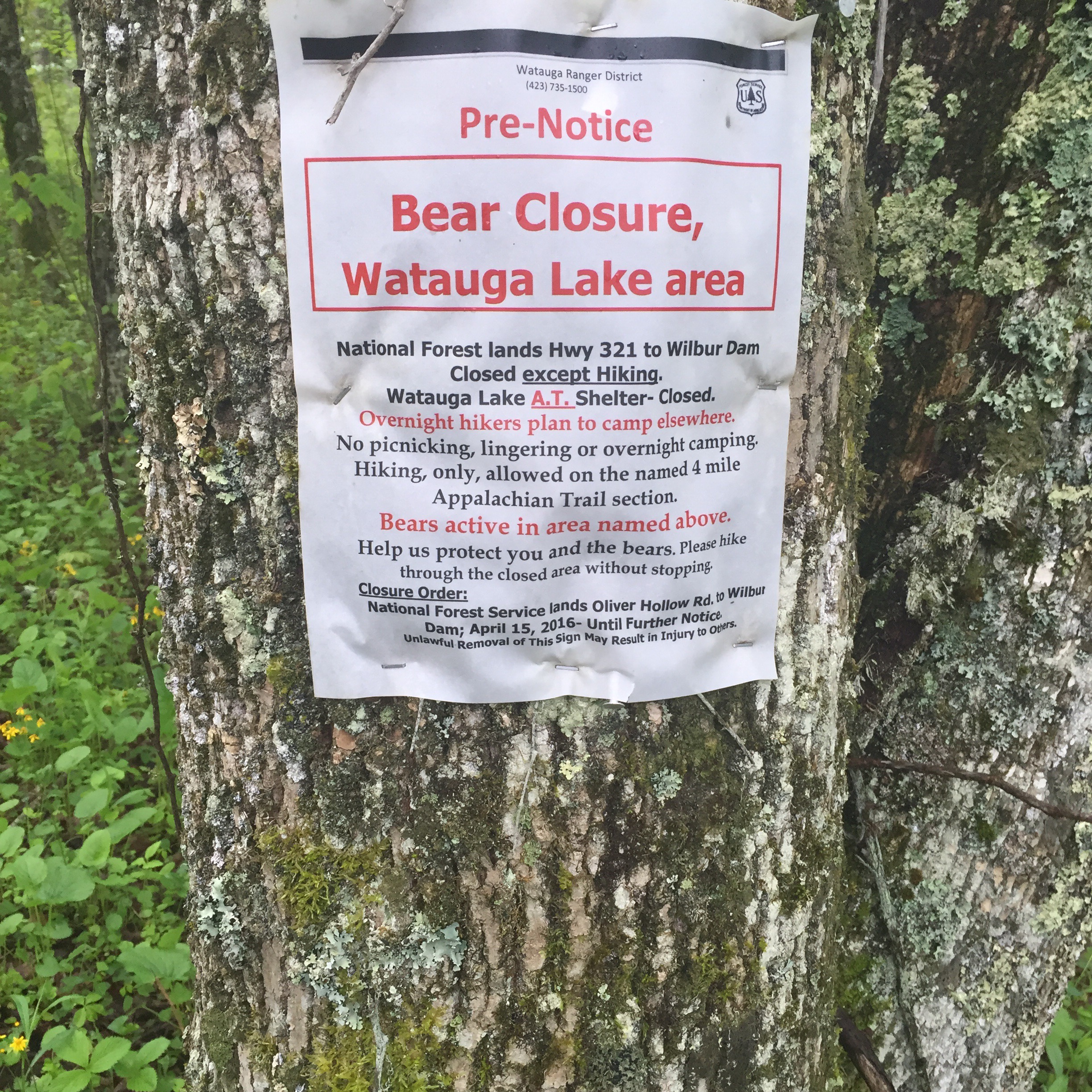
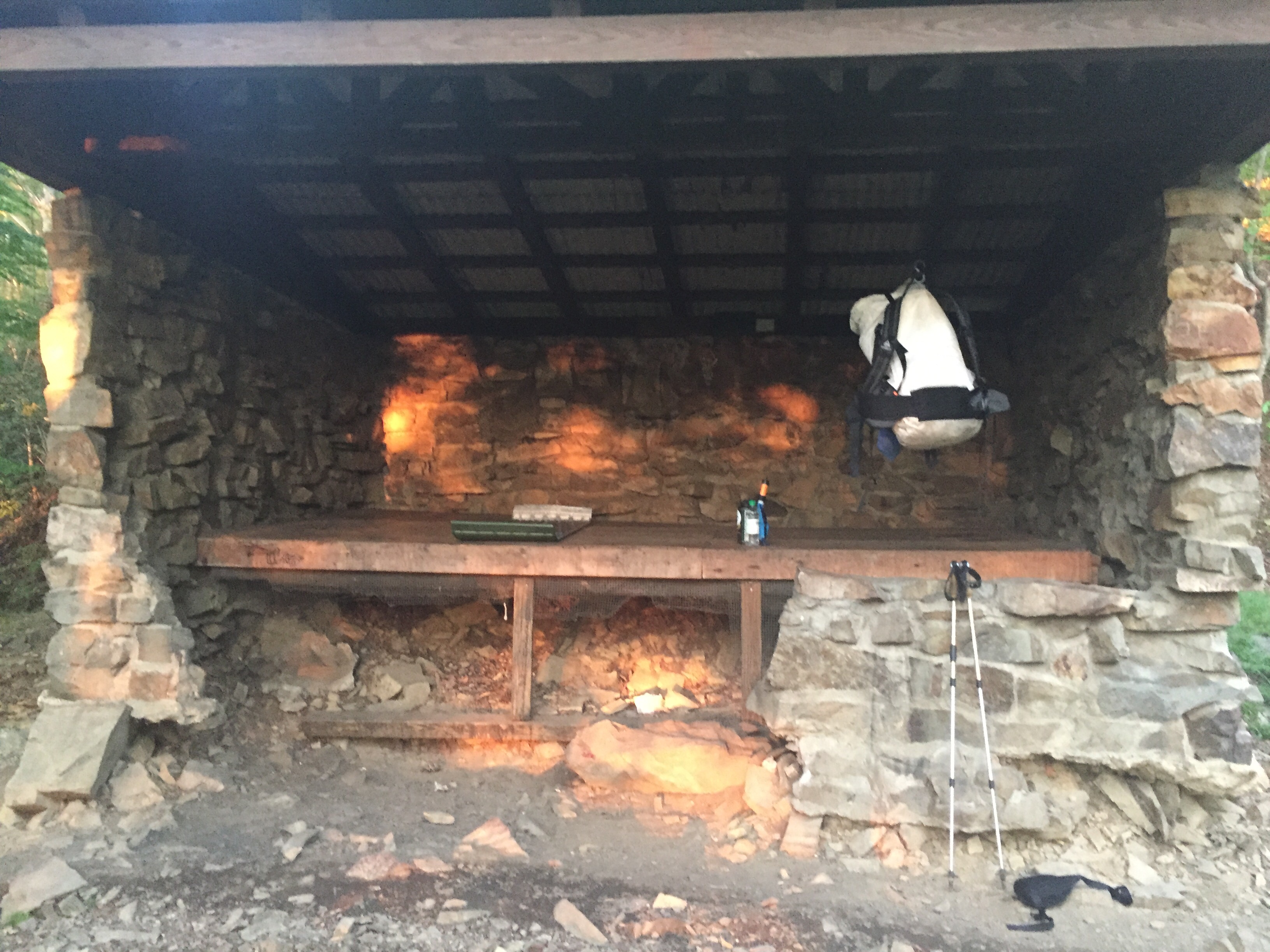
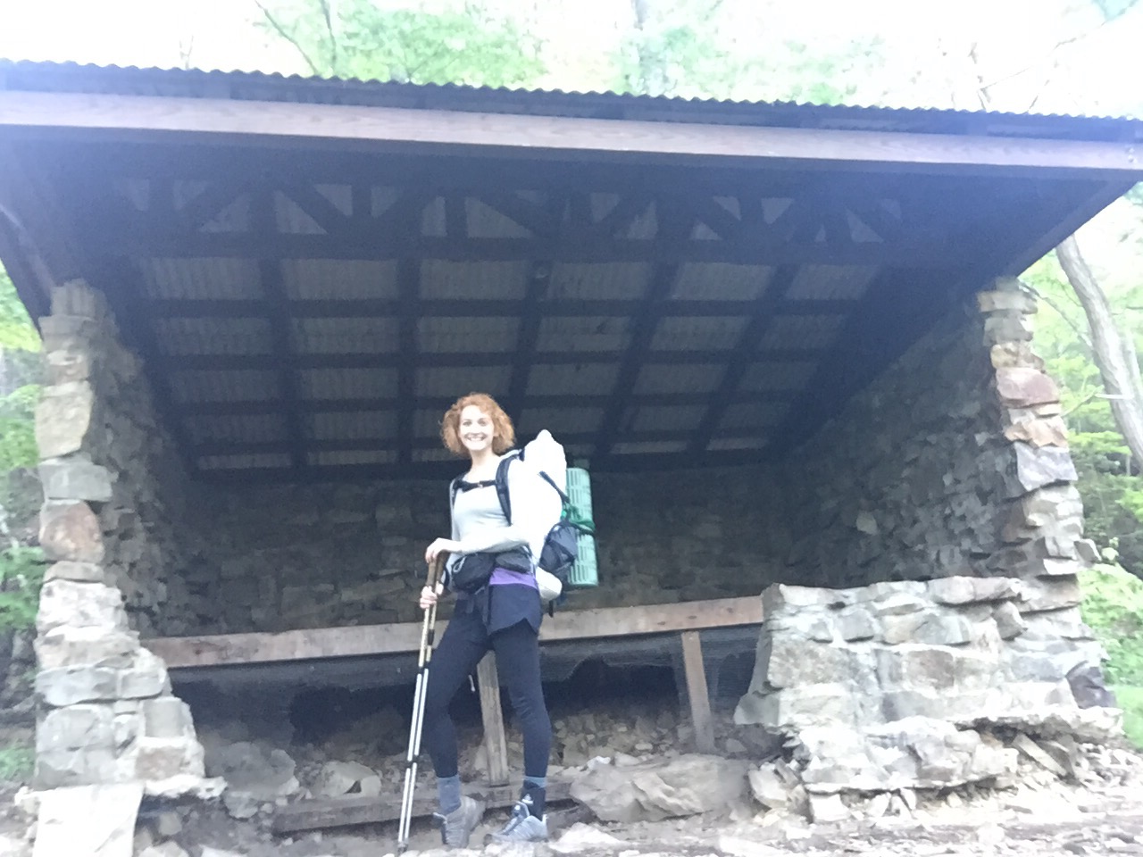
I woke up several times in the night, and had very choice words for whatever animal was living underneath the shelter. Nothing seemed to scare it off, not even flash photography. I do have several pictures of the bottom of the shelter if anyone is interested, though.
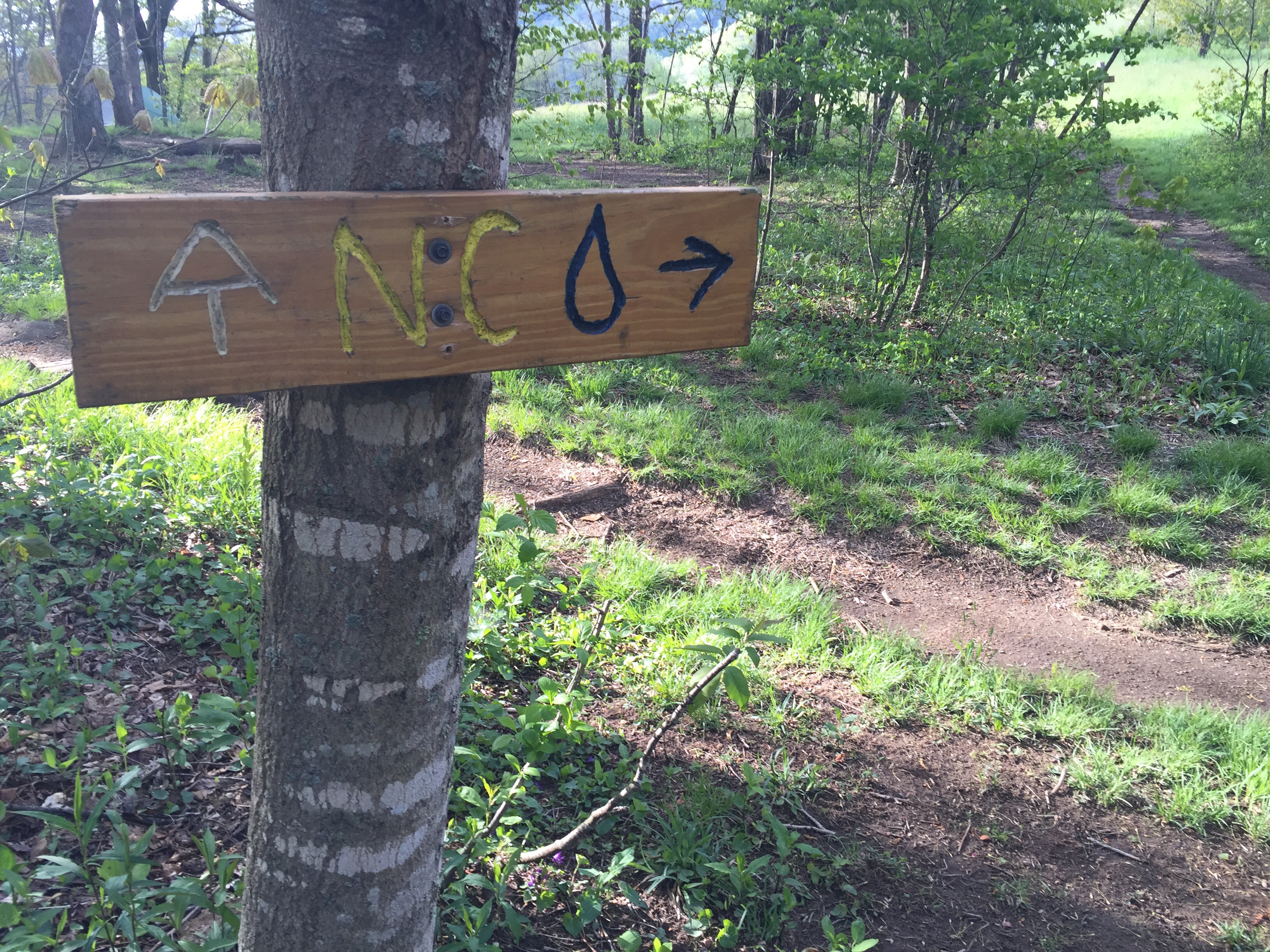
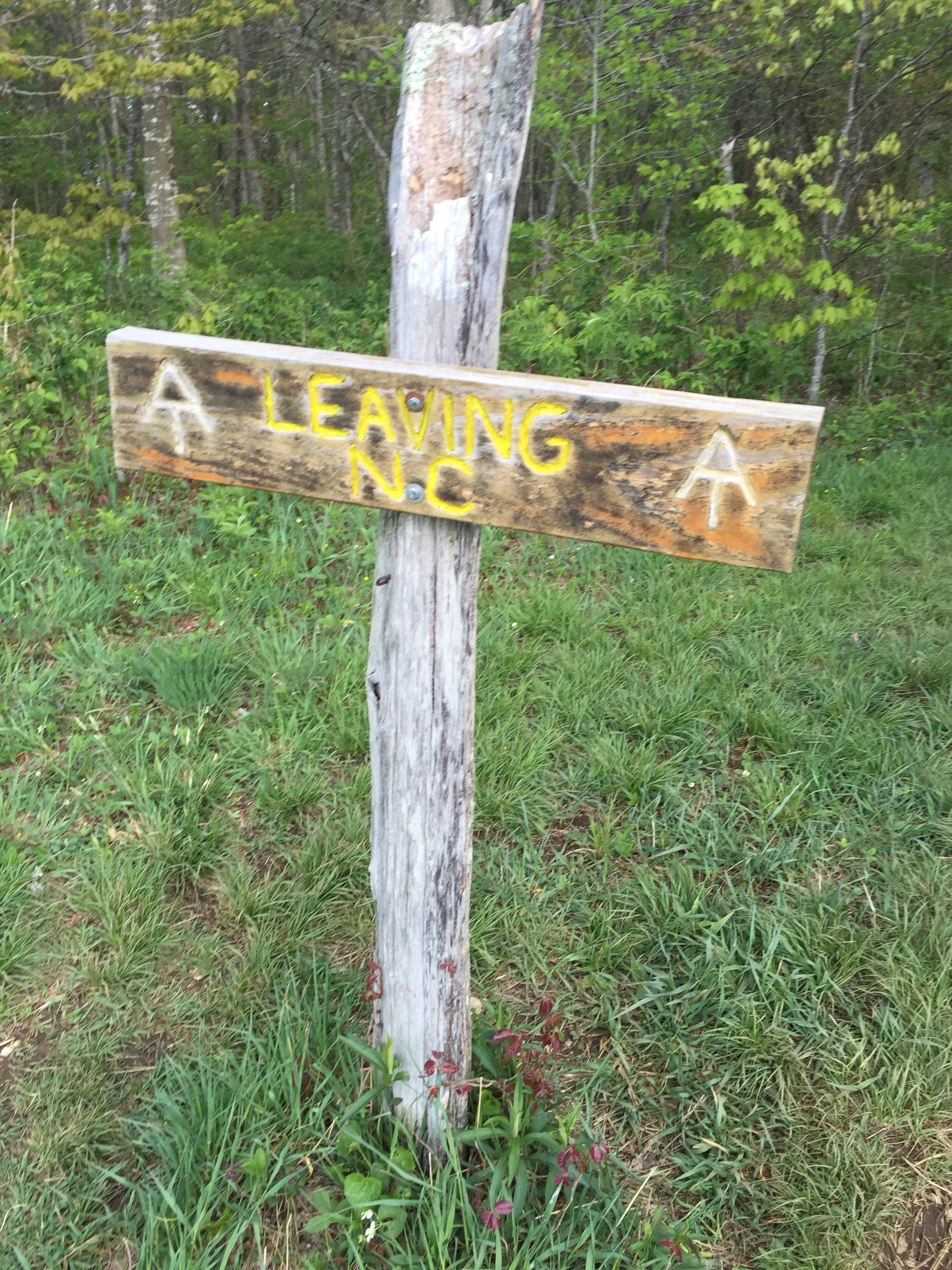
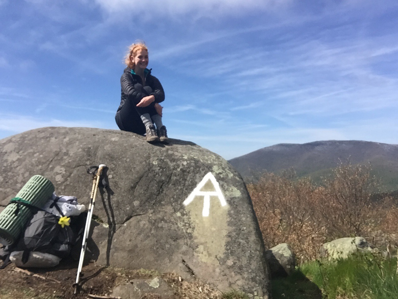
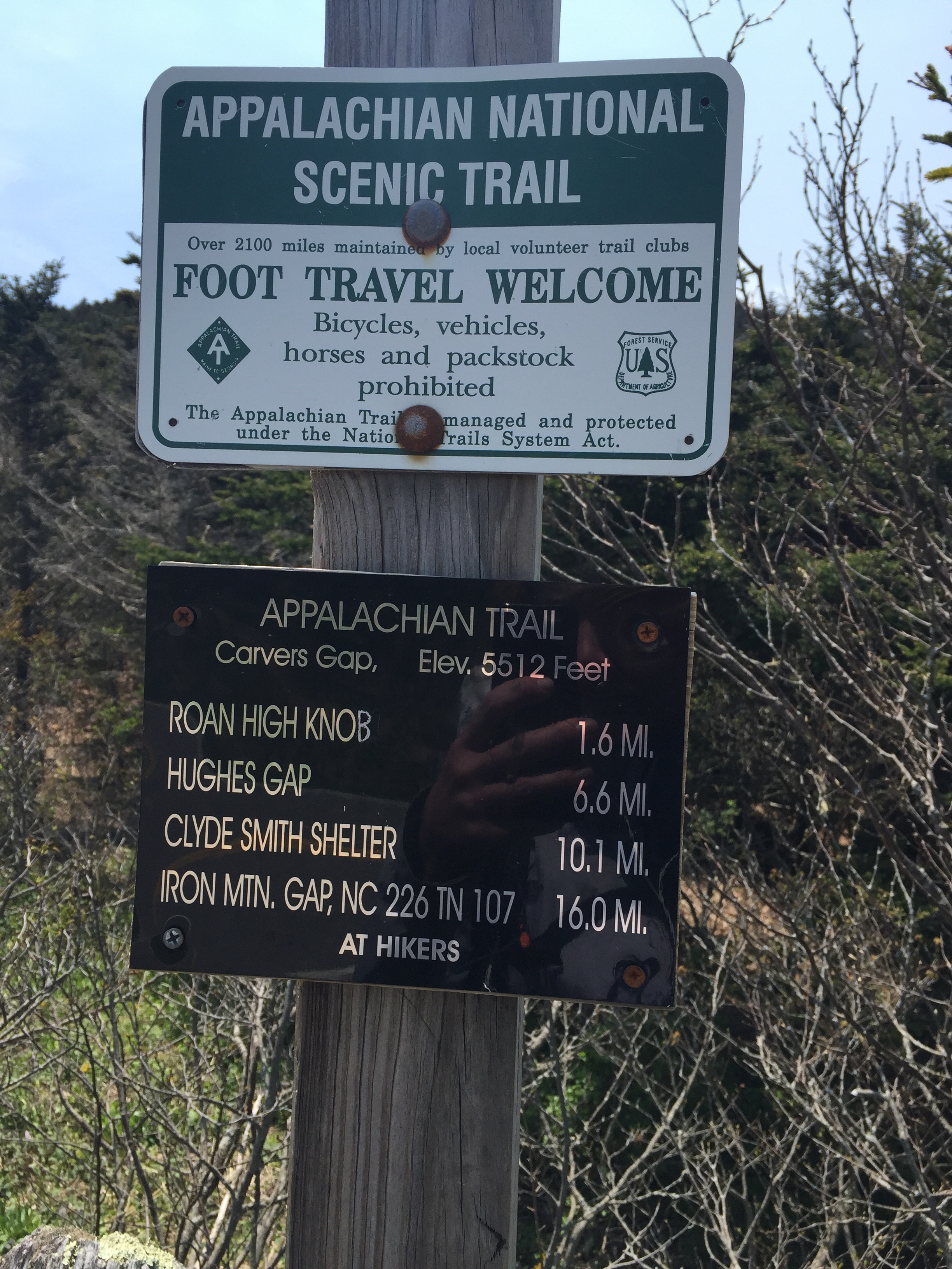
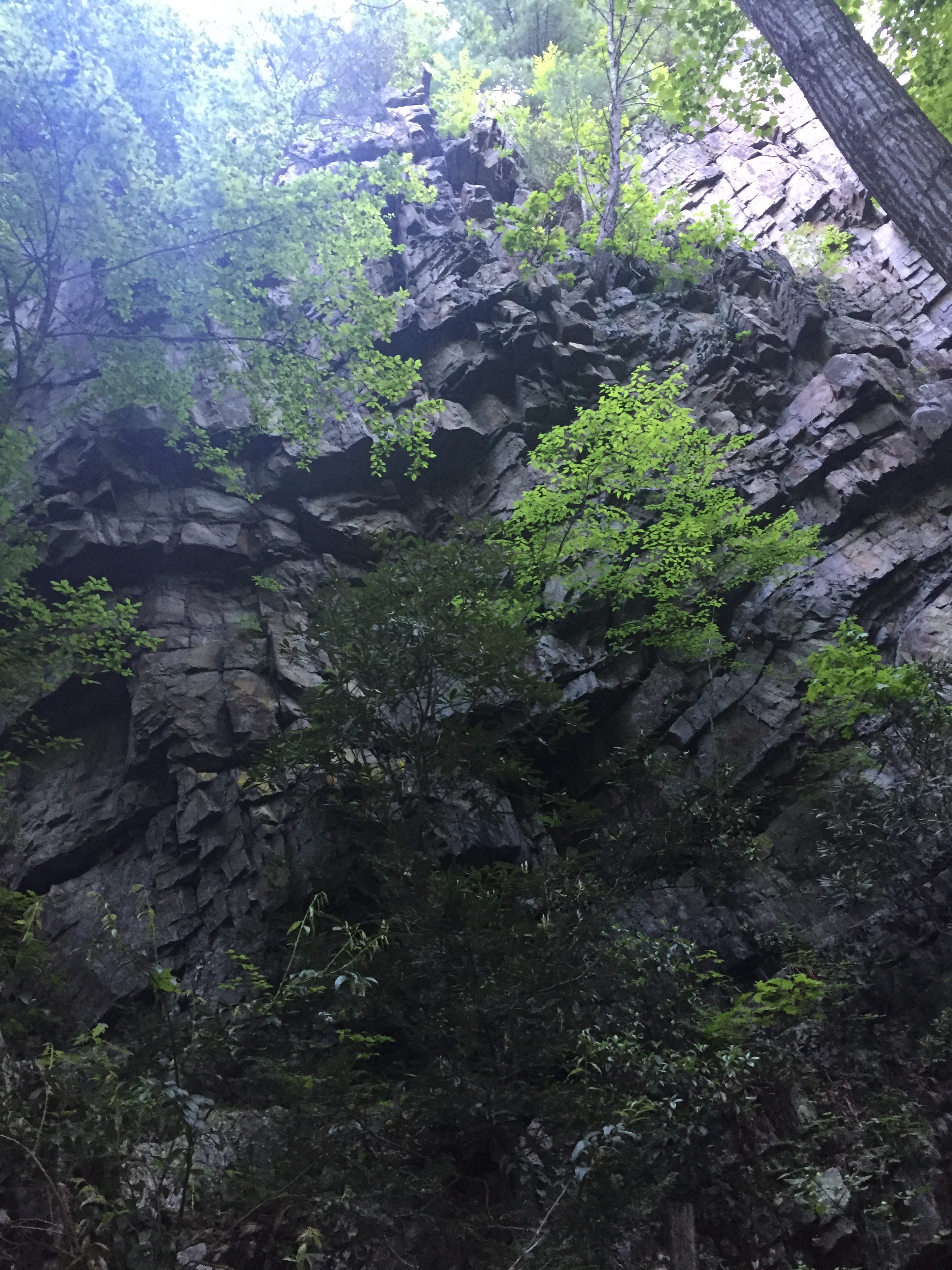
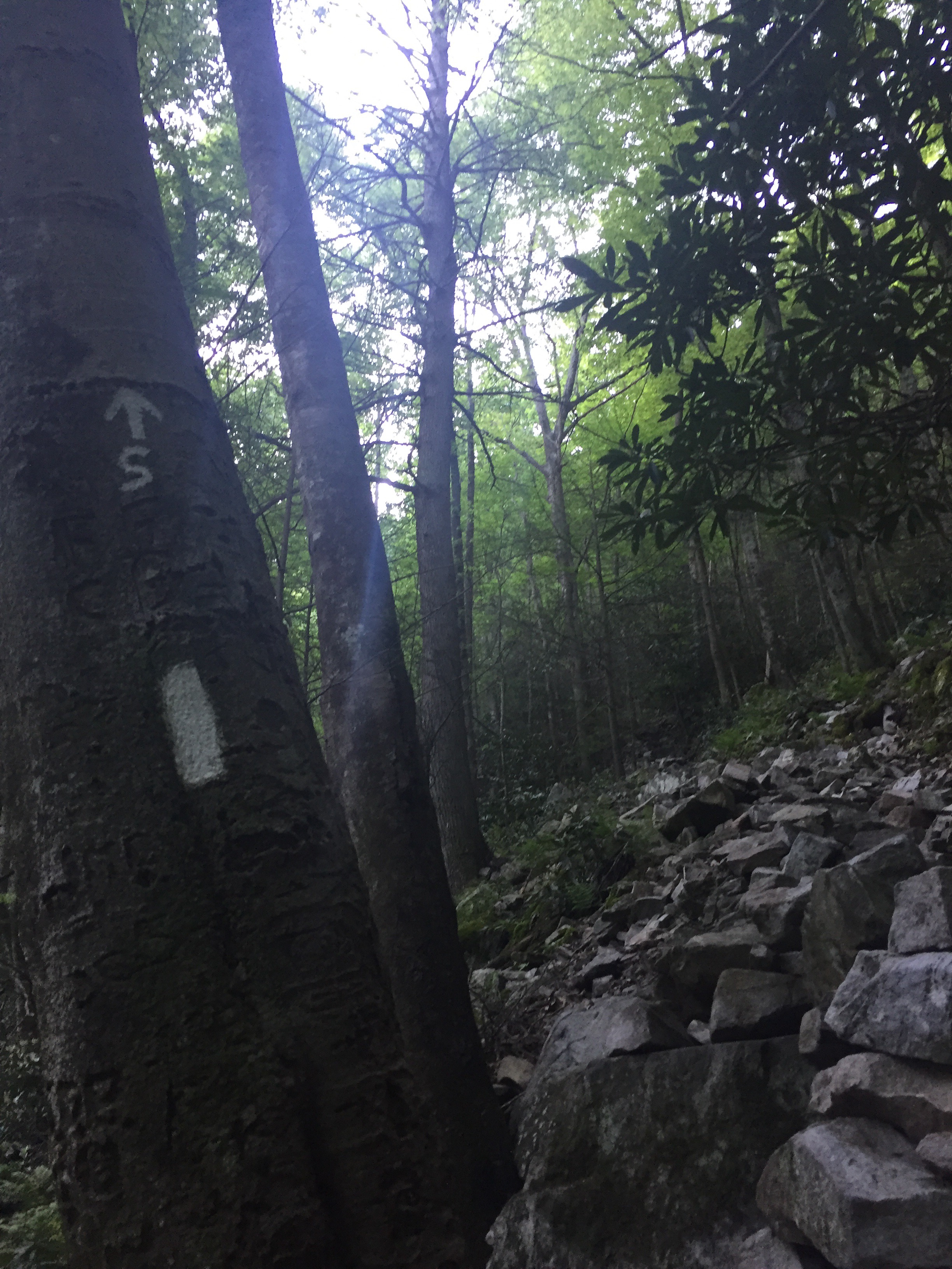
I got started around 7:30, and it was a rough start. Luckily, the trail rewarded me with some incredibly beautiful scenery and some very interesting blazes. I know I must say that each section is the most beautiful one yet, but this one truly is gorgeous.

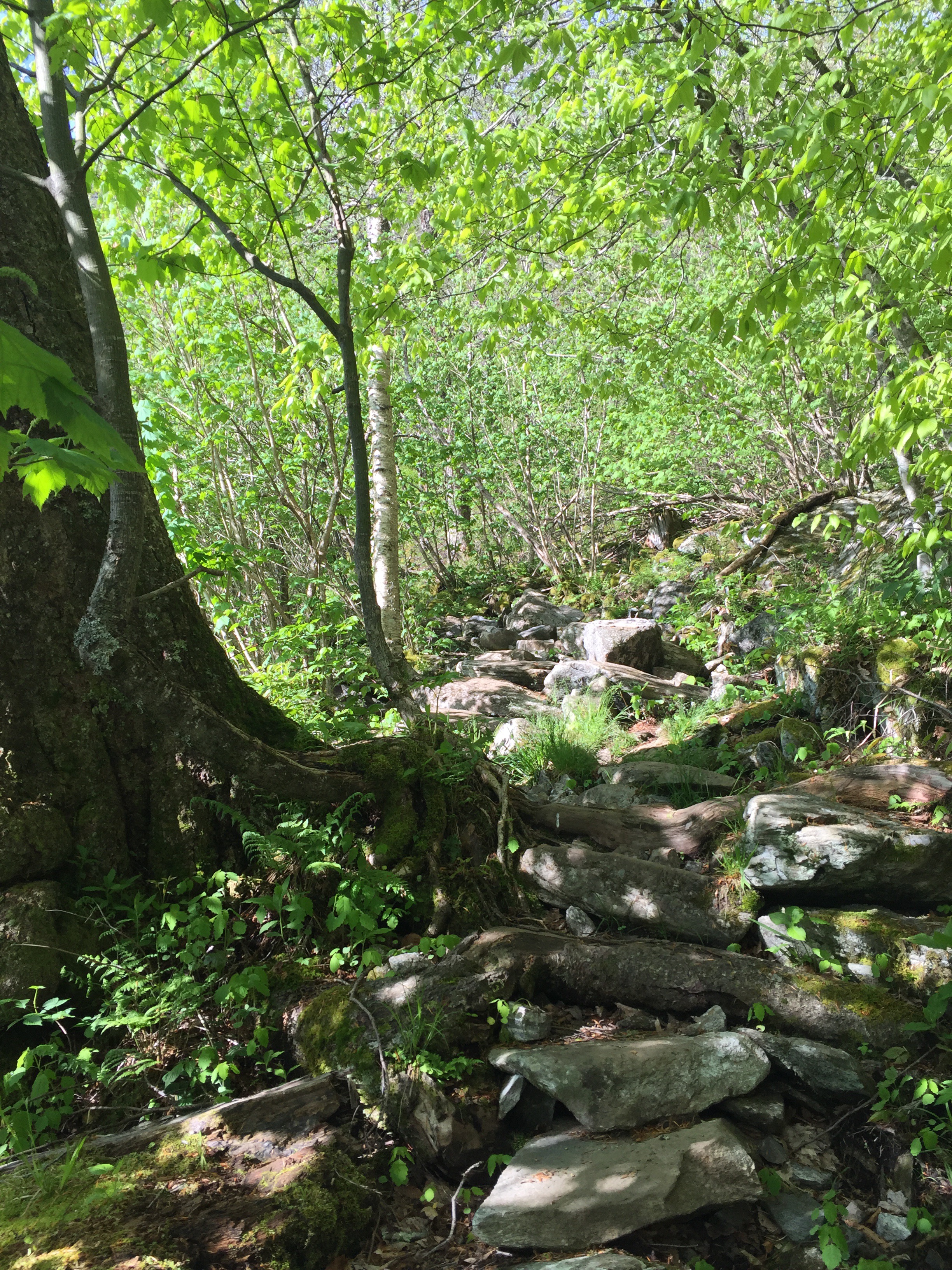
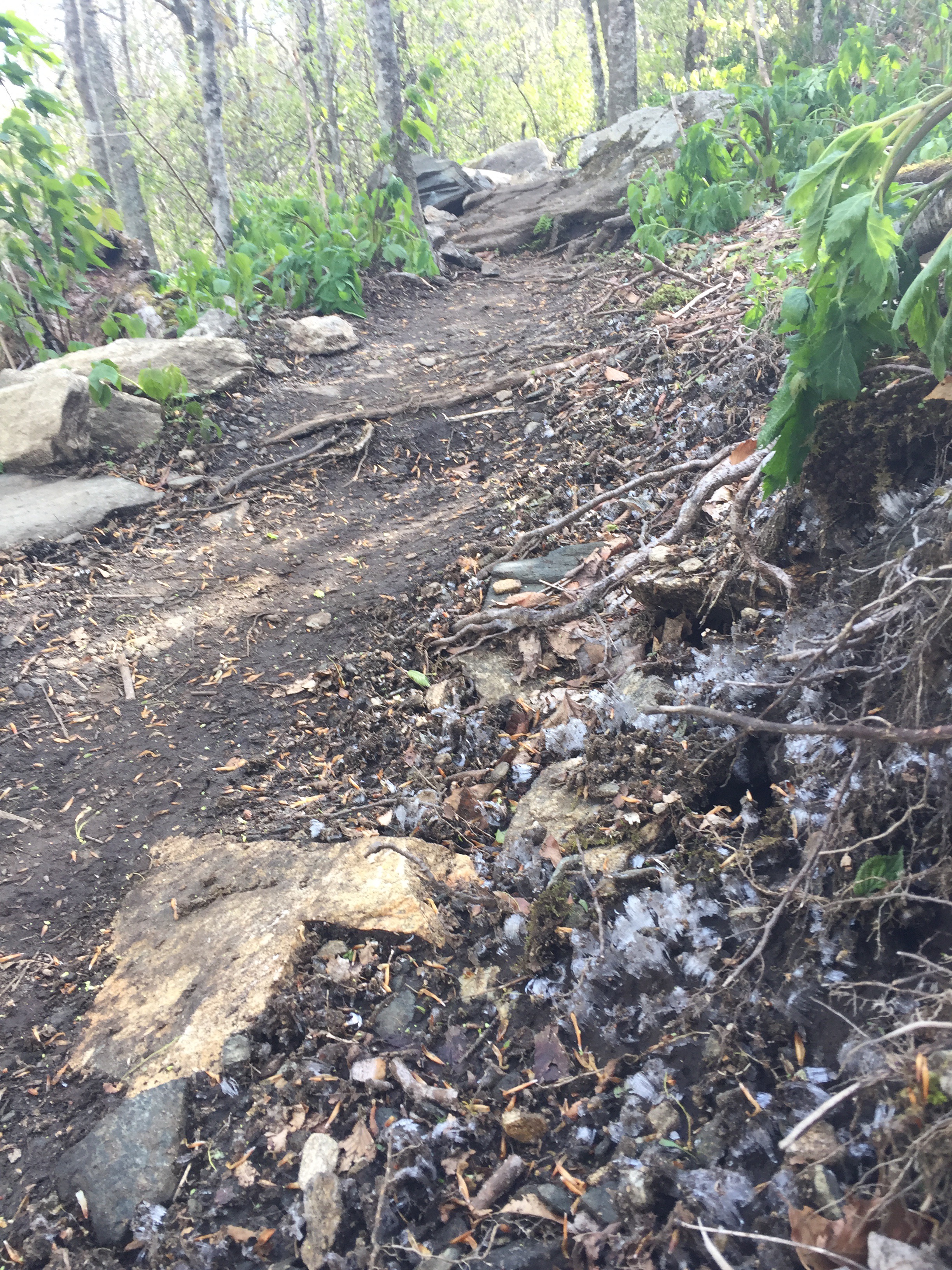
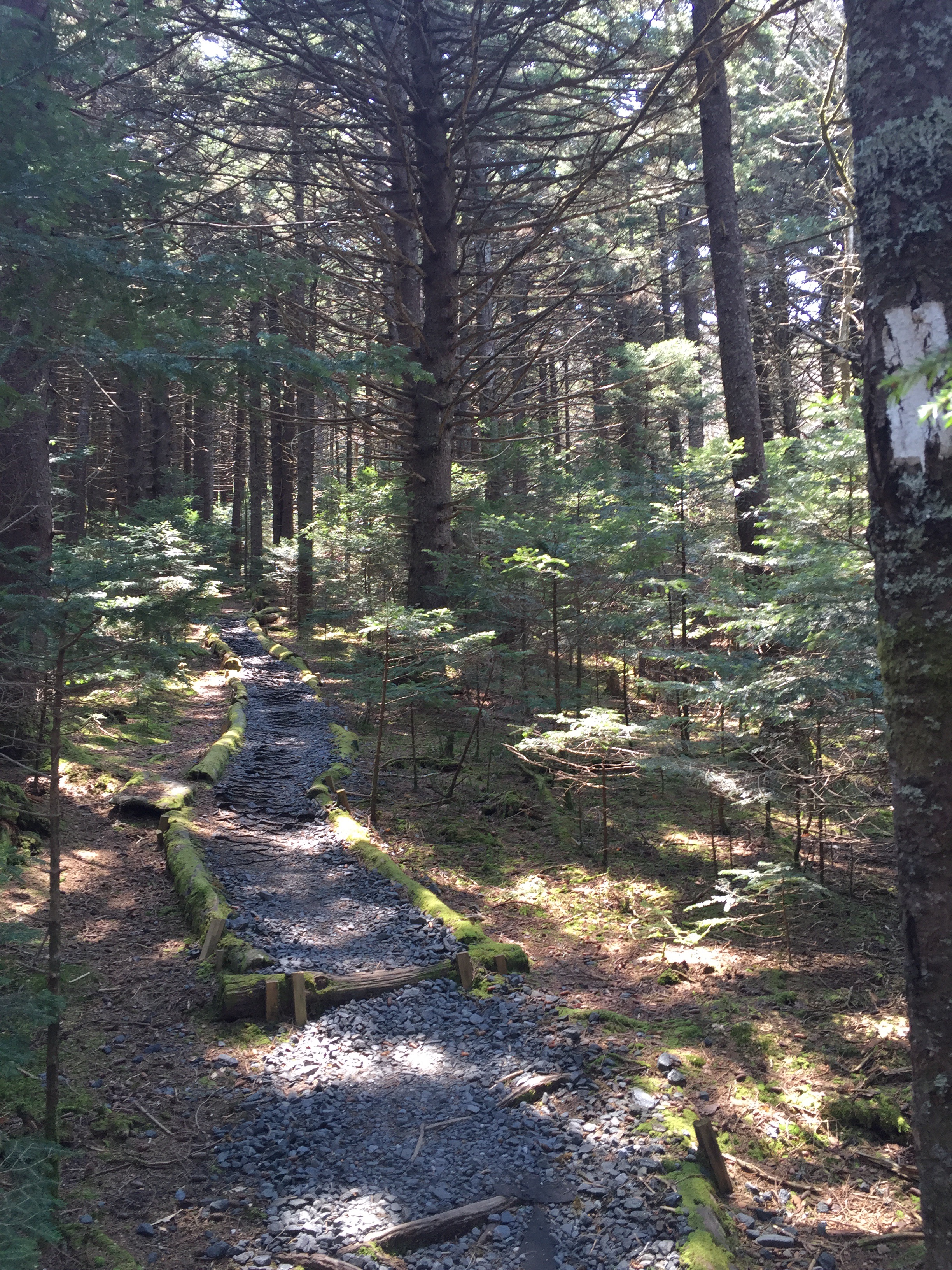
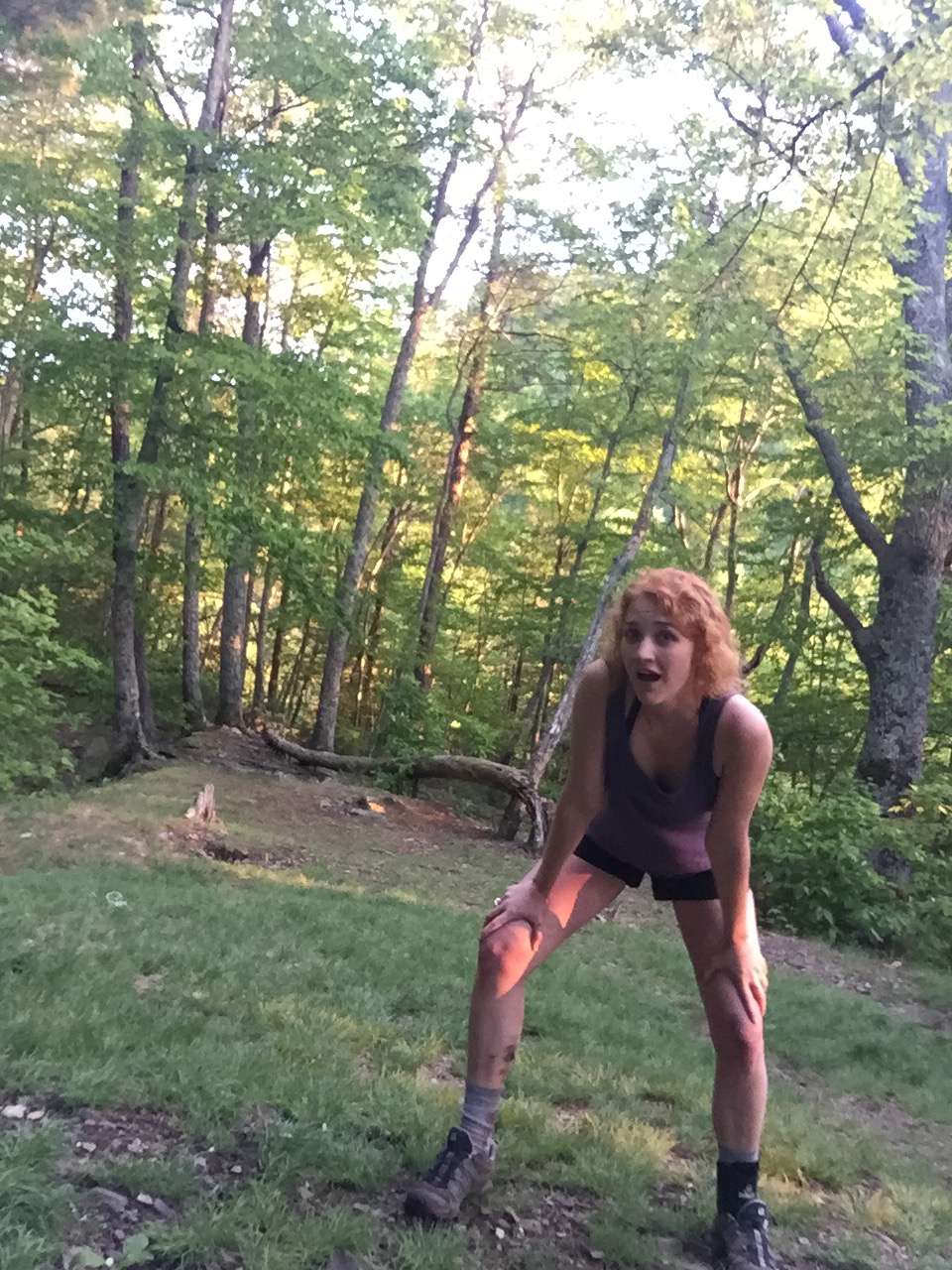
The trail also gave me endless rock steps, though. Eye roll. Gooood morning lindsey. Who’s the unstoppable force now?

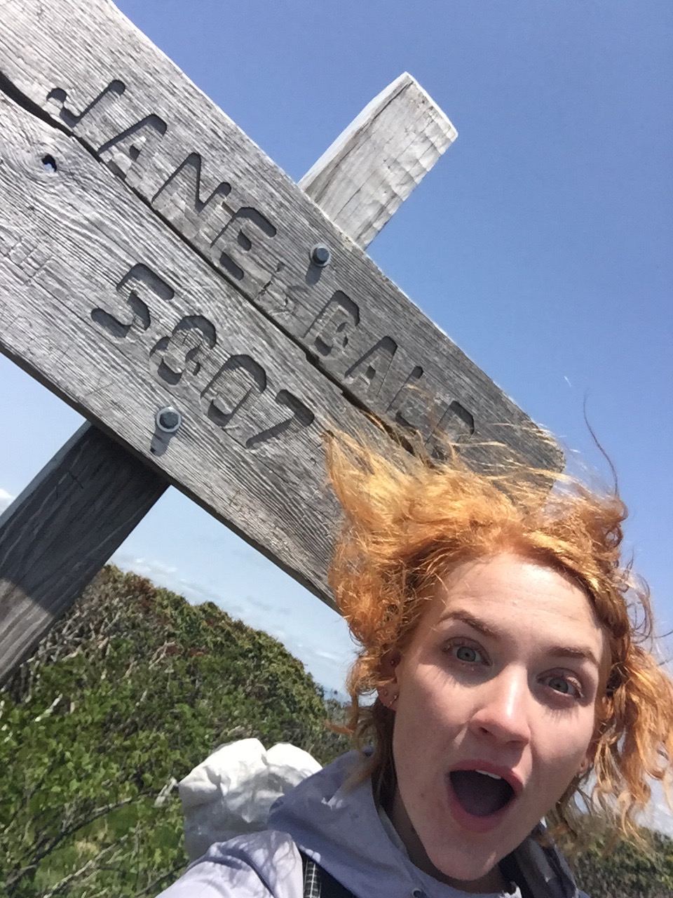
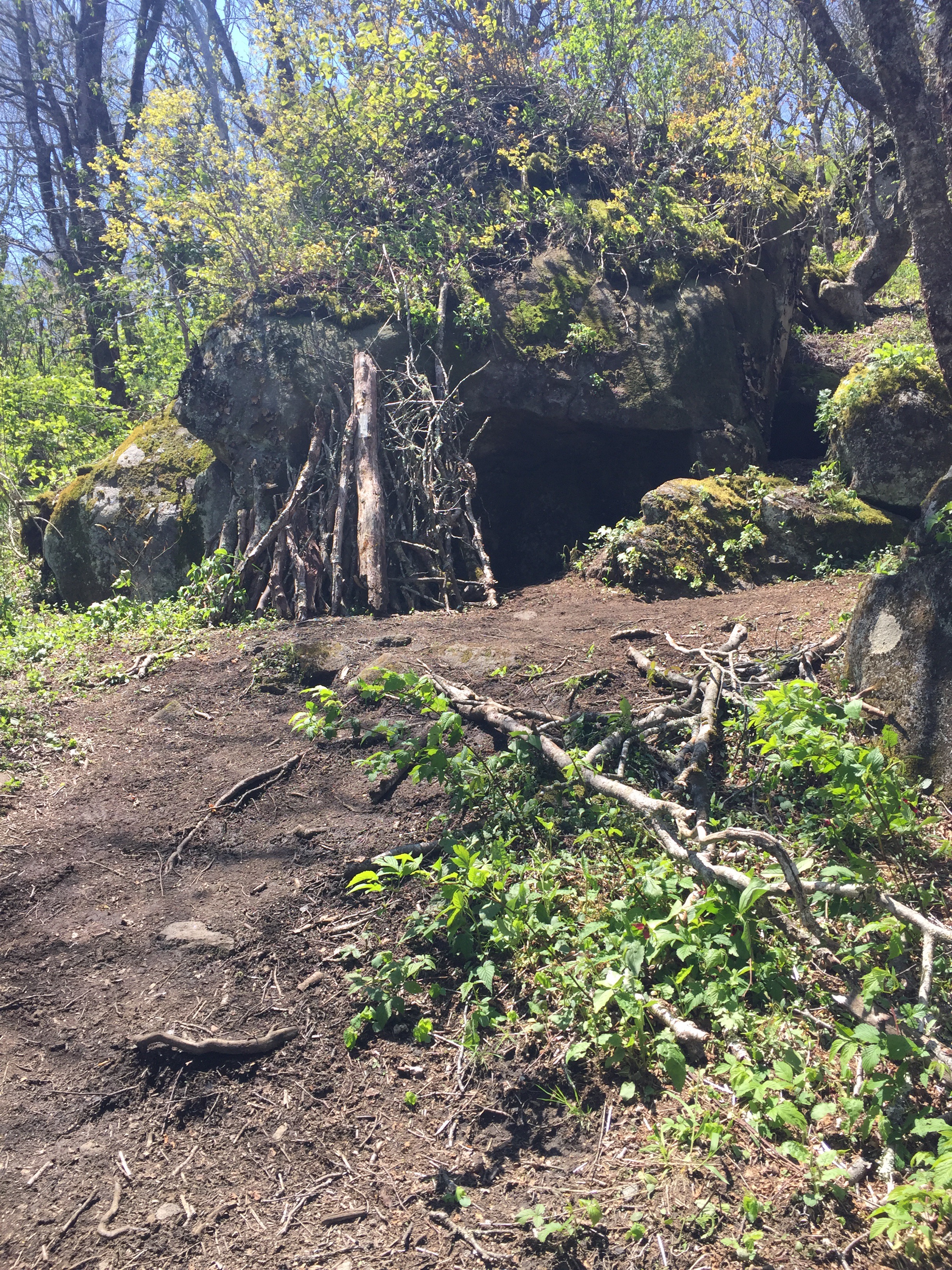
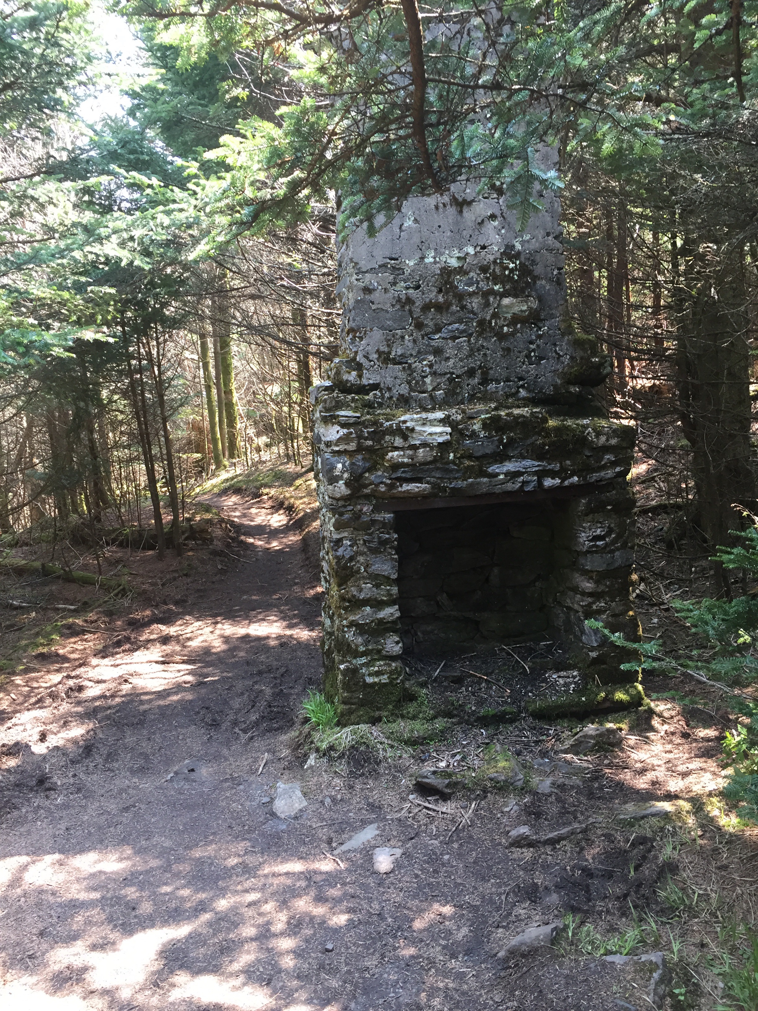
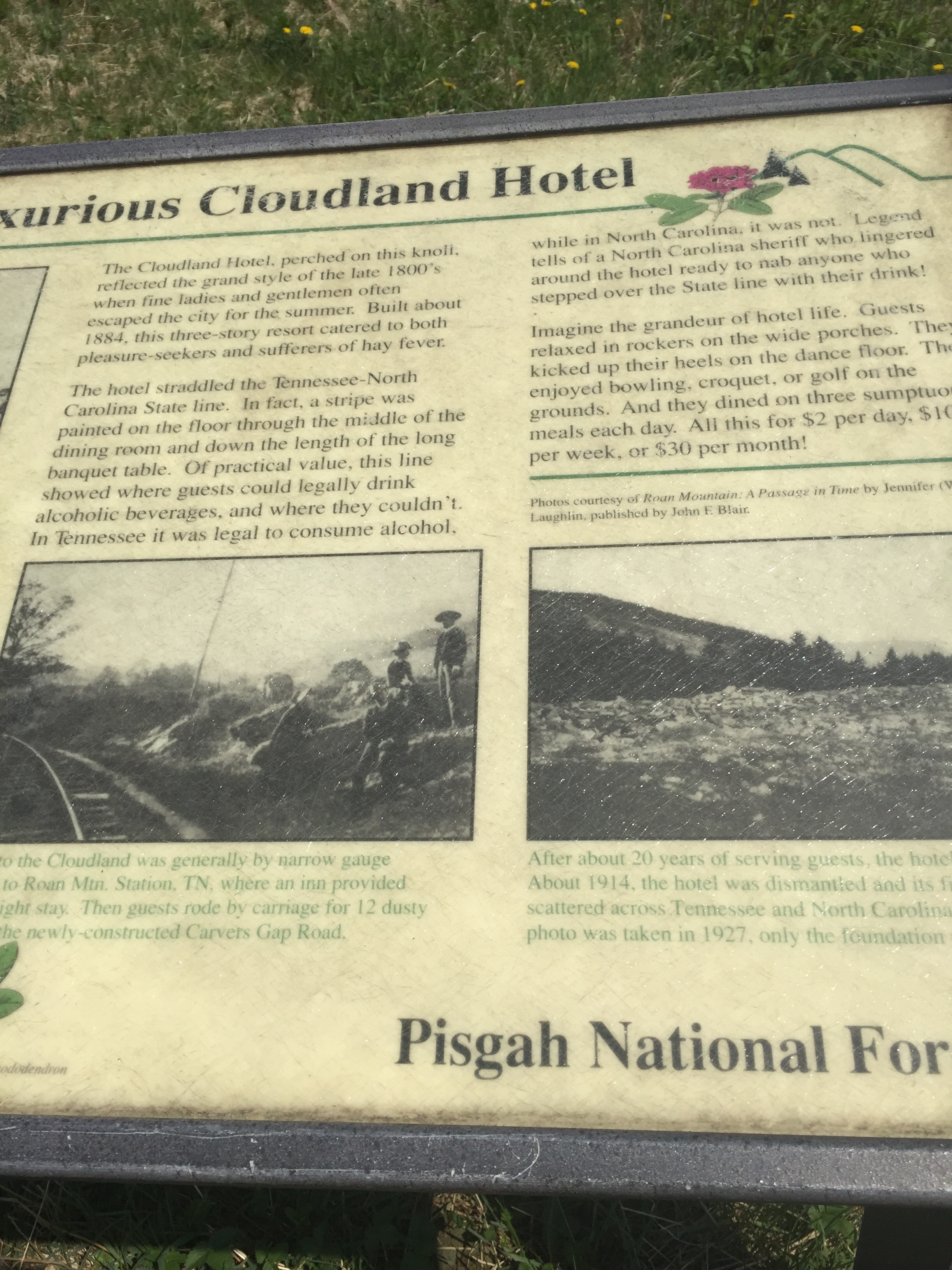
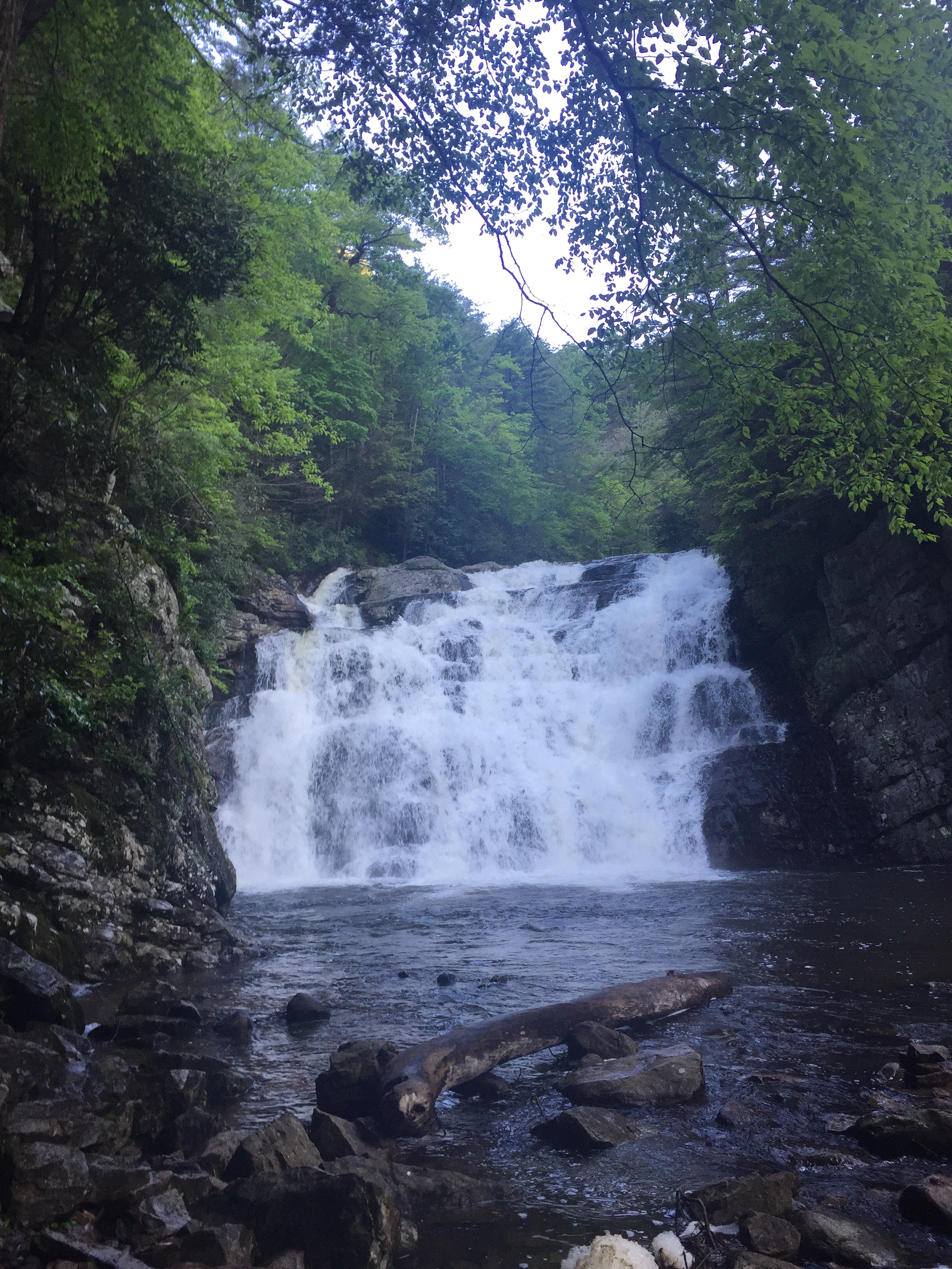
But then I got here.
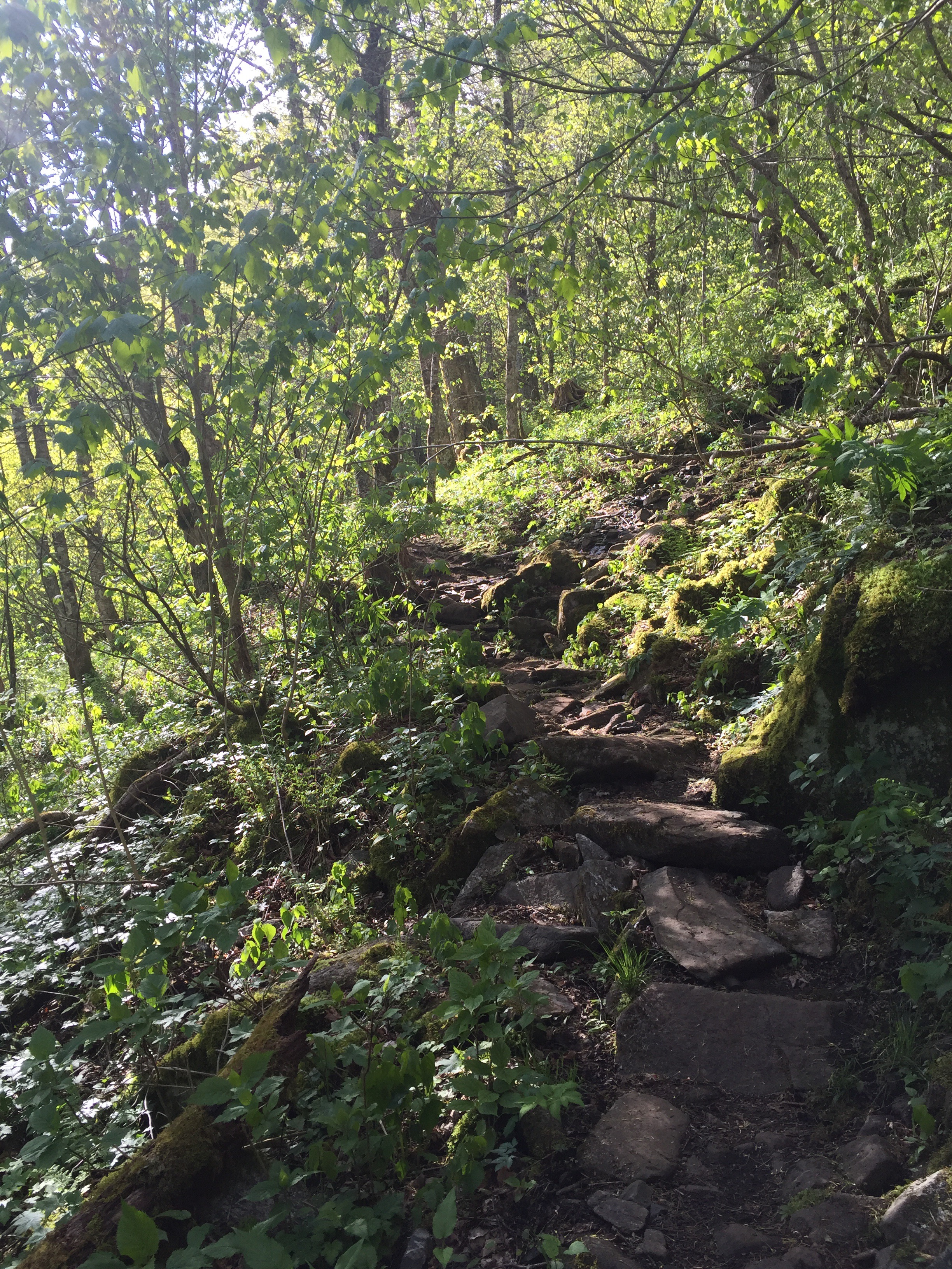
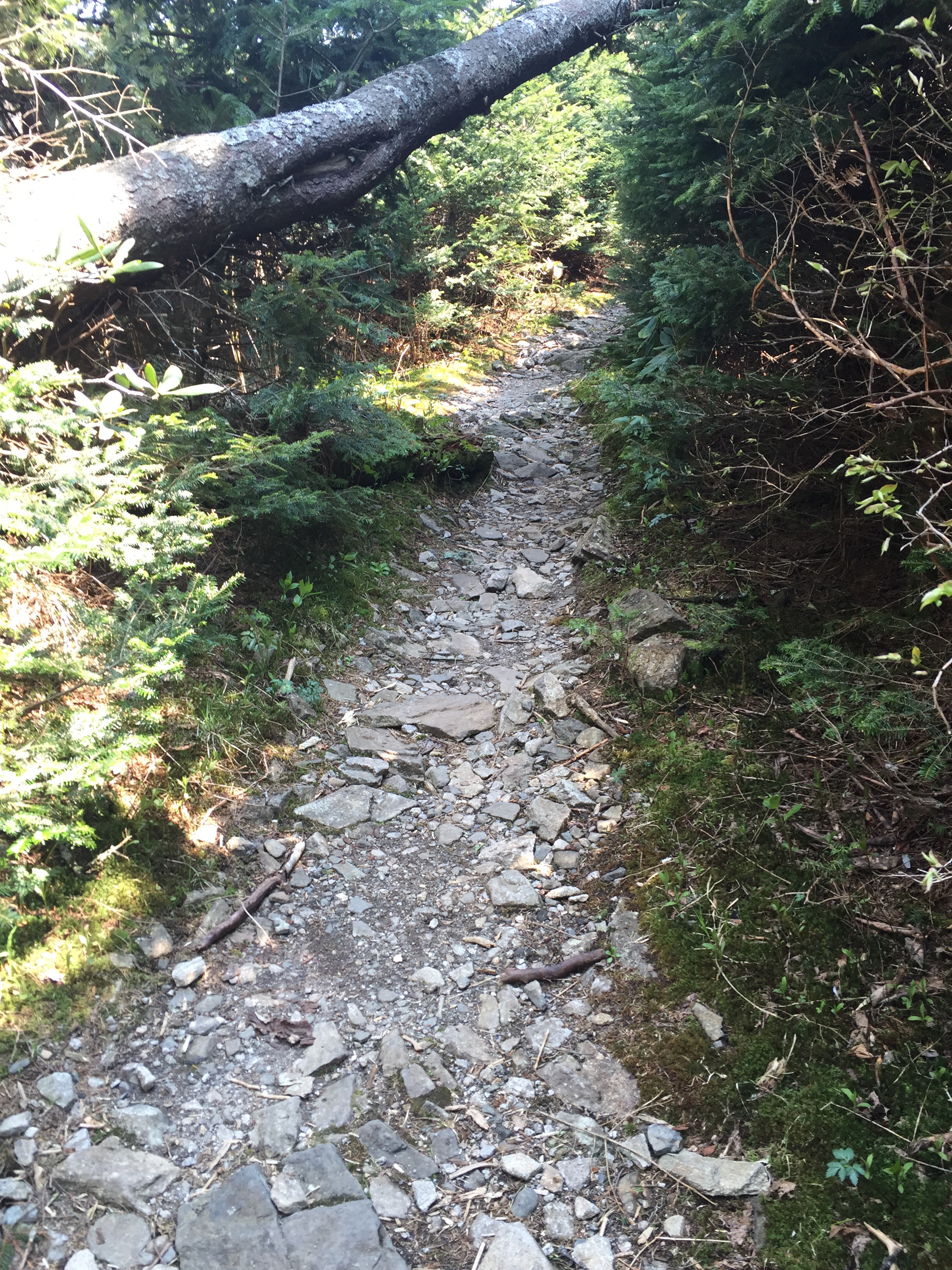
And then I got endless rock stairs, part 2. Not cold anymore! Now drenched in sweat.
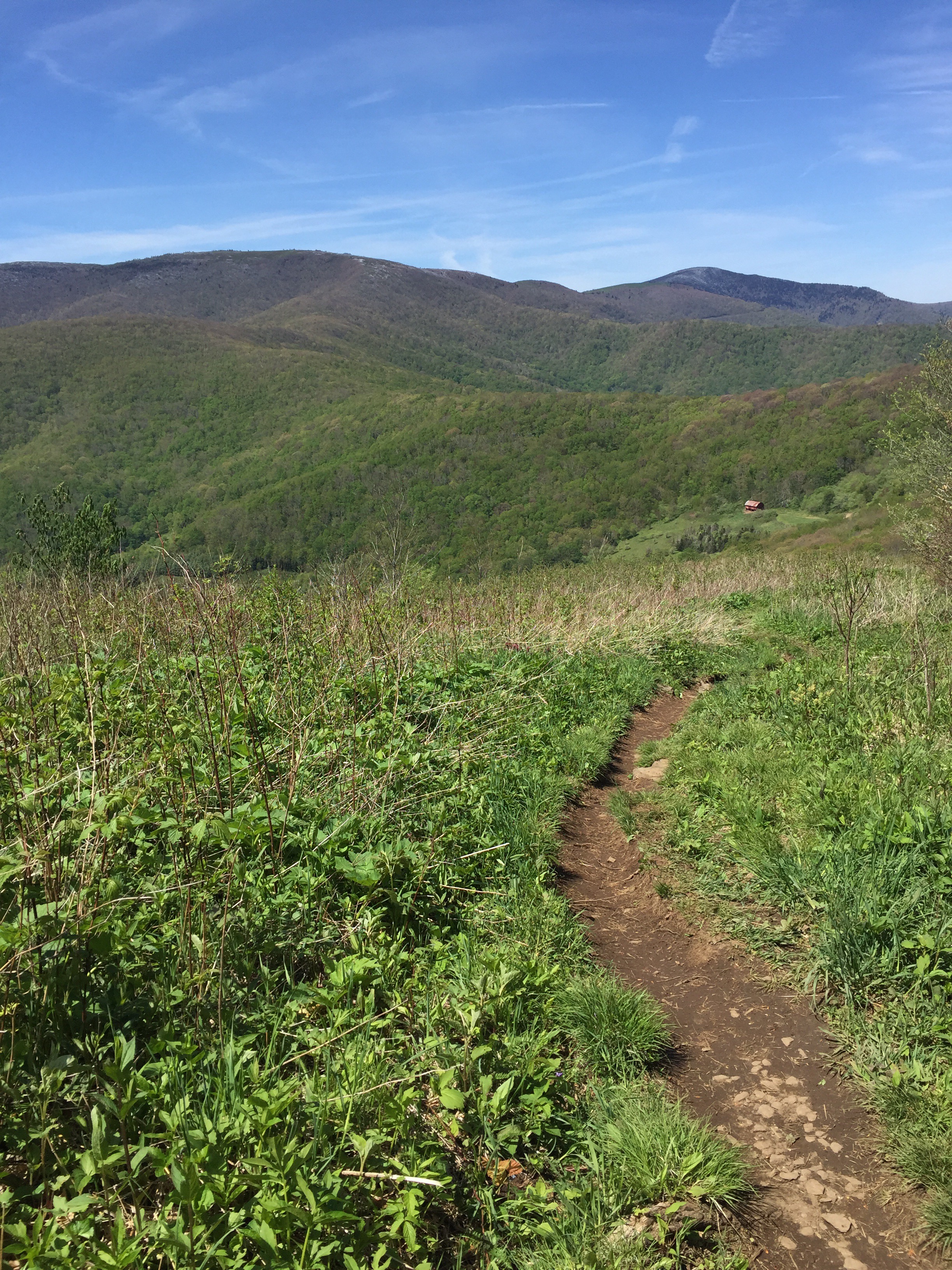
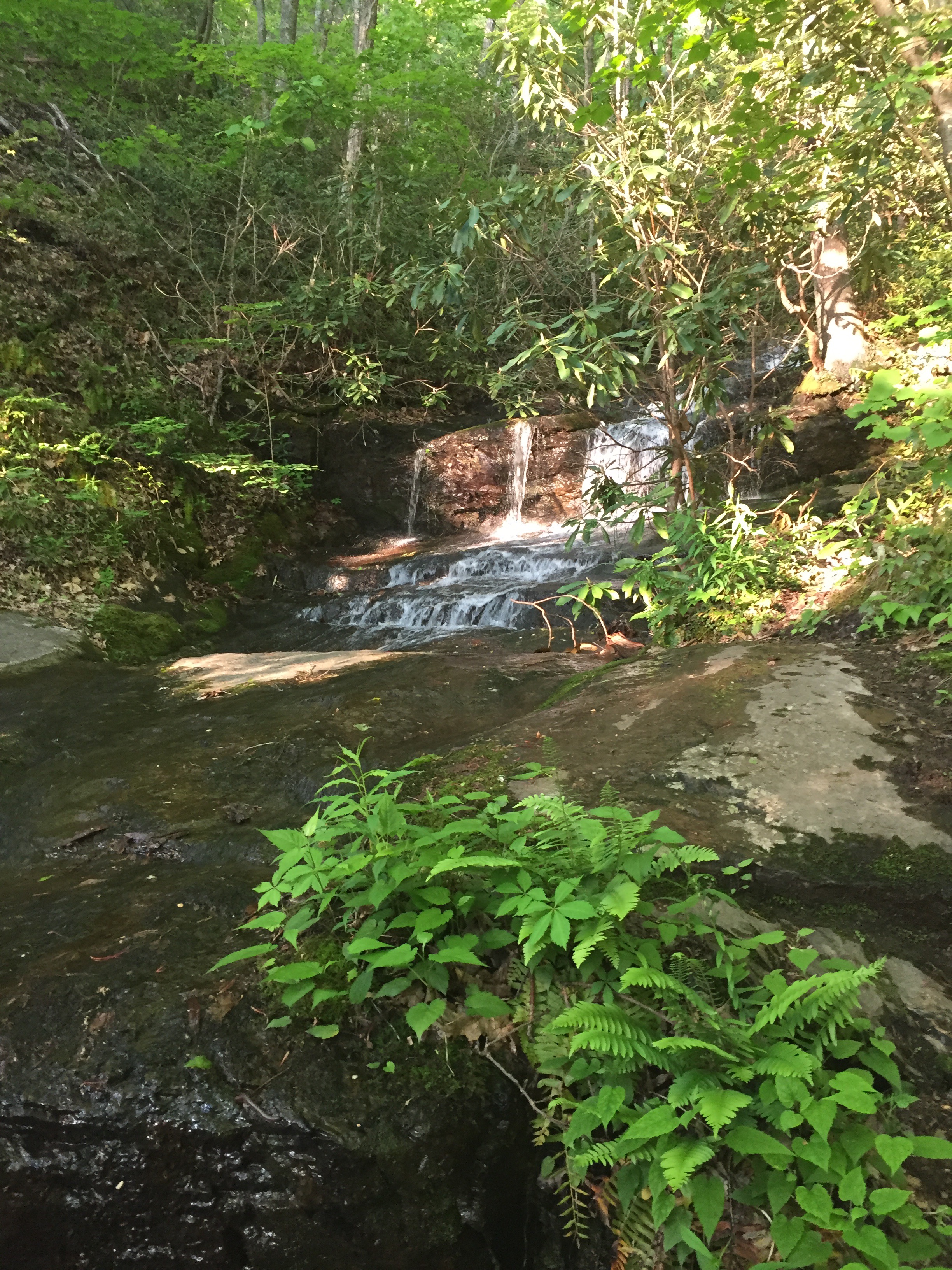
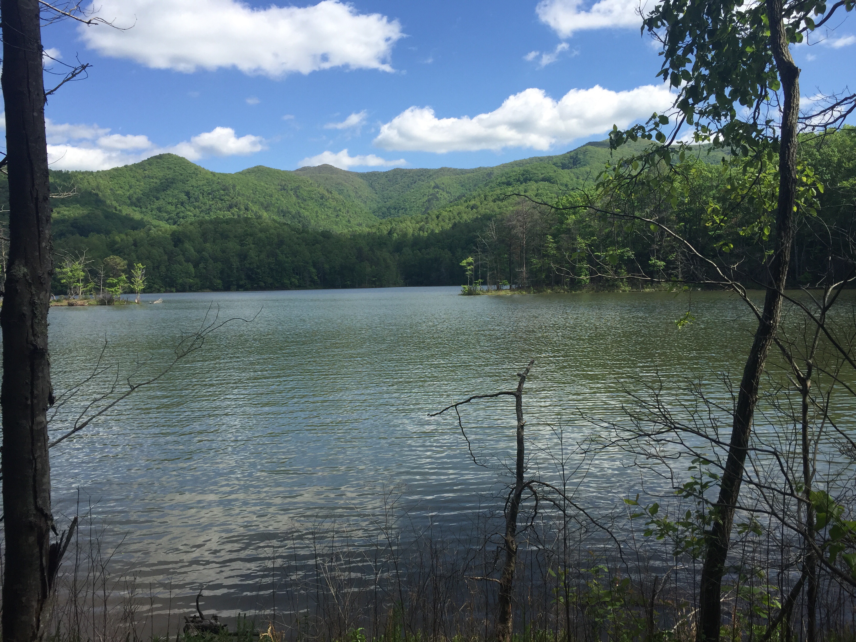
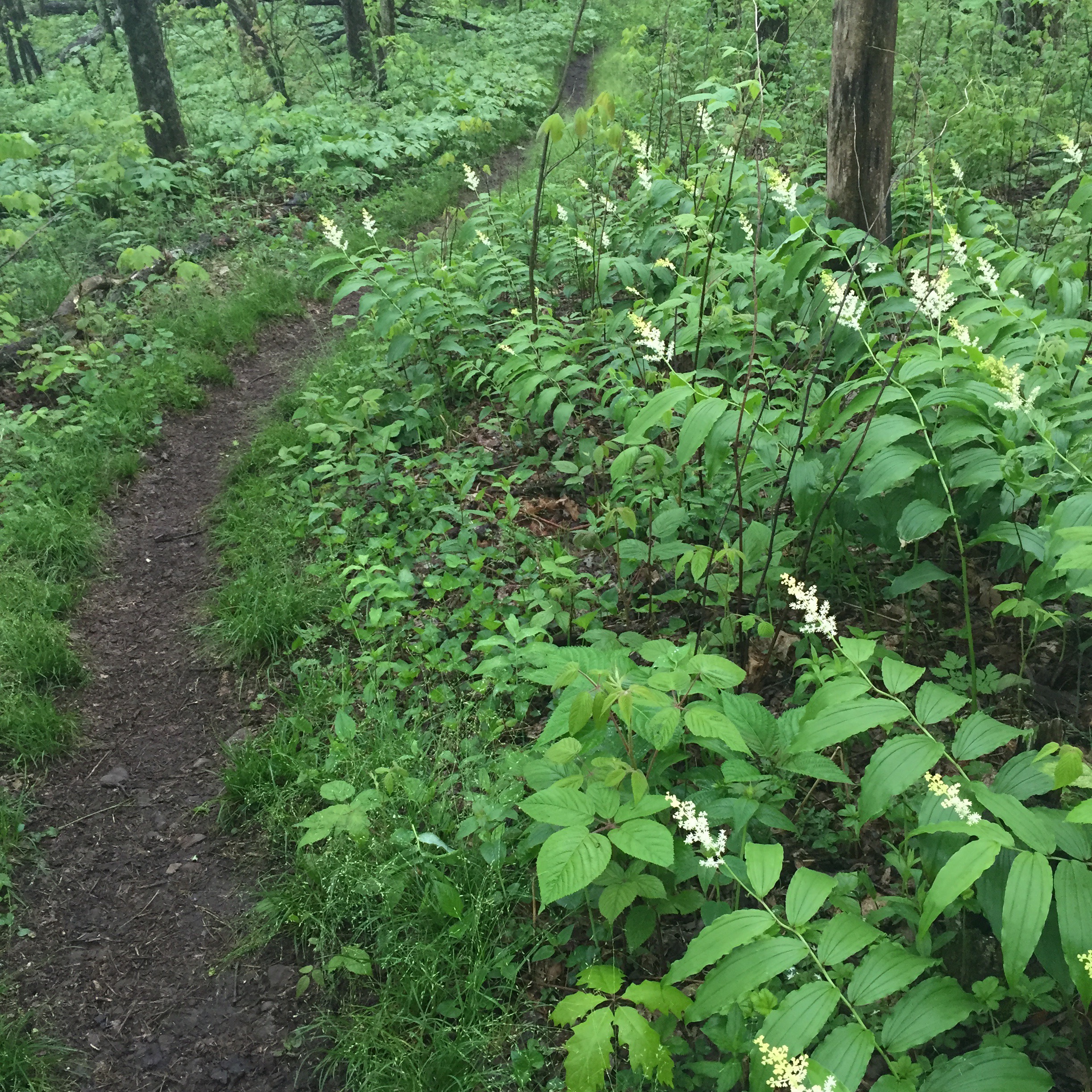
This morning, the trail felt like I was in a Disney film, honestly. The path was wide and the sun was filtering through the trees. There were flowers on the bushes and trees and birds around me. Rocks and moss gave everything texture. It was hard not to be happy.

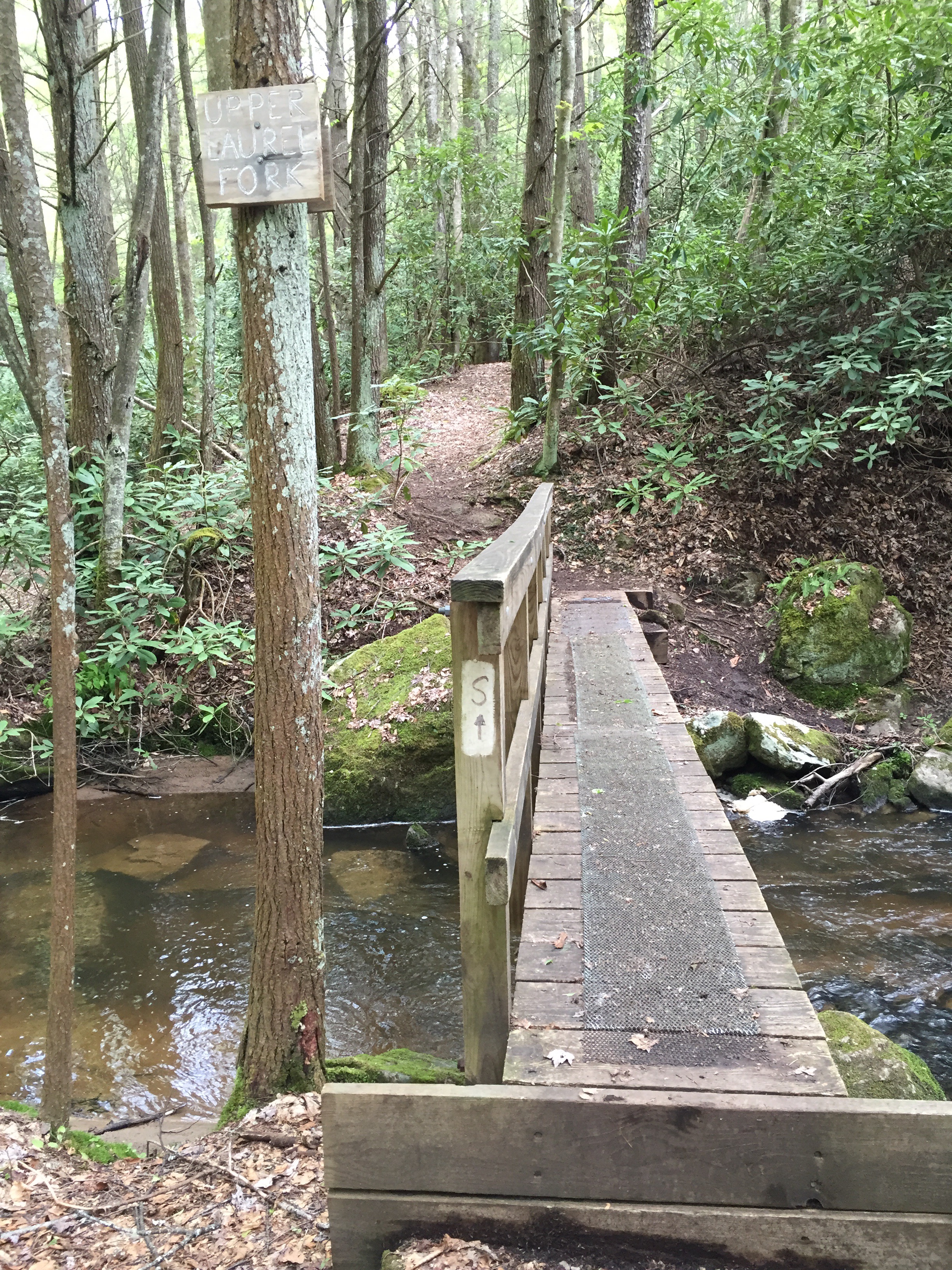
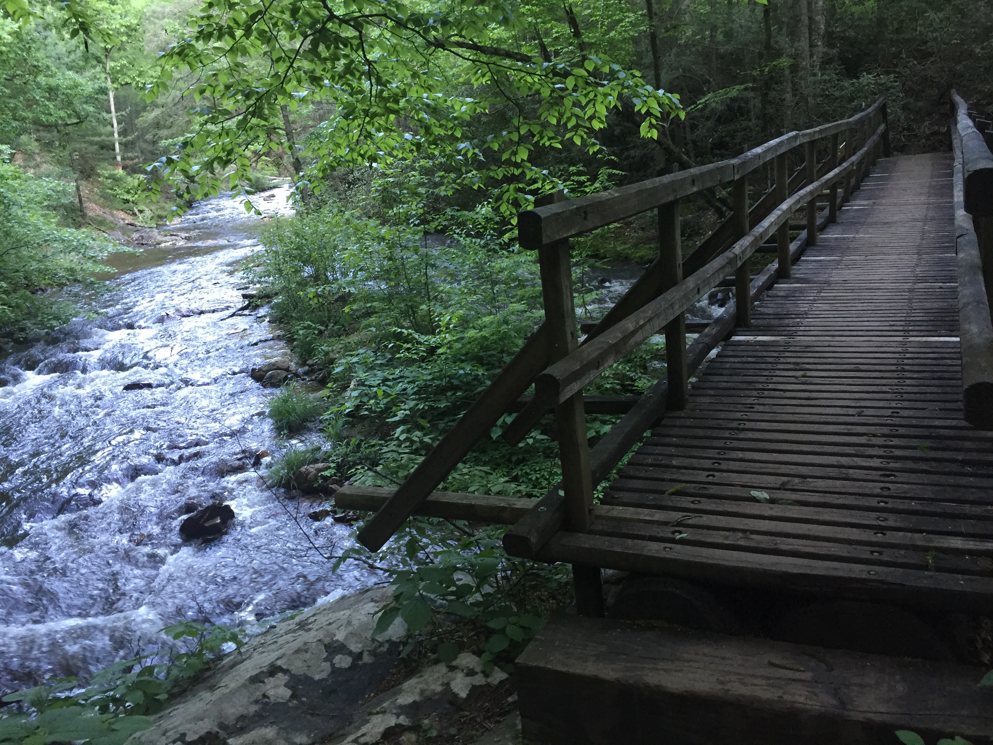
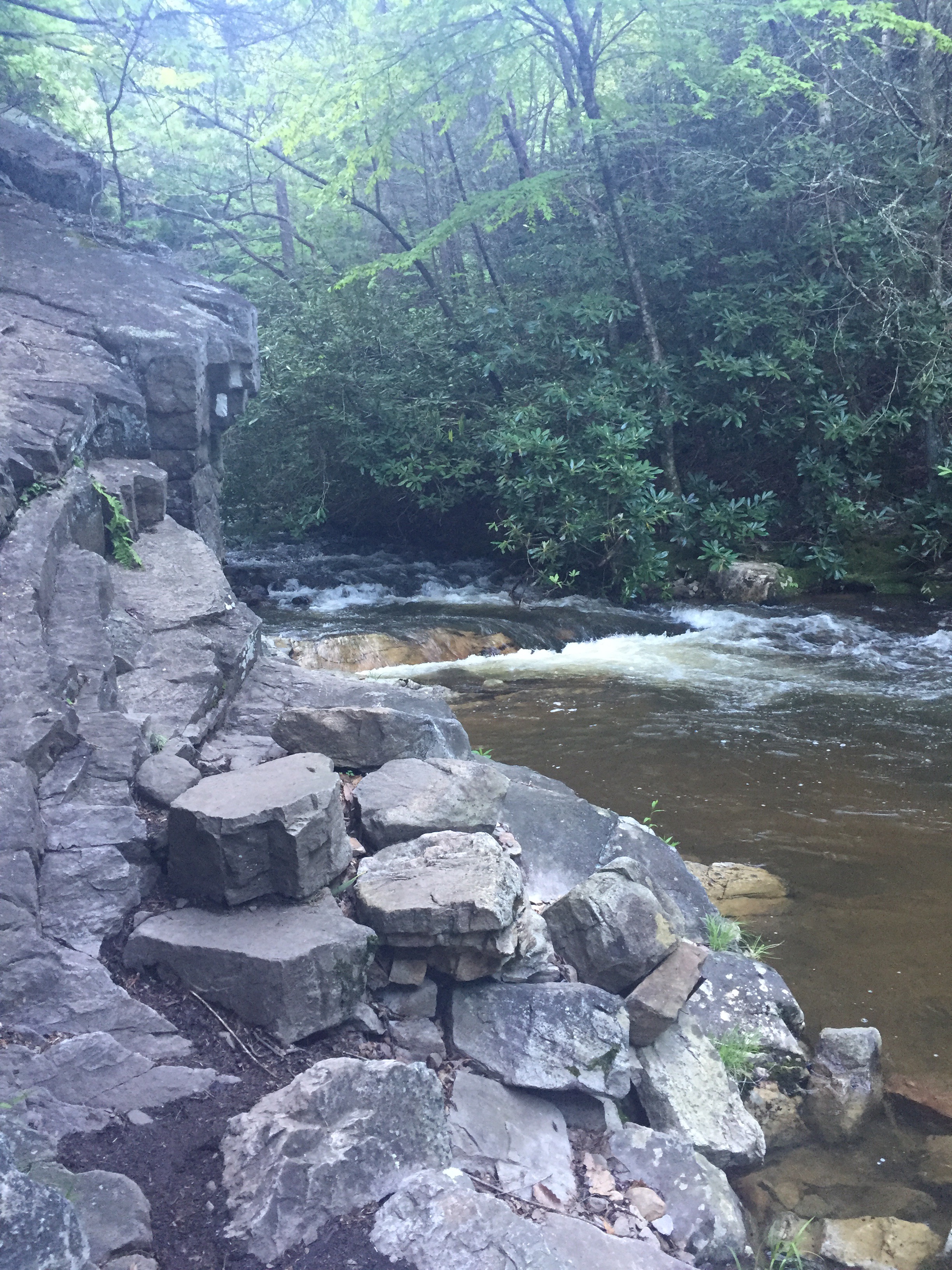
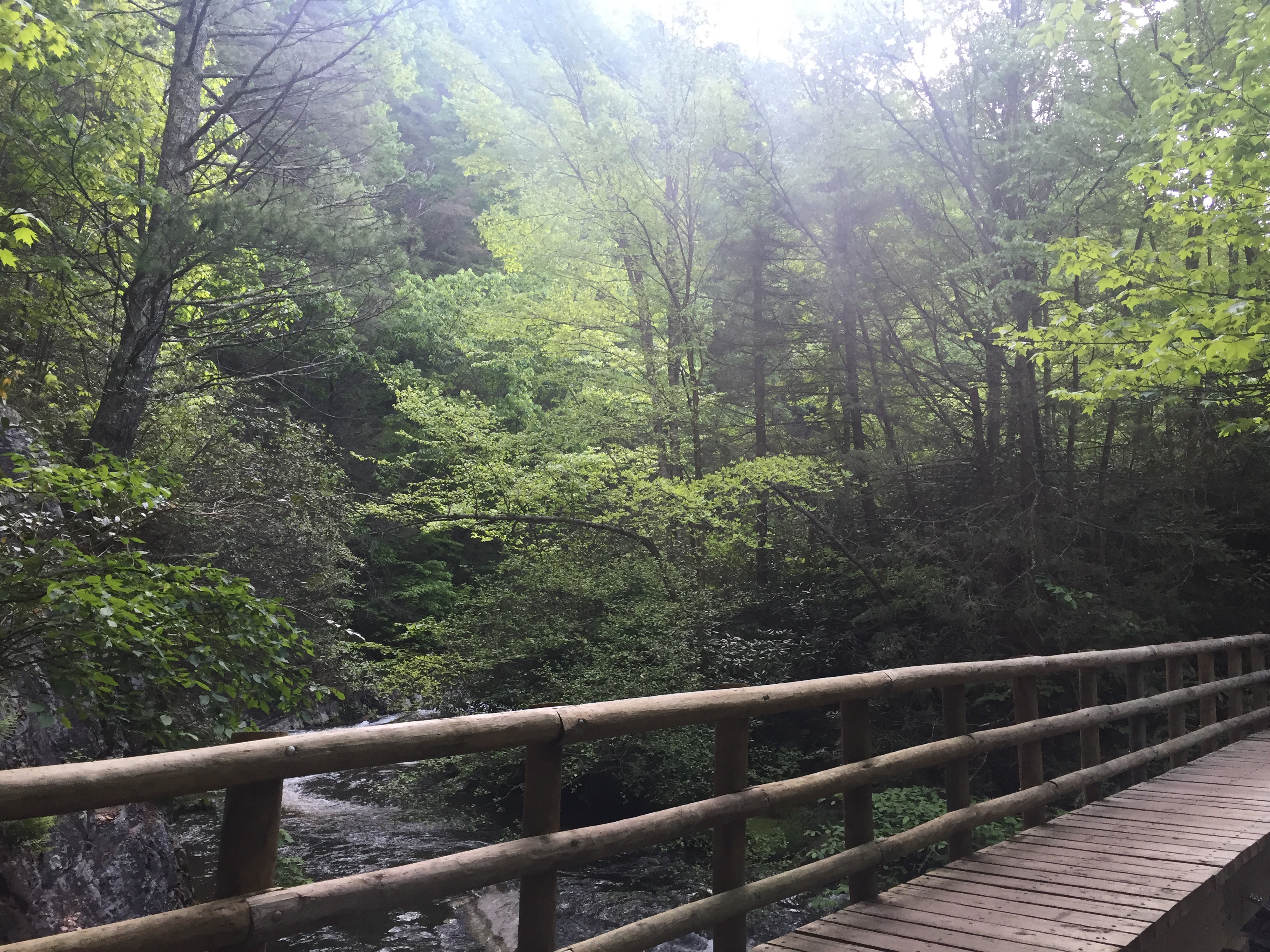
The water crossings reminded me of my very first backpacking trip with Stewart in the 3 Gorges section of the Cumberland Trail. My big mile day that trip was 8 miles and I thought I was going to die. Look at me now. That was in July. It hasn’t even been a year.
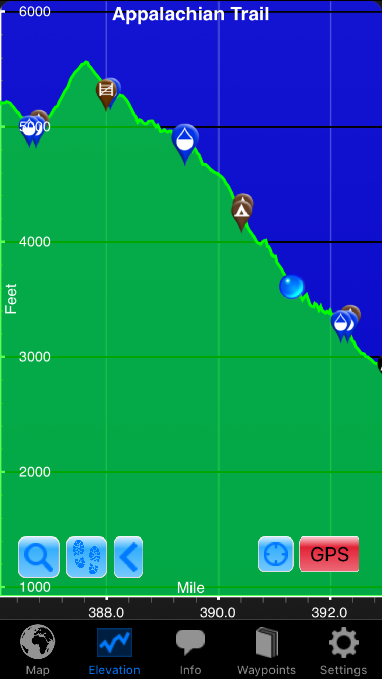
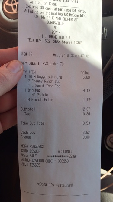
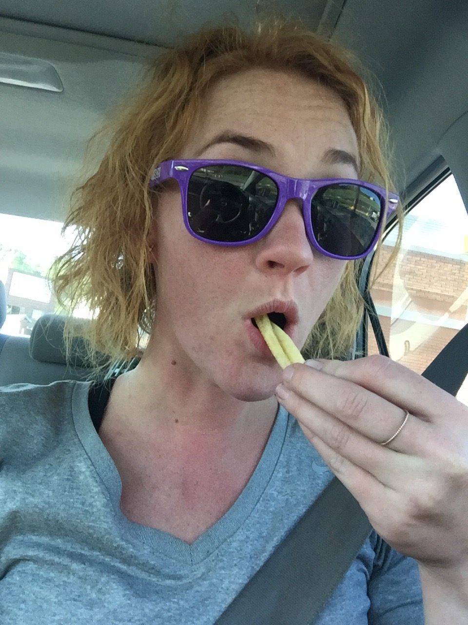
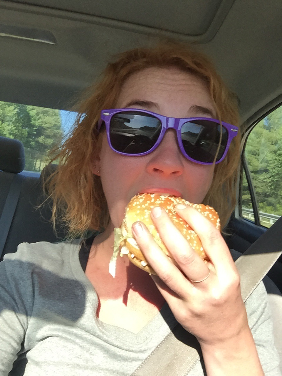
Hiker hunger has hit, hard, but I have too many miles and the elevation profile isn’t as generous today. It’s a “to go” sort of day.

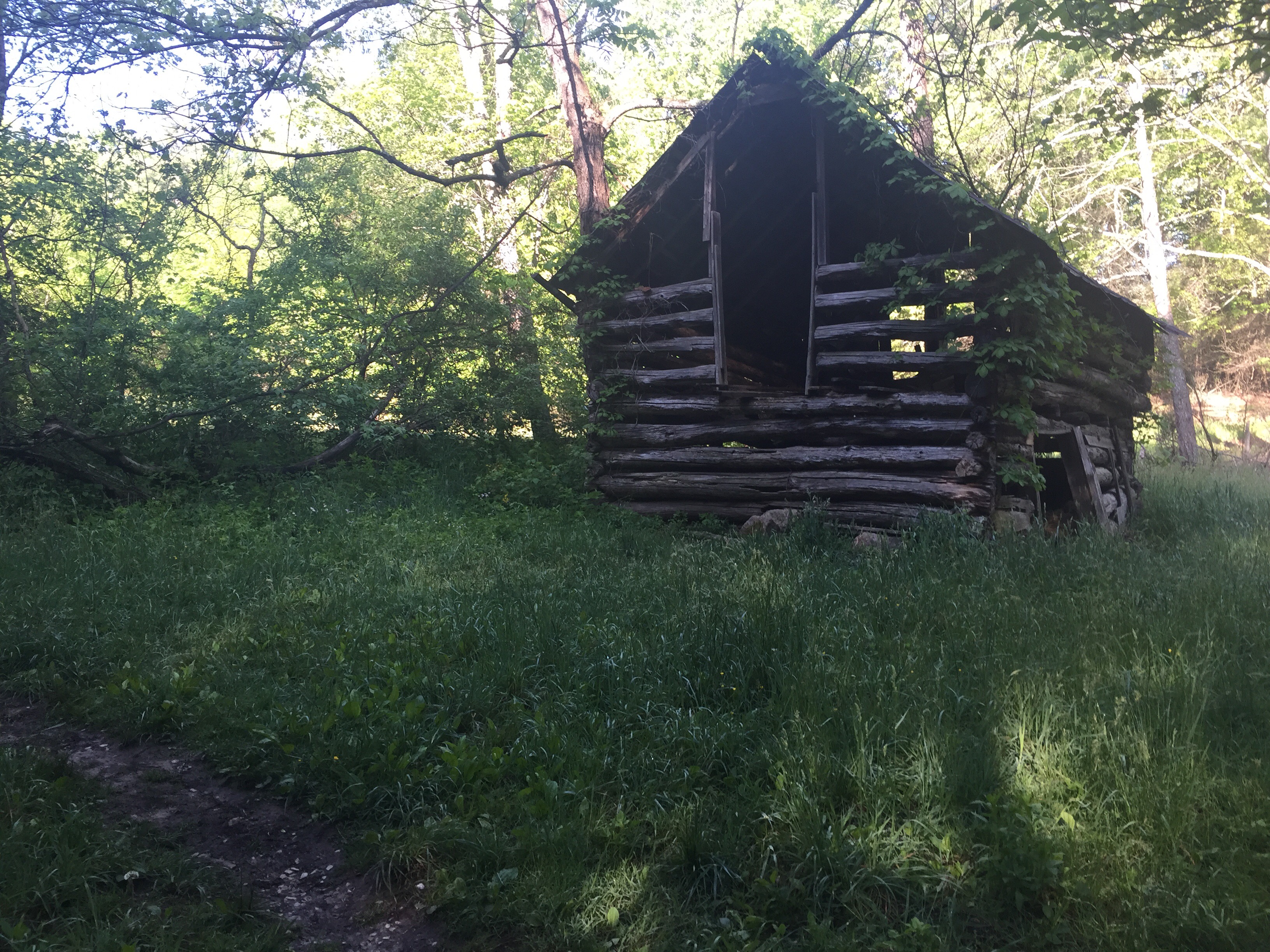
This cabin was next to a pond with a loquacious bullfrog.
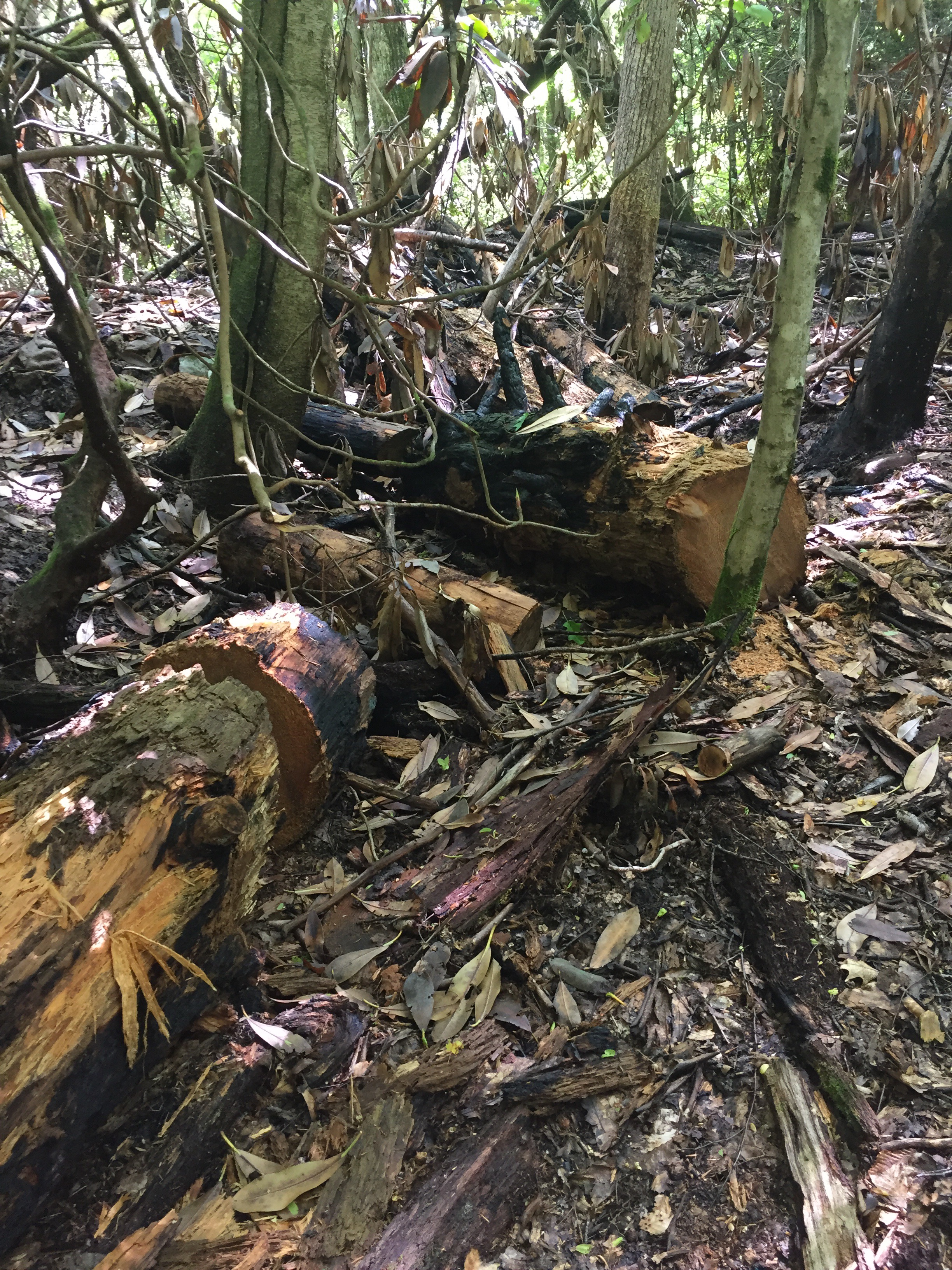
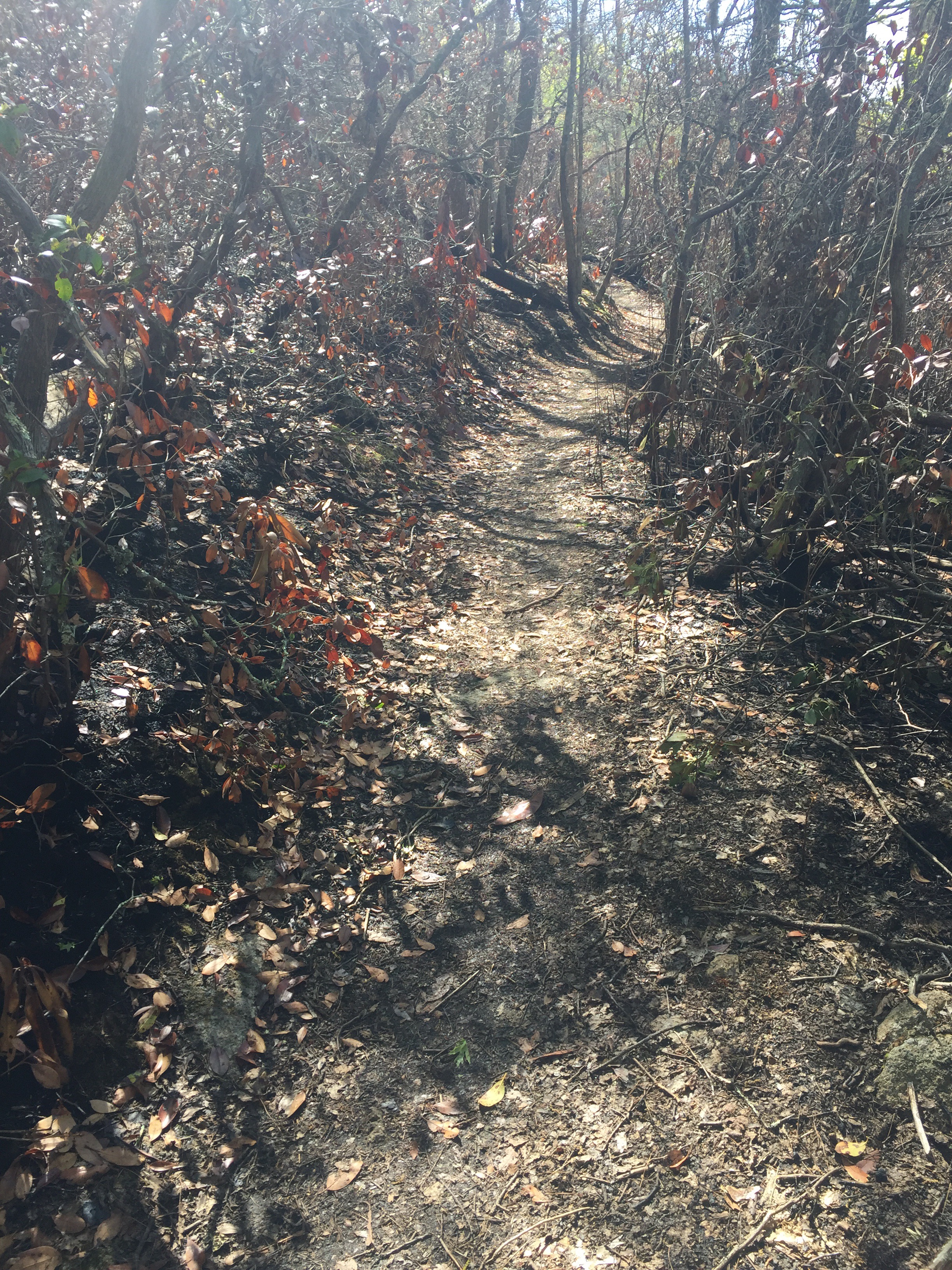
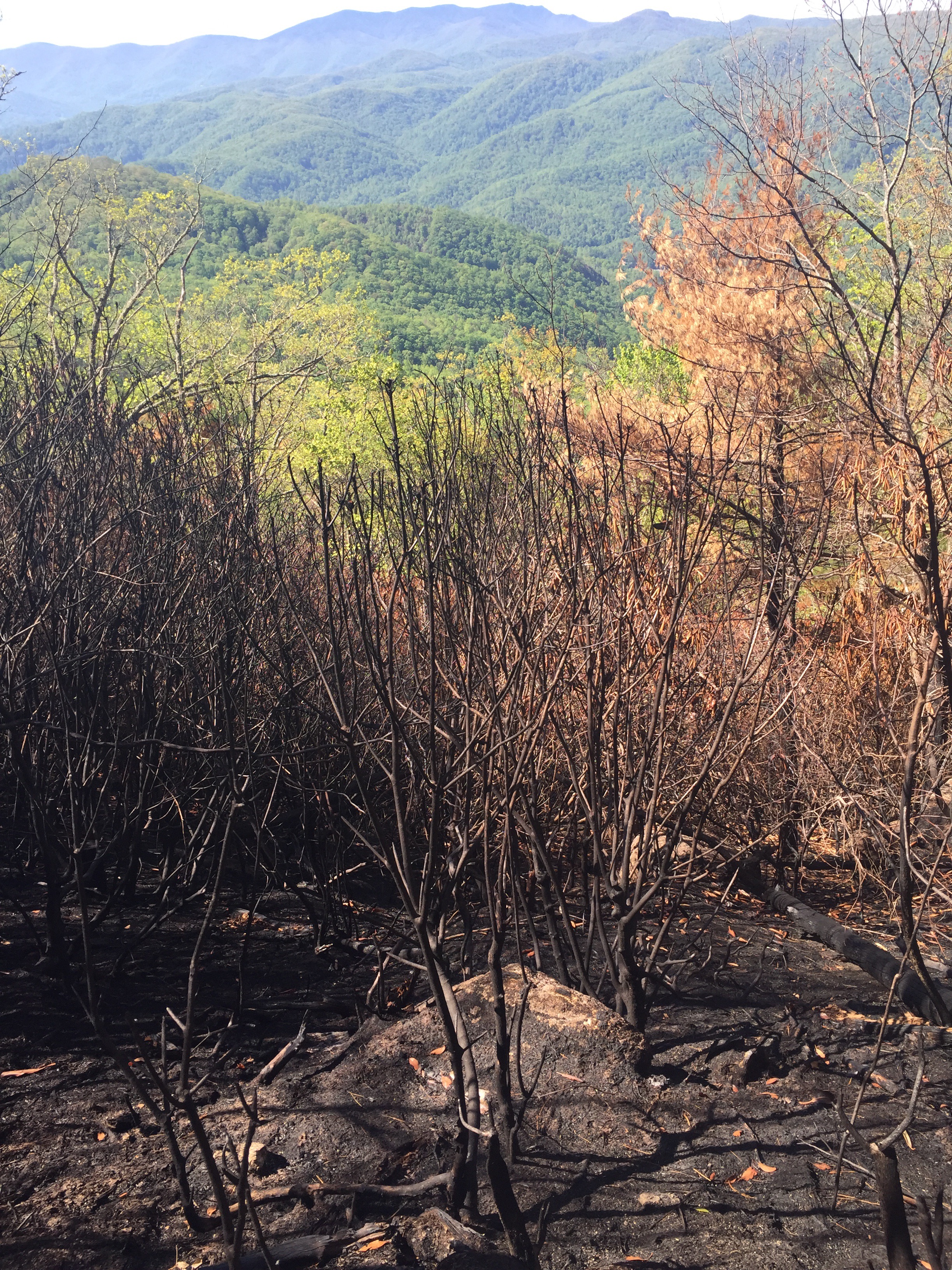
Another burnt out section. I kept trying to snack but everything tastes like ashtray.
The cropped picture
The real picture
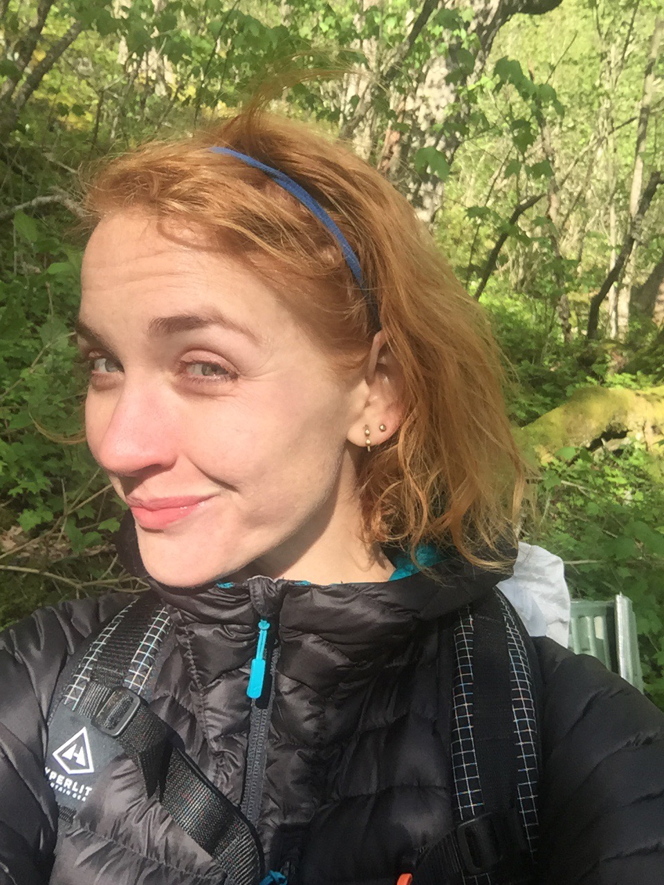
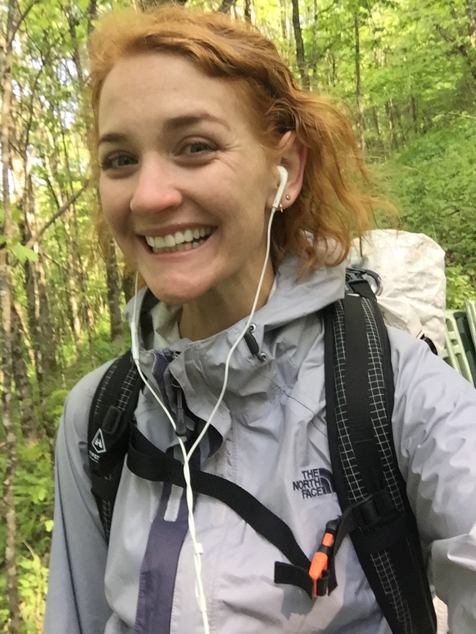
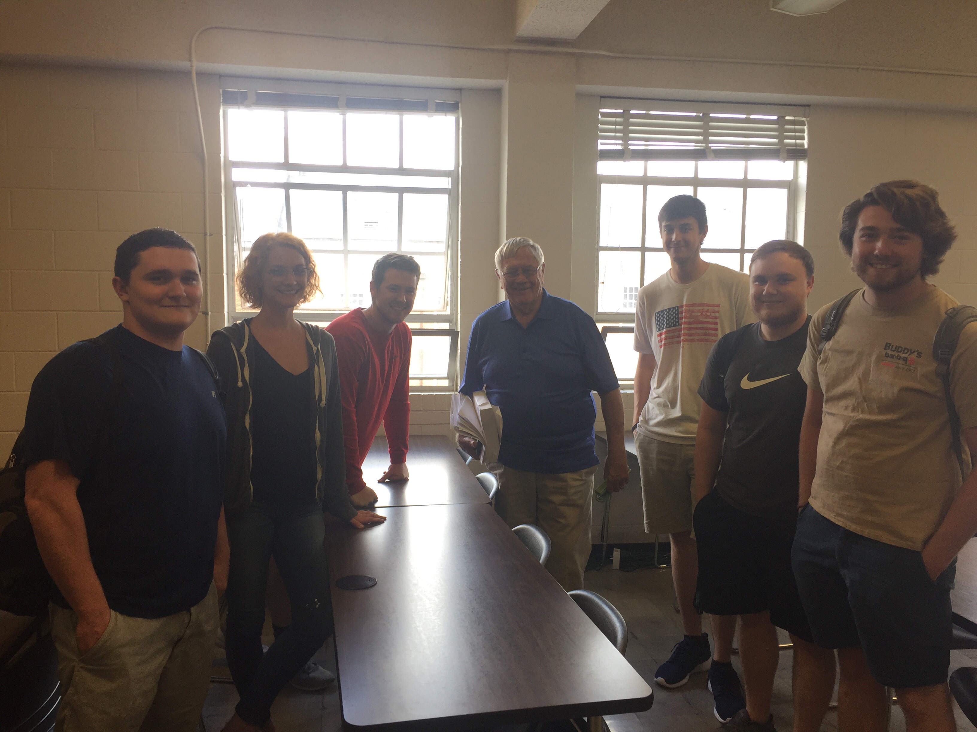
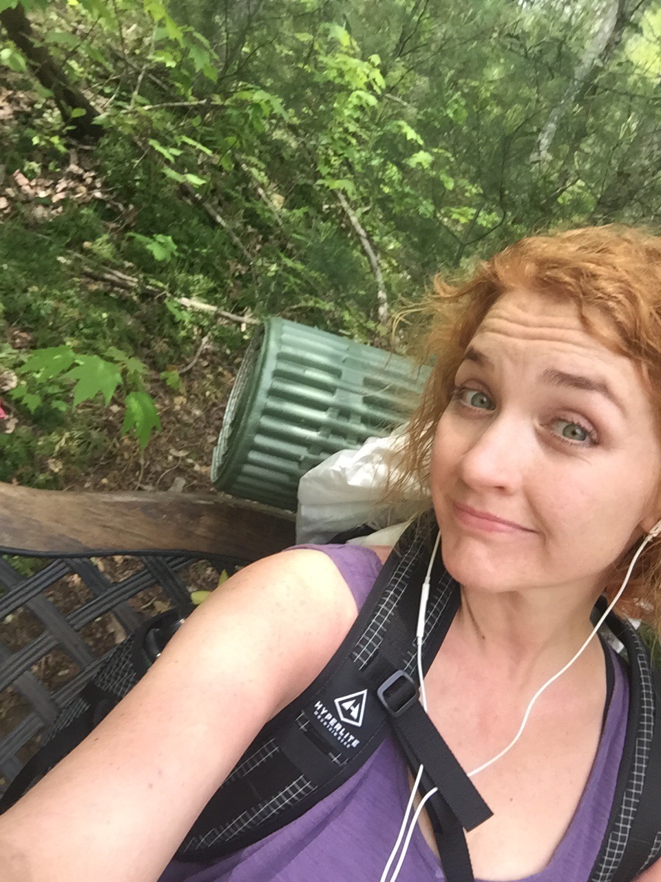
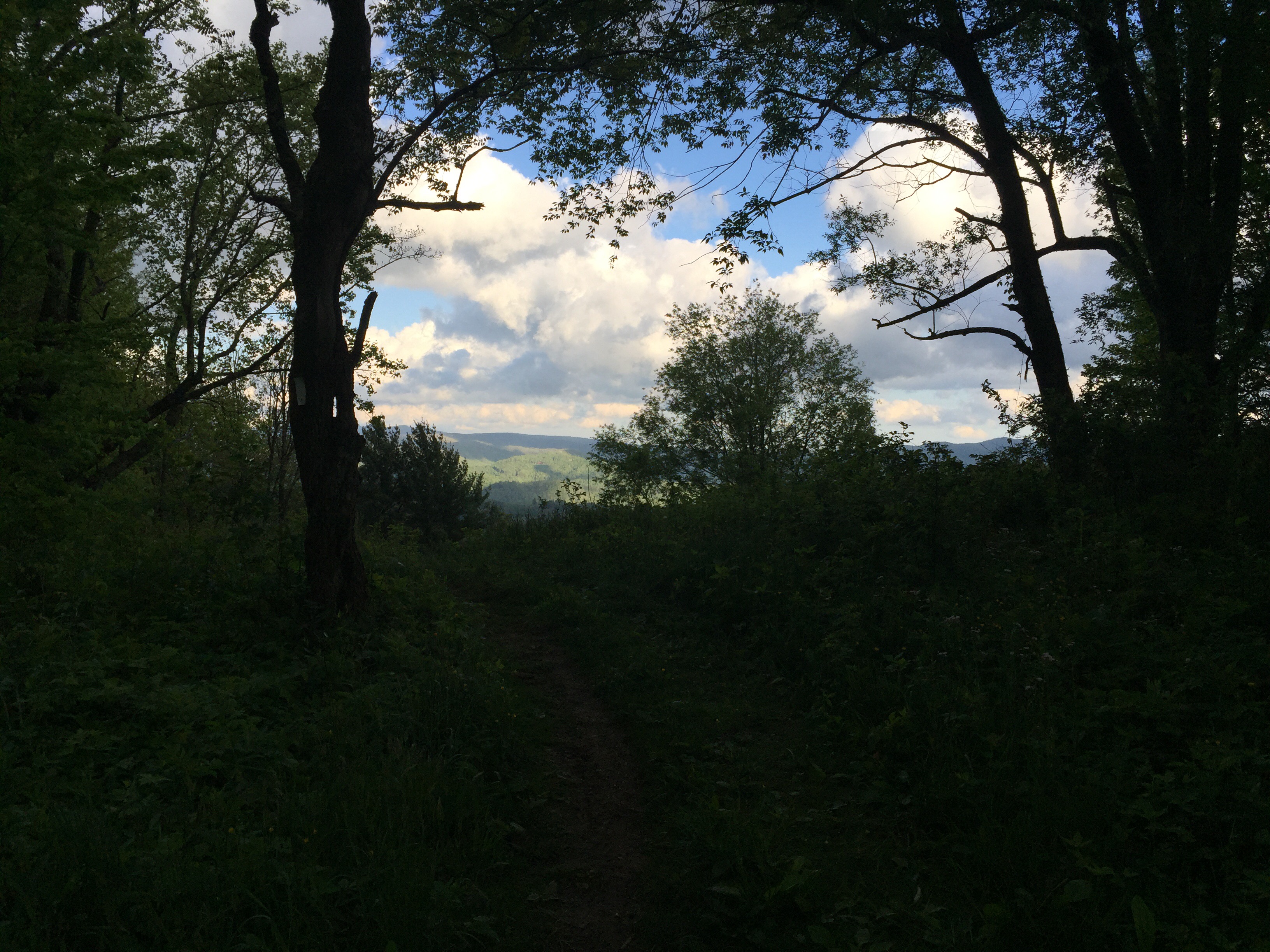
Found a bench. Sat for 10 seconds. My European buddy Maxipede caught up. We’ve been leapfrogging each other the past two days. He’s doing Harper’s Ferry south, I think. He’s done everything north. Good sort. He took my picture today.
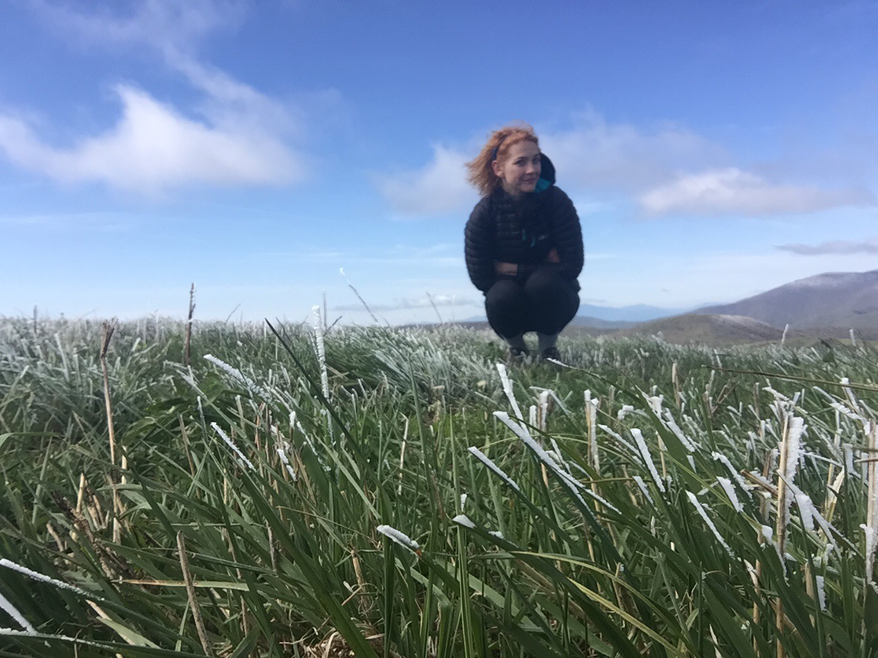
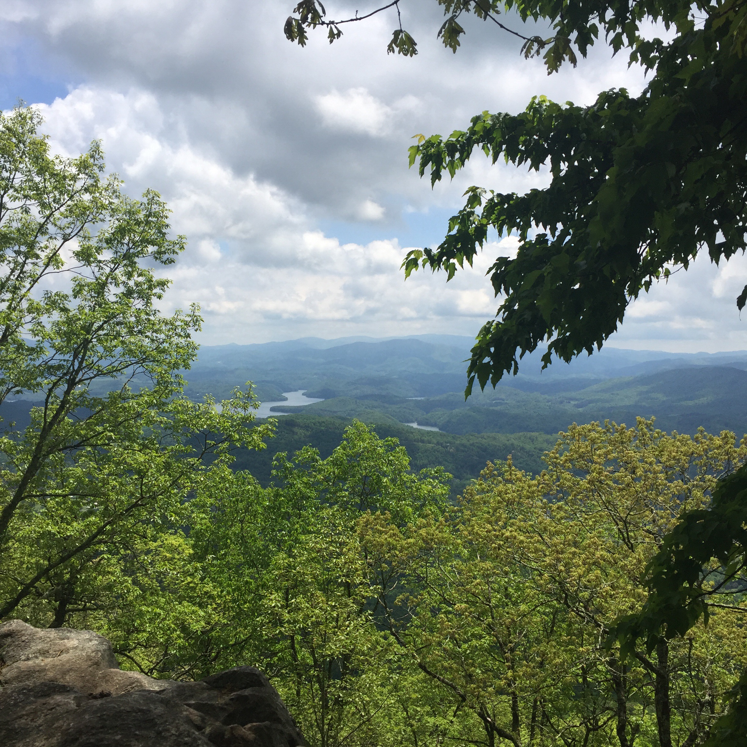
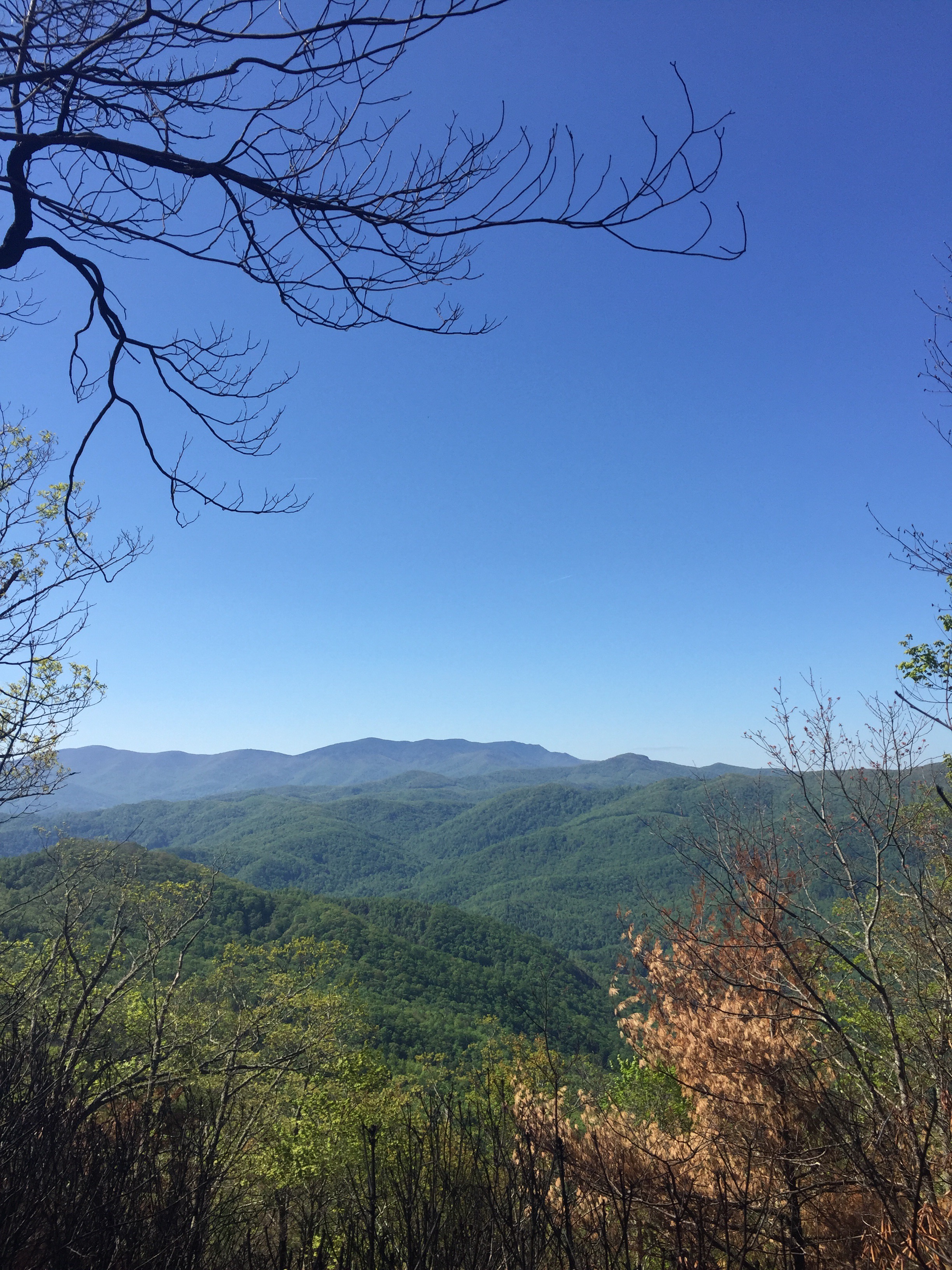
View from the bench
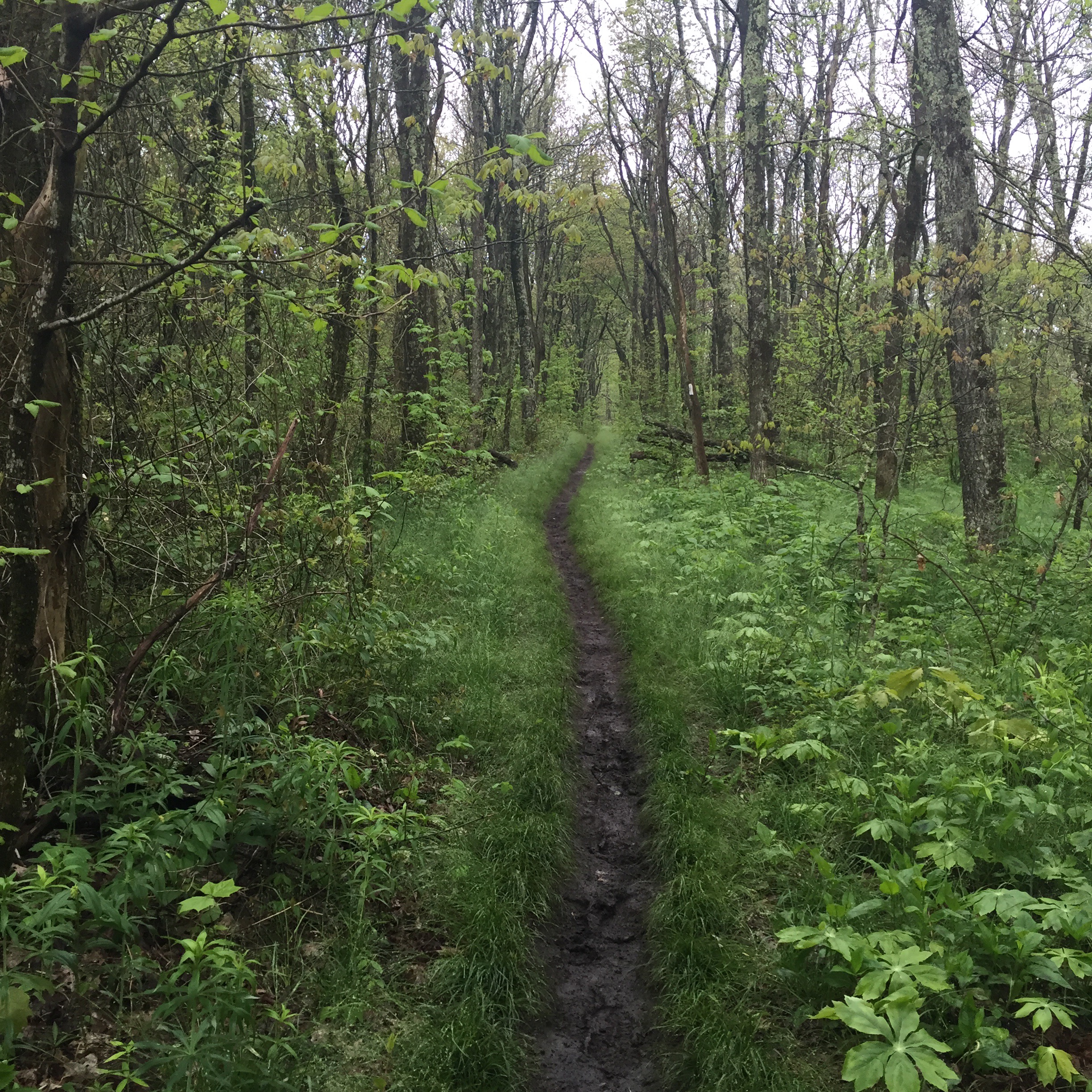
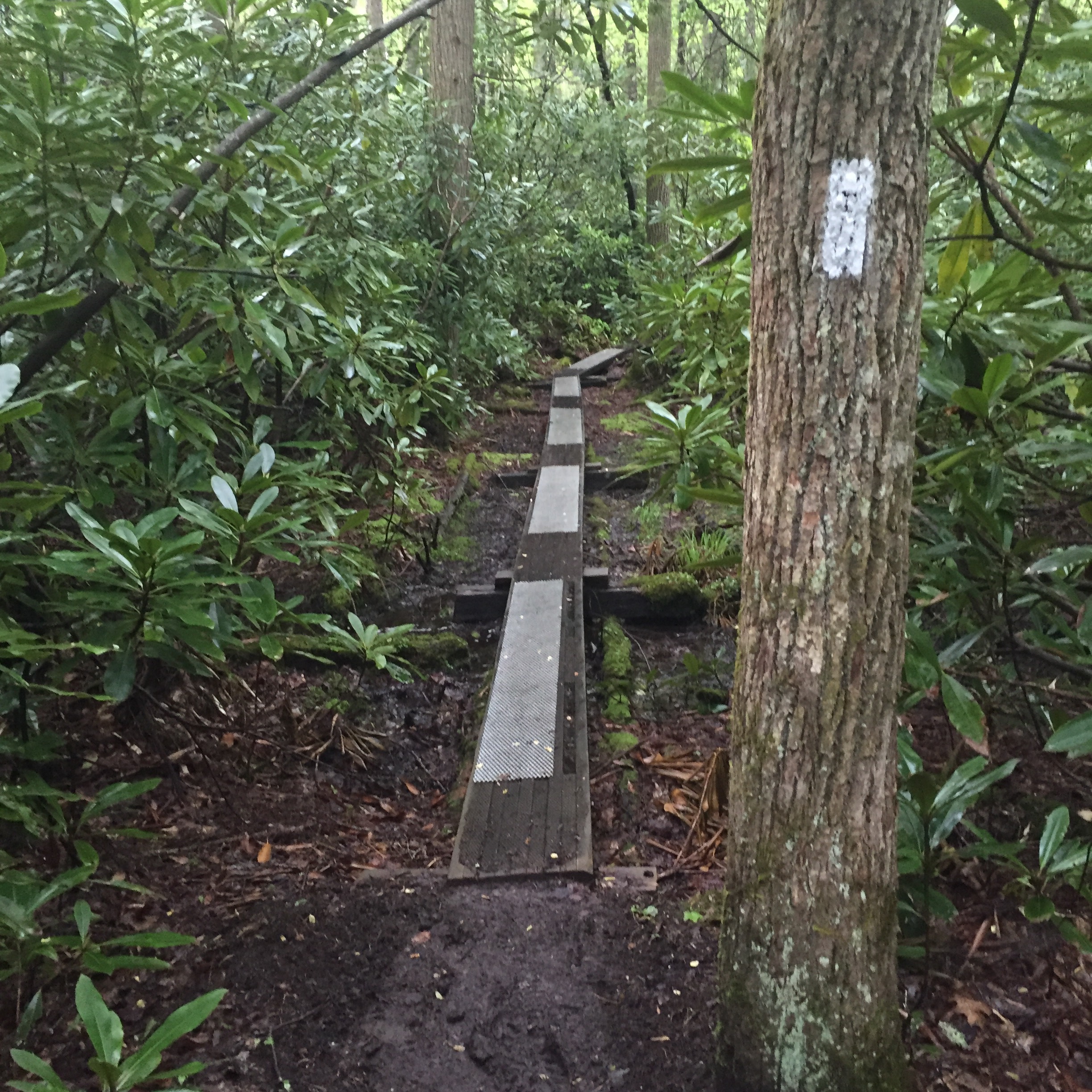
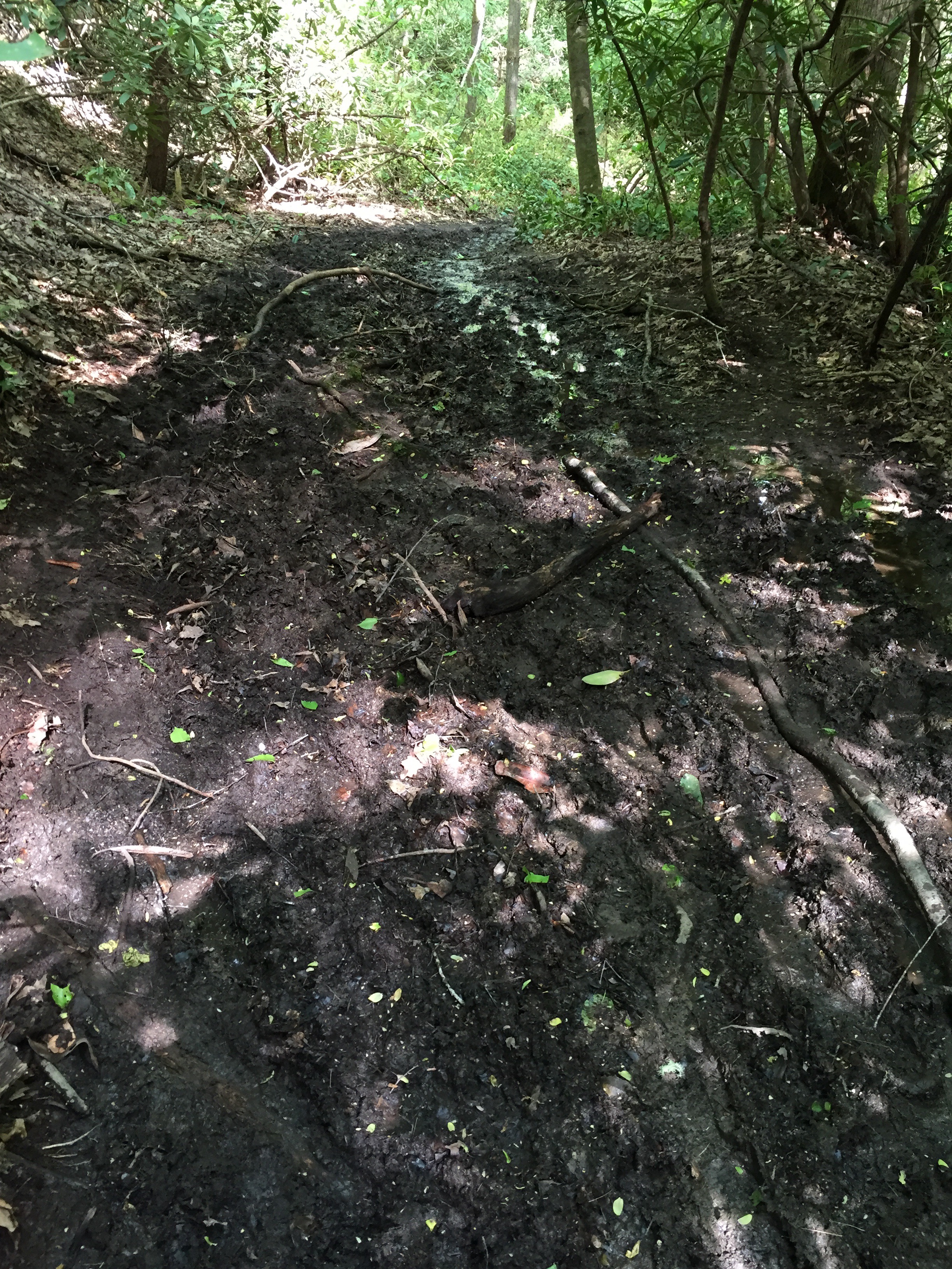
SO. MUCH. MUD.
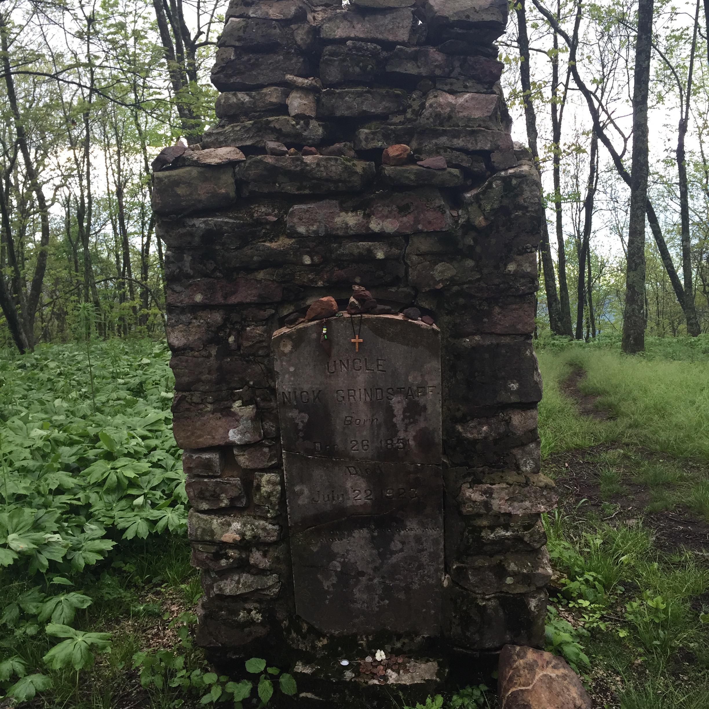
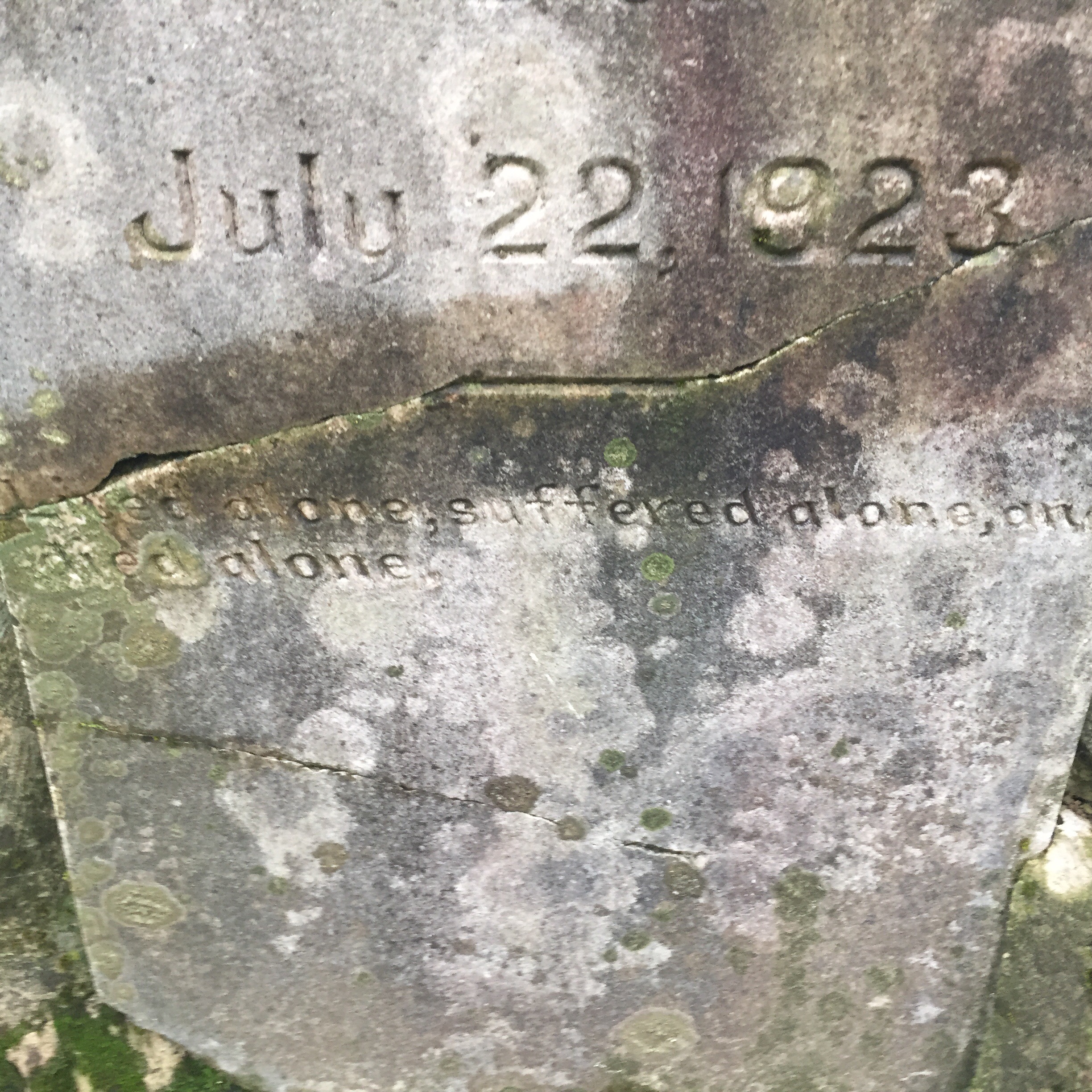
Here’s a cemetery. I would say “it me” except this was mile…24 and I was hurting too much to be dead.

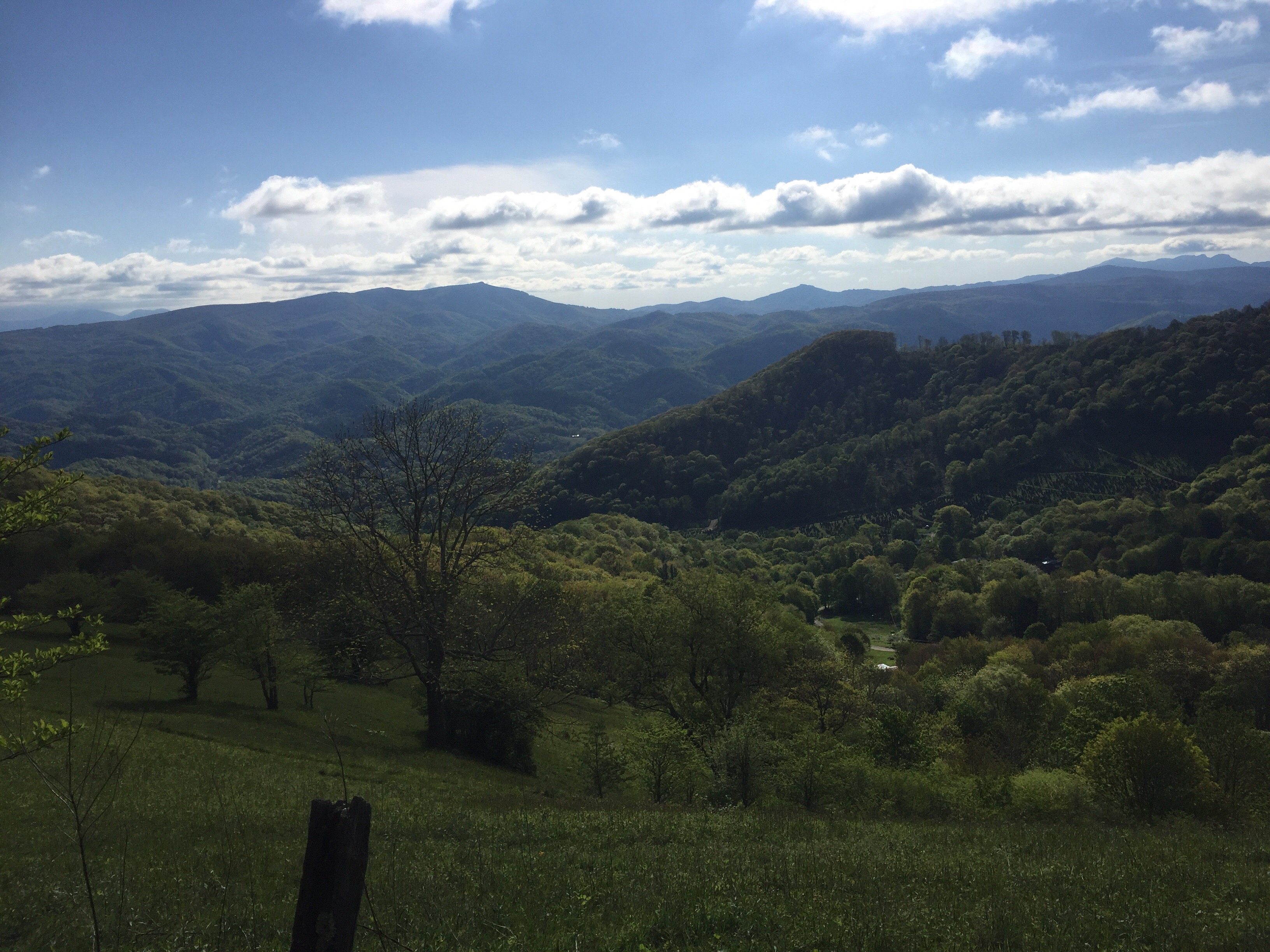
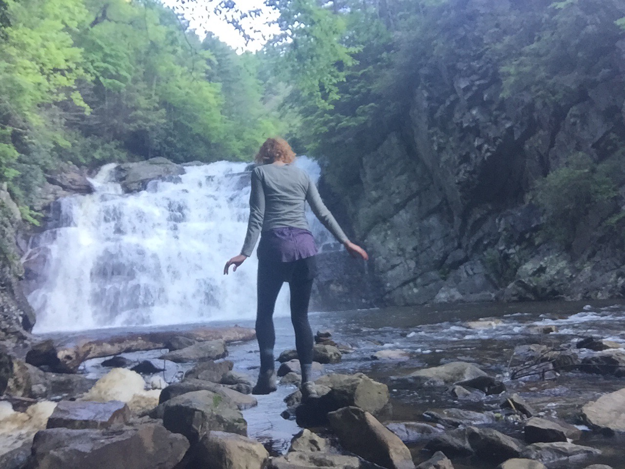
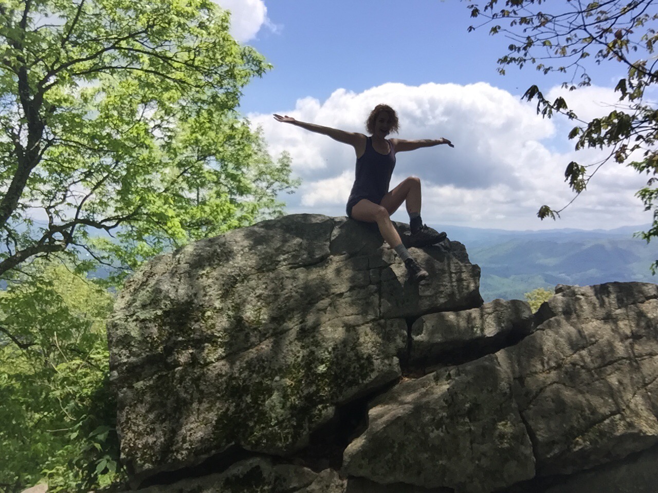
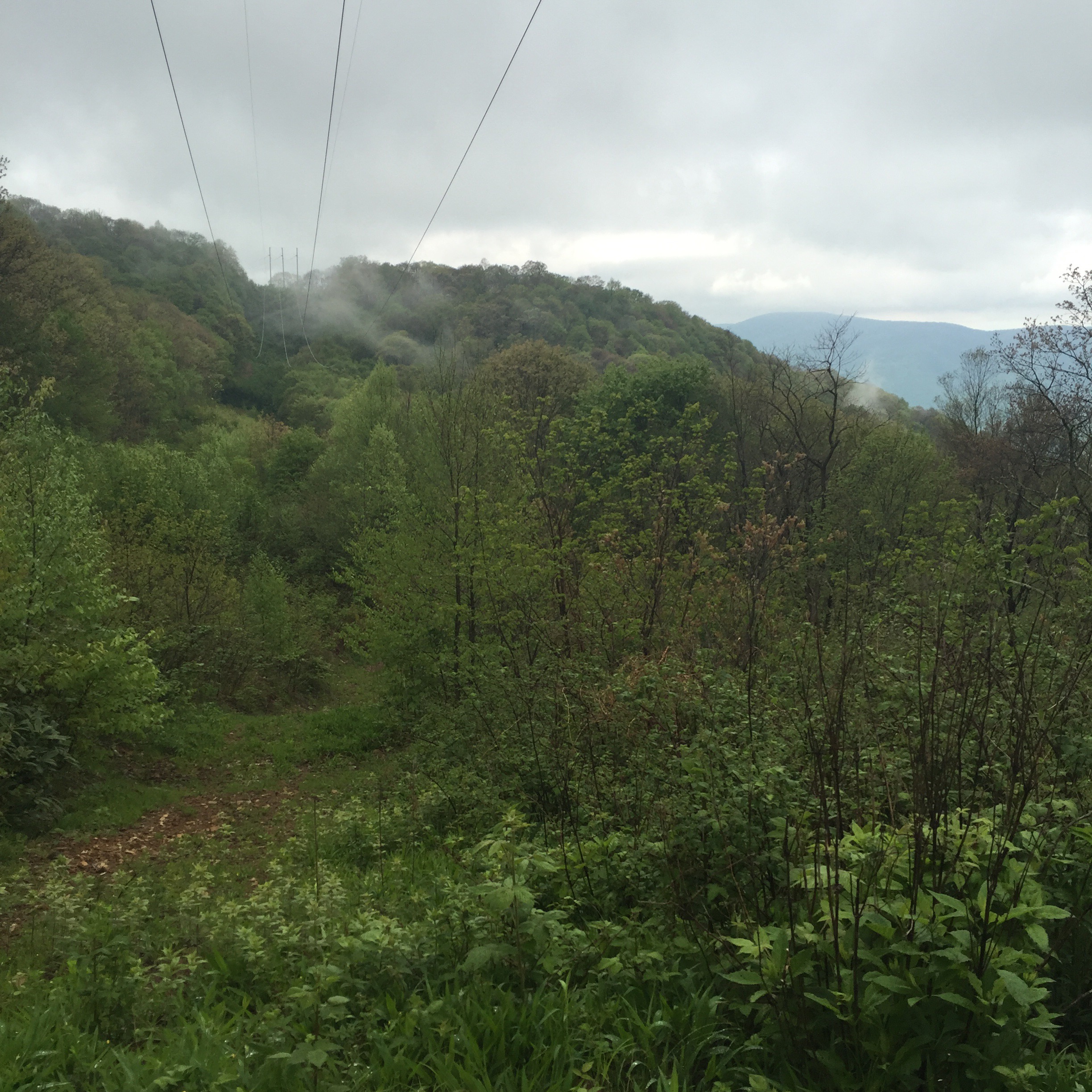
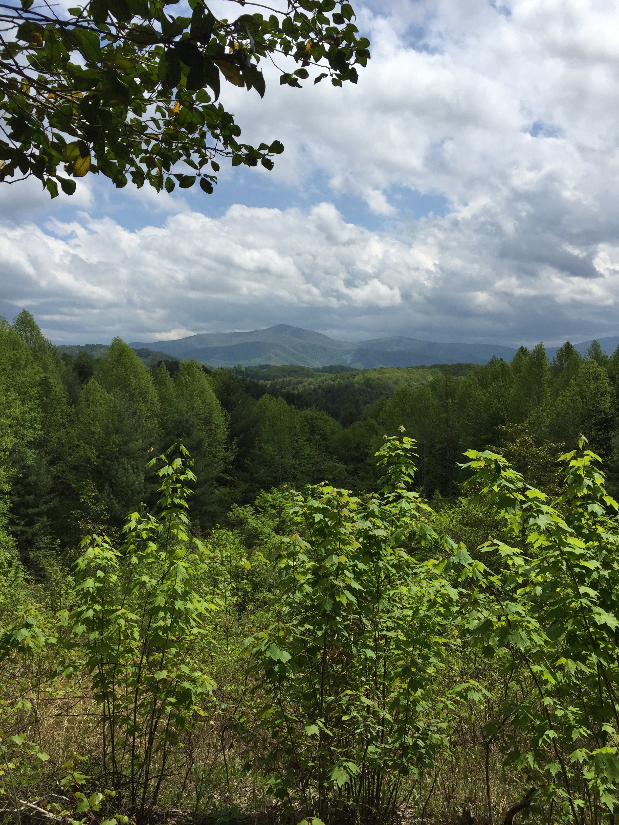
And yet again, I was rewarded with incredible views right when I thought I couldn’t make it. I had blisters on my blisters, my muscles were aching, I was making insane bargains with myself and fantasizing about eating an entire pizza…and then this.
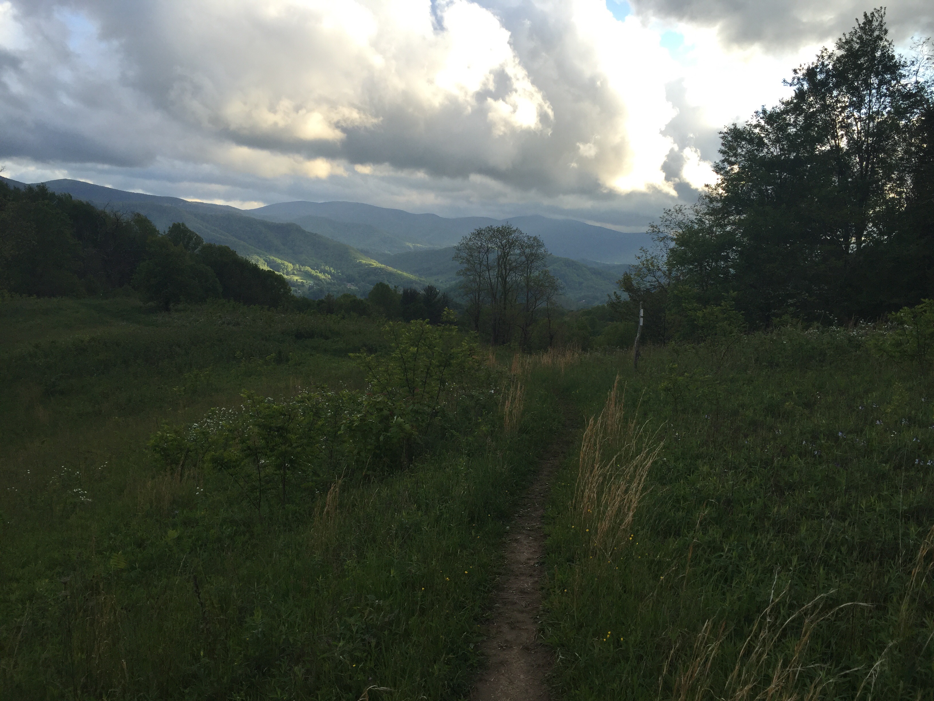
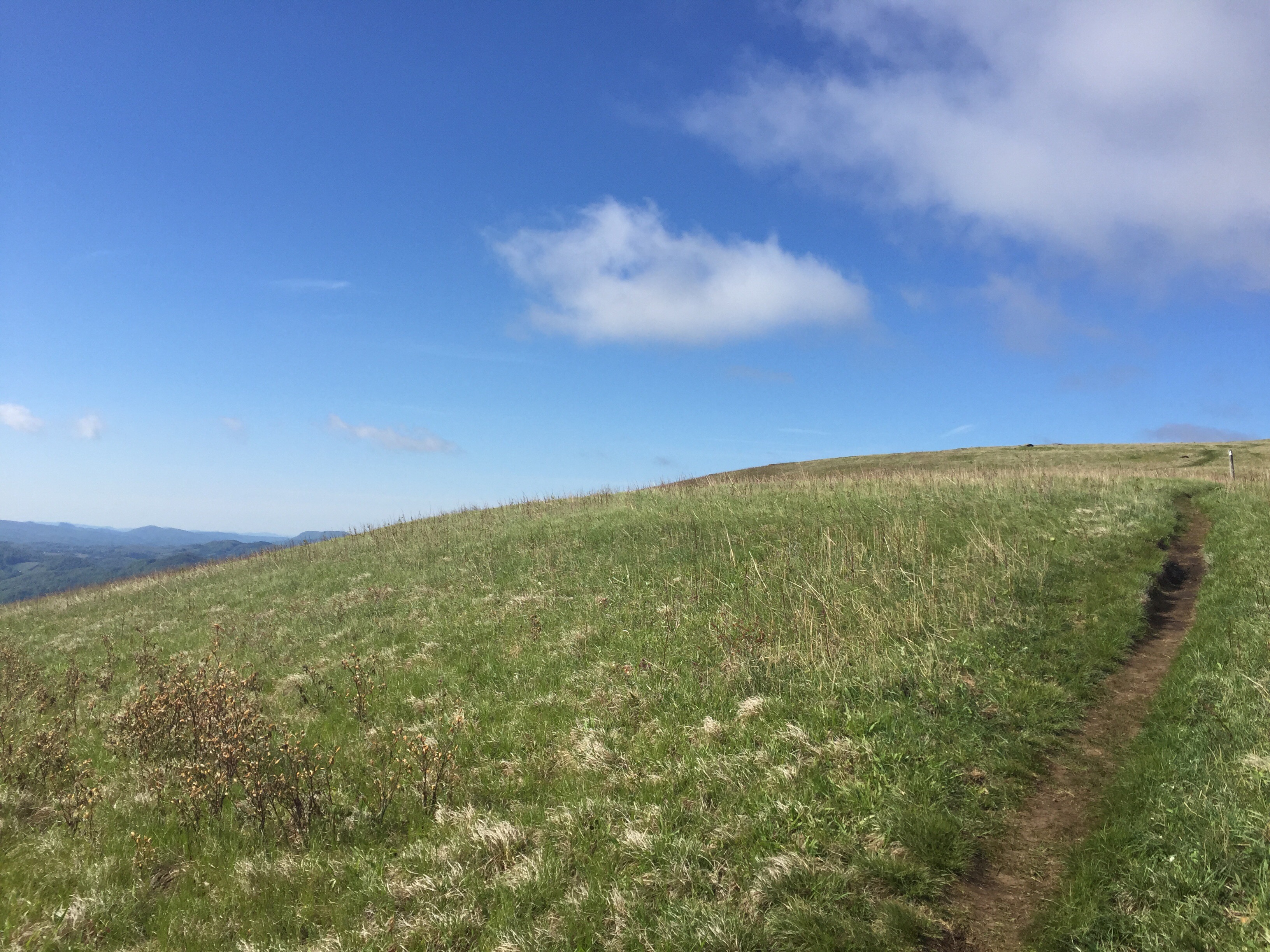
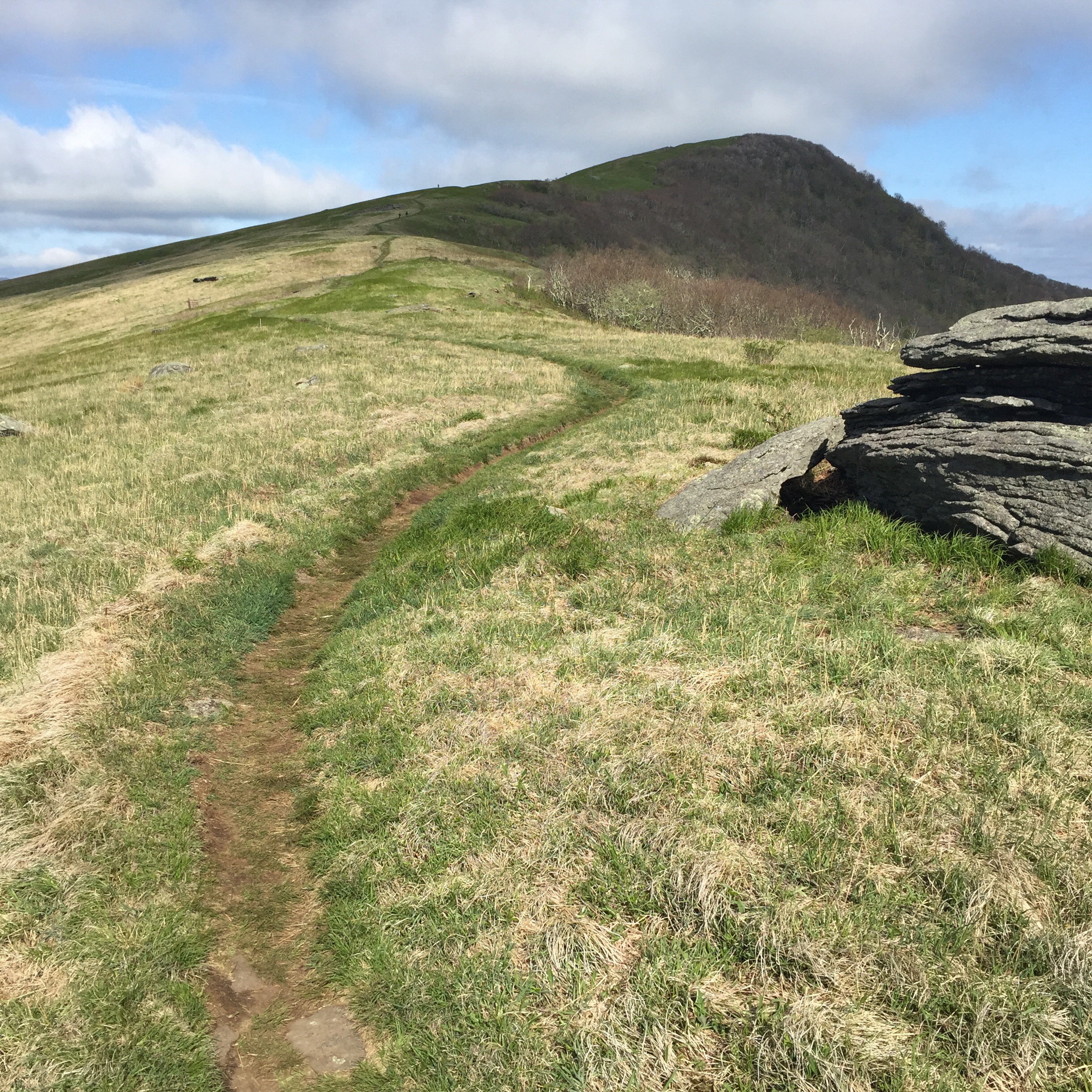
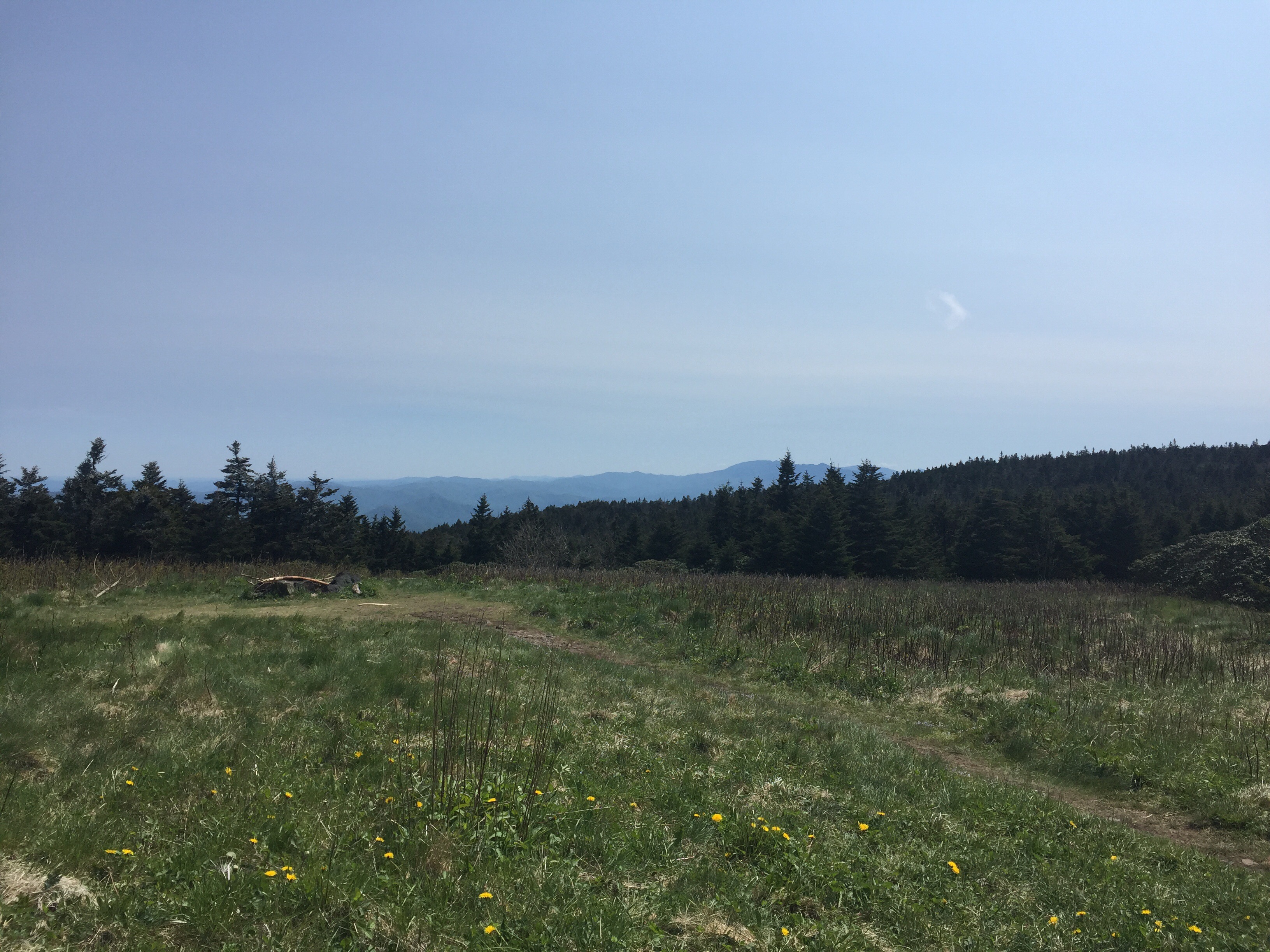
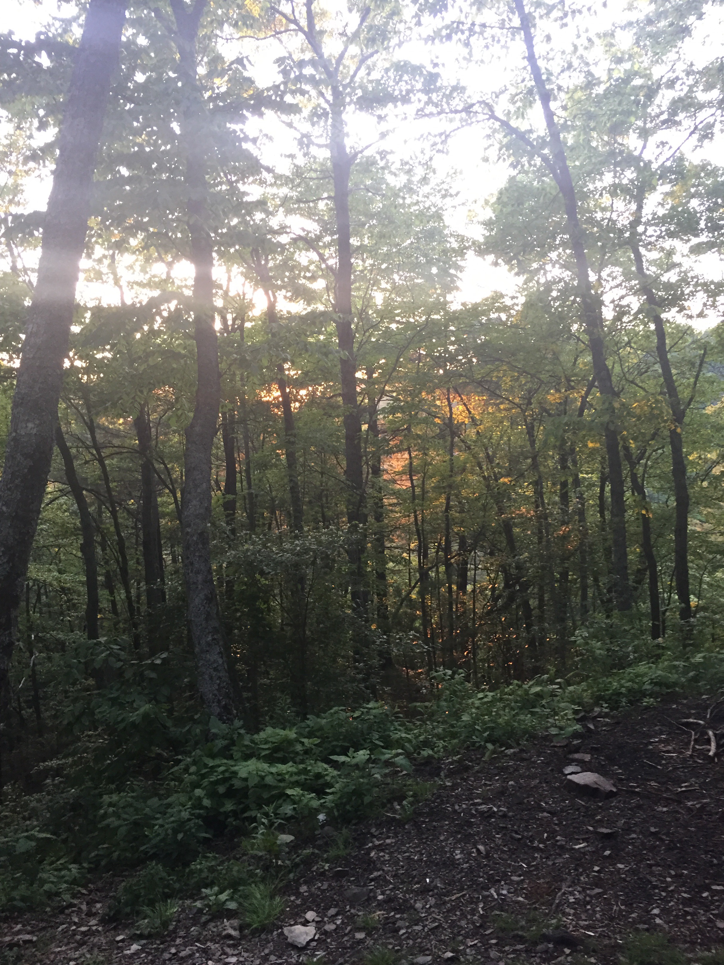
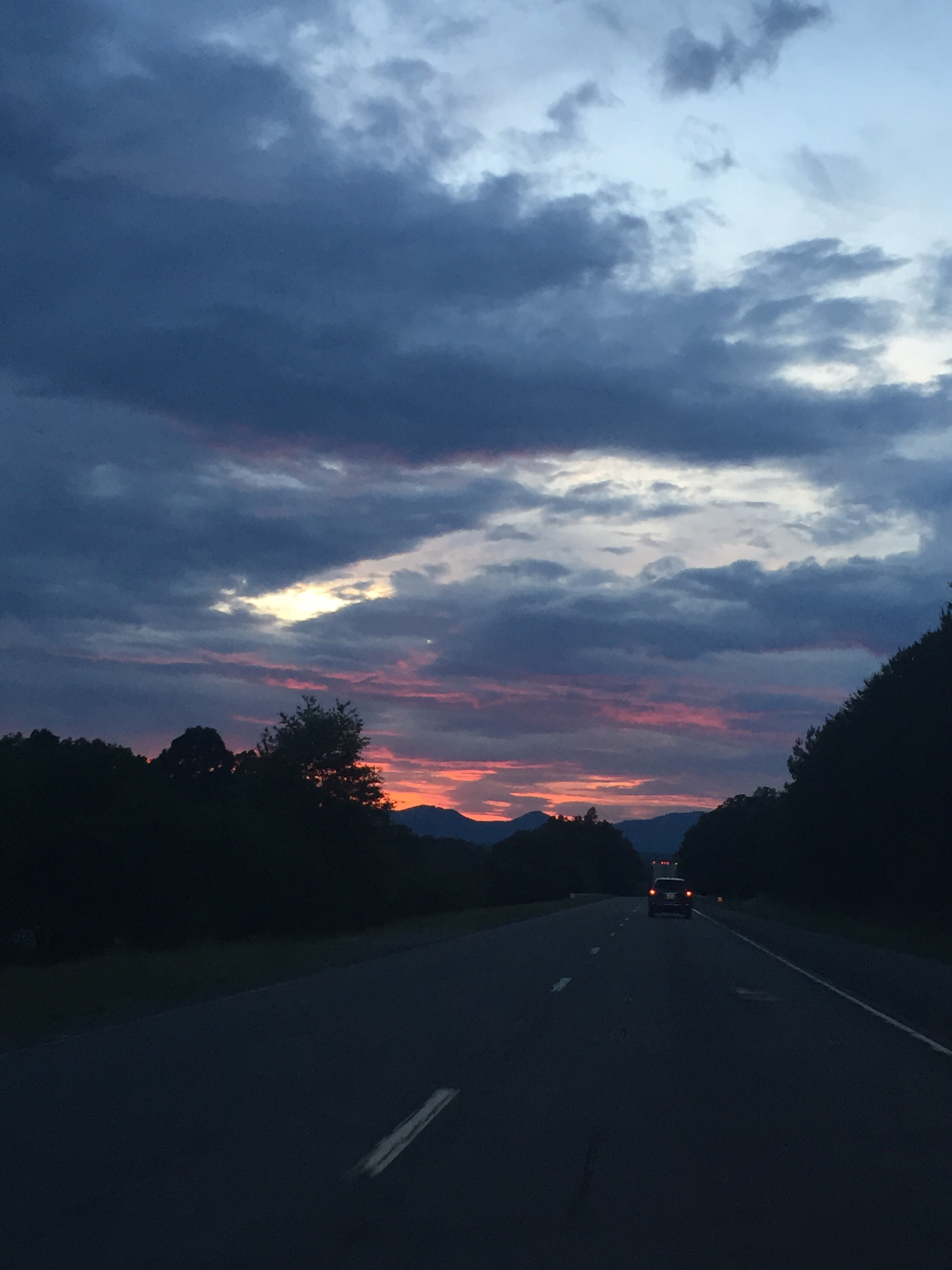
You know, you’re in these dark and shady woods, and up ahead you start to see a little more light filtering through. It’s a sudden thing, really. The woods just…end. It’s really great when you’re listening to T-Swift’s “Out of the Woods” when you break out into a meadow or onto a grassy bald, and the smell of the grass hits you (it’s sweet now, like hay) and the sun is out and even with the wind you just feel…lighter. I love the woods, too, the dark shadows and the filtered light and the birds darting around, but I think it’s the contrast. And hitting this one at magic hour, with the light turning golden and pink, it was just perfect.
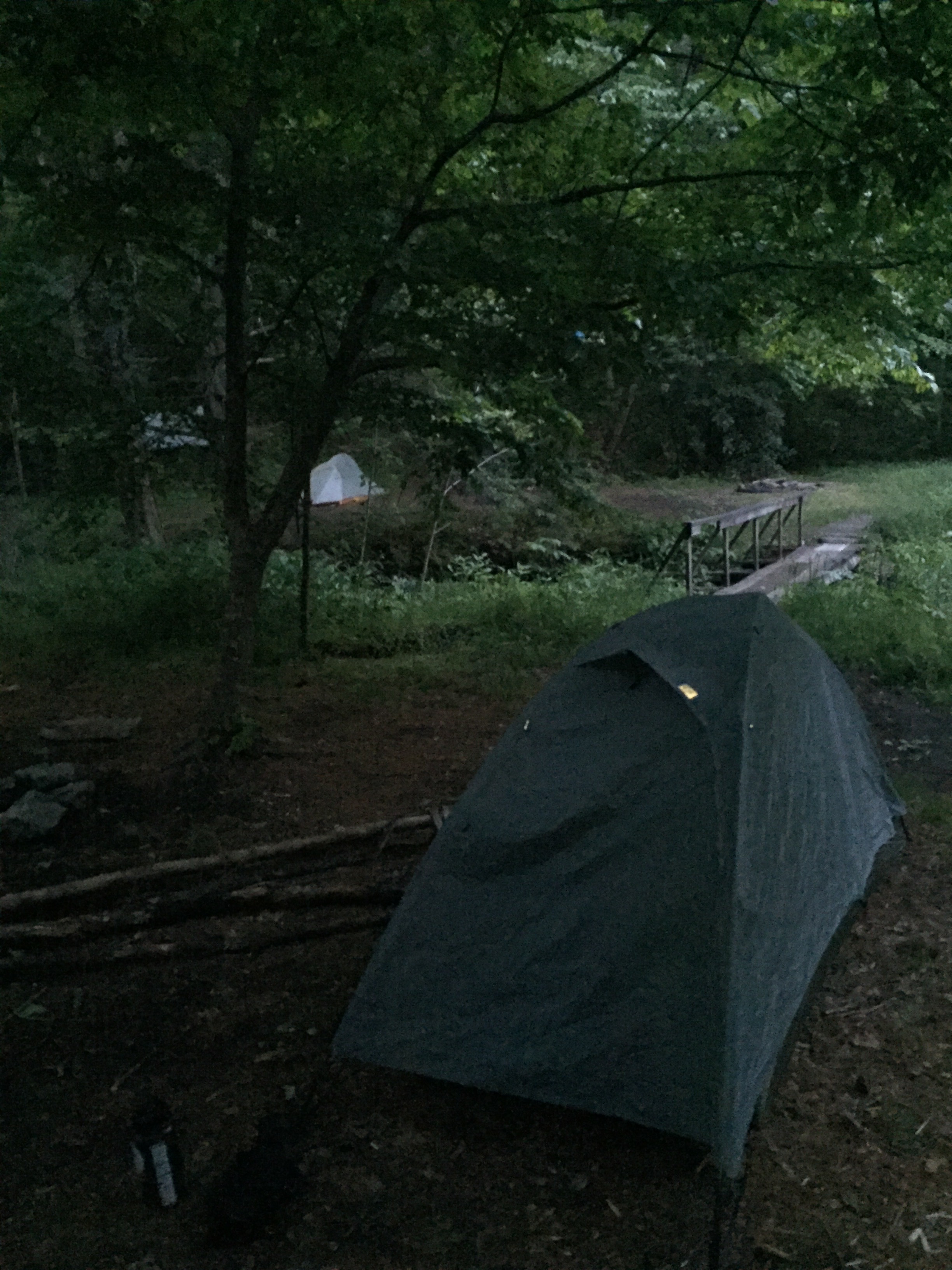
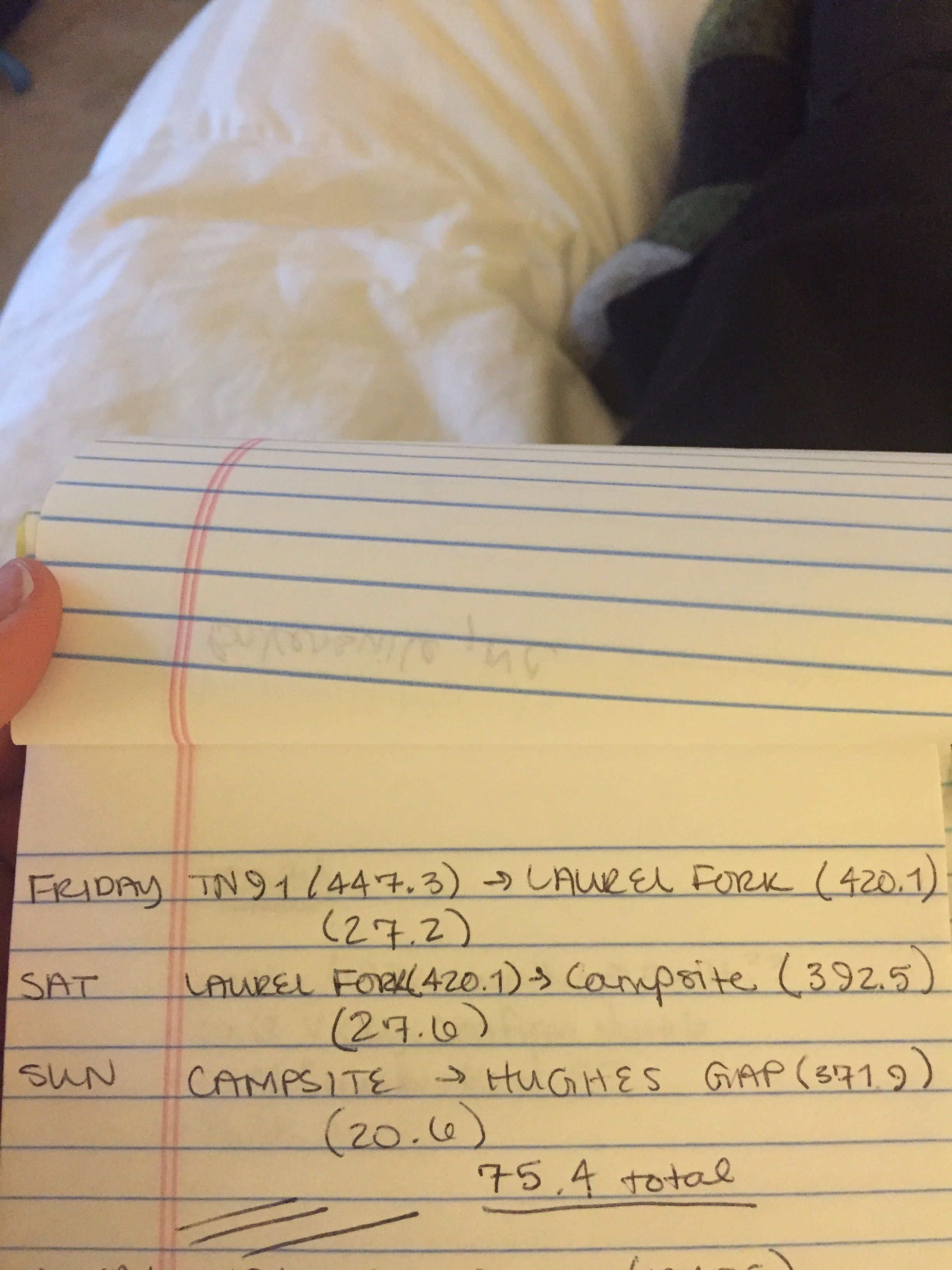
I made it 27 miles. I hit a campsite with a few guys and ate…some things that are perhaps not quite considered dinner. I bear bagged ON THE FIRST TRY* and tomorrow I’ll have 20.5 miles to go.

I’ve already popped 4 blisters tonight. This won’t get posted until tomorrow or Monday.
MVP: I’m not much of a music person, but my “lady jams” playlist (Miley Cyrus “Bangerz”, Haim, Grace Potter’s solo album) really got me through today. And Grace Potter was the cause of the unfortunate hike-dance injury.
LVP: that ashtray taste.
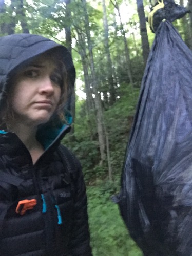
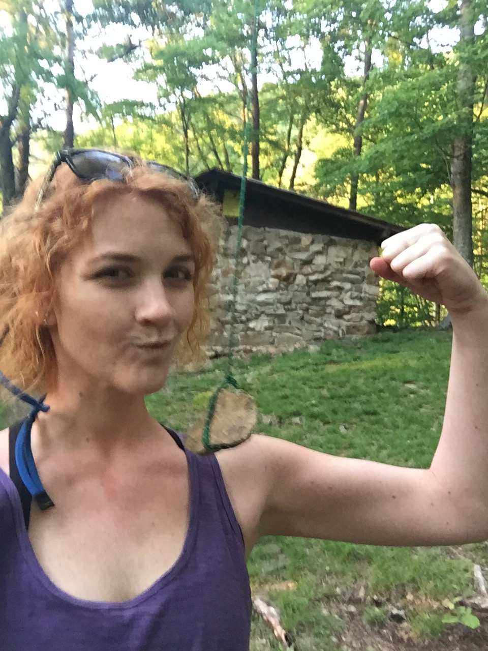
* my bear bag rope is reflective, so even though I was camped across a bridge from the guys and it was dark, they could very easily see what I was doing when I went off to hang my food. I picked out my branch, tied a rock to my rope, and psyched myself up. “Ok, lindsey. Let’s do this. Don’t look like an idiot section hiker. Think about hyperbolas. You’re good at calculus. You’ve totally got this.” One, two, three, four swings, I let loose, and that rock swung up and over the branch EXACTLY where I wanted it. I looked so freaking smooth.
For the record, they hung their food on a line strung between two trees and they acknowledged that it was too low.