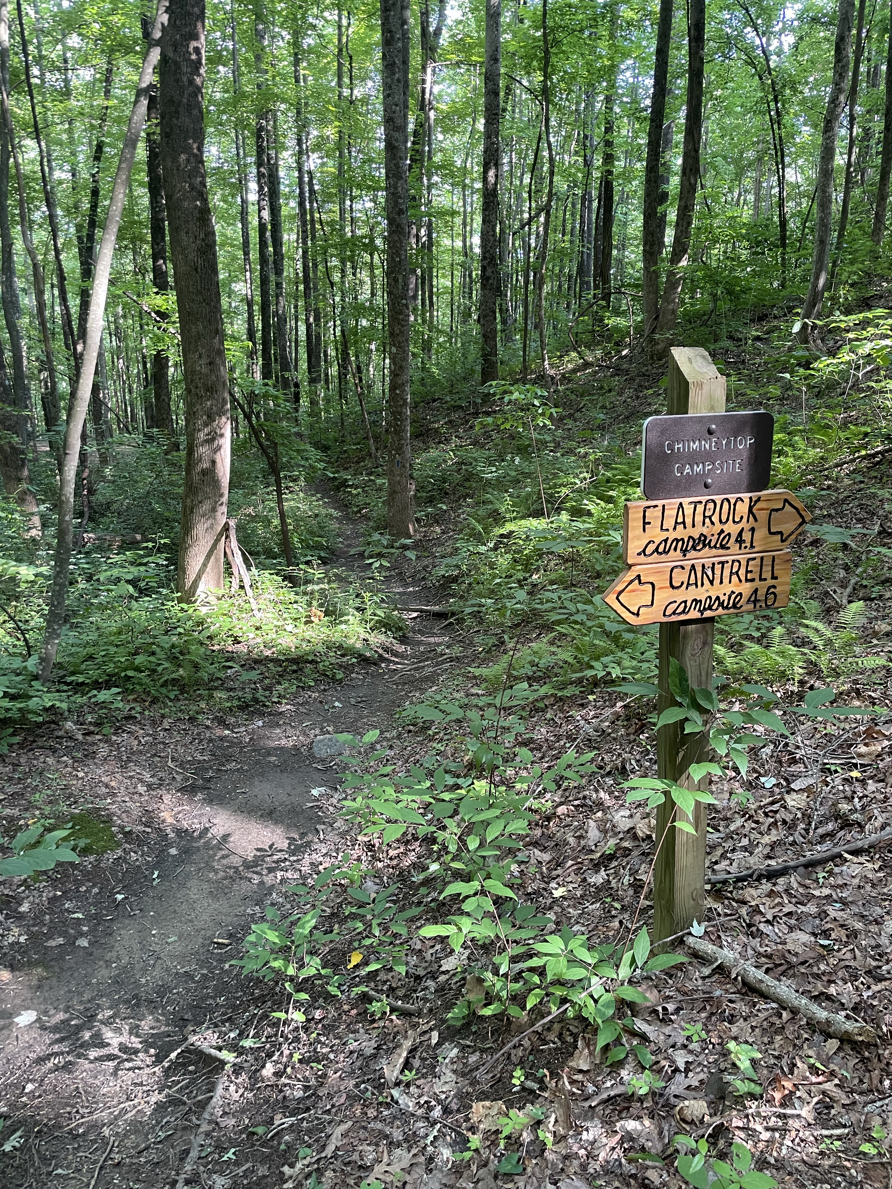
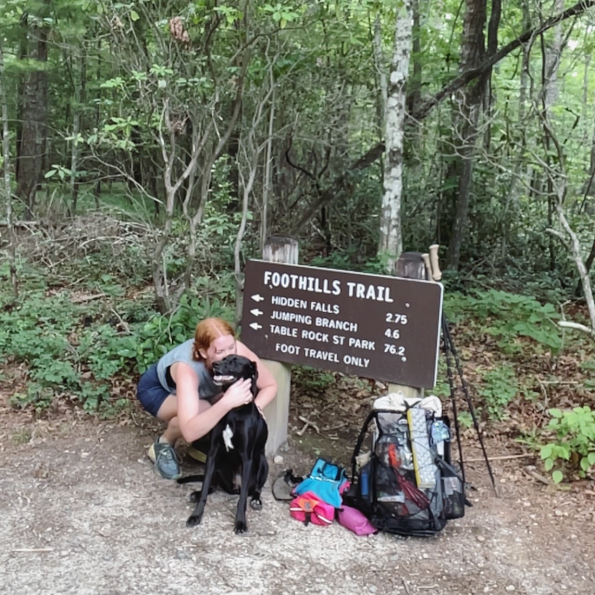
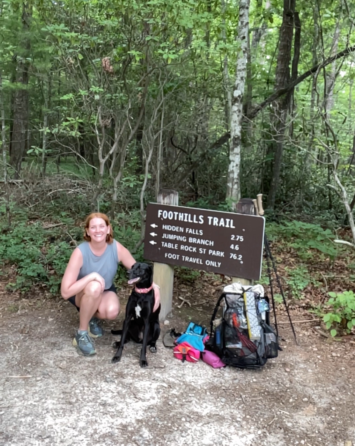
Day 1: table rock to chimney top gap
It’s been so long since I’ve written that I completely forgot to write last night, so here are my recollections.
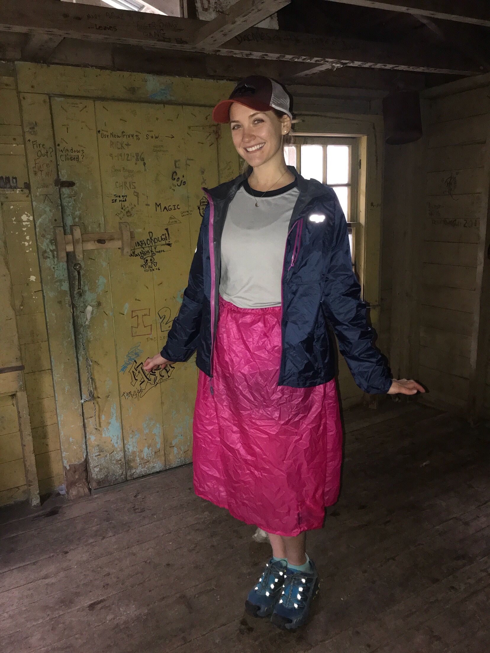
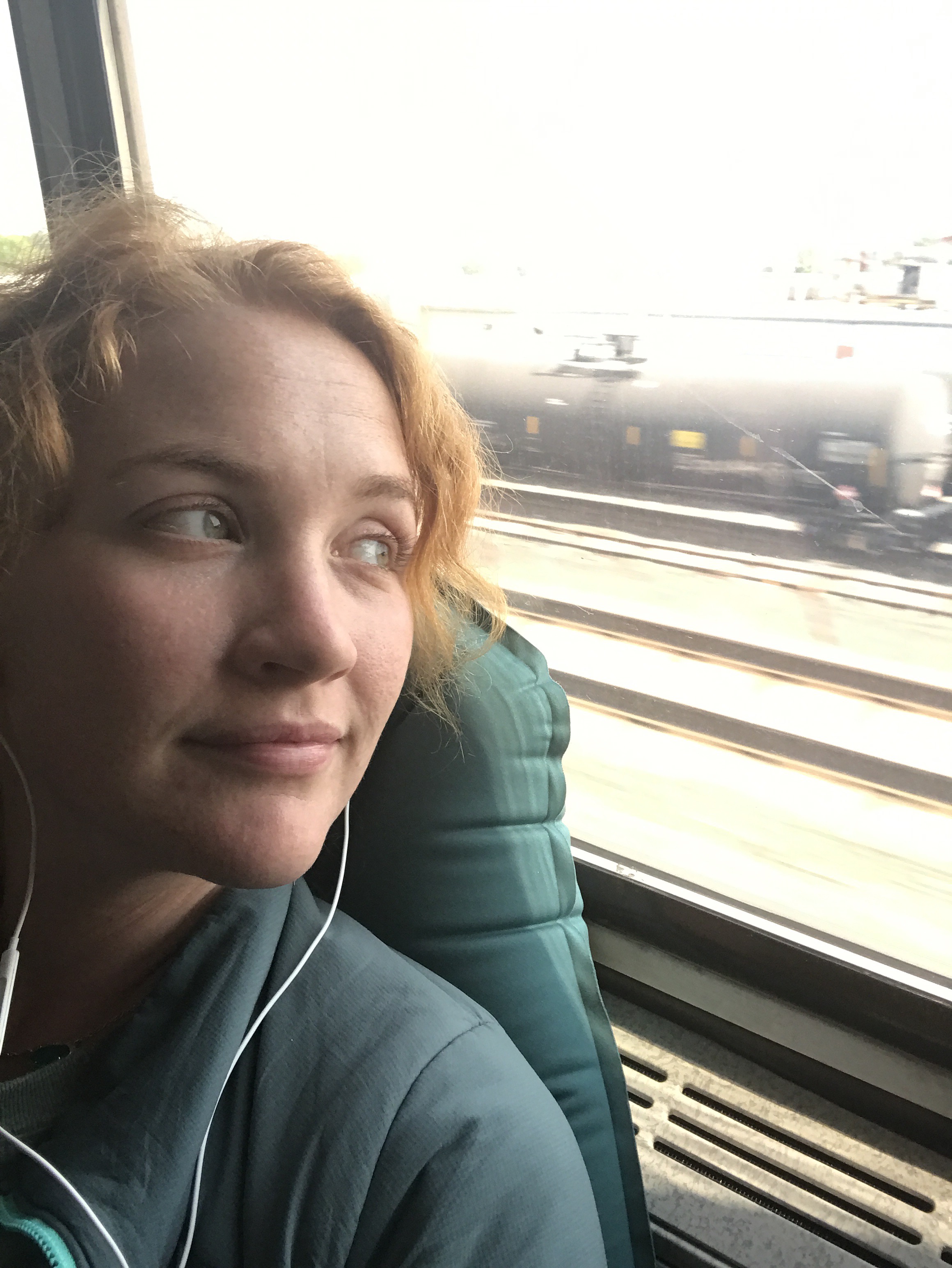
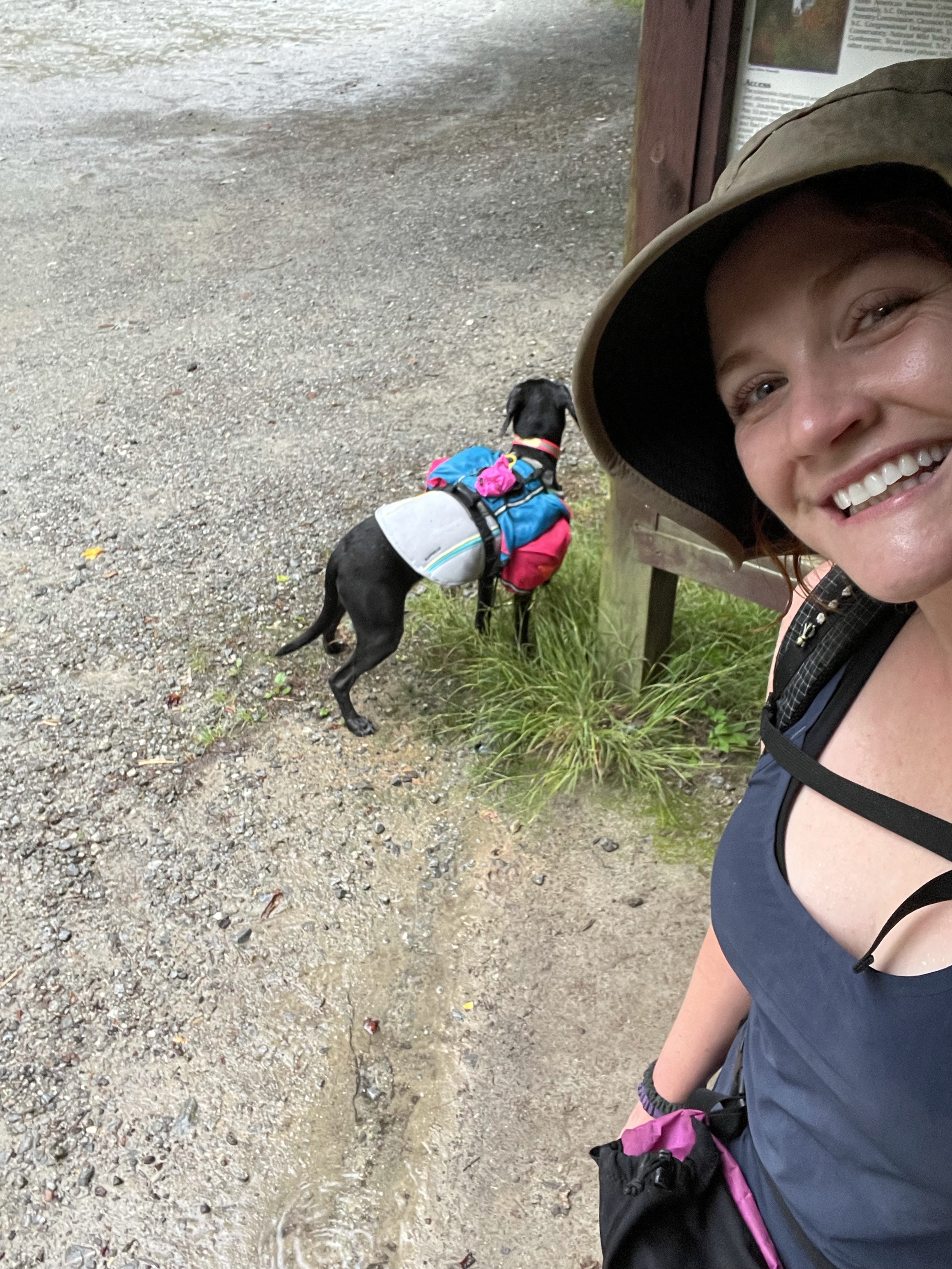
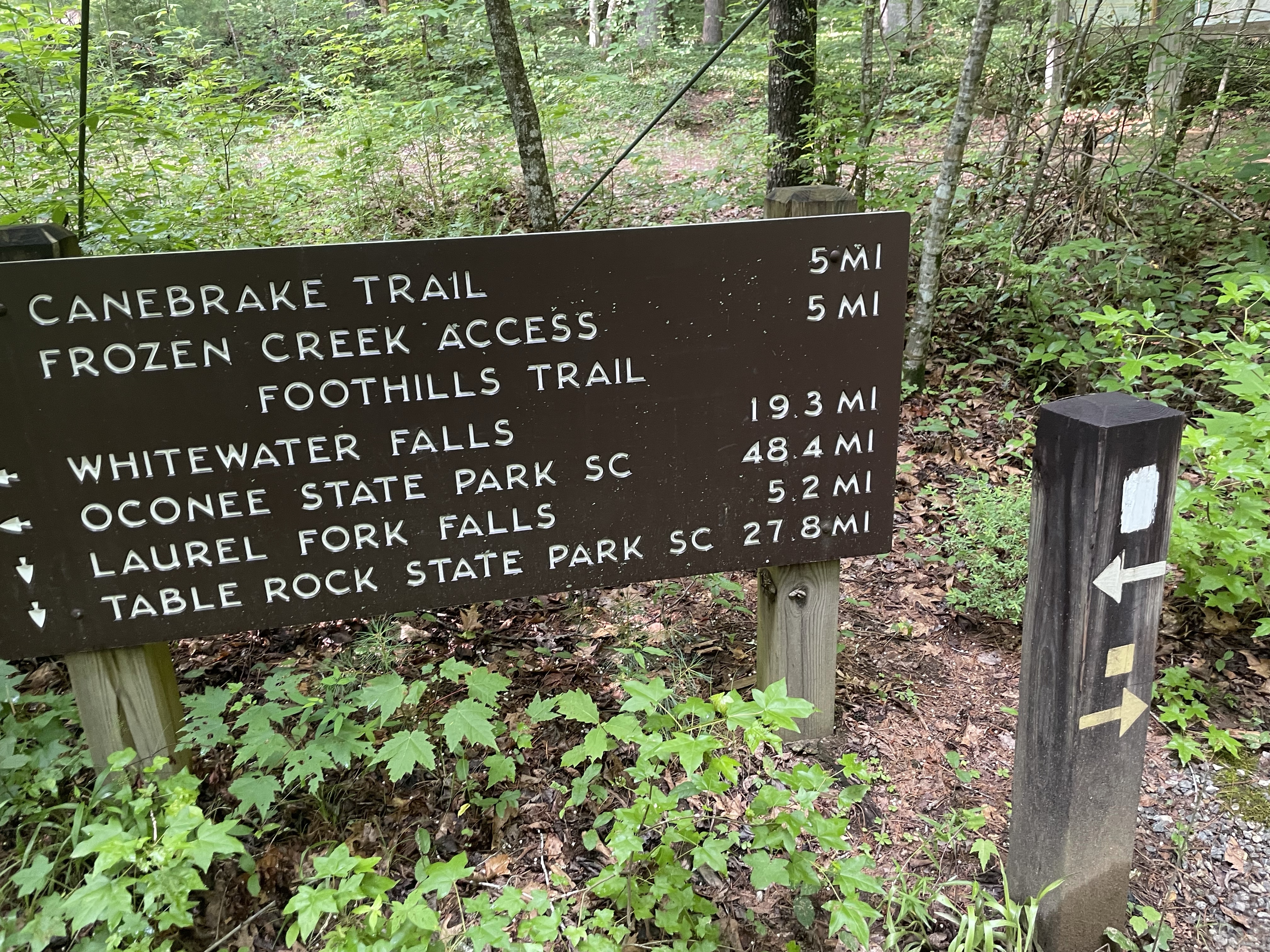
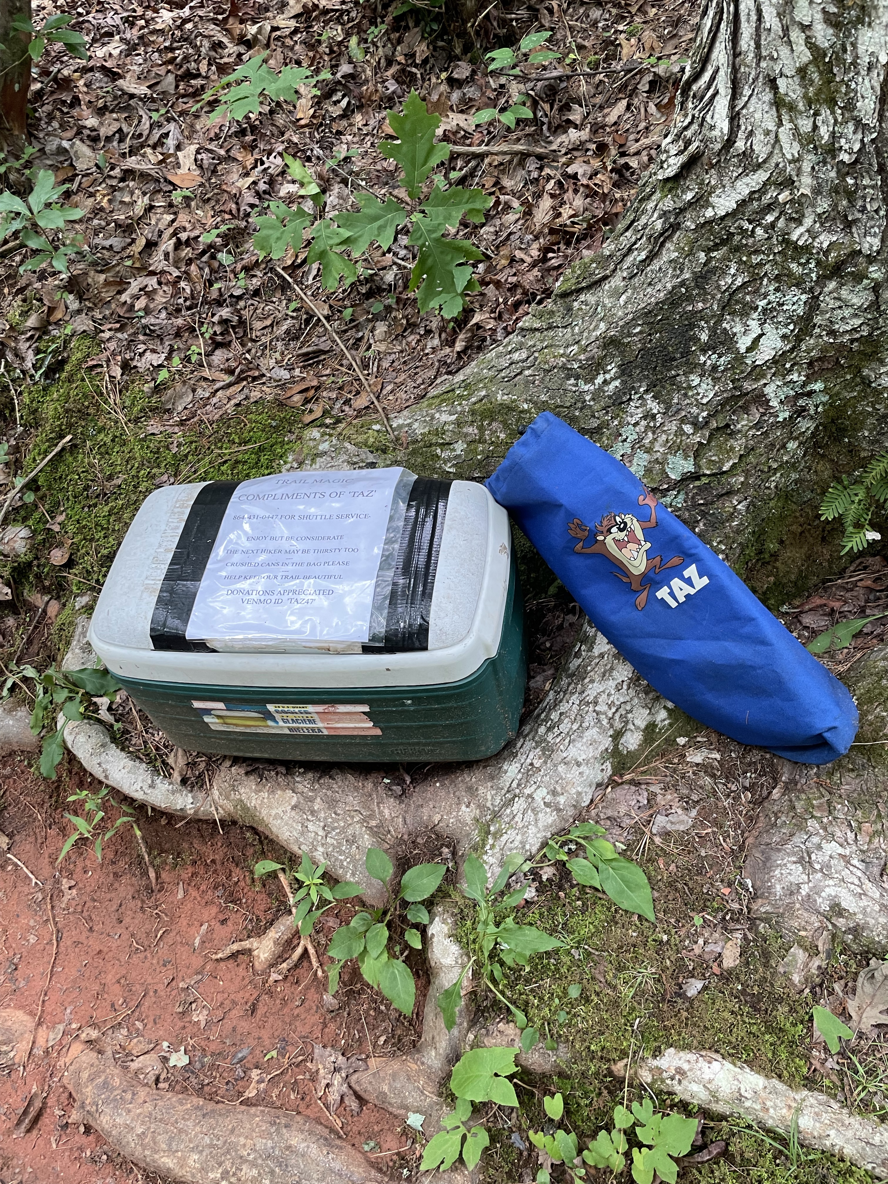
Tellico and I woke up in my car, parked on the side of a gravel road. We drove the 10 min into Oconee SP, turned the car upside down looking for a pen to fill out my car registration (eventually used a chalk marker), and pulled into the lot. My shuttle driver, Taz, was already there, so I was a little flustered getting all of the last minute things together.
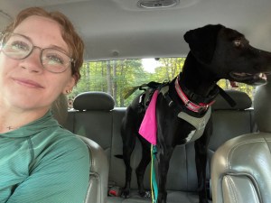
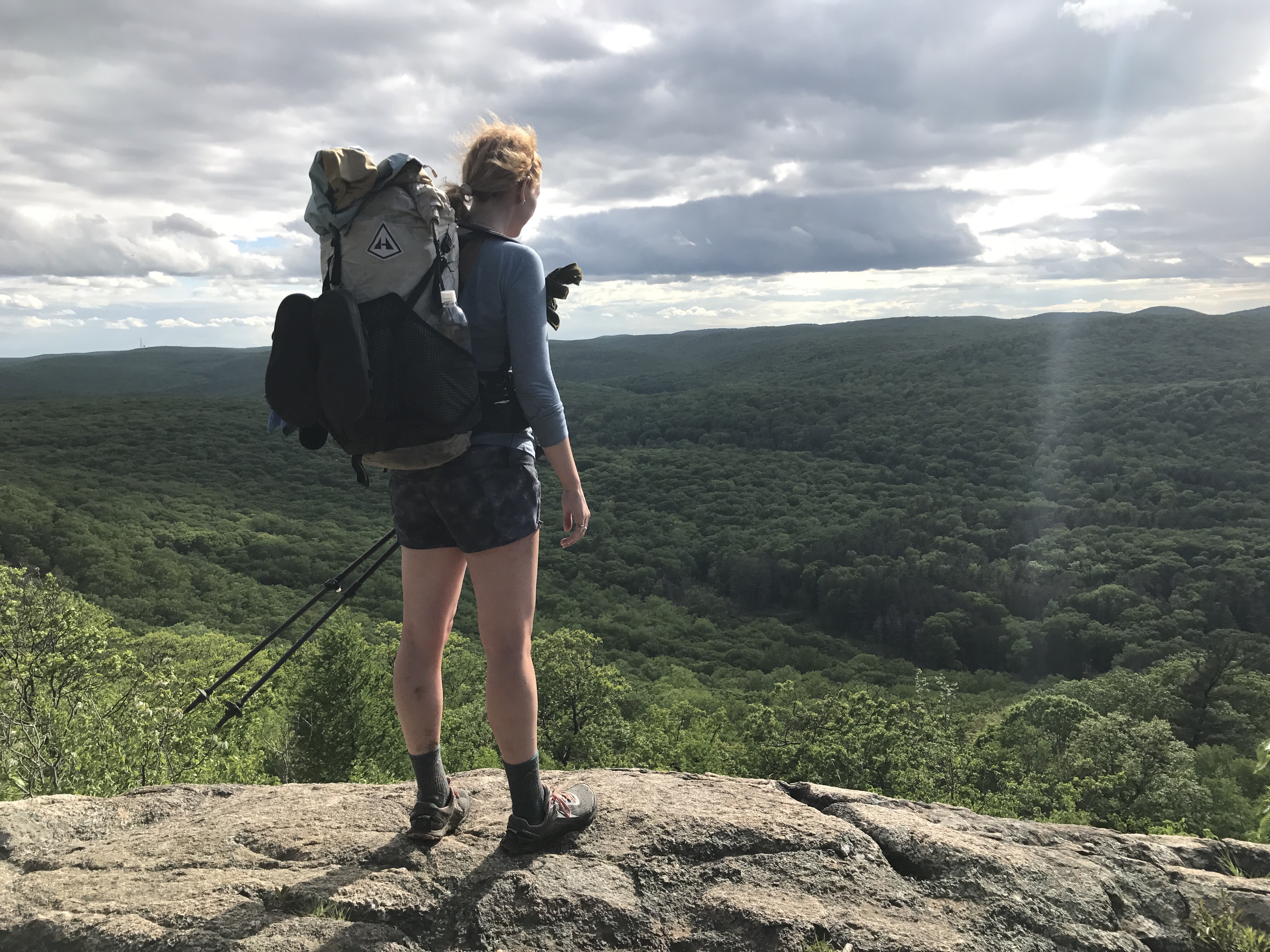
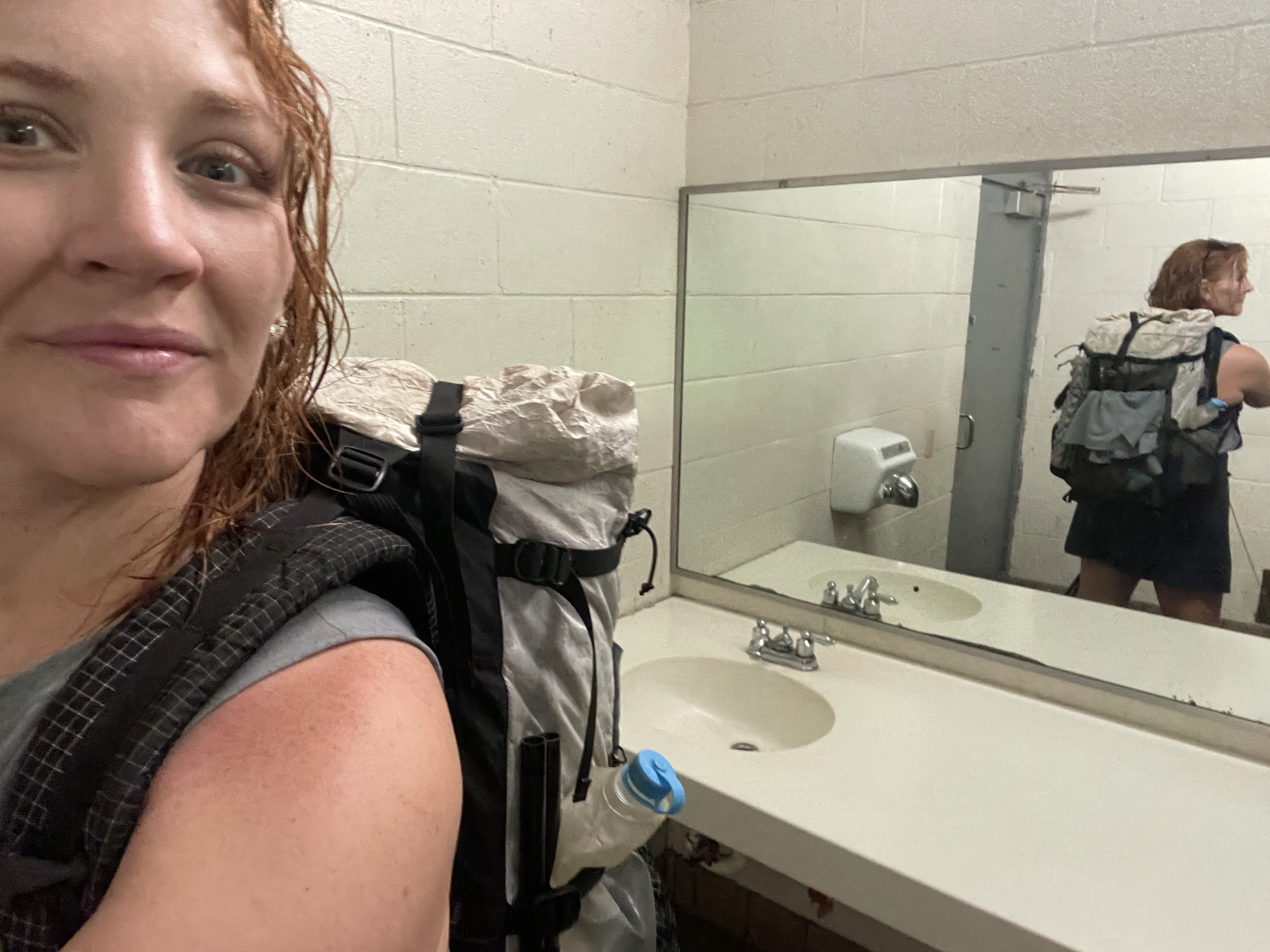
We hopped in the car and headed off, stopping at a trailhead to refresh Taz’s trail magic cooler, then stopping at another to hide my food cache, and finally to Table Rock. We parked, he weighed my pack (21 lbs with food and water! Pretty good. He seemed impressed), and after I filled out my hiker registration card I set off on the trail.


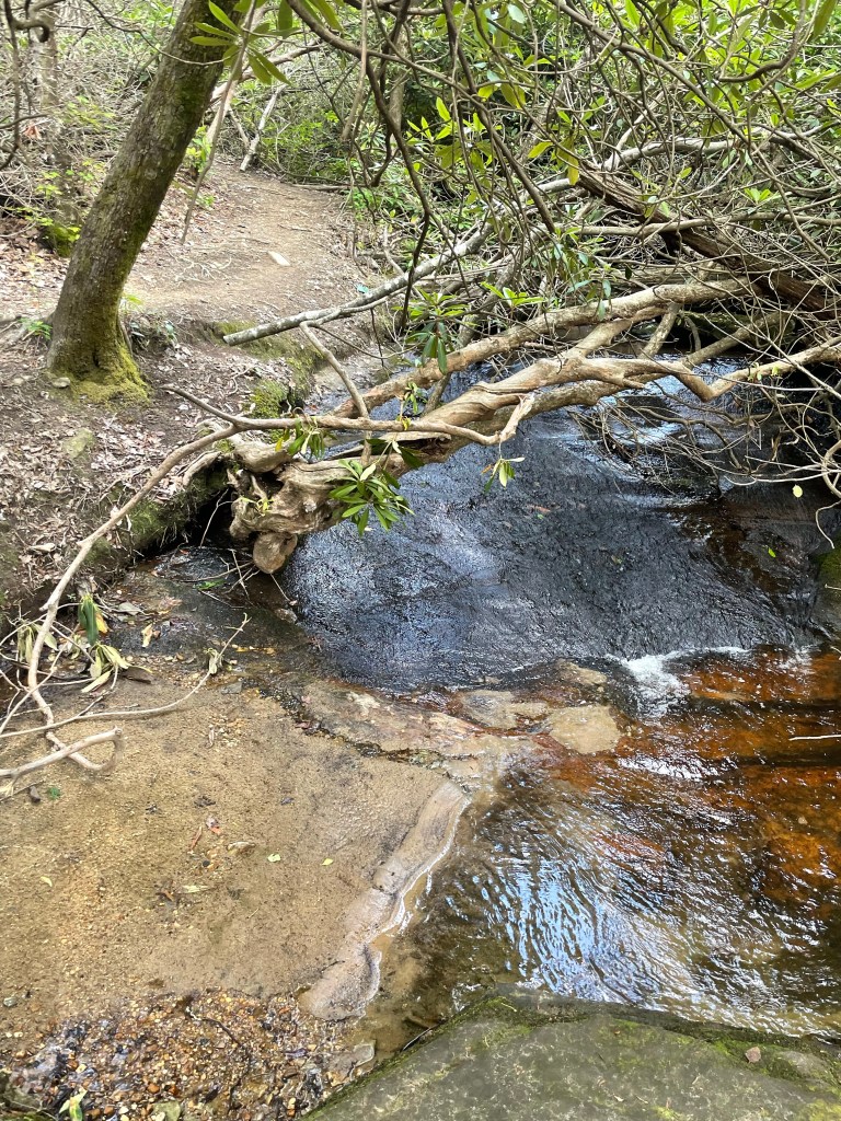
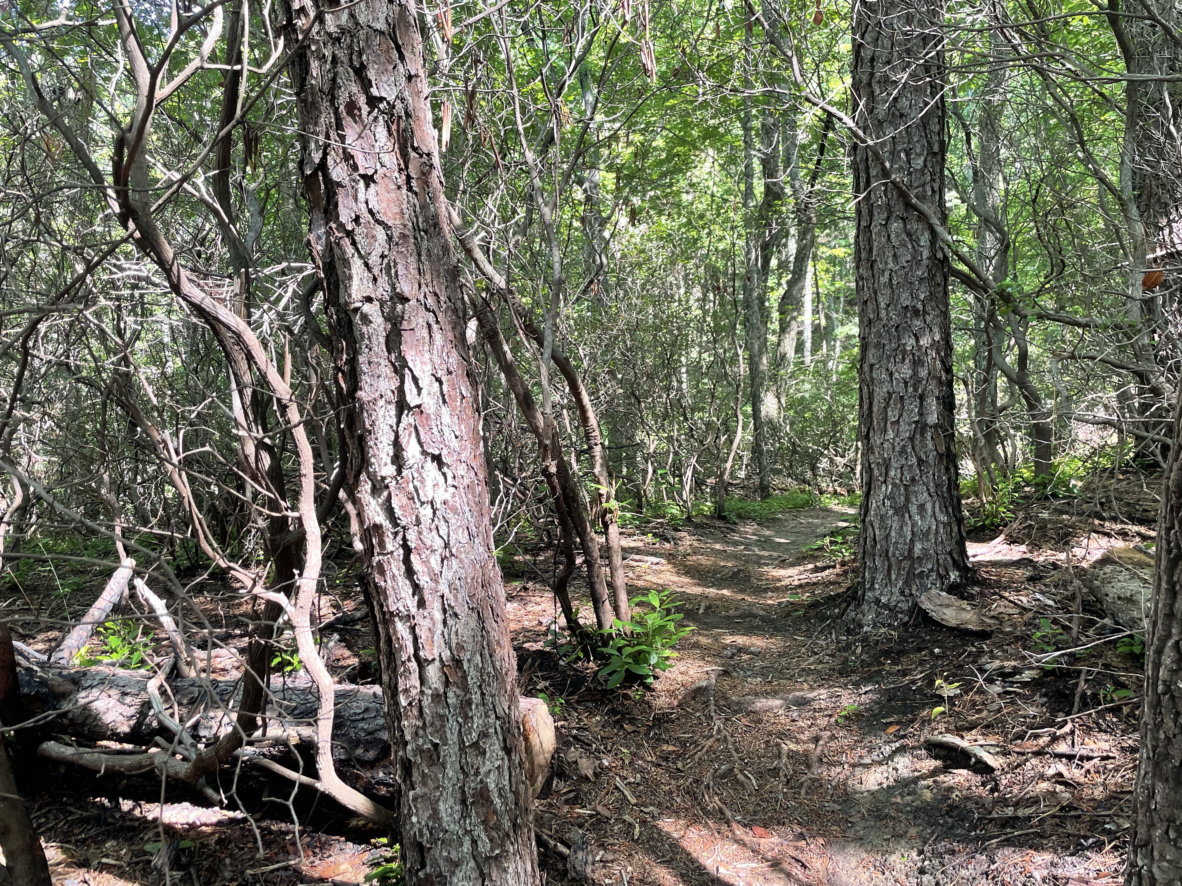
I had thought the climb up to Table Rock would be steep, but for the most part it was just lovely. Lots of water sliding over rocks, small water falls, just beautiful hiking.


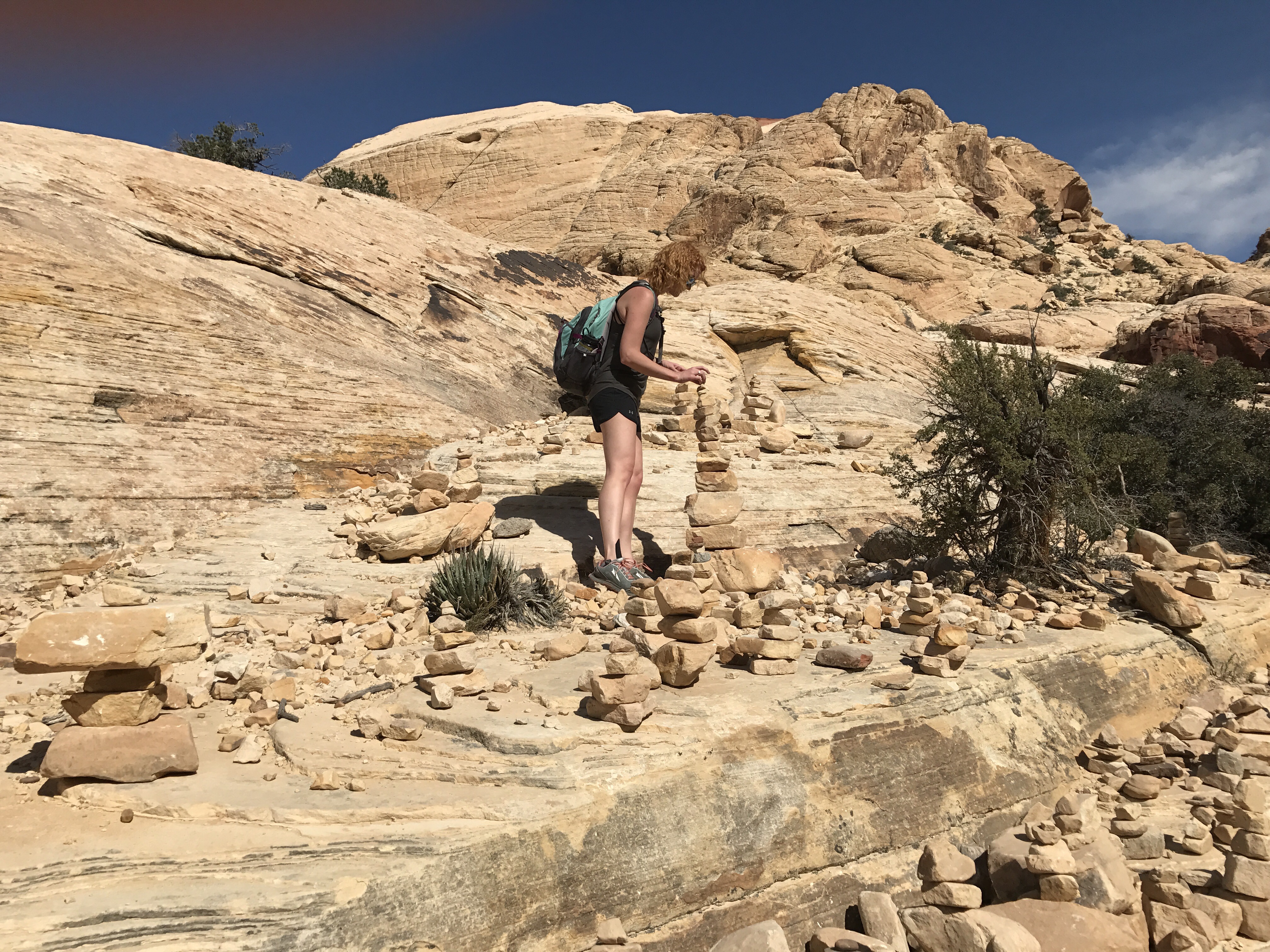
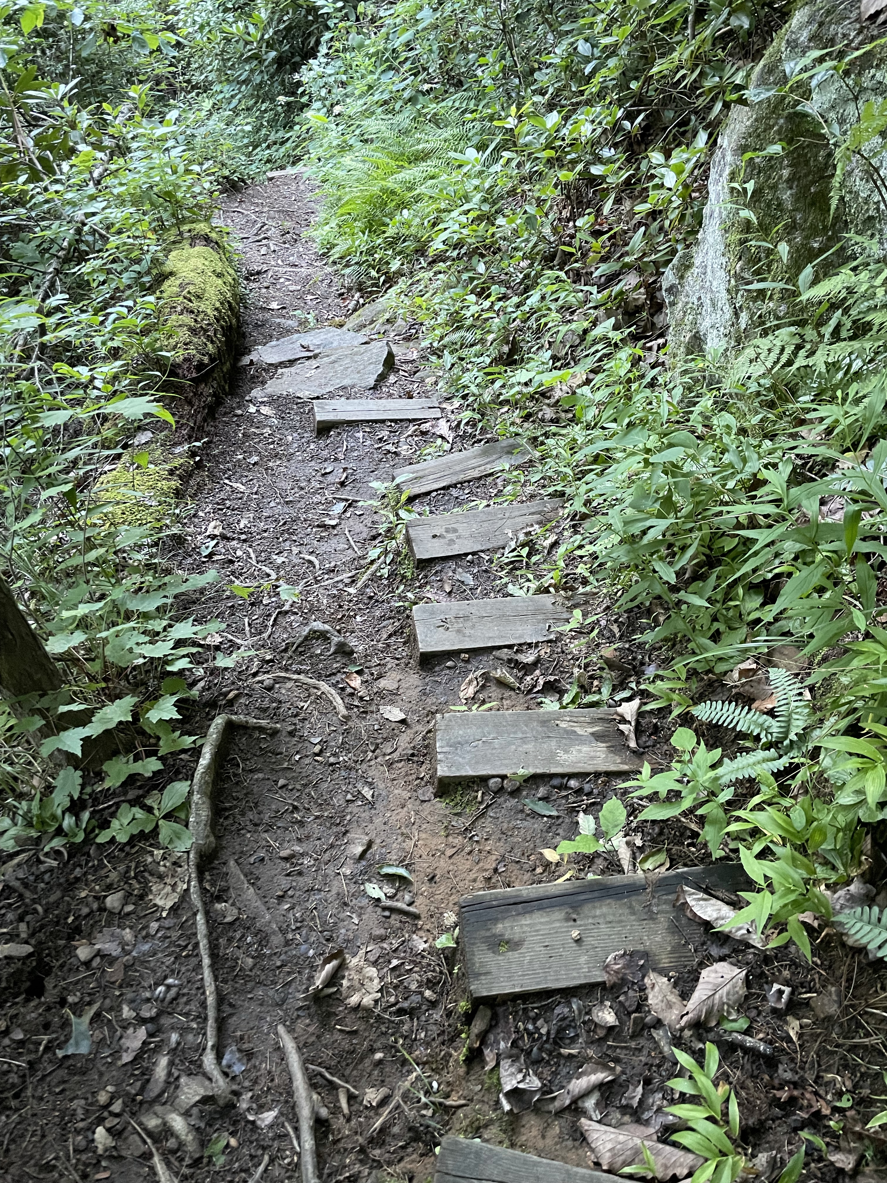
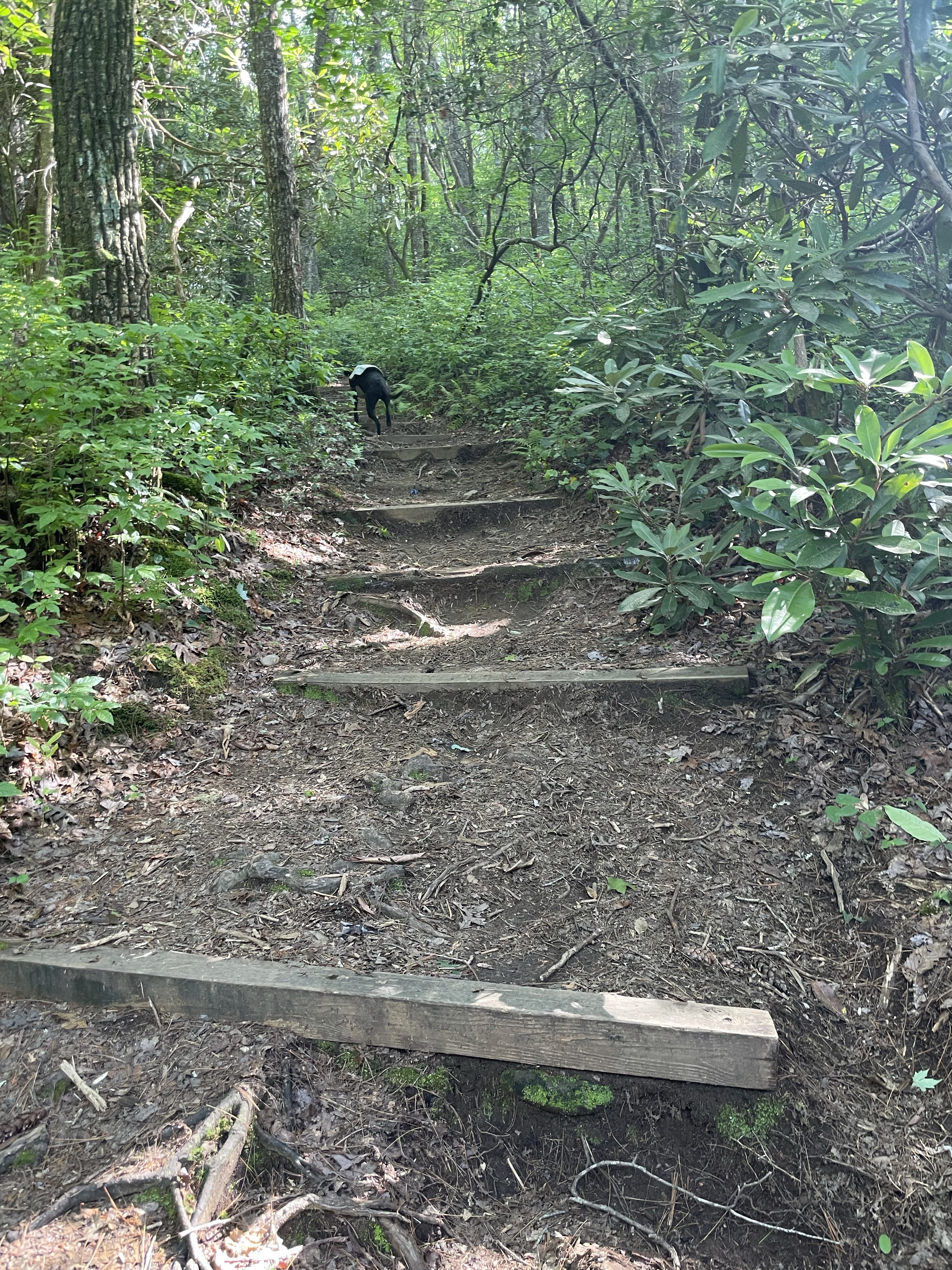
We headed down some stairs (you’ll notice the stairs become a theme on this trail!) and here’s where I made my first mistake. I didn’t pay close attention to the sign, despite taking pictures and filming it, and I followed tellico downhill. We went down a dirt road, heavily rutted, for quite a while. I didn’t see any blazes and wondered if I was off trail, but couldn’t figure it out. Some mountain bikers happened by and told me yes, I was off trail. We talked for a bit, they gave me some good info, and off I went.

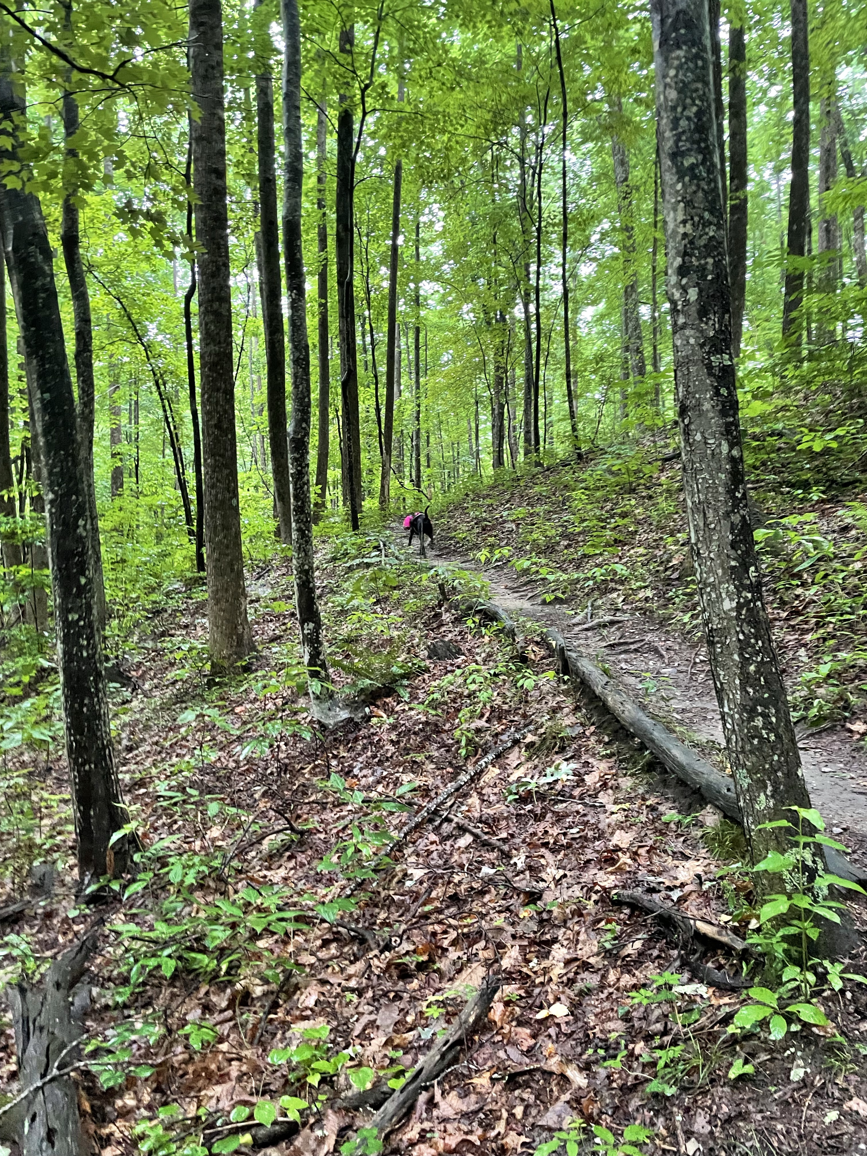
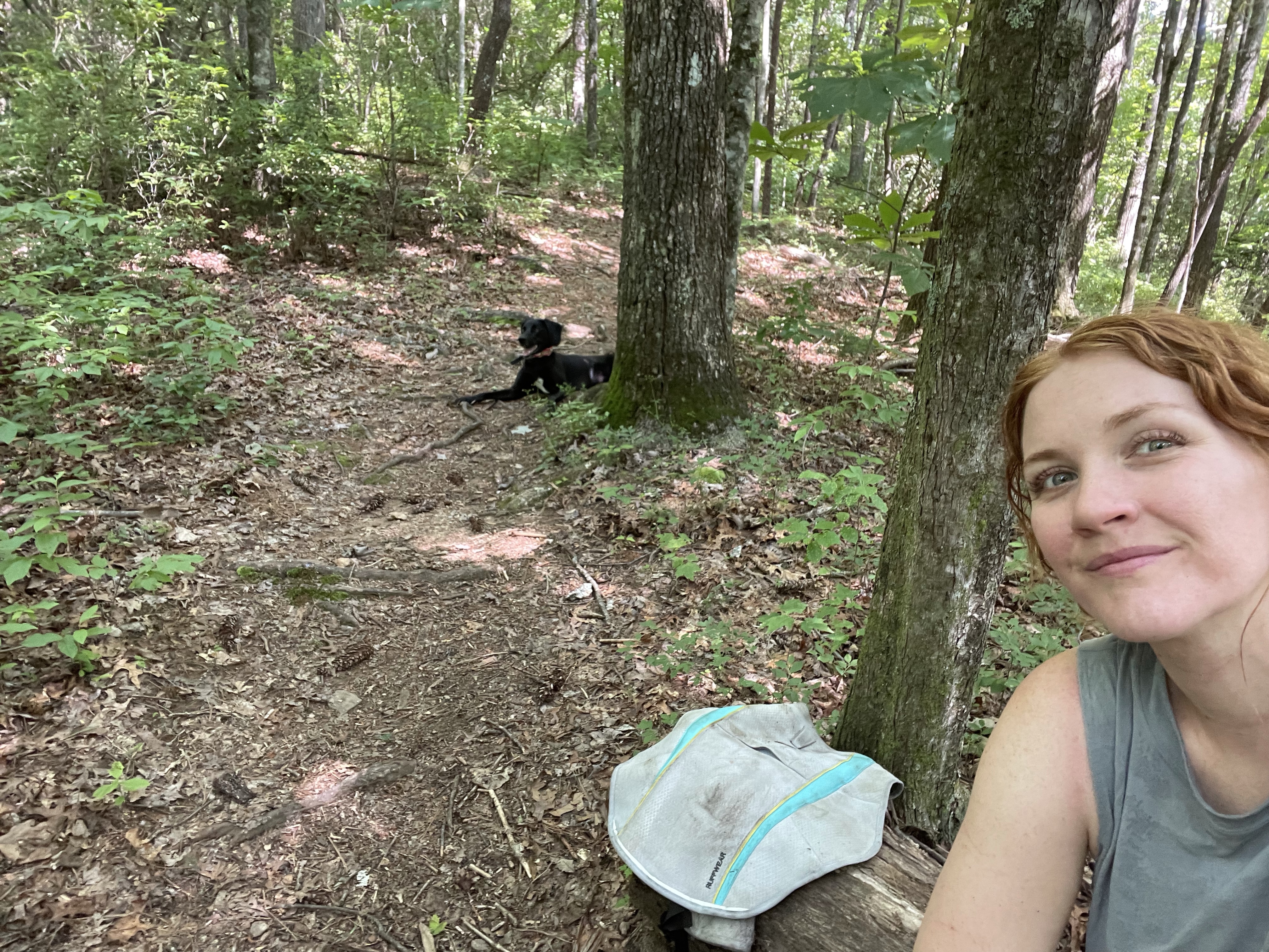
The last mile/half mile got fairly steep, and I had to fight through some overgrown trail, but the views were lovely and the weather was mild. Tellico was, predictably, living her best life.

What they told me was the location of some petroglyphs. You can find out how to get there online if you look hard enough, so I won’t repost it, but I went out and found them and couldn’t believe my eyes. It was so special, and it made me feel like following the wrong trail was a little bit on purpose.


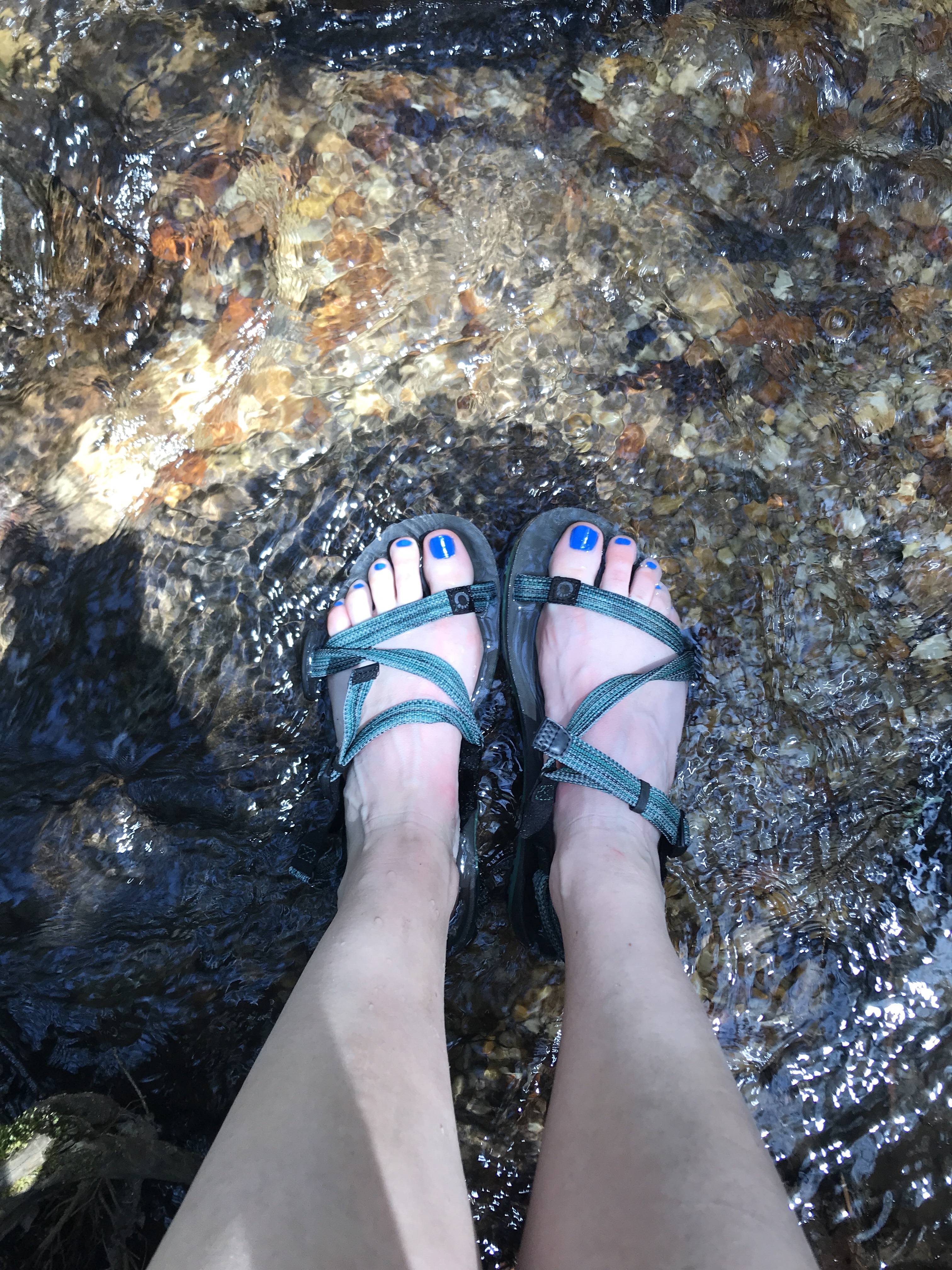
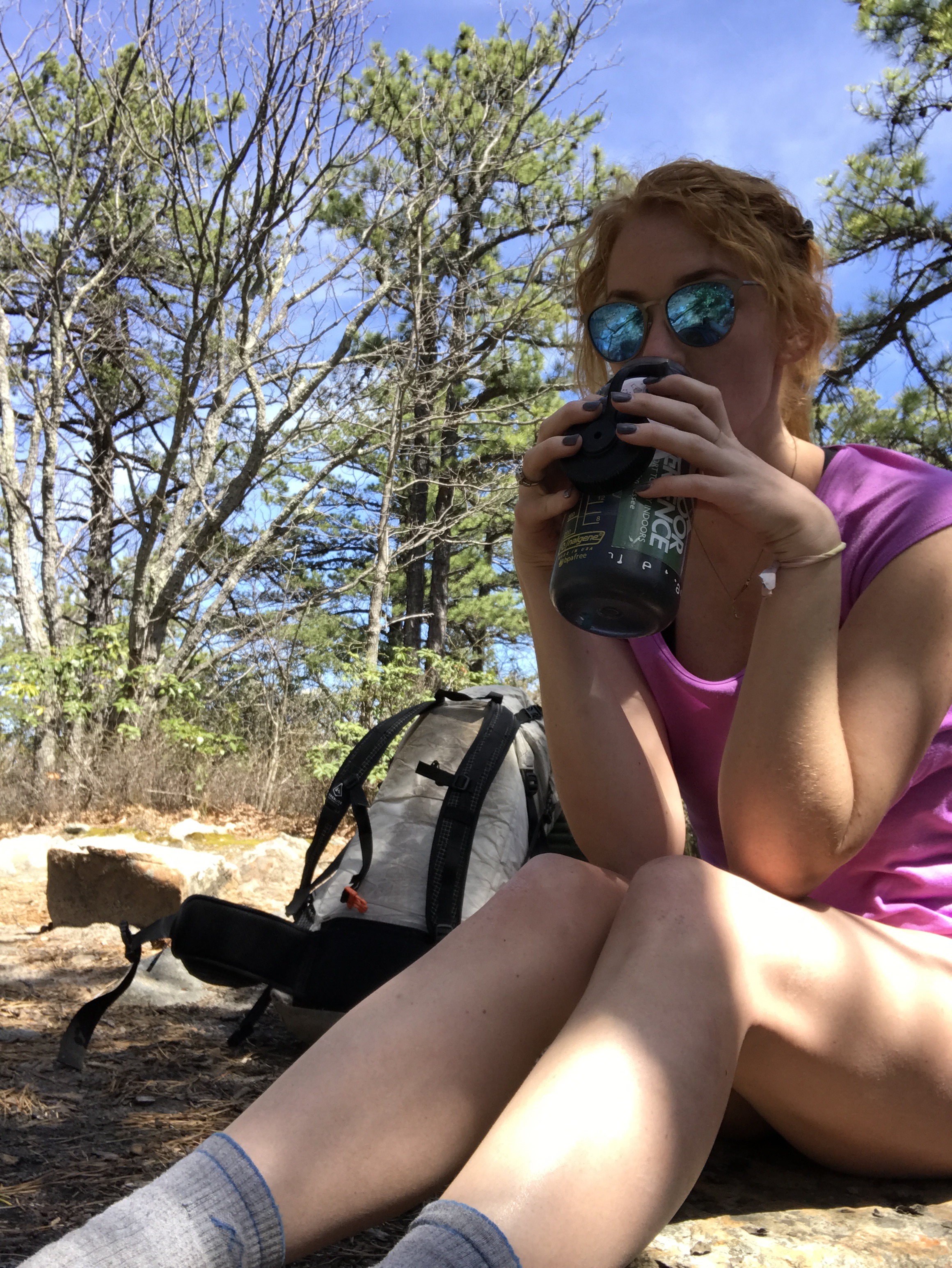
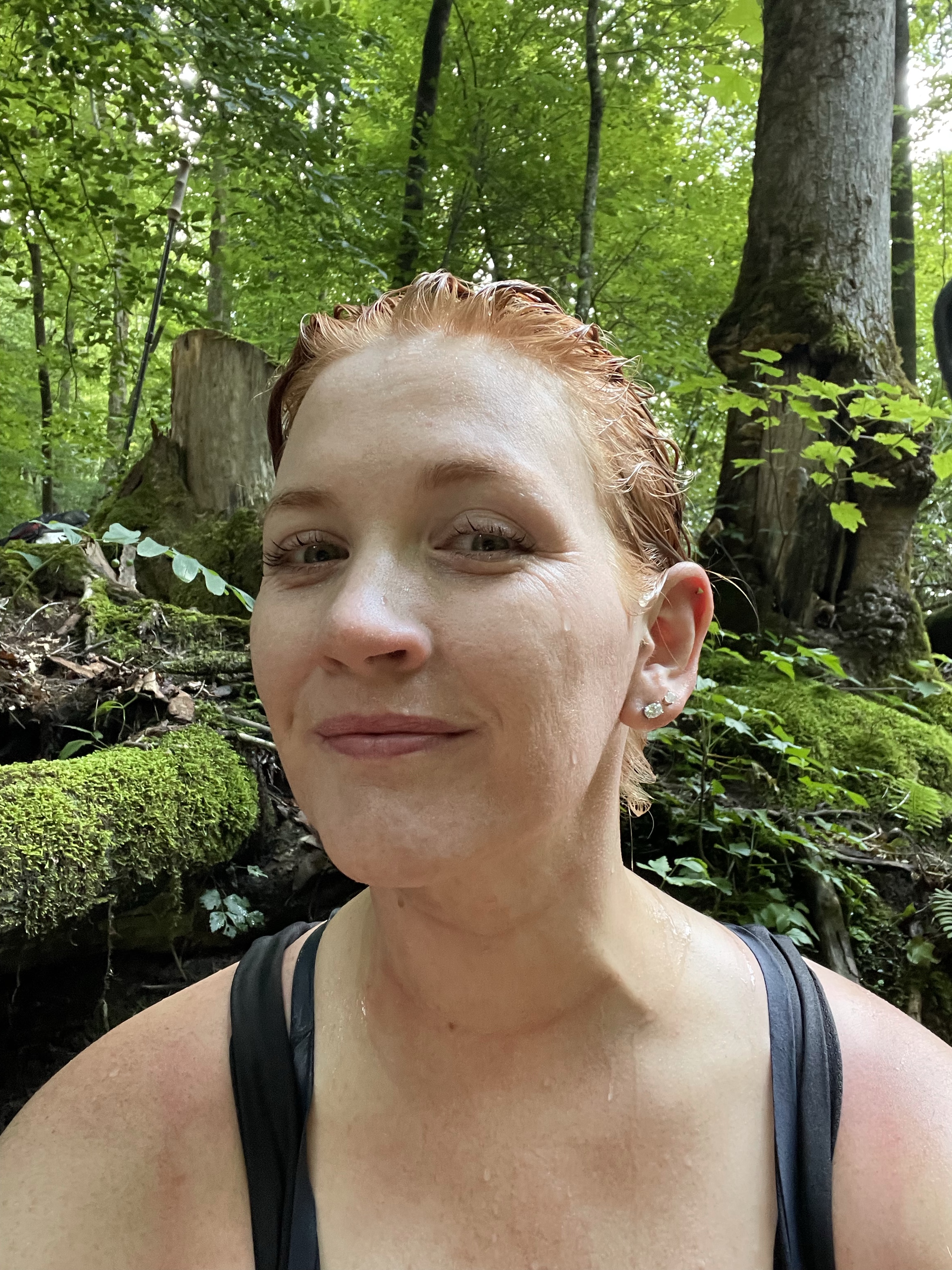
Back on trail, we stopped at a creek for water, cooling off, lunch, and stream bathing. Tellico played in the shallow stream while I ate and cooled off. We met some hikers and chatted a bit and then headed out.


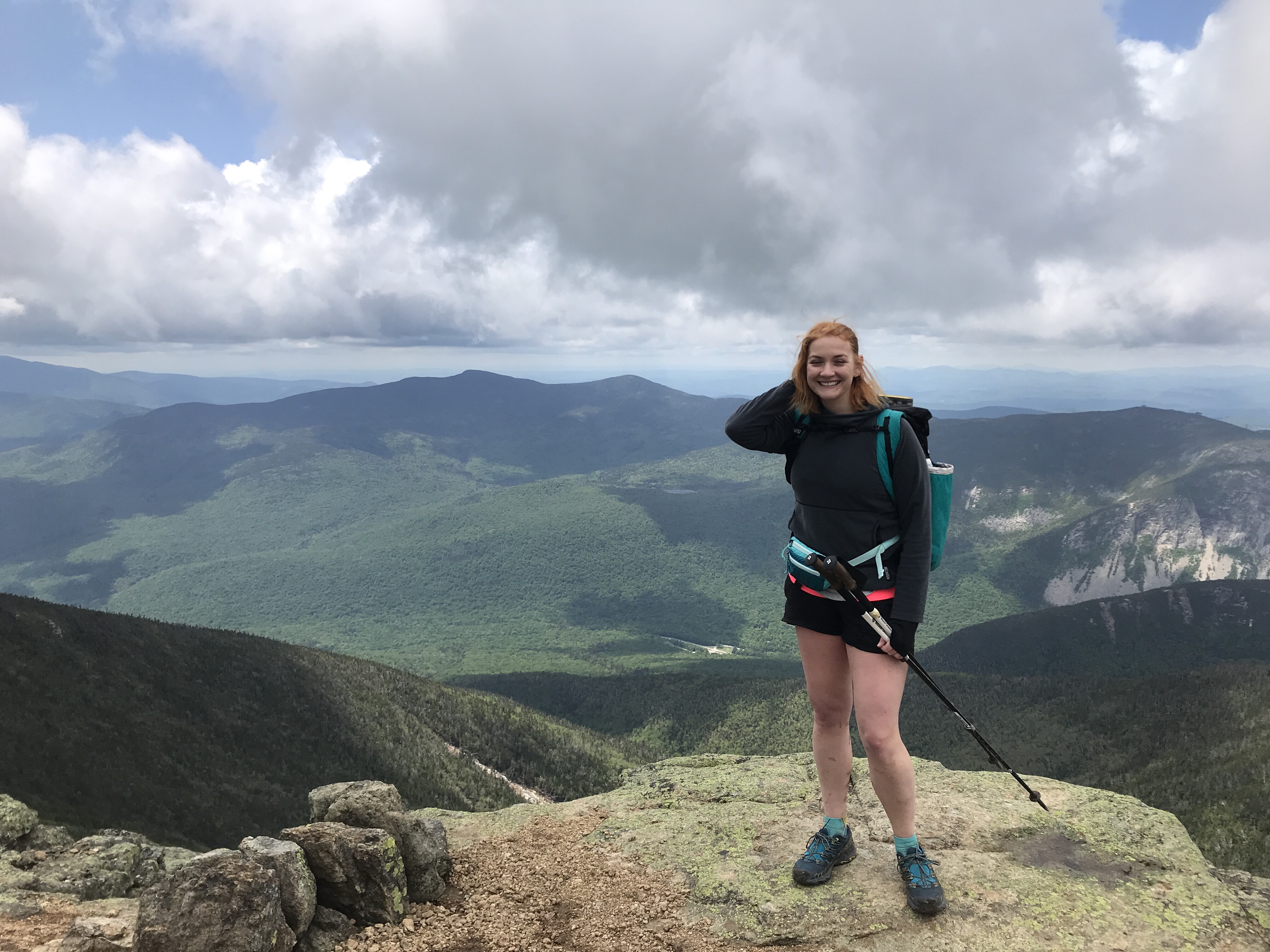
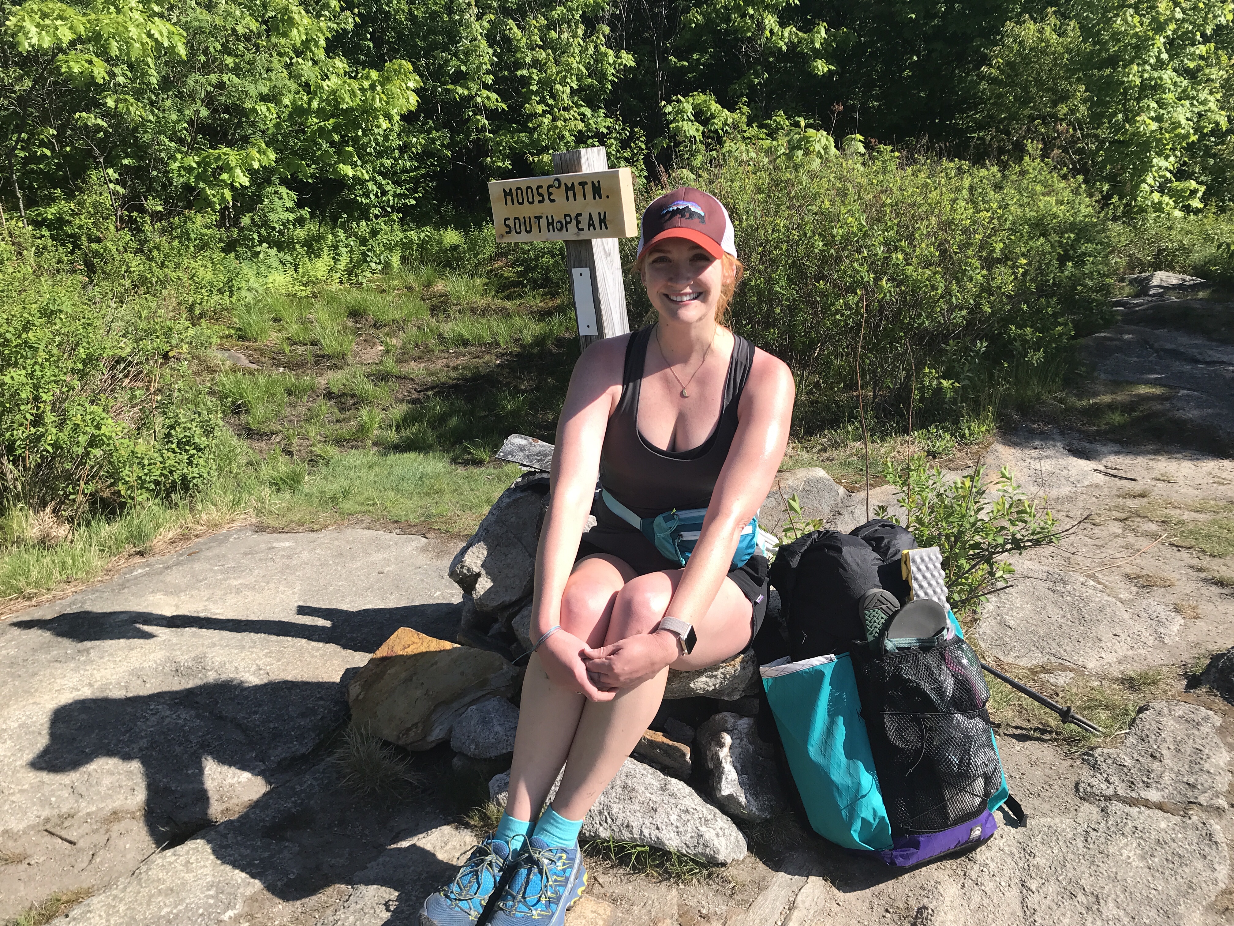
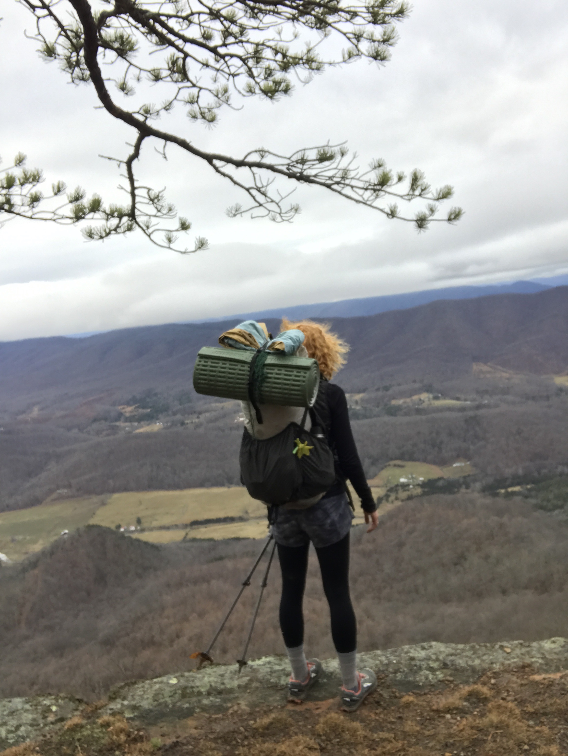
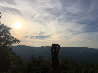
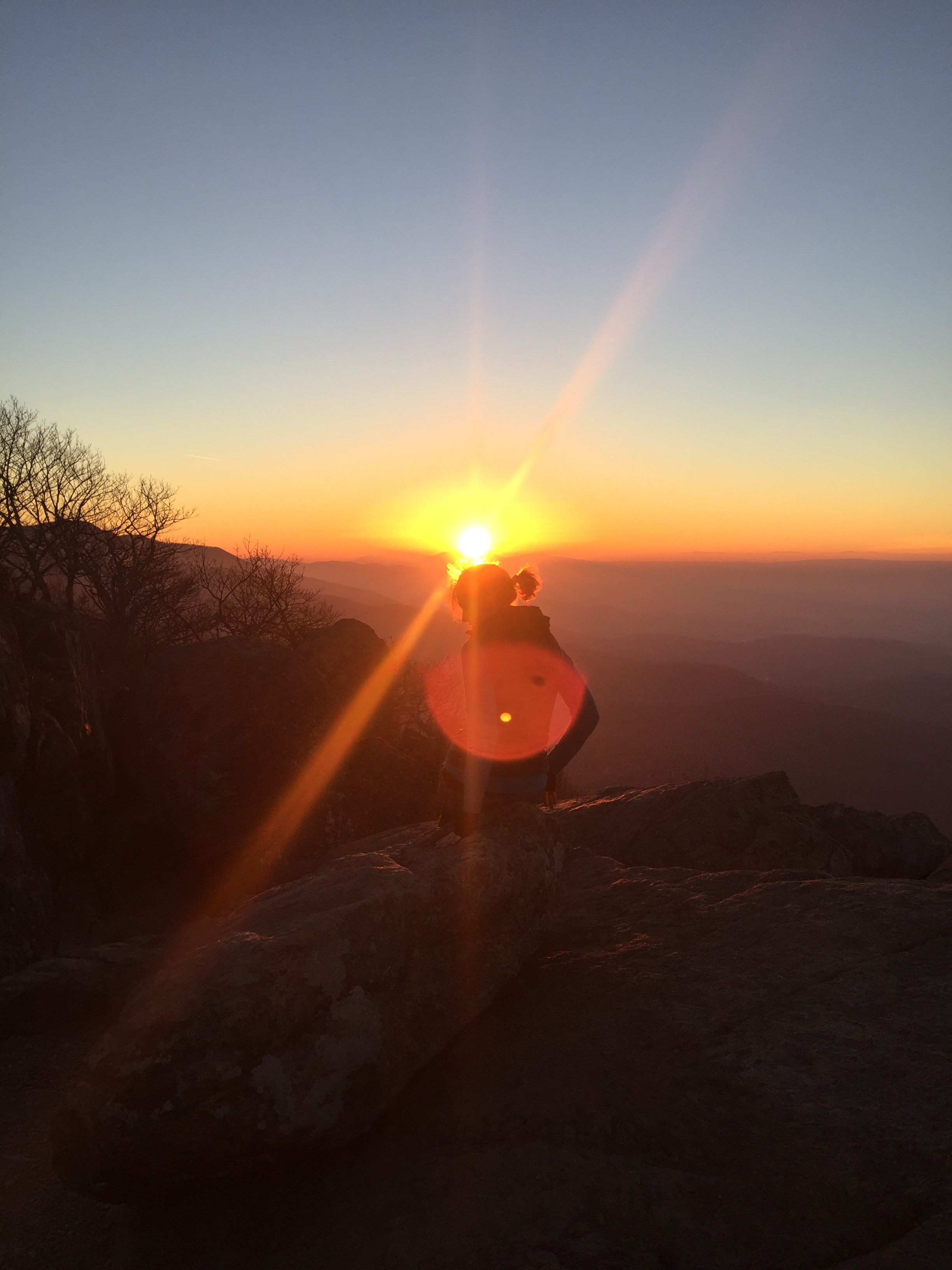
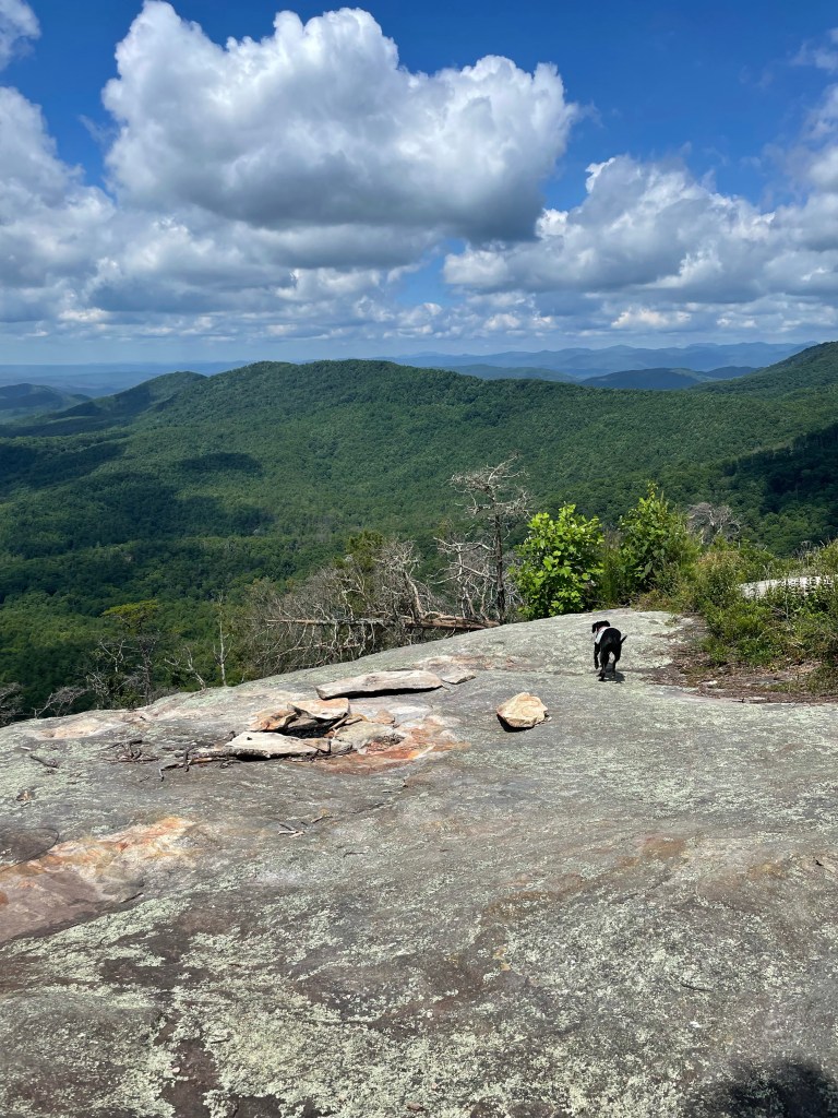
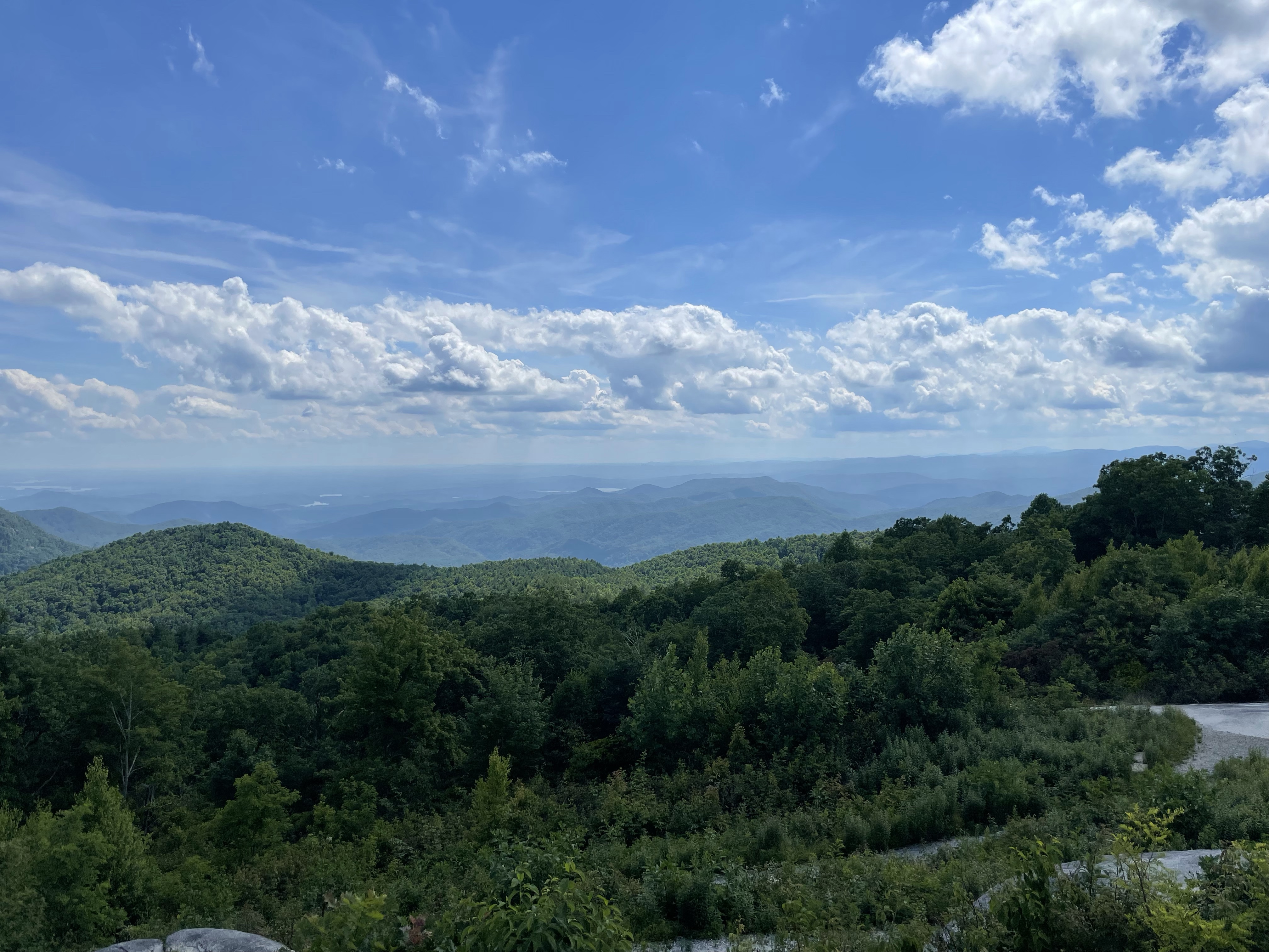
Some more stairs and we were on sassafras mountain, South Carolina’s highest point. We stopped for a break while I enjoyed the view. Some small kids came up and gave tellico so much attention I thought she’d leave with them!


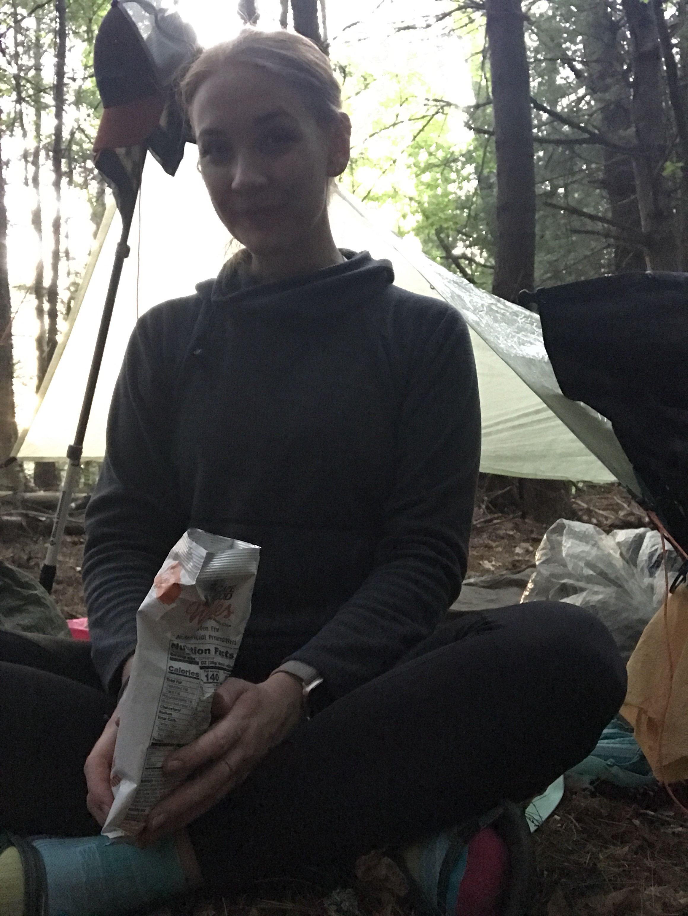
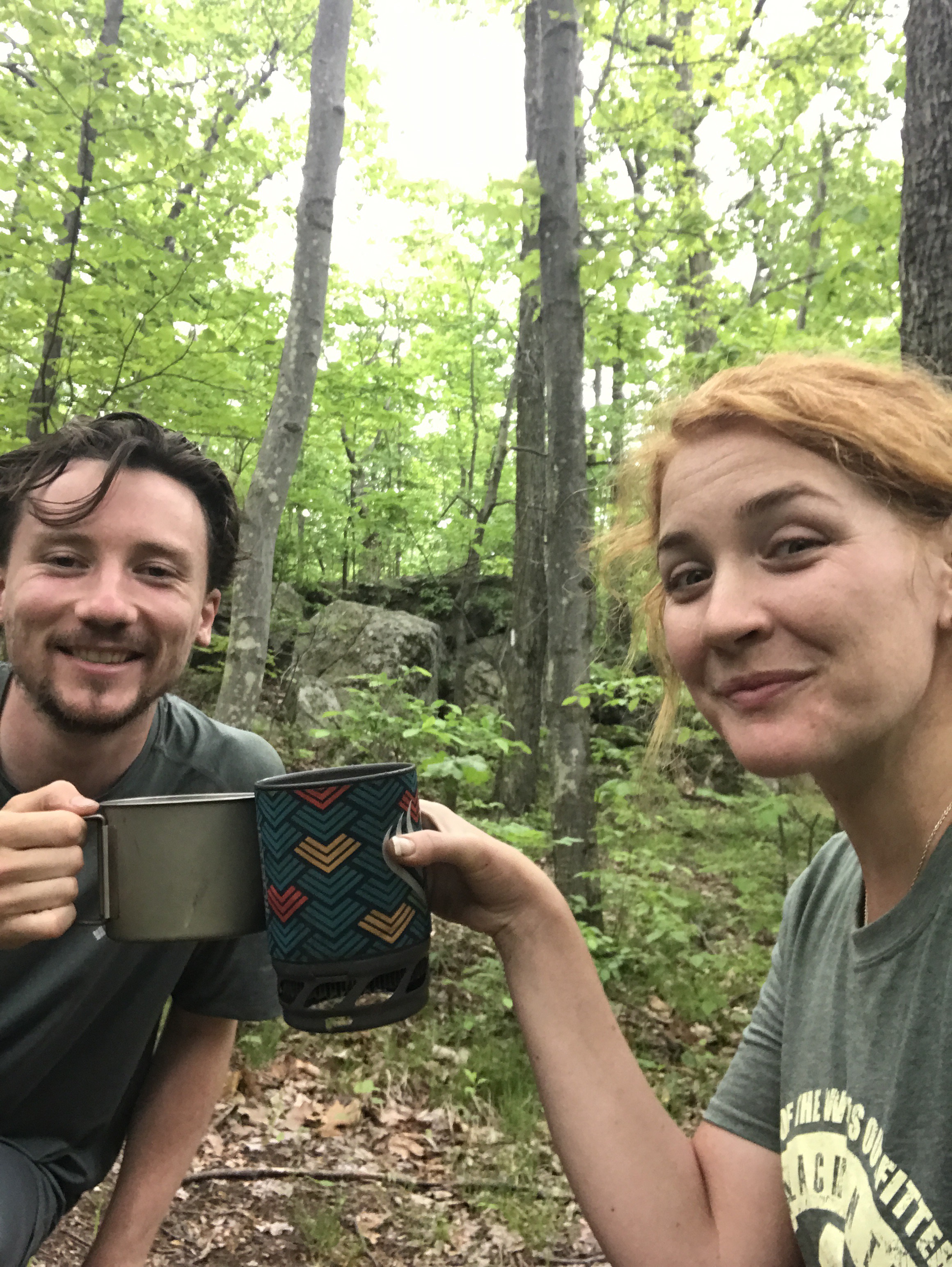
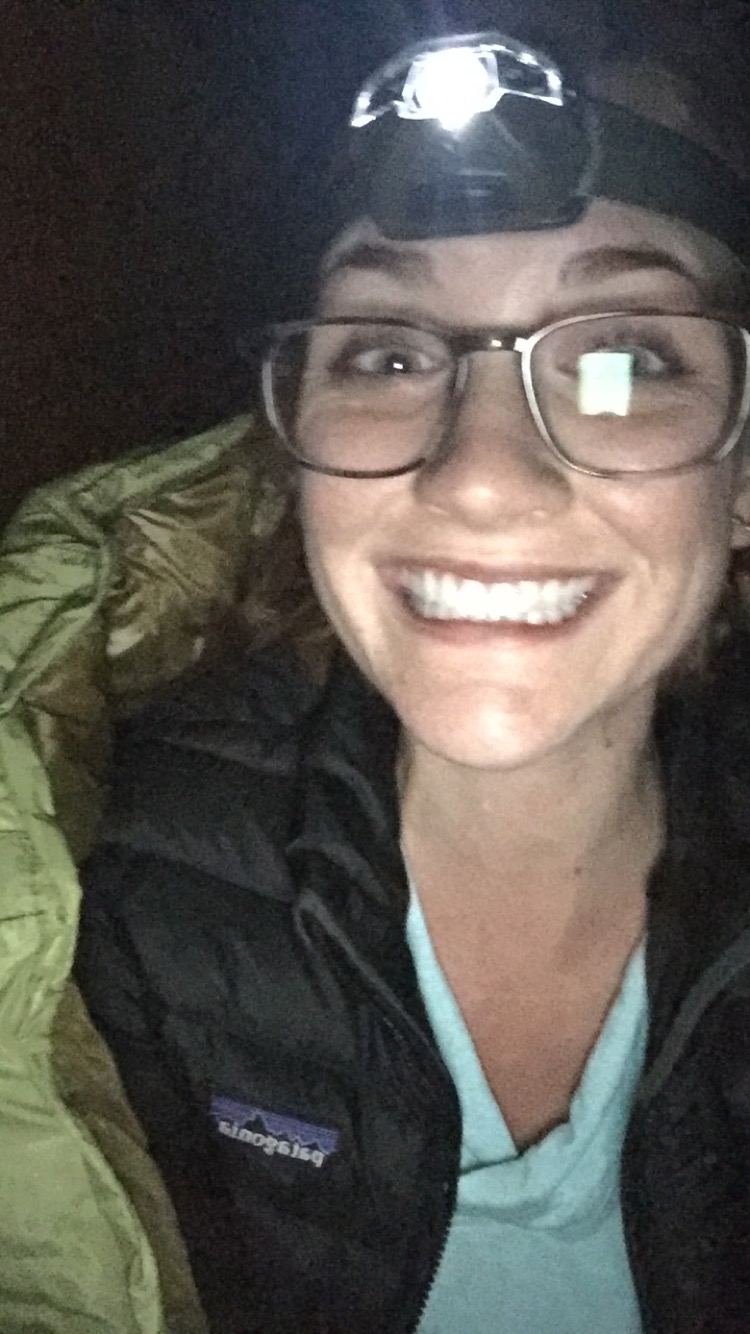
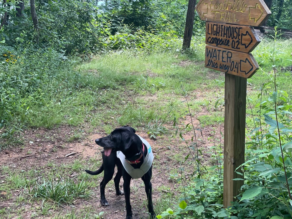
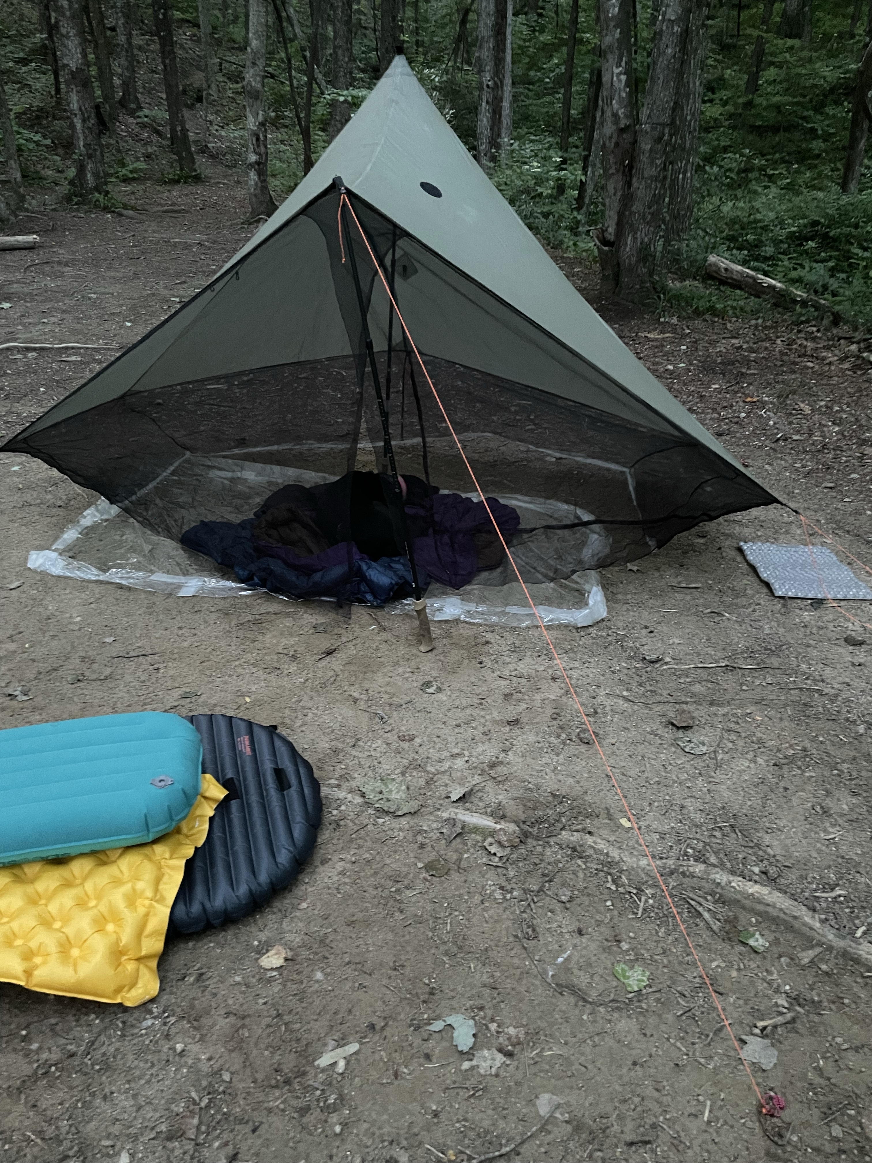
Back into the woods, more stairs, and we weren’t too far from Chimneytop. There was a hiker there already, but he was friendly and we chatted while I got my tarp set up and tellico situated with dinner. He was out on his first backpacking trip so I gave him some tips and we discussed hiking gear, one of my favorite subjects.


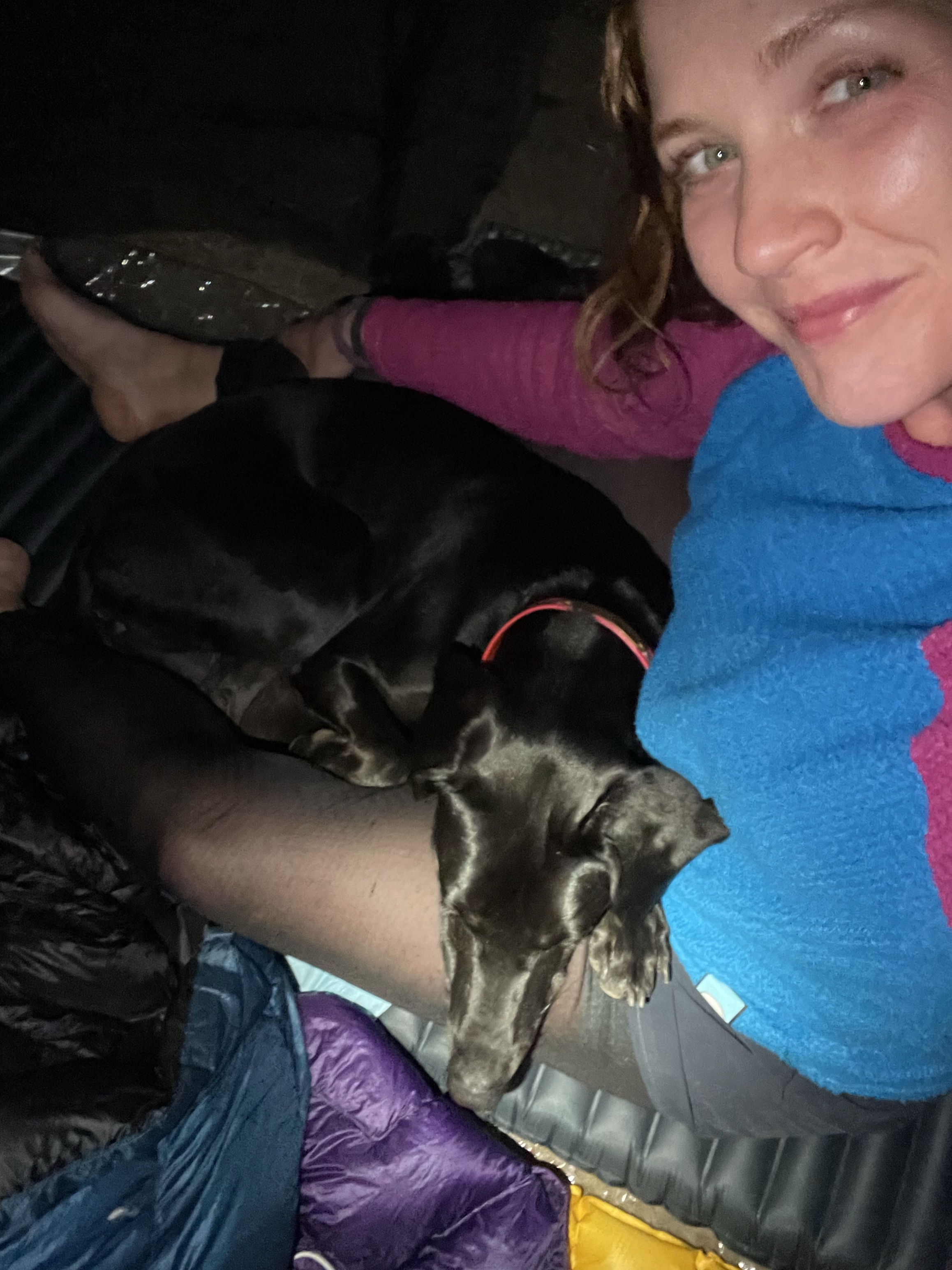
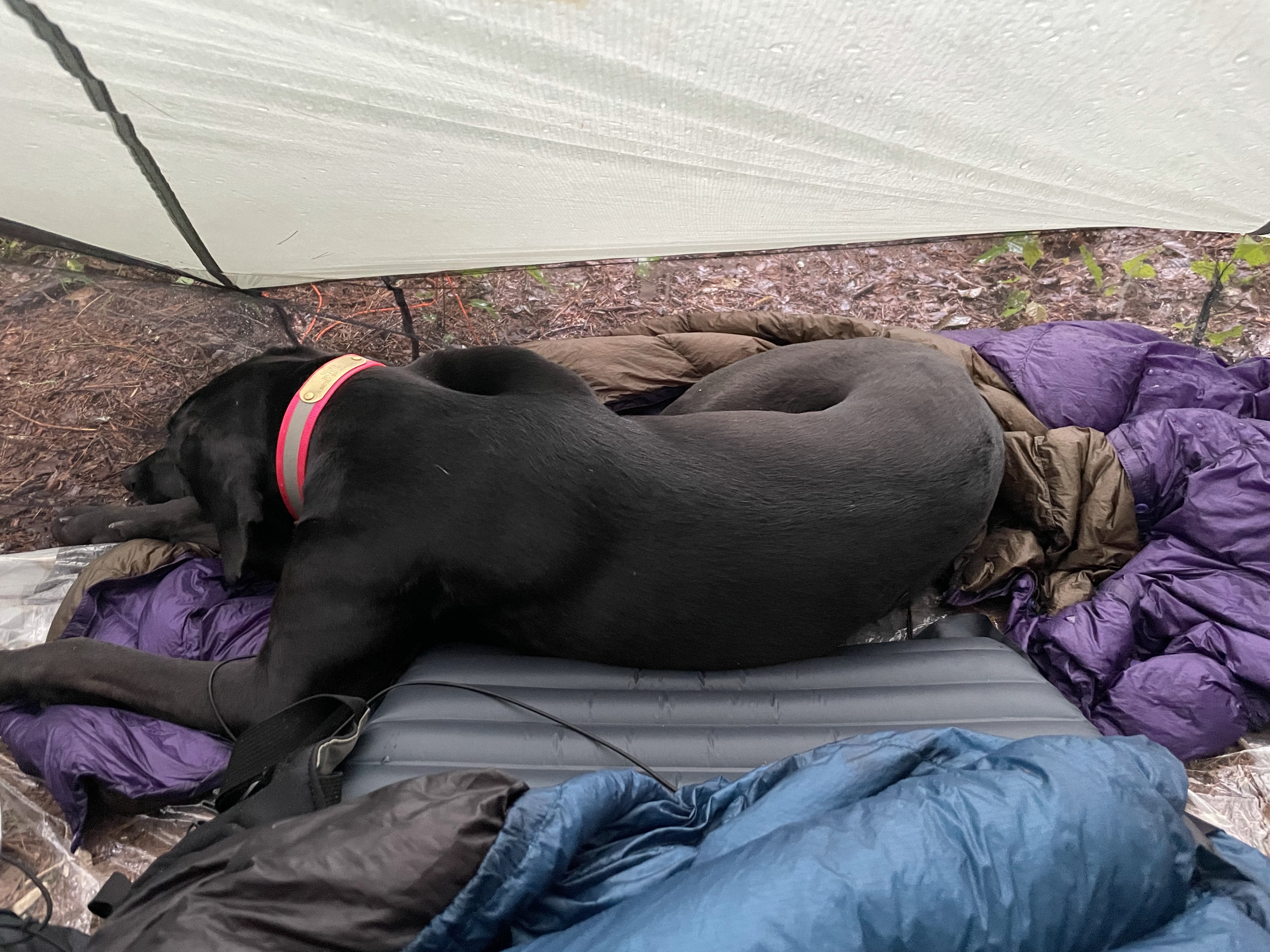
Tellico was ready for bed, though, so I obliged by letting her snuggle, and soon we were both asleep.
Miles: 13
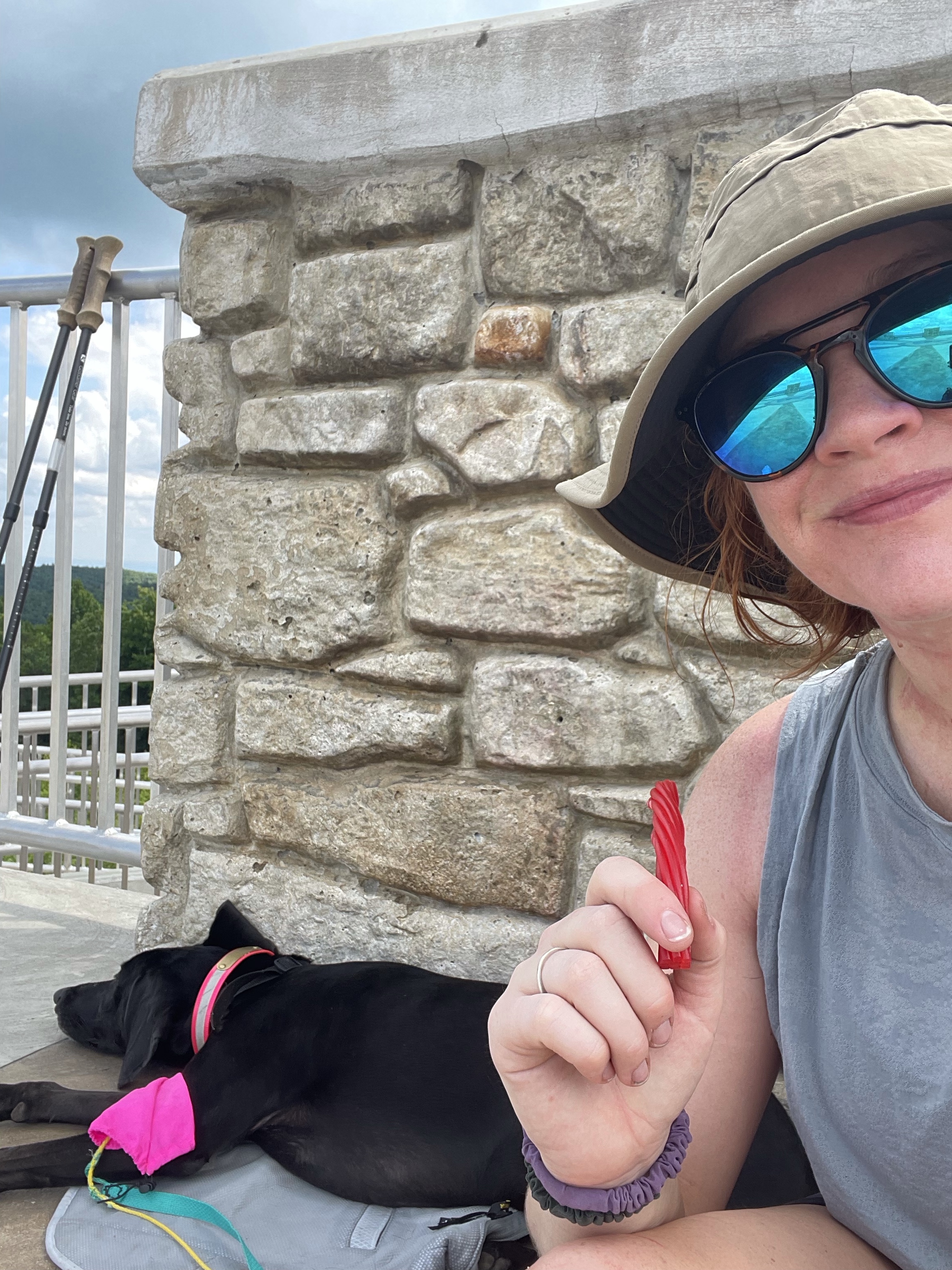
MVP: twizzlers
LVP: whatever reaction was going on with my neck
*****
2: Chimneytop to Toxaway
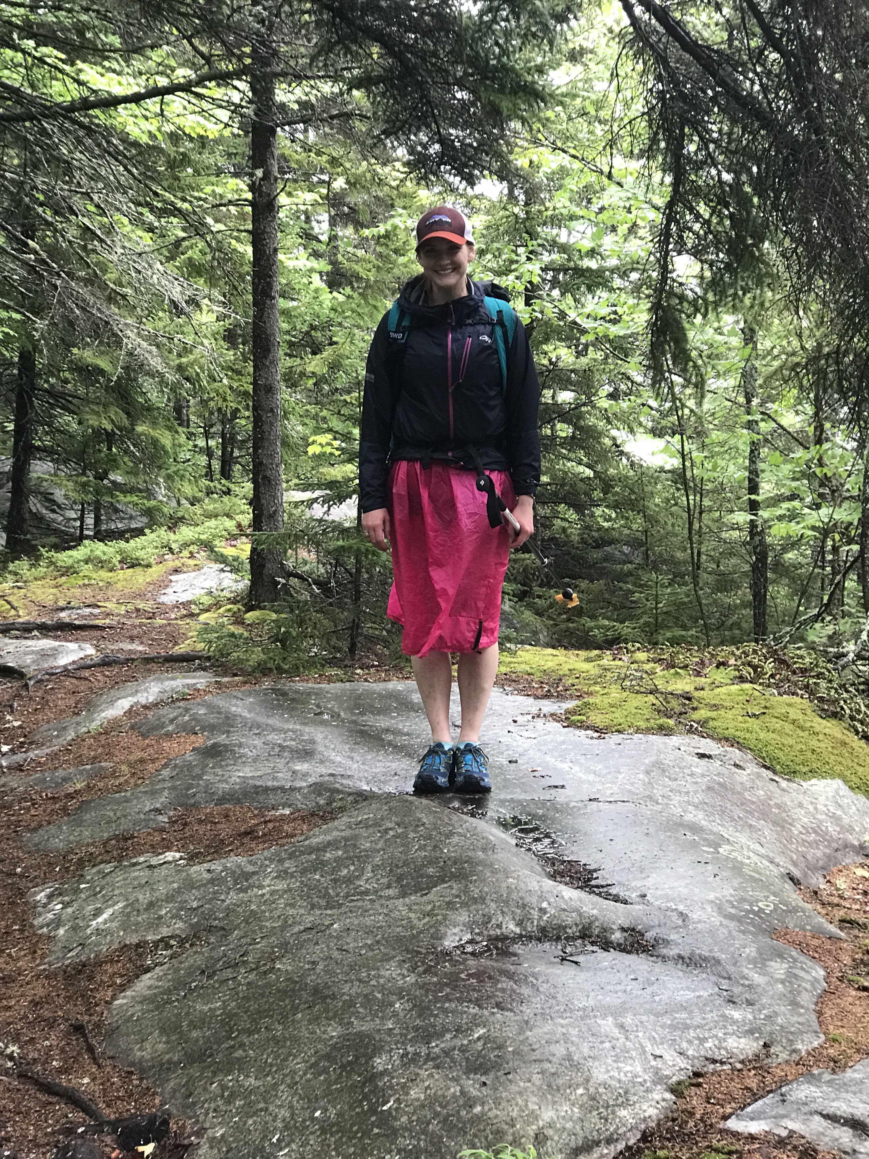
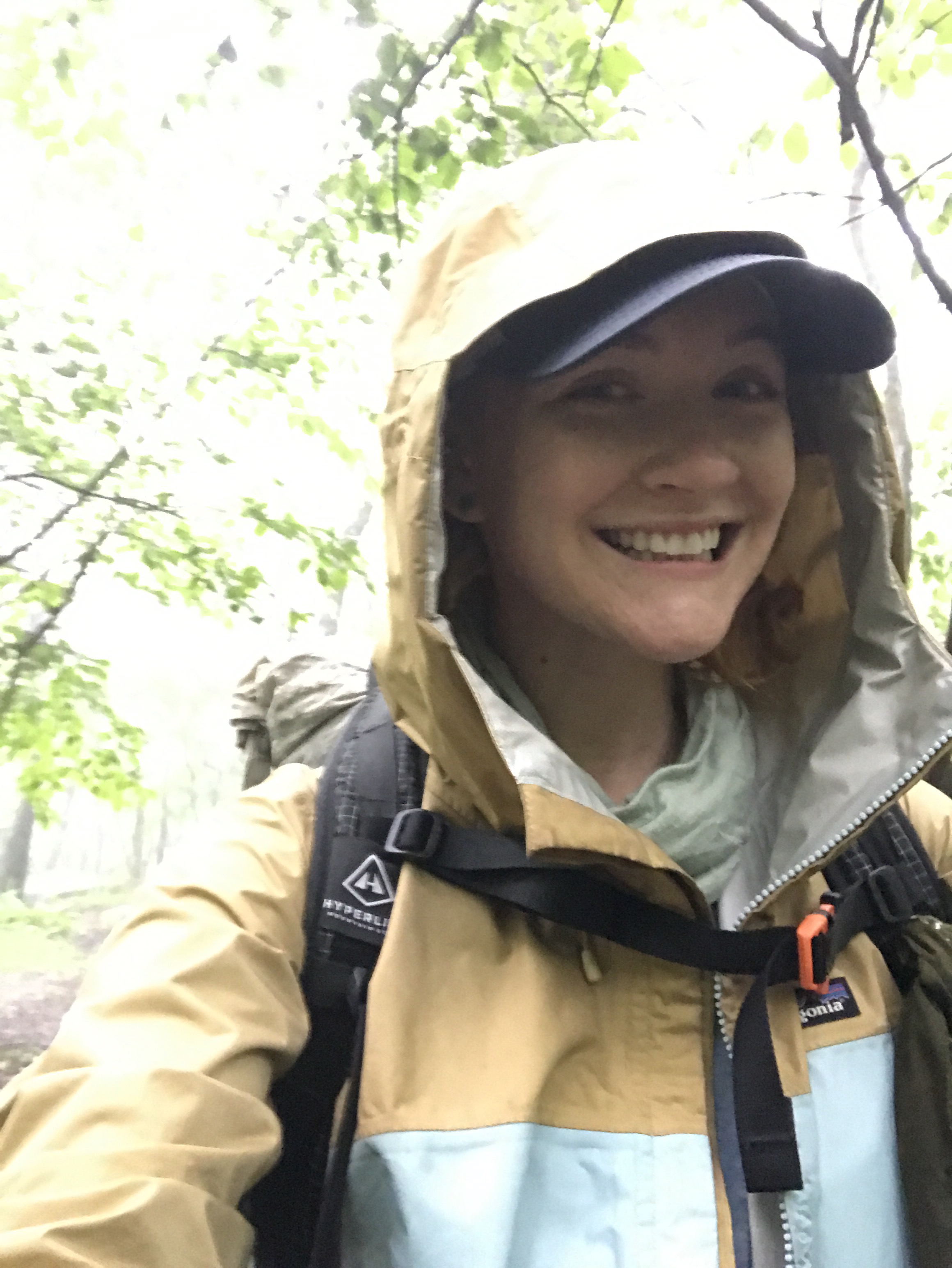
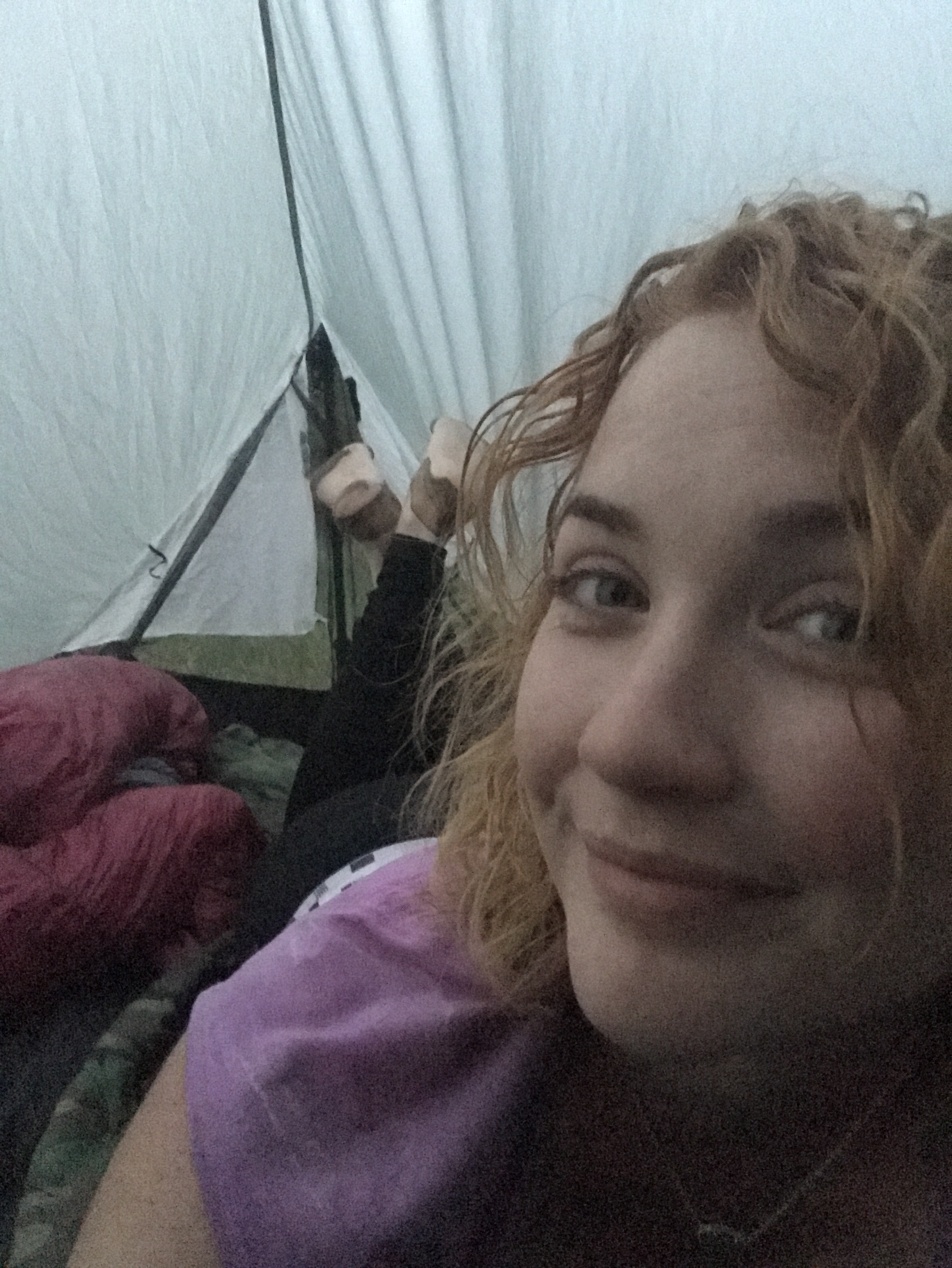
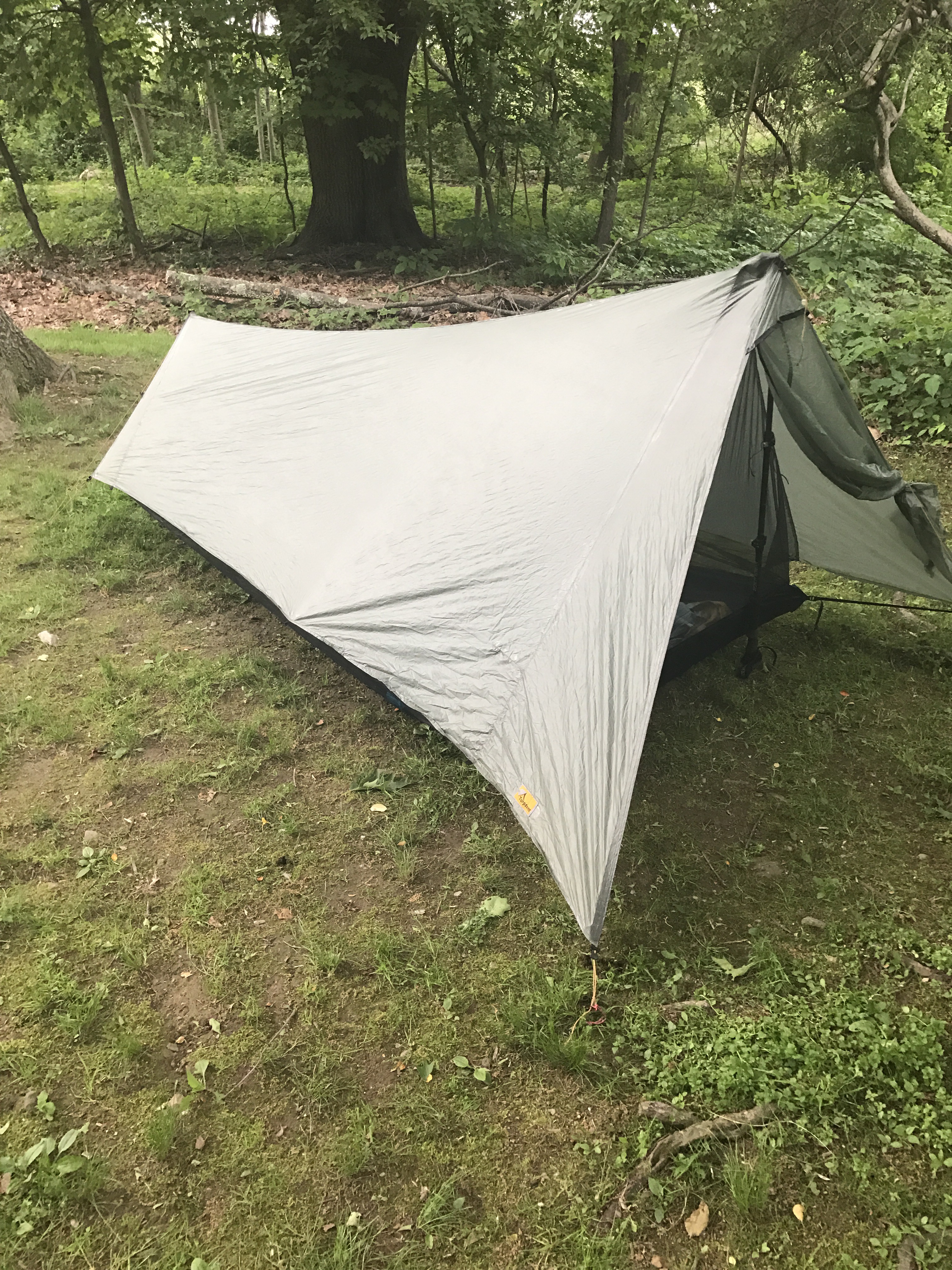
I woke up to a beautiful day. I got breakfast ready, packed up almost everything, but left my tarp up for reasons I wasn’t aware of at the time. But just as I started to take it down, it started raining. There wasn’t any rain in the forecast at all, so I ducked under and figured I’d wait it out.

Well it rained for over two hours. During a relative break in the rain, I finished packing up, strapped my soaking tarp onto my pack, and we headed out for a soggy morning.
A mile or two down the trail and we stopped at the kiosk at Laurel Falls trailhead, taking shelter under the small roof while I assessed my feelings on being drenched with both rain and sweat. As we stood there a truck drove up, one arm hanging out the window waving at me through the rain. My shuttle driver, Taz, was out dropping off another load of hikers. We caught up and talked about the trail and the petroglyphs and the weather until he had to leave. I waited a few more minutes and then decided to go for it.

The rain had mostly stopped but the air was heavy with moisture, foggy and misty and dripping from the trees. I was a little miserable.


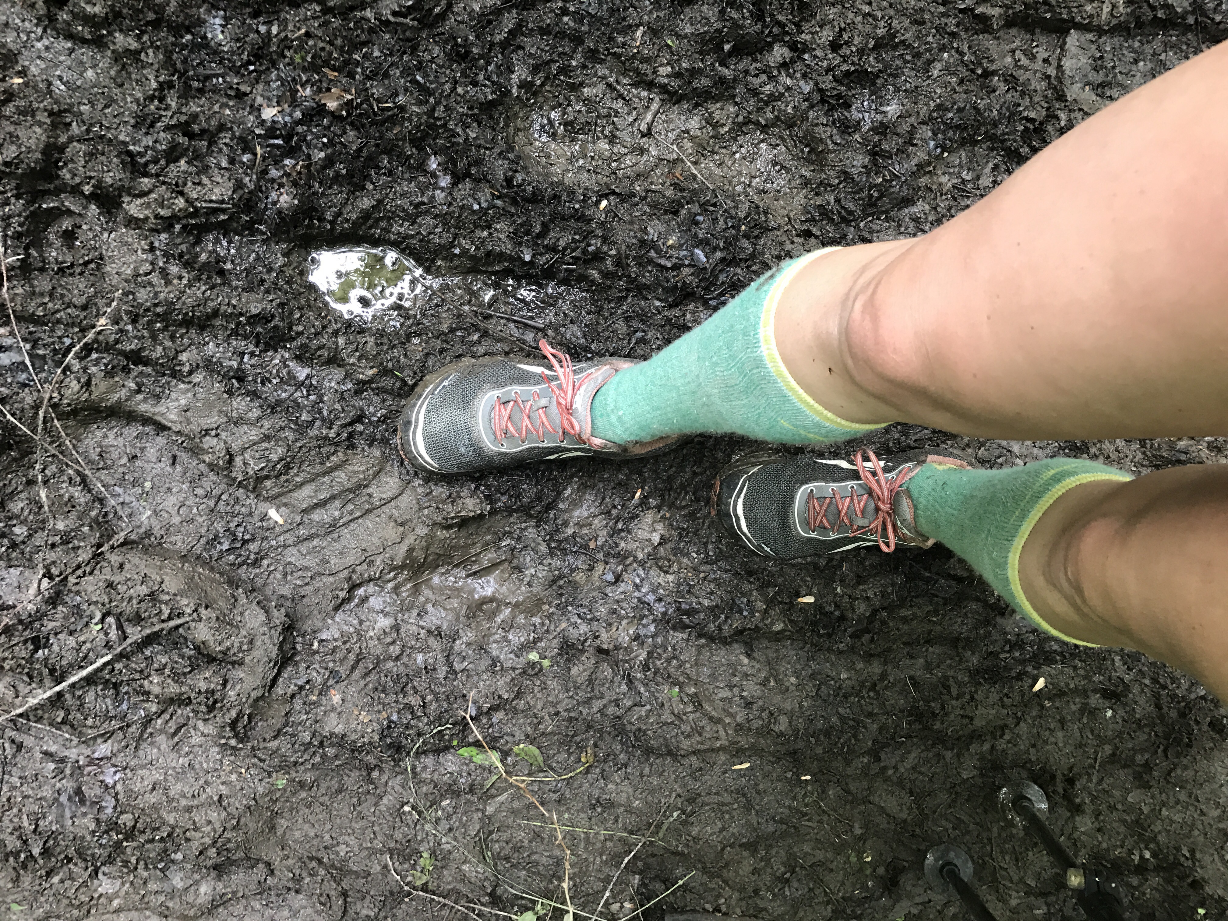
It seemed to warm up and dry out a bit in the afternoon, so we stopped for a long lunch at a stream. I spread out my wet things as best I could, rinsed off all the grit and dumped the sand out of my shoes. The dirt in South Carolina is just so sandy and it sticks to everything. I hate that feeling. Maybe I’m part oyster….no pearls yet.
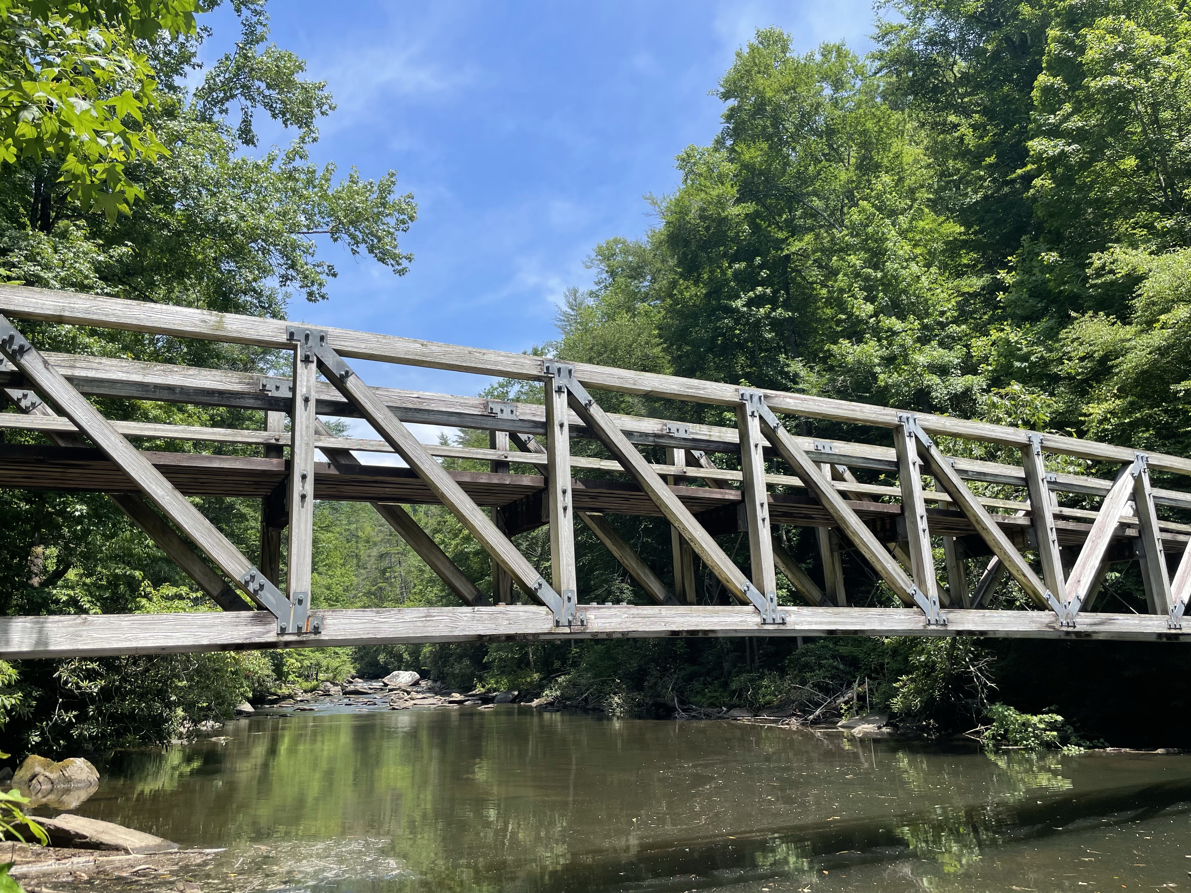
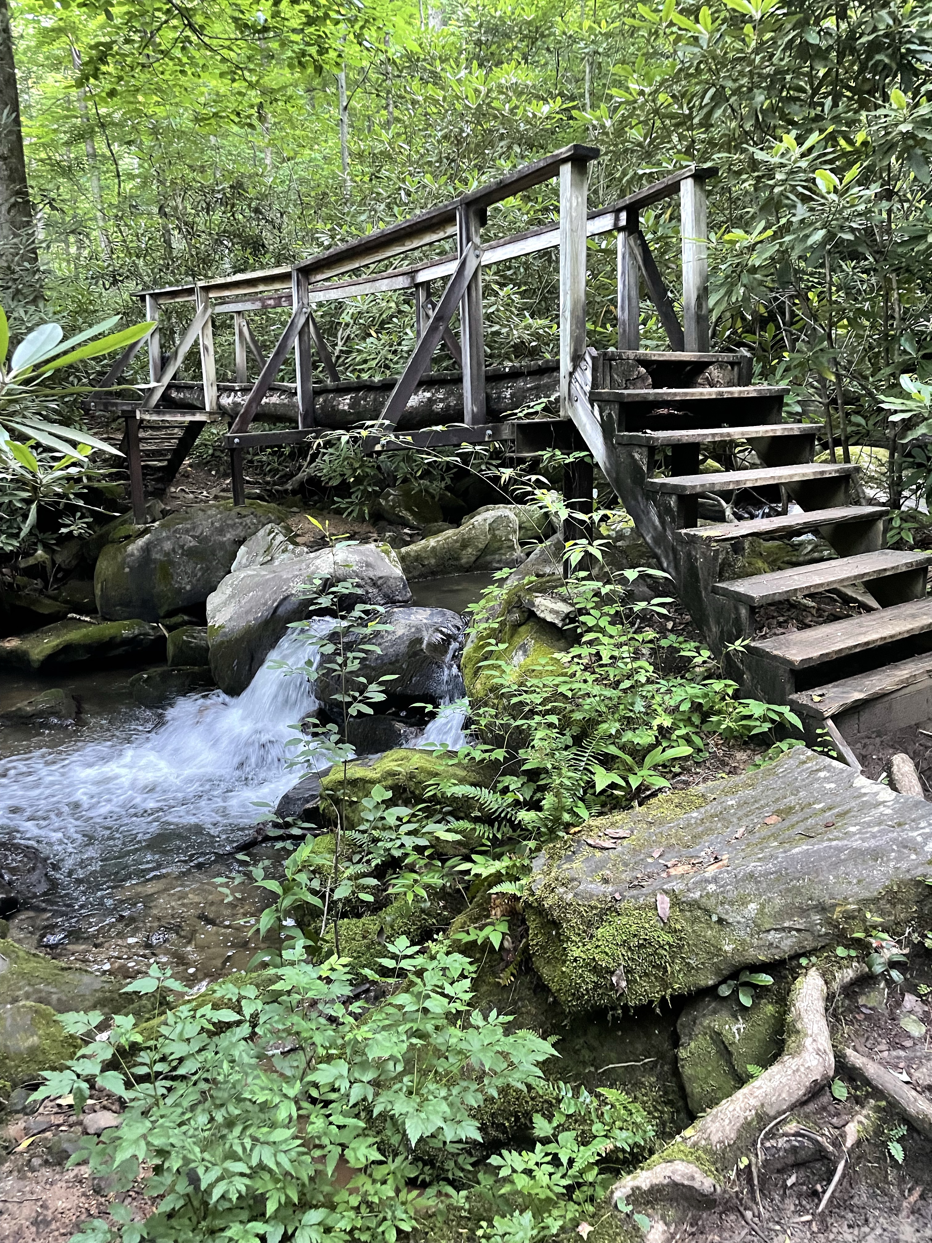
It drizzled off and on, but not enough to make me to get up and get moving. But eventually I ran out of food that looked good and I had no excuses, and on we went. The bridge at Virginia Hawkins was out, so we took a very long and, in my opinion, needlessly steep and muddy detour.

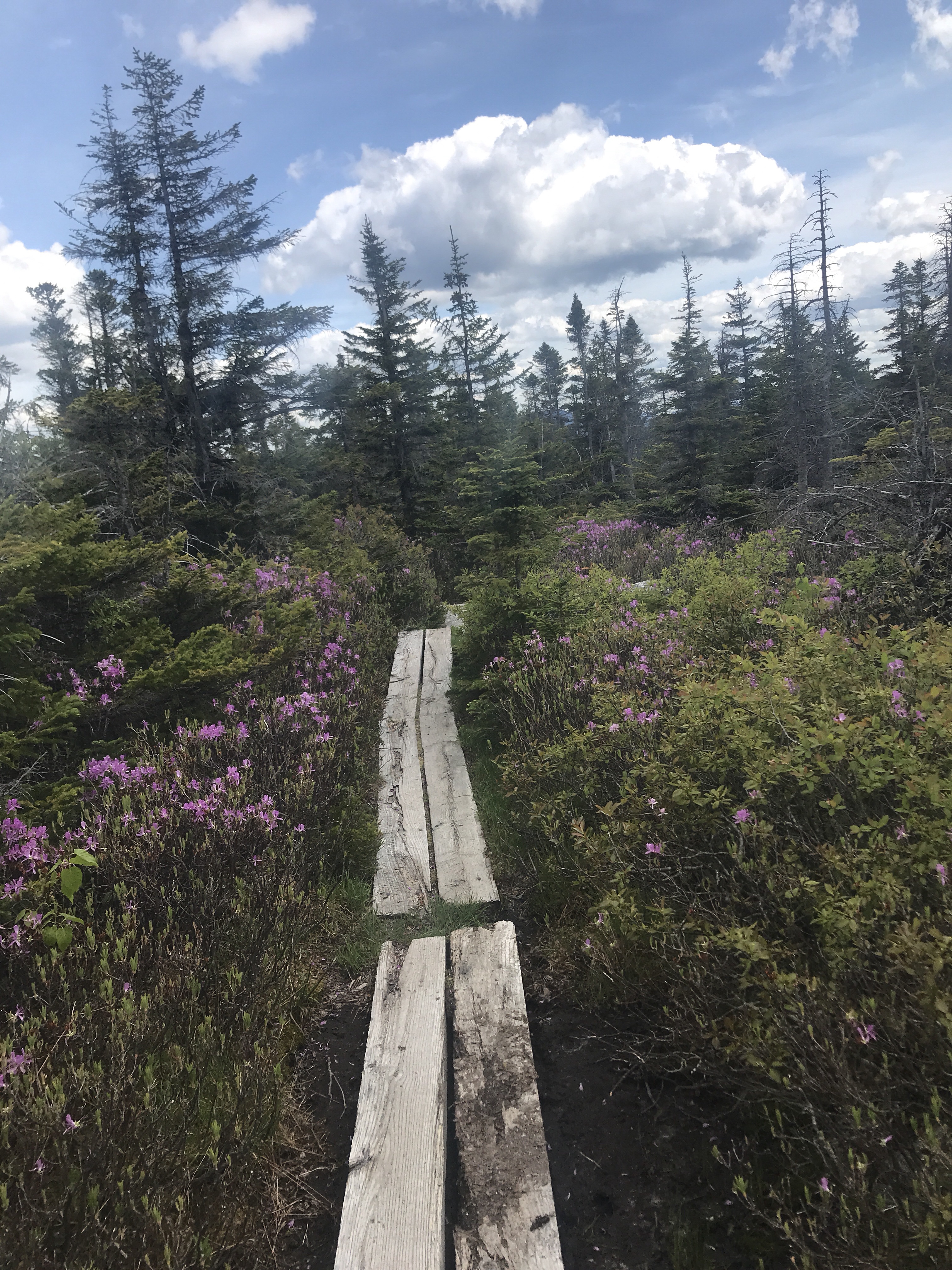
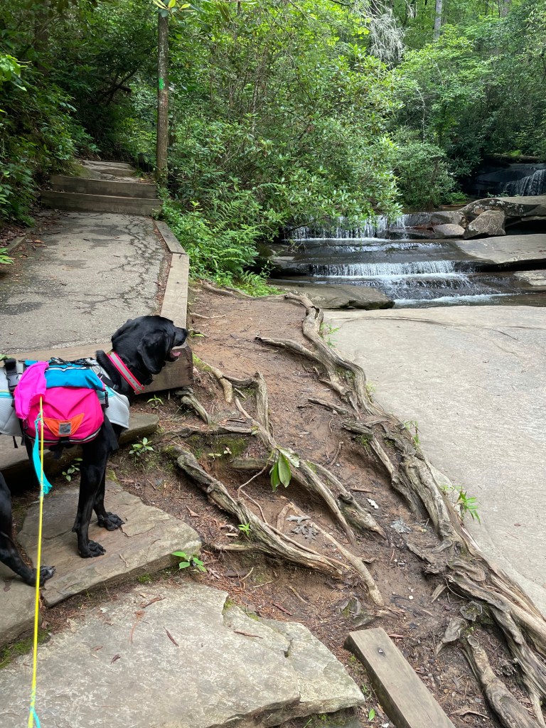
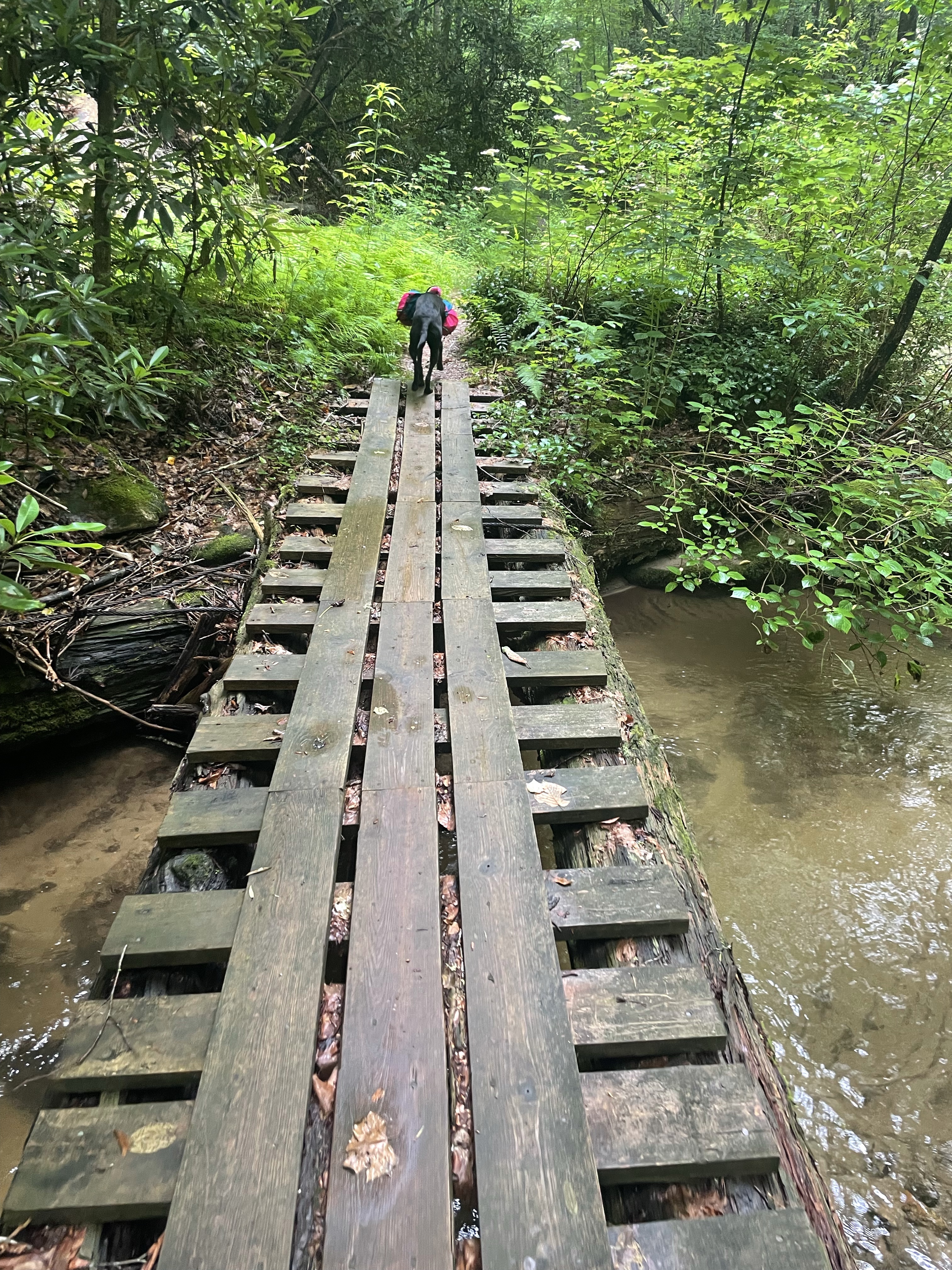
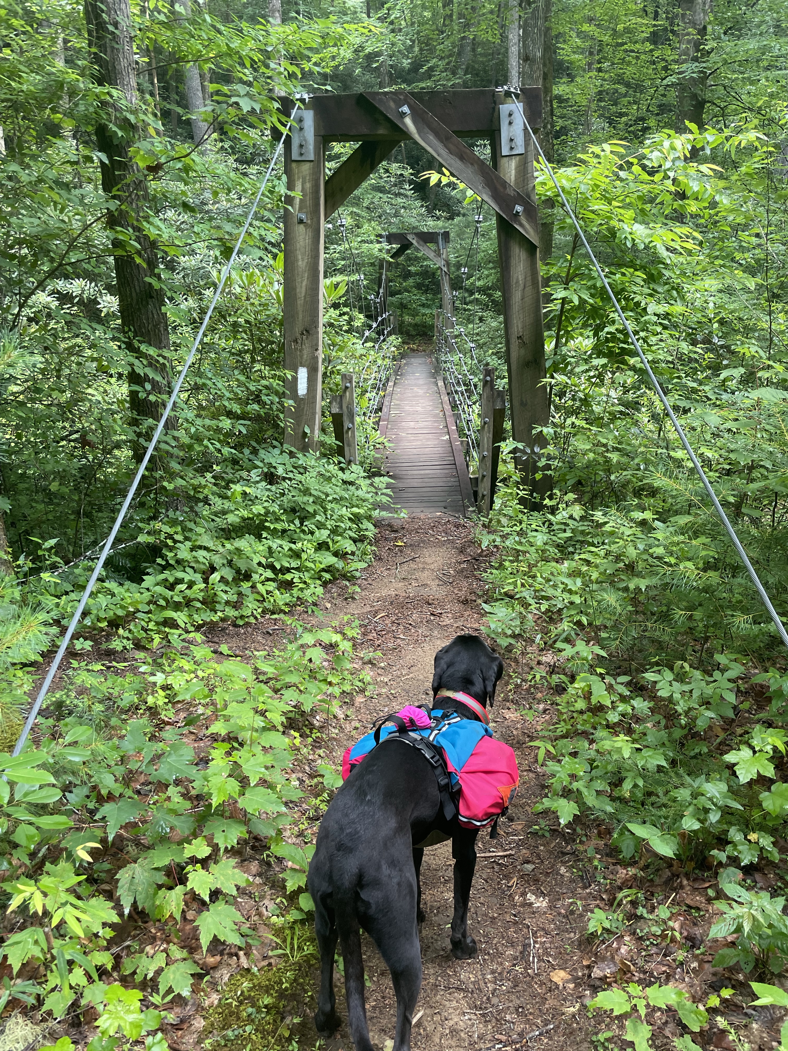
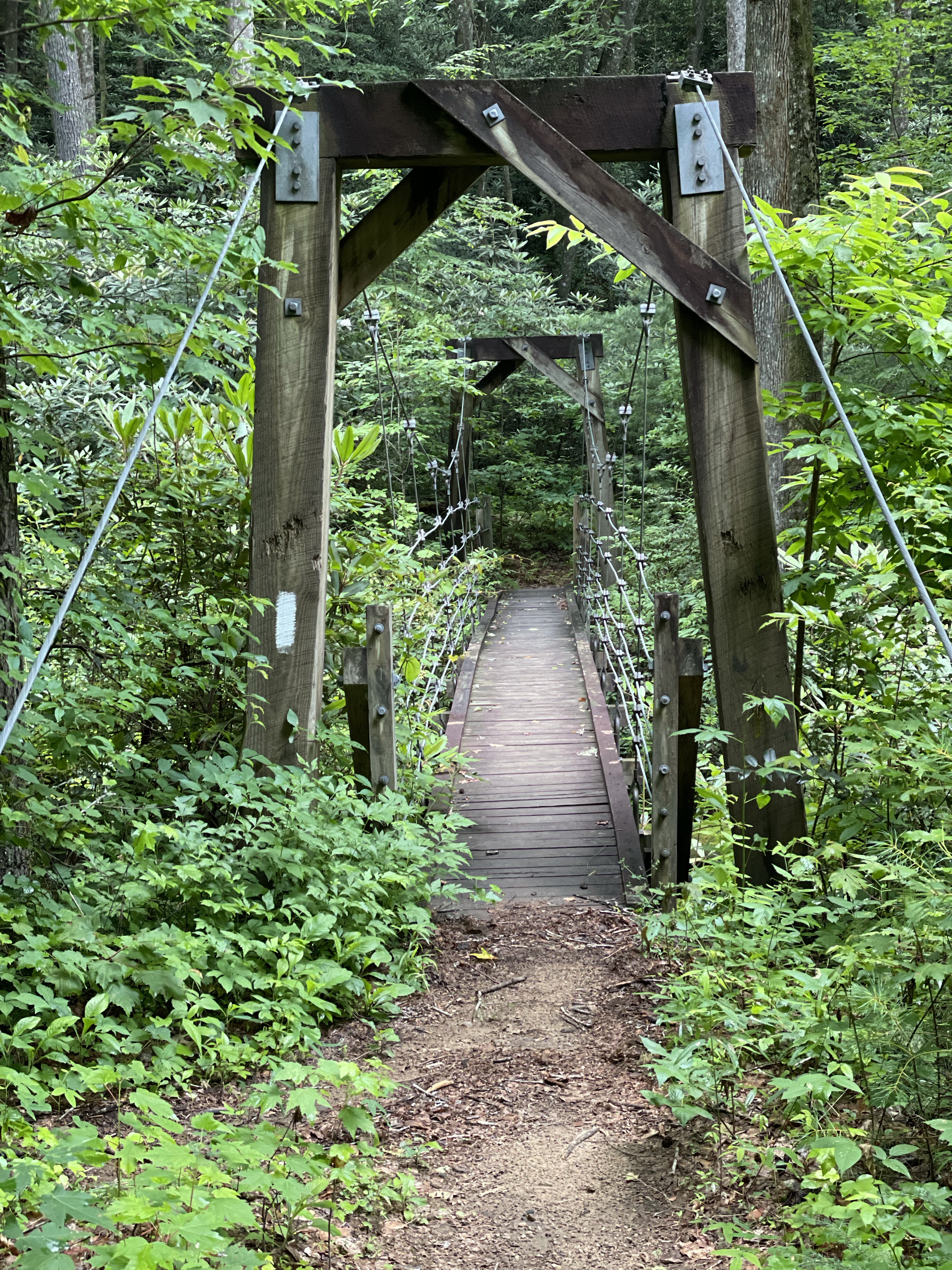
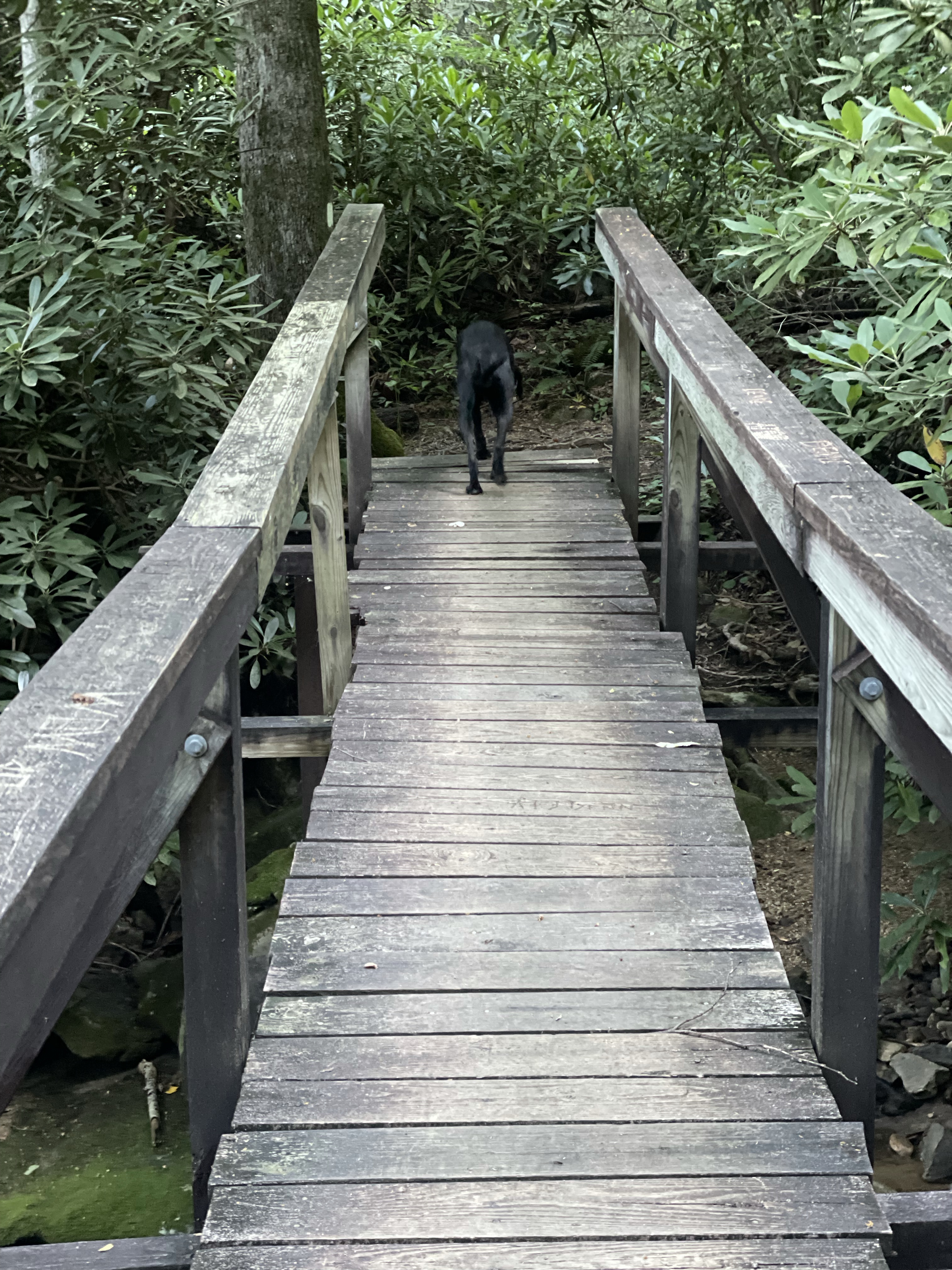
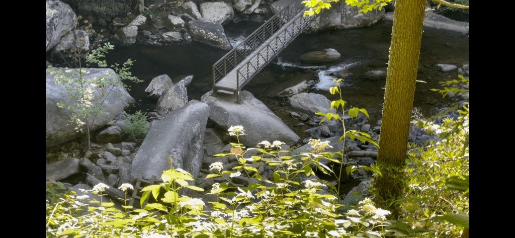
I’d tell you all the bridges we crossed but honestly there were a million. Some were fancier than others, and Tellico had some opinions about a few. Mostly, any missing slat or gap in the middle and she’d wait for me to go first. Better make sure I survive it before my dog will chance it (smart girl). Laurel fork falls were beautiful, though.


We made it to Rock Creek Campsite after a frustratingly long and steep climb, so I sat myself down next to the stream and soaked my feet. I rinsed my hair and ate the rest of my lunch while Tellico took a nap, and I spread my tarp out over some rocks to finish drying.

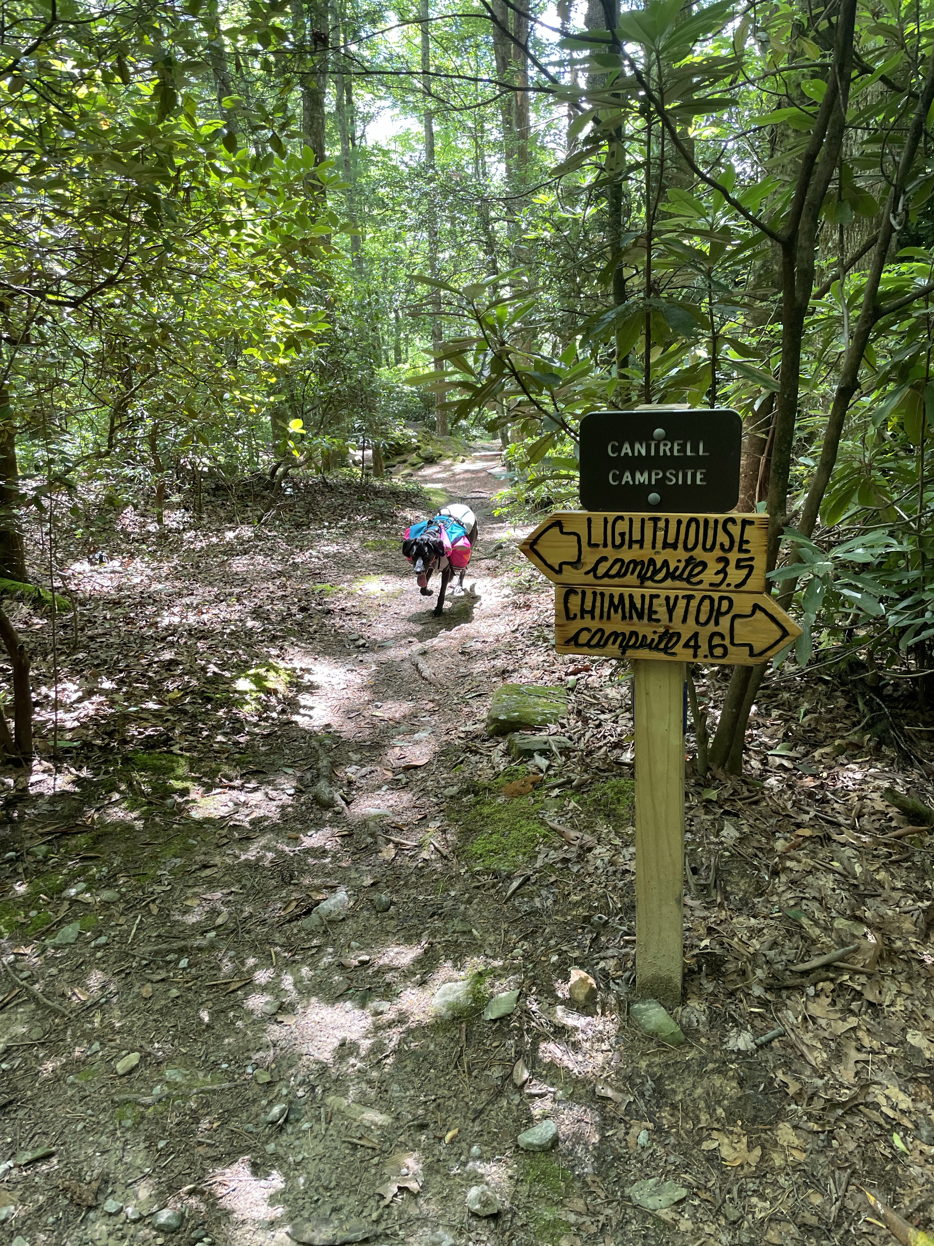
Rested and refreshed, we set out for the 1.2 miles to our campsite for the night, toxaway.
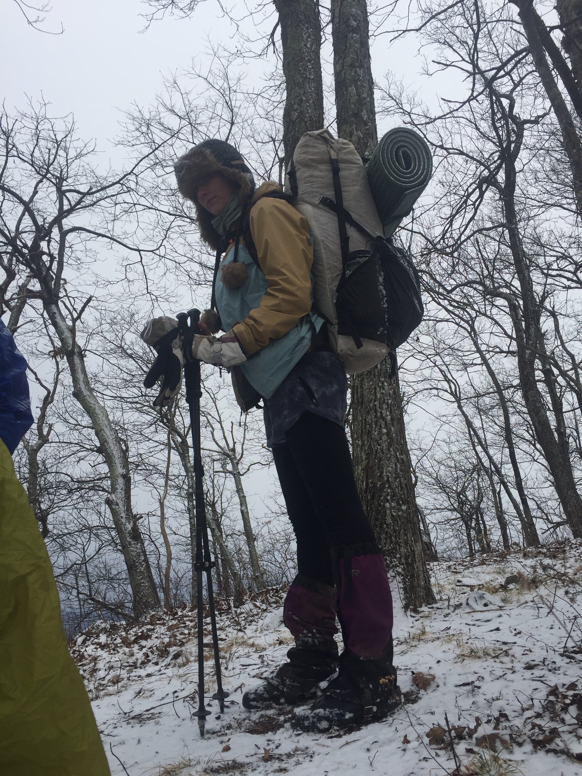
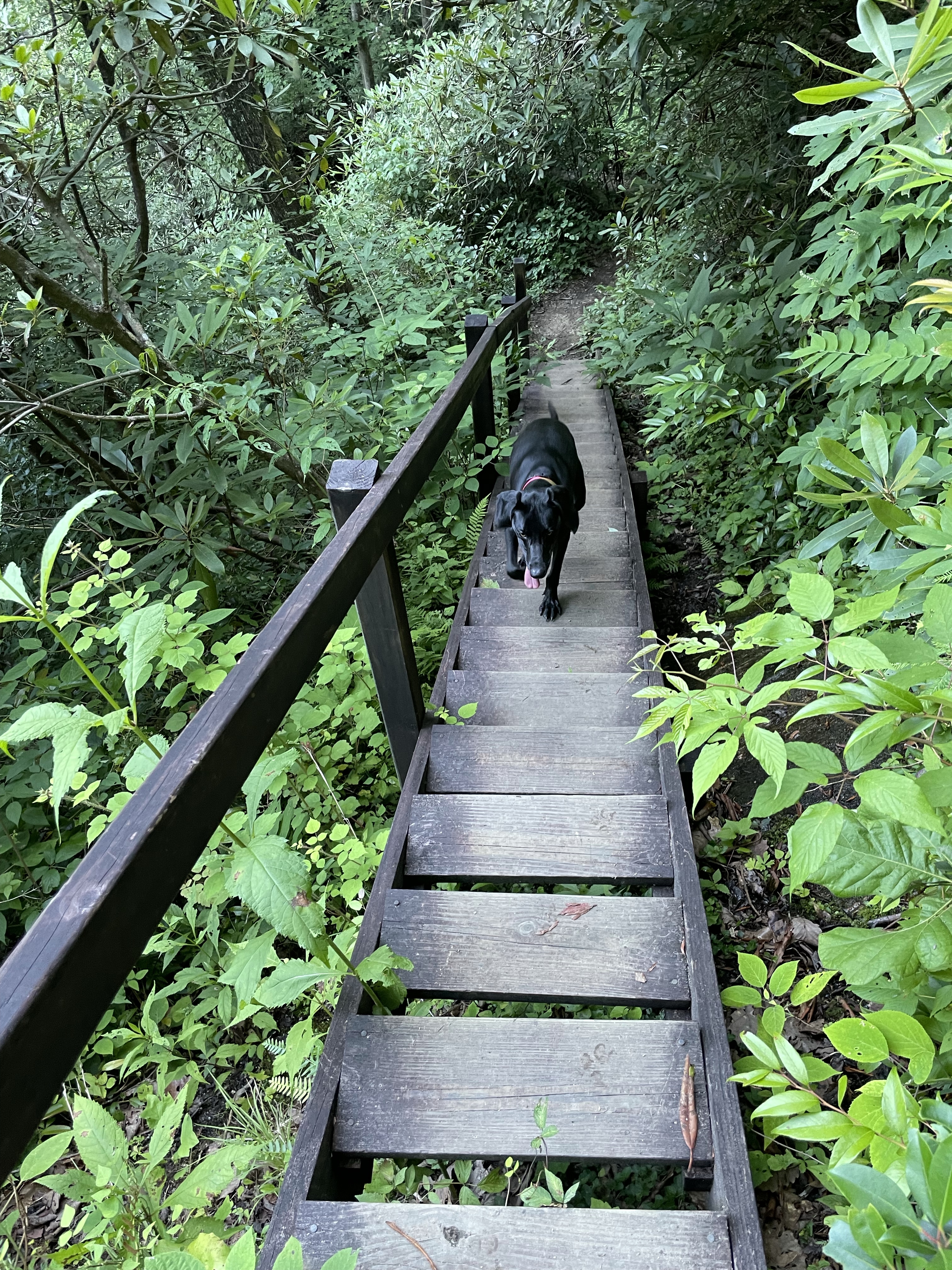
Now you may say, wow, 1.2 miles? Why bother? And I’ll tell you why- that mile is heartbreak ridge, and it’s 596 stairs up and then down a ridge and I just wanted to get it over with.
Some of the stairs were less stairs and more ladders, and Telli wasn’t too sure about those. I ended up carrying her down a few, but she mostly made it on her own. At one section I went to sit on a stair so I could lift her down more safely (the stairs at this point more closely resembling a haphazard ladder) and did not realize i was placing my left cheek directly on top of protruding rebar. I have a lovely souvenir of that lack of observation. We were both *extremely* glad to have that finished with though. That was intense.

We walked along the Toxaway river for a bit, scoping tent sites. Most of the sites close to the bridge were taken by some large group, so we grabbed water from the stream and went back to a site set off by itself.
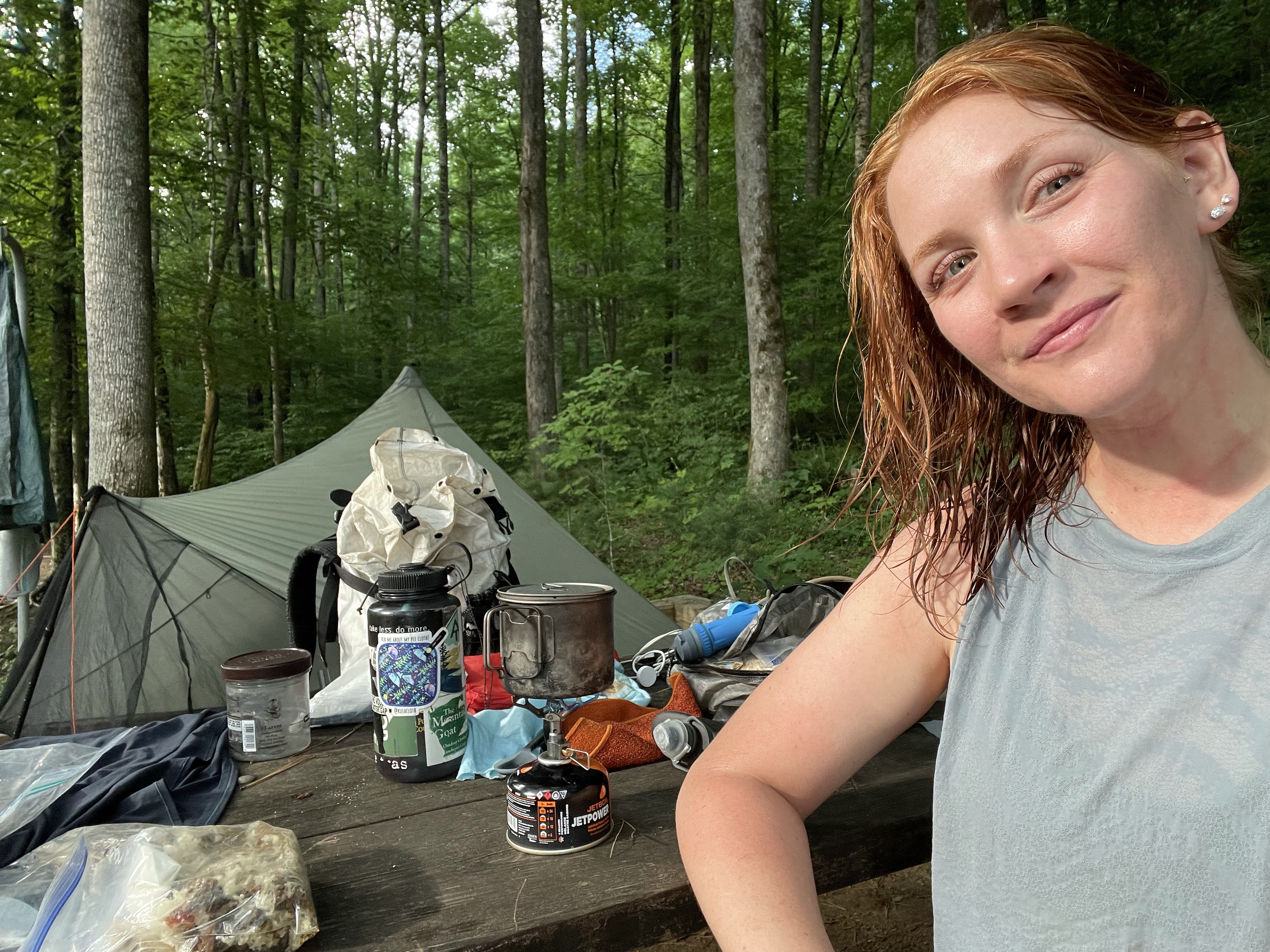
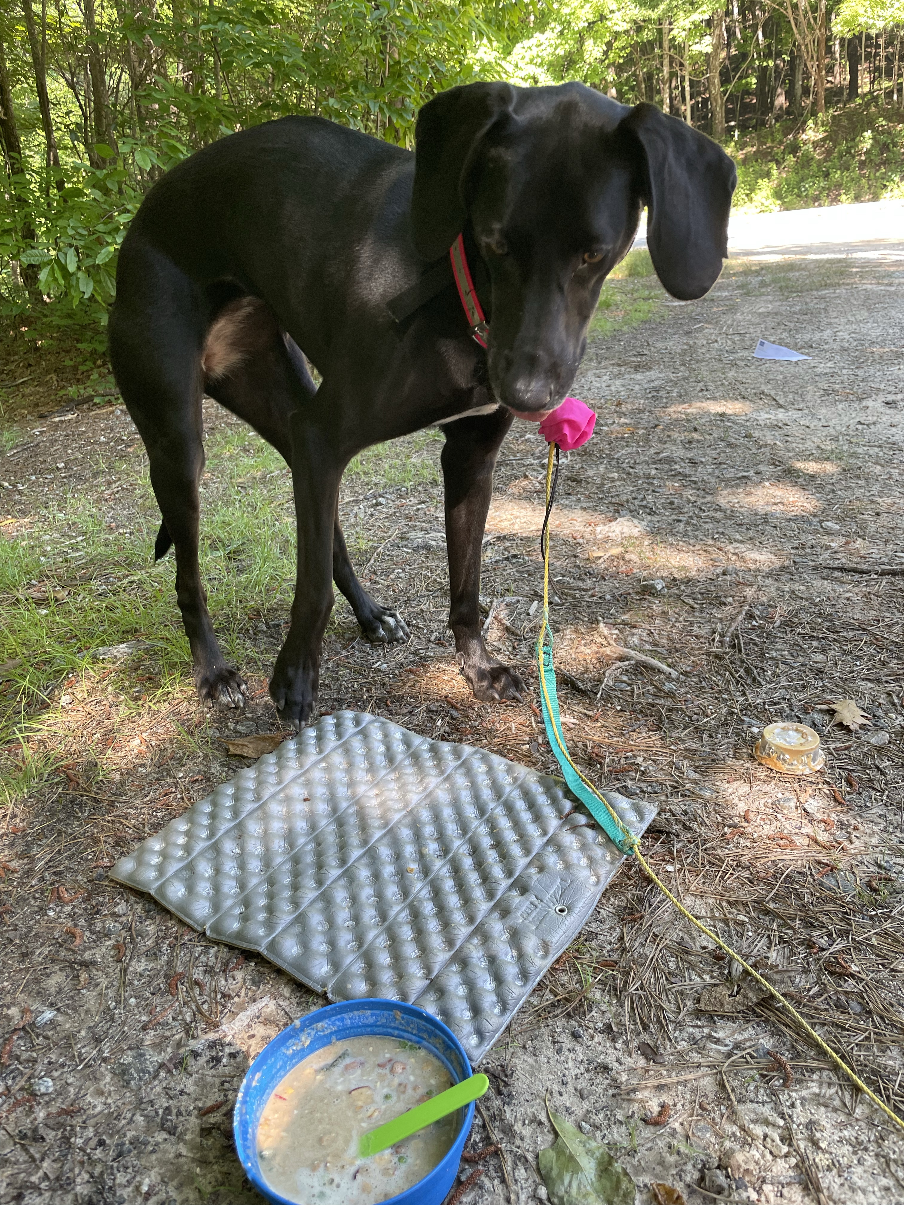
First order of business was to get everything dried out, so I set up my tarp and hung my ground sheet over the fire pit. I cooked tellicos dinner and she gobbled it up (although oddly, she’s been waiting for me to spoon feed her a few bites before she’ll eat it from the bowl. I’m not sure what’s up with that, but it’s pretty darn cute). I made my dinner and settled in for the night.

Tomorrow is supposed to be a 22, although it doesn’t have to be. The last 2 miles are where our food cache is, but tellico has enough food to get by tomorrow night. I don’t know, we’ll just have to see.
Miles: 14
MVP: stream bath
LVP: surprise rain
******
Day 3: Toxiway to Whitewater Campsite
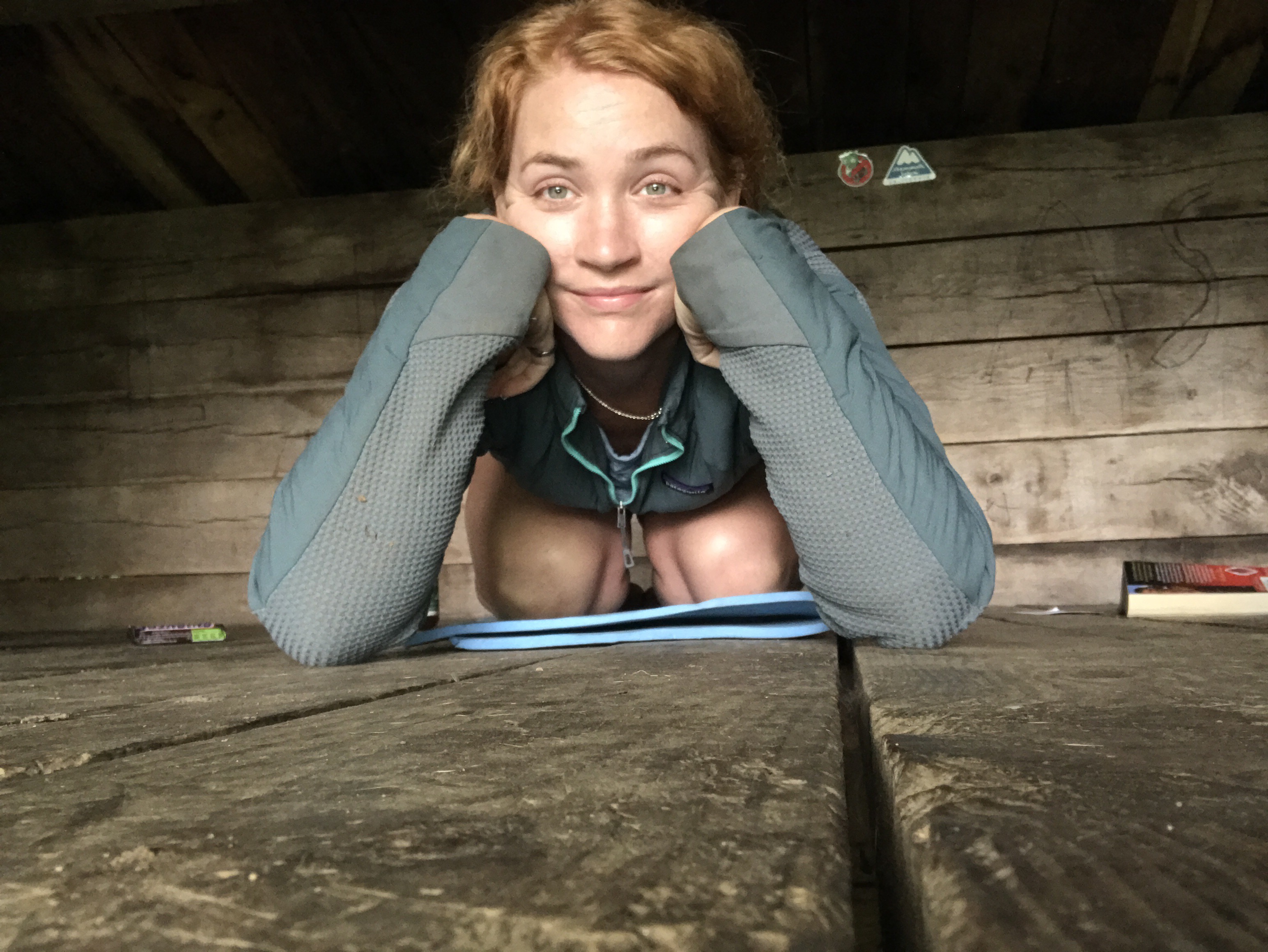
I’m having a meltdown tonight, so if you ever think hiking is just sweat, snickers, and unfiltered water — think again.
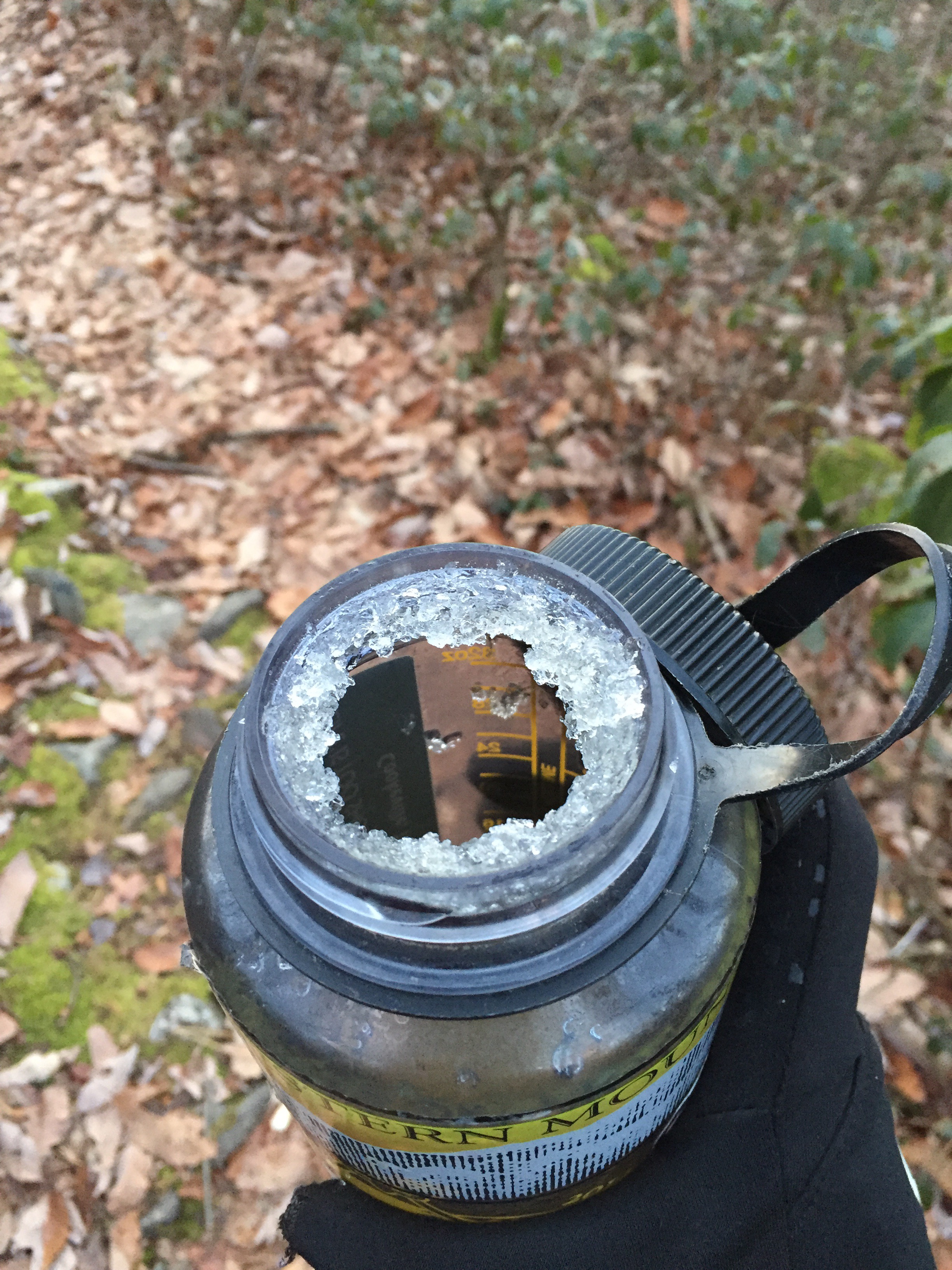
The day started off fine. I woke up a few times with a small leak in my pad, but oh well, what’s new. I packed up fairly quickly, made tellico her breakfast, and took mine to go.


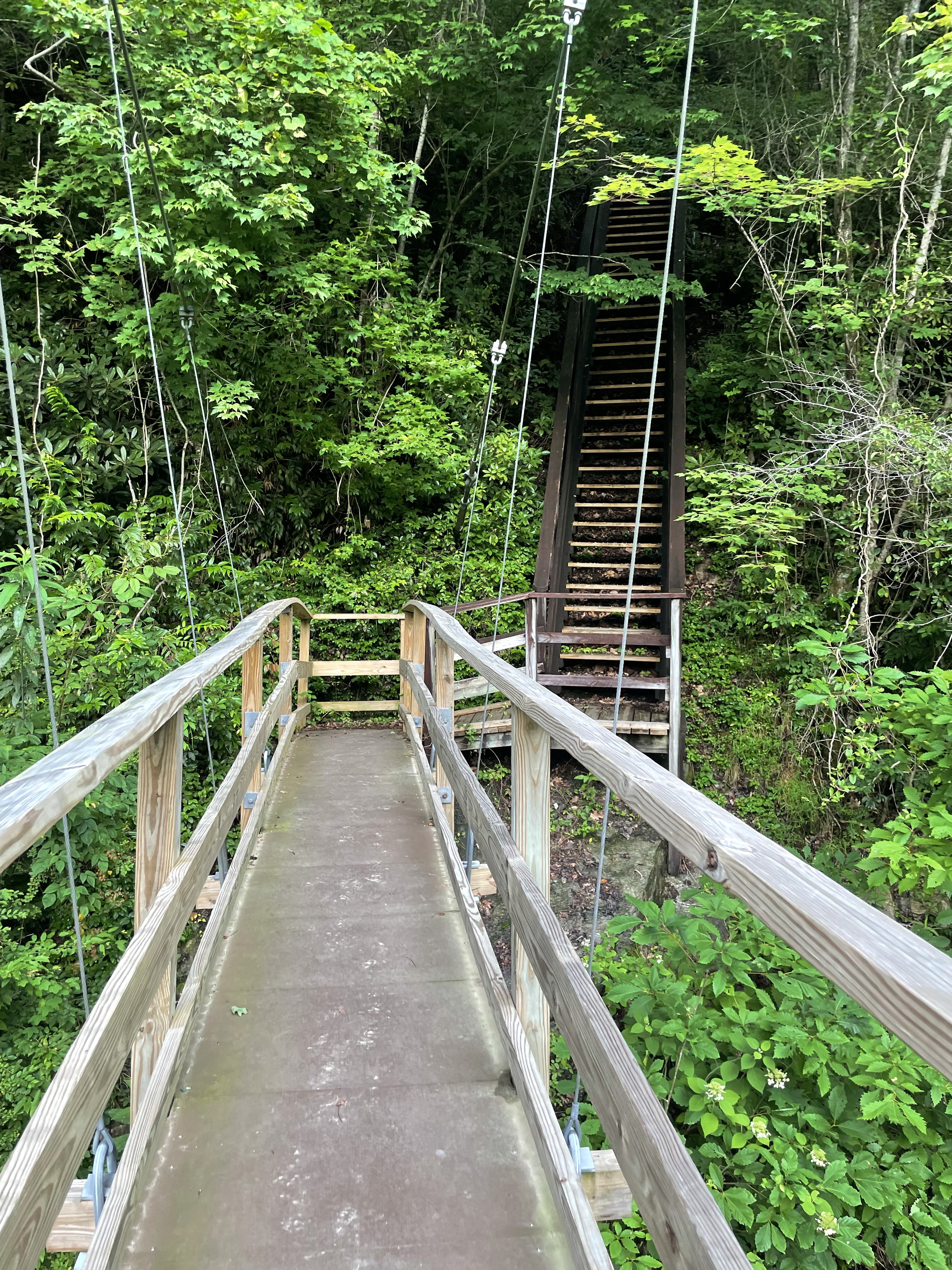
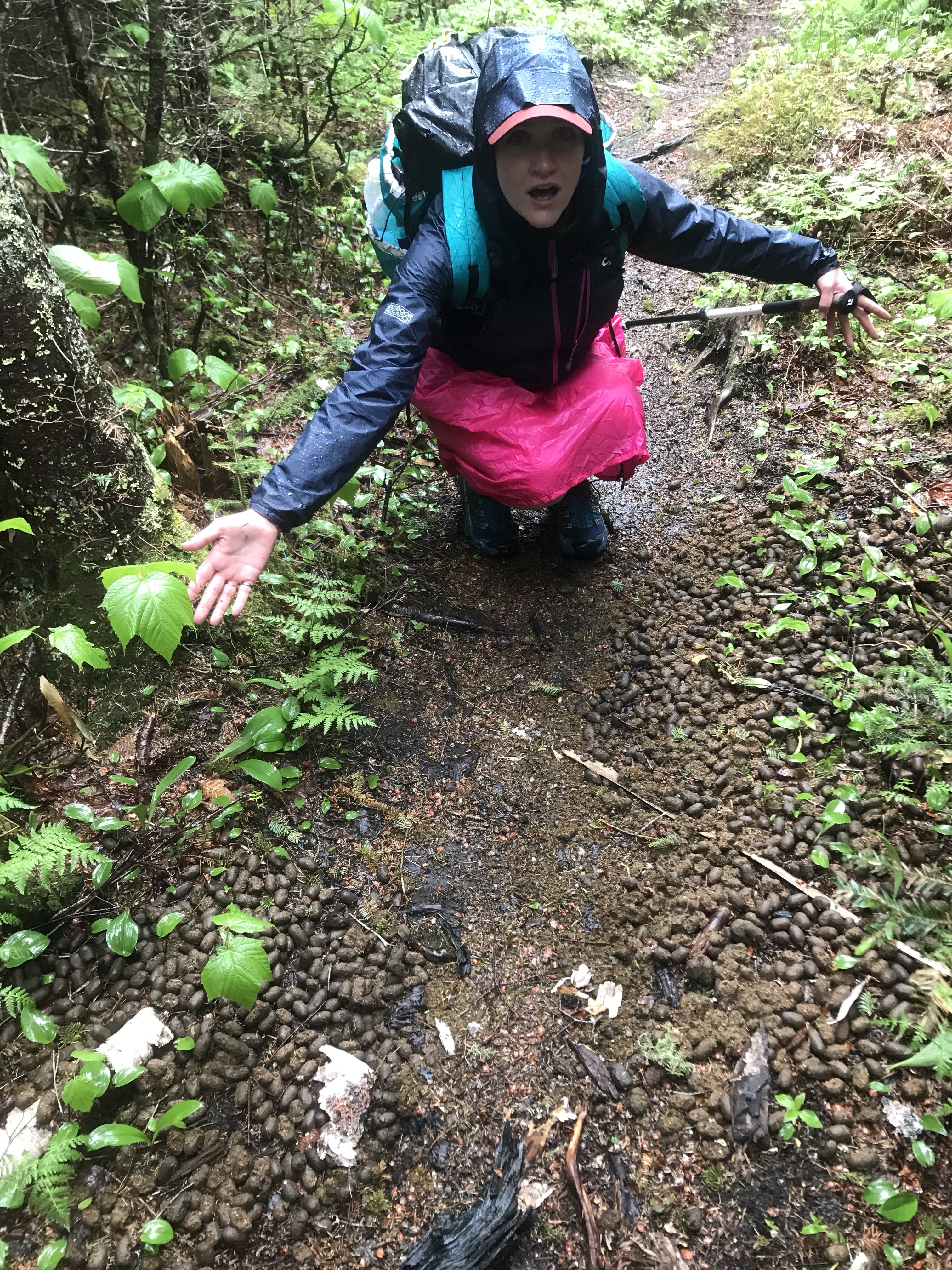
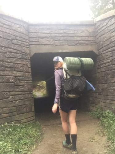
We walked over the suspension bridge and began what felt like an endless parade of stairs, bridges, and steep steep climbs. I swear nothing looked that steep on the map, but here’s the thing: no one really has an exact number for elevation OR distance because there are apparently only paper maps, and who knows when they were last updated. And the trail is anywhere from 77 to 80 miles long. We just aren’t sure. And I’ve already found a couple of typos on the map, so tbh I don’t trust it one bit.

The trail turned onto a logging road, and I hiked myself up it. It was long and steep and after a while, I realized I hadn’t seen a blaze in a while. I remembered Taz laughing at me for getting off trail on Wednesday, and started to look for the blazes. I kept saying “ok, just around this turn, there has to be a blaze.” But there wasn’t. And of course I had no way to know if I was on trail or not. So I did what I suspected was the sensible thing and turned myself around. I was probably .75 up the road when I turned around, and I was almost to the bottom when I finally saw a blaze again. No, there had been no turnoff, the dang road just wasn’t blazed. I hiked myself BACK up that mountain and this added an extra mile or two to my day.
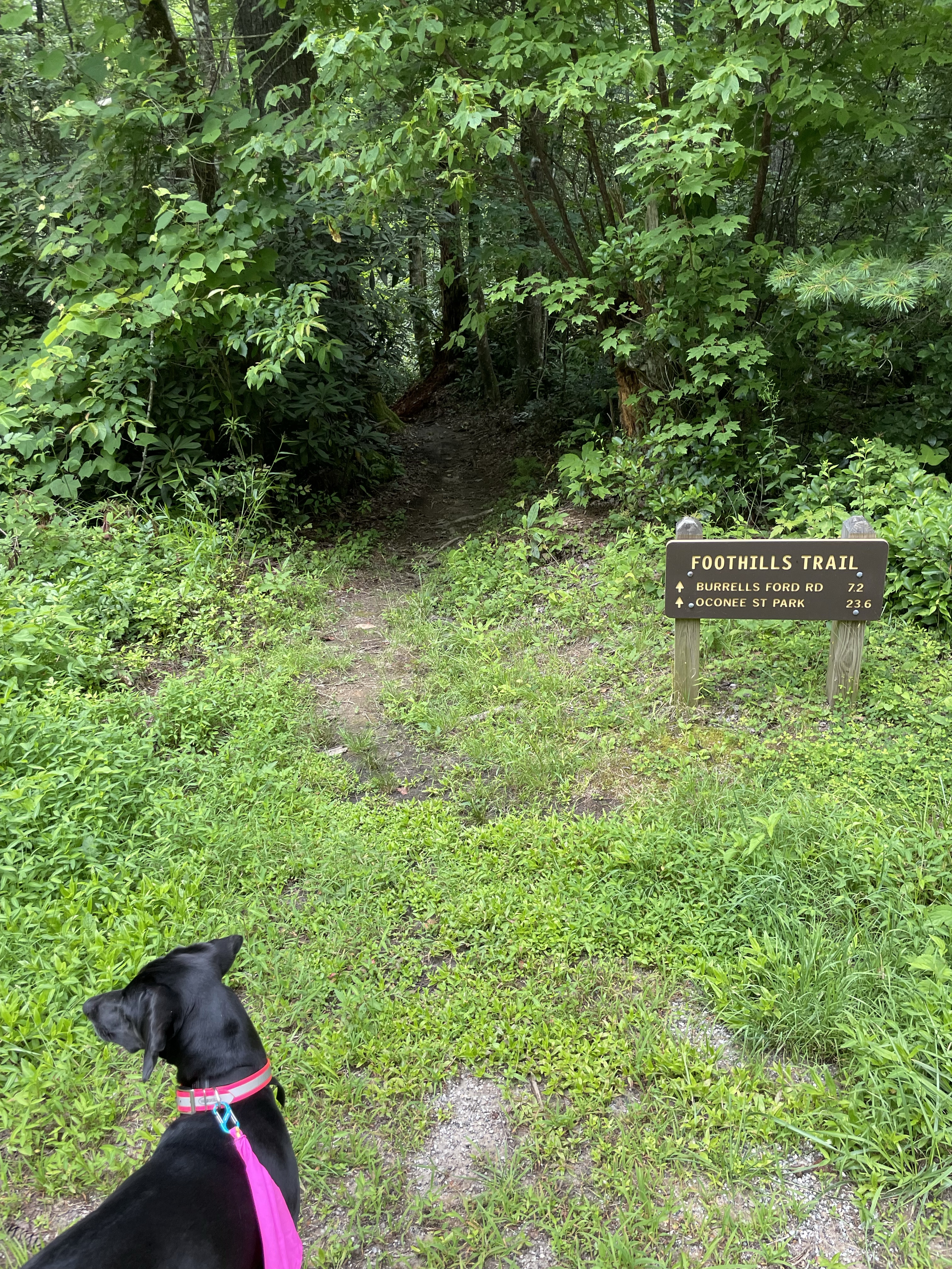
Leashes are required in the state park we were walking through, so we each spent the morning battling each other. I did let her off to work out some issues with a squirrel though. Sometimes a dog needs to sniff a tree for herself.
We rounded a curve and wouldn’t you know? Little bear nibbling on a branch. Tellico stood stock still, and so did I. She was quiet as a hunting dog, not moving an inch, until the bear looked our way. A few barks and whines from tellico and little bear was up and out of there. Effective! No other bears came so we headed on our way.


We managed one grassy ridge and then it was back in the jungle.

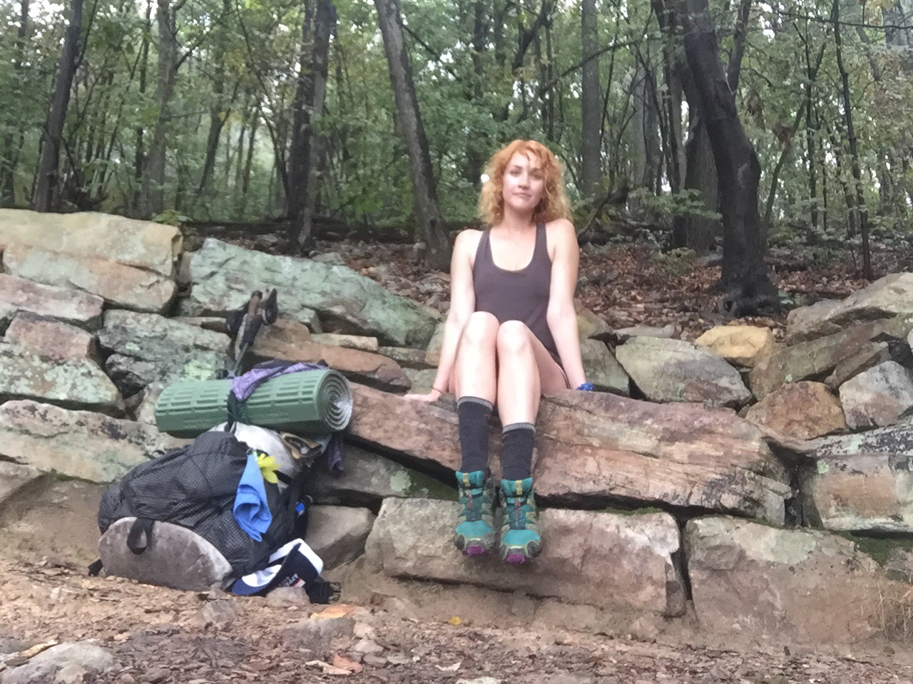
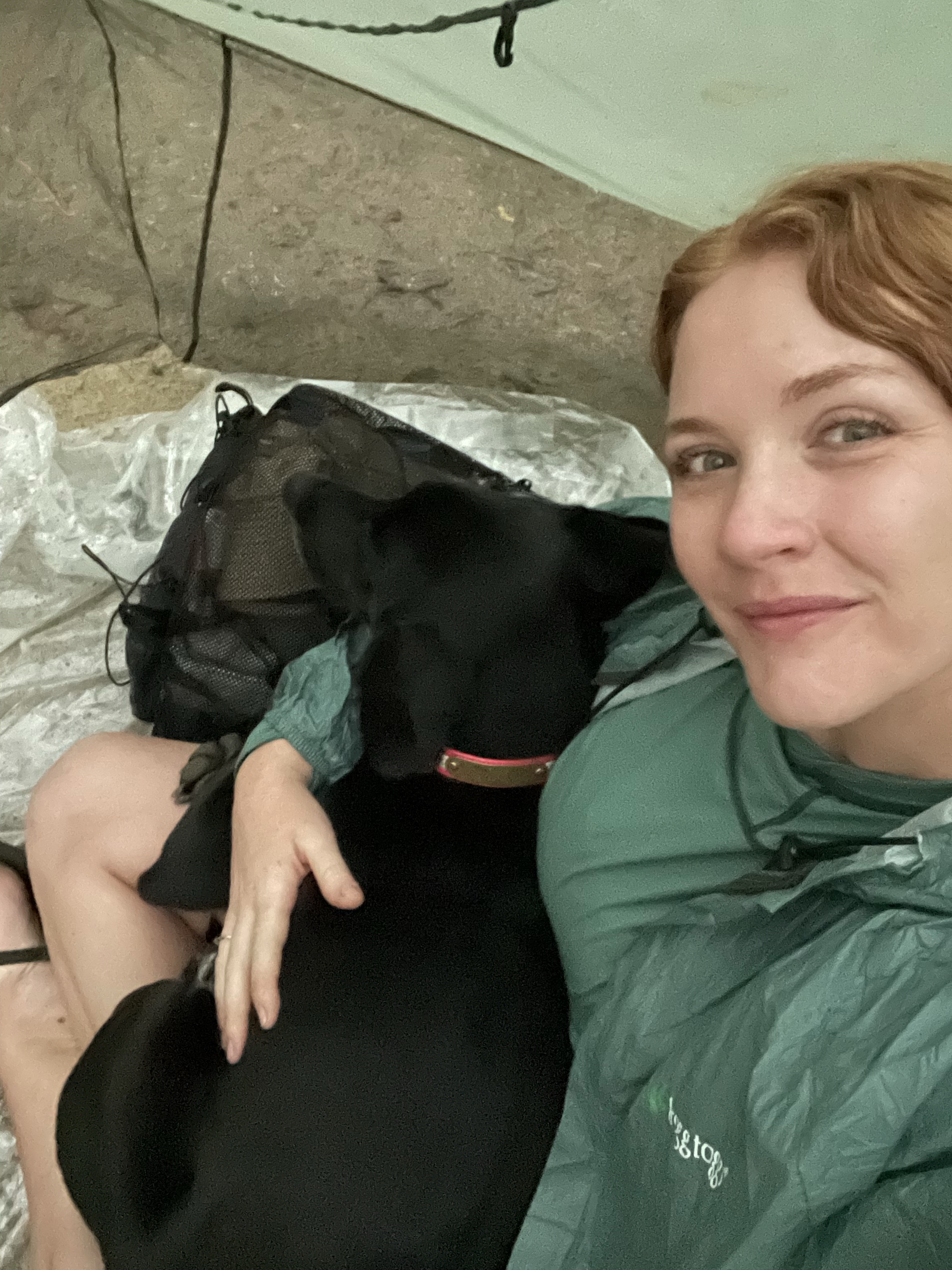
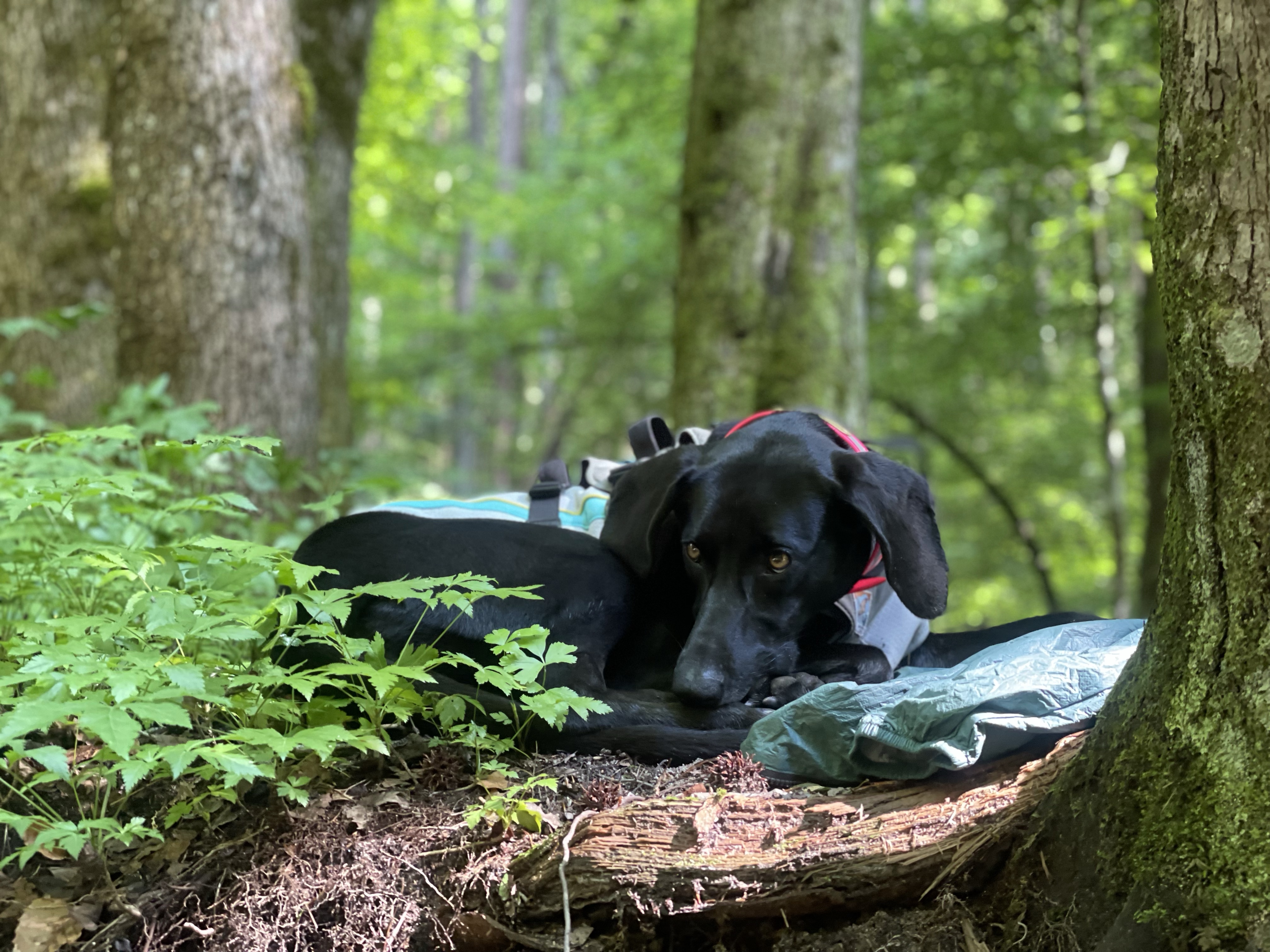
We stopped for first lunch at bear camp campsite. Tellico finished her breakfast and then took a nap. I ate some snacks and got my cold soak lunch soaking, so it would be ready to go in an hour or two for second lunch. I went to give tellico some belly rubs and found 1. A tick, which she would NOT let me get off with tweezers and 2. Some chafing in one armpit, presumably from her pack. So I loaded her pack onto my pack, put on some ointment (she was not a fan) and off we went.
We crossed a bridge with one piece of wood missing, so tellico wanted me to risk my life first. I obliged but she didn’t trust me, so I just lifted her over it. Problem solved.

More stairs, more climbs, more bridges.


At this point Tellico considered herself an expert on bridge crossings, so long as they were in good repair, so she crossed ahead of me and went off the other side to explore the rocks next to the river. I was about to the middle of the bridge when I heard a huge splash! I guess tellico saw the pollen-covered surface of the river, with a few logs floating in it, and assumed it was land? Or maybe she slid off the rock? Either way, she managed to get herself out of the water and into some grass before I even got there. She was desperately trying to dry off her face, so I threw down my pack, got out her towel, and started drying her off. We took a break to let her recover from that trauma — and it was a trauma, took a lot of treats for her to come sit on the rock with me — but she eventually recovered.
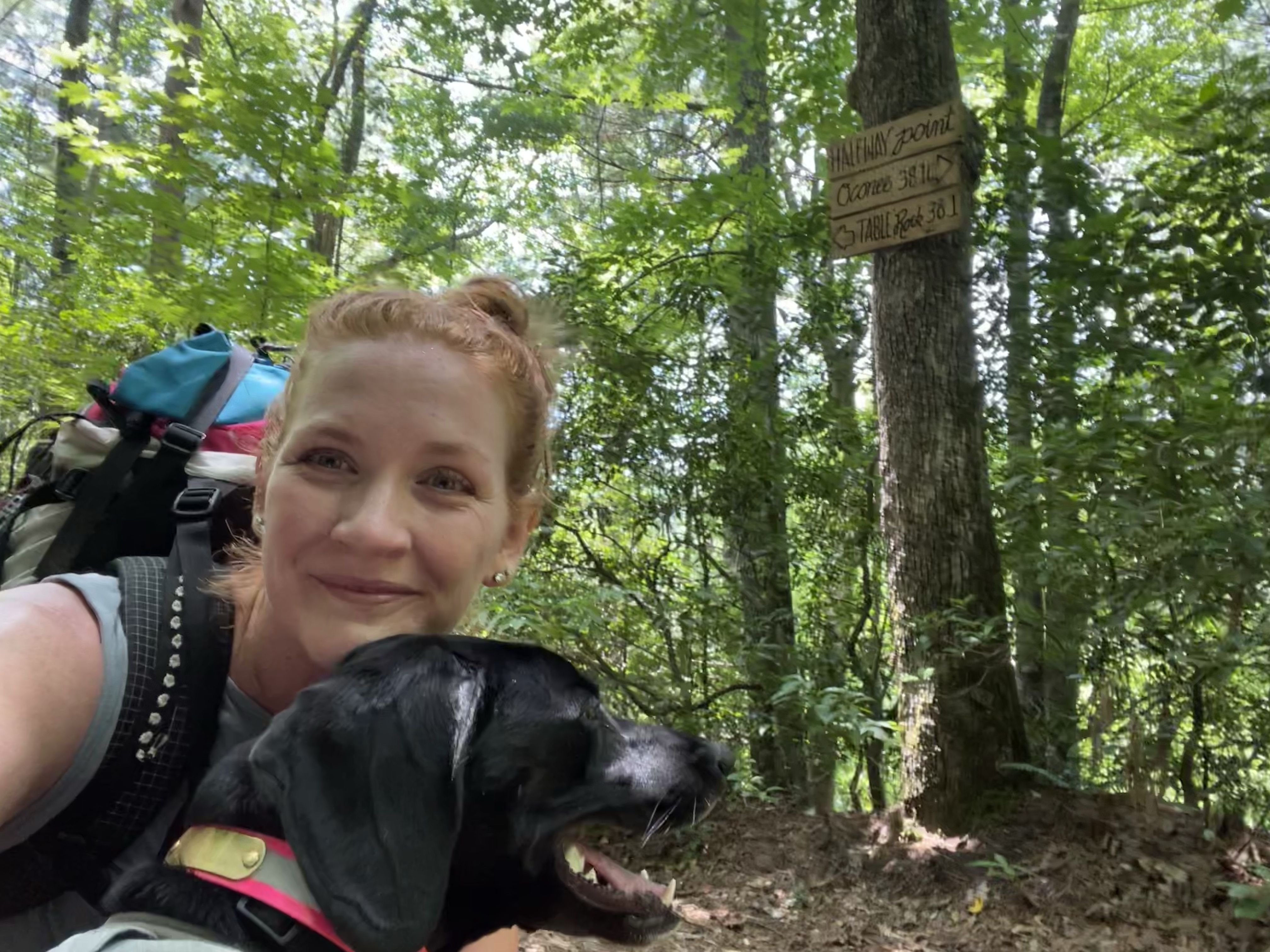
More stairs (so many stairs), a long climb, and we hit the halfway point!!

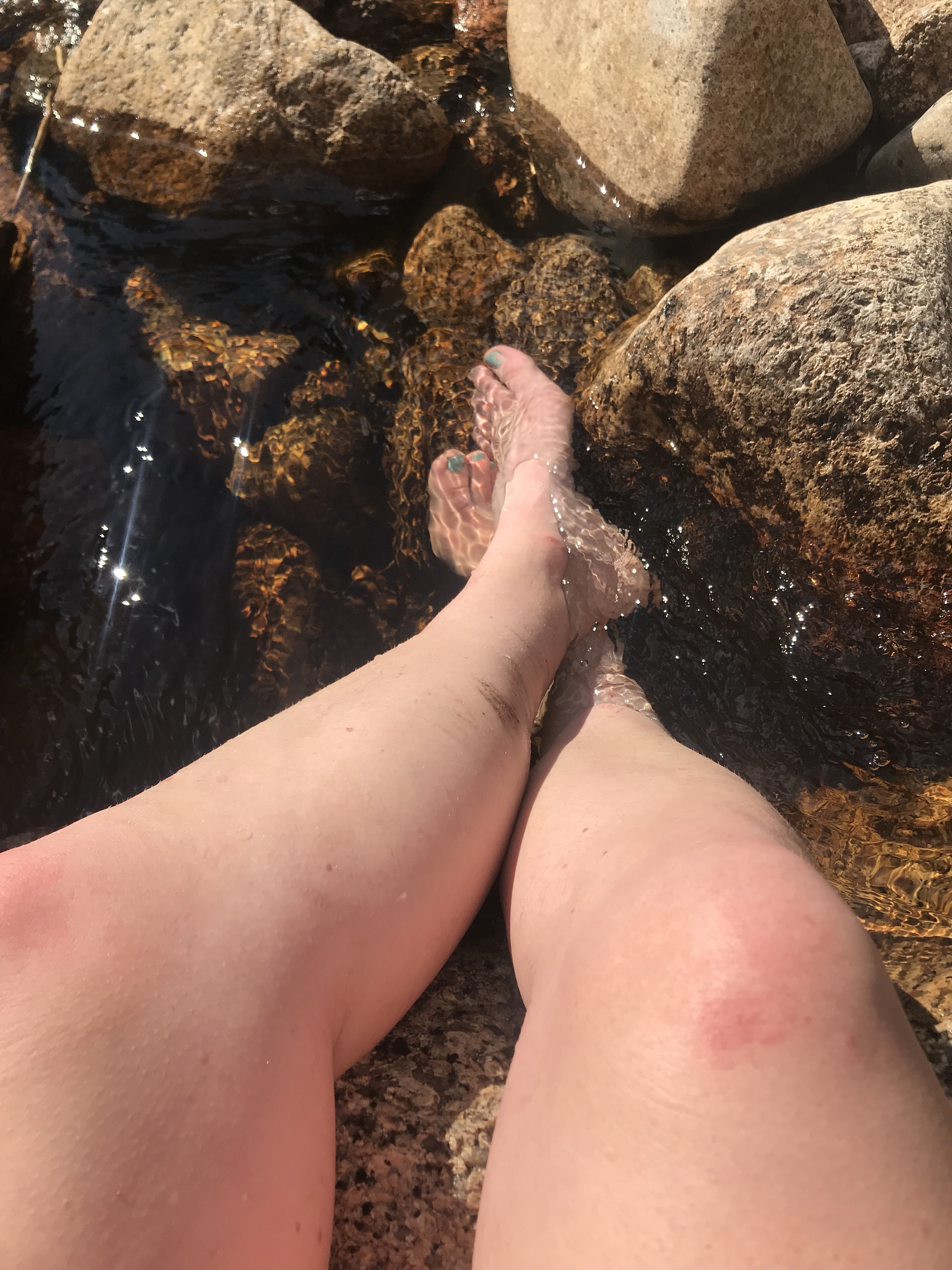
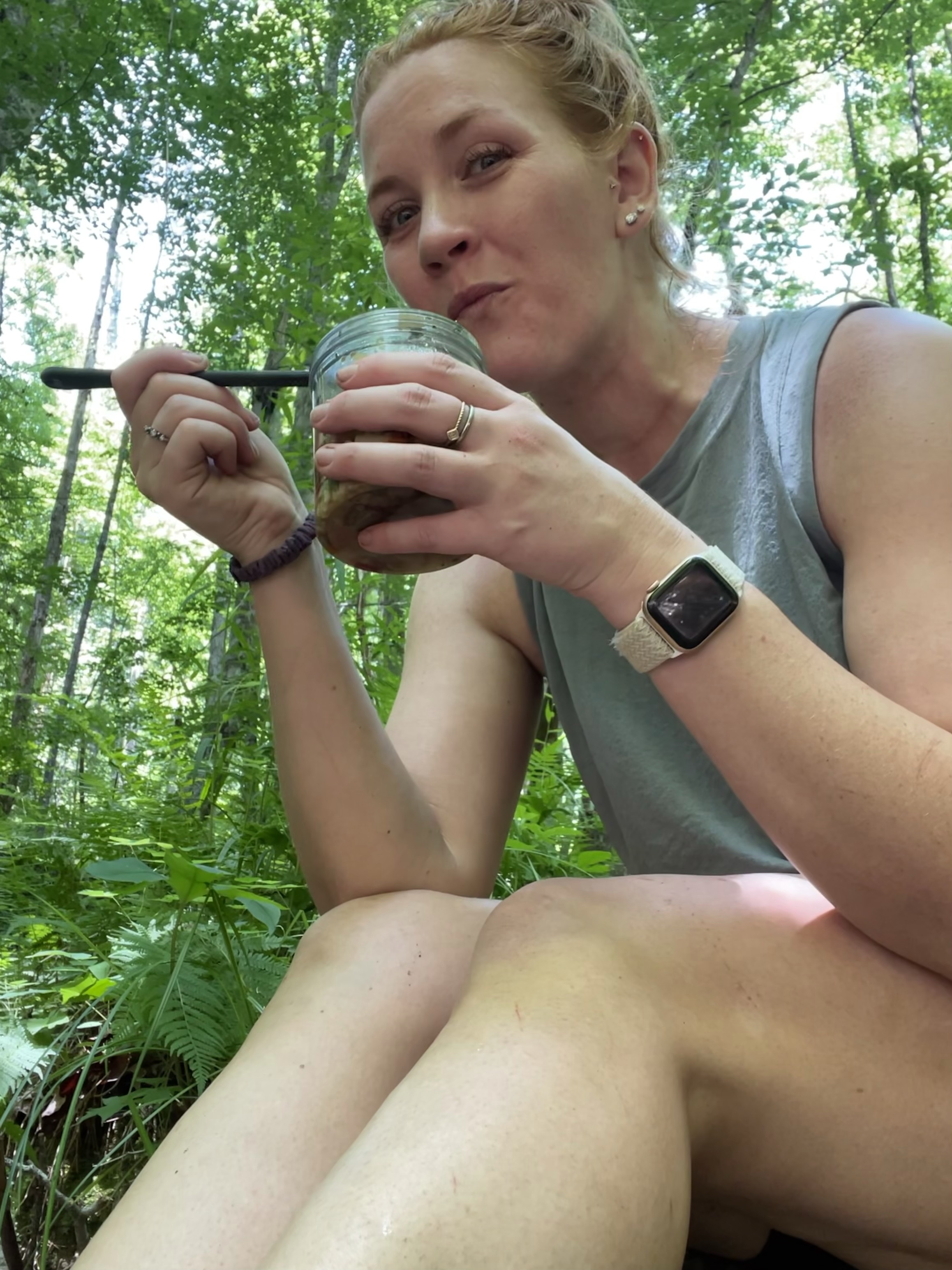
We stopped at a spring for second lunch. Tellico got her fill of water, I soaked my feet while I ate pasta salad, and everyone was happy.

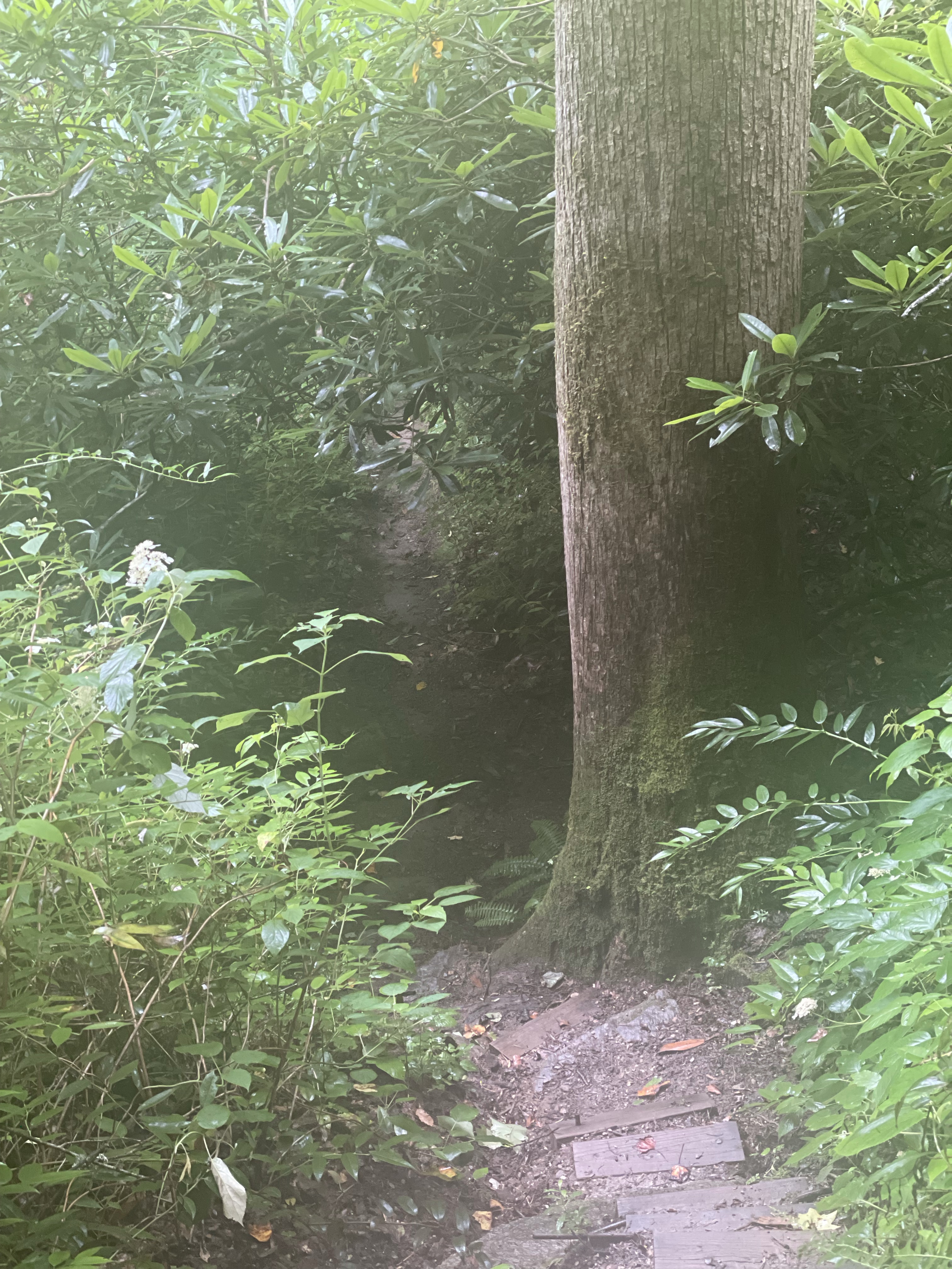
The woods got thicker and stickier and some might even say lush, but this time of year I say NO THANKS. I rubbed my arm and found a dead bug. Had he died of deet? No, he drowned in my sweat. That’s how humid it was.
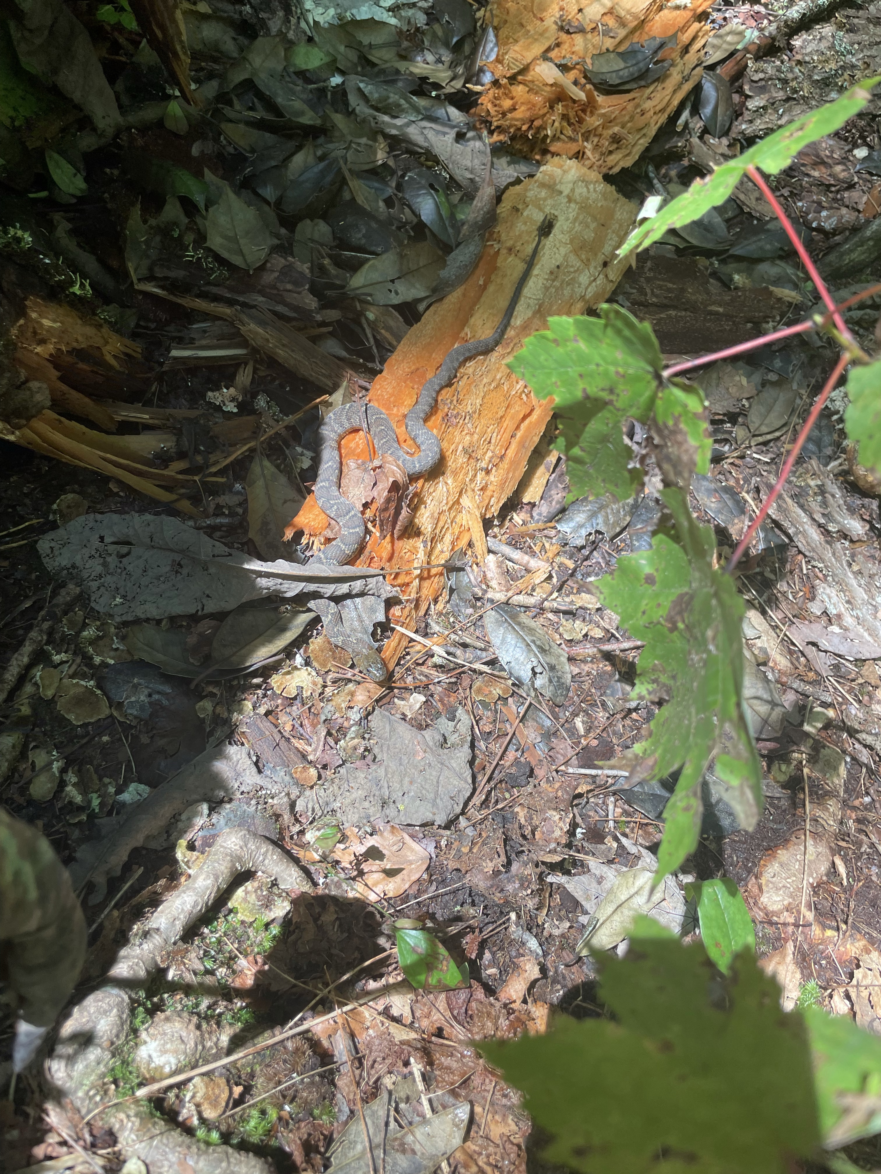
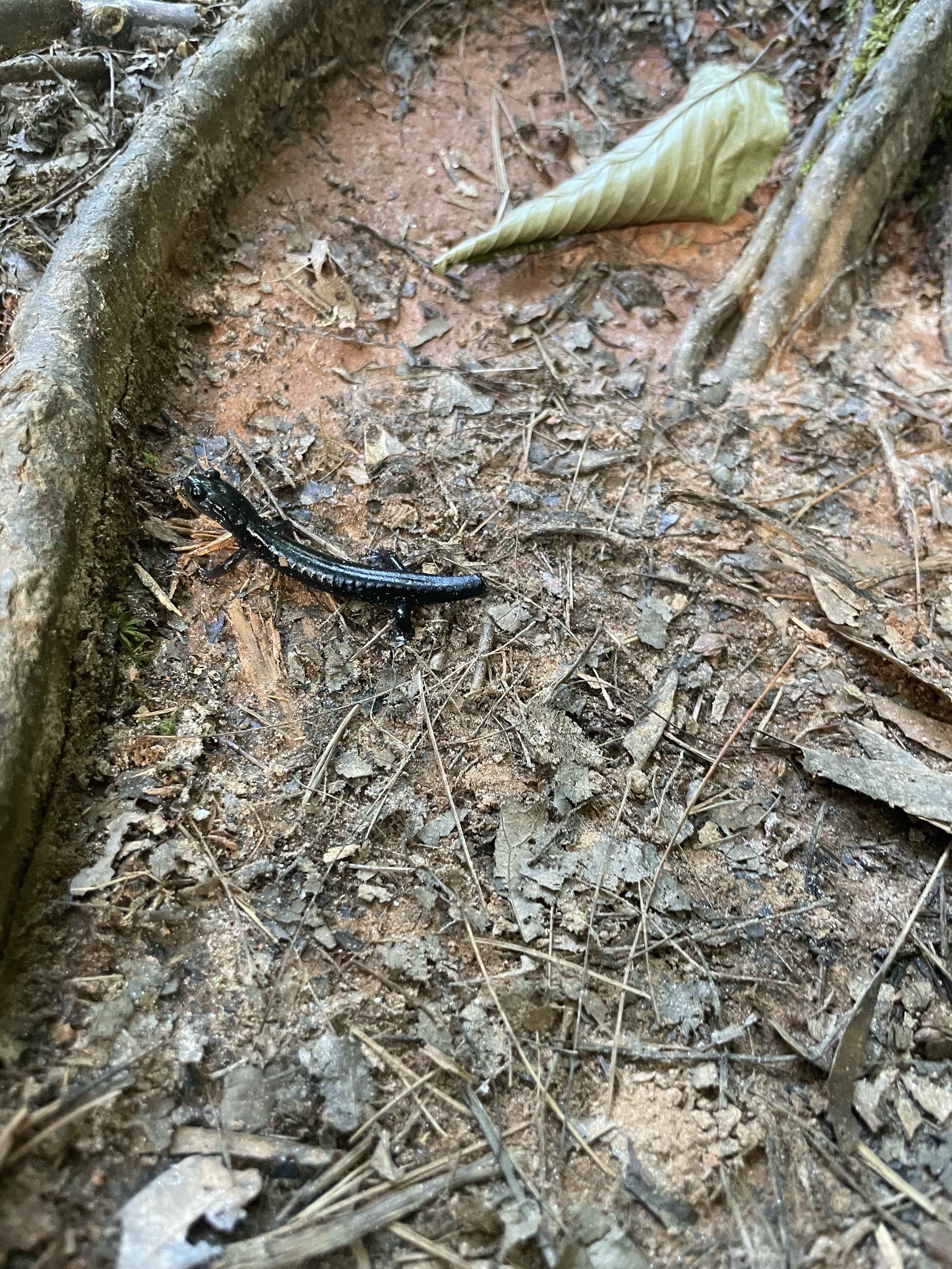
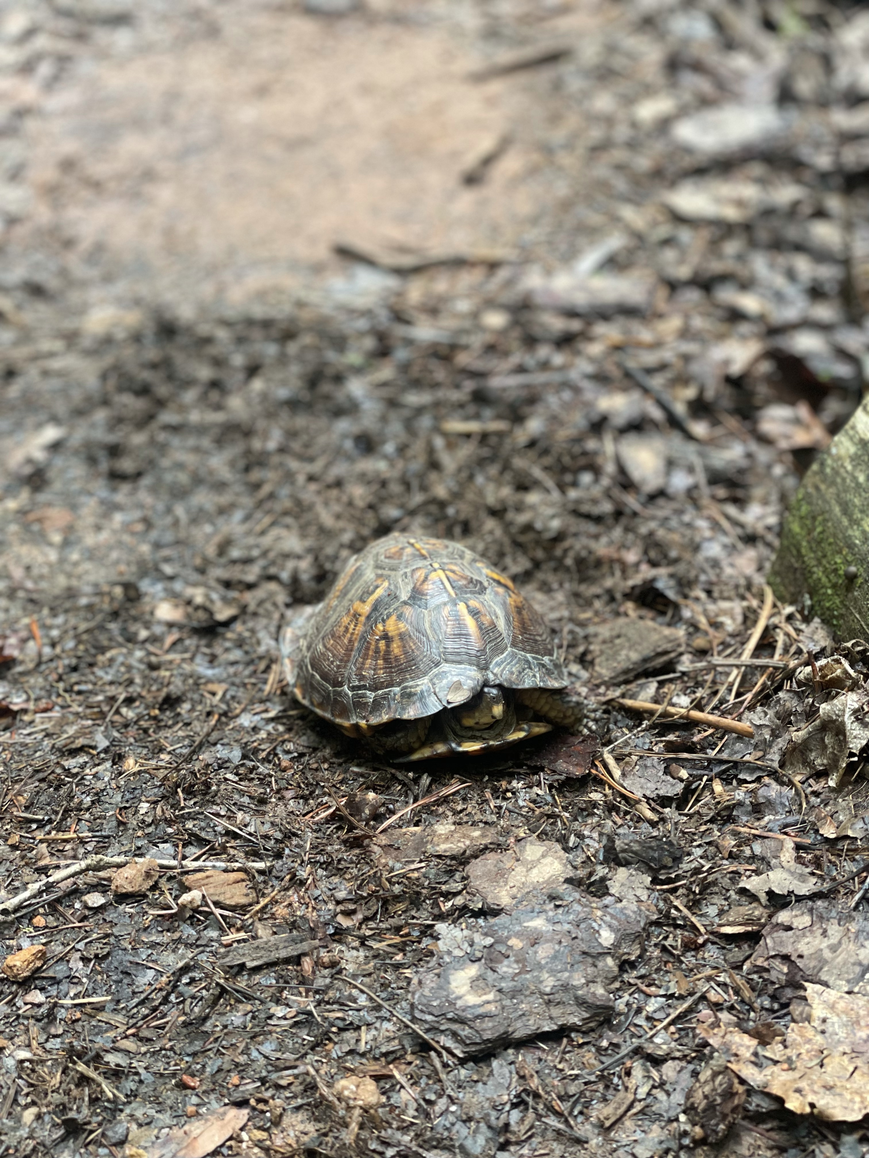
We both stepped over this tiny snake and almost missed him!


We climbed STAIRS and finally got up on the ridge with a little more air flow. Maybe even a breeze?
Before I expected it, we were 3.3 miles from our last opportunity to camp before we had to commit to a 22 mile day. I’d been waffling all day, mostly depending on how hot it was or how steep the hill was. But after a discussion with a passing hiker, I decided we were calling it quits for the night. We headed down to the campsite, I fed tellico, and then made myself a fire
Well I tried to anyways. It caught, but was a lot of effort to keep going and there just wasn’t that much wood around anyways, so I gave up.
Anyways, I don’t know if it’s the dehydration, exhaustion, lack of dinner, the heat, or just normal anxiety, but I almost started crying. I felt guilty having tellico hike when she was getting hurt, I worried she needed more food, I didn’t like that our last day wasn’t going to be super short ow… and on top of that, there are bees EVERYWHERE. There’s just a constant droning. I had to google “when do bees sleep” just to give myself some peace of mind (they sleep approximately 5-8 hours per day, usually at night).
It’s been a while since I’ve done a hike this long, too, and it’s easy to fall into the trap of thinking “if I made a plan I have to stick to it or better it” when that’s not true at all. It’s a little bit true when you don’t pack enough food for contingencies, but I’m still alive so it’s not that bad.
I think too there’s a lot of guilt with working Tellico this much. I know she LOVES backpacking, and I know she’s ready for bed at 6pm even at home, but for some reason seeing her curl up alone in the dirt and give me her poor matchstick girl eyes is just heartbreaking, and it makes me feel like she’s miserable. Probably she’s trying to manipulate me into more snacks for her, or even to just go to bed right then so she can snuggle. But I’m so scared she’ll have a bad experience and never want to hike again. I know that’s absurd, bu still.
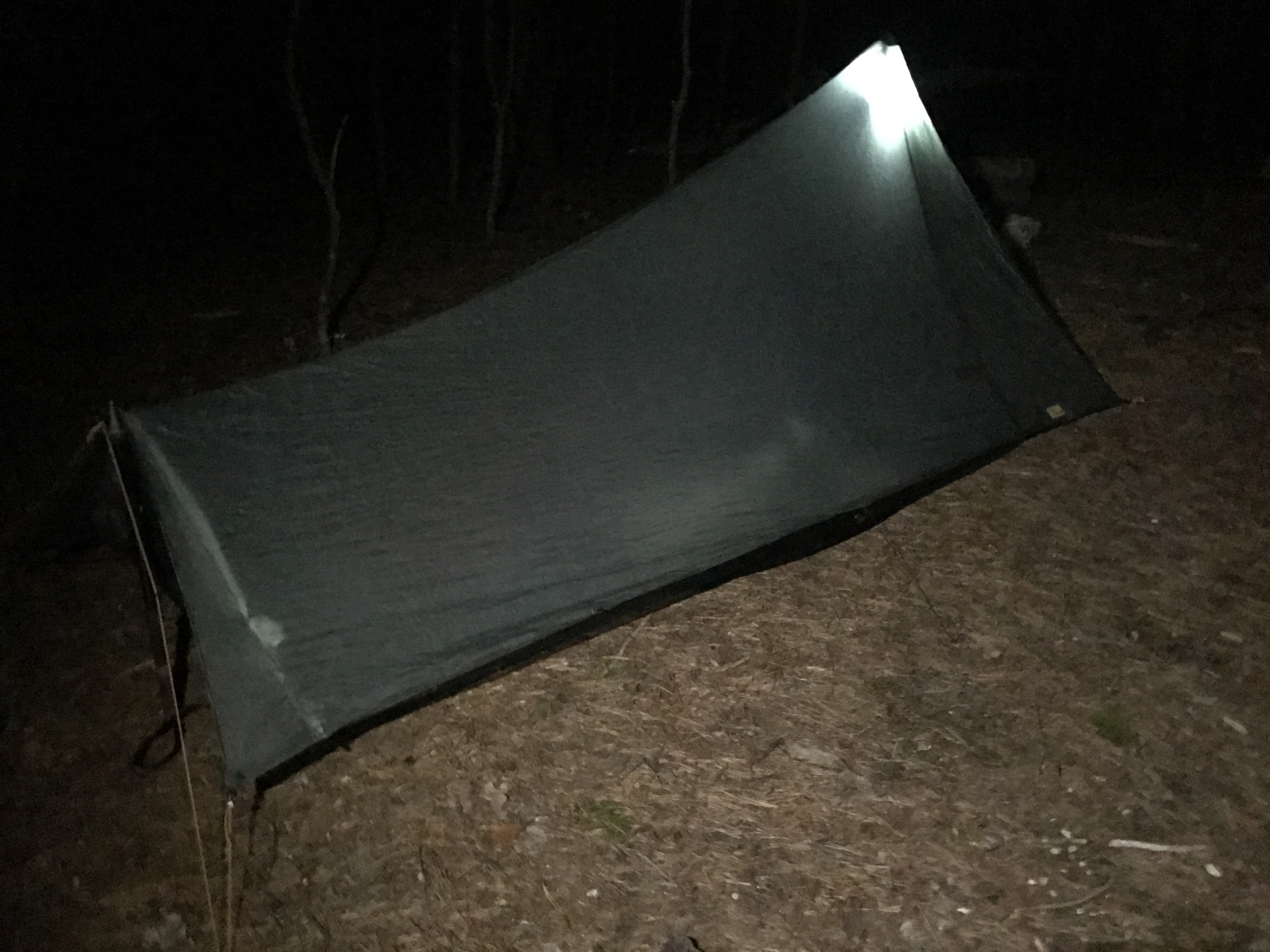
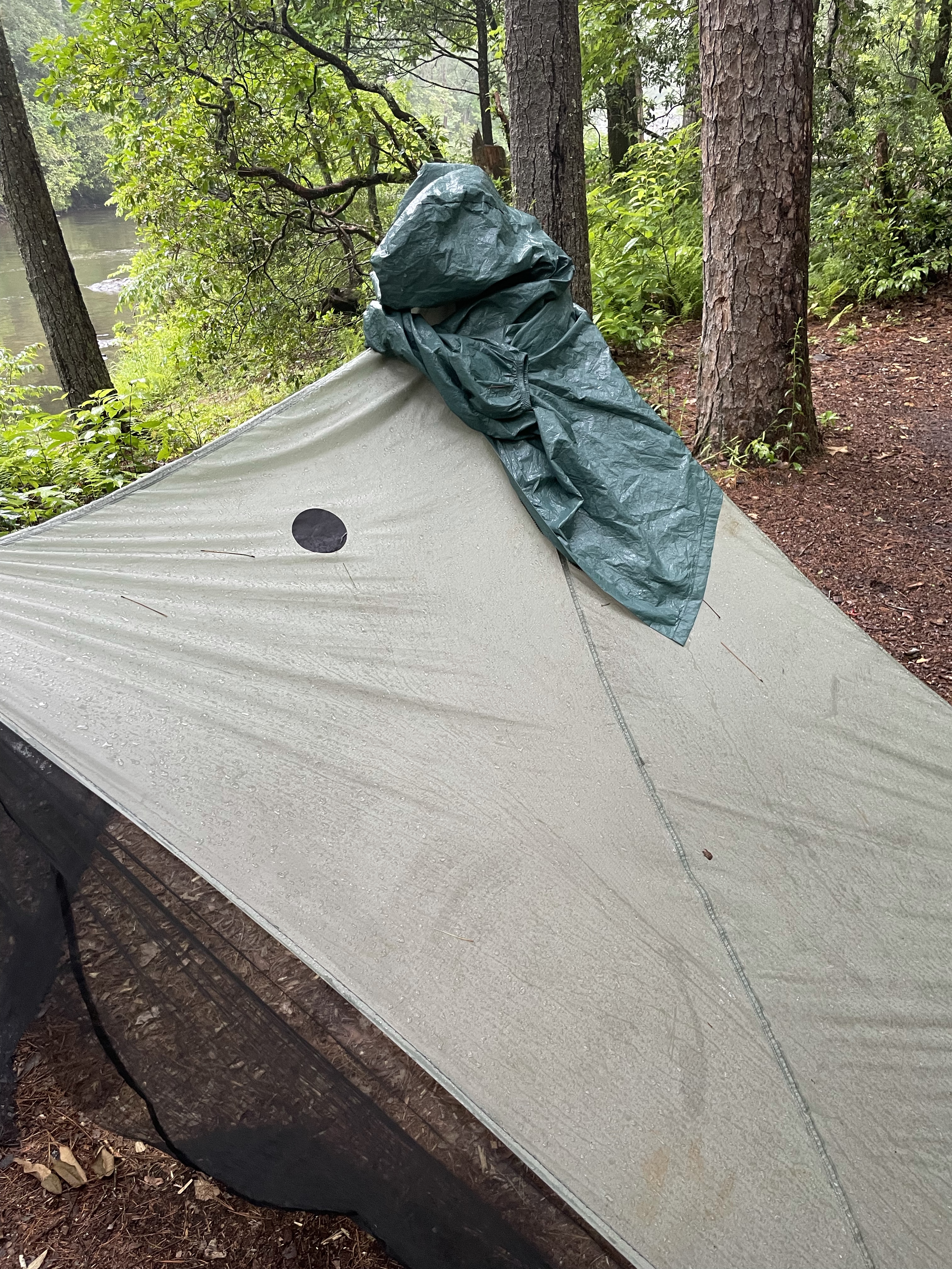
So we’re tucked in the tarp. I have it all tied down pretty snugly in anticipation of some rain tonight, so hopefully we stay dry! But that does mean it’s stuffy in here, and I’m the genius who put my shoes right by my head. Gross.
Miles: map says 17, watch says 19.7. Maybe I went further down that logging road than I thought!
MVP: snickers for dinner
LVP: tellicos chafed armpit
****
Day 4: Whitewater Campsite to Somewhere on the Chatooga
Obviously we survived the night. And obviously tellico got up first, and immediately went off to chase something in the brush. And obviously she was fine.
I didn’t have breakfast for either of us, so I gave her some banana chips and water with shredded coconut and coconut milk, threw everything in my pack (including her pack) and off we went.
We were very shortly in the Whitewater river corridor, and we happened upon an older man fairly soon. He was friendlyand we chatted about the trail and Taz and the AT and all sort of things. And after he walked away I realized that just his presence was trail magic — it meant someoneelse had already walked through the spiderwebs first!!


The trail was beautiful, and as we walked against the river it got wilder and louder. The trail, too, got rockier and rougher, which was fun in a “what a fun math problem” sort of way. Tellico ran ahead and crossed the long bridge across the river, balanced almost impossibly on top of a boulder, or so it seemed.


On the other side, however, a problem presented itself. There appeared to be two main paths off the bridge. The first was to hop from one Boulder to another across a 1-2’ gap, and then go down a wooden ladder. Obviously that would not be Tellico’s choice. The other path was to slide down a long rock and then catch yourself on another rock. Also not her first choice, but it was my first choice, because I will always choose to slide on my butt vs hop over a gap (as you may recall from Maine, we call this Beetling, after Beetle, who also always chose to butt slide).
So I slid down and tried to convince tellico to come to the edge of the rock so I could lift her down, but the trauma of falling into the river must have been fresh on her mind. She started to go back across the river (I guess she was just going to end her hike right there), so I took off my pack, climbed back up the rock, sat down, put her in my lap, and slid down with her. She wasn’t too happy about it but we did both survive. She immediately ran up the trail as if she’d never had an issue with it in the first place.
After some stairs, we came to what I could only assume was the spur trail to Upper Whitewater Falls. It was unmarked, but it seemed about the right place. I went on faith and took it.


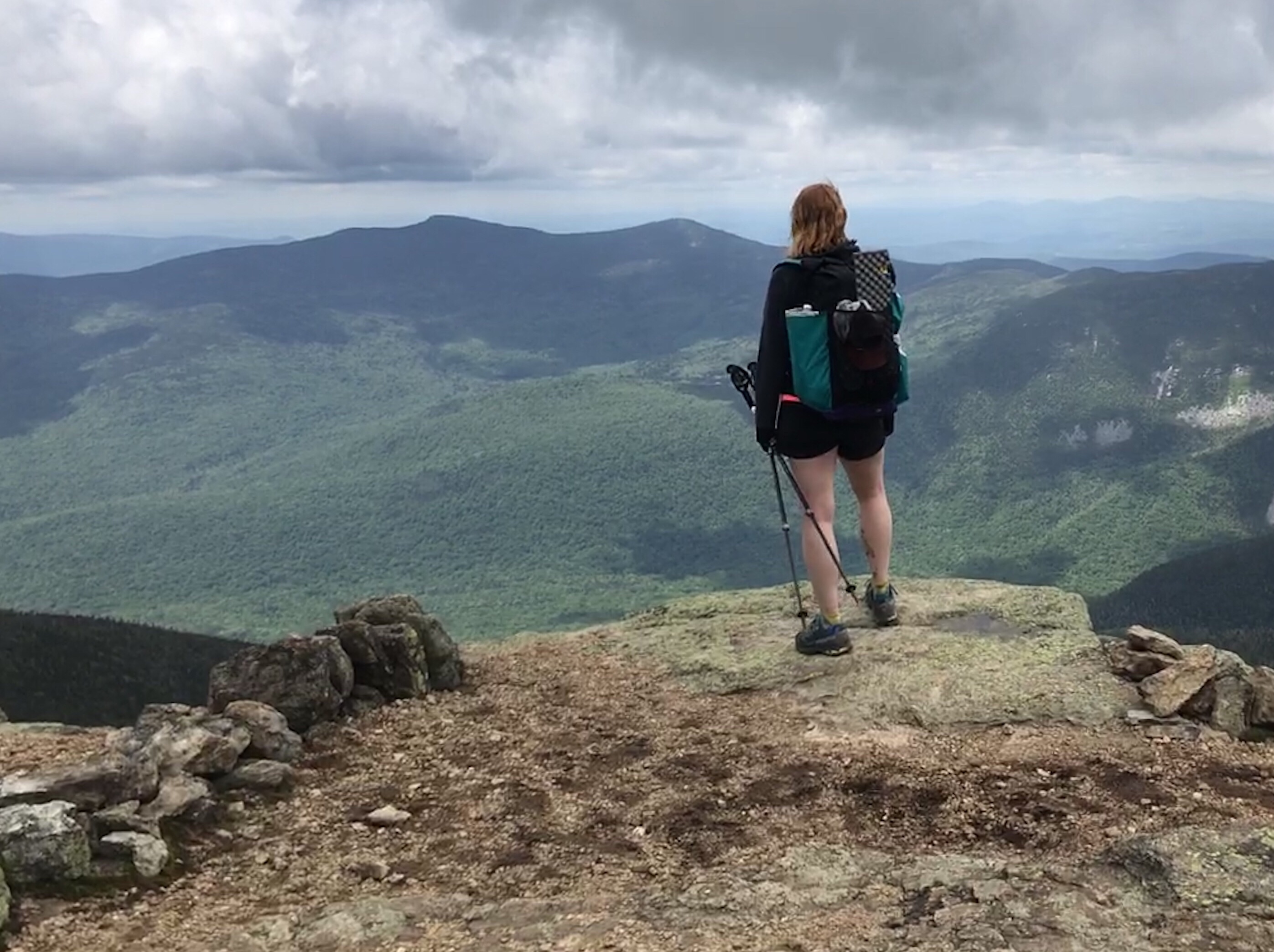
I saw some day hikers and a ton of stairs so I knew I was in the right place. Up and up we went to the observation deck. The falls were gorgeous and well worth the detour (and the stairs)! We snapped some pictures and then went up more stairs.


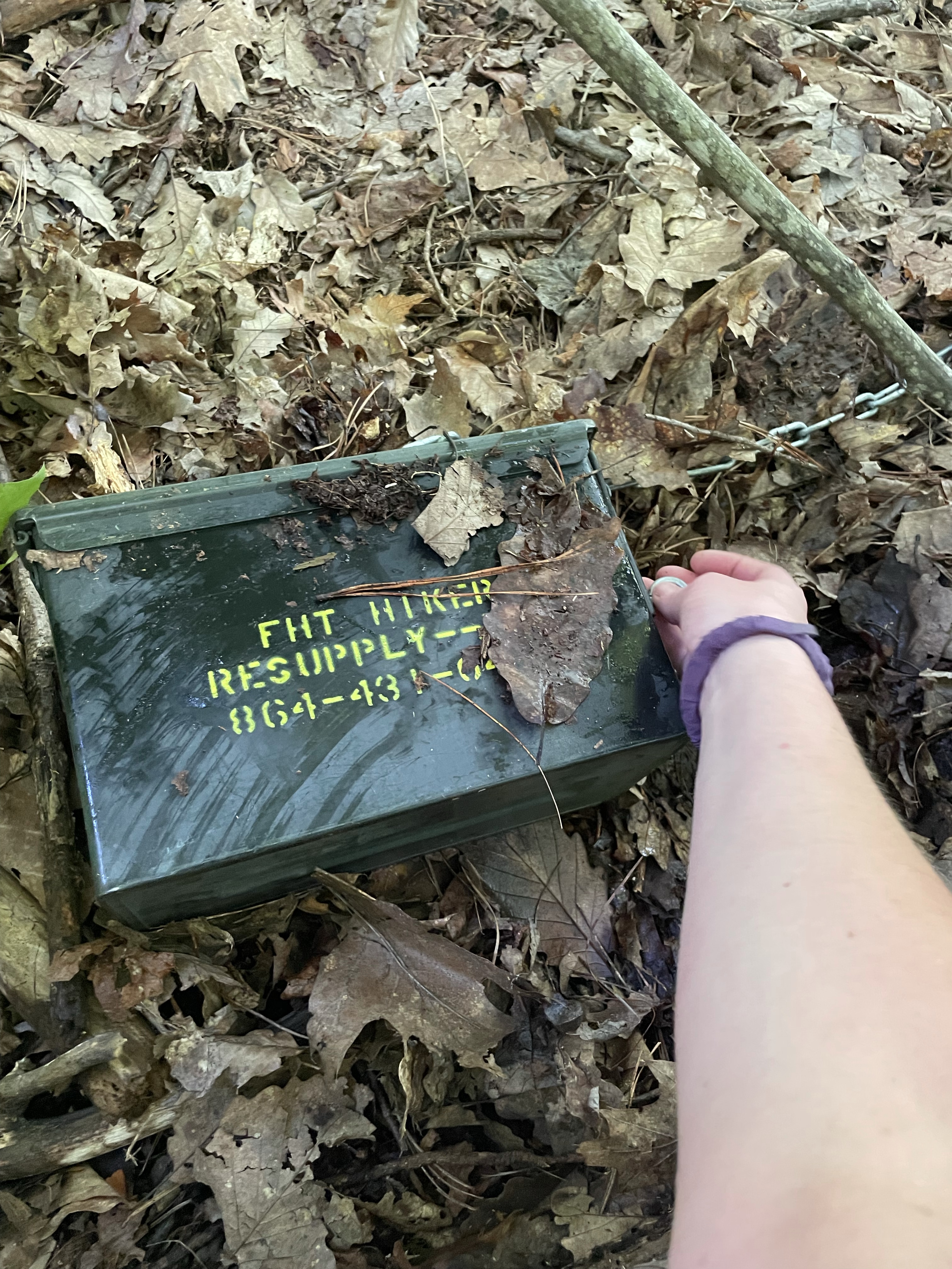
Taz had instructed me to just go up to the parking area, take the road down to the bathrooms and picnic area, walk down the road a short ways, and into another trail head. That’s were my food cache was hidden. After a brief stop in the bathroom to (of course) take a little sink bath, I sauntered off to find my food. Food located, we sat ourselves down in the parking lot and ate breakfast.


Next was a climb up some mountain. The map doesn’t seem to name any of them, so I can’t either. It wasn’t too bad though, especially after the logging roads of the day before. And really everything seems nice and easy when you’ve just had a sink bath and resupplies with 3 more snickers bars.

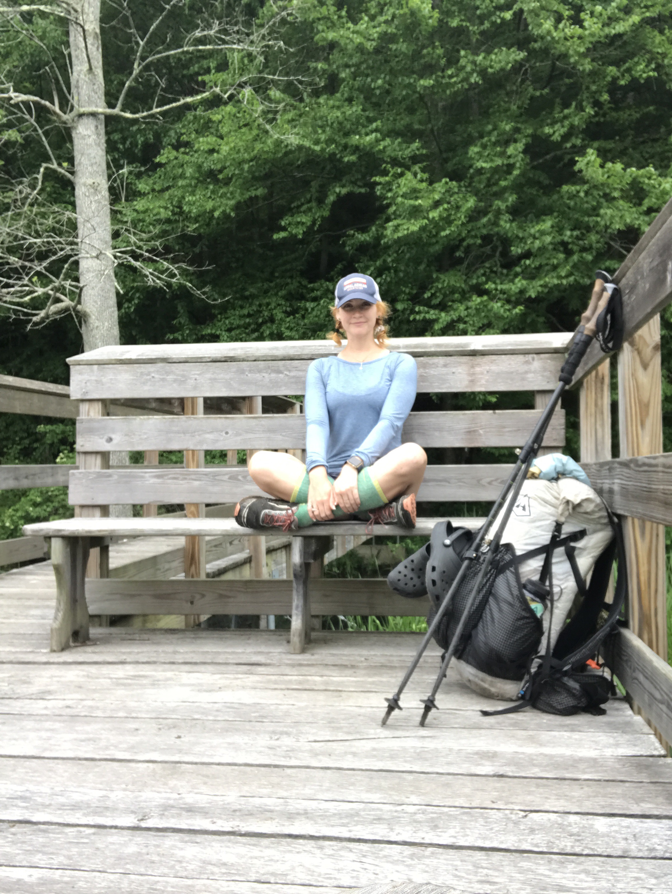
I decided that there was no reason to aim to be at camp before 5. The sun didn’t set until 9 pm, and the trail wasn’t busy enough that finding a good tensite was a challenge, so why hurry? We stopped at some benches at the top to enjoy the view and take a breather.
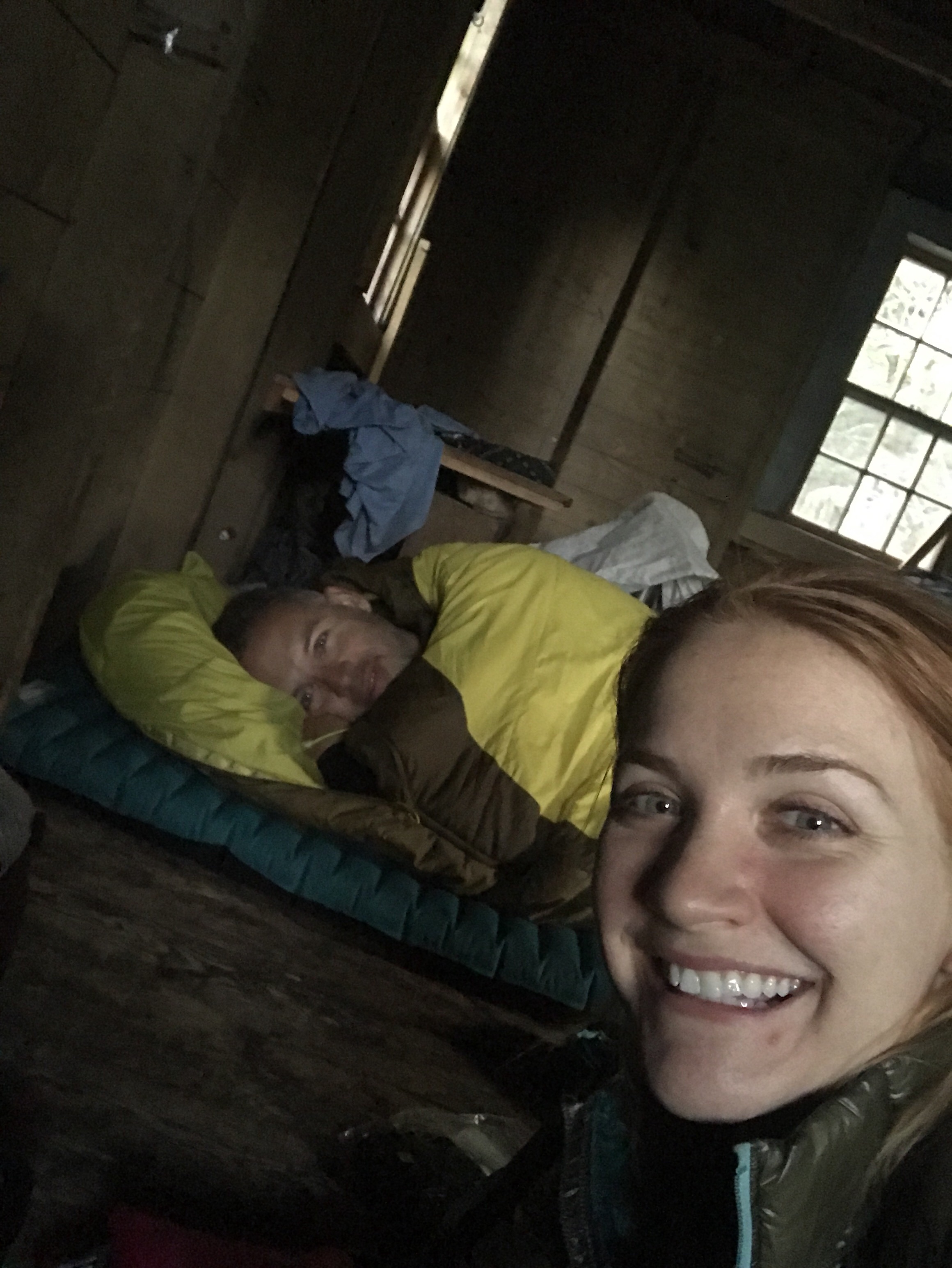
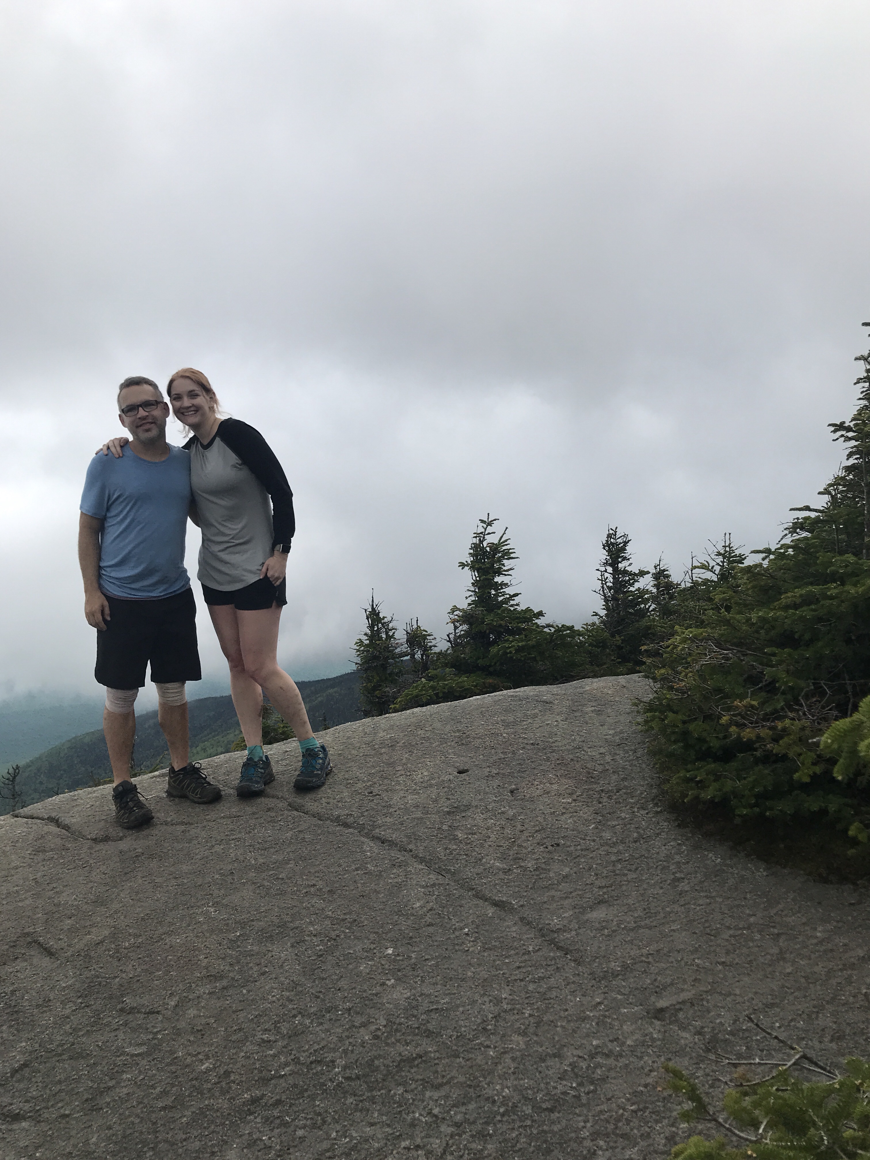
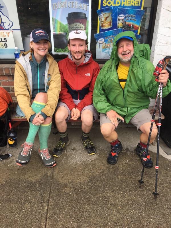
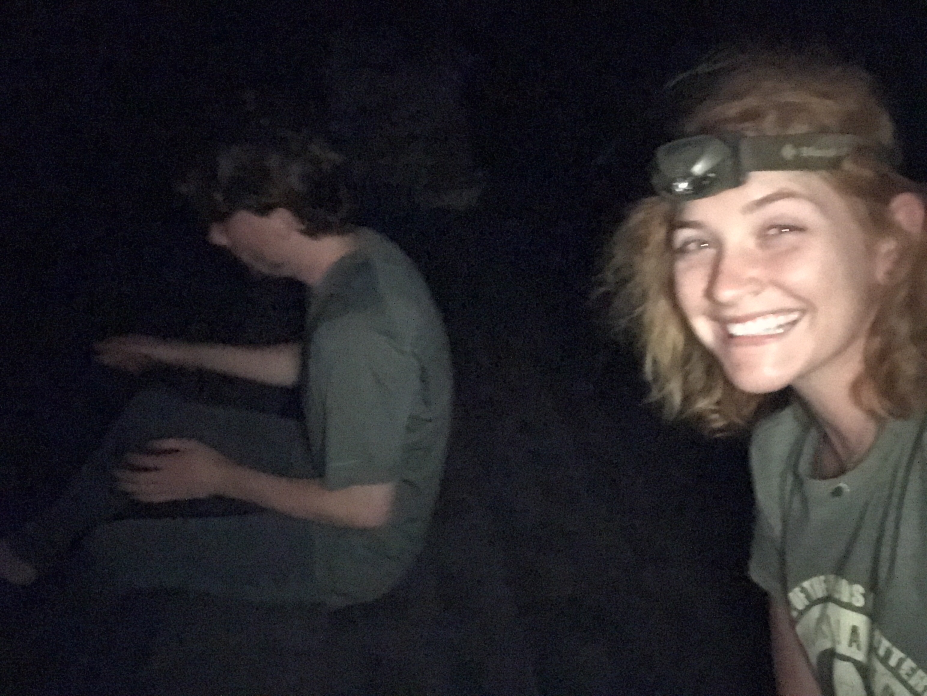
Another thru hiker stopped — we’d chatted briefly the day before and we caught up again here. Daniel was on his first backpacking trip, a shakedown to prepare for an AT Georgia section hike. We talked about the trail and what was coming up, and eventually Tellico and I headed off.
Honestly the trail was kind of boring, but at least it was fairly easy and we were going downhill again. The main goal in my mind was Fish Hatchery Road. I knew Taz had a trail magic cooler there, and I knew I’d hit it in about 5 miles. Dr Pepper and some ice cubes were all I could think about.


It was everything I needed and then some. We took a long break, I ate lunch, and then back on the trail we went. The section from the benches on the mountain all the way to Burrells Ford is really rather unremarkable and pretty dry, compared to the rest of the trail. There were some jungly parts I guess, mostly the 2ish miles before Fish Hatchery road, but again, it was too humid to want to be that close to so many plants.

We made a quick pit stop at the nastiest pit toilet I’ve ever seen at Burrells Ford, and then we were walking along the Chatooga. This section was so beautiful, and it was so tempting to just jump in the river and float down!


I had really only wanted to get past Burrells Ford, so as soon as we got to the river we started looking for a good tent site. I didn’t want to camp on sand though, so that was a little limiting. I couldn’t figure out how far I’d gone at all. The map was…. Not very descriptive. It would say “cross a footbridge” but there were be 3 or 4 footbridges and only one on the map. Or “cross a rocky area.” How many rocks are required to count as rocky?? I stopped at a sandy beach where two guys were camping and asked if they knew where I was. They were super helpful but ultimately it was a mystery. It turned out they both worked for Duke Power, though, and when one mentioned he used to work for TVA I asked if they were nukes. Yup!! They worked in turbine maintenance; I told them I was at southern nuclear, and we laughed about what a small world it was.
But due to my pickiness on tent sites, we ended up hiking another several miles. I (predictably) stopped for a foot soak and a face splash in the river before pressing on (and on and on). And around 6, I started seeing some good dirt sites on the river, but they were all occupied. I eventually saw a group of men and one tiny tent site off by itself, so I asked if they’d mind if I took it. They were very nice and said not at all, but mentioned there were a bunch more right through the woods if I wanted more privacy. I checked it out and boy were they right. I said thanks and we moved into our own huge camp site.
I think that this was Sims Field, around mile 11, which I’d only read about in a trip report from 2008. It’s not marked on the map, but if you’re hiking the trail and looking for a place to camp around mile 11, there you go. Tons of options.
I got tellico set up and immediately dunked myself into the river for a swim. It was chilly and glorious. I didn’t expect my clothes would fully dry, but I figured a fire was worth a shot anyways. The wood around was pretty picked over, but I managed a pretty good fire on sticks mostly the size of my thumb (and about as long!). I dried what I could but that wasn’t much. I ate dinner by headlamp and then set up my tarp and went to charge my phone.
Unfortunately my phone wouldn’t charge. My battery bank was dead. I took tellico and walked over to the group of guys and asked if I could borrow a charger. They said of course, plugged in my phone, and gave me a shot of tequila.
They were a group of engineers from Atlanta — one was in construction so I mentioned I’d been at Vogtle 3&4, and another had a friend who’d worked there. Small world! I got my phone to 24%, enough to get me to the end of the trail and snap a few pictures, but not enough to try to get service or listen to podcasts. The next day would be a real challenge for me.
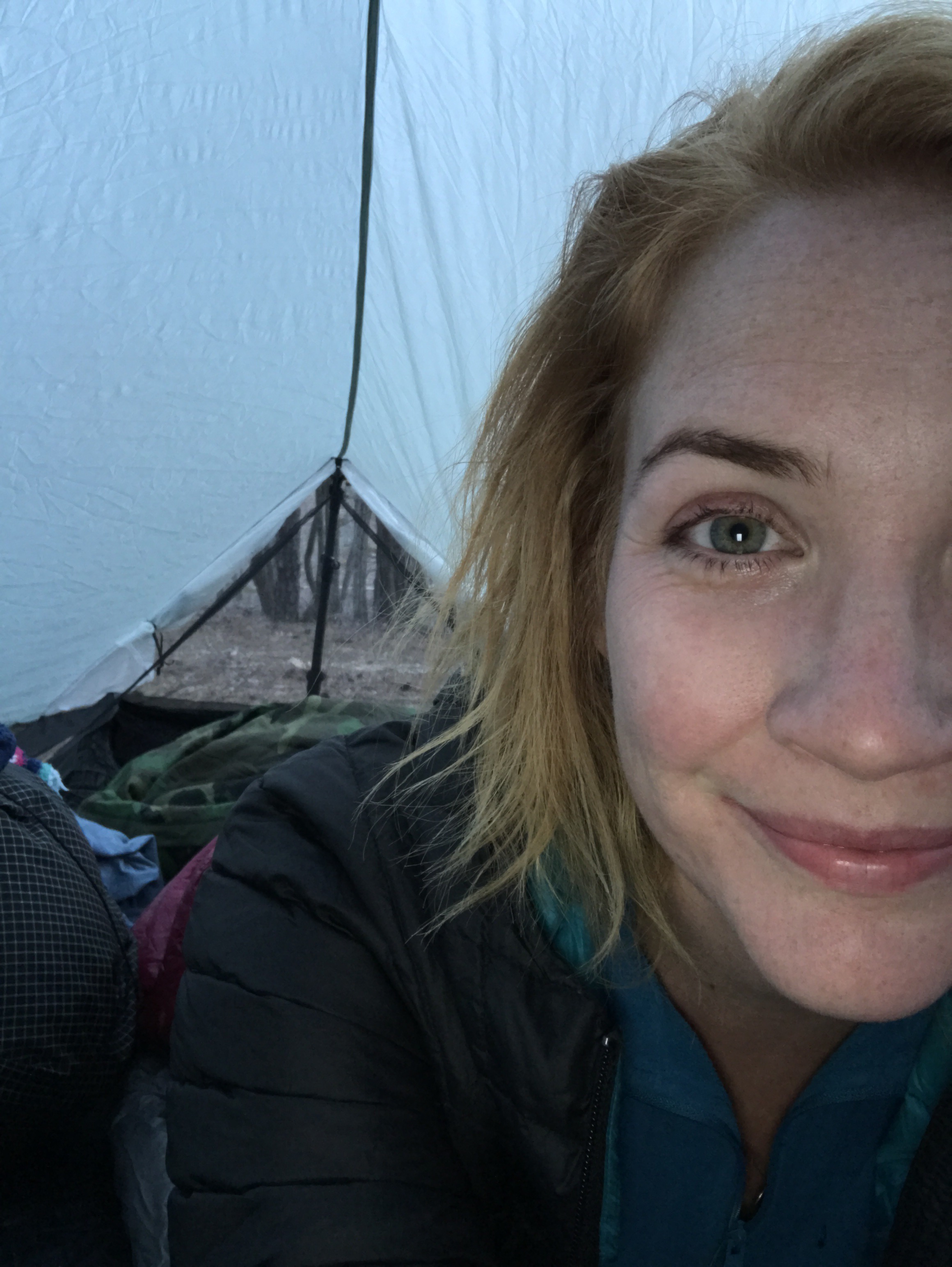
Tellico gratefully went to bed, and we snuggled up together. I thought there might be rain, so I put my rain jacket on top of my tarp to try and cover where I suspected the leak was. Happy, tired, and relatively clean, we went to sleep.
Miles: 22ish? Apple Watch says 24.
MVP: tequila! Snickers! Trail magic! Just a great day
LVP: the map.
*****
Day 5: mystery tent site to Oconee SP
The rain did come. And it came hard. I woke up to it and decided it was not worth getting up and hiking in. I suspected we only had 11 miles to go and there was no need to rush. My rain jacket idea worked really well, and I had no leaks from the tarp. I hadn’t been especially careful with the placement of my ground sheet though, so one of my quilts was wet and I got a little splash back from the rain hitting the ground. Oh well, it was warm and we were hiking out, it really didn’t matter.
The rain stopped, I fed my dog, and stuffed a snickers in my Fanny pack. I didn’t feel like eating breakfast, I was just ready to get hiking.

I don’t think I’d been hiking 5 minutes when I ran into Daniel, the thru hiker from the day before. He’d been camped a few miles behind me and started hiking at 6am. We decided to hike out together, which was a real lifesaver for me, as I had no phone battery to keep myself entertained.
We chatted on and on, and the trail was really pretty nice. A couple of climbs that weren’t too long or too steep, fairly mundane hiking that’s perfect for talking about gear or food or funny camping stories. The time passed quickly, and I was grateful for that!
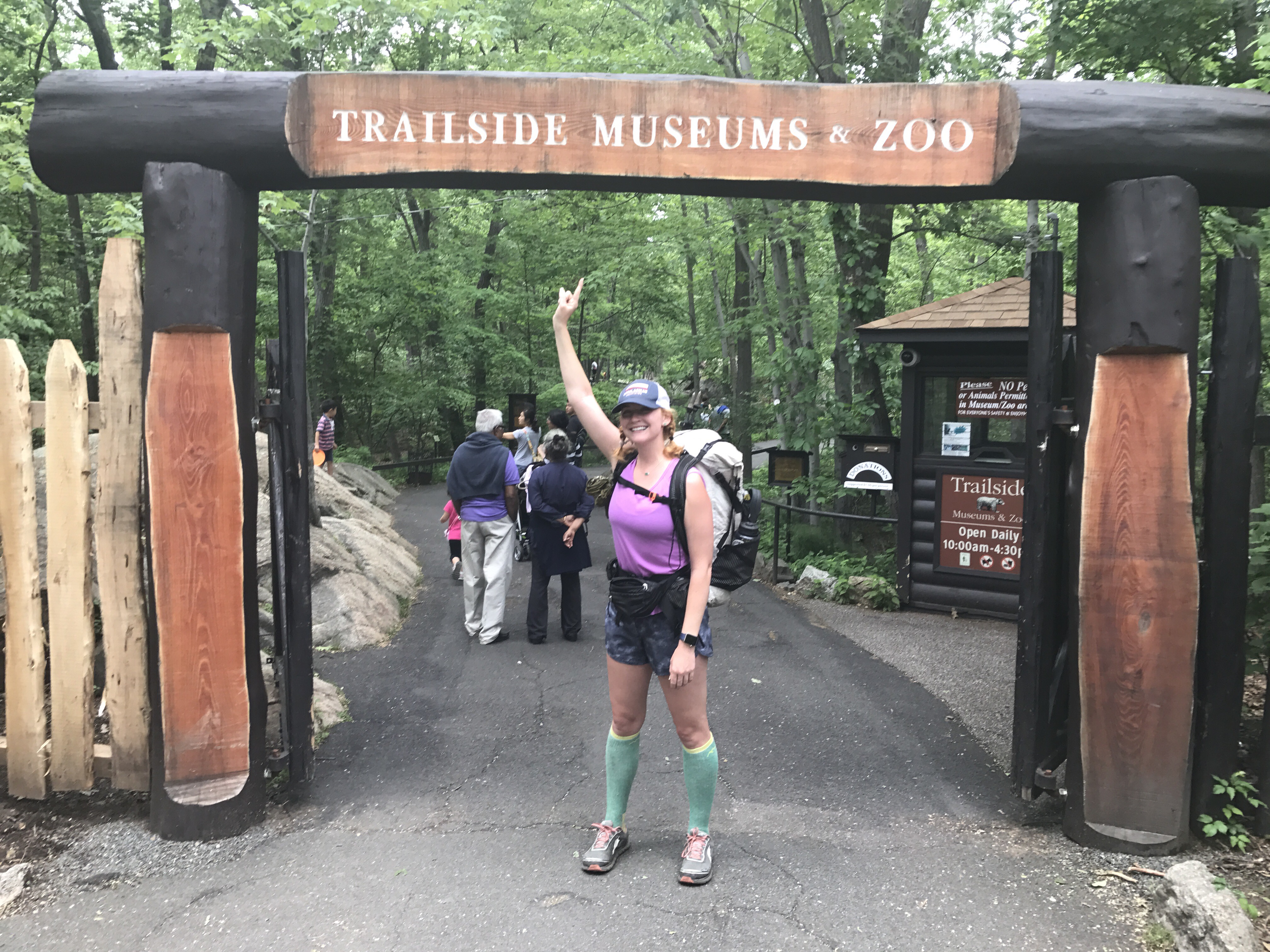
Maybe 2 miles from the end I decided to go for it. I wanted to see if I could get out in 30 minutes. I did! Tellico was getting hot and the day had definitely warmed up, so we ran straight to my car to turn the AC on and charge my phone. She drank a ton of water and then just reveled in the cool air. I said goodbye to Daniel when he finished, and then Tellico and I went back to grab a few pictures at the end of the trail. And that’s was it! 77ish miles on the Foothills Trail, all done. My dog and I were both officially thru hikers!


I’d absolutely recommend this as a great shakedown for AT hikers, or even new backpackers. It’s a fun trail, everyone I met was really friendly, there’s generally plenty of water, and shuttles are easy to schedule (and cheap!!). I’d be interested in hiking it during the fall, or maybe winter, just to see more views without the leaves blocking the way, but there’s so many streams and rivers it would be kind of a shame to not stop to swim in them. On the other hand, the bees.

Miles: 11ish
Trip Total: 76.2? 77? 80?
MVP: hiking buddy!
LVP: humidity ugh