5: Minerva Hinchley to Churchill Scott Shelter

I didn’t sleep great. Neither did Renaissance, the thru hiker in the shelter with me. Luckily we were the only ones in there, so we could stay up late talking. In the morning I was slow to get around, but I did, eventually, get around.

I stopped at Airport Overlook to call my older sister and talk to her about the situation, then I uploaded a blog post.


I went down down down, then ran into Carpenter. We chatted for a minute, and then I moved on. There was trail magic.


I went up up up just to get the exact same view. Awesome. I think there’s a lesson here.


There were rock walls


And beautiful forests


And I stopped for a break, trying to cool myself off. It was hot, and my skin was hot and I couldn’t get enough water. I wasn’t eating enough and I never quite fixed that issue all day.


I made it to cooper lodge, 16 miles…and kept going. I ran into carpenter several times all day. I’m not sure where he was planning on going. We talked for a bit when I intended to eat lunch (I didn’t eat lunch; I filtered water, talked, and then left). I’m not angry about this situation, as I do love to hike alone, but it has been emotionally draining.
I was slowing down, hungry and tired and thirsty, but eventually I made it to Churchill Scott shelter. Renaissance was here, and Cinder and Snacks, two SOBOs. A section hiker came in late, asking if one of us had been hiking with a man named carpenter. Oh lord, give me patience if this continues for the rest of Vermont.


I had a hard time sleeping. I was crammed in against the wall, I didn’t really eat dinner because I was too lazy to get water, I need a 2 hour yoga session, and someone was snoring really loudly. How many Benadryl can I take without overdosing? Also mosquito bites. I have a lot now.
But I’m only 1.2 miles from the bus stop for Rutland, so I think I’ll go in there and resupply today, do some laundry, maybe take a shower. 48 miles left in Vermont!! And then…then I think I might flip down to Bennington so that I can actually FINISH this state, and head south into Massachusetts. I can see my friend Maureen in Great Barrington, finish that state all the way (finishing New Hampshire wasn’t in Carpenter’s plan, and having 15 miles unfinished in two states was going to kill me)….I won’t see the whites on this trip, but I will get to hike my own hike.
There are, perhaps, (most likely), many things I should apologize for that I haven’t. But in this case, having stated what my intentions were and having not been understood, well…I can be sorry that it happened, but I can’t really do anything about it. Frankly, I think the whole thing has gotten out of hand.
I have many failings, and I hope you won’t think less of me for this. I’m sure I’ll look back on this in years to come and wish I’d acted differently. Or maybe I’ll be proud of myself for sticking up for myself, for asking for what I needed and wanted and not compromising and bending over backward. Only time will tell.
Miles: 18.4

Trip total: 78.3

MVP: sour gummy worms

LVP: left foot

4: Peru peak shelter to Minerva Hinchley Shelter

Carpenter woke me up, which I suppose set the stage for a not super great day. I like to wake myself up.
I didn’t sleep well, too. I feel like six hours of yoga wouldn’t be enough time to stretch.
But nonetheless, I got up and ate and we headed out, with me stopping to get water.


The day had more bog boards, with the fog and mist giving it all a creepy vibe.


And soon I came to Styles (?) peak. It was a bit of a scramble. Here are some action shots.


Just over, I ran into Carpenter. We chatted for a second, then hiked on. We both stopped at the next shelter for another delicious sandwich lunch, joined by an adventurous squirrel.


And after lunch, the sun came out. Oh blessed day!! Everything was green and bright.


At a road crossing, I stopped to talk to a Forest Service guy named Bill. He knew Hugh from the Firetower, too. I asked if he knew any good interesting bits about the section we were in now, and he told me to look for very dark, almost black soil; that was from the charcoal industry in the 1800s. I missed it. He also told me that Little Rock pond had been mined by Native American tribes for centuries and that when they were building the shelter there, and archaeologist had been on site and found a point there that dated back 10,000 years. Amazing.
So when I got to Little Rock Pond, I sat in the sun and thought about all of the people who had been here at this water. Had they sat in the sun and wondered where their lives were going? Were they worried about what was going to come next? Or were they just happy to have sun? Did they watch the minnows and tiny dinosaur lizards swim?


Ten thousand years is a lot of people.
I rinsed out socks and hiked on.
I was shocked when I came upon the rock cairns. I heard voices but didn’t know who it was. And the formations took me aback. The voices were Radar, Points, and Moses. They were hiking a small section and they were fun. They took my picture and we chatted for a second, and then I took off. I was a little slow today.


But there were more. These took my breath away and stopped me dead in my tracks.


I sat down on the ground and drank some water, wondering about all of the people who had placed rocks there. Did I know them? Invariably, I knew some of them.


I placed a rock or two myself, so that if you ever went, you can say that you knew someone who placed a few rocks.


I raced downhill for a few miles, passed some sweaty Boy Scouts struggling uphill. I took a wrong turn and had to struggle back uphill myself. Whoops.
3.6 miles to go, and I found Carpenter at the side of the trail, setting up his tent. He didn’t feel like going to the shelter, or perhaps he didn’t feel like hiking with me anymore. Different expectations and a failure to communicate.
I won’t lie, I had a bit of a cry somewhere on a rock within those 3.6 miles. It was quite a stiff uphill and I was hungry and thirsty.
So now I’m hiking my own hike and figuring it out.
I got to the shelter and it was empty. A thruhiker, just back on the trail after a few weeks off to heal a broken foot (stress fracture) was just behind me, so we took the shelter while a bunch of Quakers camped around. We chatted quite a bit and had a very pleasant evening. Renaissance, his name is. For such a change in plans, I’m absolutely all right. Mom, don’t freak out when you read this.
So tomorrow I’m going to do 16 I think, to a shelter on top of a huge hill that’s not in great shape but then neither am I 🙂
And then the next day I’ll have 10 down in to killington for food and then back on the trail. Not bad!


Miles: 19.6

Trip total: 59.8

MVP: empty shelter

LVP: last 3.6 miles?

3: William Douglas shelter to Peru peak shelter

I woke up when someone nearly stepped on my head. It’s a risk you take when you sleep on the floor of a shelter instead of pitching your tent. 
I didn’t get up though. I curled up smaller to make a pathway and kept sleeping.
I eventually got up and ate, having a nice chat with Kiwi, a guy doing a LASH, and walked to the privy…and stepped in someone’s poop. Good grief, the things I endure. After I cleaned that off we hit the trail.
There was more rain, but it was only 6 miles to Manchester Center, our first town stop. On the way we ran into Splinter, a girl carpenter had hiked with in the Whites last week. She’s headed SOBO, so we had a bit of a chat and then moved on to try to hitch a ride into town.
And friends, it was my first time hitching a ride. We scoped out a good place to thumb (you need to be visible to cars a ways off, and they need to have room to pull over) and stuck out our thumbs.


Within a few minutes we had a ride. Several hikers up the road who had been out there before us were still left luckless; I felt smug.
Our ride was a very good looking young mountain biker who drove us all the way into Manchester Center and told us all the good places to eat and even gave us the low down on some of the shelters up ahead on the trail. He was a wealth of information.
Me in the back of the good looking bike rider’s car

He dropped us off with a million-watt smile and we stopped in to check out an outfitter, then wandered around town for a minute.
Despite all the great lunch choices, we ended up…

At McDonald’s.
We loaded up on groceries afterwards (we actually only needed junk food because carpenter packed too healthily and I was dying for chocolate and sour gummy worms) and stopped at a bakery for a fresh load of bread.
This is probably where I truly fell in love with Vermont. The whole experience of Manchester Center was amazing, but this bakery smelled like yeast and rich people. Everyone seemed to know each other. Everyone had on Birkenstocks and bought tea and Sunkist. Everyone was beautiful, especially the old people.


Ugh, Vermont.


We walked out of town a little bit and started thumbing for a ride back. Several people pulled over and said they were going part ways, but we held out for someone going all the way. What was most amazing was the mix of people who offered rides. A nice looking woman in her 60s; a young man. Finally a young woman pulled over and said she was going part way and we took her up on it and figured we’d walk the rest of the way or hitch another ride.


Once we got in, she asked our names; I told her I was Birthday Girl on the trail. She said since it was my birthday she’d drive us all the way. She was sweet and funny and I liked her a lot.
We got back on and wow were our packs heavy with food. It made the 10 miles to Peru Peak shelter absolutely miserable for me. Also it rained quite a bit.


I did get a chance to Ski Vermont though.


The climb up Styles Peak /Mad Tom Notch was catastrophic on my morale. I made a mental note to remember how I felt and the fact that I eventually made it for the next time I have no motivation to climb a mountain.
I stopped to see a vista. Great view. (Autocorrect said gray. Also correct?)


So…what goes up


Must come down


And eventually I checked to see how close I was to the shelter (Peru Peak Shelter). I guessed 1.5 miles. turns out it was only .4, so I started singing this ABSURD song about “half a mile to go, I’m gonna get there and eat a sandwich and put on dry socks and text stormtrooper and I hope no one can heeaarr me!” And before I knew it, I was there!
There are 7 of us here tonight, a mix of NOBOs and SOBOs. One SOBO, samurai blue, lives near the trail in southern Pennsylvania; we exchanged numbers so that I can do some trail magic for him when he comes through Tennessee and I can let him know when I go through his area. He’s done trail magic for a while and now he’s finally getting to through hike. He reminds me of Fresh Ground. Both great guys who have been dedicated to the trail; I think they’ll find that their dedication is returned to them on their hikes.
I had my sandwich for dinner, and my dry socks (I did not eat them, I put them on my feet), and also a cookie, because I needed junk food,and now I am tucked in bed warm and dry with a brook babbling (chatting, running its mouth) right in front of the shelter. The rain is falling off trees onto the shelter roof with the wind, and I am tucked snugly between warm bodies with gentle snores to lull me to sleep.


My entire body hurts and I smell like I’m molding, but I can’t imagine anywhere I’d rather be.
Miles:15.9

Trip total: 50.2

MVP: subway sandwich that I carried 10 miles

LVP: stormtrooper is 3 days behind me 😦

2: Goddard shelter to William Douglas Shelter

Rain.
Is it effective if I write this in the style of Oregon Trail?
I woke up to rain on the roof of the shelter. I turned over and slept some more.


Eventually I got up. I headed out before Carpenter into the wet morning. The Firetower was first. I climbed it, because I could. I enjoyed the clouds.


I kept walking. There wasn’t much remarkable about the trail. It was nice, in a generic sort of way. It was green, the way all of the trail is right now. It was muddy and wet, the way Vermont is supposed to be, but really no more so than Tennessee or North Carolina right now.


That’s not to say that the mud didn’t get me. The mud certainly got me.


I hiked alone most of the day and enjoyed the time to think and reflect on life and friends and rocks and god knows what else. I met back up with Carpenter at lunch, where I enjoyed an absolutely delicious turkey and cheese sandwich. THAT will be a staple for my trips.


We were shooting for Stratton Pond shelter. We stopped at a Firetower just before there for a snack and while we were sitting, the caretaker came out. Hugh, as it turned out, had been the caretaker there for 48 years, off and on. He was the fire lookout back when they still had that, too. He was an absolute treasure. He told us that 14 people had gone missing in the Glastonbury wilderness, the area we’d just come through. The last one, in the 40s, I think, was the reason the Vermont state police were formed (I think I got that right!).


Anyways, we spent a good deal of time chatting with him. It’s not just the hikers that you meet; its people like Hugh who make the trail so interesting and incredible. He also said Benton MacKaye, who first came up with the idea for the AT, conceived it as a way to bring northerners and southerners together after the civil war.
I don’t know how effective that was, but I think it did work as a way to bring people from varied backgrounds together. Can you imagine me and Carpenter ever meeting? I mean, he lives in New Hampshire. Or me and Tinkerbell, who is such a treasure and inspiration to me.
Anyways, another thing to think about.


We hiked on to the shelter, but unfortunately it was beyond full. So we made a call to hike another 5 miles to a shelter .5 off the trail, hoping most people would be too lazy to go there.


We were…sort of correct. It was full, but there was room on the floor. So I’m on the floor about to pass out.
Miles: 25

MVP: dry clothes

LVP: so hungry

1: BHM to Bennington to Goddard Shelter

It’s been a busy summer. The last week, especially, has been a whirlwind of packing my apartment in Georgia, finishing up work, preparing for a conference in North Carolina the day my hike ends, and getting ready, of course, for the hike.
Oh, and giving a presentation on the work I’ve done this summer in order to hopefully secure a job. NBD.
So, I did all of that, because I had no other option. And on Thursday I turned in my badge and started hike preparations in earnest.
No woman is an island, and I could not have done all of this without my parents. My mom helped me shop for the conference and pack and take care of all of the little errands that have to be done in order to disappear for three weeks. Or more, really, because the conference comes directly after and then classes have already started while I’m at the conference…
I spent Friday morning with my nephew, playing Legos. “Look at my house, H!”
“Don’t you mean *our* house?”


The packing and errands and etc began in earnest once he left. My mom drove me to the airport and I gave her a hug, promising to keep her updated.
I weighed my pack as I checked in. 14 pounds with no food or water but including my hiking poles.
It’s funny– I stress constantly about every little thing. Work, school, traffic. But you give me a flight or a trip like this and I’m cool as can be. I mitigated my TSA risk by preparing an alternative plan in case they made me check my poles and tent stakes, and got to the airport early, but flying just doesn’t stress me out anymore. Thanks, French degree.


I did make it through TSA, with no questions asked. Go figure. My first flight was delayed but I didn’t worry about making my connection. I could walk fast.
When I boarded, I chose a seat near the front between two dudes, so I could deplane quickly and make my connecting flight. We talked the entire time. One guy asked for a trail name. I named him Tiny Truck. He gave me his number so he could bring me trail magic when I hike through Maryland. Either that or he was hitting on me. I’m not sure. Maybe both! ¯\_(ツ)_/¯
I hoofed it to my connecting flight and made it right as boarding began. I’m very good at walking.
I slept in weird positions the entire flight.
Carpenter and his sister Susan picked me up at the airport. It was so good to see him again!! The drive to Susan’s house was exactly what I hoped it would be–a tiny little New England town.
Sleeping in the most comfortable bed I’ve ever been in, I kept expecting Charles Wallace to be downstairs heating milk. He wasn’t.


But in the morning, Susan was downstairs cooking blueberry pancakes with the best blueberries and maples syrup I’ve ever had in my life. They were delicious.
We packed food and bags and eventually we were ready. I had a 23 lb pack; carpenter was at 25 lbs.


Susan took us to her daughter Sarah, who drove us out to her husband Sean, who drove us to Bennington, VT, where we started our hike. Well, first we stopped at the post office, where Carpenter mailed our first mail drop with food for us.

The trail was …a good first day. Some uphills, so my muscles knew what was up, and some flats, so I wasn’t too pooped.


And here’s some Indian Pipe for Stewart.


We made it 10 miles to the shelter at about 7:30. I was ready for bed already. After several weeks of networking and talking and chatting, I was ready for some time alone and to be quiet. I ate a quick small dinner and got in bed.
Day 1: complete.
MVP: bed

LVP: pack too heavy

Miles: 10.1

Then Again: 19E to Dennis Cove to 19E

It’s been one year since I called up Stewart and asked him to teach me how to backpack. One year since my first hot, humid, miserable trip on the Cumberland trail. On that trip, I struggled and huffed and crawled my way inch by inch up the trail, trying to do 8 miles in a day. My pack was heavy and my feet hurt and when I finished I thought, “well, I think I like backpacking, but I really don’t know.” 
And as you know, I went on another trip with Stewart in the Smokies a few months later. My pack was stupid light, because I had a summer weight sleeping bag for freezing temperatures, but I fell in love. And that was where I first set foot on the AT, and met a woman at a shelter who asked me how I liked backpacking. “I love it,” I replied. 


“You could hike the Georgia section of the AT,” she said,” but I’d do it southbound.” We sat in front of the fire and went through her guidebook, going over elevations and possible supply points. 

And the thought stuck with me and grew into 130 miles from Tellico Gap, NC to Springer Mountain, by myself, in January. And the people I met there, Carpenter and yes, even Gonzo, as much as I sort of hate to admit it now, have shaped me into the hiker, the listener, the friend, the woman, the person I am now. 


So of course I had to plan a trip with Stewart on the one year anniversary of our first trip. That’s where it all started. We’ve gone in different directions since then: I love the AT and the towns and people and structure. He loves the wilderness areas like Cohutta. But for this trip, I asked him to join me on the AT for a section filled with water and streams that I thought he would enjoy. 
The plan was for me to park my car at 19E on Thursday night. I’d camp there, and Friday I’d hike NOBO 25 miles to Dennis Cove. I’d meet Stewart there that evening and we’d night hike to a tent site. Saturday we’d hike 16-20 miles SOBO, then finish up at 19E and my car on Sunday. I’d be doing a long out and back of about 50 miles. Stewart would be hiking 25 miles total. 
It started out fine. I got to 19E, parked, set up my tent, and went to sleep (for a while; I’ve got to quit camping by 19E. It’s too loud!). 


In the morning, I woke up to a slightly wet tent and started my hike. It felt good to have so many miles in front of me. I hit a blowdown early on, and clambered over it. 


The day was overcast, but that didn’t stop me from raiding the blackberry bushes when I got to the top of the meadow. They were just ripening, and I let the tartness burst in my mouth. 


This meadow had been so special to me when I came through here before. I had done 74 miles in 3 days. Two long days of 27 miles, and then 20 miles on the last. When I hit this meadow, I remember my feet hurting and my pace slackening. I came to the break in the trees at golden hour, with the light bursting through the clouds and on to my face. I’ll never forget that feeling. 


I walked on. 


At Sugar Hollow I met Jack. Jack didn’t have a name yet, but he came right up to me. He followed me down to a water source after I gave him a bit of a fuss, and there I gave him some of my beef jerky. He was so small and skinny. He gobbled it up, nipping my fingers. 


I thought he would stay there. I did. But I started to walk on, and…he followed me. His little kitten legs couldn’t keep up, so eventually we worked out a system. 


Jack and I stopped for lunch at Mountaineer Falls shelter. Jack ate some more jerky and had some water out of my cup, and then he promptly fell asleep in my lap. 


After a nice break, we packed up and headed out again. Jack cleaned himself up on my pack, then took another nap. 


After a mile or so, jack decided he’d gone far enough. He hopped down and settled himself in the pine straw. I gave him some beef jerky to go and hiked on. 
The miles slipped by. I stopped to dry my tent in the sun for a few minutes (and eat). I sat at Moreland Gap shelter when I heard thunder but nothing came of it, so I headed out. I was trying to time my hike so that I would get to Dennis Cove around 8:30, but it appeared I’d get there a little early. 


And then, wouldn’t you know, things changed. 
I was just on top of a ridge when the rain hit. I thought I’d hike on because my rain jacket is mostly wetted out now and not really effective, but then the skies opened up. And then the wind came. 
I ran to a rock with a decent overhang and pulled out my rain jacket. The wind picked up and the trees were all pulling down towards me. I scooted further under the rock. I turned my phone on and had LTE, so I sent a text to Gambit. 
Me: I’m 4.5 miles south of Dennis Cove. I need you to check the weather. 

Gambit: I’m on it. 
He called me minutes later. “Lindsey, you need to run. There’s a hostel at Dennis Cove. I know you can do 3 miles per hour the whole way there. Just get to Dennis Cove and go to Kincora Hostel.”

“Gambit, I don’t think you understand what these trees look like right now. I’m afraid they’re going to fall on me.”

“I’m looking at the weather and I can’t guarantee you’ll get a break. If you hear a cracking sound, look behind you, up the trail, and run. 15 seconds is enough time to get you out of the way of a tree.”
We hung up and I strapped everything down, then left the safety of my rock. The wind was intense, the rain washed the salt off my face and into my eyes, but I trusted my legs and ran down the trail. There were trees down already, giant trees with limbs and braches and leaves that slowed my progress. One tree had tipped over and taken rocks with it, leaving a deep gaping hole in the trail. The storm quieted, giving me time to sprint across flatter sections of trail. 


Of course, when I came to an open meadow with standing water on the trail, lightning struck, with three close booms of thunder that cracked something. 
But I made it to Dennis Cove in the damp, humid aftermath of the storm. 4.7 miles in an hour and a half. I walked the .5 miles to Kincora, but found a large branch had fallen on the hostel at some point and there was no electricity. After some hemming and hawing, I decided to hike back to the other hostel and try my luck there. 


Another mile or so on the road and I was at Black Bear resort just as dark was settling in. I had seen trees down in most yards, and electric lines dangerously low. I suspected there wouldn’t be power here either. 

Sure enough, the owner ran out with a head lamp on, but offered me a bed in the bunk house, where there were a few other hikers staying. I asked for a working phone, since there was no cell phone reception, and left Stewart a voicemail. Hopefully he’d find the place; if not, we’d meet up in the morning, I guess. I started the long business of drying off and trying to hydrate. I didn’t eat dinner. 

The other hikers were…not thruhikers. I suppose they were LASHers. They knew love and ditto and hazmat. I’m not certain how much longer they were going to stay on the trail, but I liked them all a lot. 

I fell asleep waiting for Stewart. 
He woke me up at midnight. The roads had been difficult to navigate with downed trees, but he had gotten my message. We chatted for a minute, then went to sleep. 
MVP: Rock or Jack

LVP: hole in the trail

Miles: 25

*****
In the morning, we all woke up to the sound of four wheelers. The hostel owner’s kids were driving around picking up branches and limbs and being generally incredibly industrious for 9 year olds. I suppose I would be too if I got to drive a four wheeler. 

The water was an issue. I guess the hostel had pumps or wells for water, so the toilets didn’t work. Enter Ms Mechanical Engineering Student over here; I told a lasher who needed to make a woodland deposit to grab a bucket of water from the stream and pour it into the toilet after he was done; that would flush the toilet. Everyone was SO impressed and the hostel provided buckets for the toilets. Killing it. 

Stewart and I headed out (I got everyone No Electricity discounts, too) and finally, finally started hiking at 10. Good grief Charlie Brown. 
So here are some things we saw:
Great views


The rock I hid under

Big blowdowns 


Random park bench (I love this bench)


I treed a bear cub!! His brother ran down the hill but this little guy went up the tree. I saw mama bear a mile down the trail. She was NOT expecting me and ran out of a tree and down the hill when I was about 25 feet away. Scared us both. Bears are so funny. 


Finally, stopped at Mountaineer Falls shelter. We had dinner and chatted and went to bed, just us in the shelter. 


Until 10:30, when I was roused from a deep sleep by a night hiker. Who had no manners. 
I glared in the dark and went back to sleep. 
MVP: Bears!

LVP: night hiker

Miles: 16
*****

We woke up Sunday and I had no compunctions about waking up the night hiker too. Besides, it was 7:30 already. 
She was a lasher, and she didn’t apologize or act at all abashed for having come in late. 

She was also not great at directions. 
“We’re hiking south. We came from Dennis Cove, 16 miles North of here,” we told her. 

“So did y’all have to hike over that huge tree in the trail that’s like south of here?” 

…. We looked at her, and then I patiently explained cardinal directions. 

“I can’t figure out why there are so many trees and limbs on the trail. I guess it’s like maintainers are like…not doing anything. It’s crazy. Hey did you guys here that crazy storm yesterday? I kept hearing all these trees cracking.” 

I stared at her. 

Perhaps that explains Stewart’s face in this picture, which she took as we left the shelter. He didn’t have much confidence in her ability to take a picture. 


We headed out, and I expressed my frustration about idiot hikers by throwing massive branches off the trail. It helped. 
The last few miles sped by. We climbed over blowdowns 


We relaxed at Sugar Hollow, where tiny minnows nibbled at my feet. 


We hiked and watched the miles slip by under our shoes


And eventually we ended up at 19E. Another section done, another year gone. 
MVP: minnows

LVP: that girl
Miles: 8

In another week (because I’m so late posting this), I’ll be flying to New Hampshire to hike with Carpenter. 


I can hardly wait!!


1-3: pearisburg to sinking valley creek, VA 

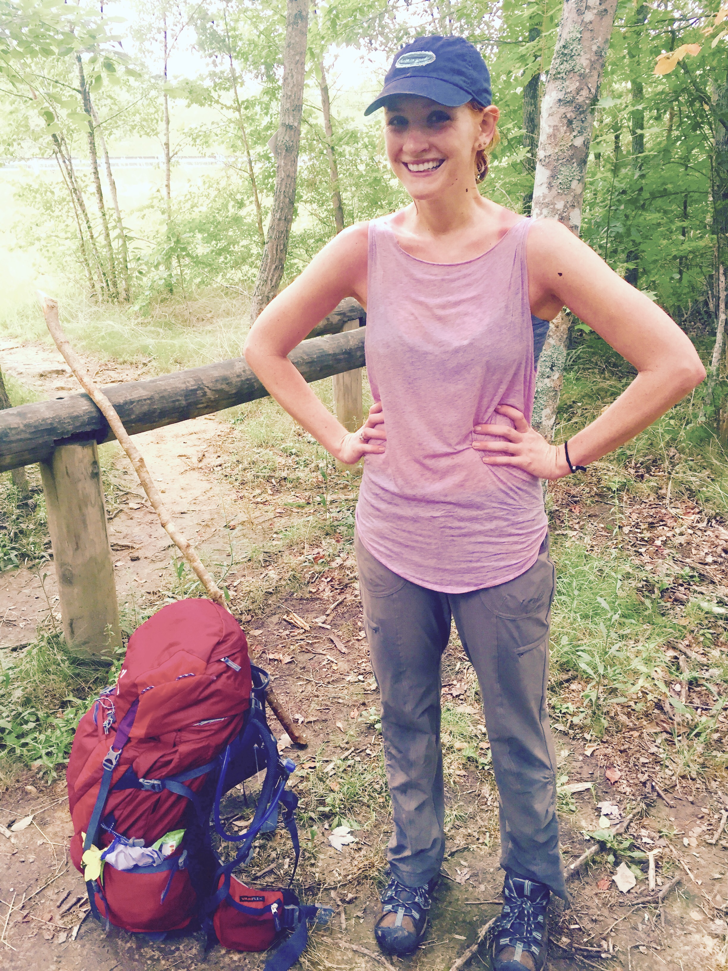
[i decided to write this up in a Then Again style because this wasn’t my trip; it was Gambit’s. I’ll be hiking this section myself later on, when I finish Virginia.]

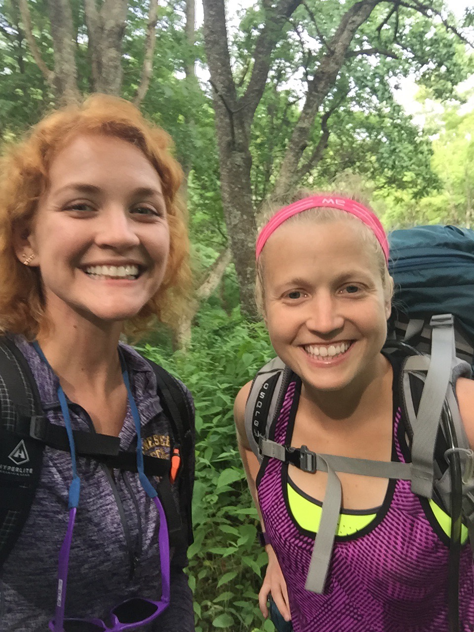
Gambit had asked if I wanted to do a section of Virginia with him for the 4th of July. He’s trying to finish Virginia before the end of the year, and he doesn’t lack much, just 226 miles. I usually spend the 4th in Tennessee with my family, but as I’ve gotten older, I’m craving more adventure in my life. 

So when Gambit asked if I wanted to go, I said yes. This would give me a chance to get in some miles before my New Hampshire trip and I could also scope out Virginia a little before I finished it up in December and January. 

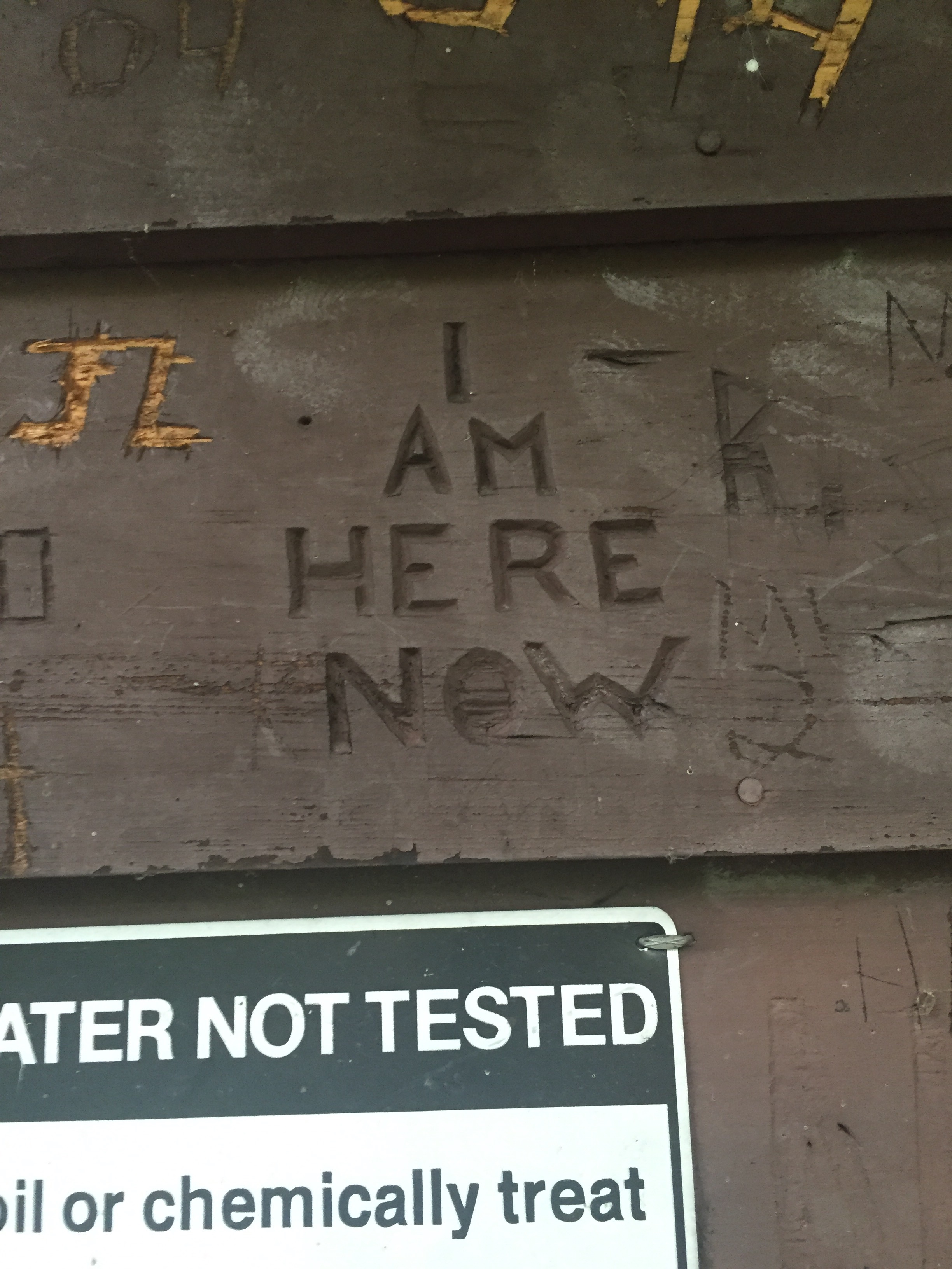
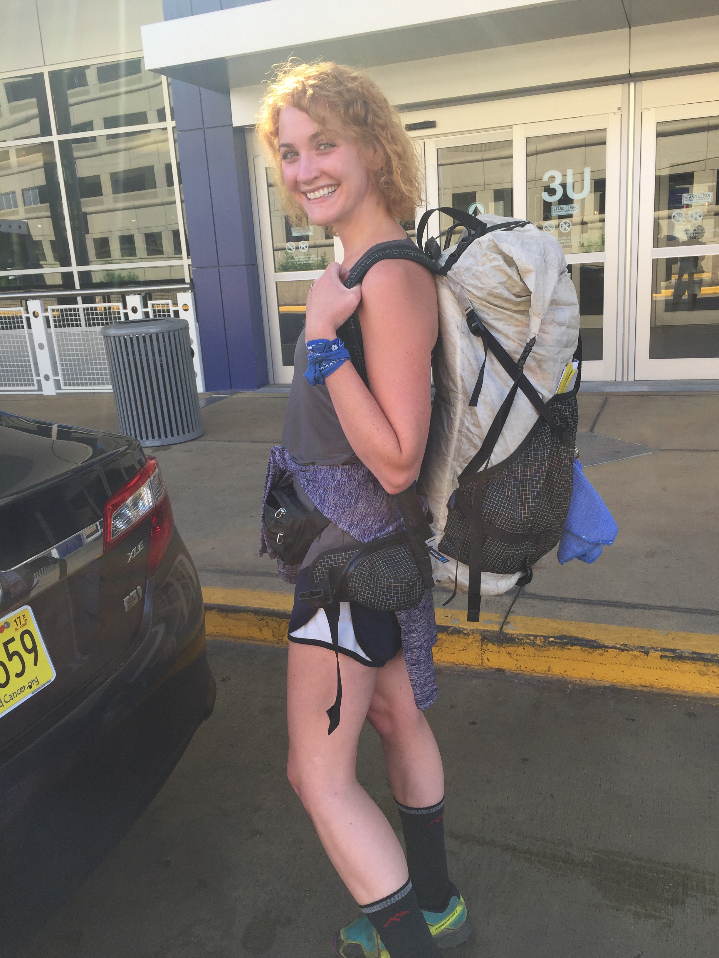
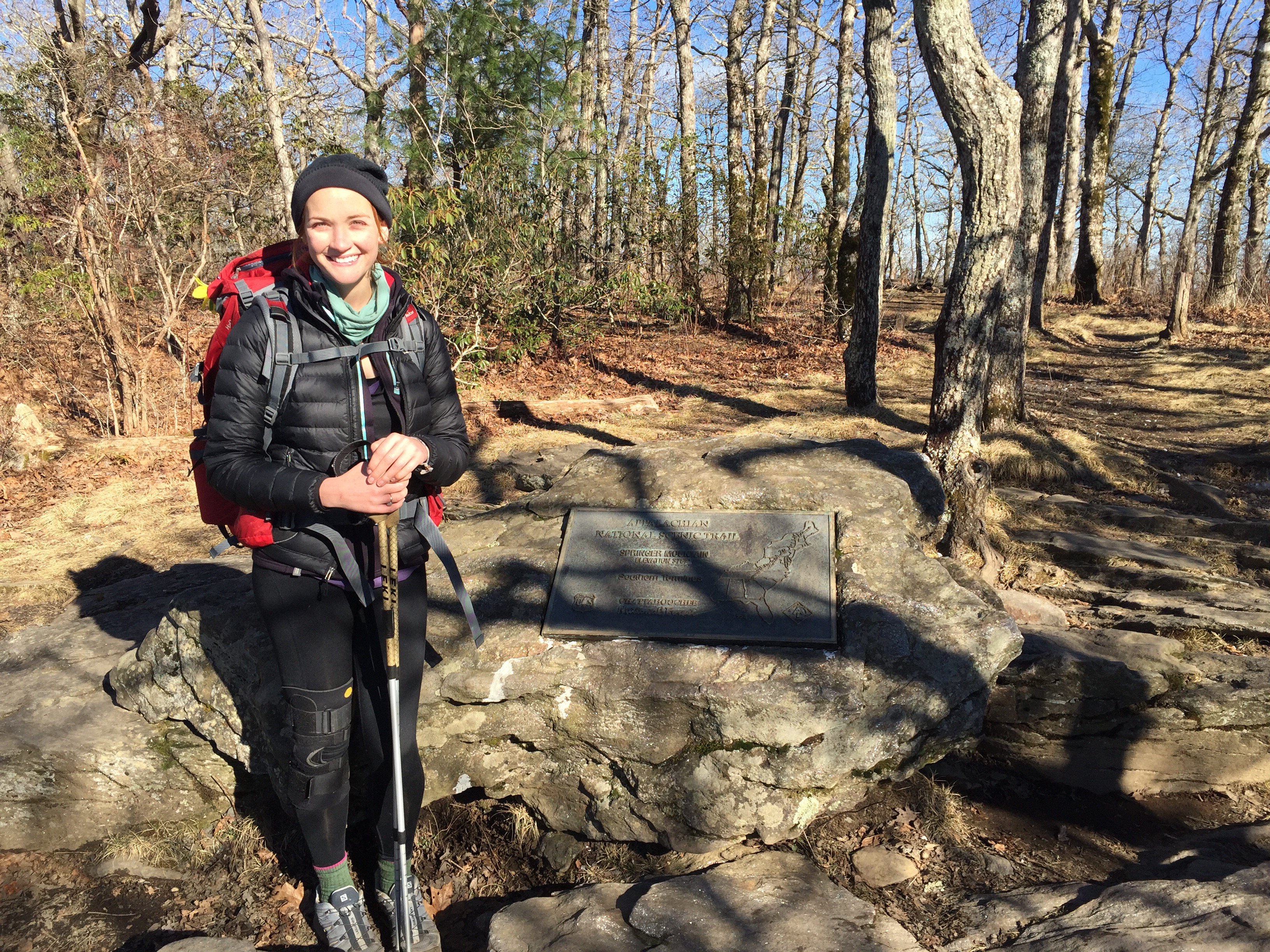
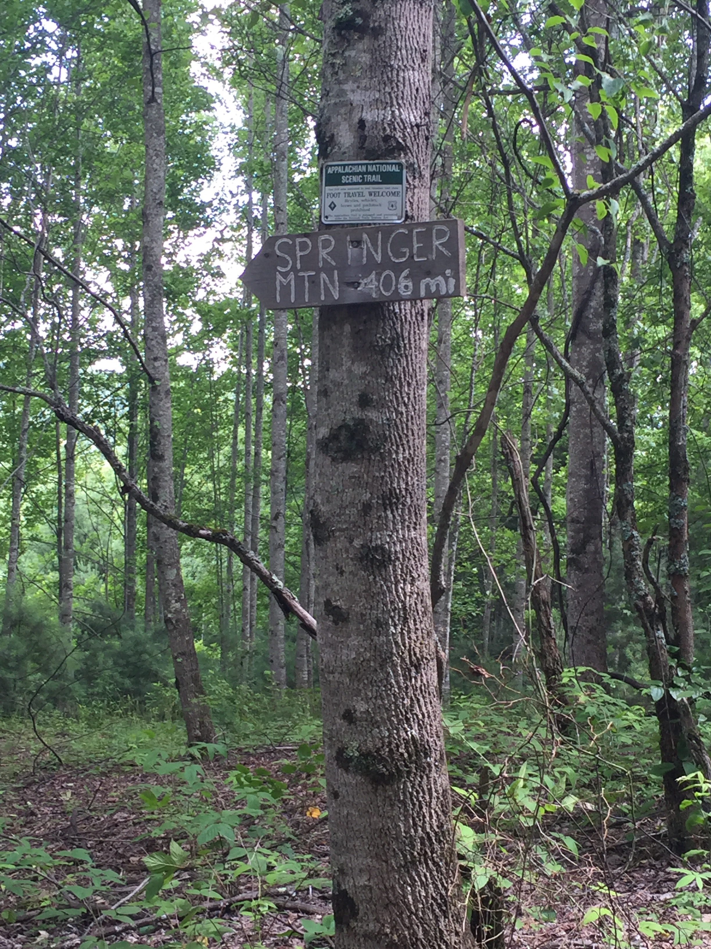
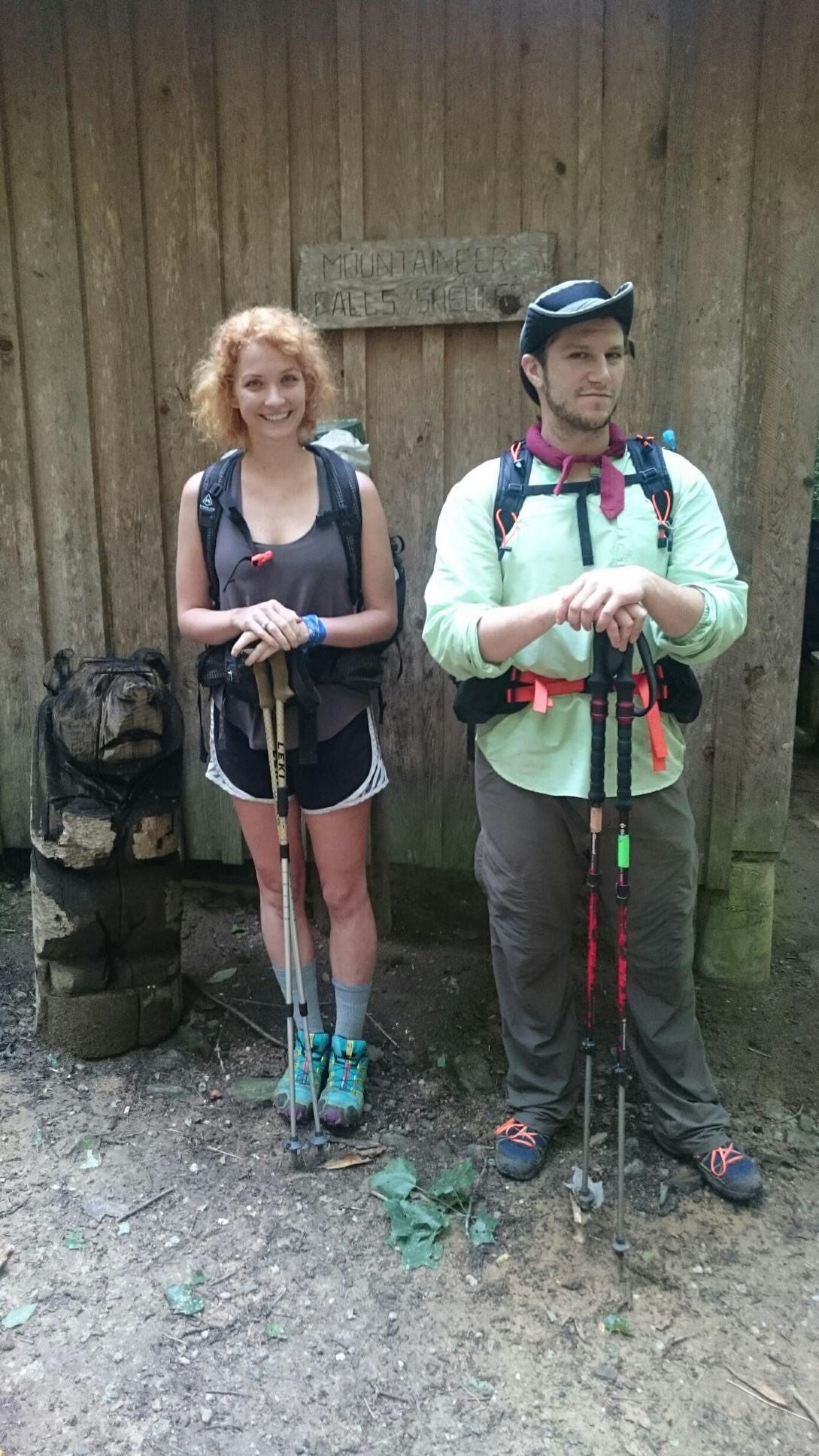
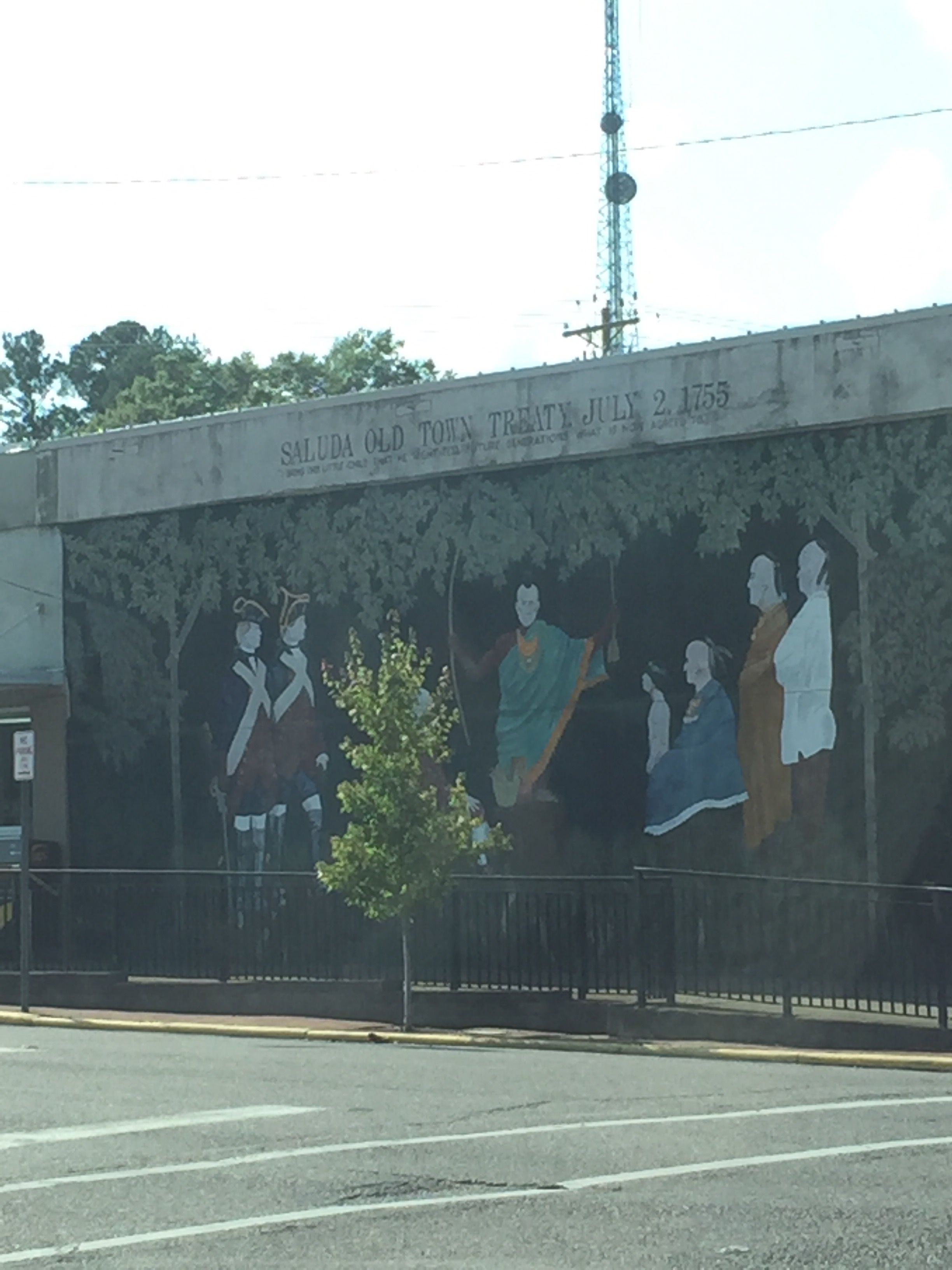
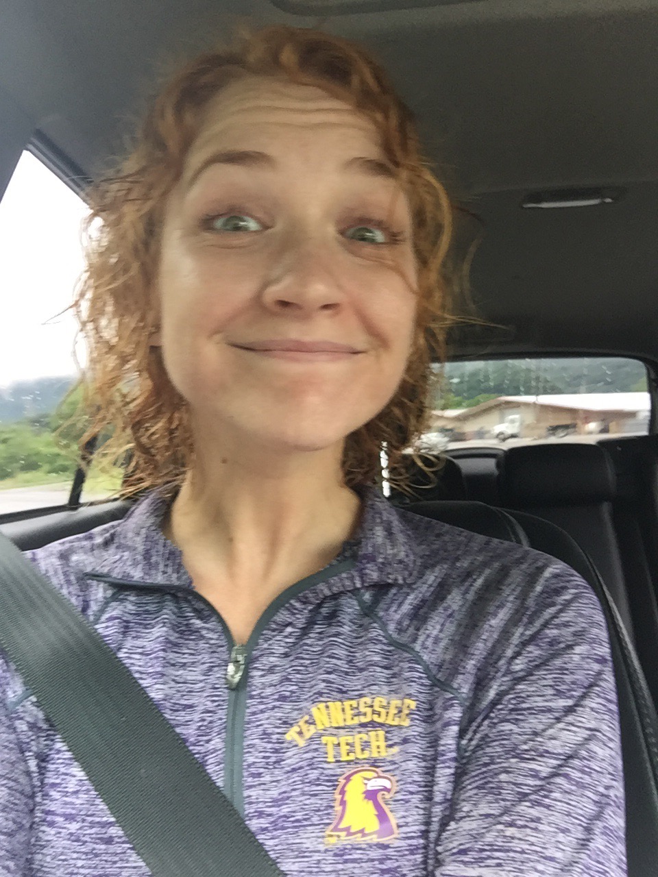
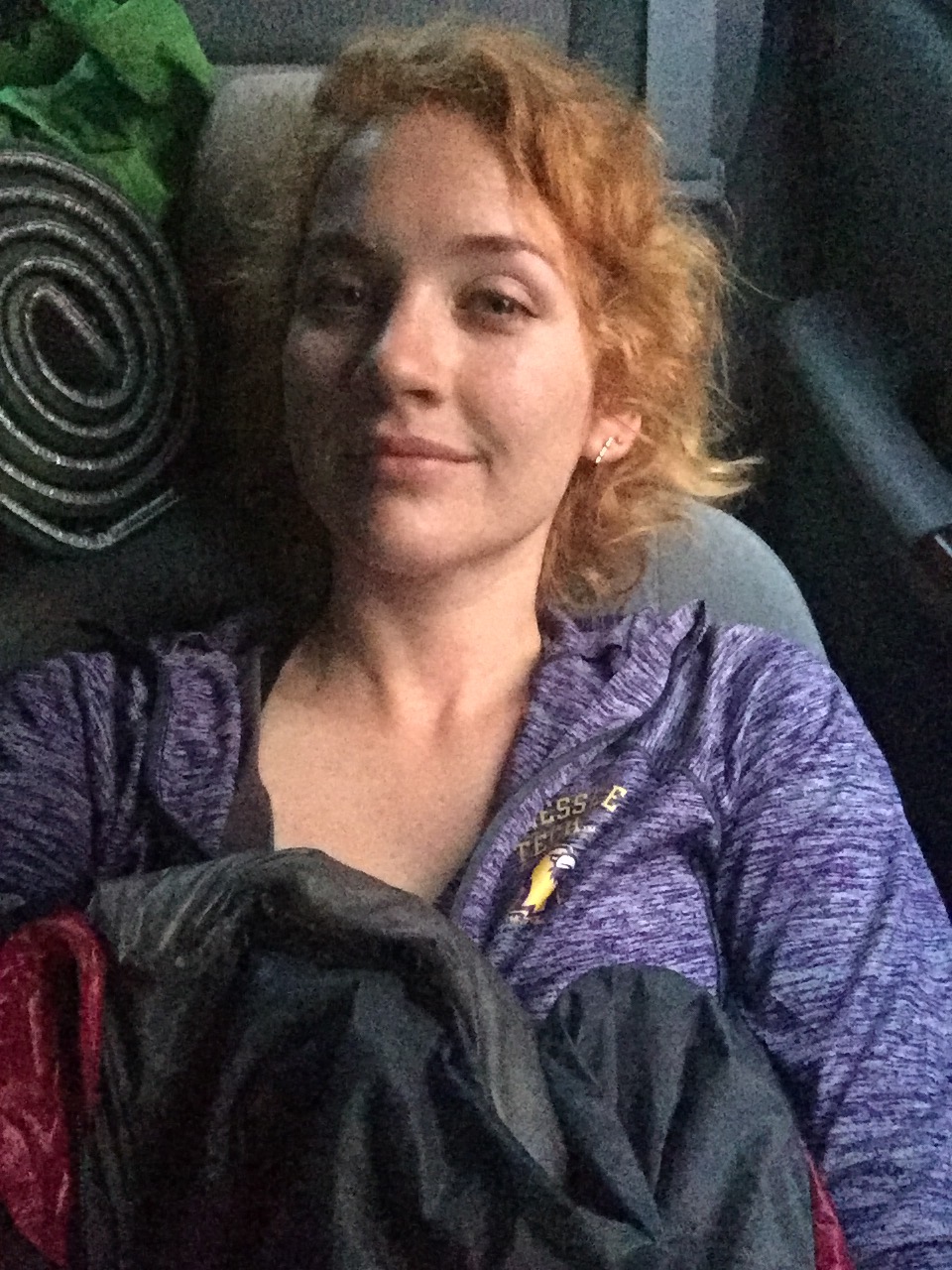
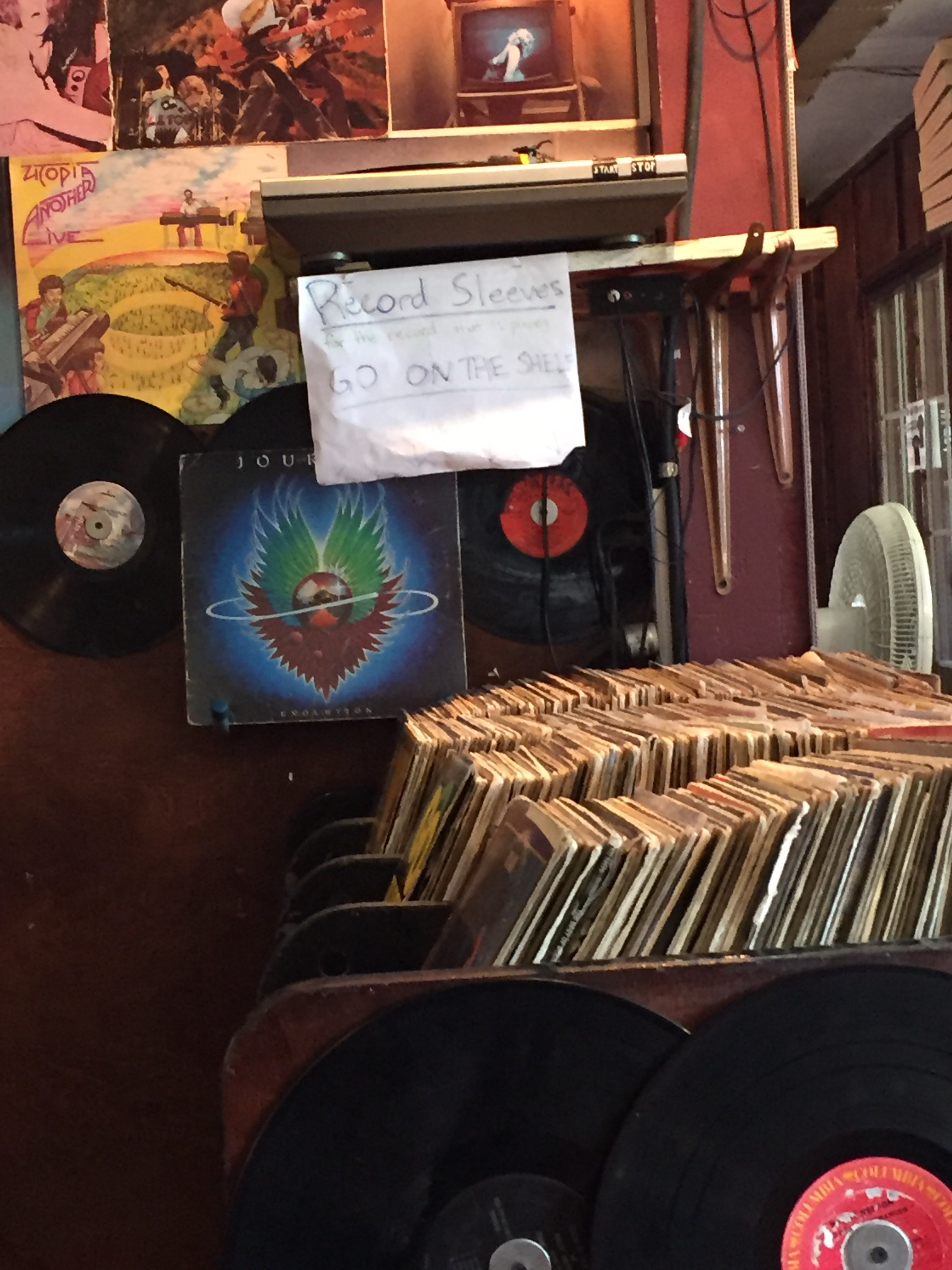
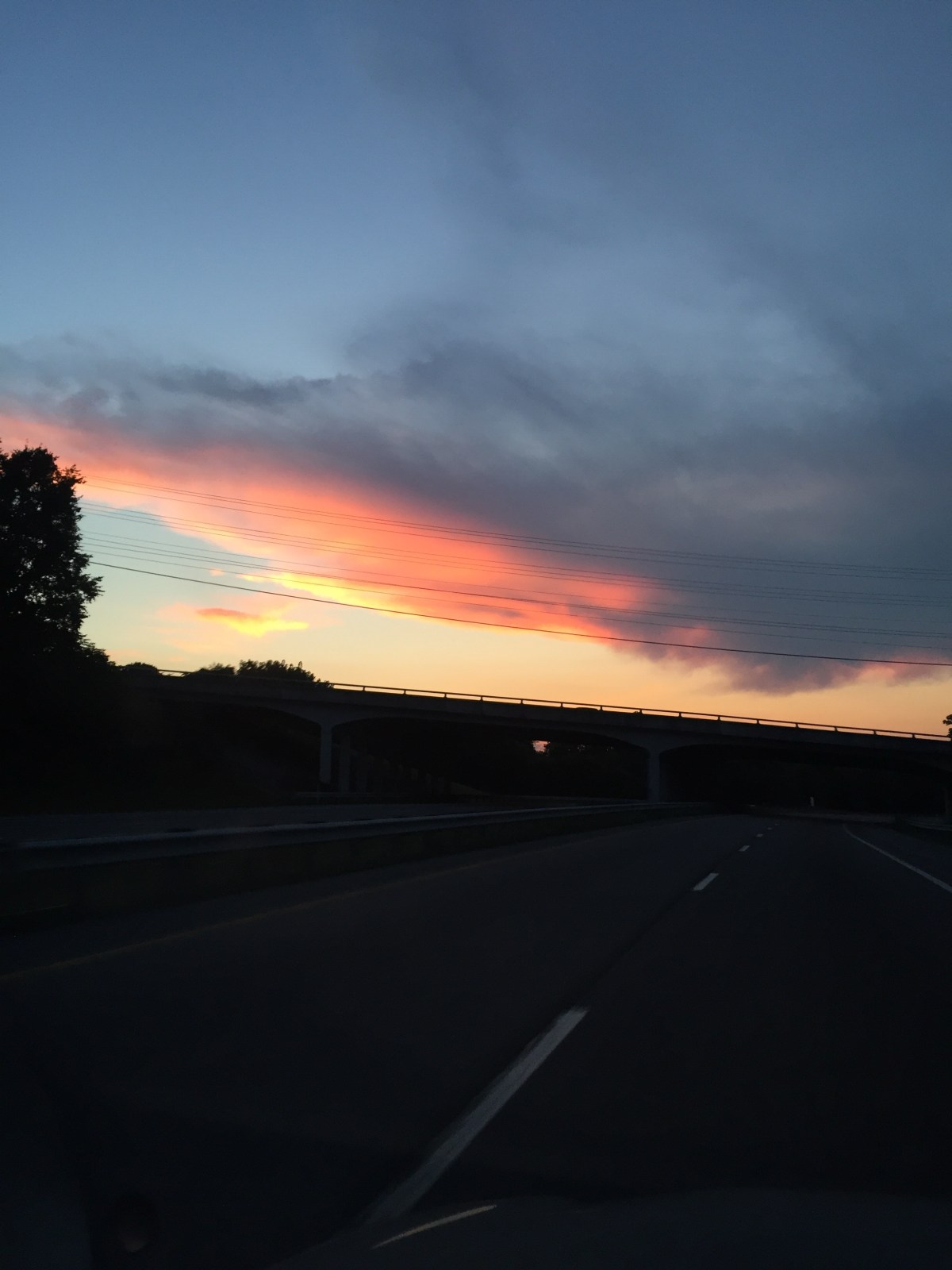
I left work Friday and drove up to Bristol, TN, where I met Gambit. I grabbed my stuff and hopped in his car and we headed east to Pearisburg, VA. On the way, I finally managed to snap a picture of this mural that I’ve been staring at every single trip. 

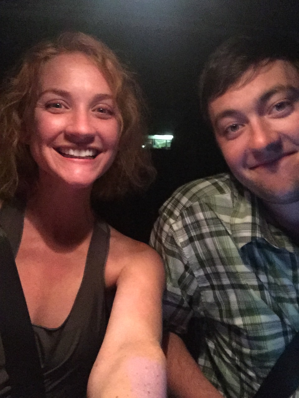
The drive gets old, but it was nice to share the trip this time. 
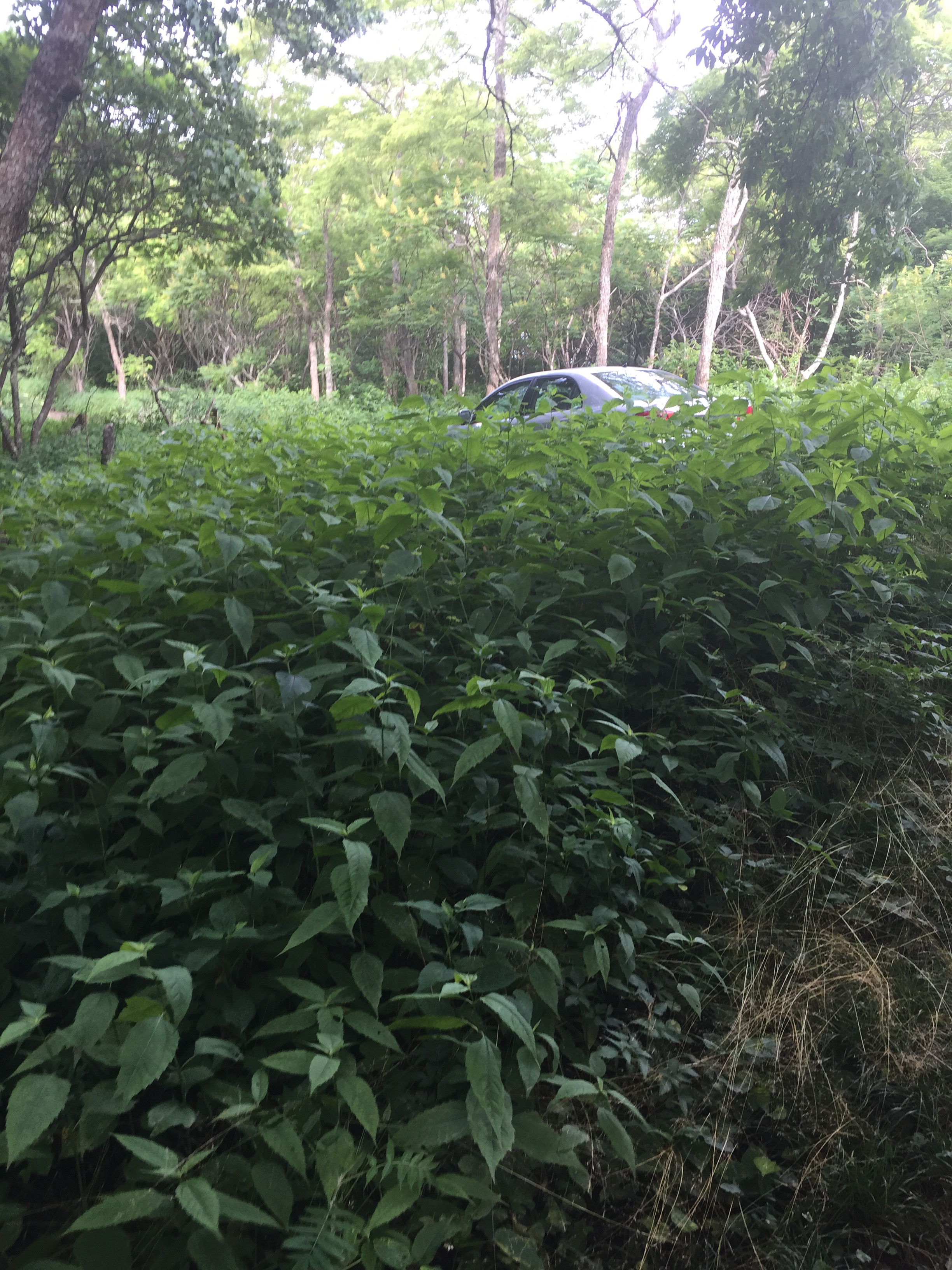
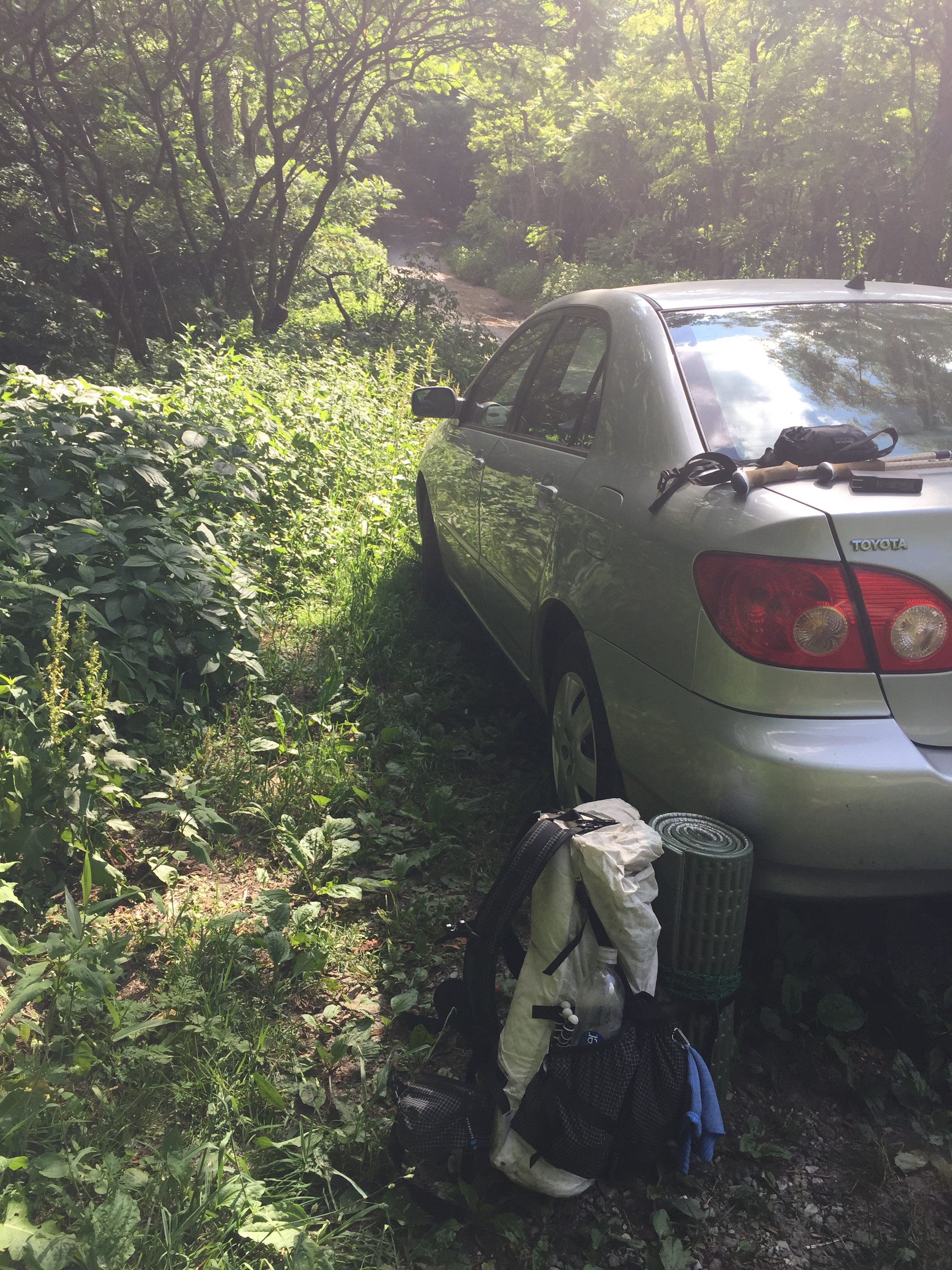
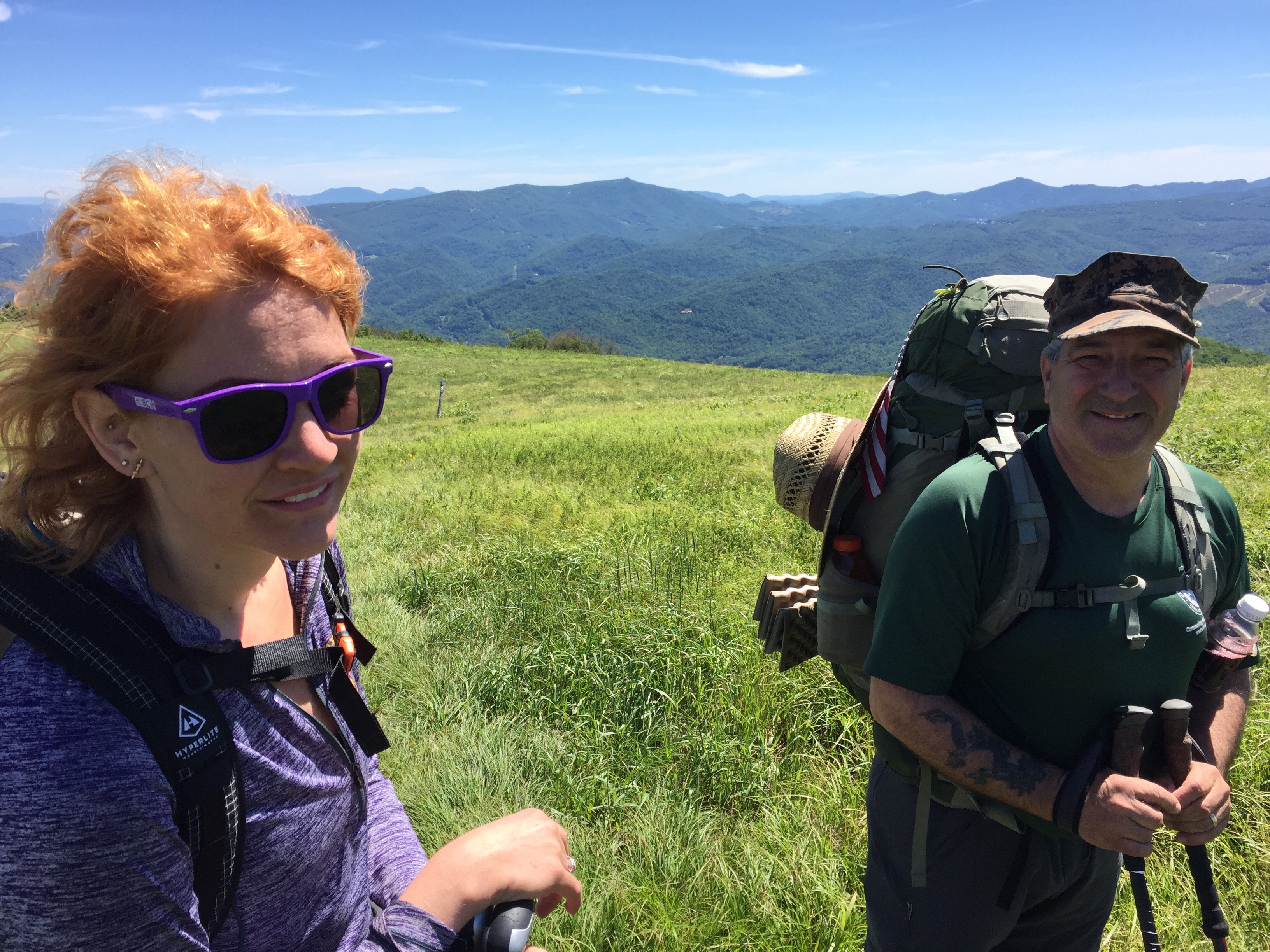
We arrived in Pearisburg and parked at the Farm Bureau, where Gambits shuttle driver had recommended he park. 
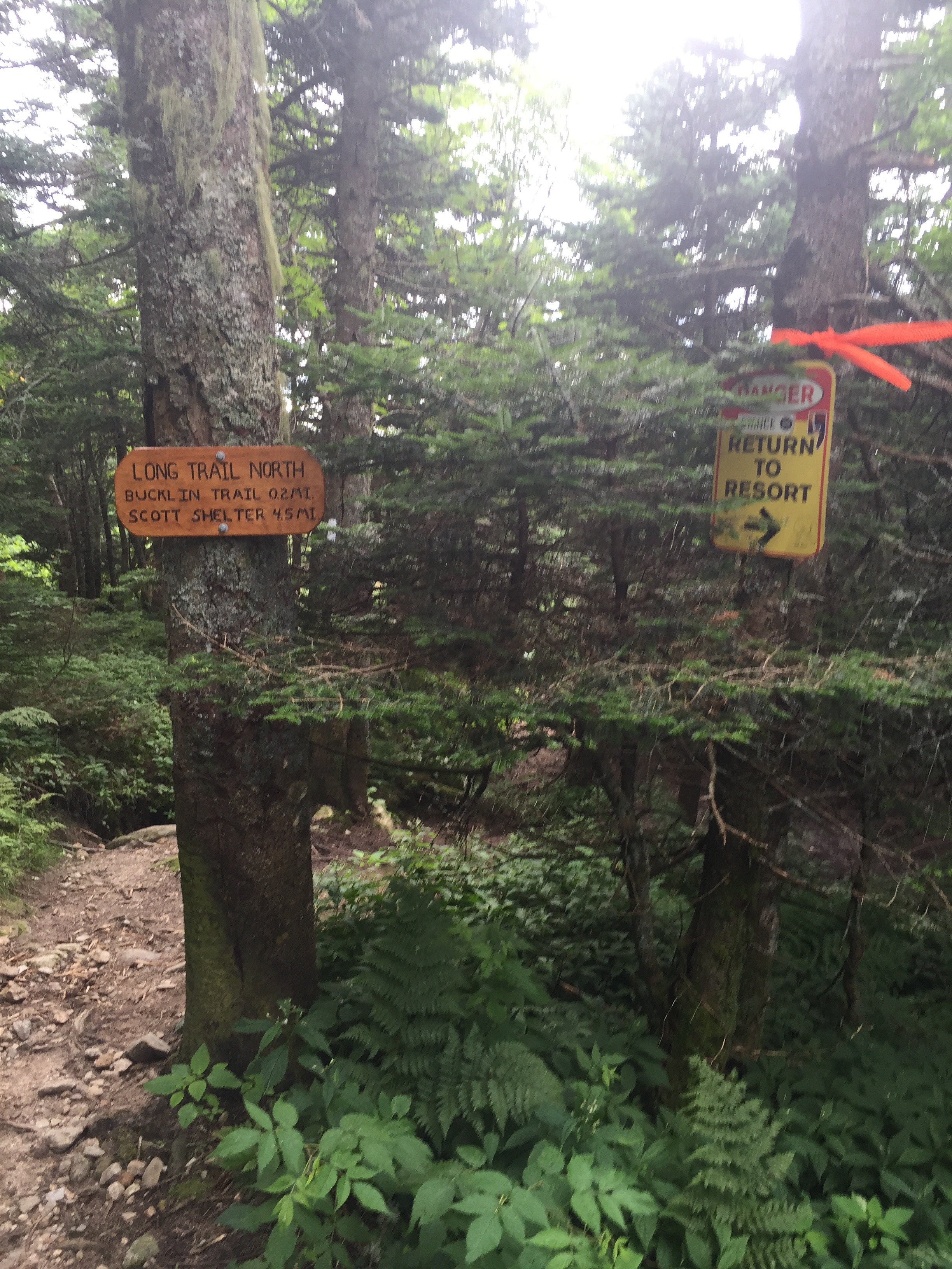
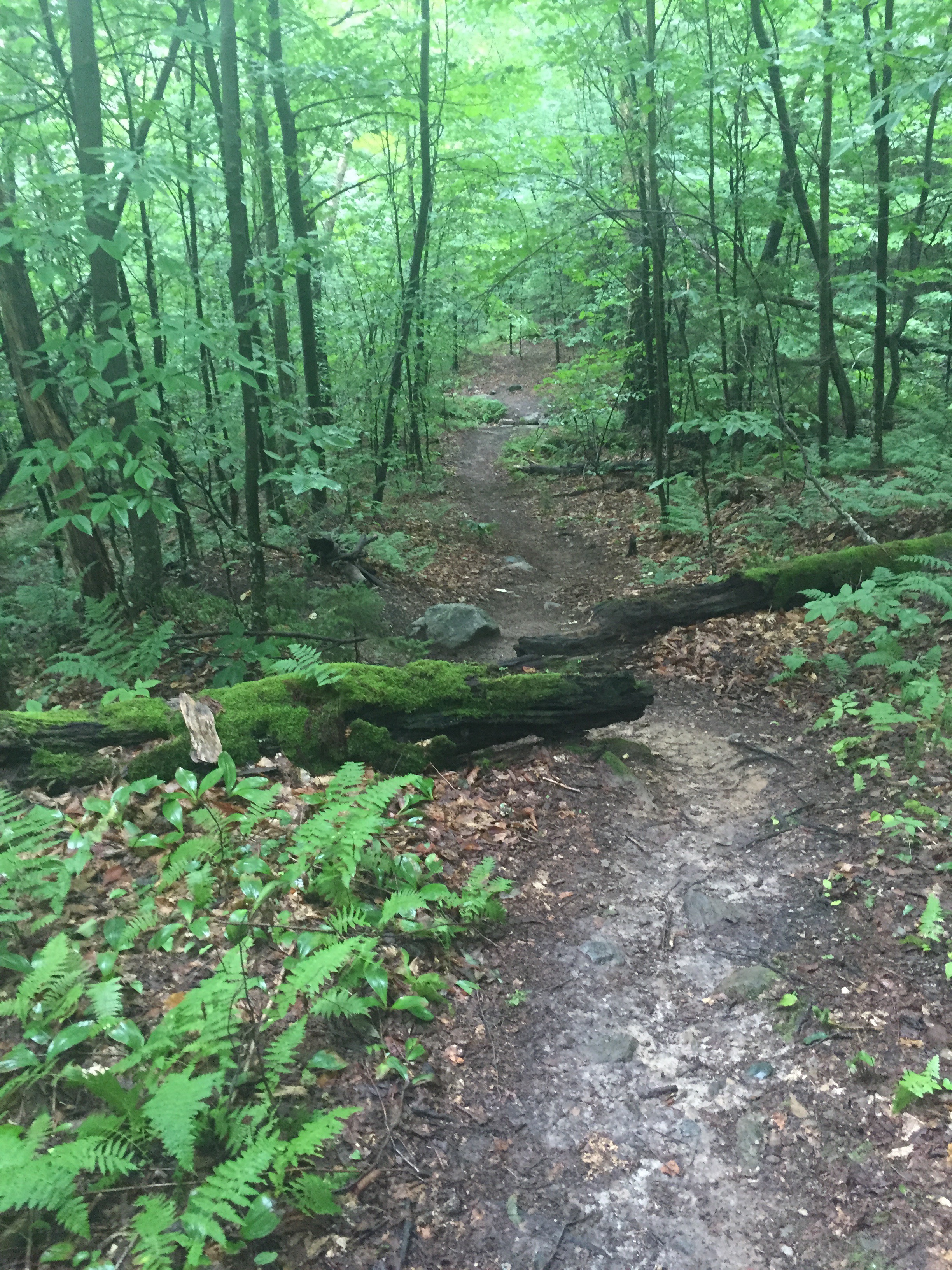
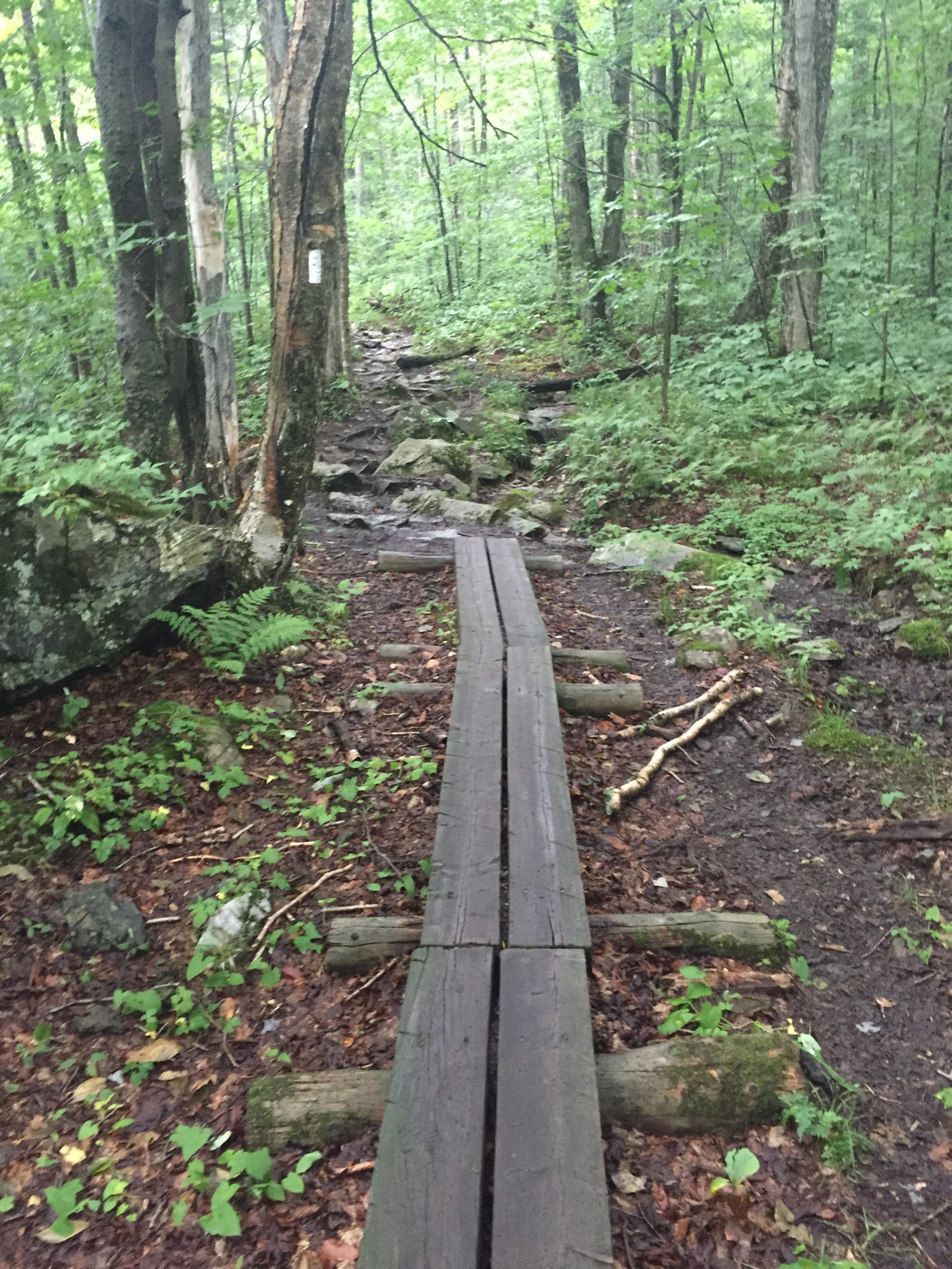
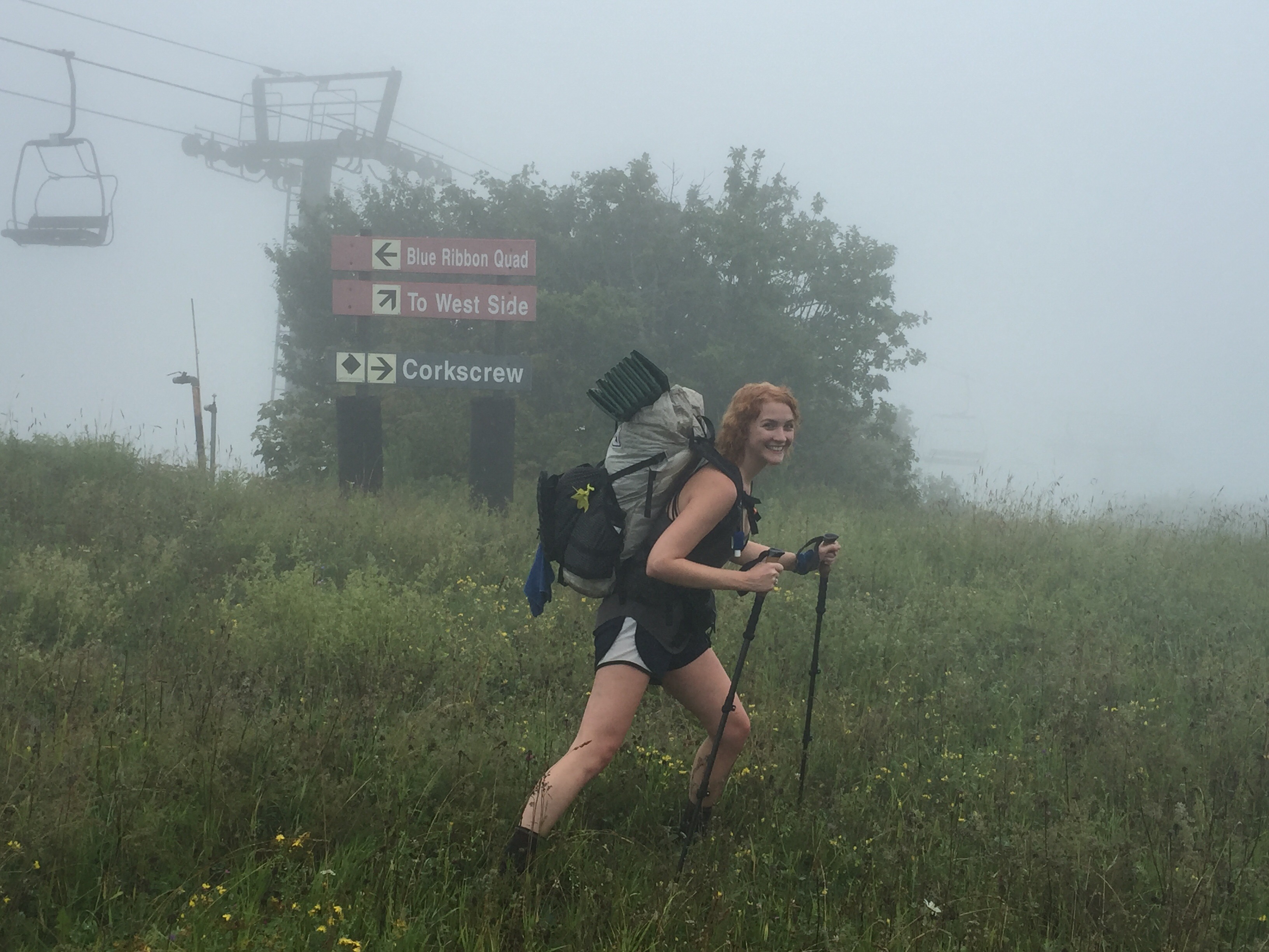
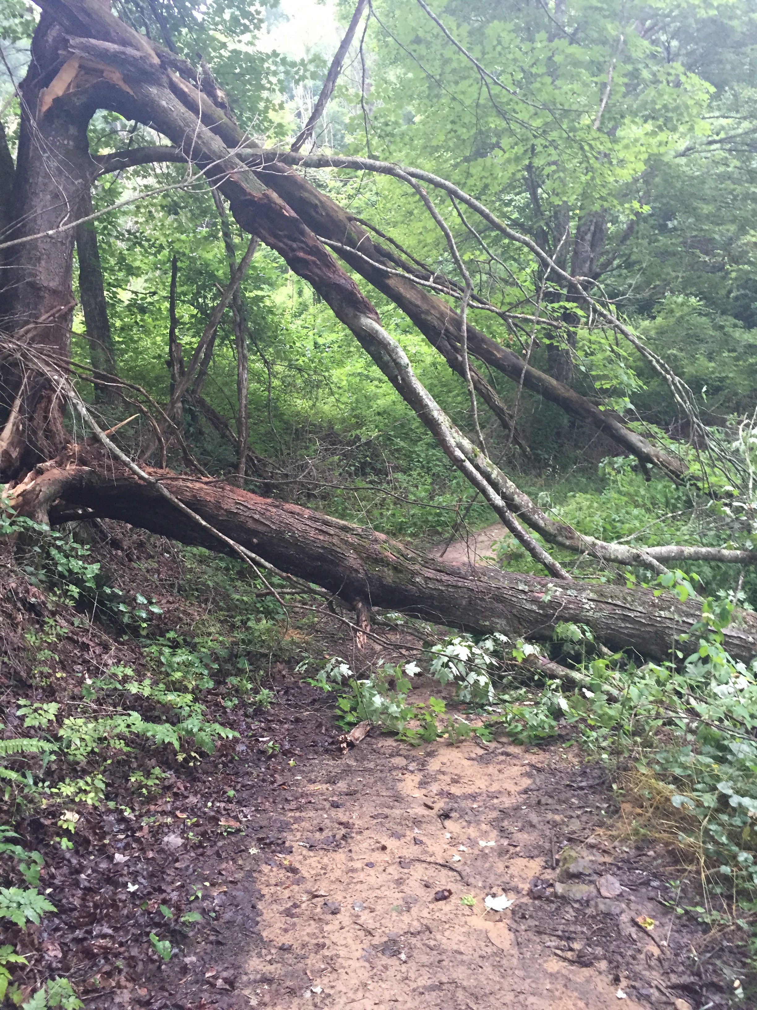
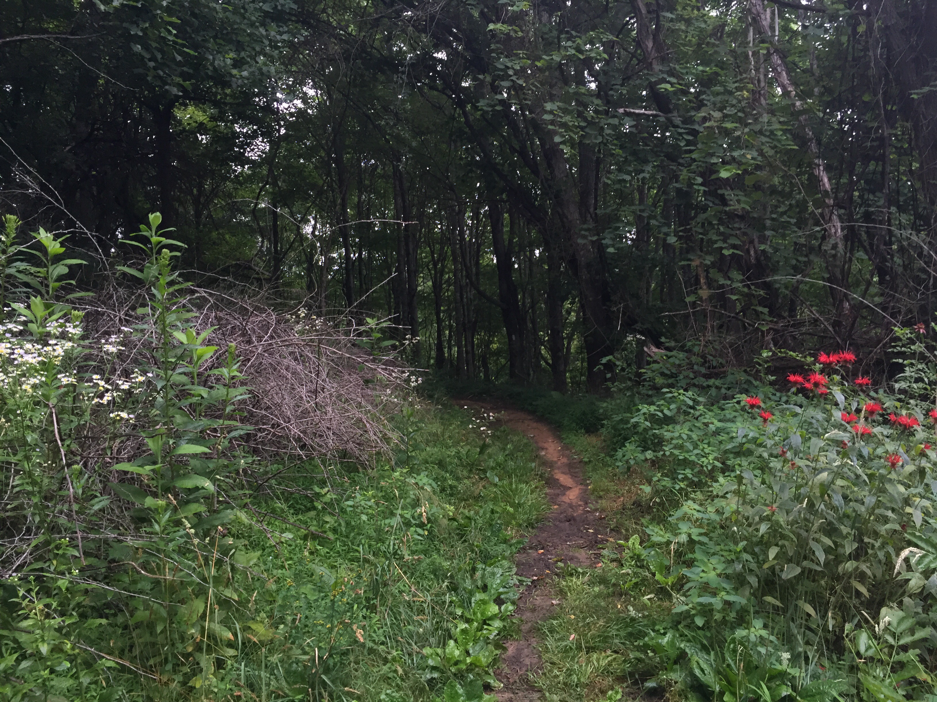
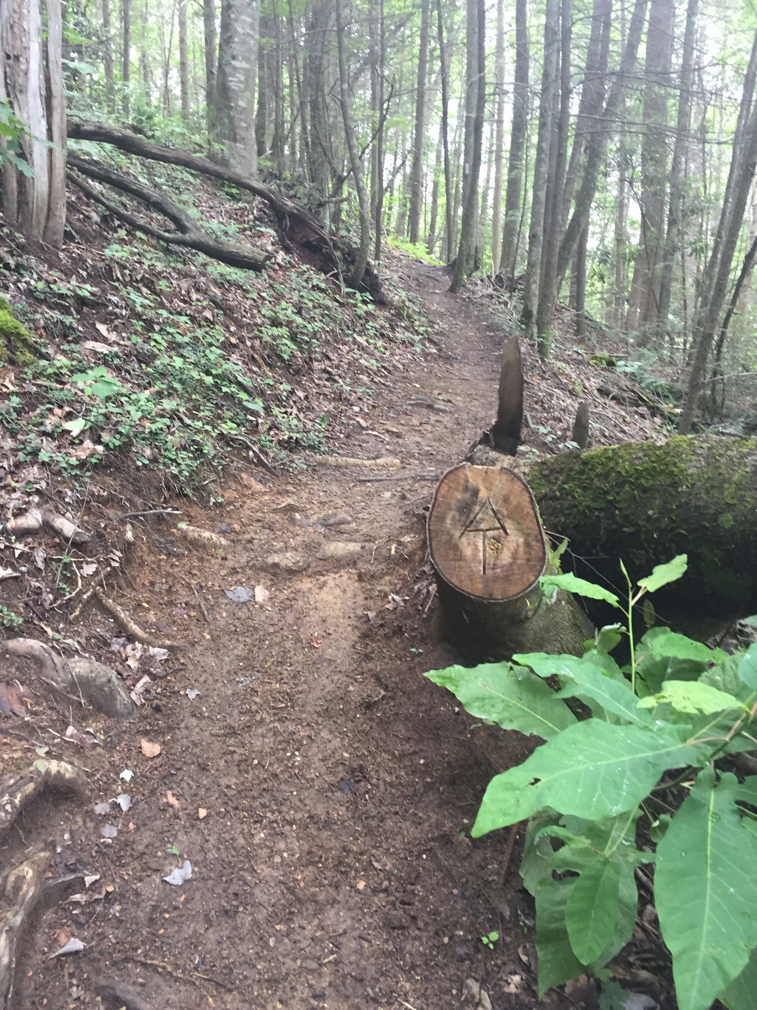
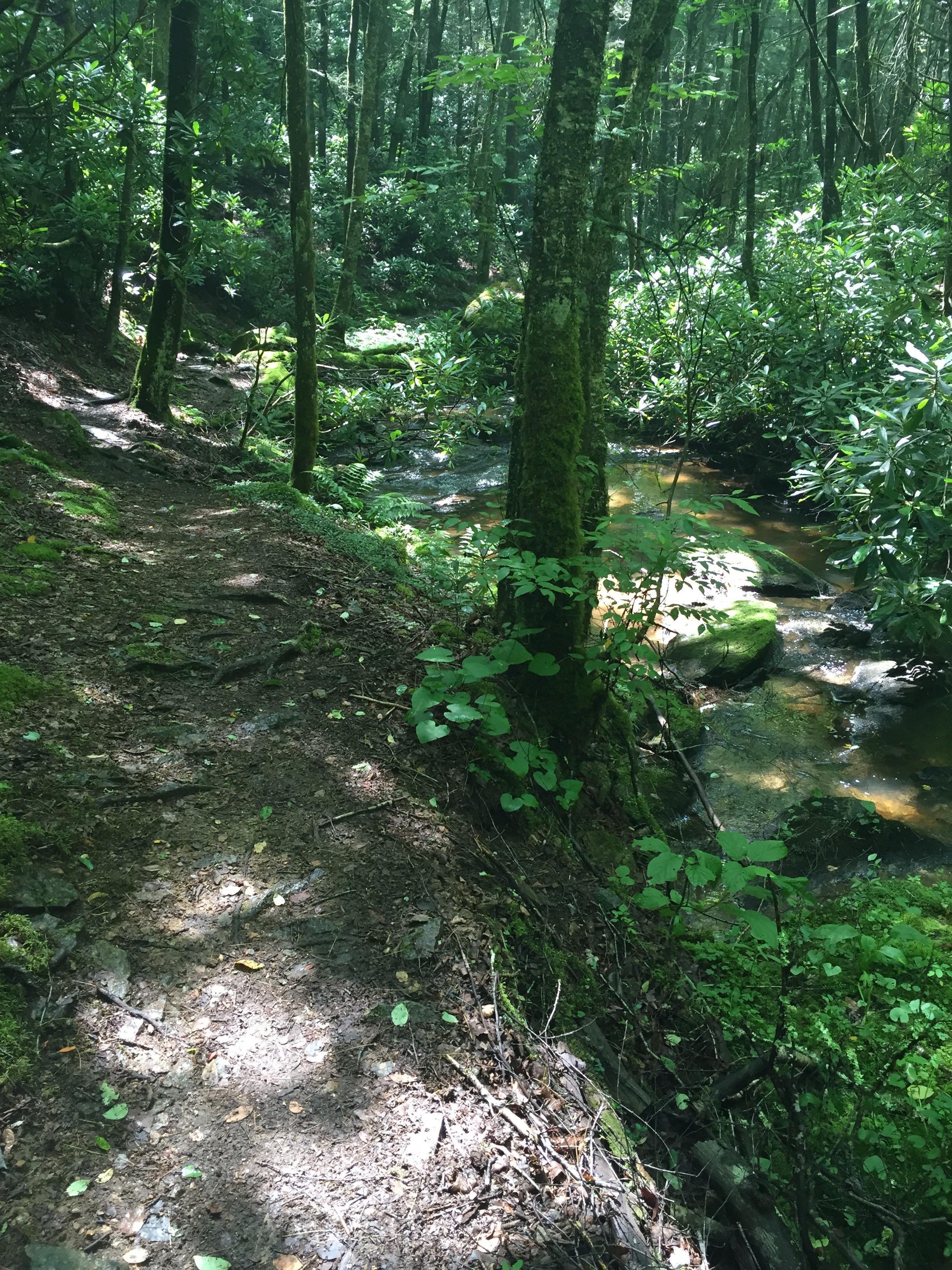
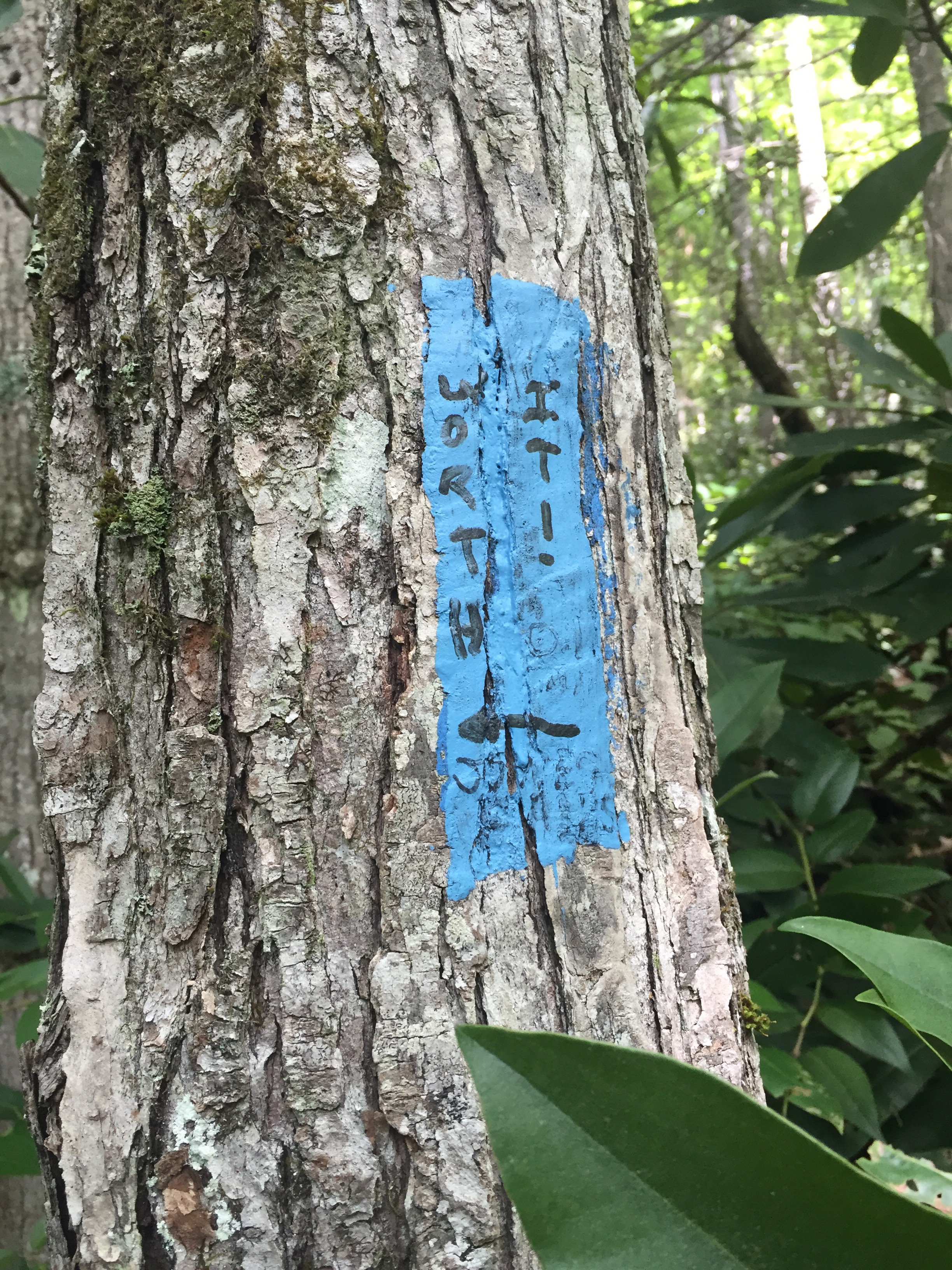
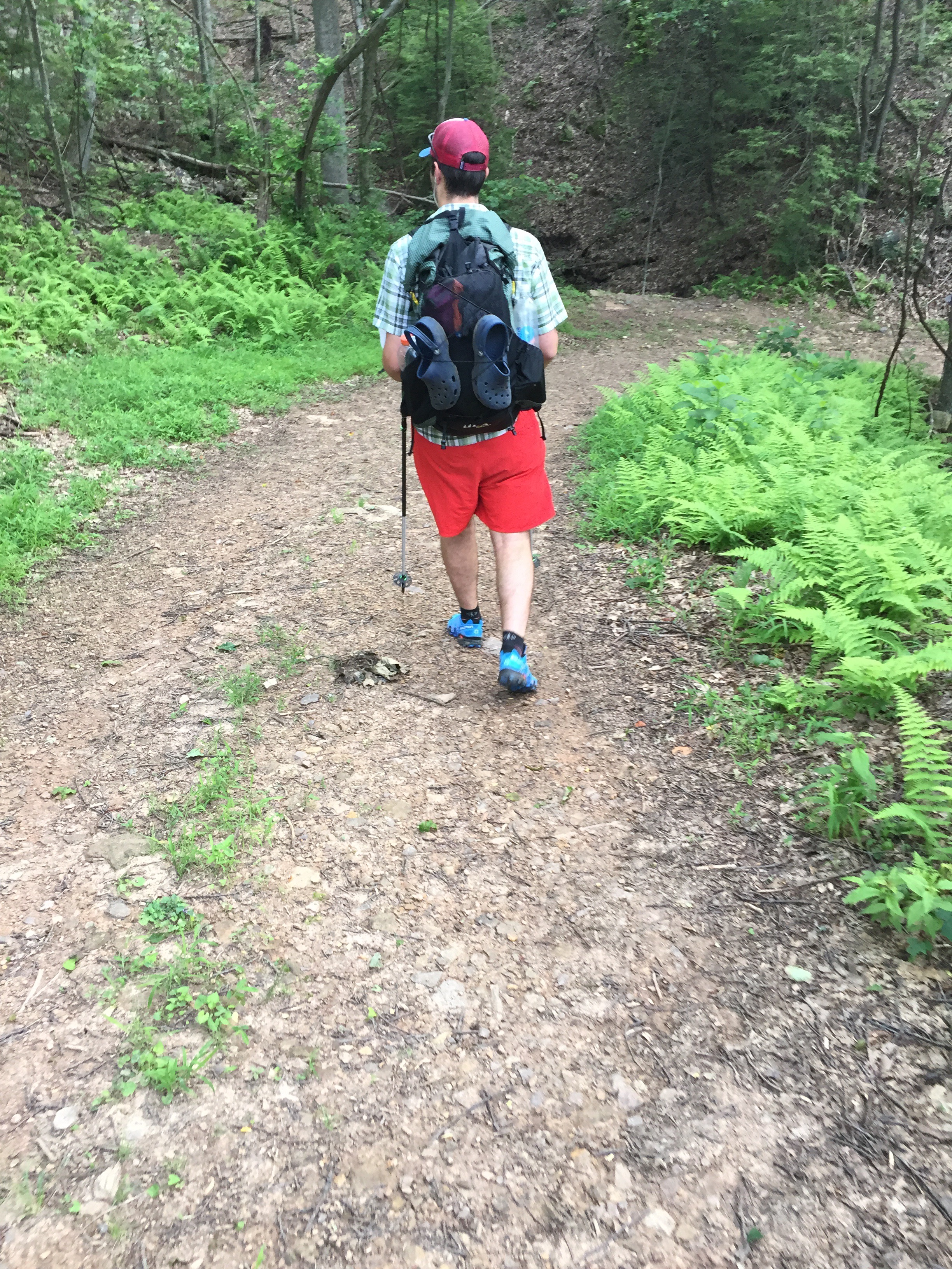
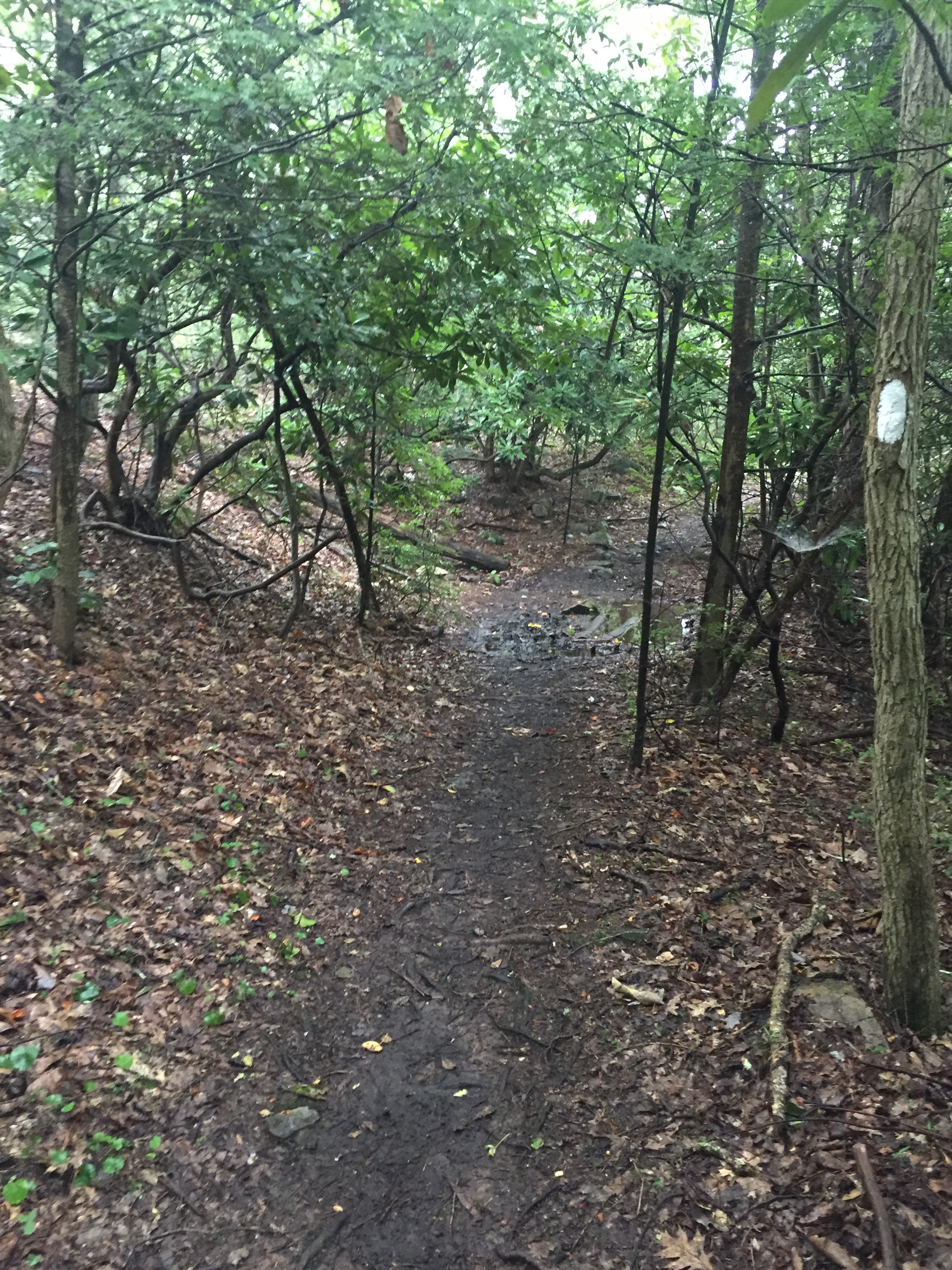
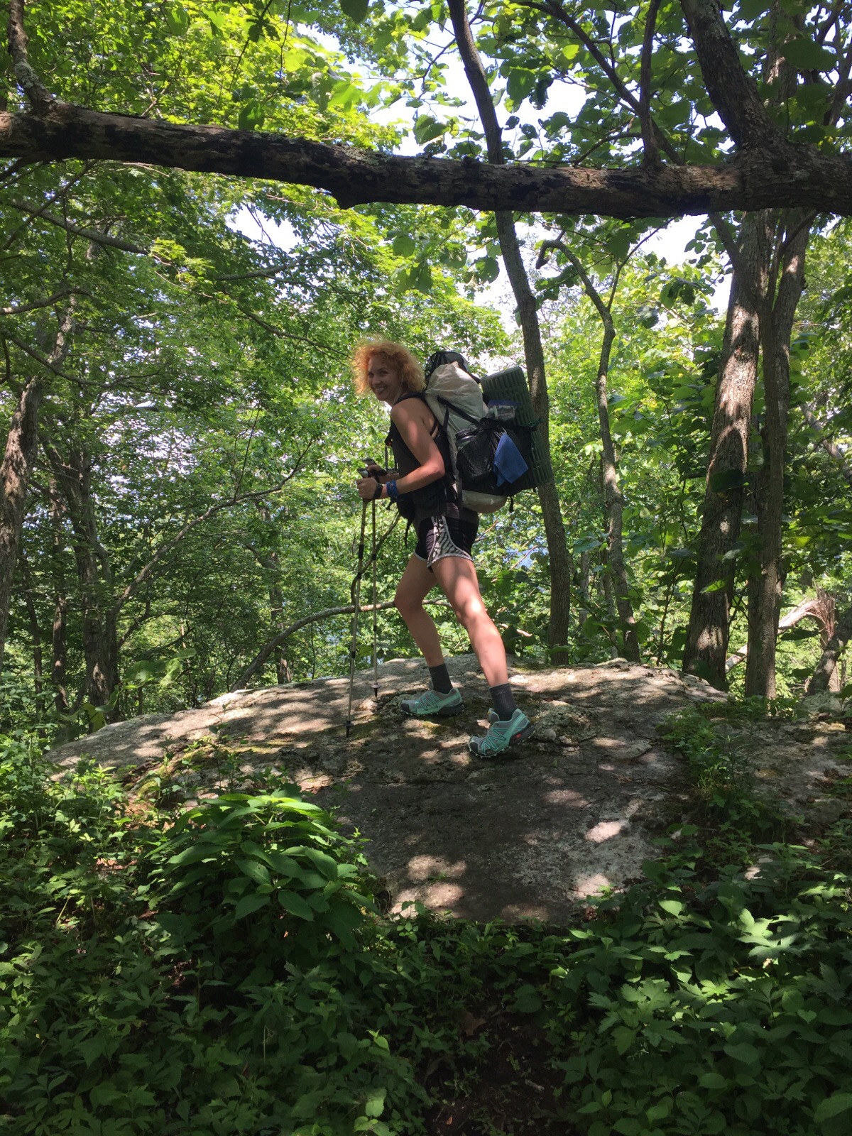
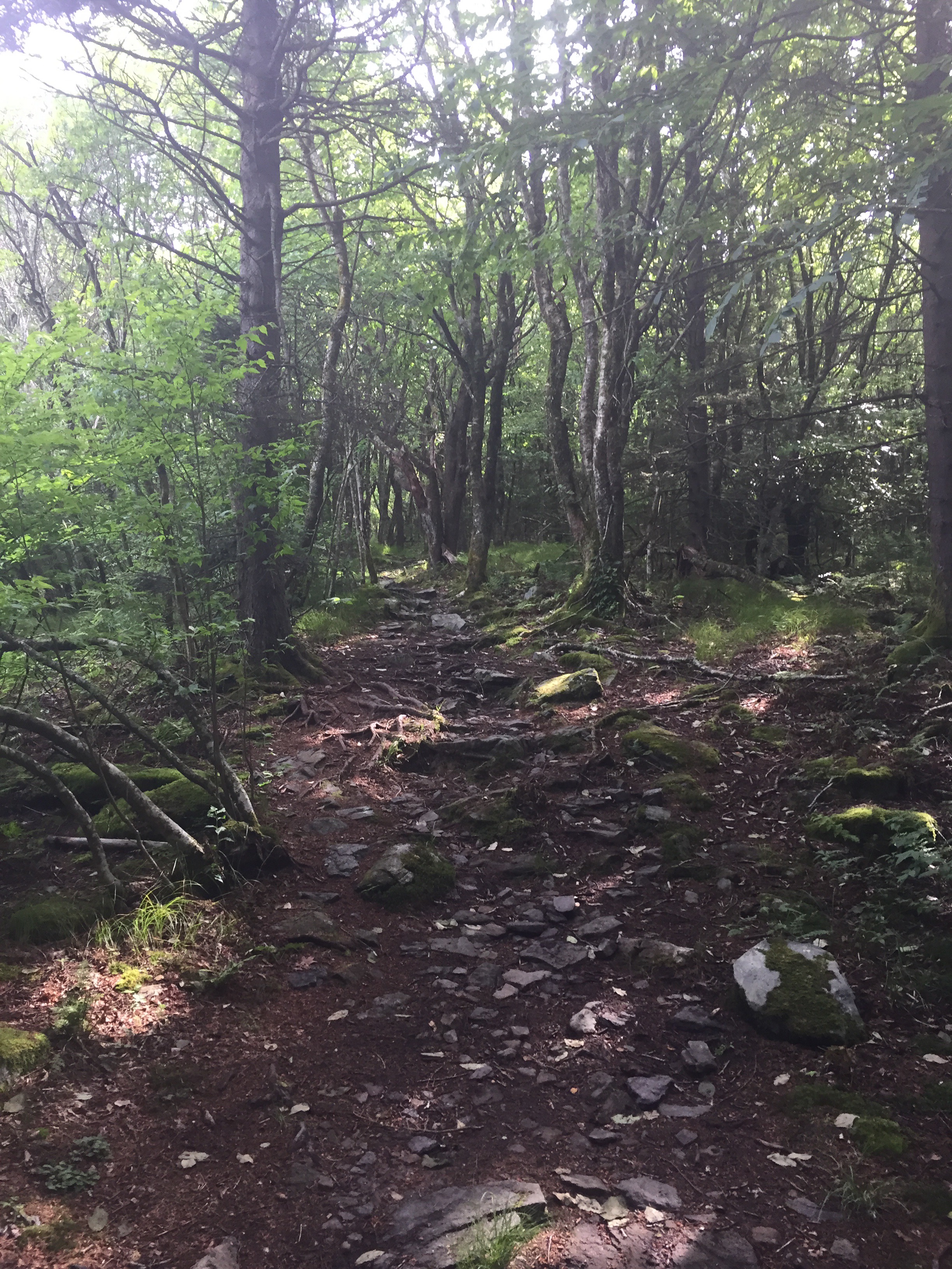
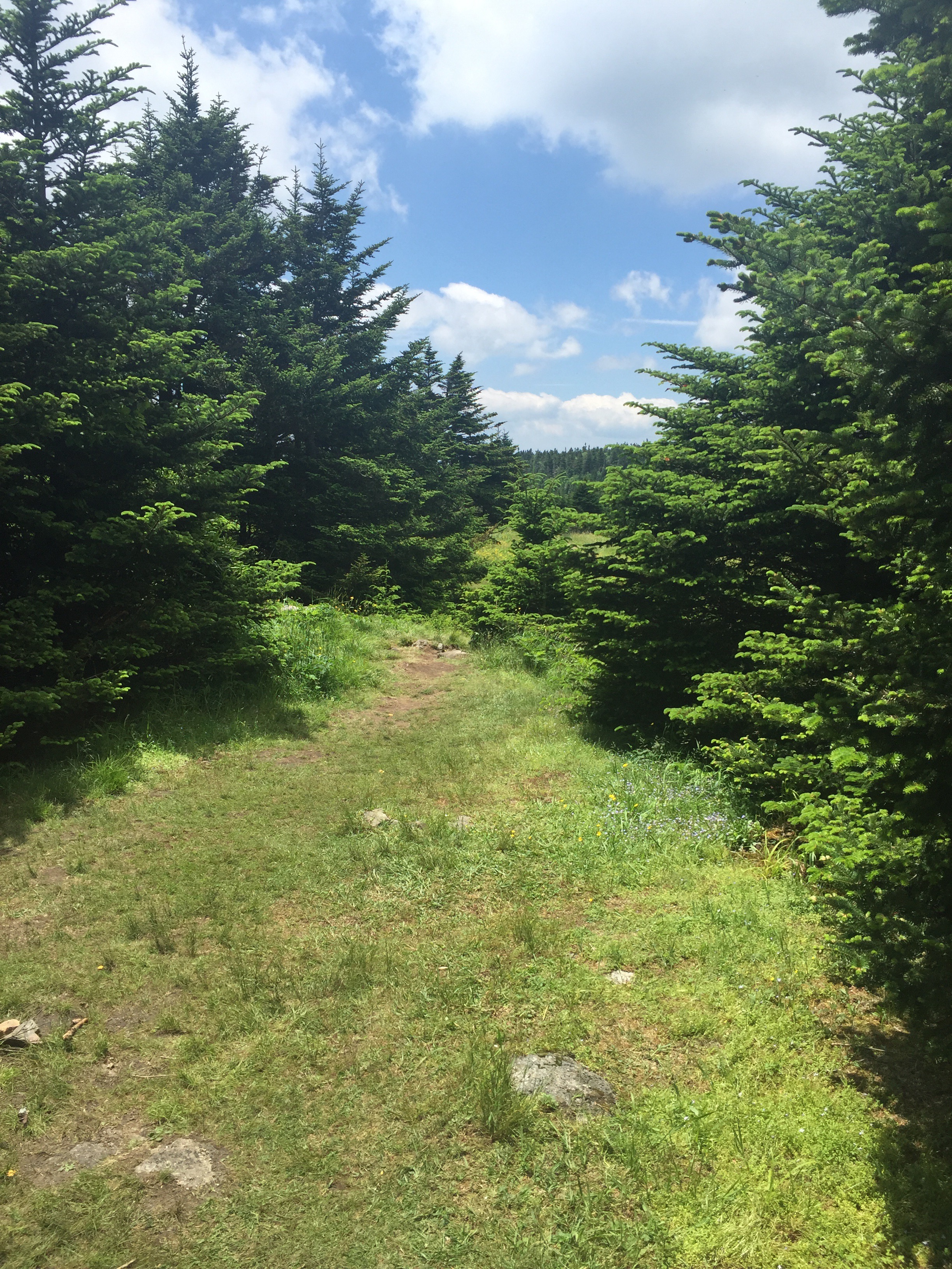
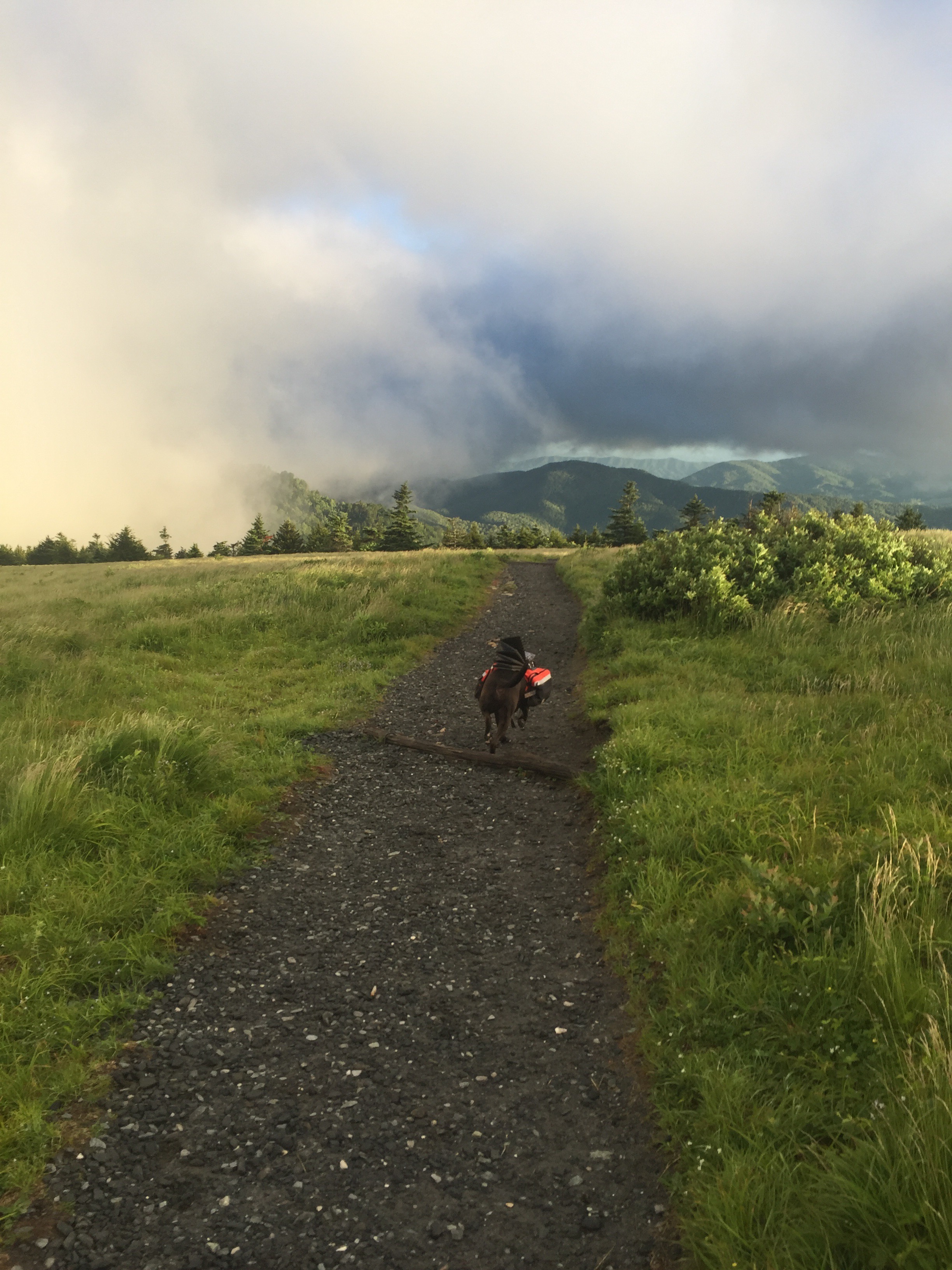
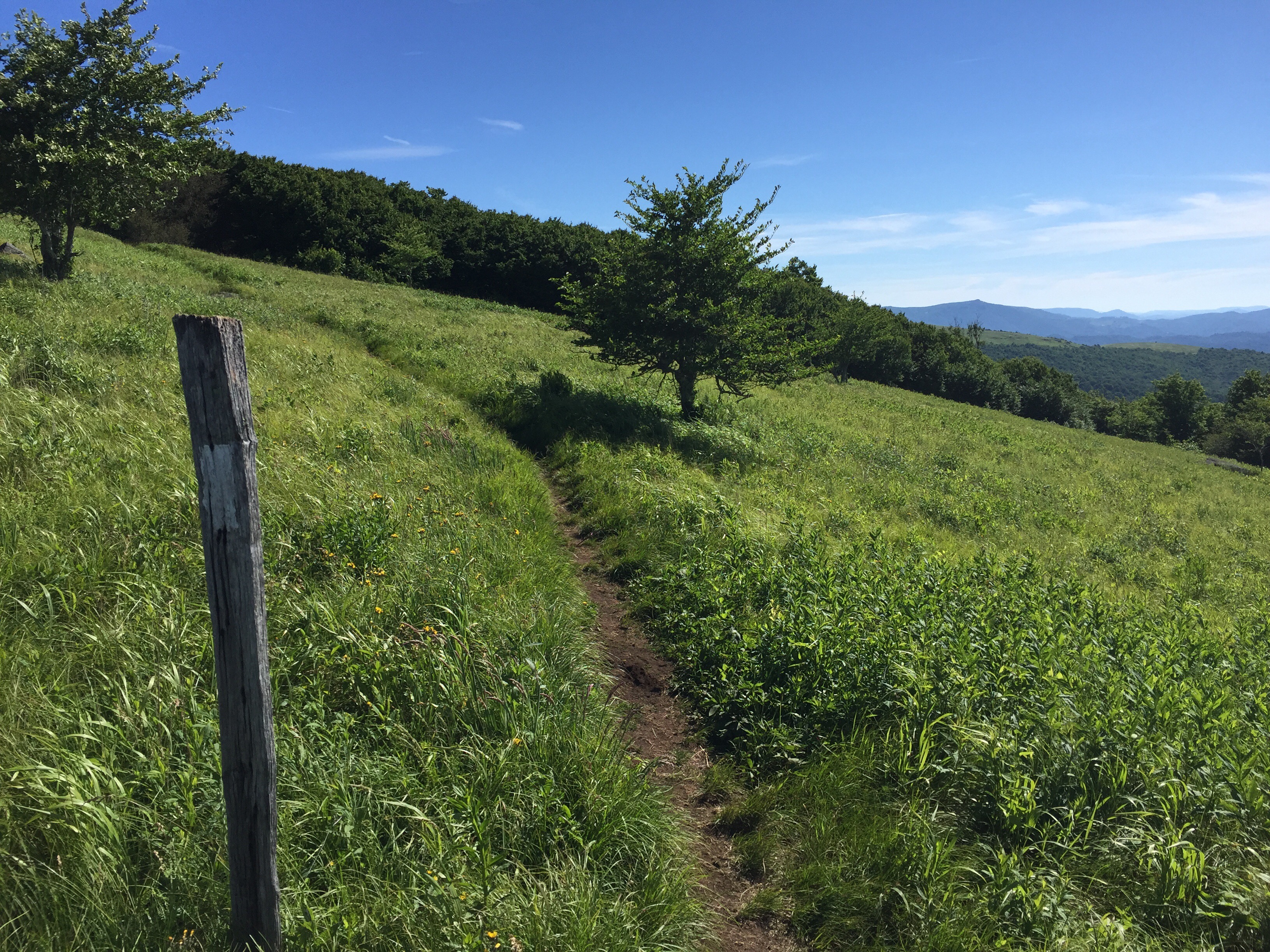
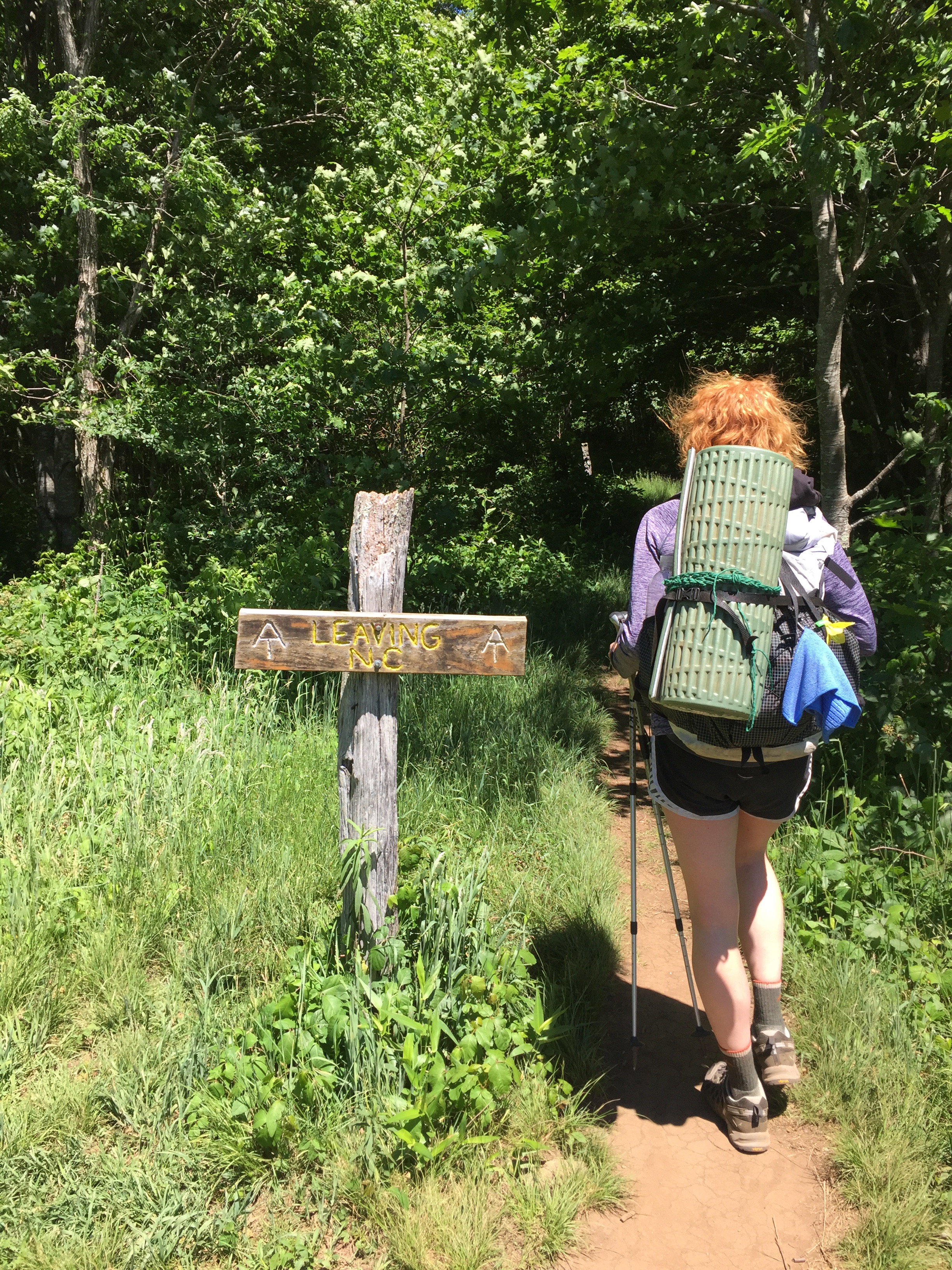
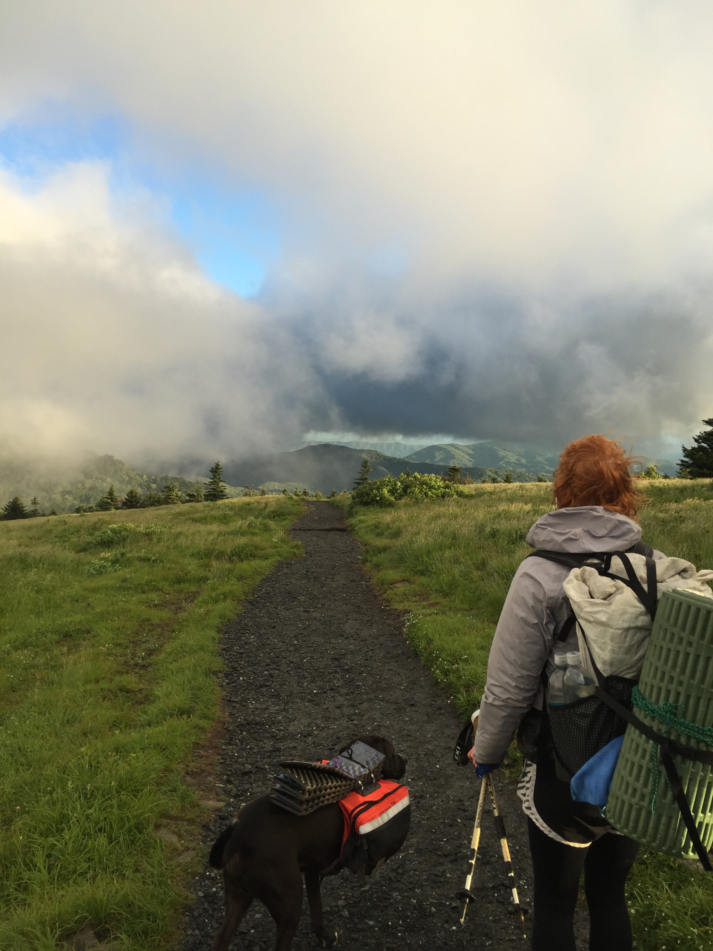
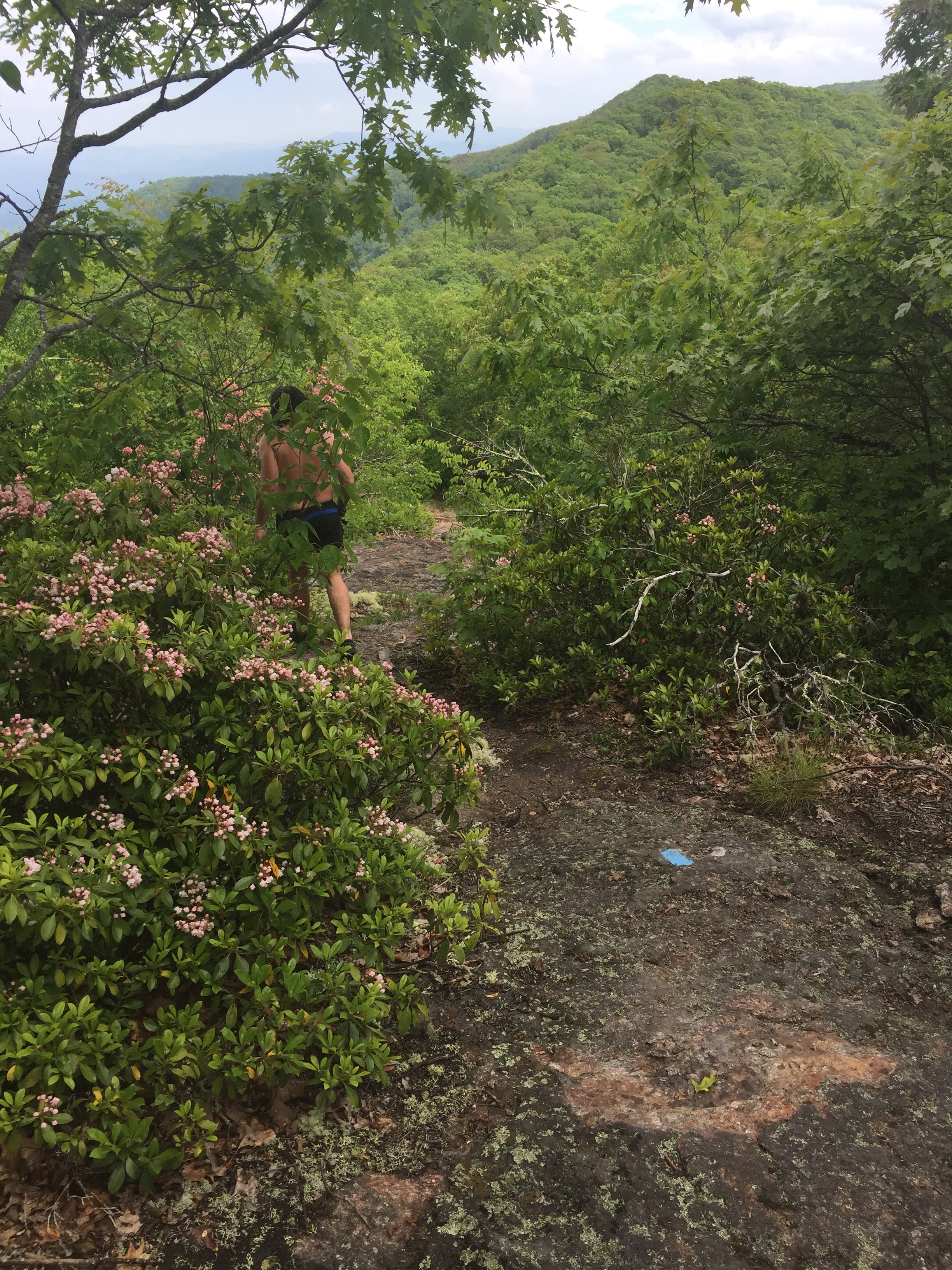
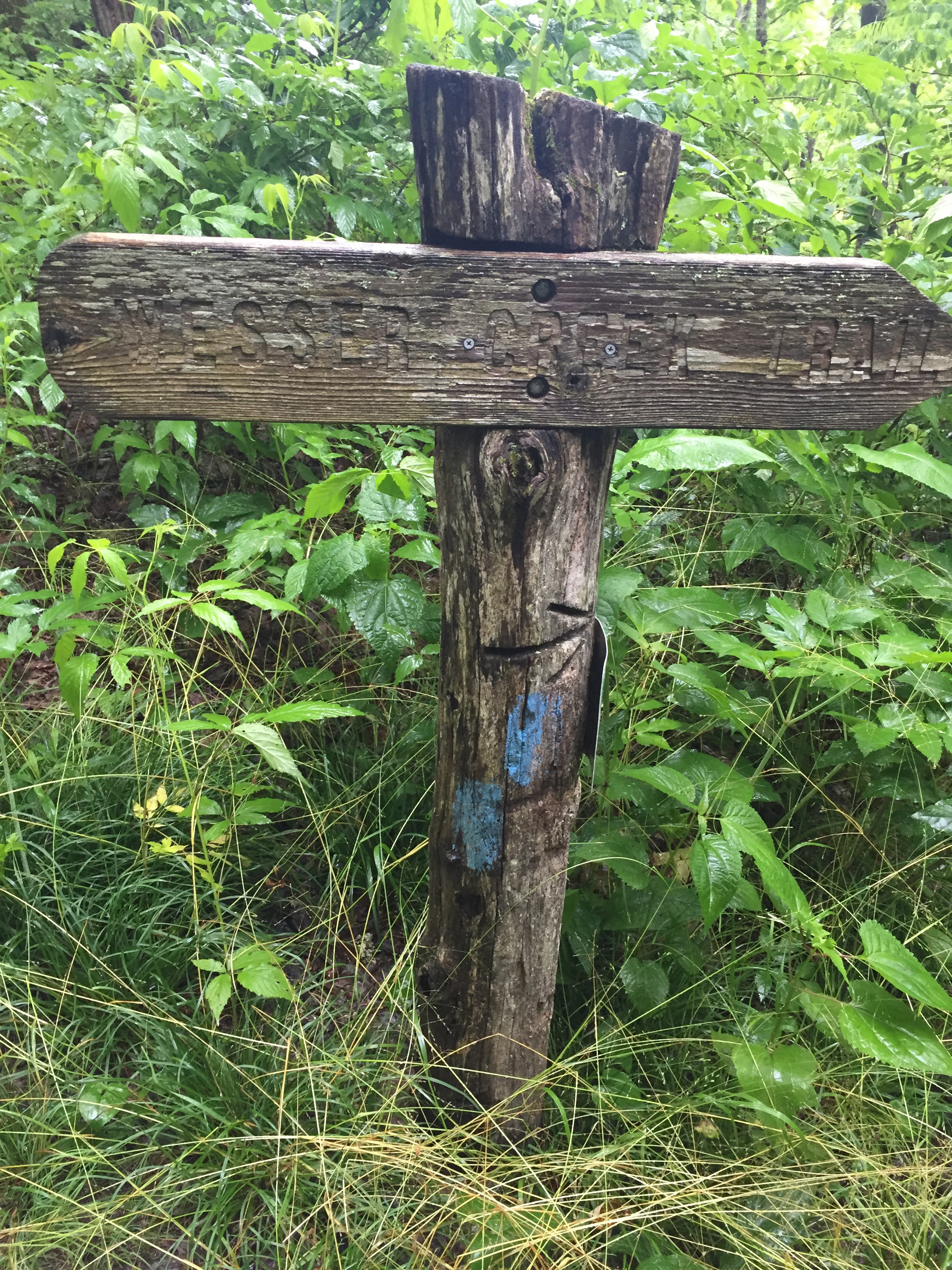
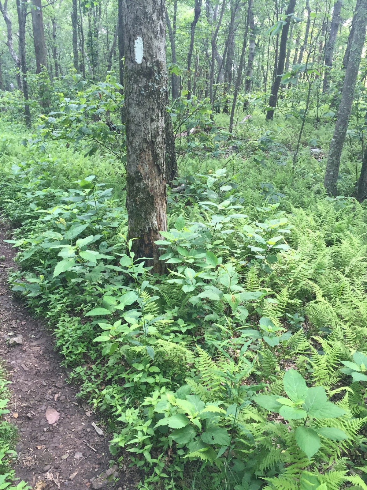
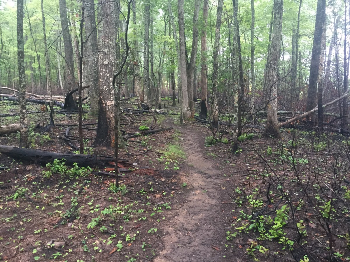
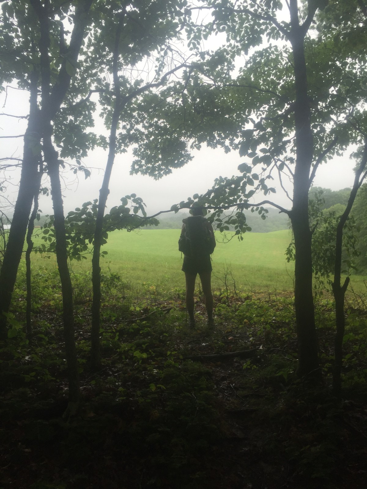
Our trip started with a road walk, but then we headed up into the woods. 


Our plan was to stop at the first campsite we found, once we got far enough into the woods that we both felt comfortable. 

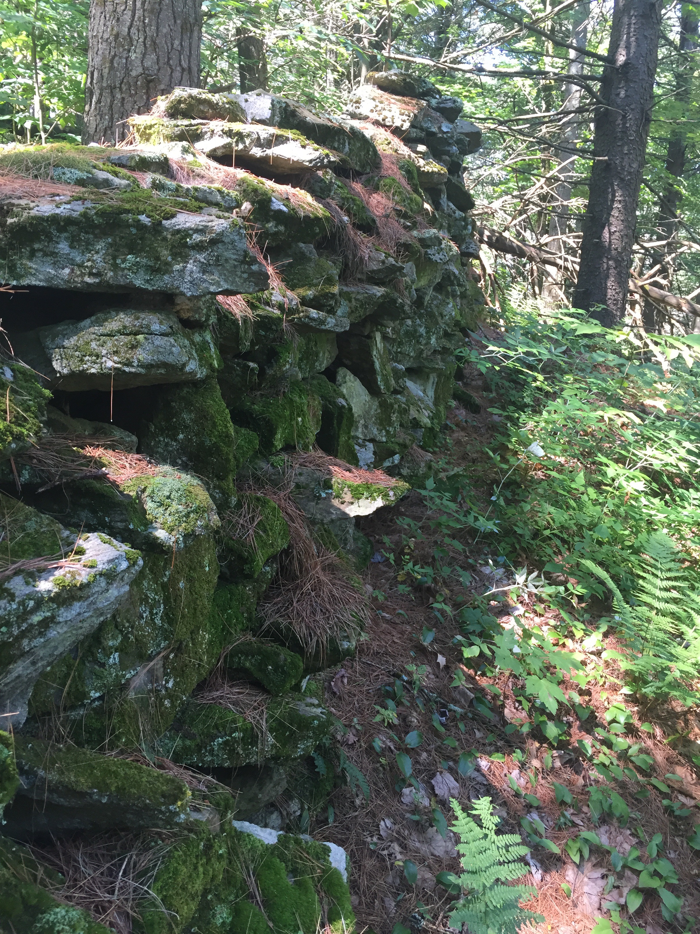
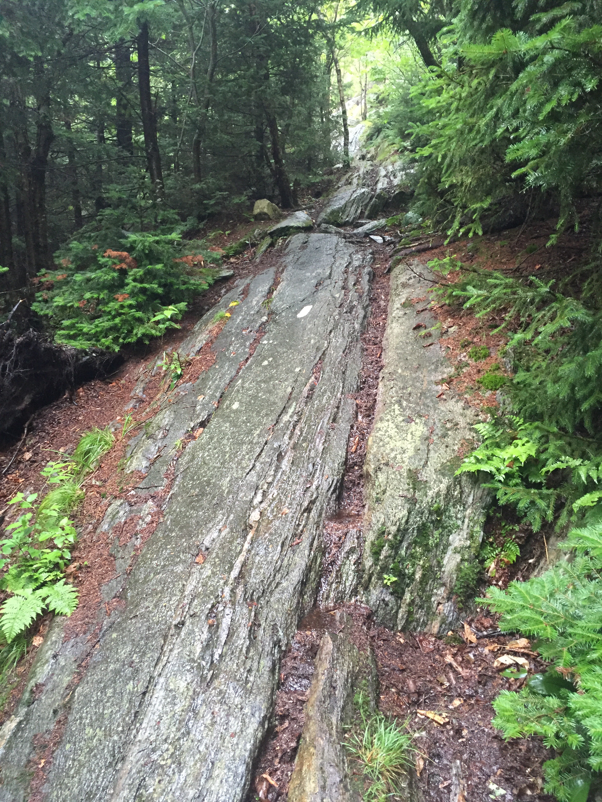
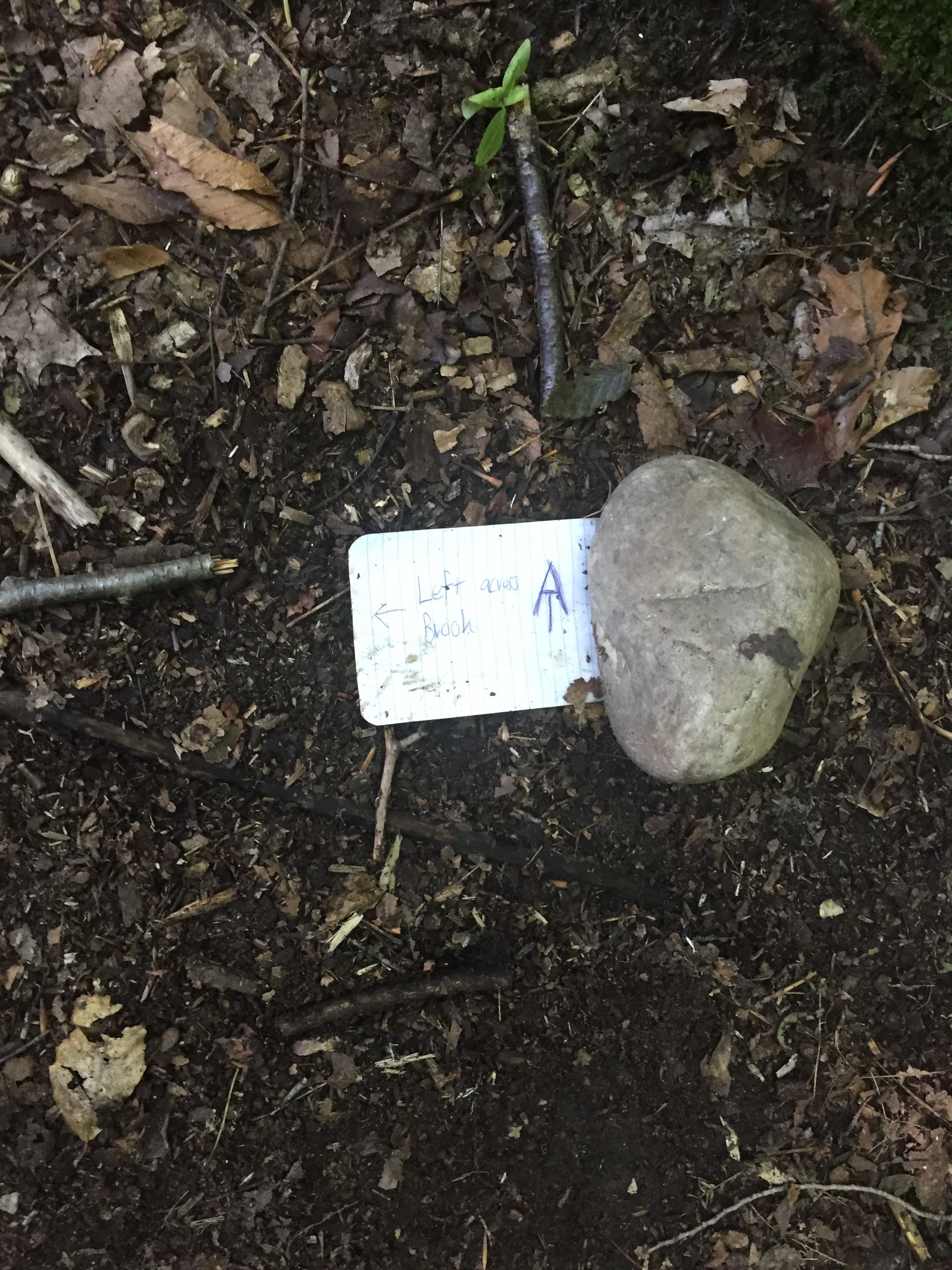
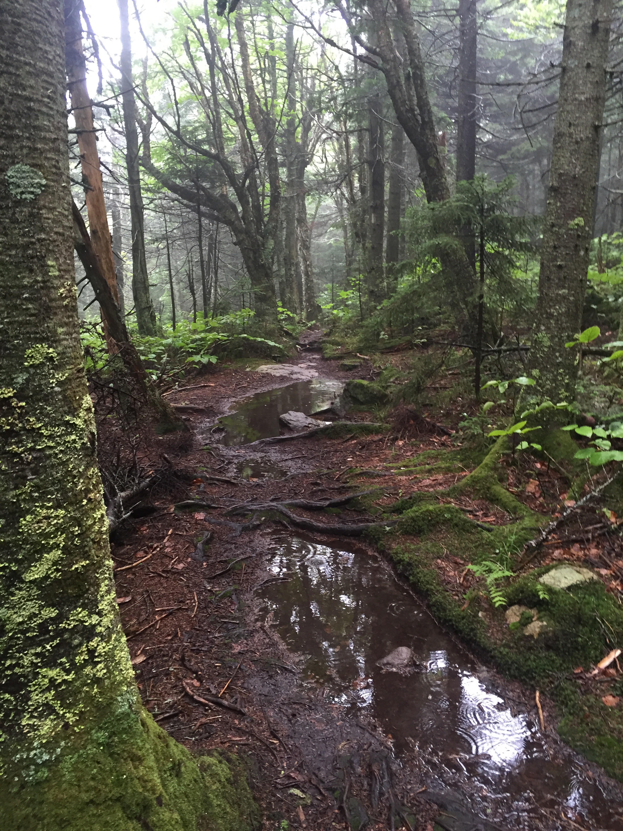
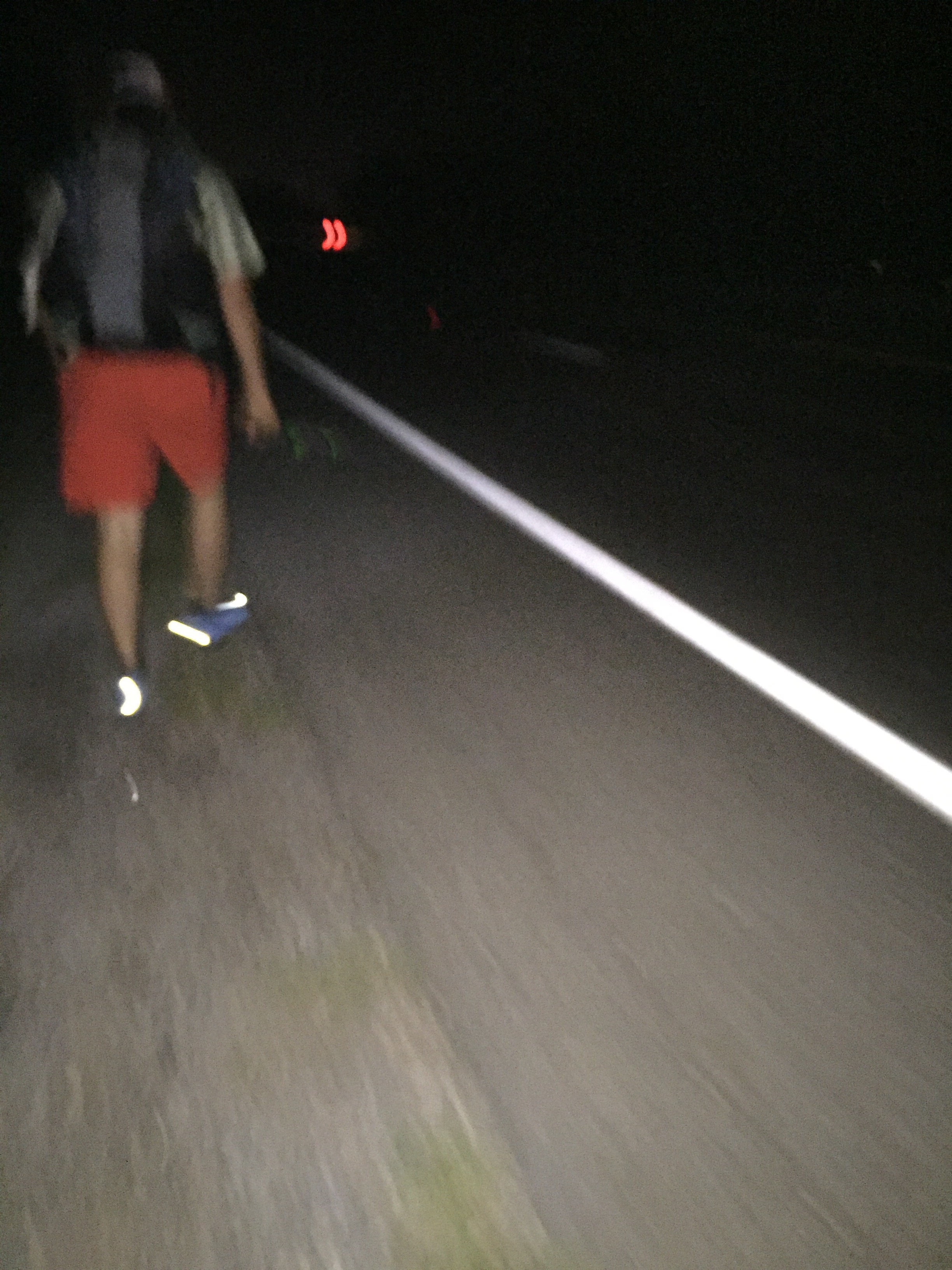
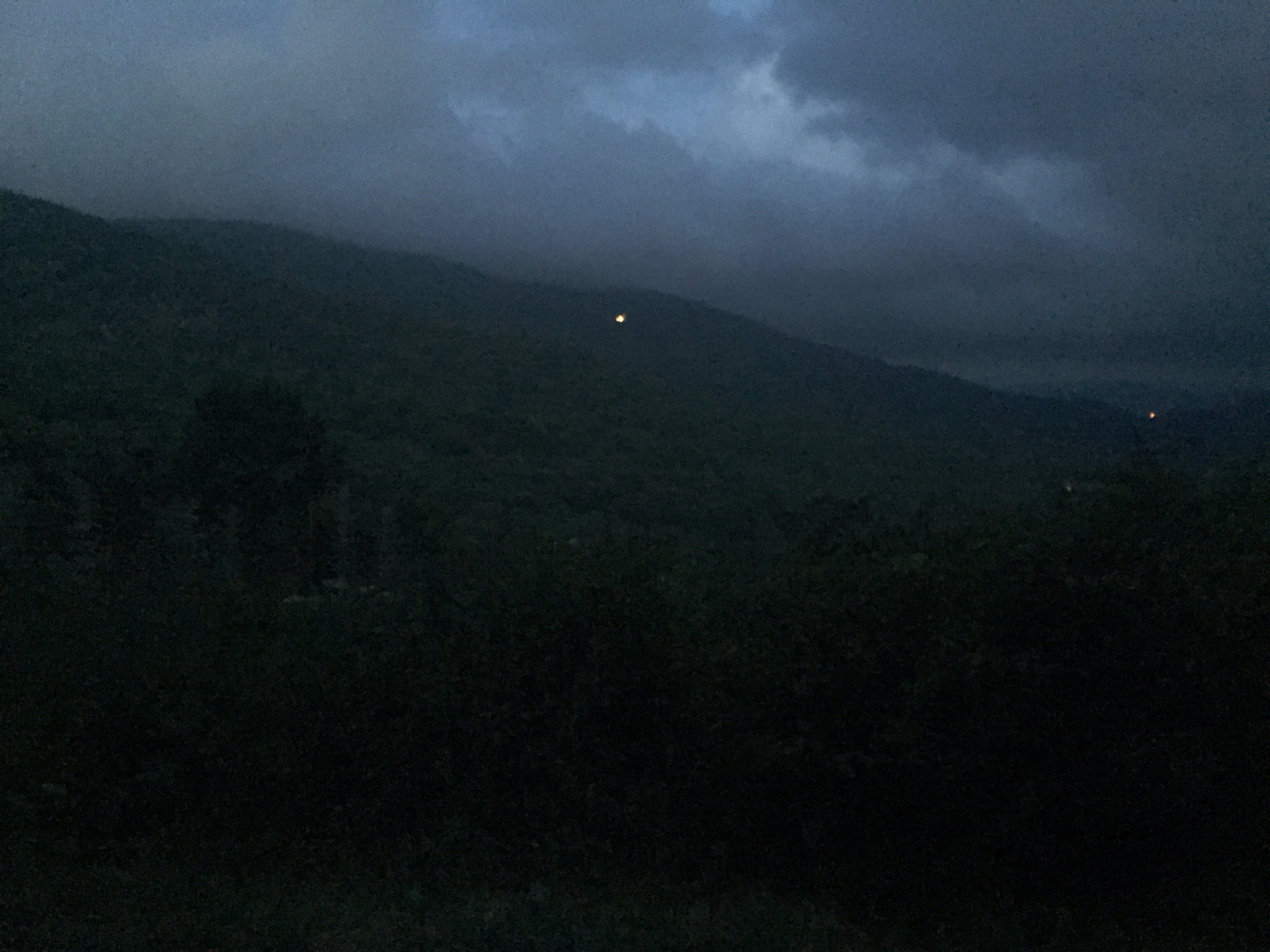
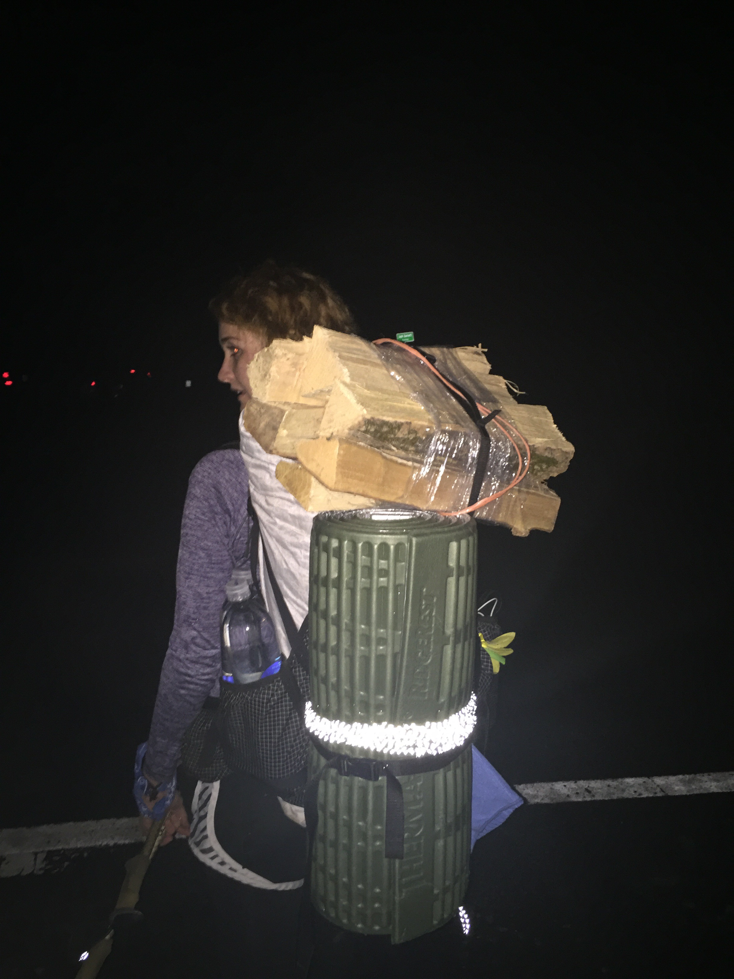
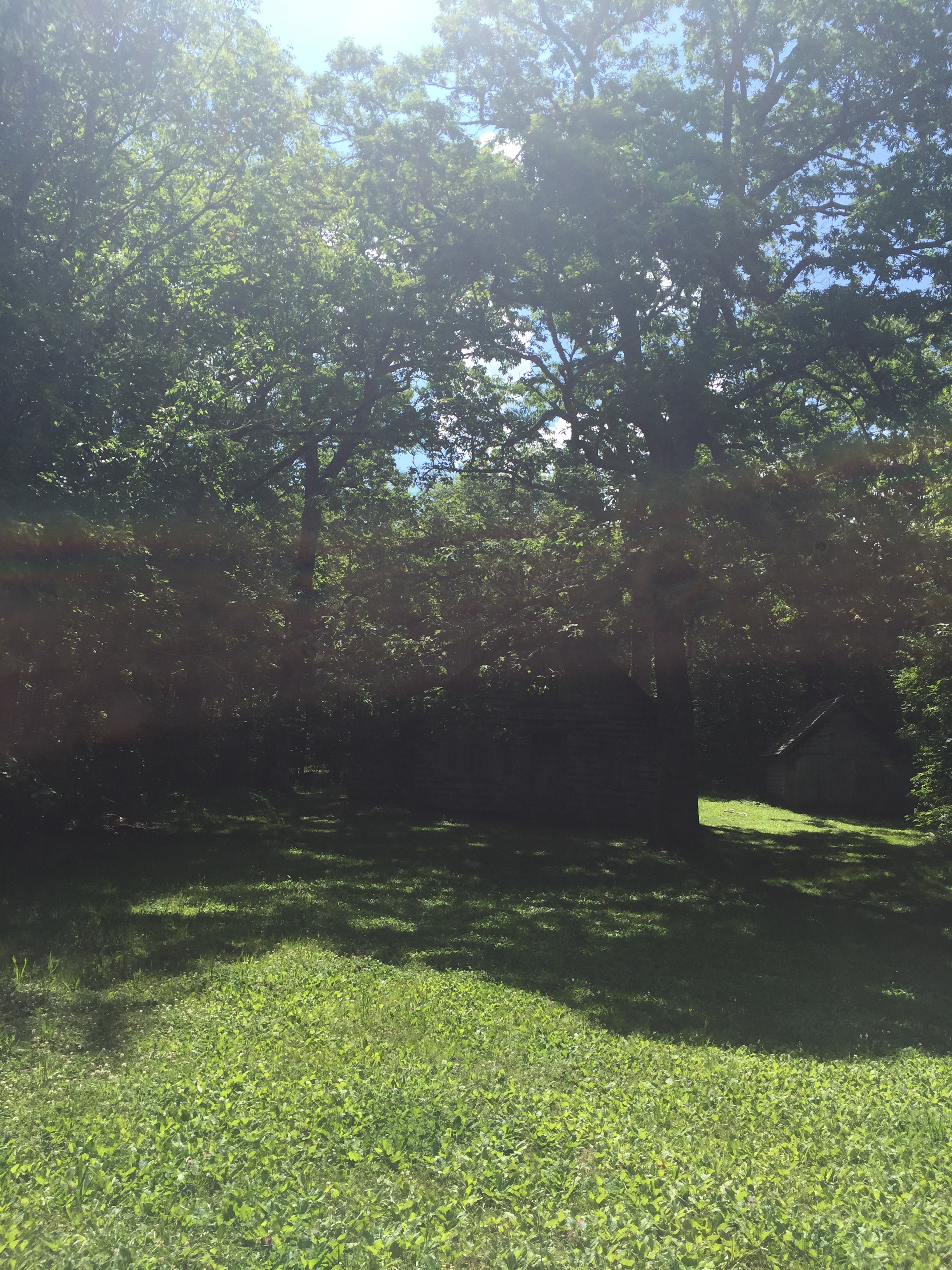
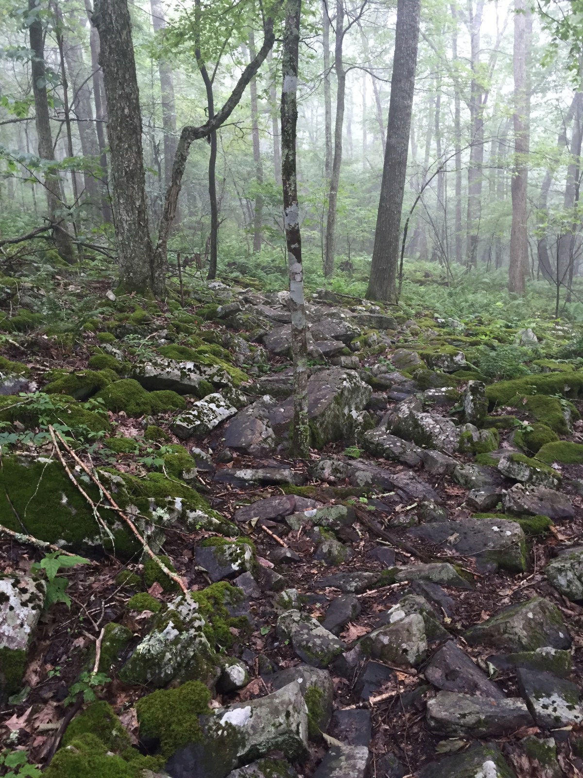
Well, that was easy enough: there were no campsites. We walked in the dark for miles (literally miles, in this case). The trail was rocks and snaked around a mountain, with the lights of the town peeking through the trees. We stopped at any promising bit of land, but nothing was even close to flat or clear enough for one tent. We did see a nice huge green lawn, but there were Posted signs all around, so we back off, assuming a private landowner was not fond of hikers. 
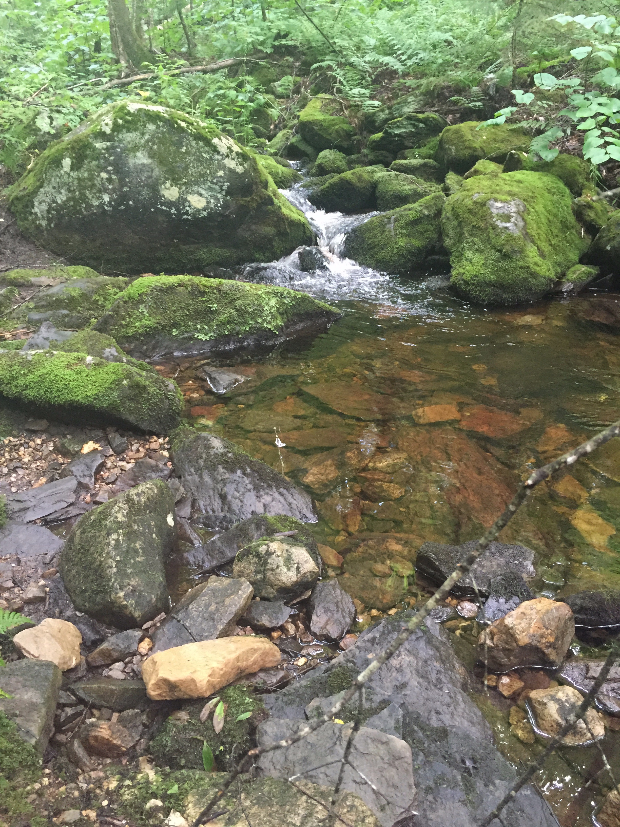
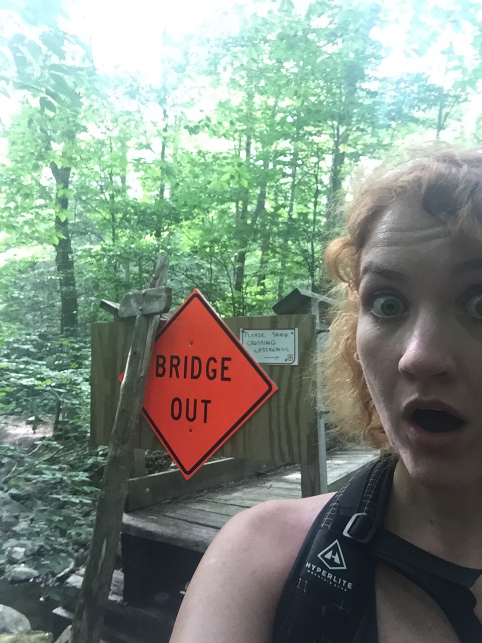
One dirt road crossing was flat, but was next to a stream that was dangerously non-potable water (from a landfill) and Gambit didn’t have a good feeling about it, so we hiked on. 

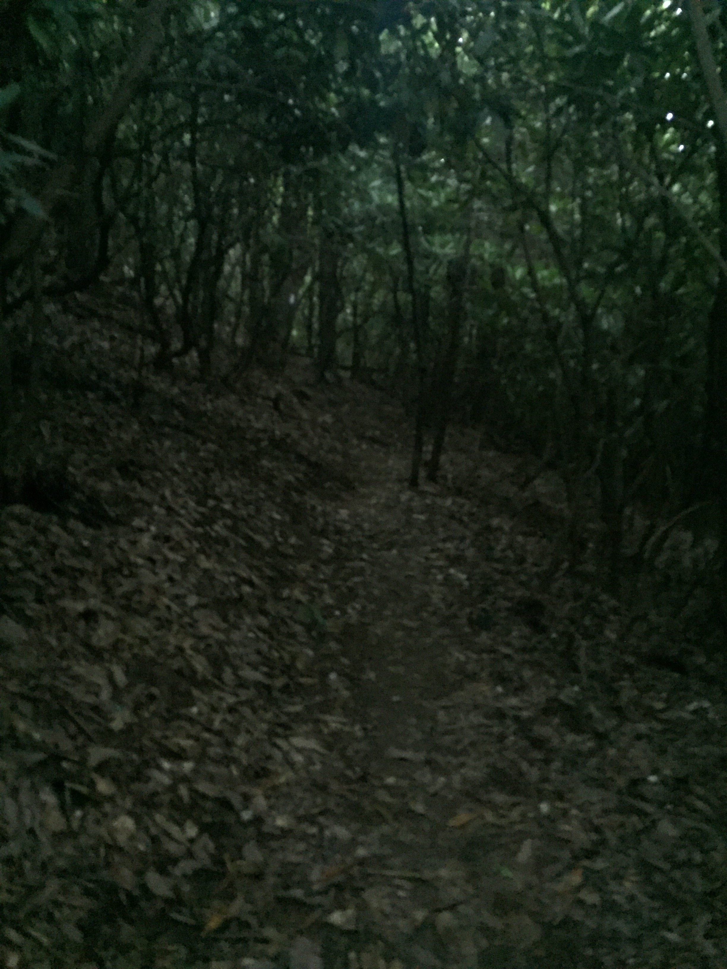
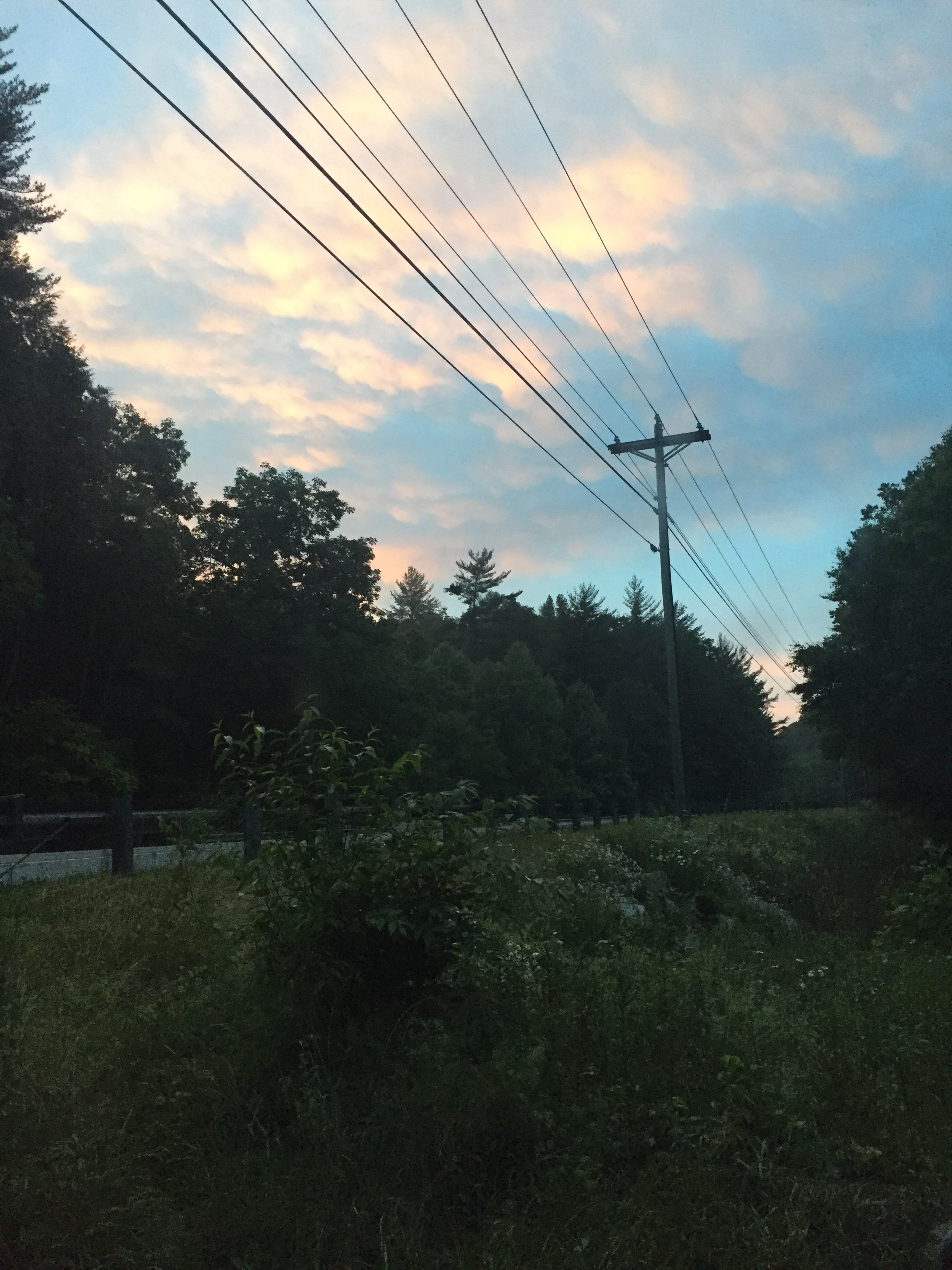
The night was hot and muggy, and we quickly drained liters of water. Fireworks shot off in the distance, and spider eyes quivered in the reflection of our headlamps. 

At 1:30am, we were pretty much committed to simply walking all the way to the first shelter and just hoping we could sneak in to a tent site there. It would be a 5 mile night hike. There was nothing marked on the map, and the trail didn’t look like it was going to offer anything for us. 

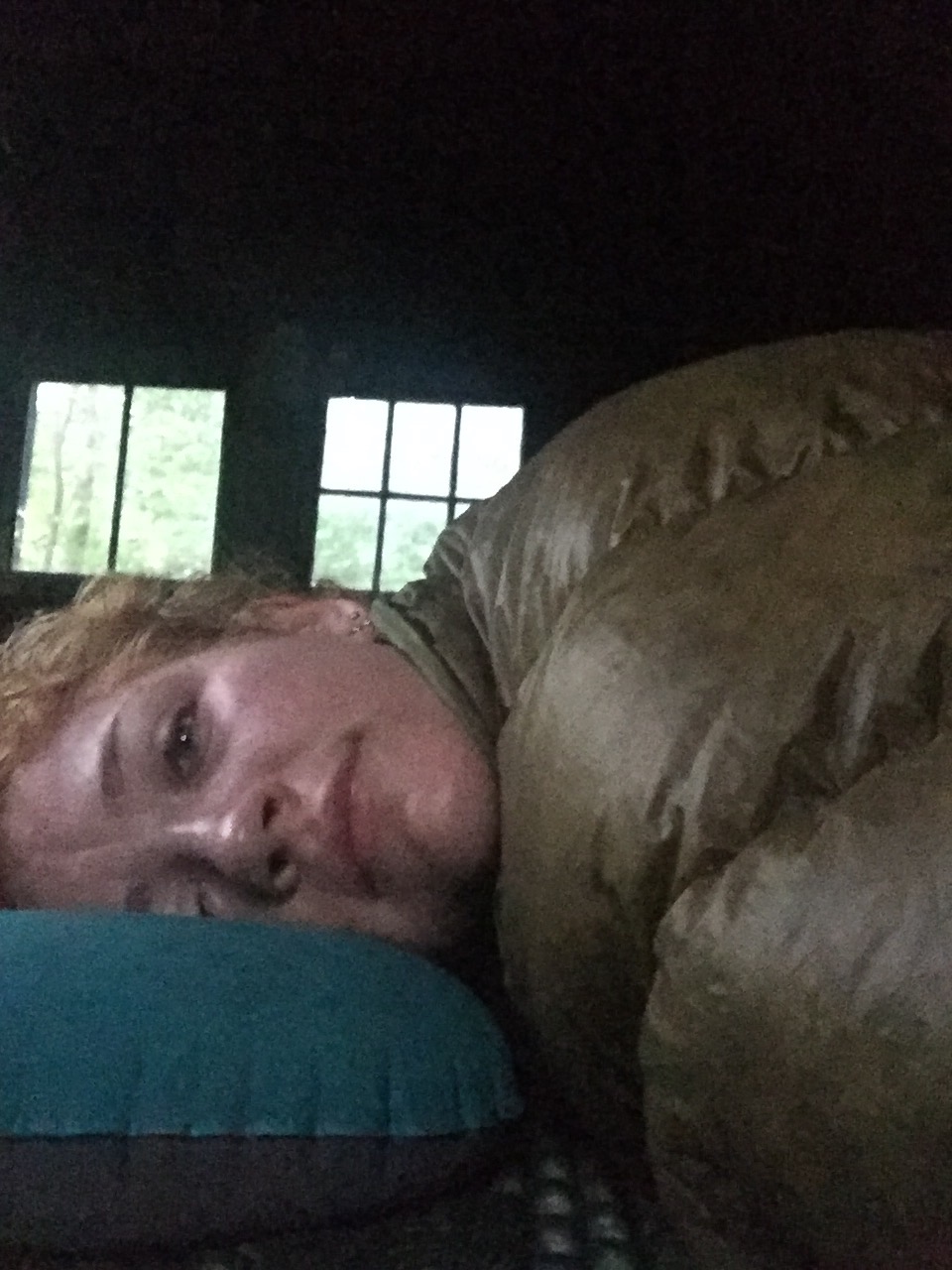
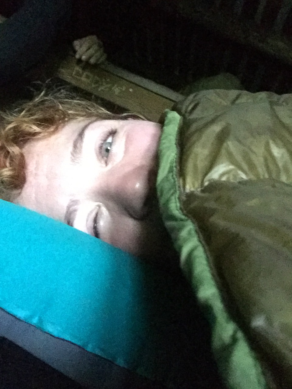
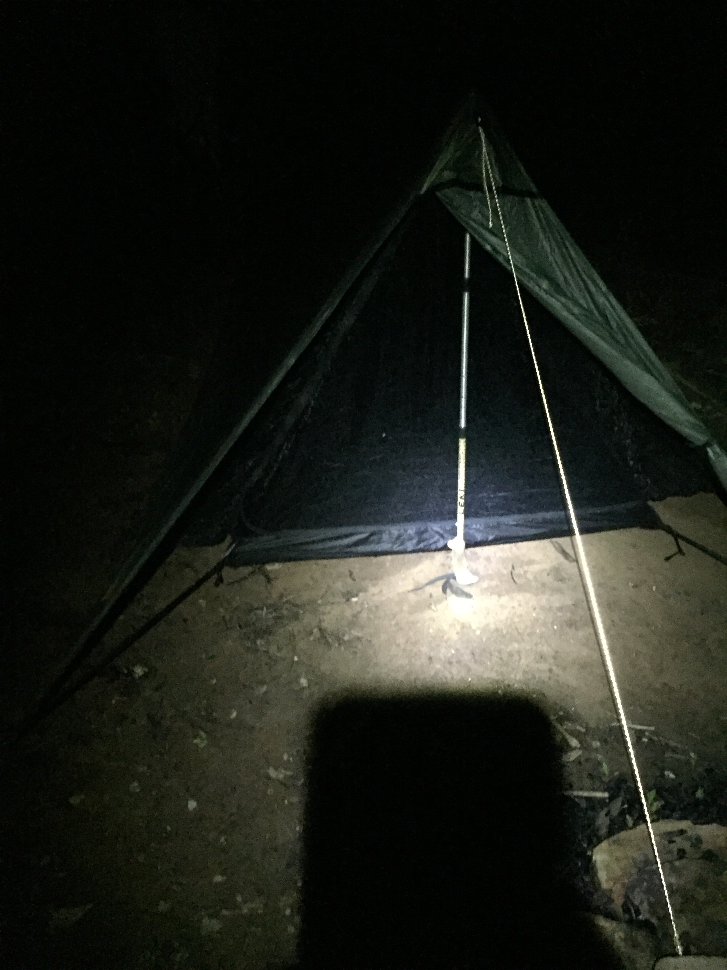
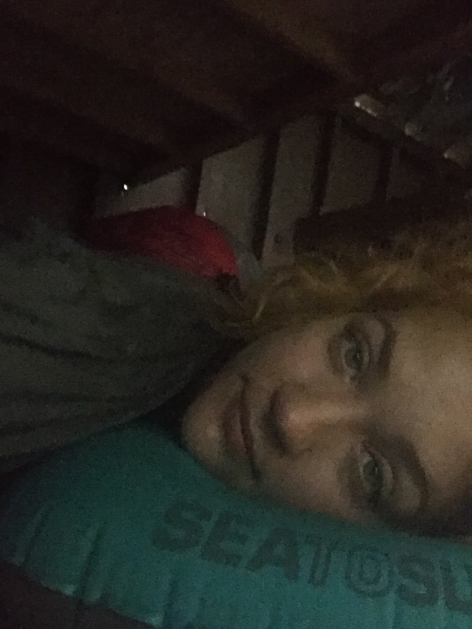
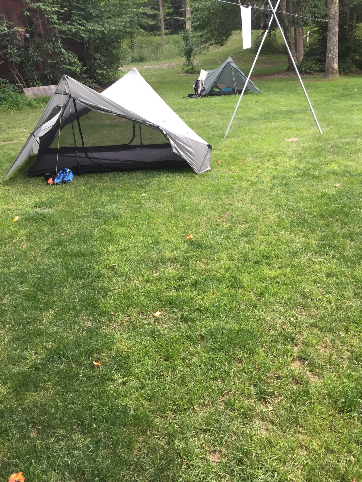
The next road crossing, however, did have an established stealth campsite. We set up our tents, and before Gambit could even get his sleeping pad blown up, I was in my tent and snoring. He informed me that I soon stopped, and settled in to a quieter sleep.


MVP: water

LVP: private landowners 
Miles: ~5
*****
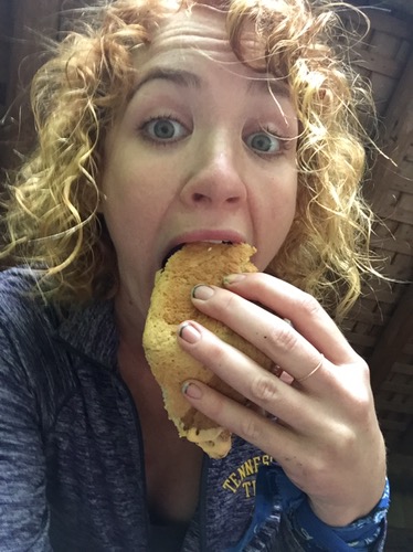
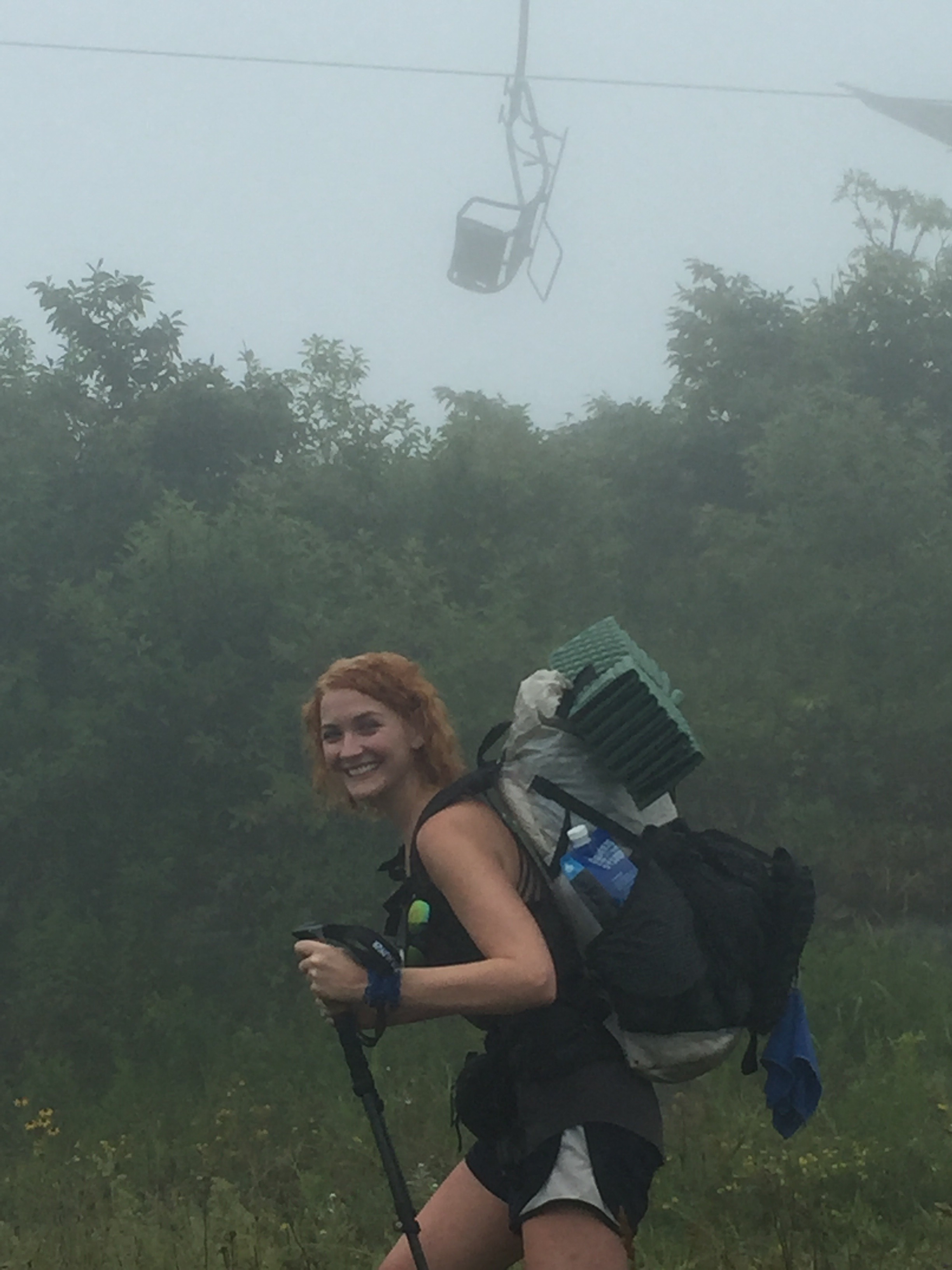
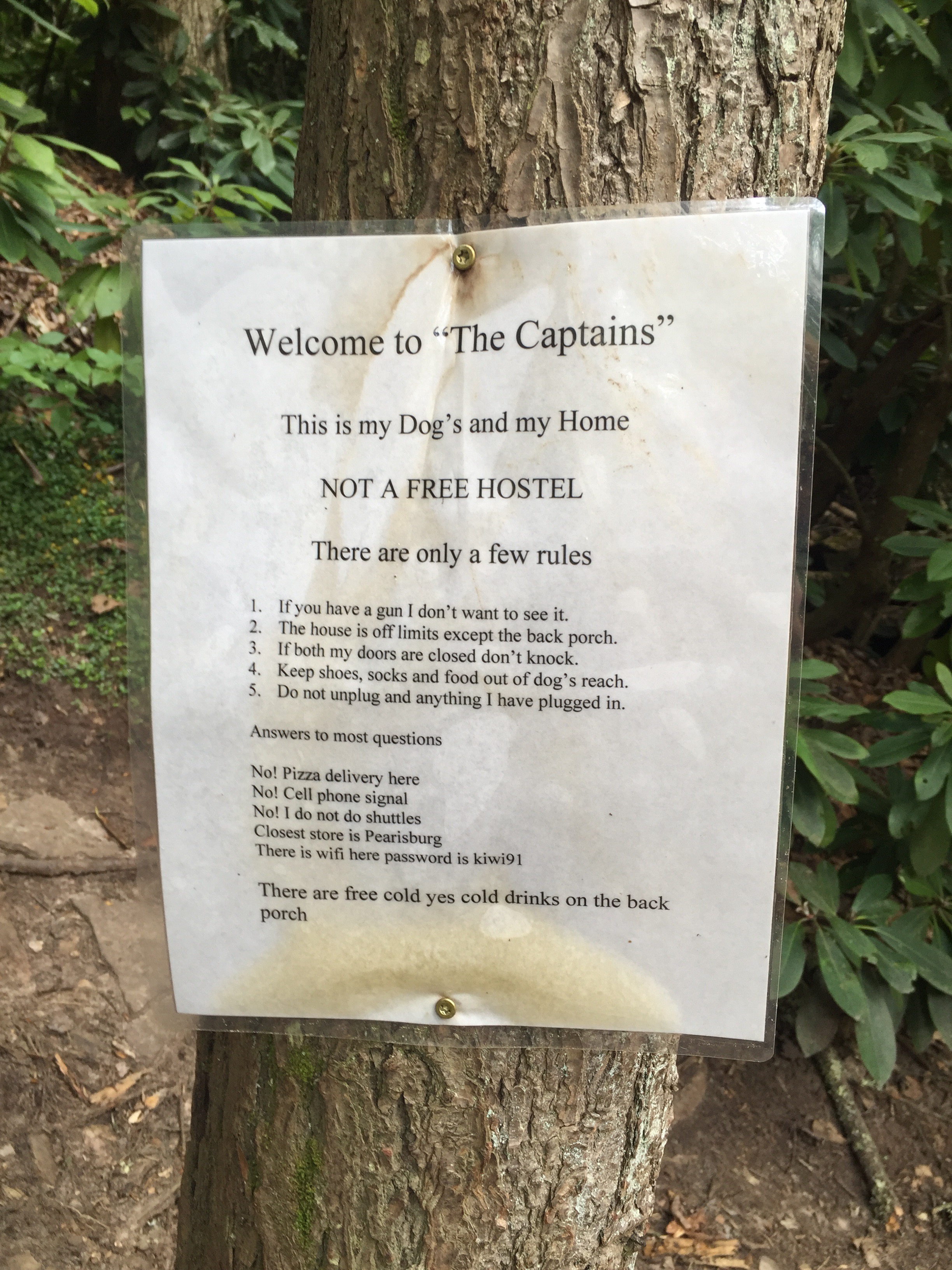
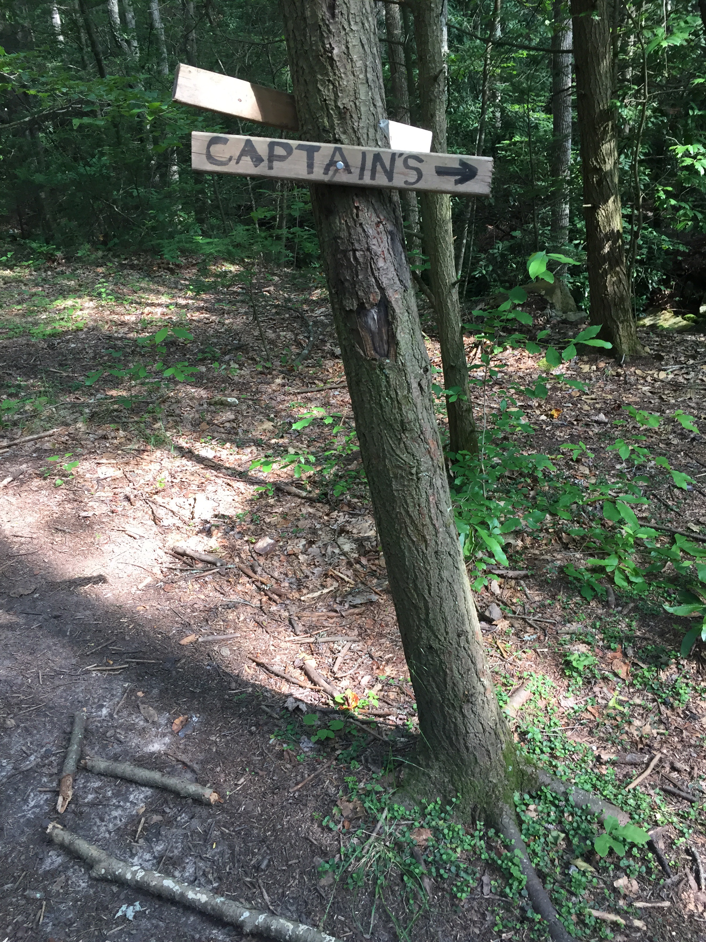
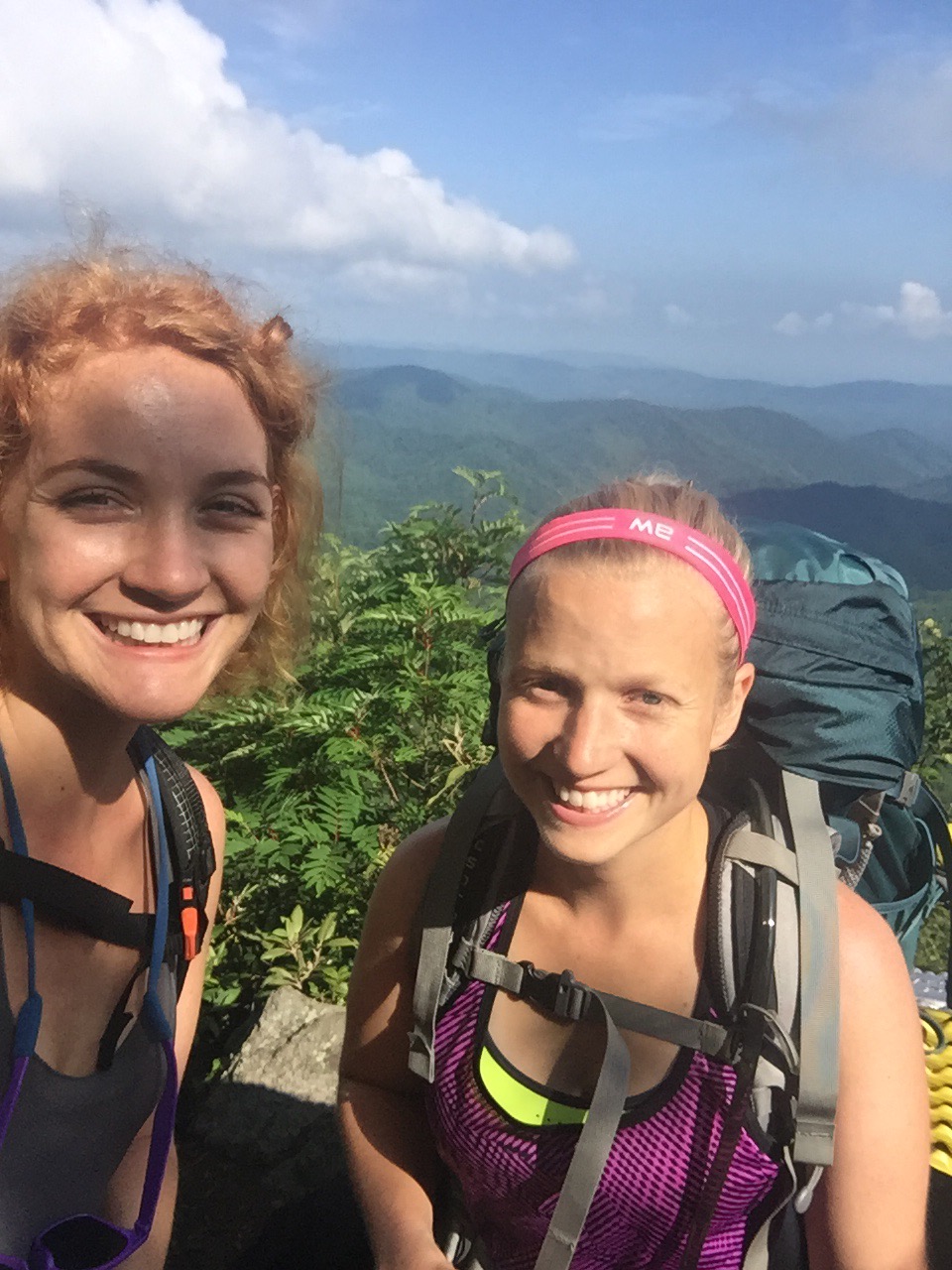
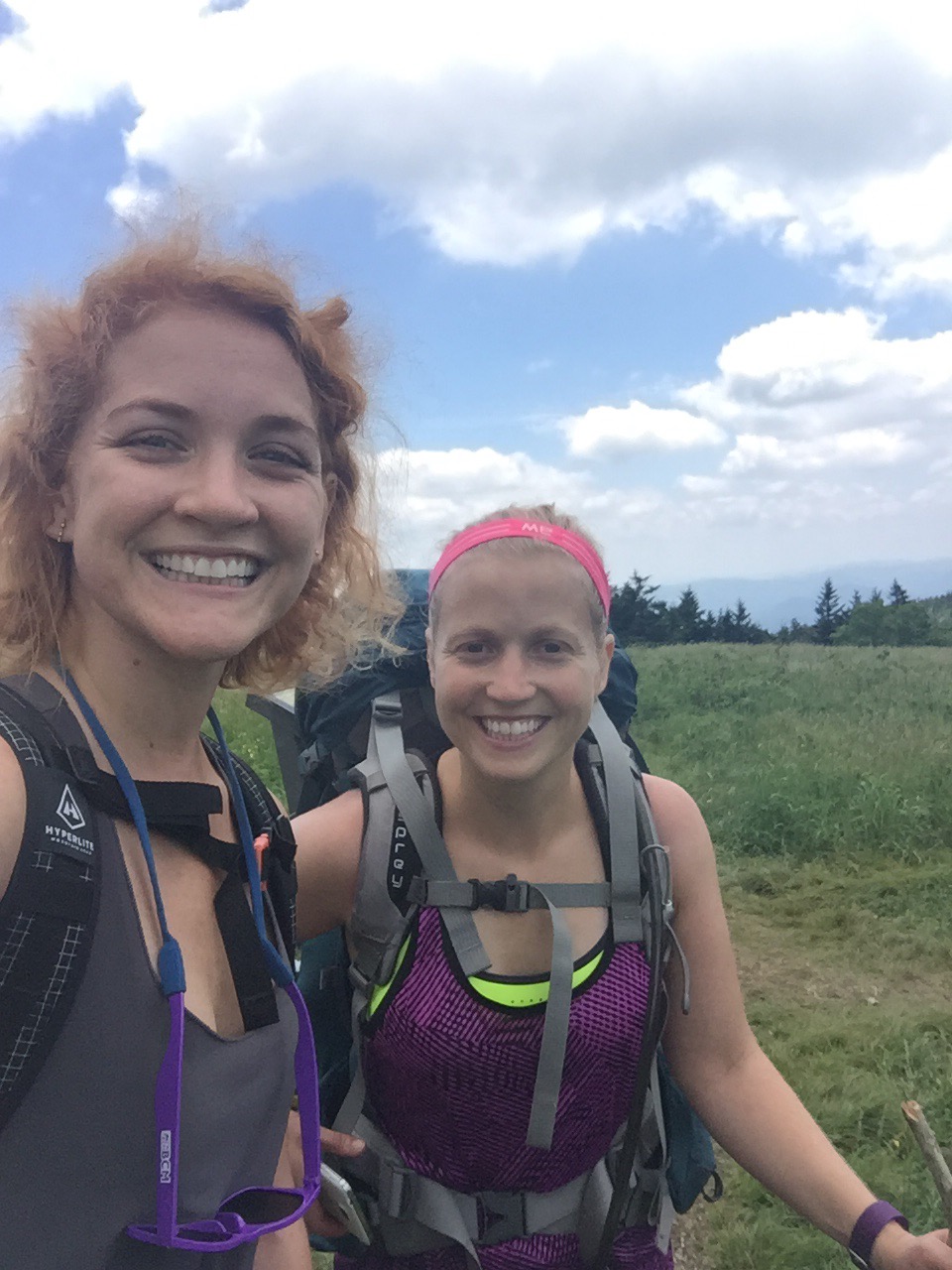
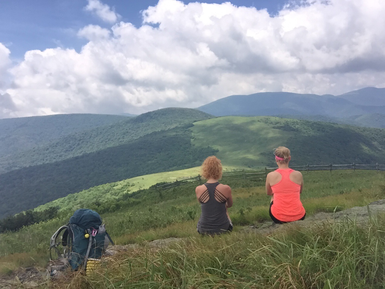
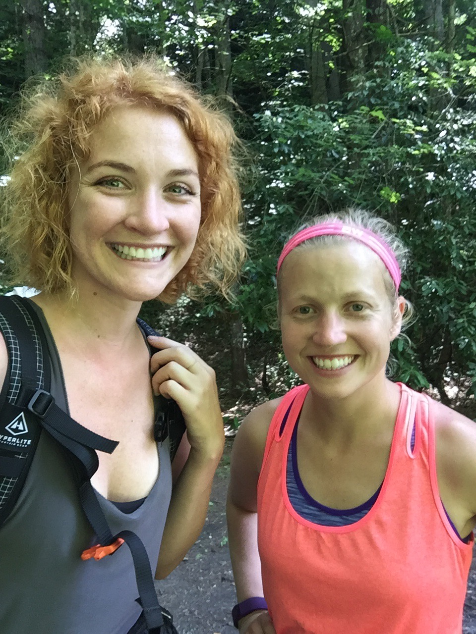
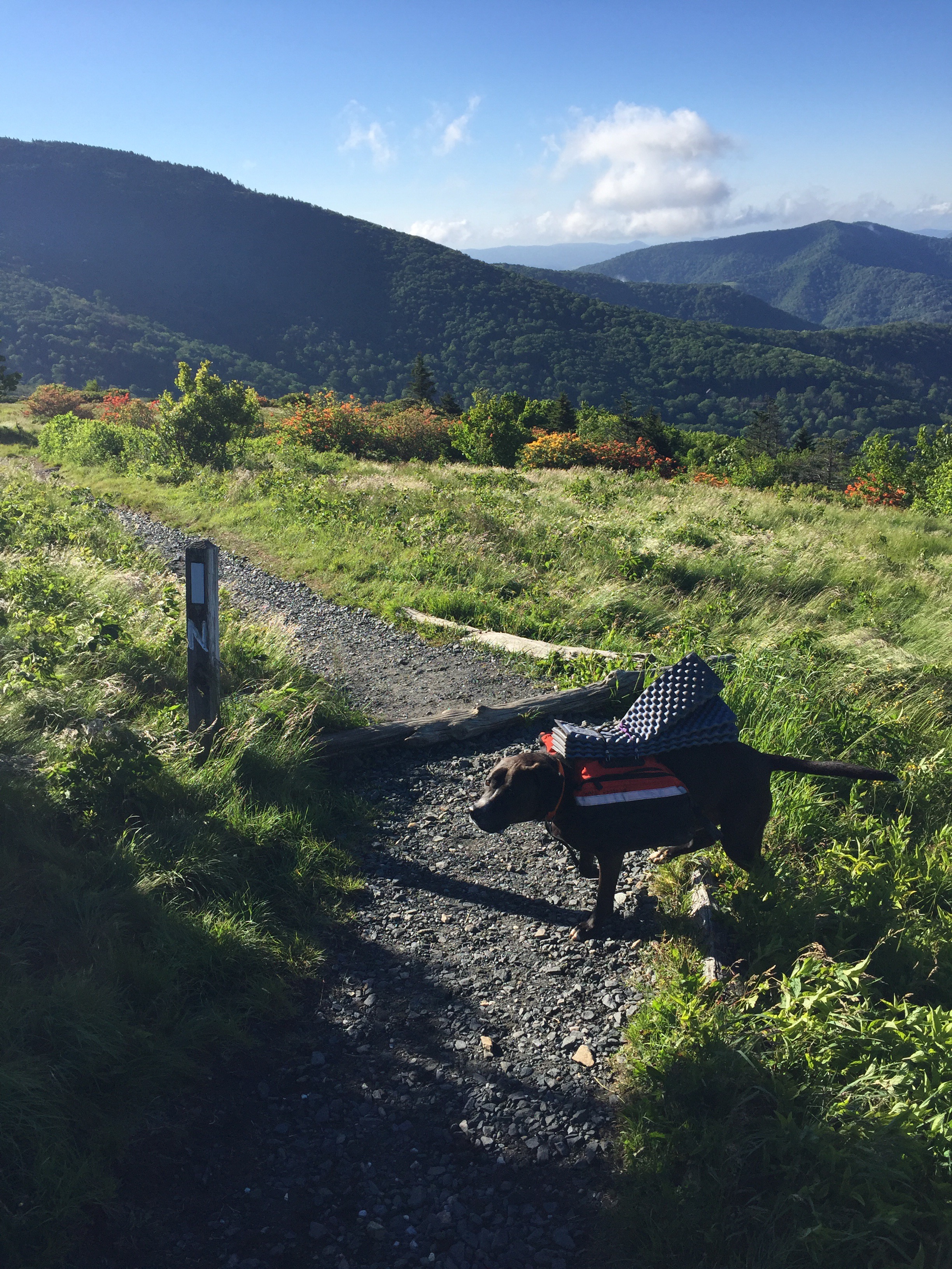
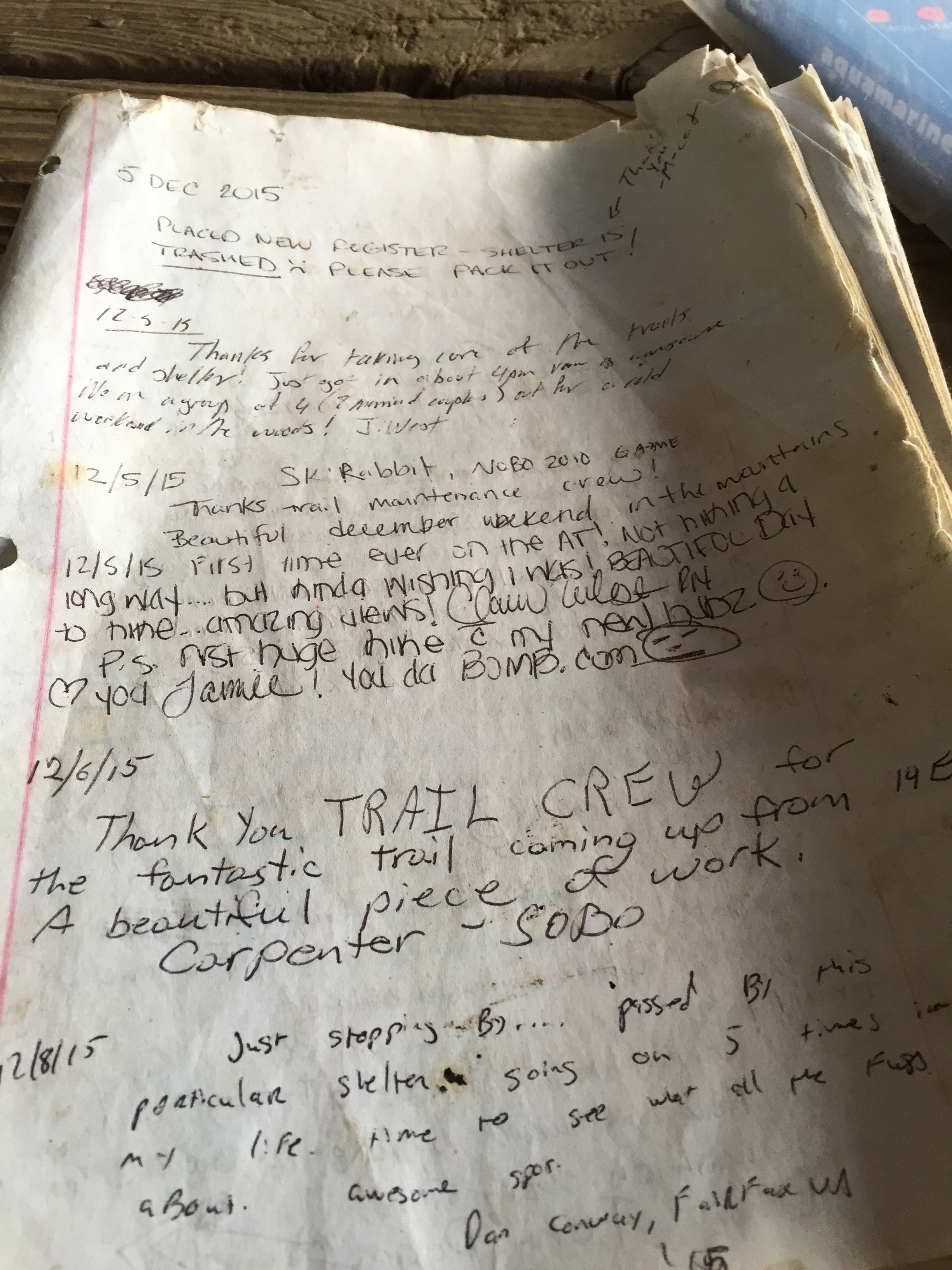
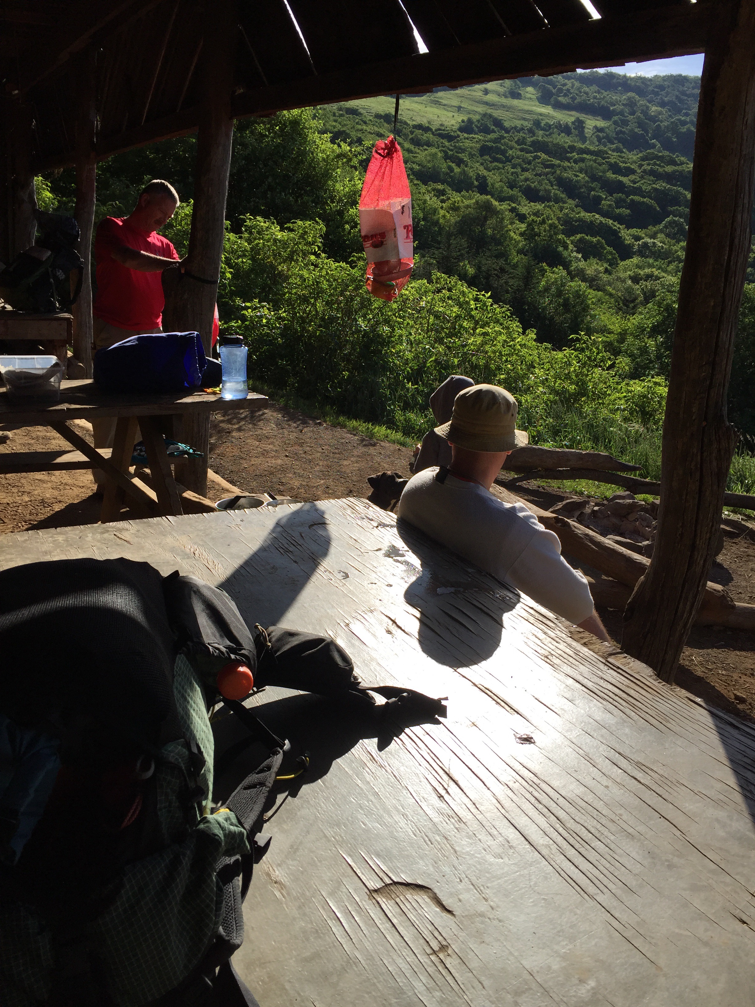
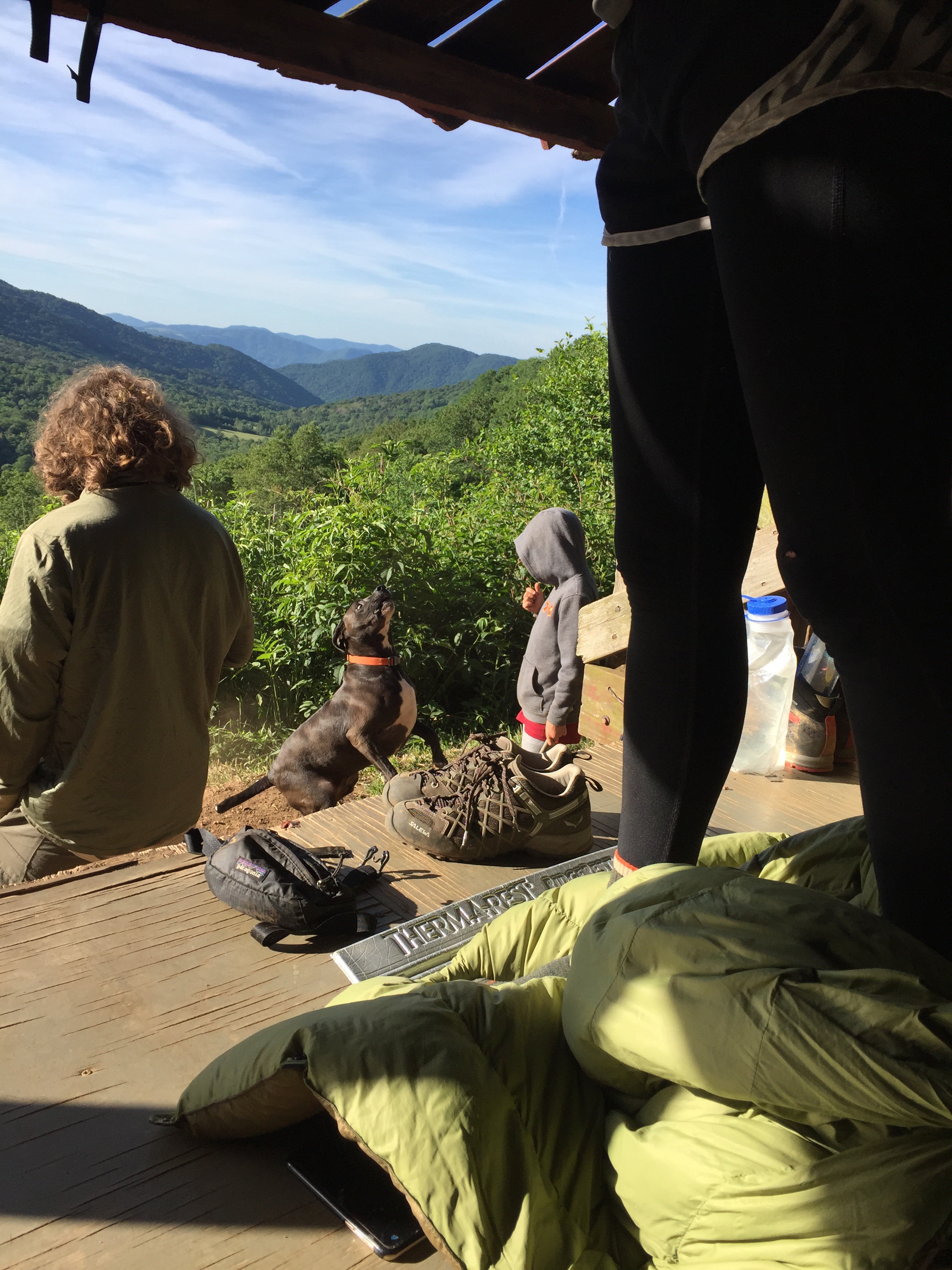
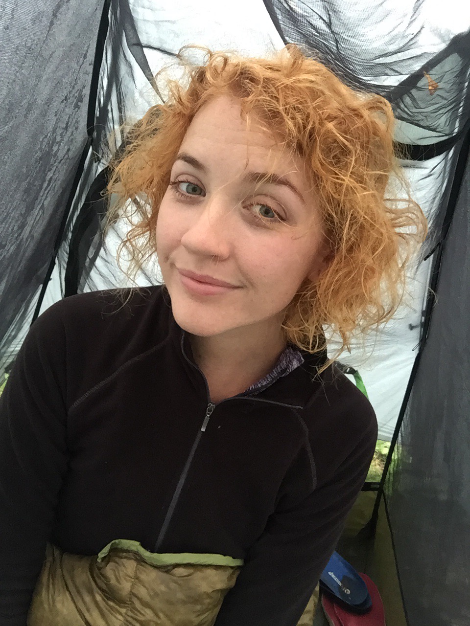
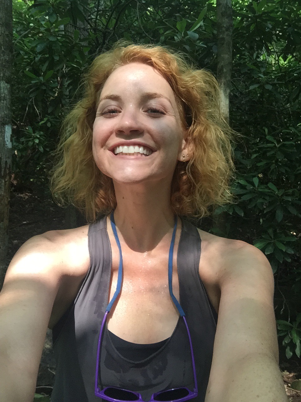
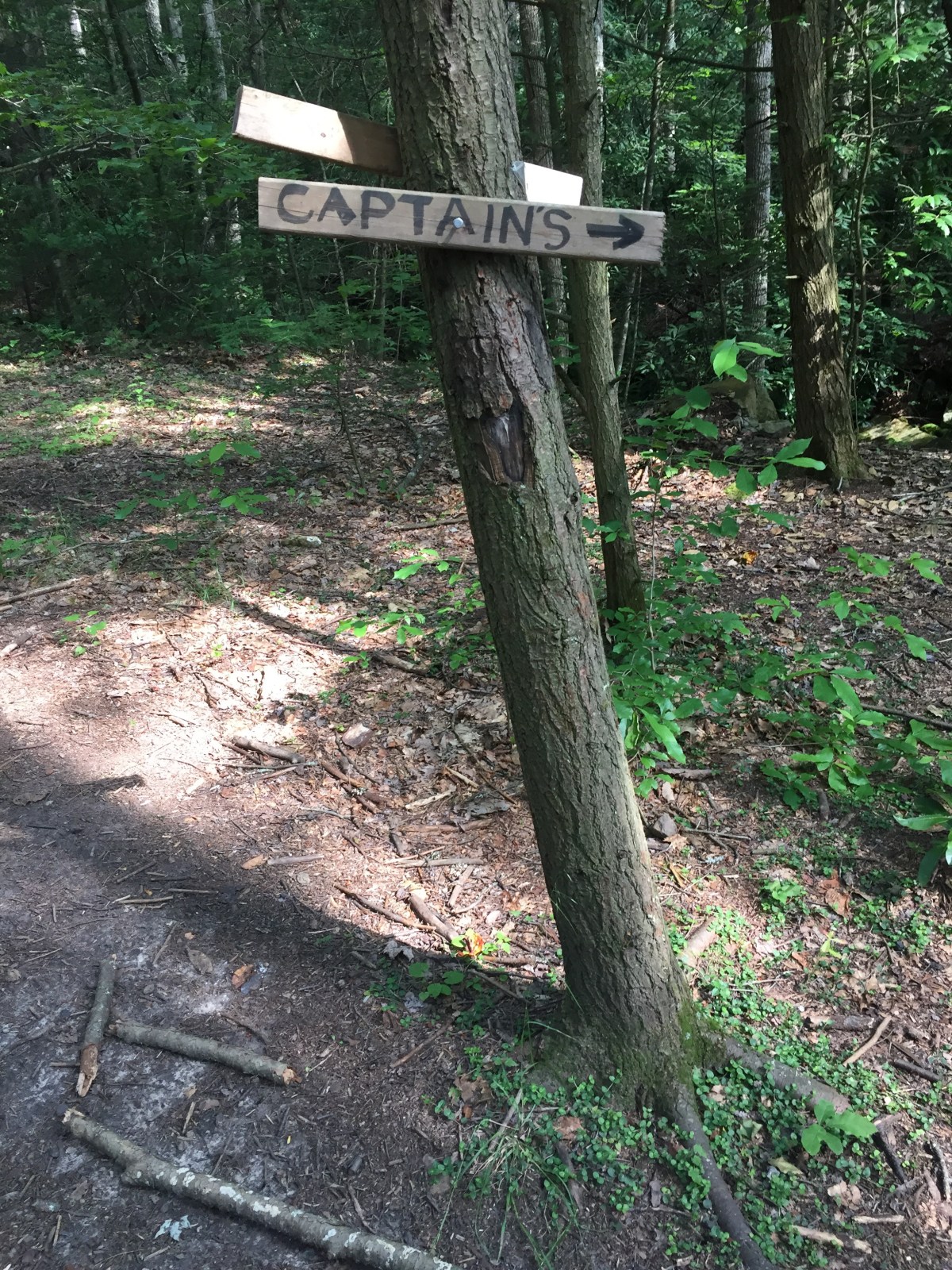
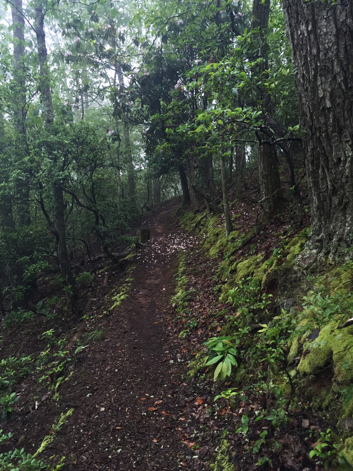
I woke up refreshed and hungry. I ate powdered donuts in bed, then had a bag of Doritos while I watched Gambit pack up, and then we hit the trail. Since we’d hiked so much farther than we’d intended to last night, our trip today was shorter. The trail was mostly sweet and flat. We stopped at Rice Field shelter for a break, and that’s when we met Lead Dog. She was out for a training hike before a trip to New Hampshire to finish up some miles. She was a local, and she filled us in on the Posted signs, the Captain, the recent re-route of the trail, and all manner of other things. She was full of energy and information and I liked her immediately. 

We chatted for a bit and then she continued on her way for her out-and-back. We would see her again. 
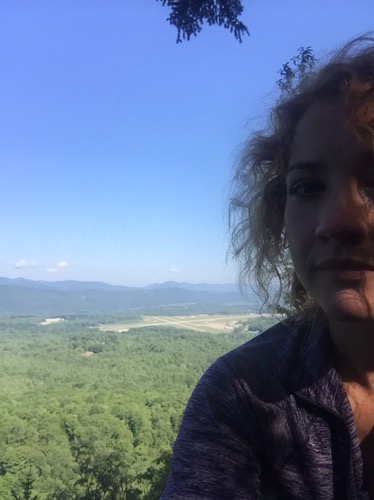
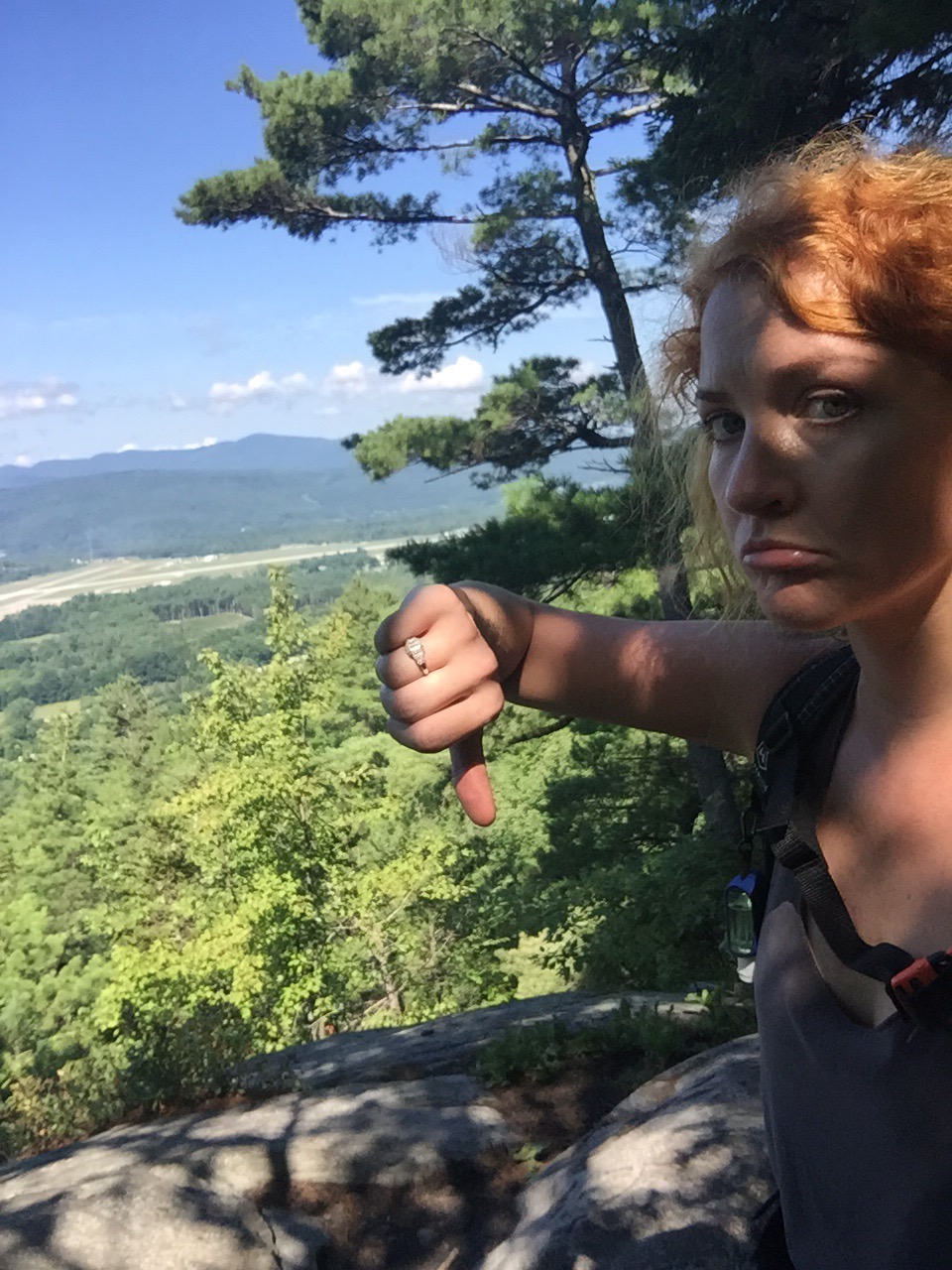
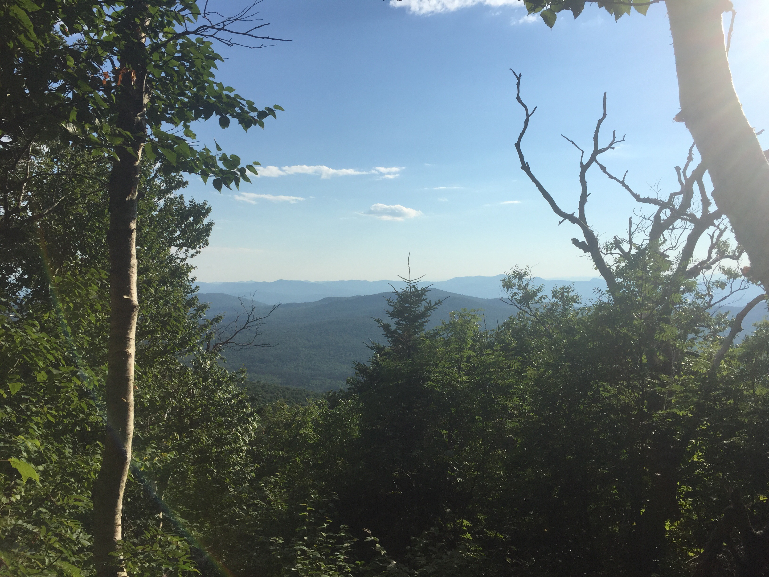
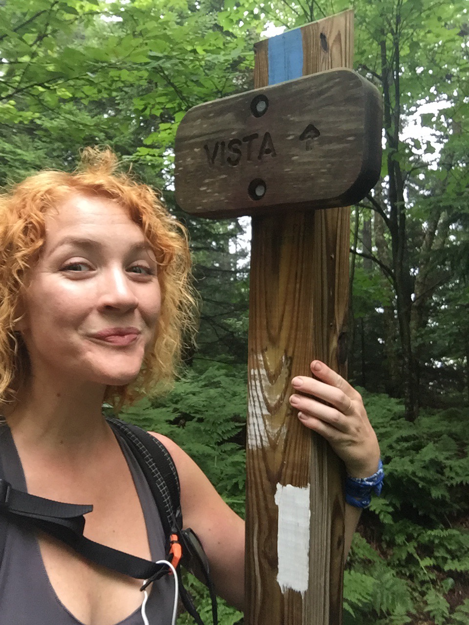
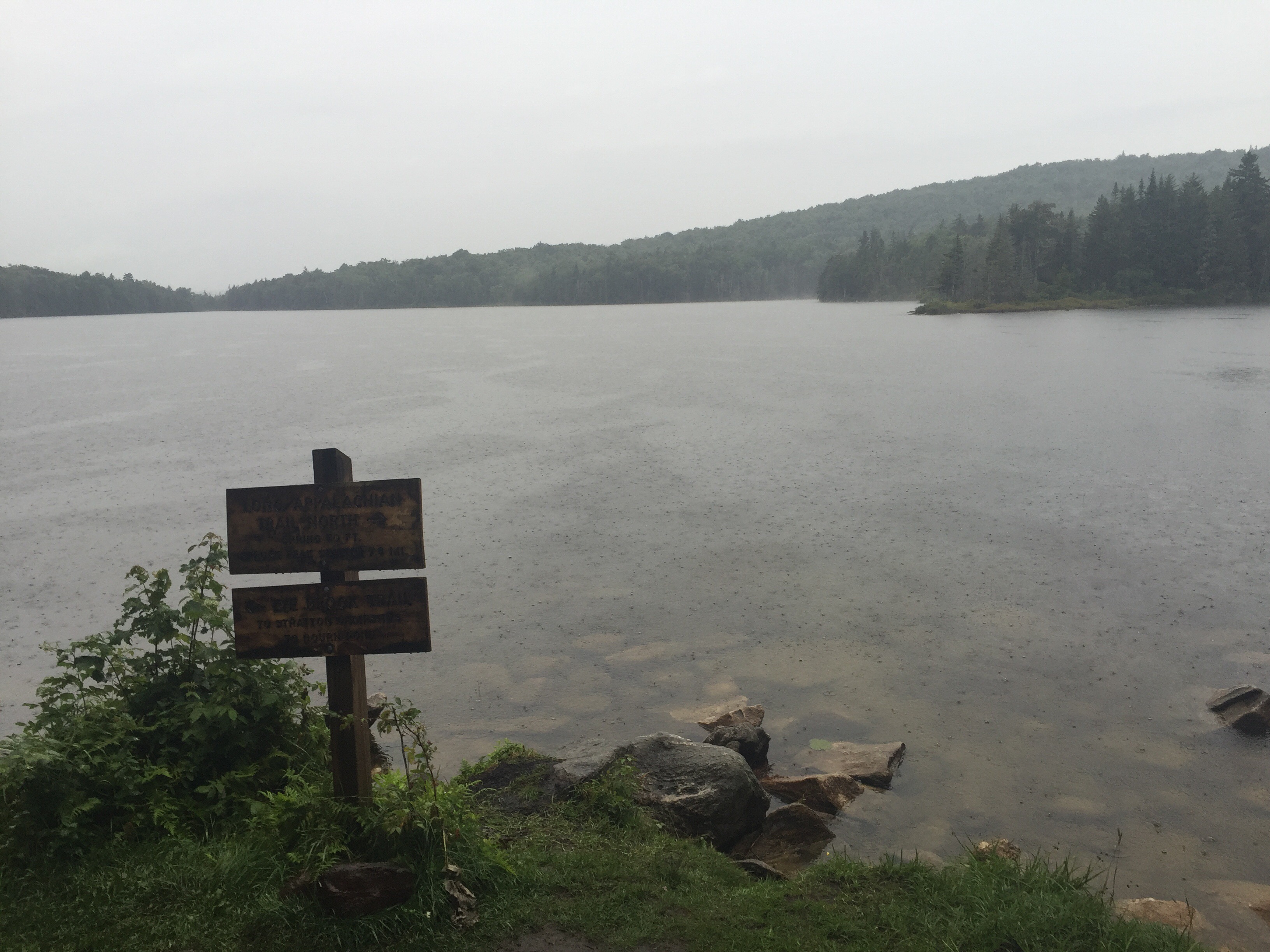
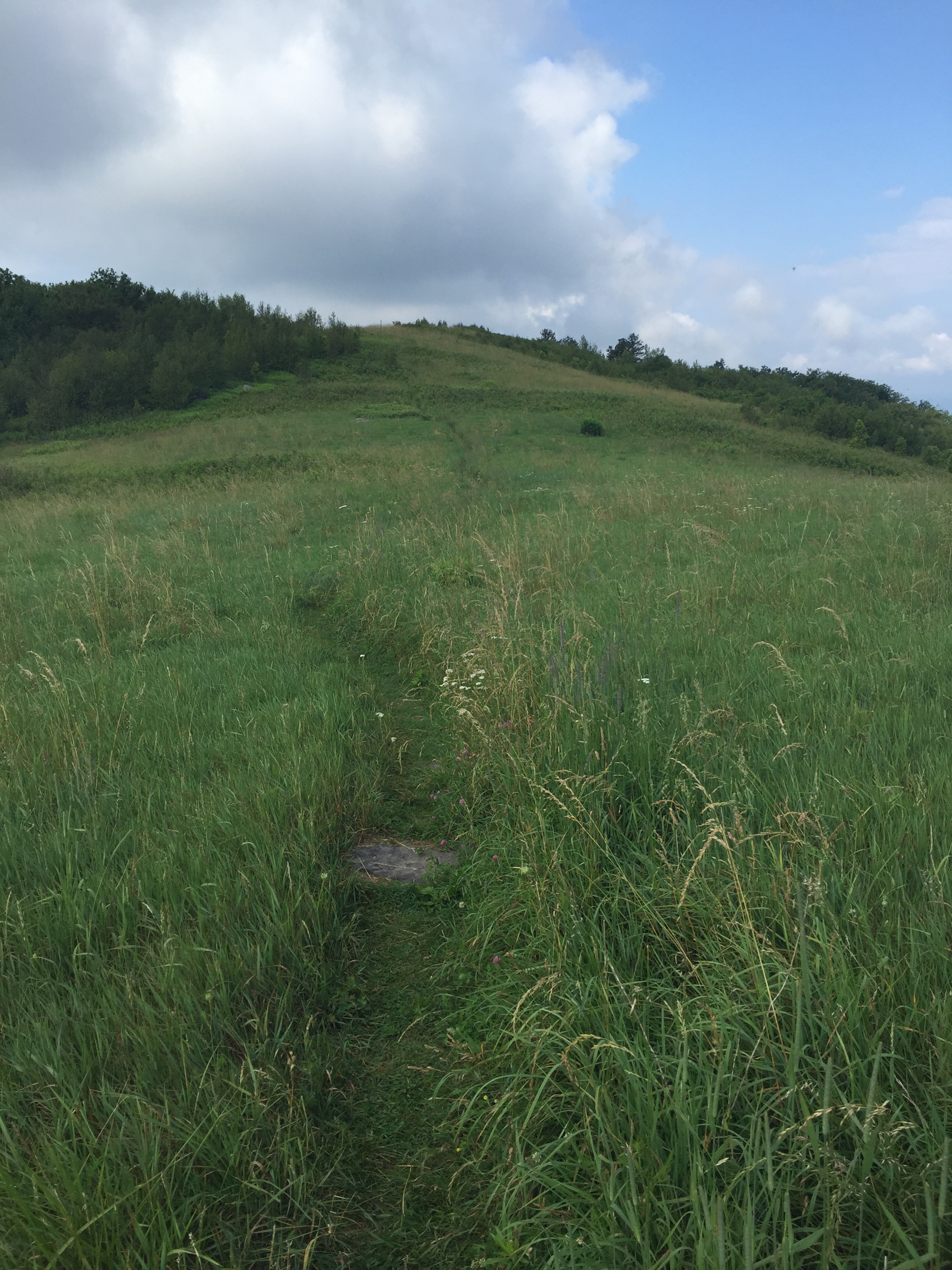
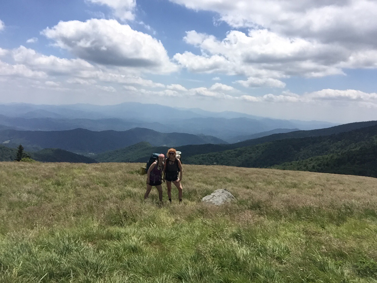
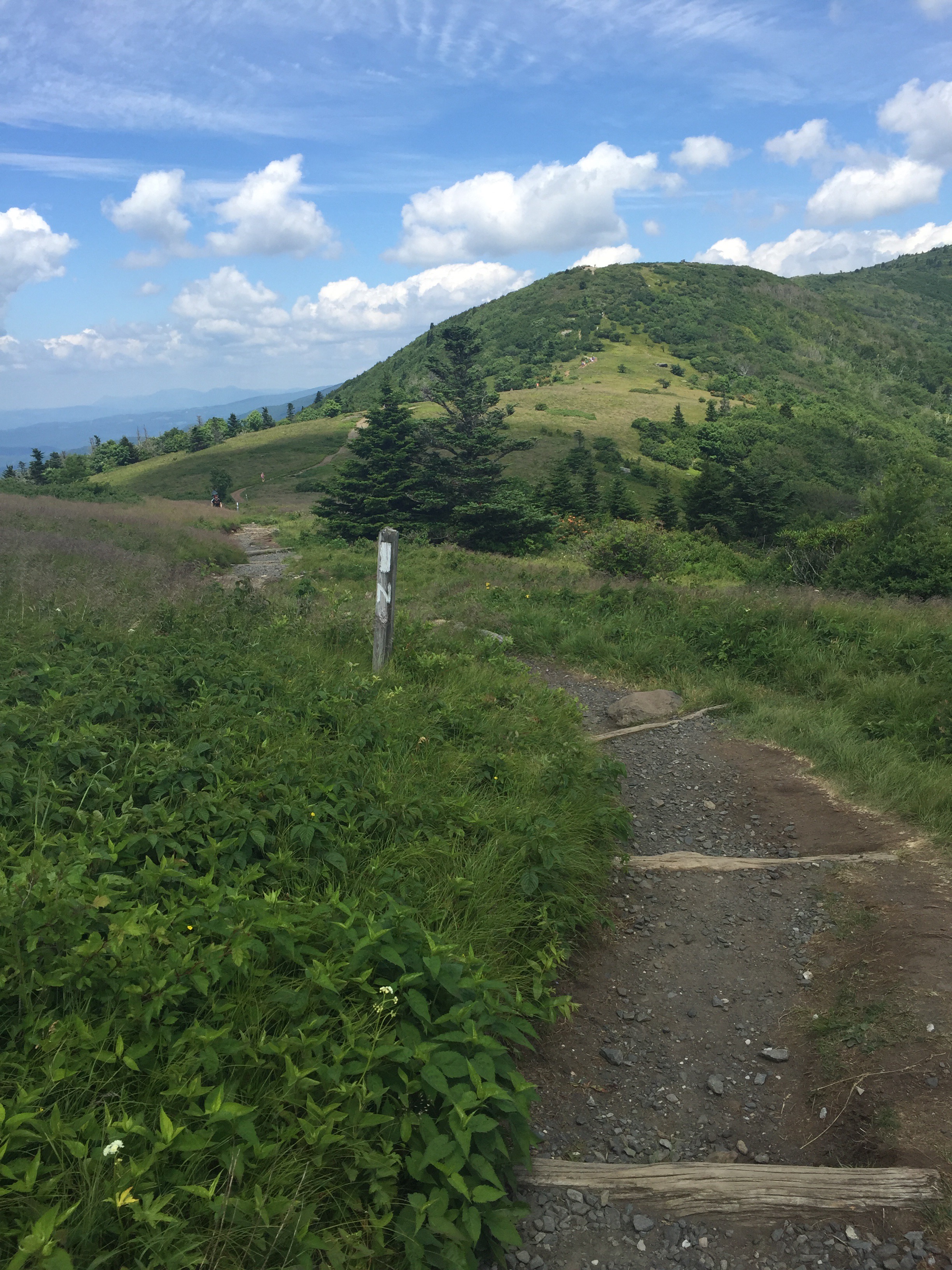
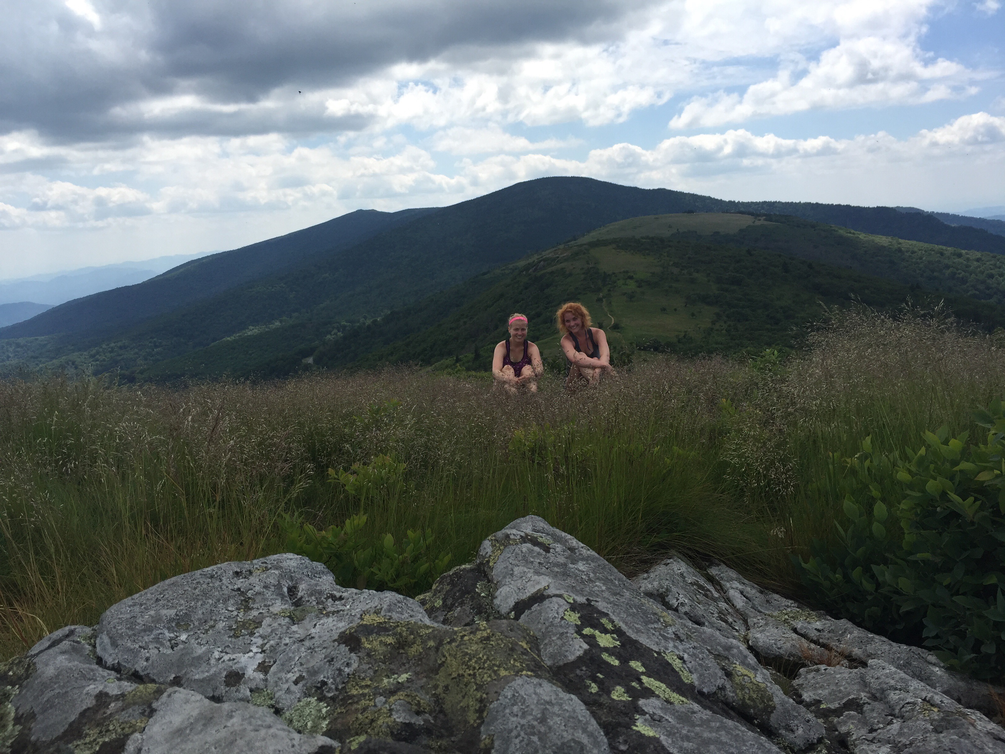
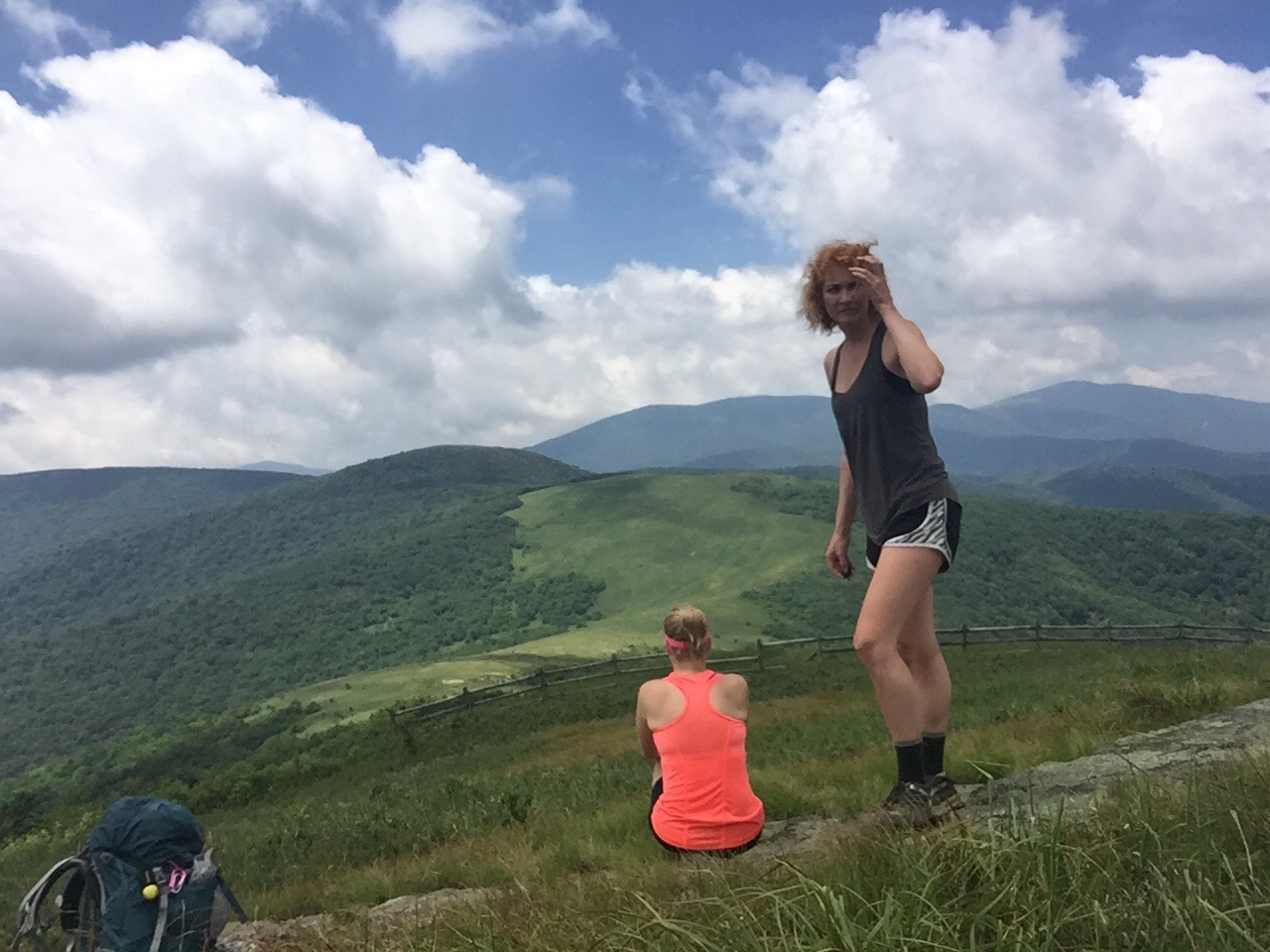
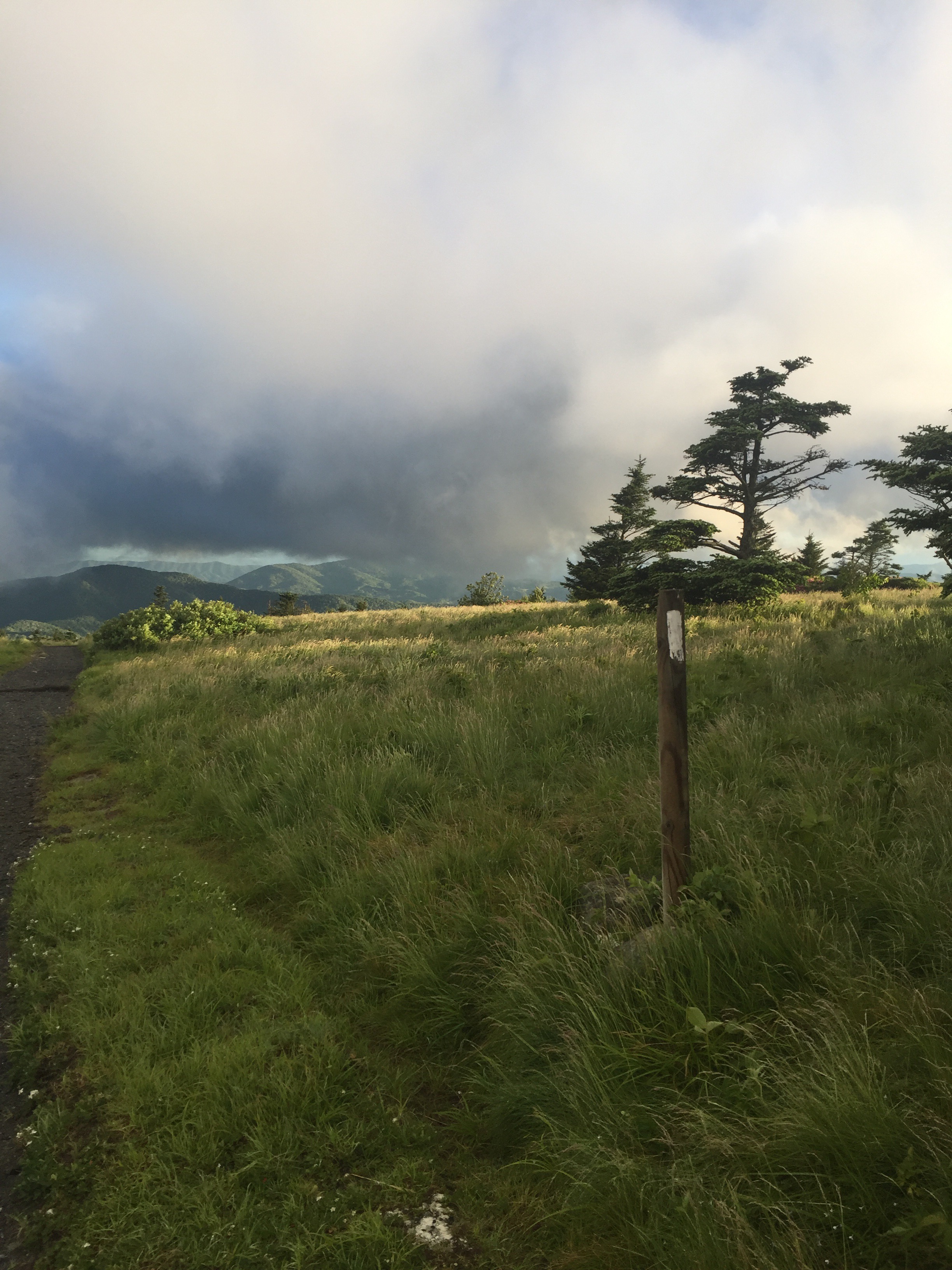
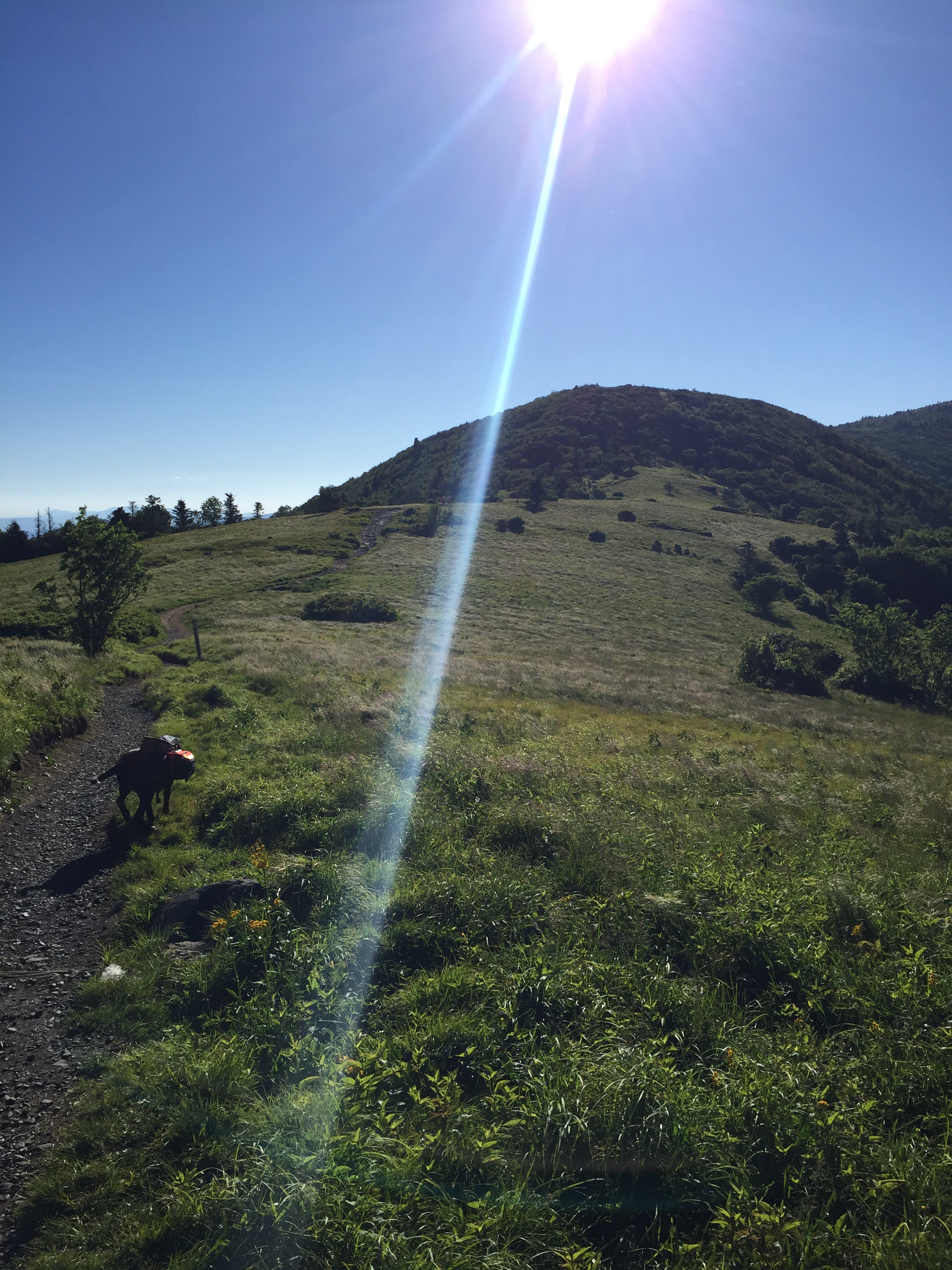
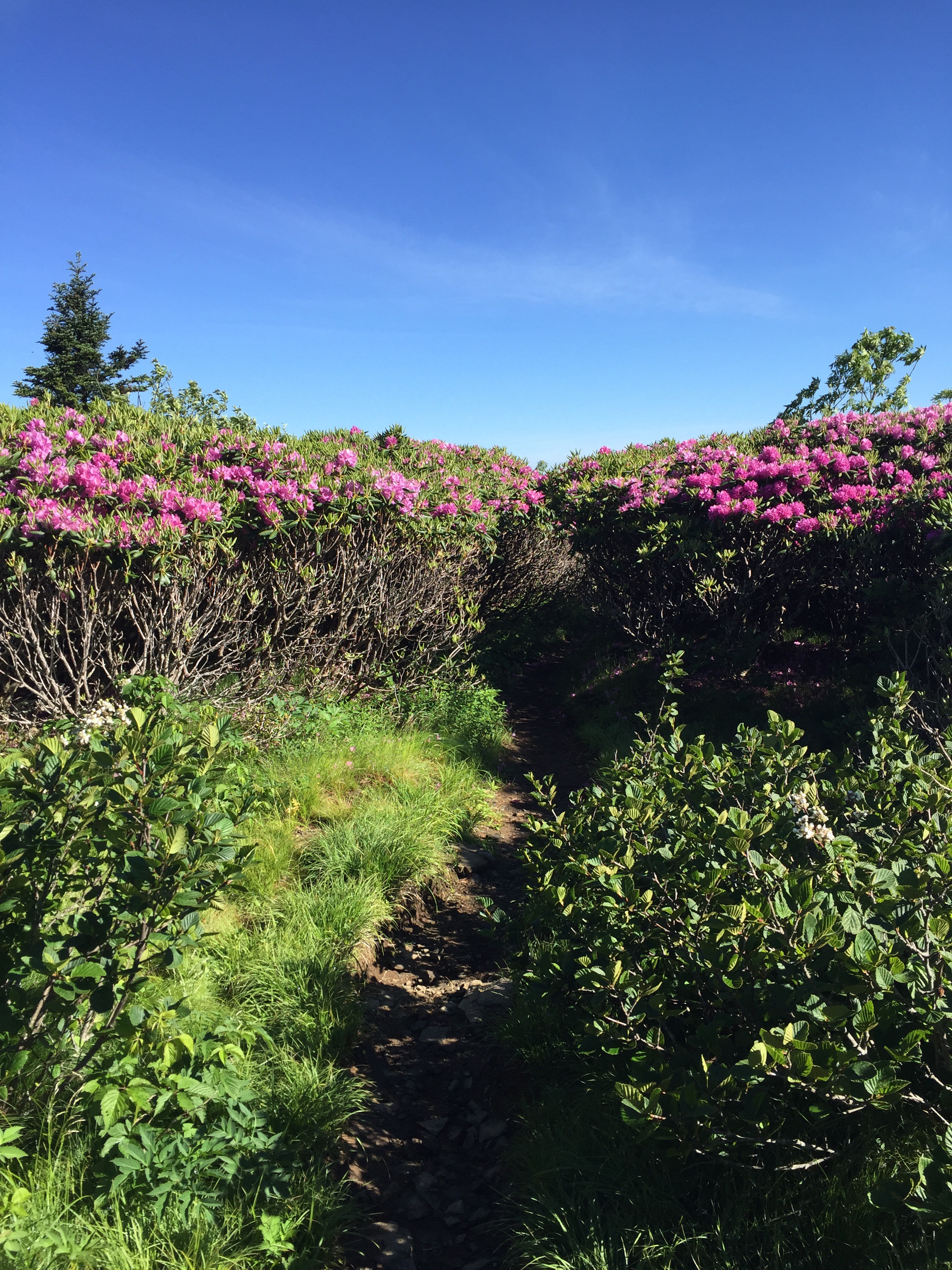
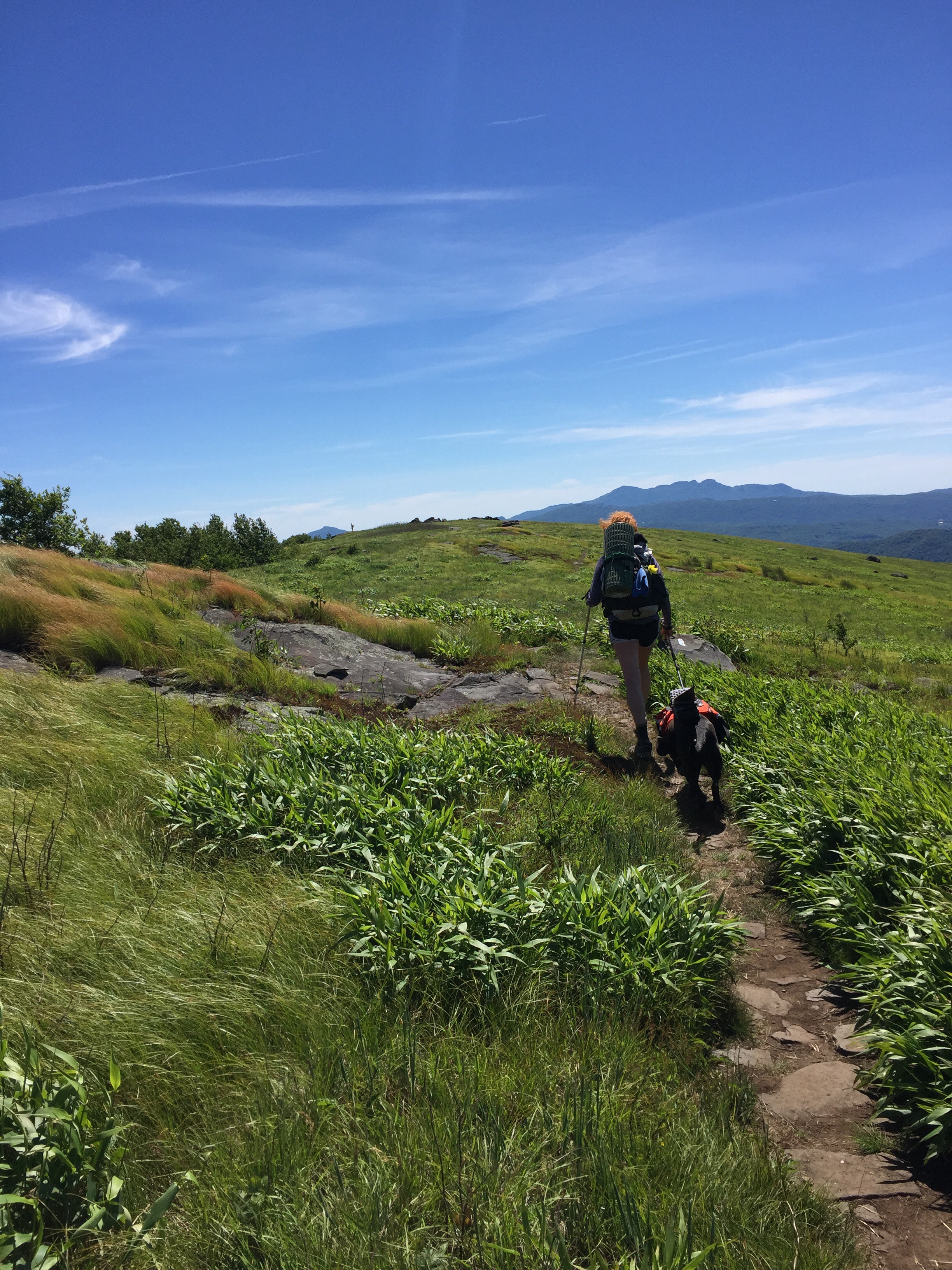
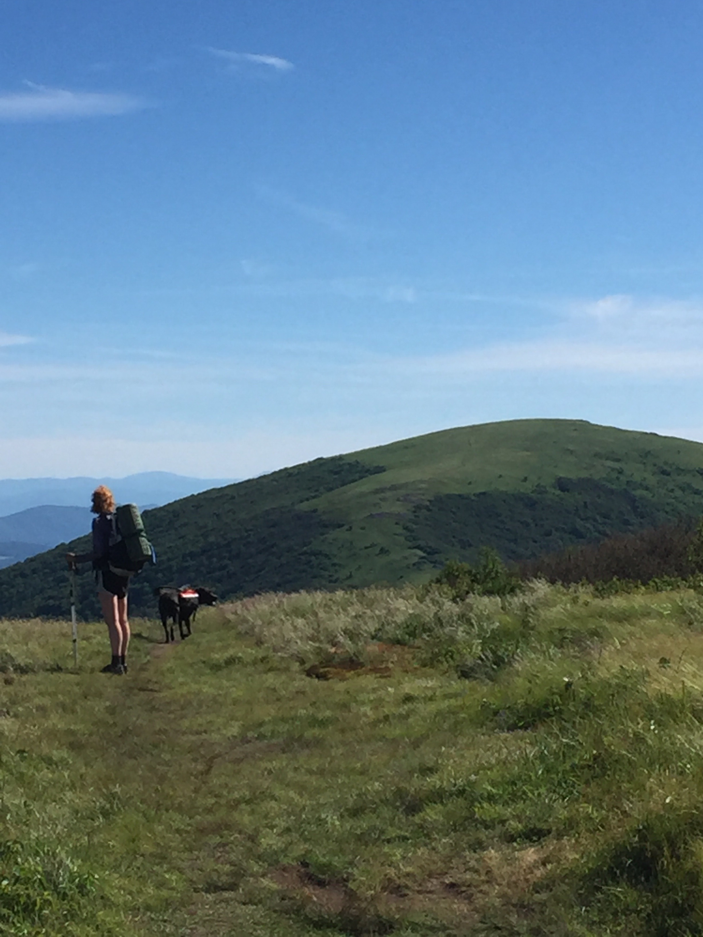
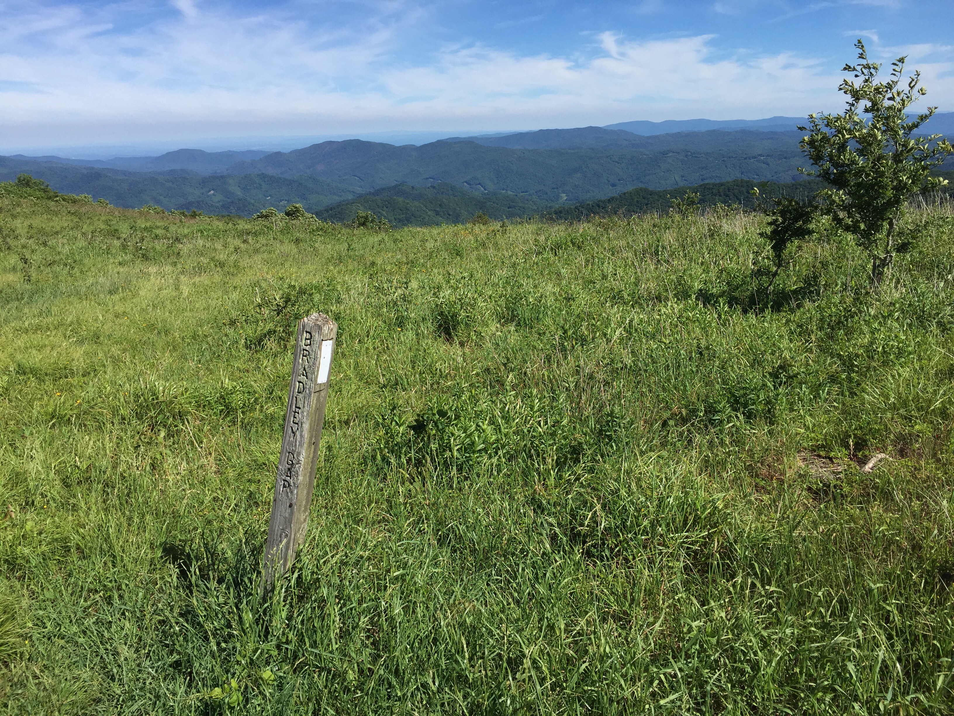
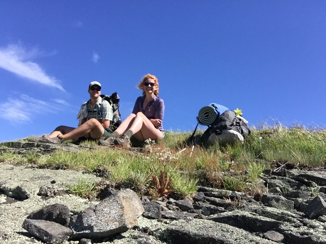
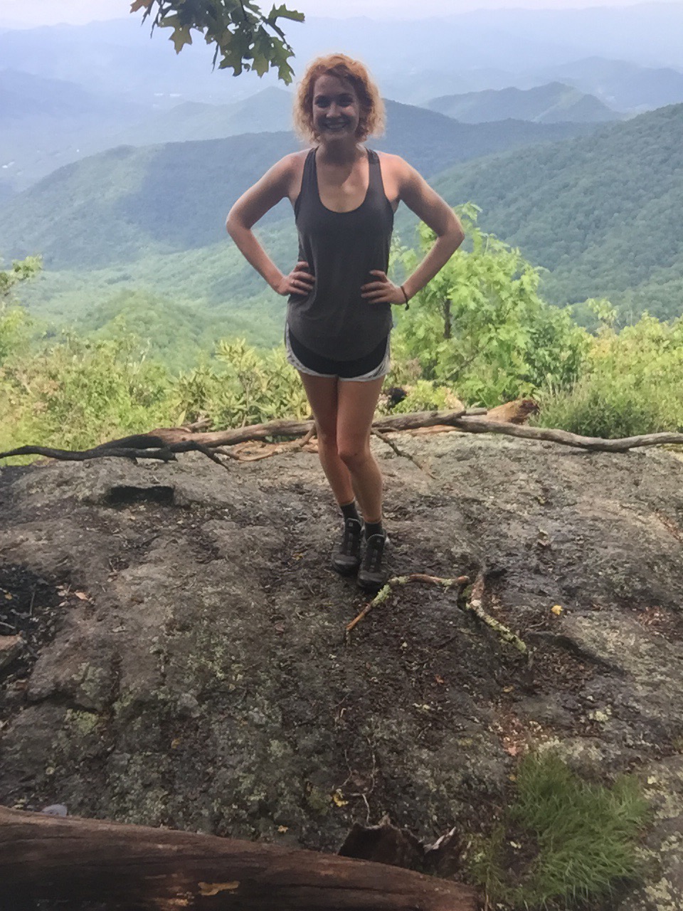
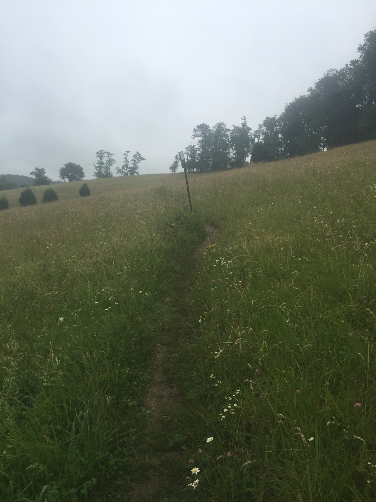
We headed out again soon after, stopping to see the view at the field where we would have tented if we’d kept going to the shelter. Well. 


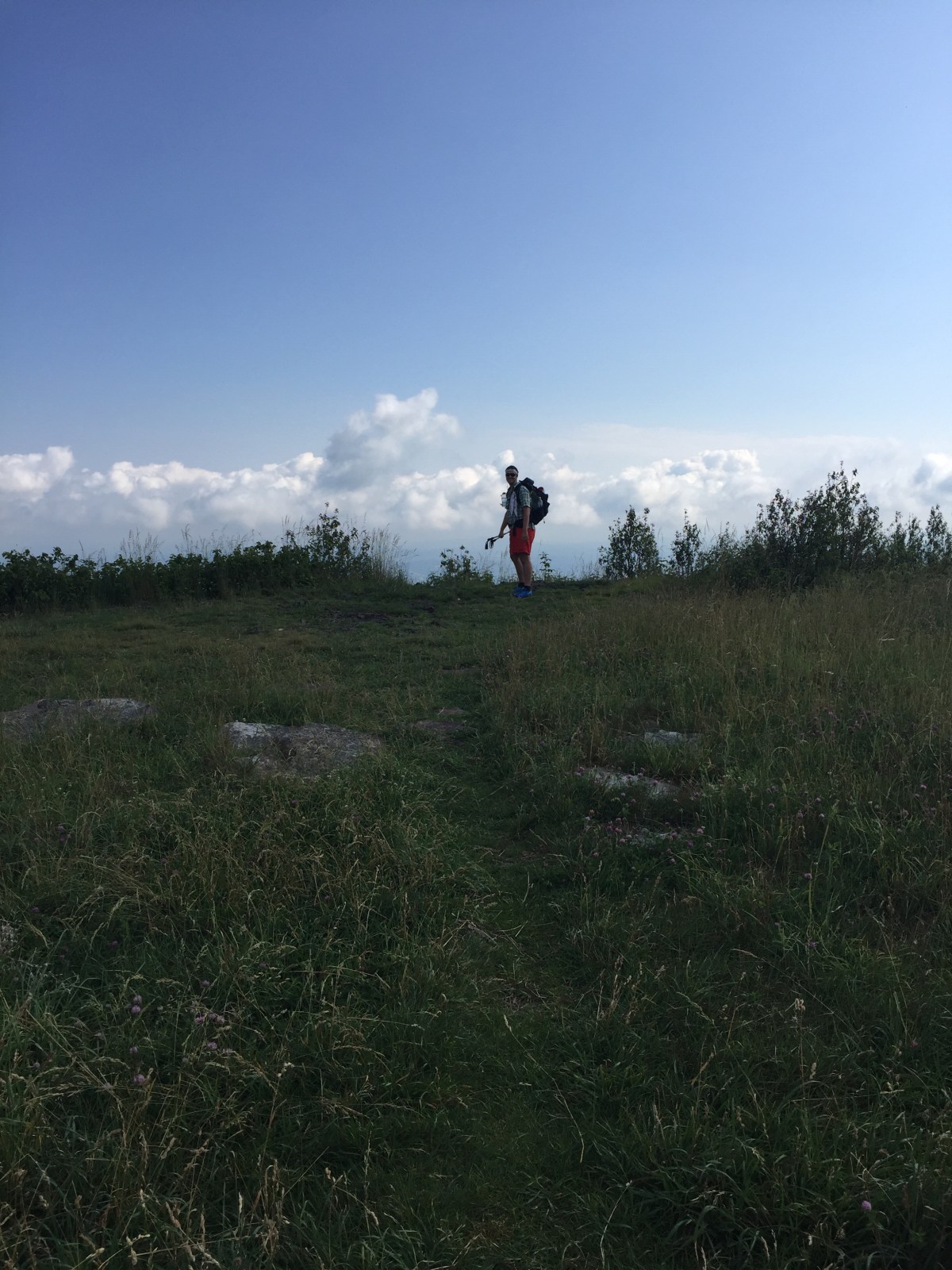
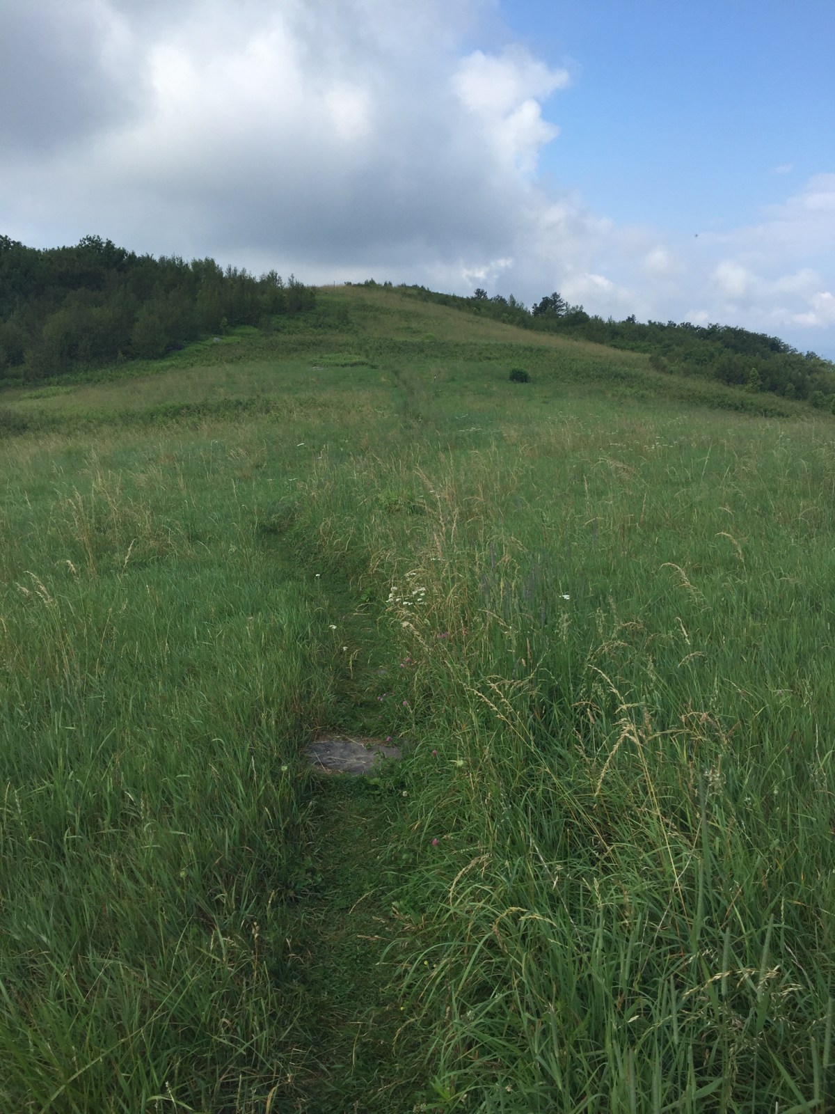
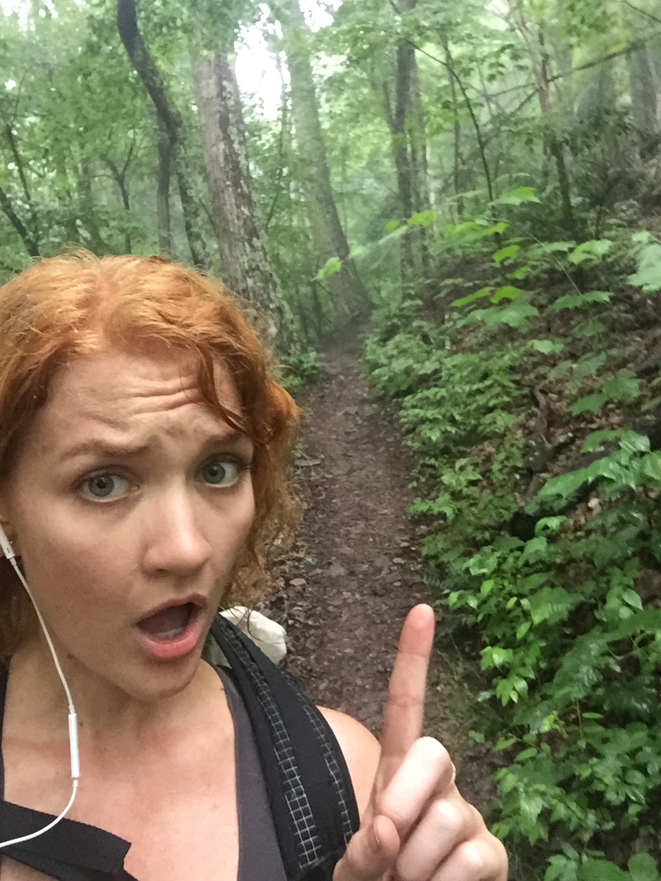
I soon asked if could go ahead of Gambit. I was feeling an itch to just throw myself down the trail and stretch my legs against the flat path. He moved aside for me to pass him and away I went.


 I was a little lost in my music when I looked up and saw a bear. 

He was standing on his four legs, just looking at me, butt to the trail. I stopped and looked at him, mouth open. A small gasp escaped. We both just stood there for a moment, and then the next thing I knew, he was gone. 
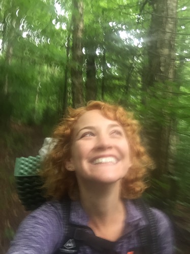
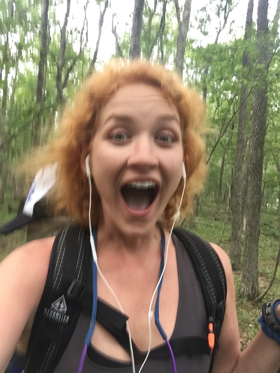
But I had seen my first bear. I danced down the trail for another minute, then stopped to tell gambit. 
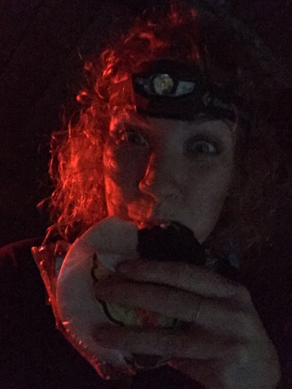
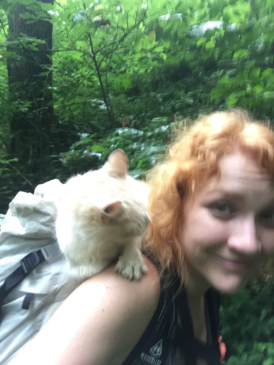
Bear face. 


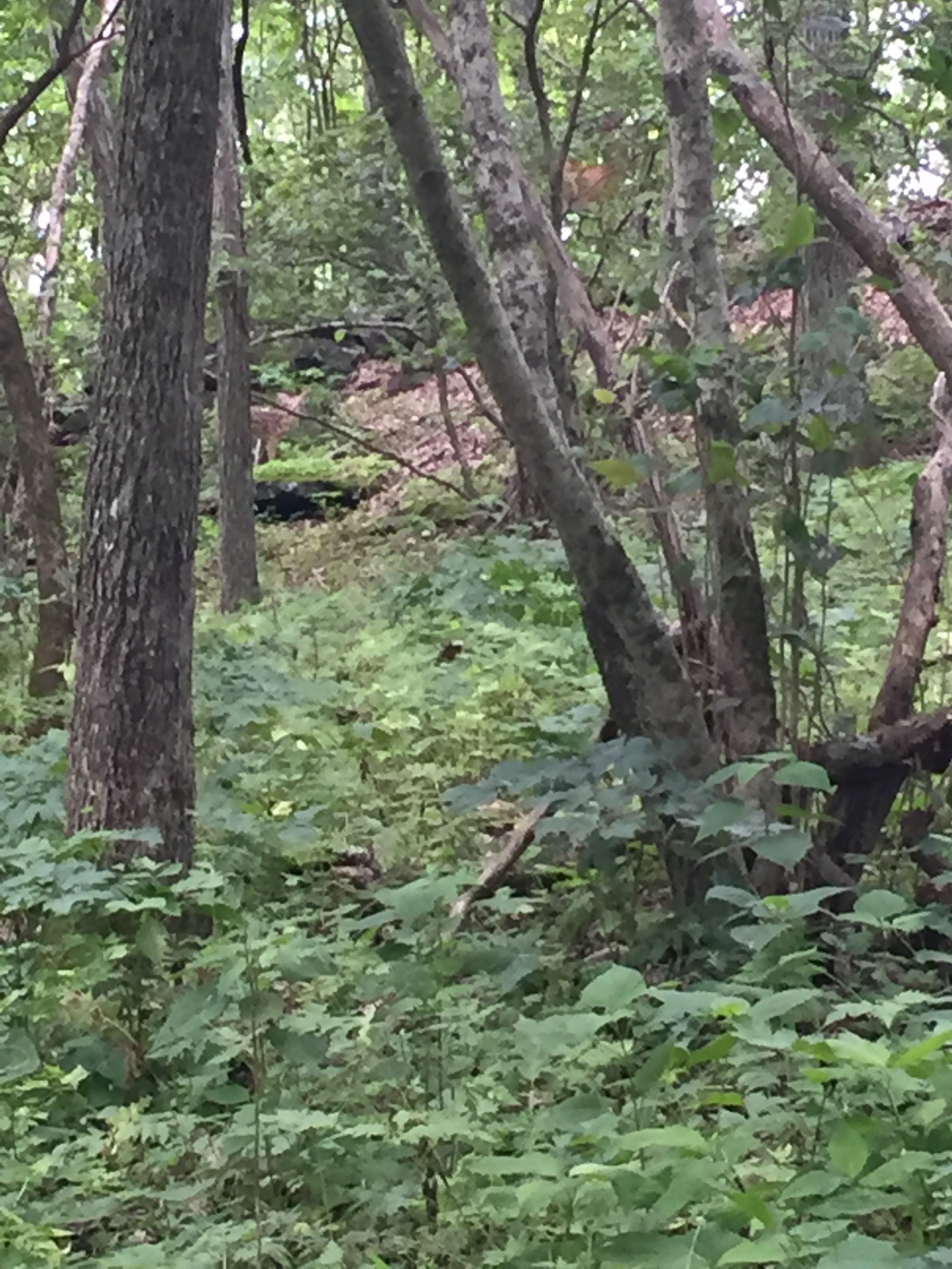
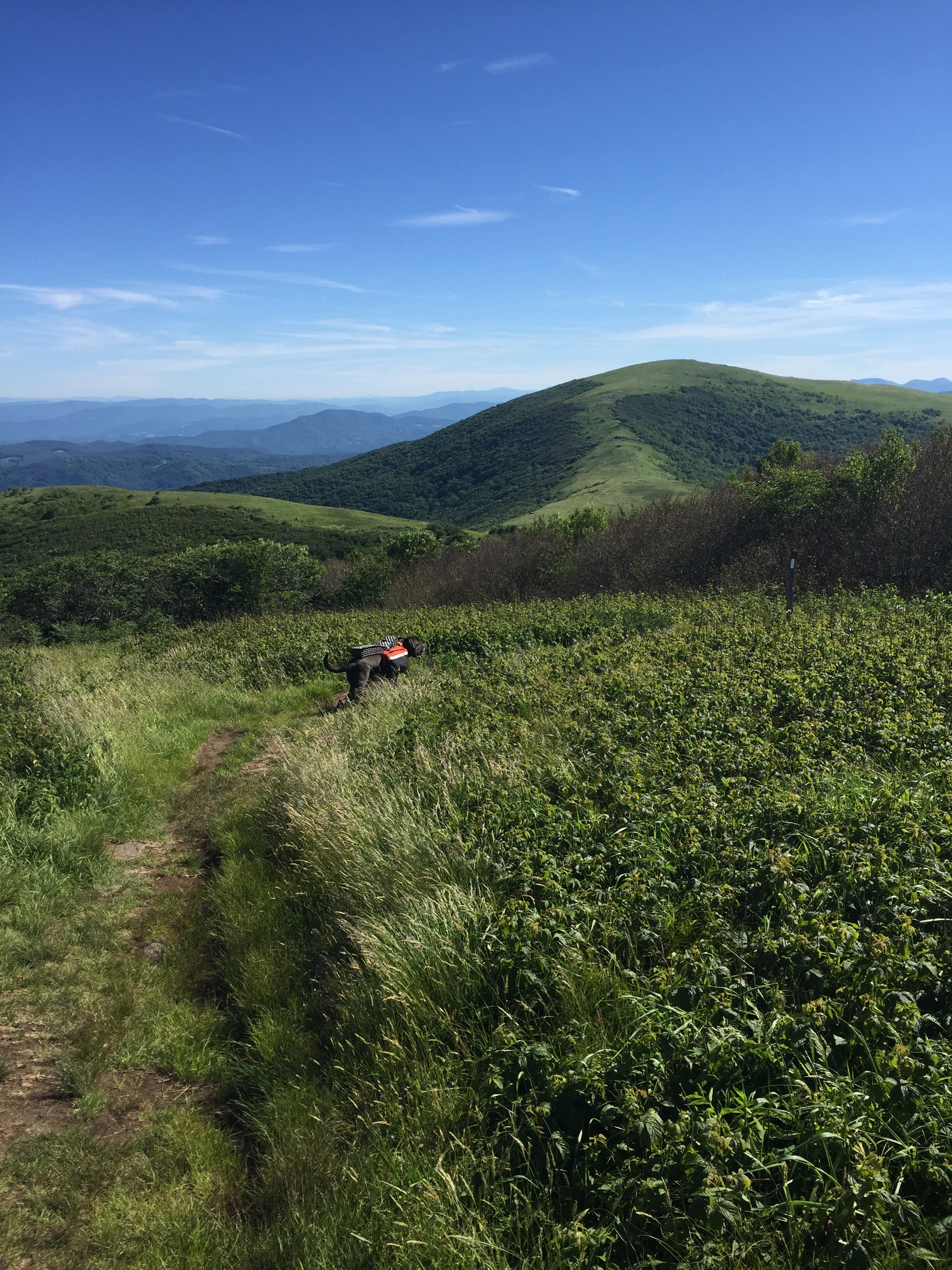
We saw a mama deer and her fawn up on a ridge. They stared at us, and kept on eating, slowly moving their way up the hill. 


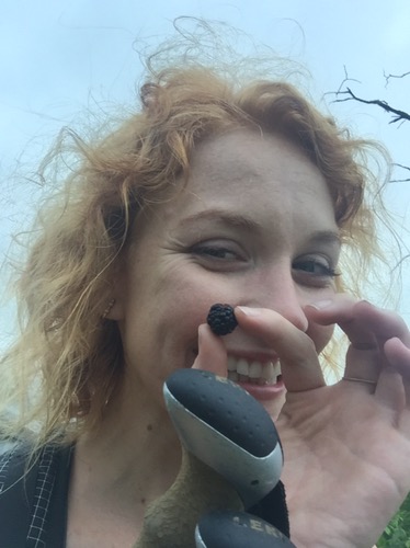
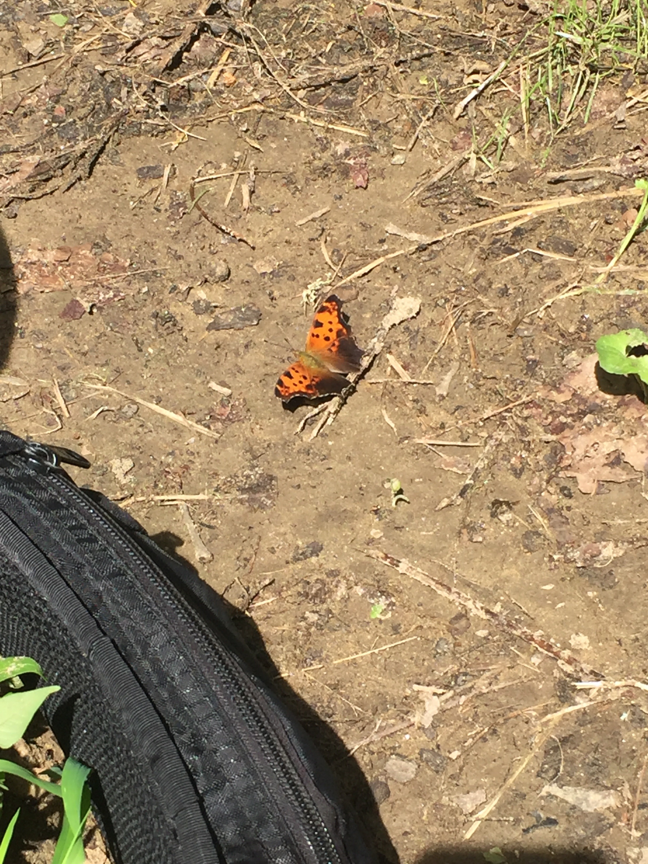
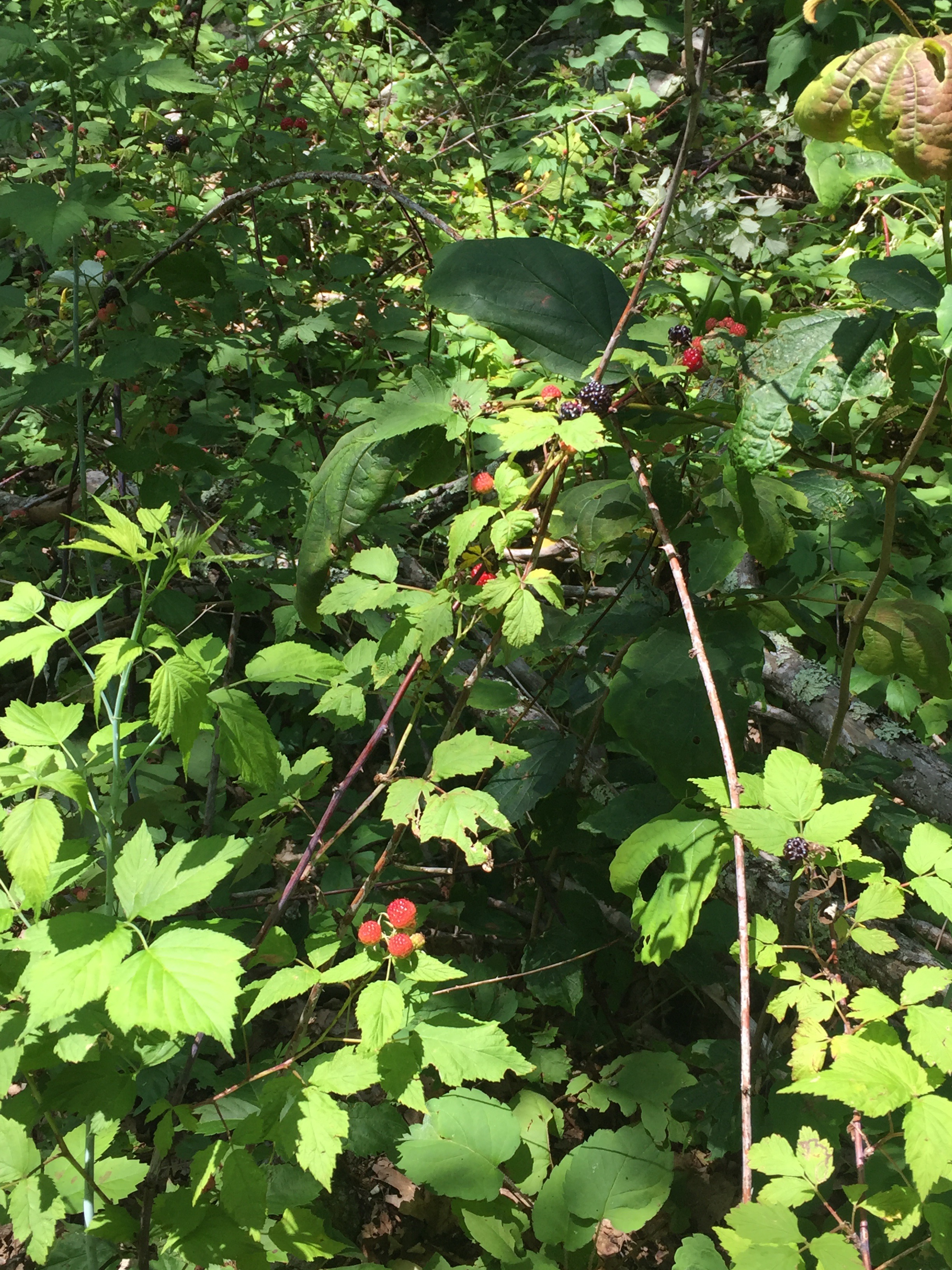
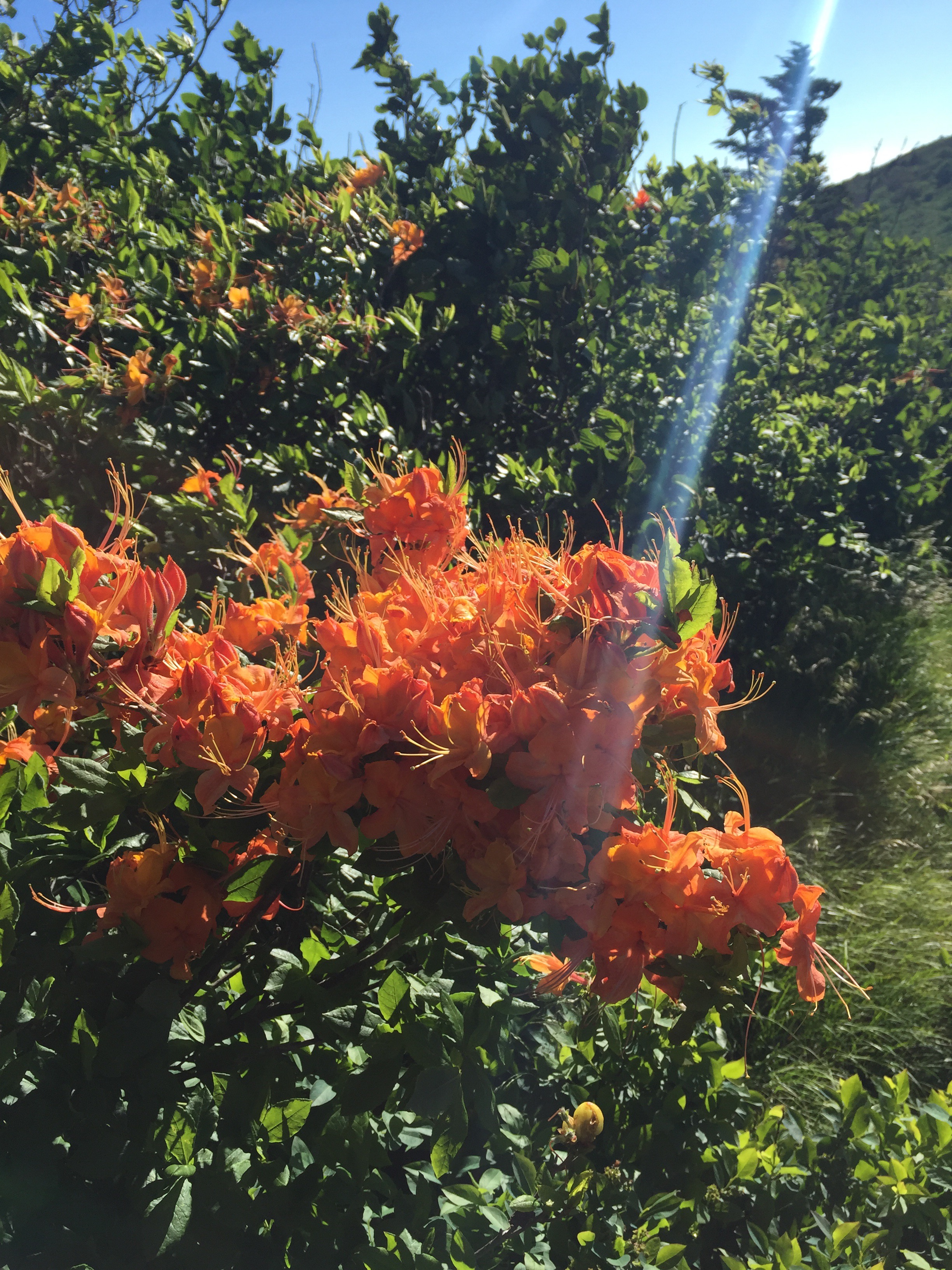
We stopped for blackberries, just beginning to ripen in the sun. 


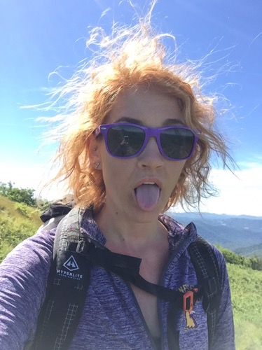
I was feeling good and enjoying the trail, despite the humidity and lack of water. 


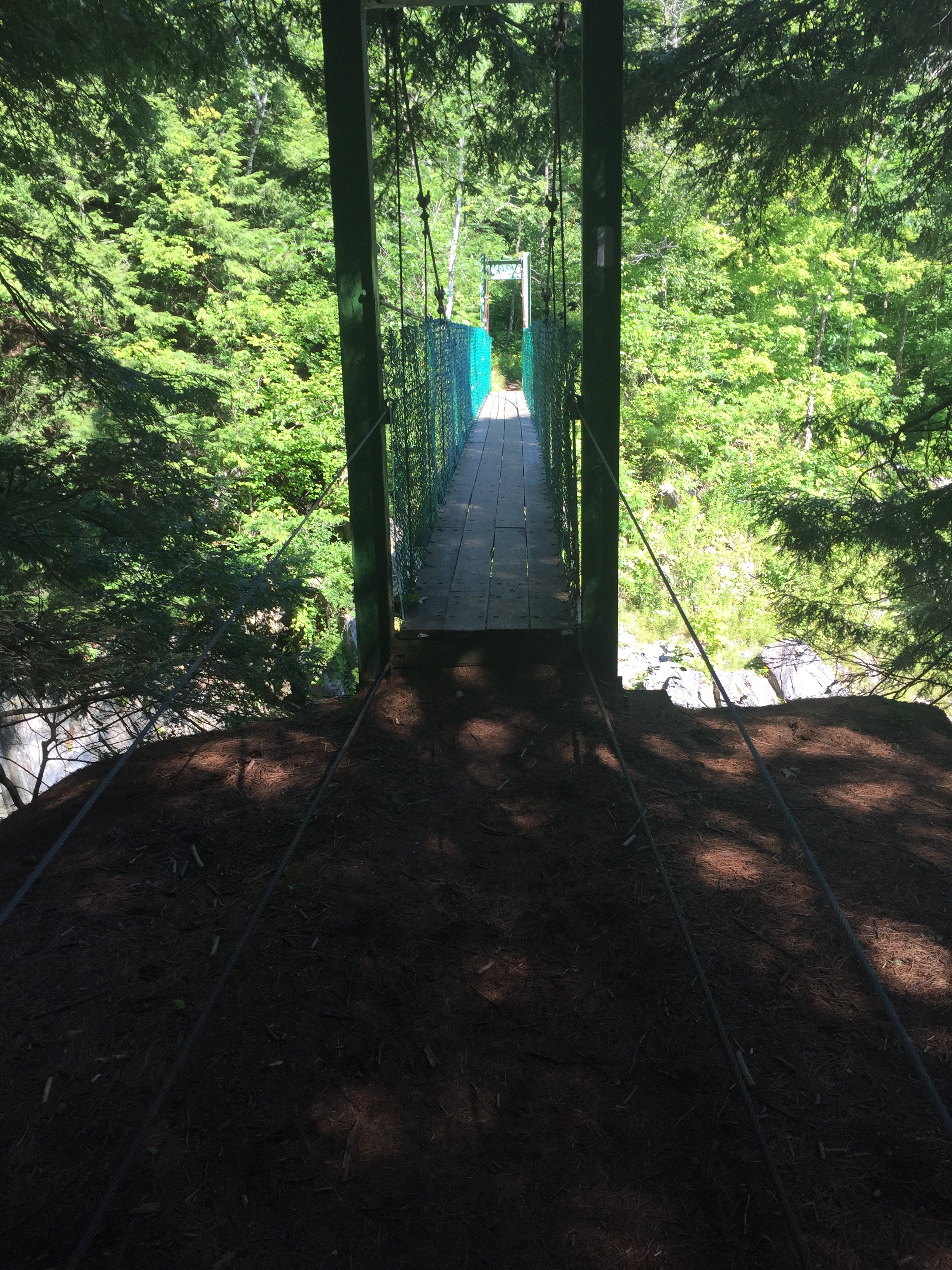
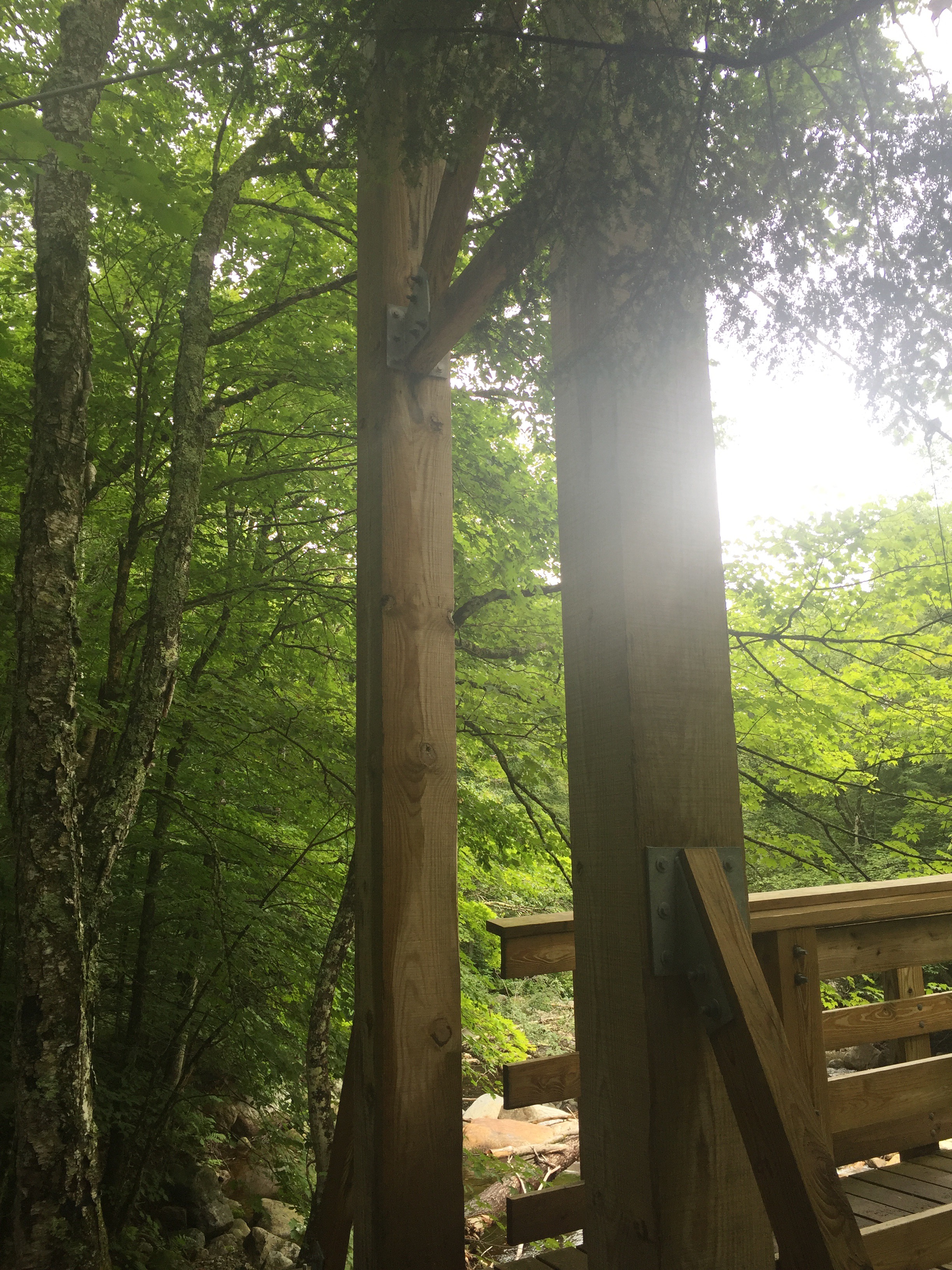
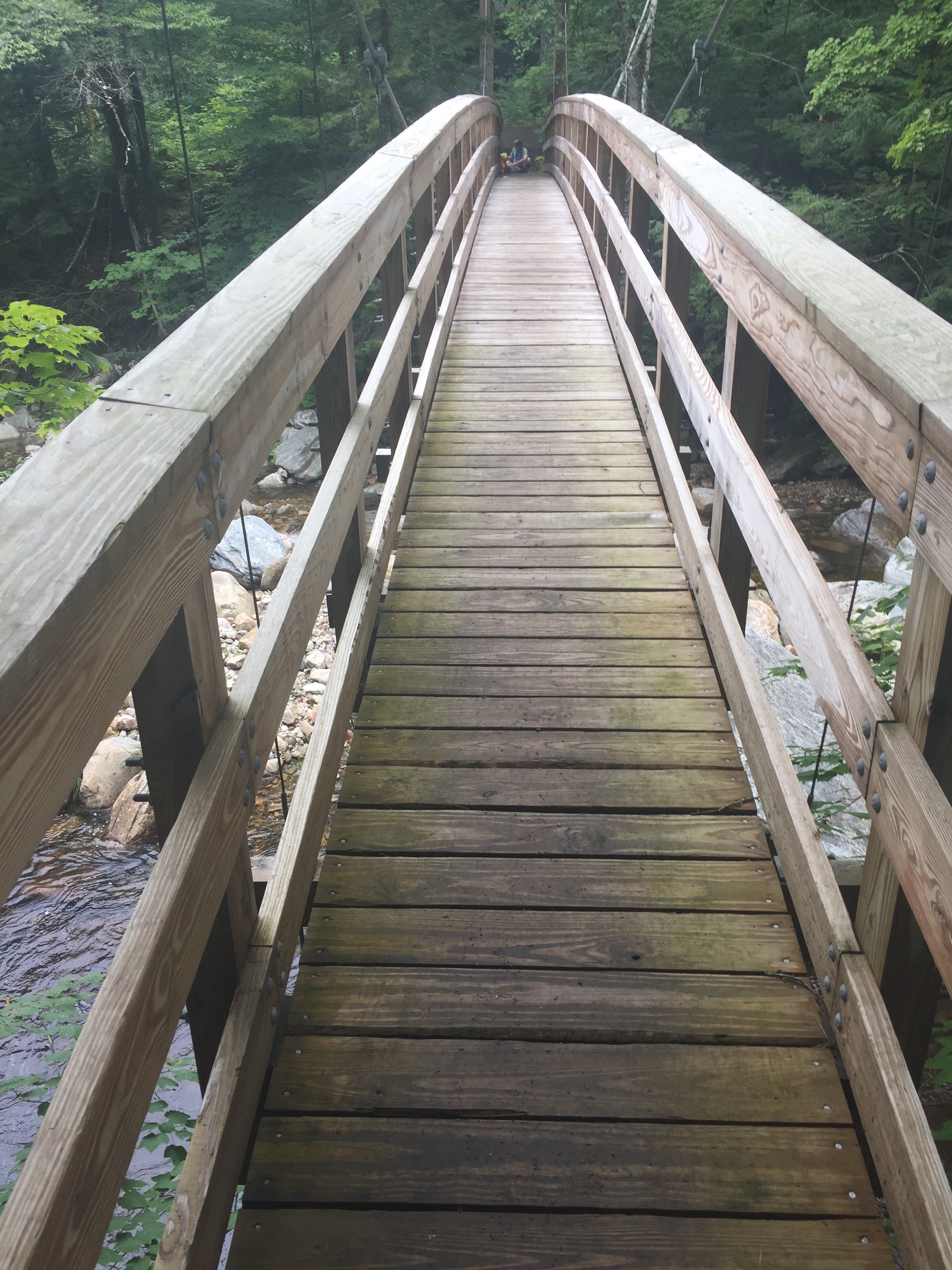
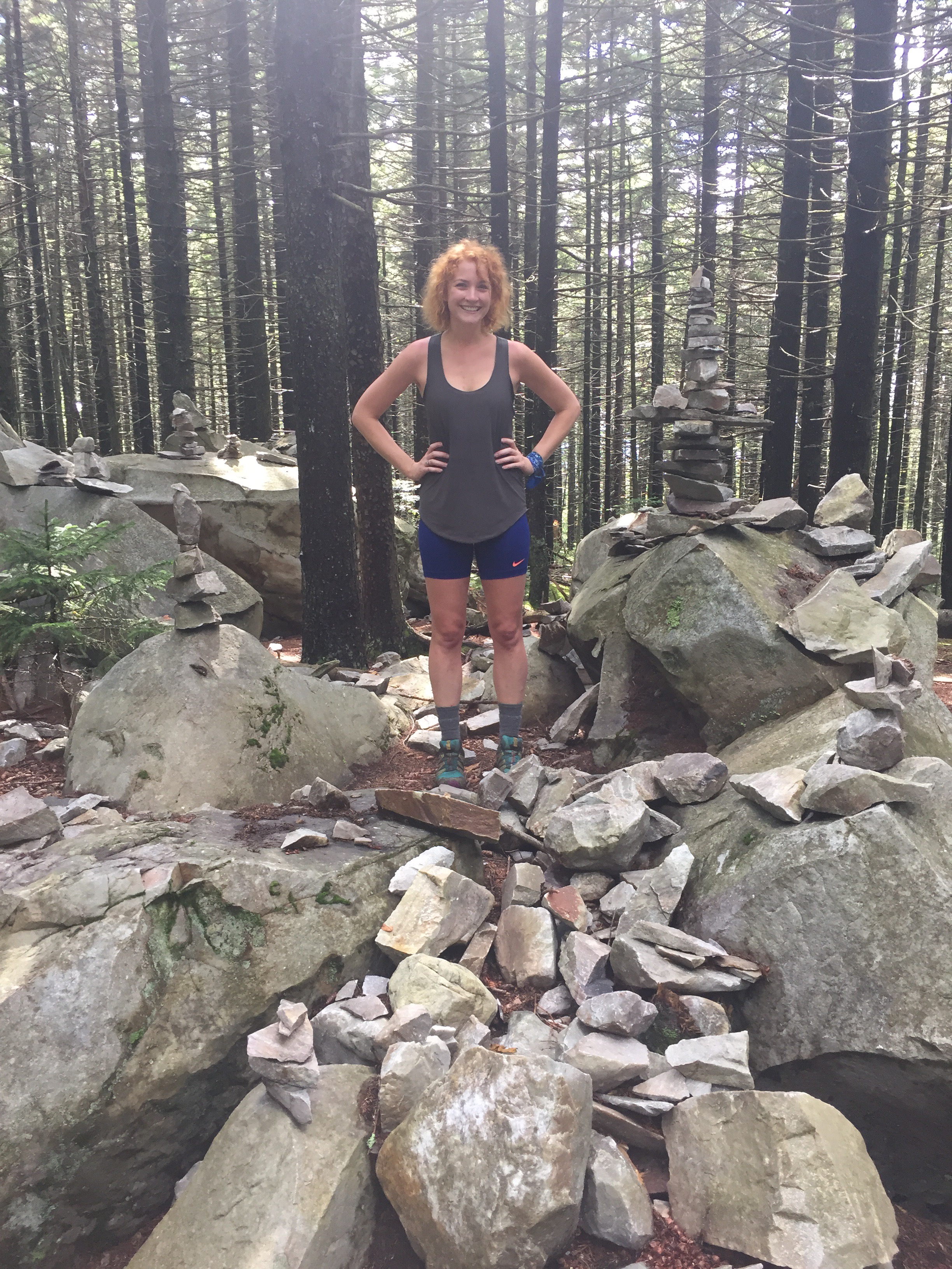
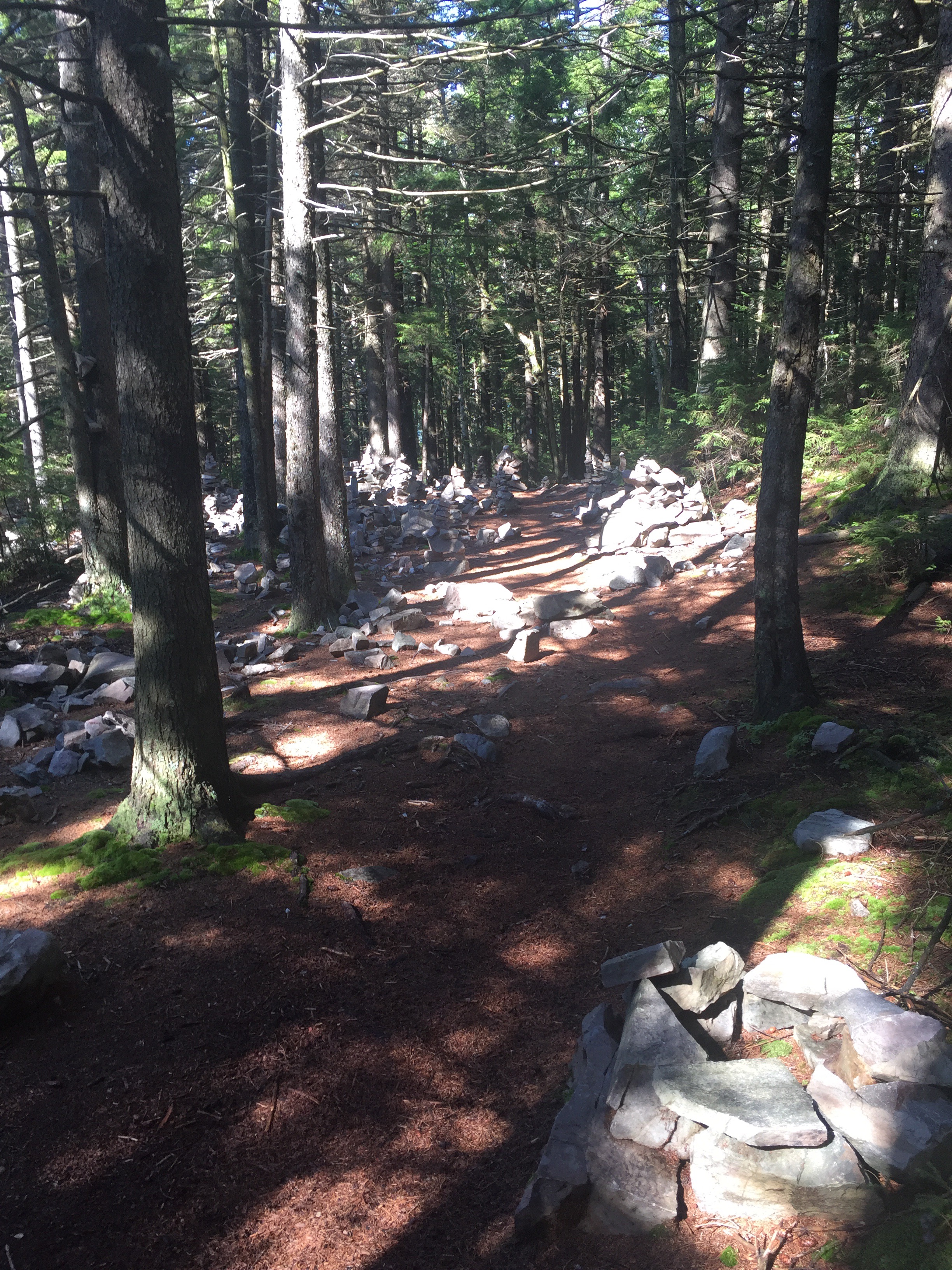
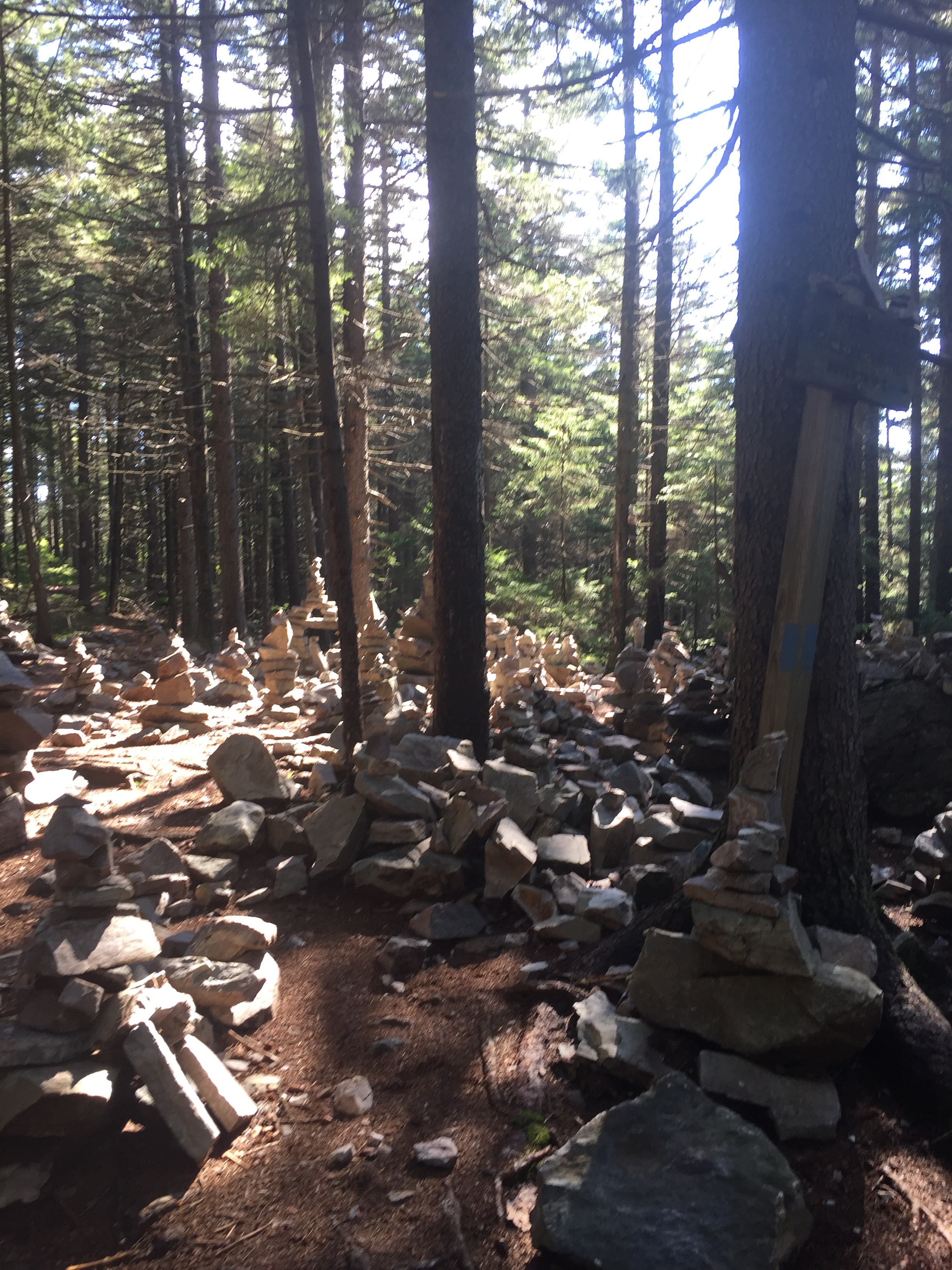
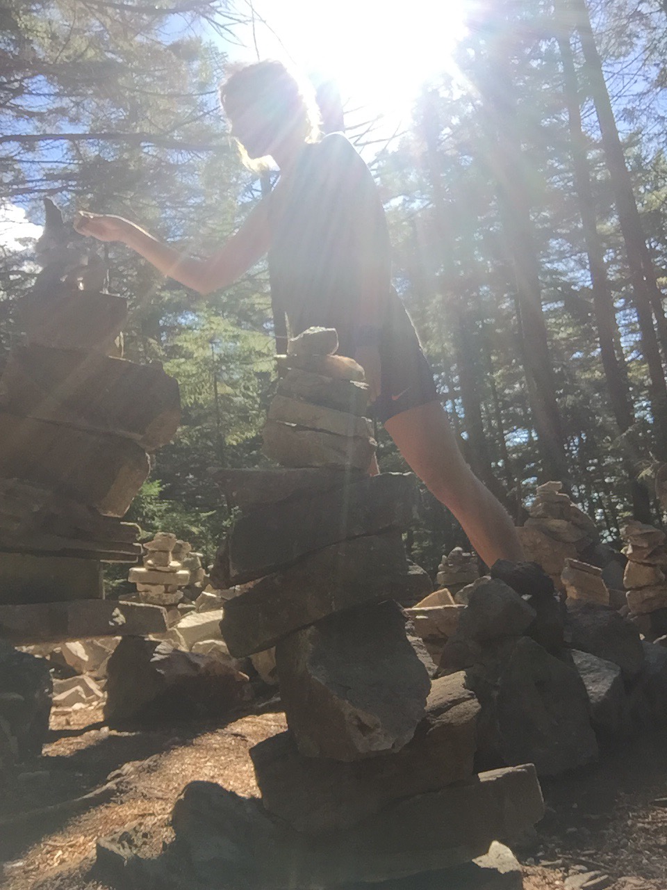
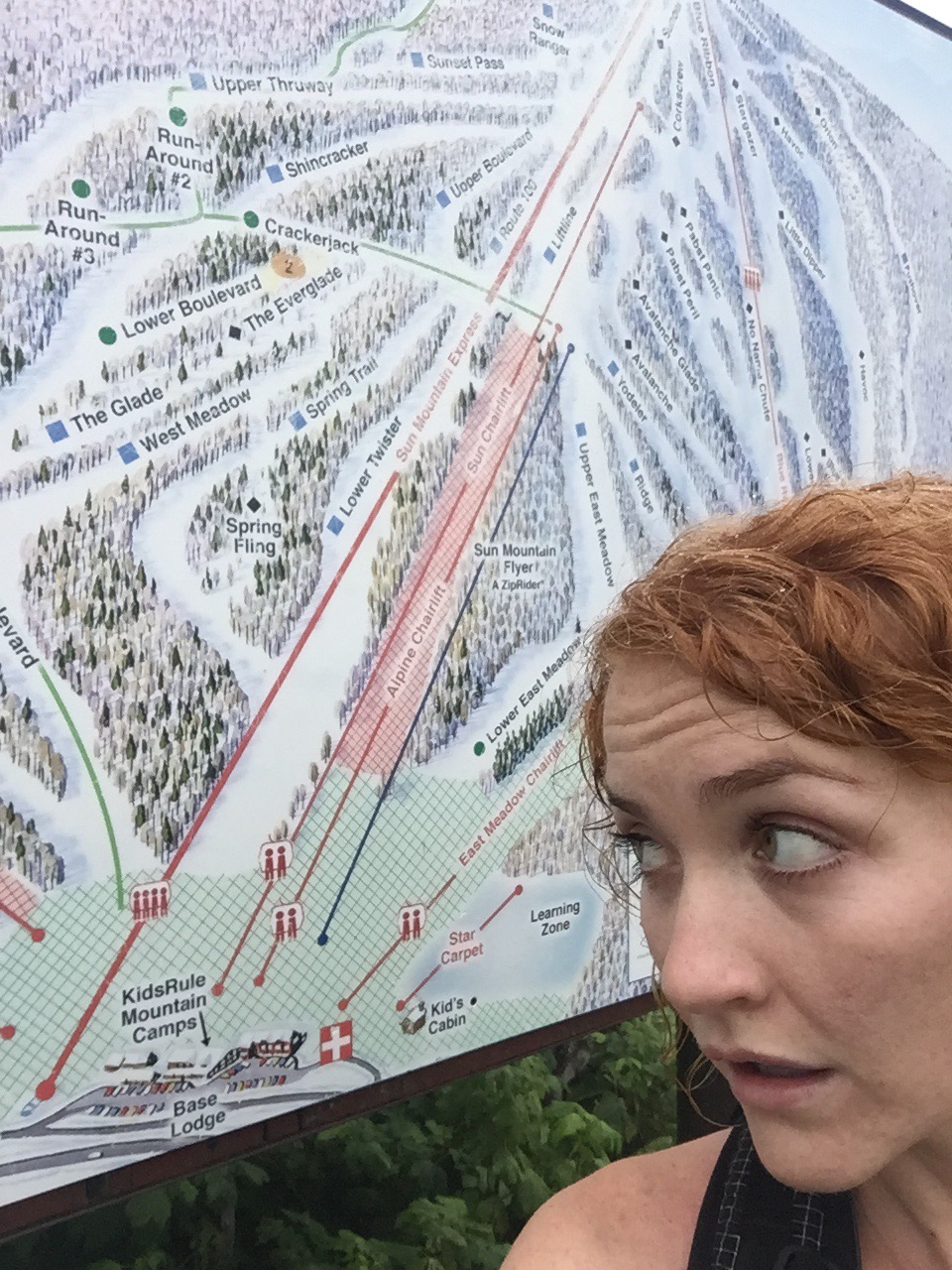
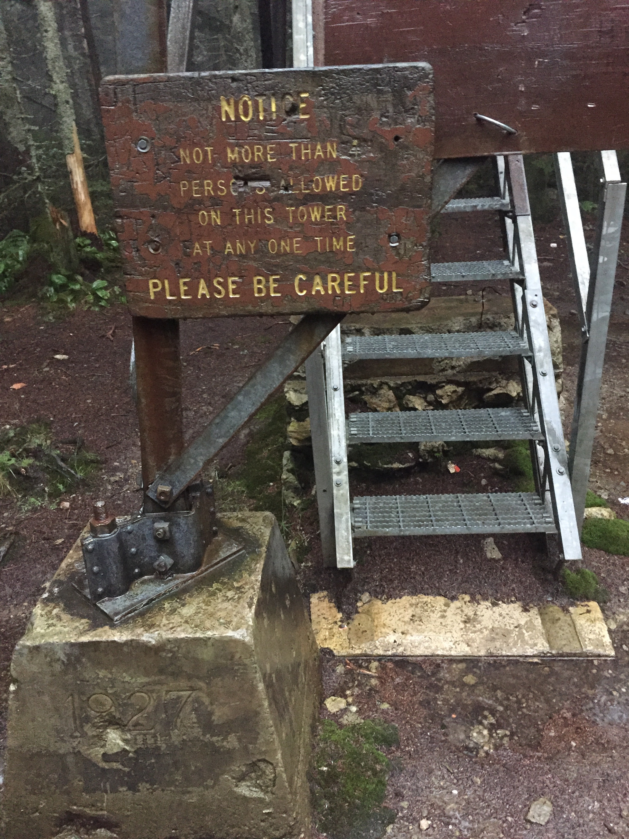
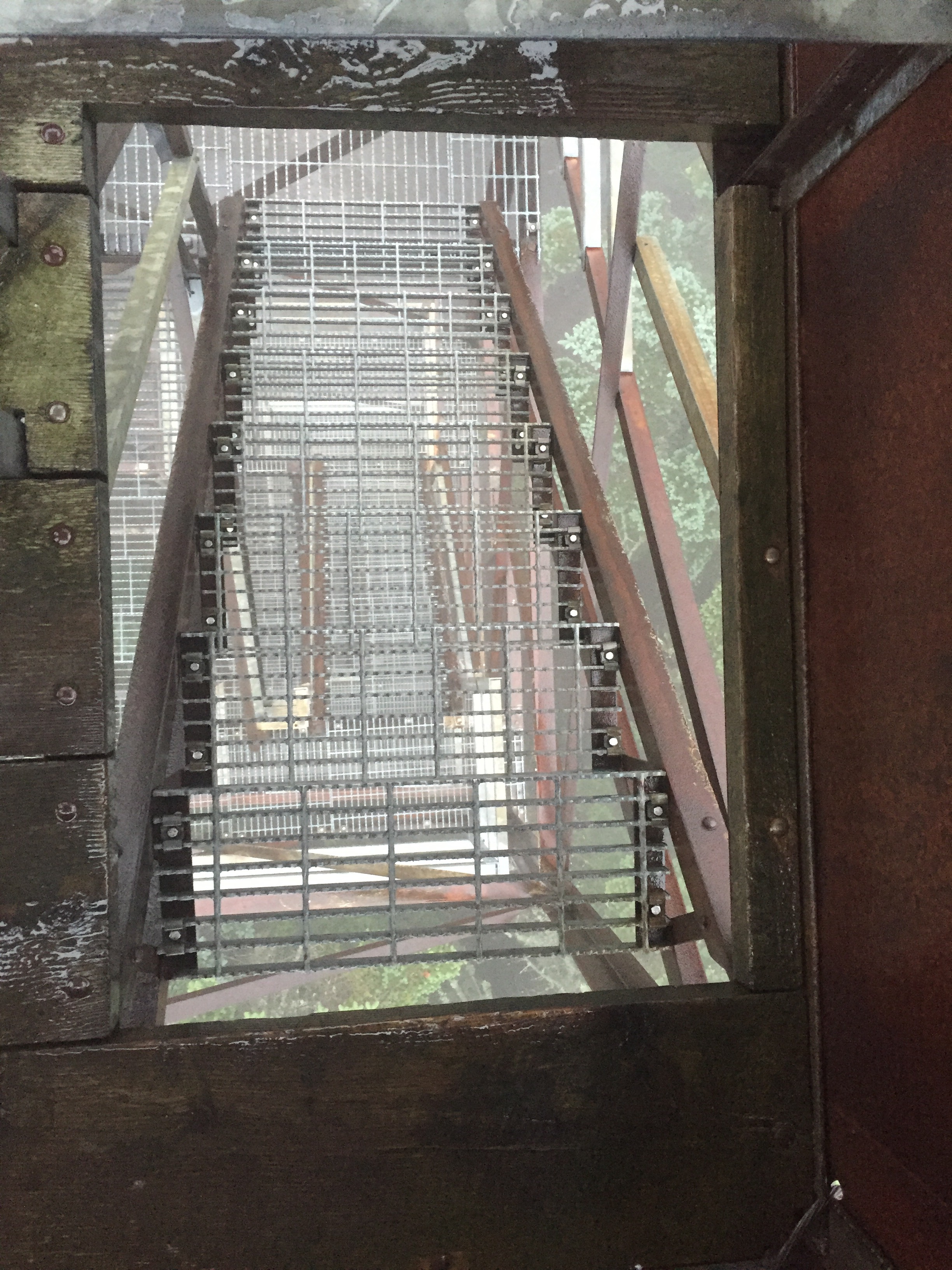
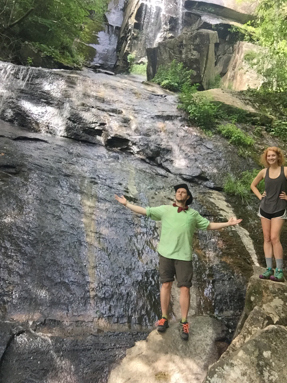
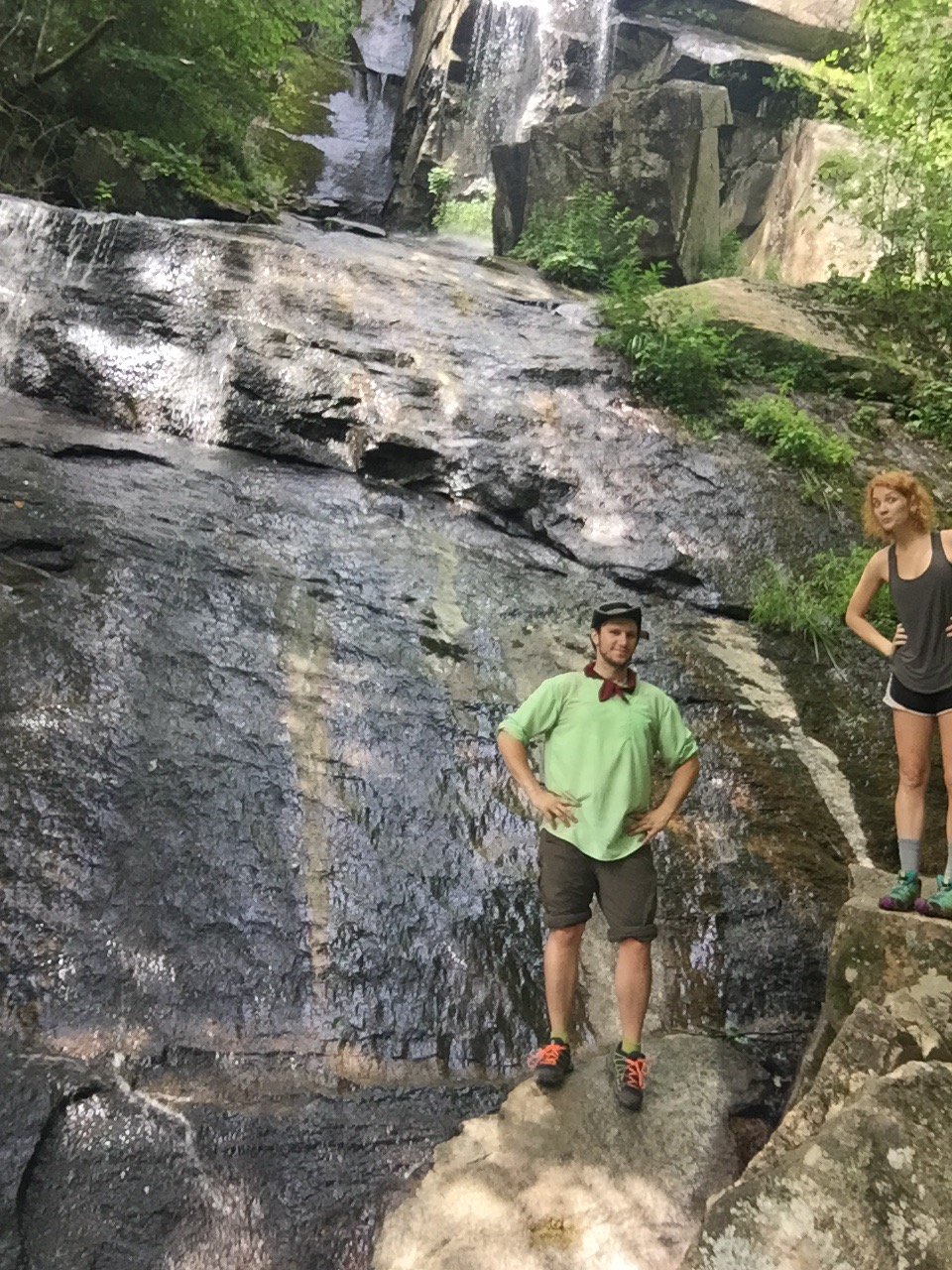
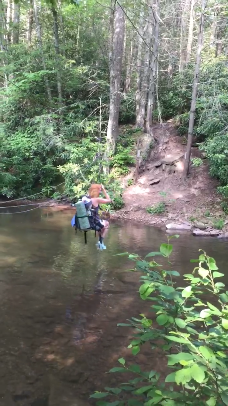
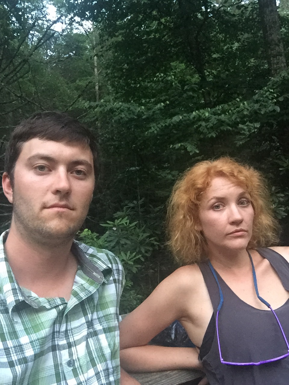
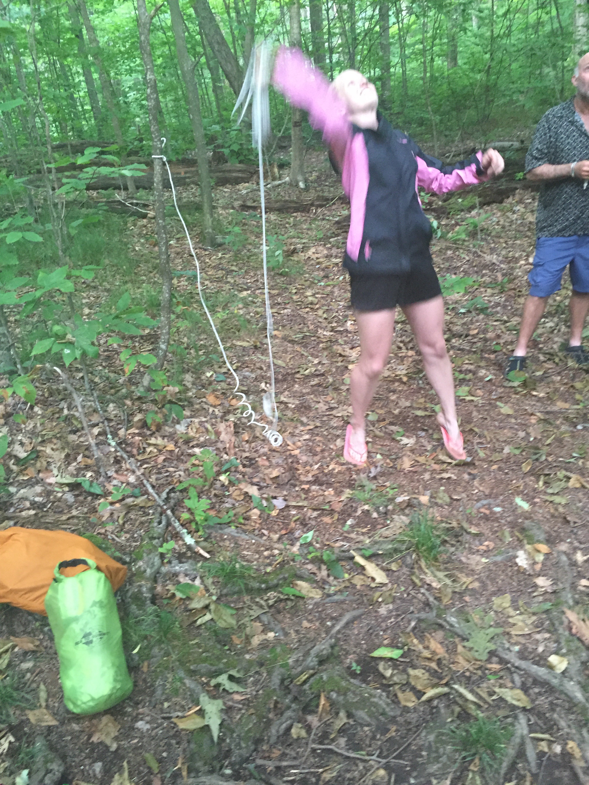
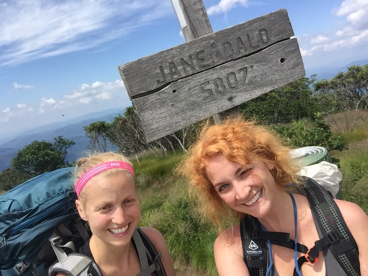
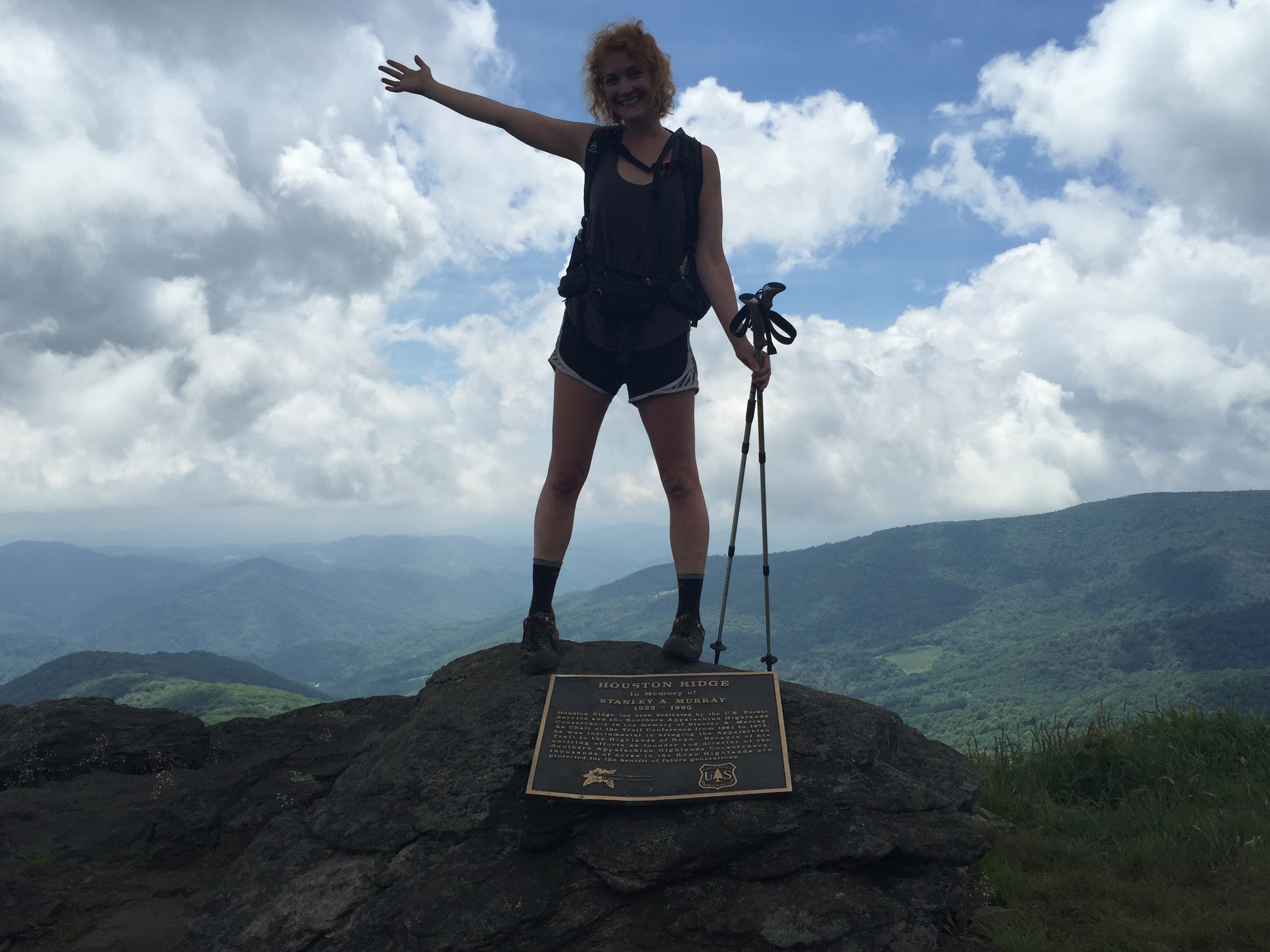
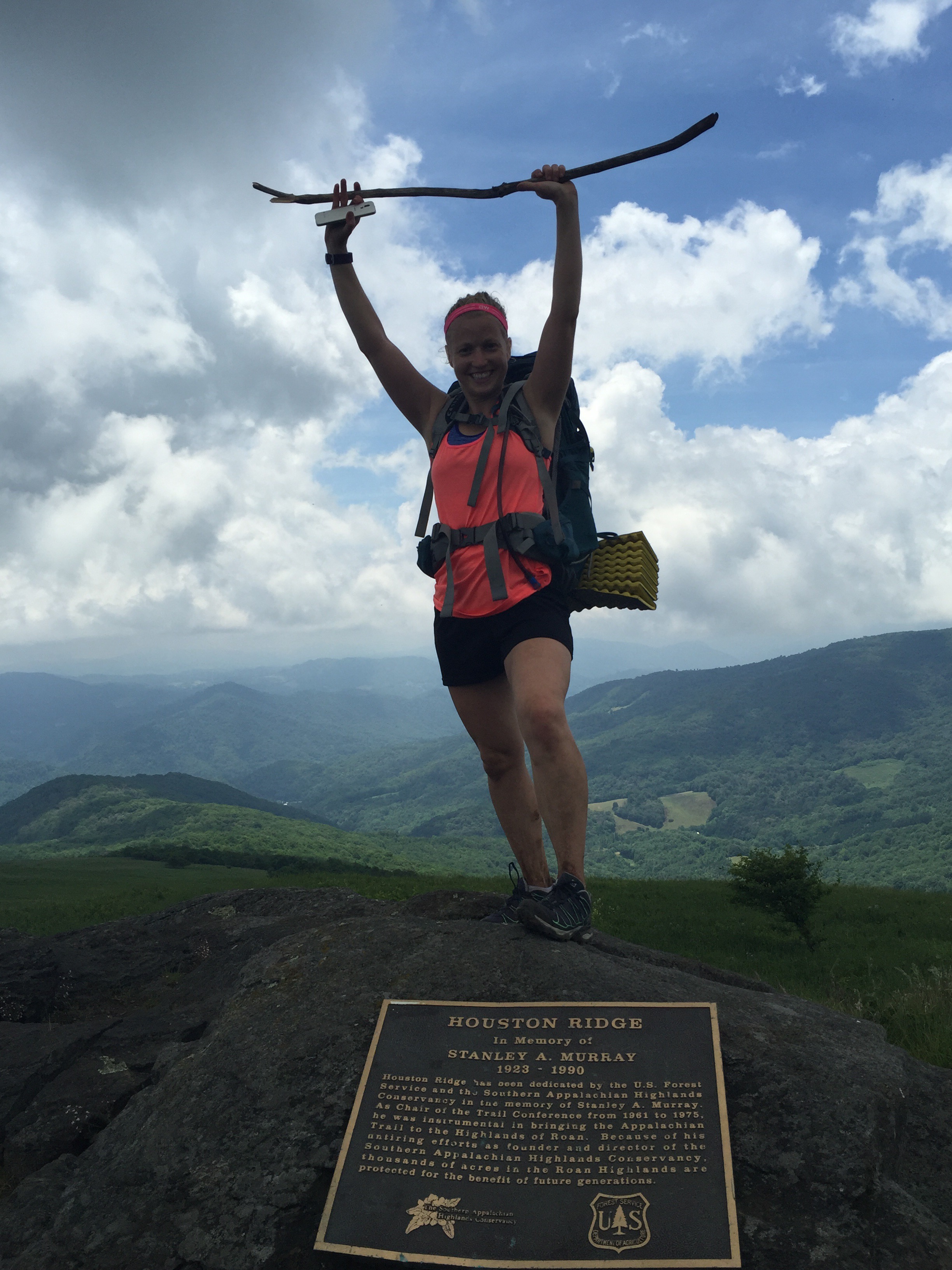
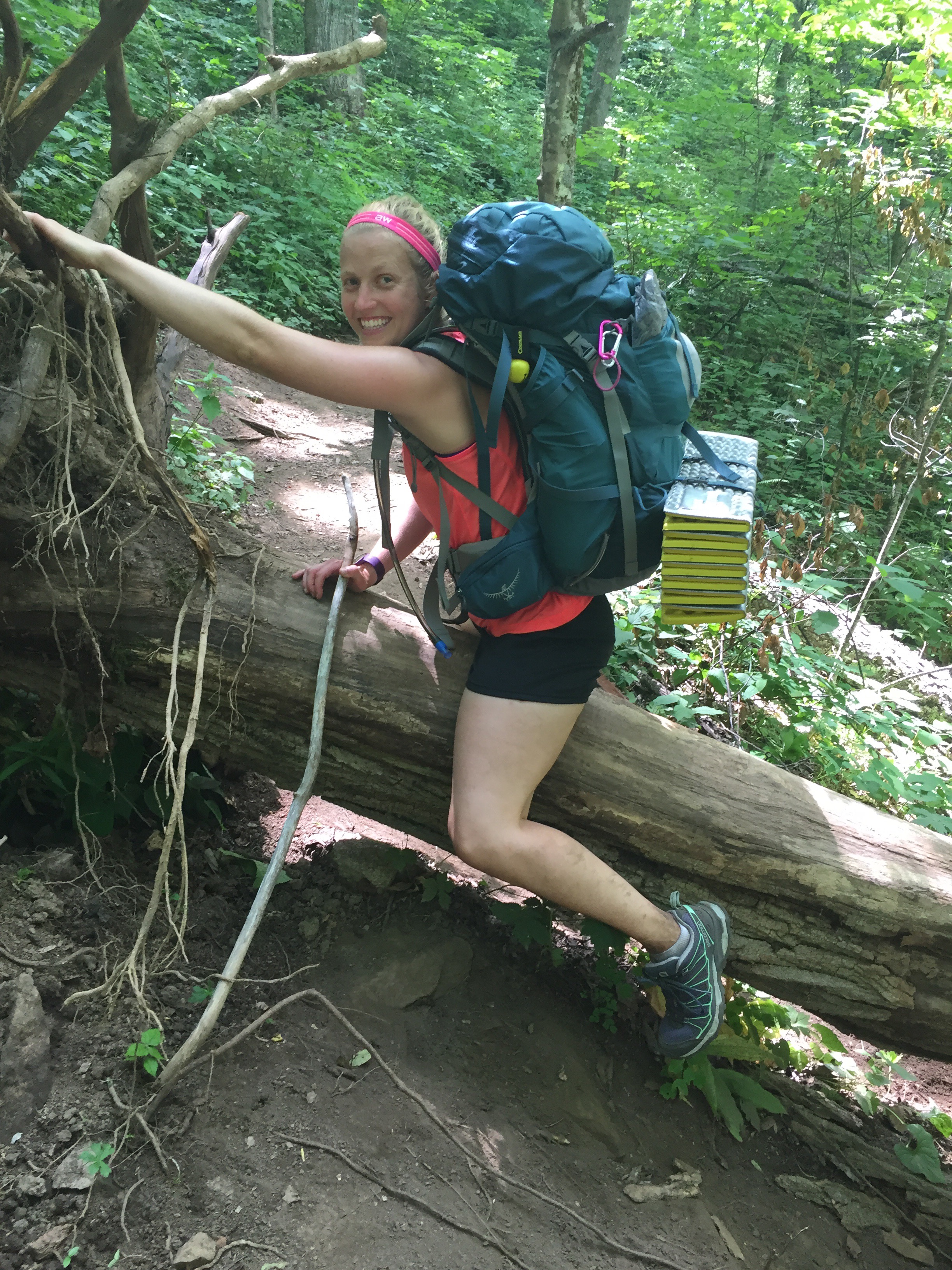
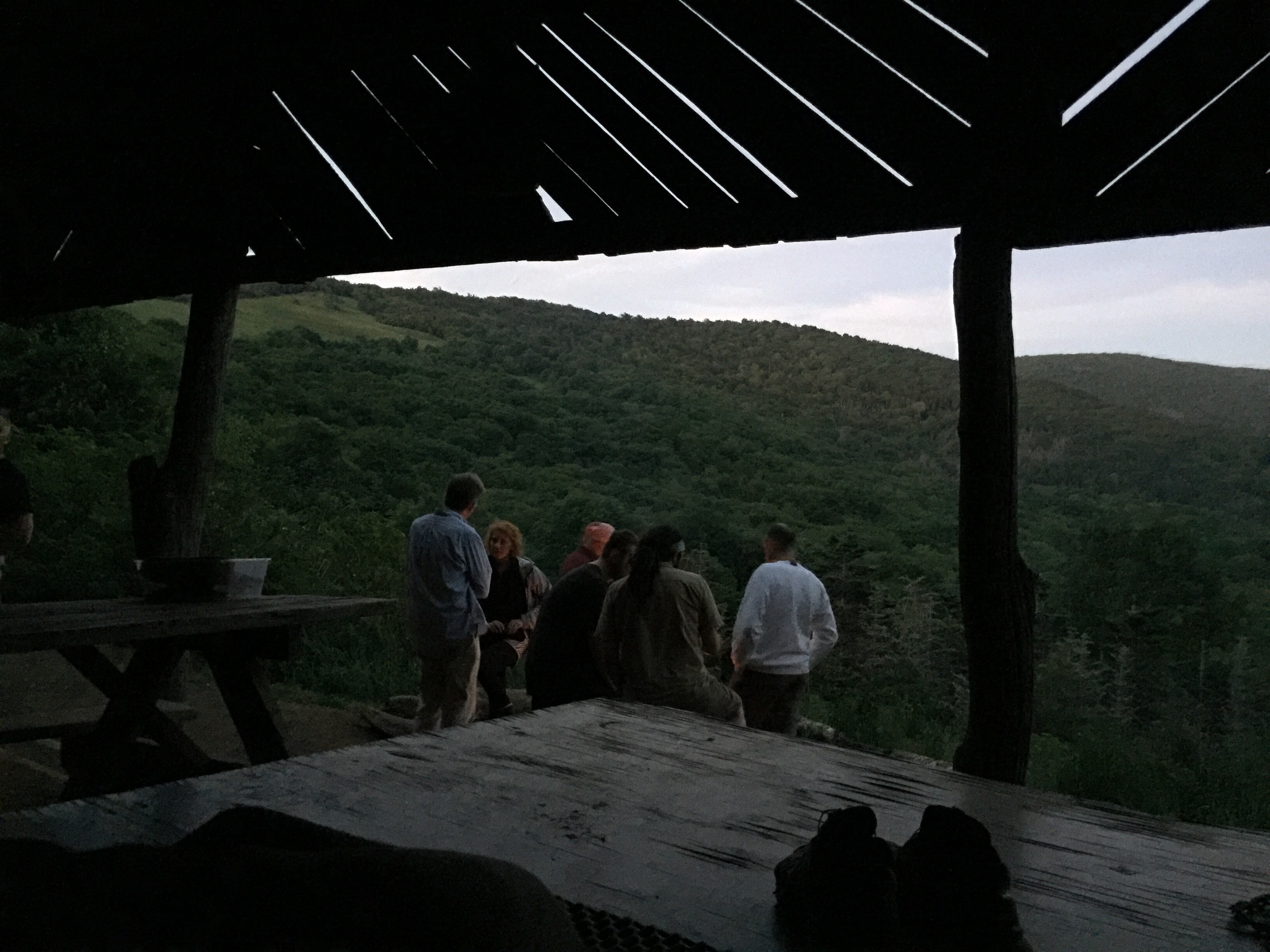
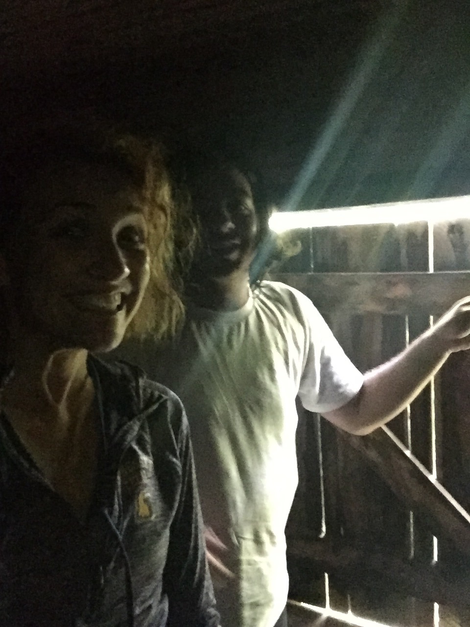
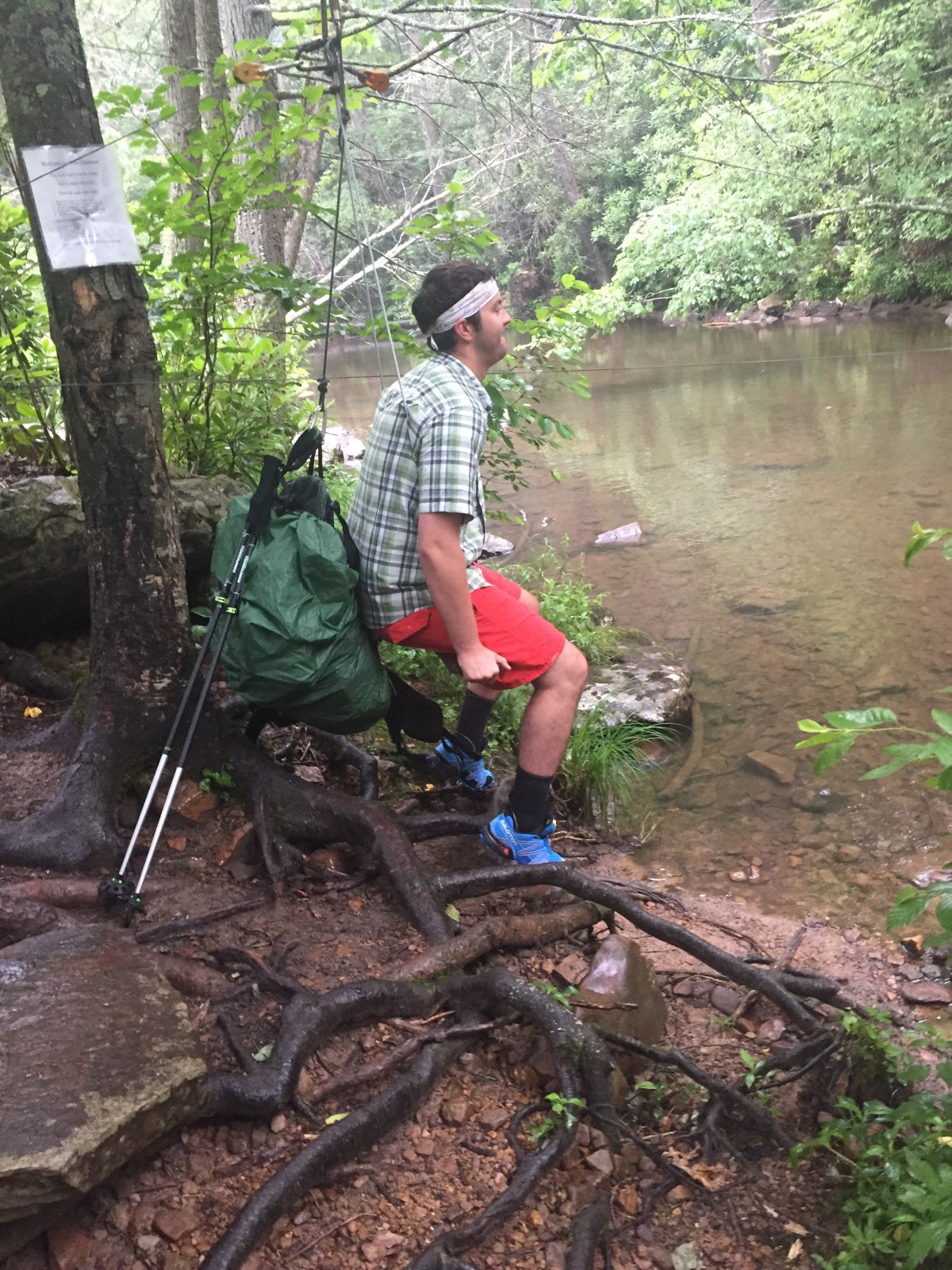
We made it to the Captain’s place (after a ridiculously pointless 400ft PUD- pointless up and down) and took the zip line across. 


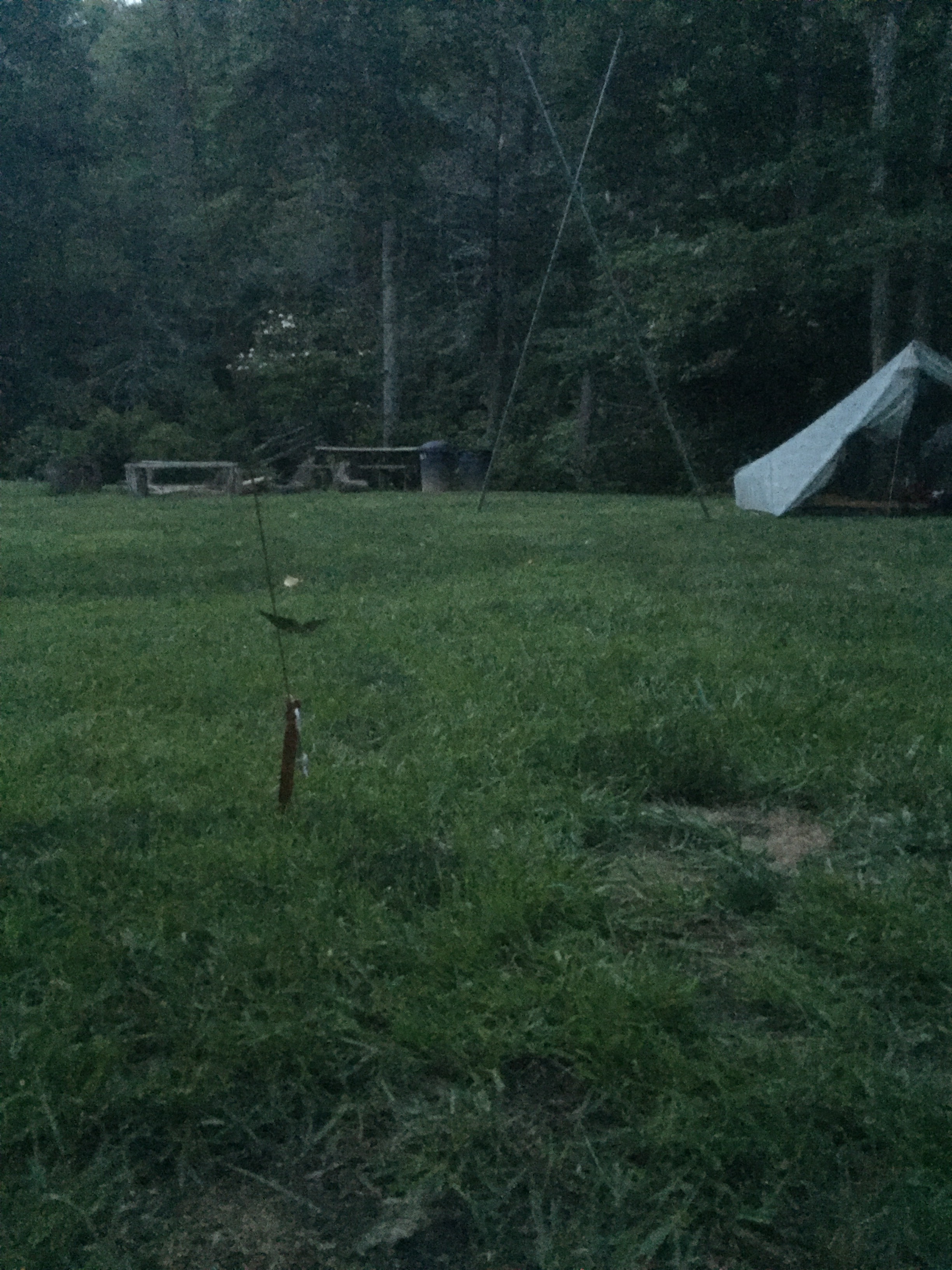
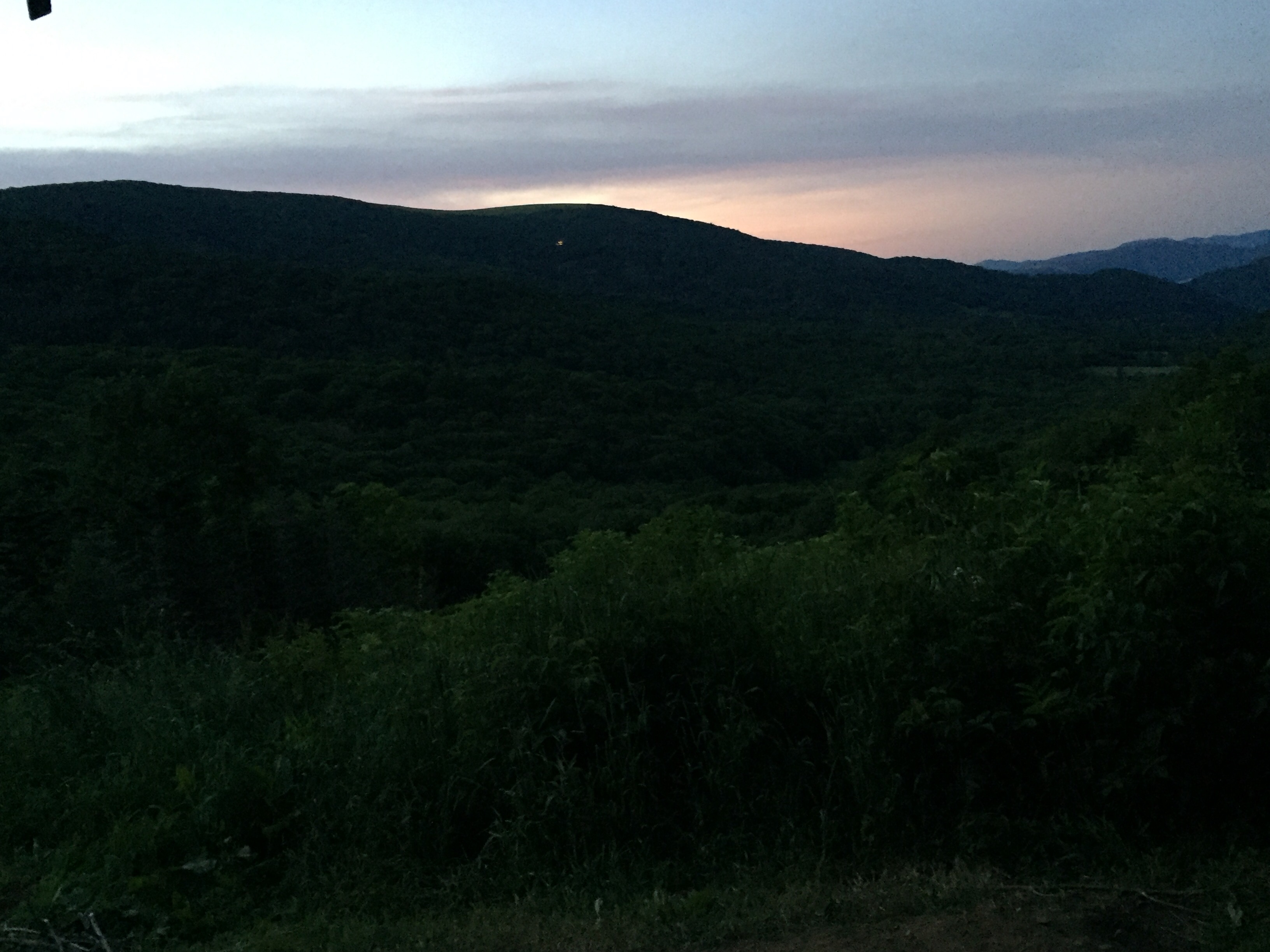
We set up our tents, had a fire and dinner and a nice evening, and then went to bed. 

MVP: BEAR

LVP: virginia, where’s all your water??
Miles: 15?
*****
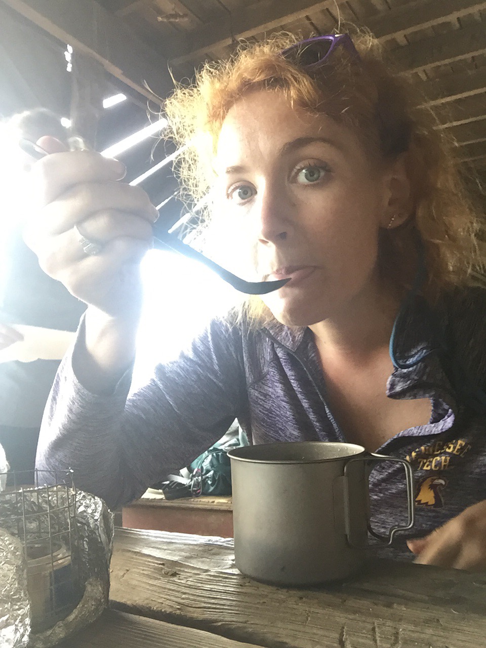
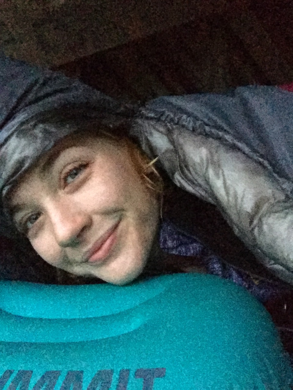
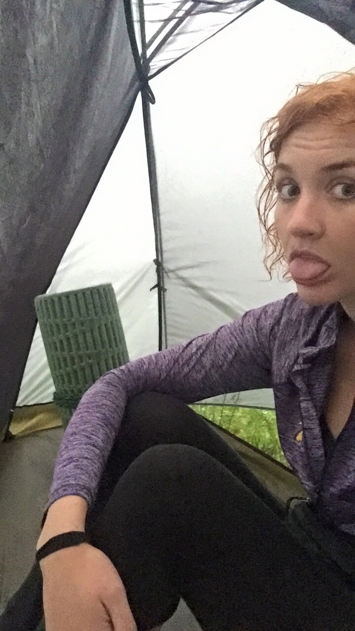
I slept with earplugs, so I slept well. I did, however, wake up to a nice summer storm. I read in my tent and enjoyed the rain beating down on my tent. And I ate a bag of goldfish. And some chocolate. 


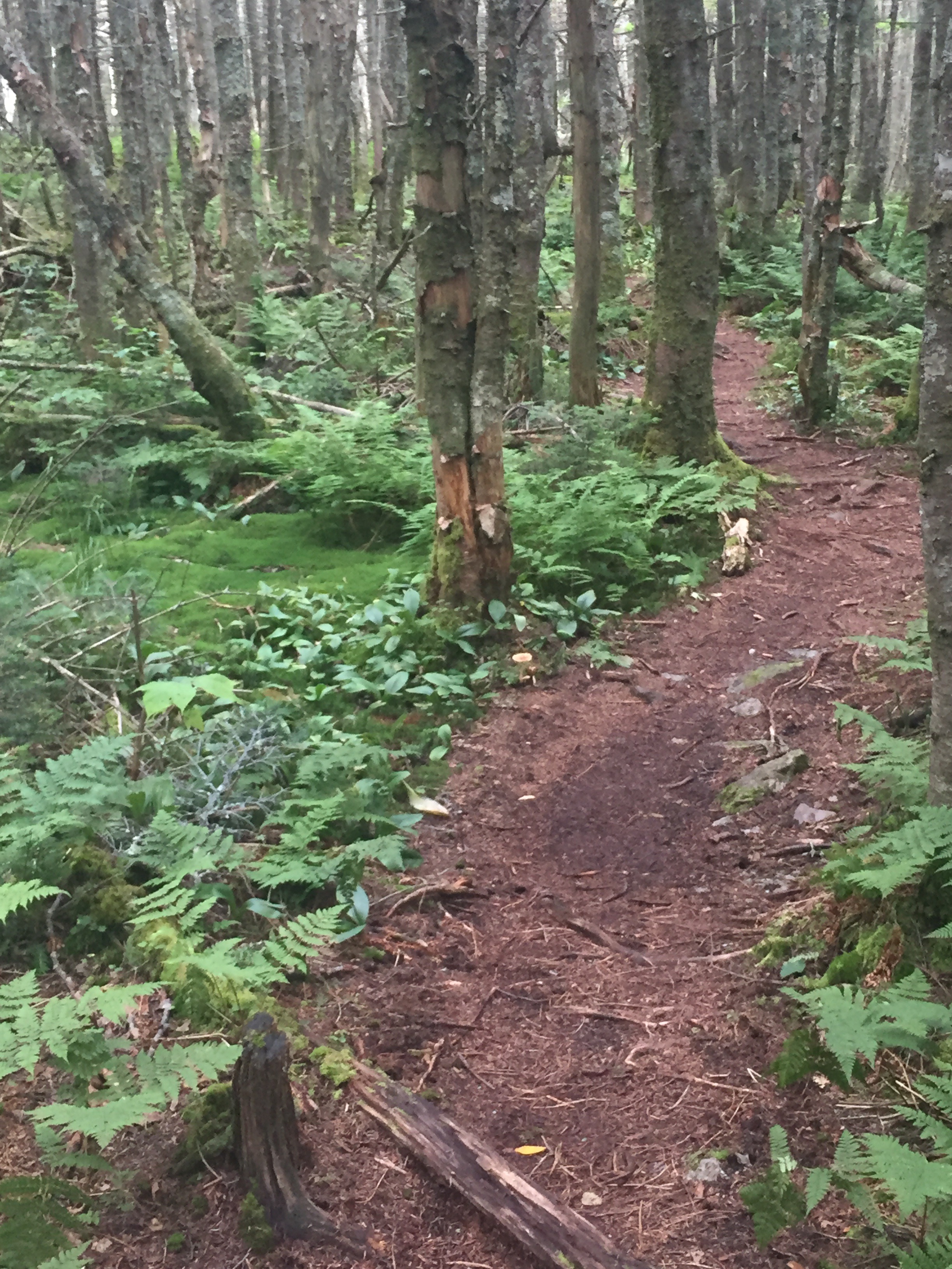
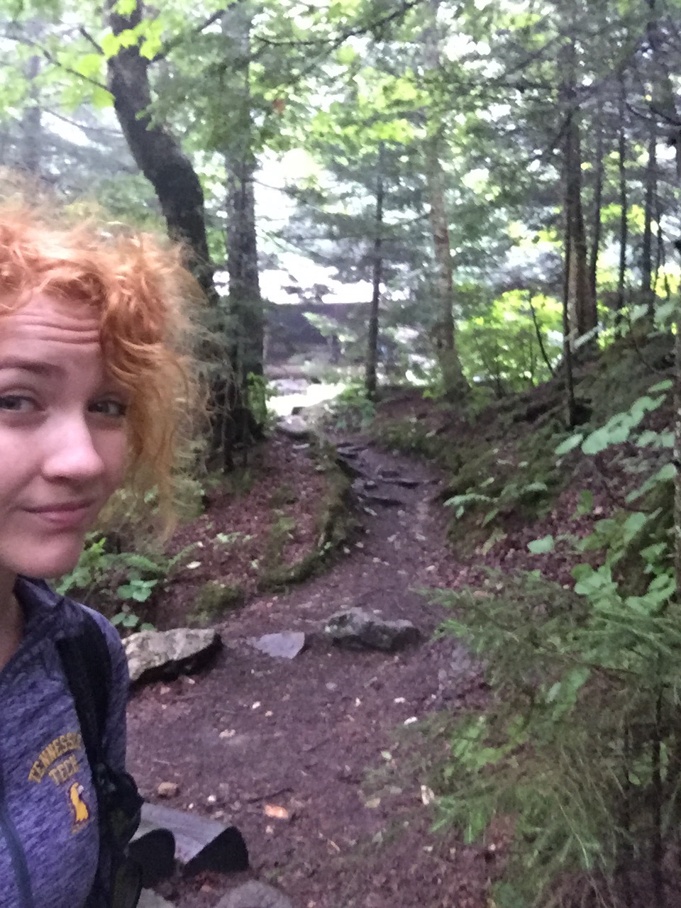
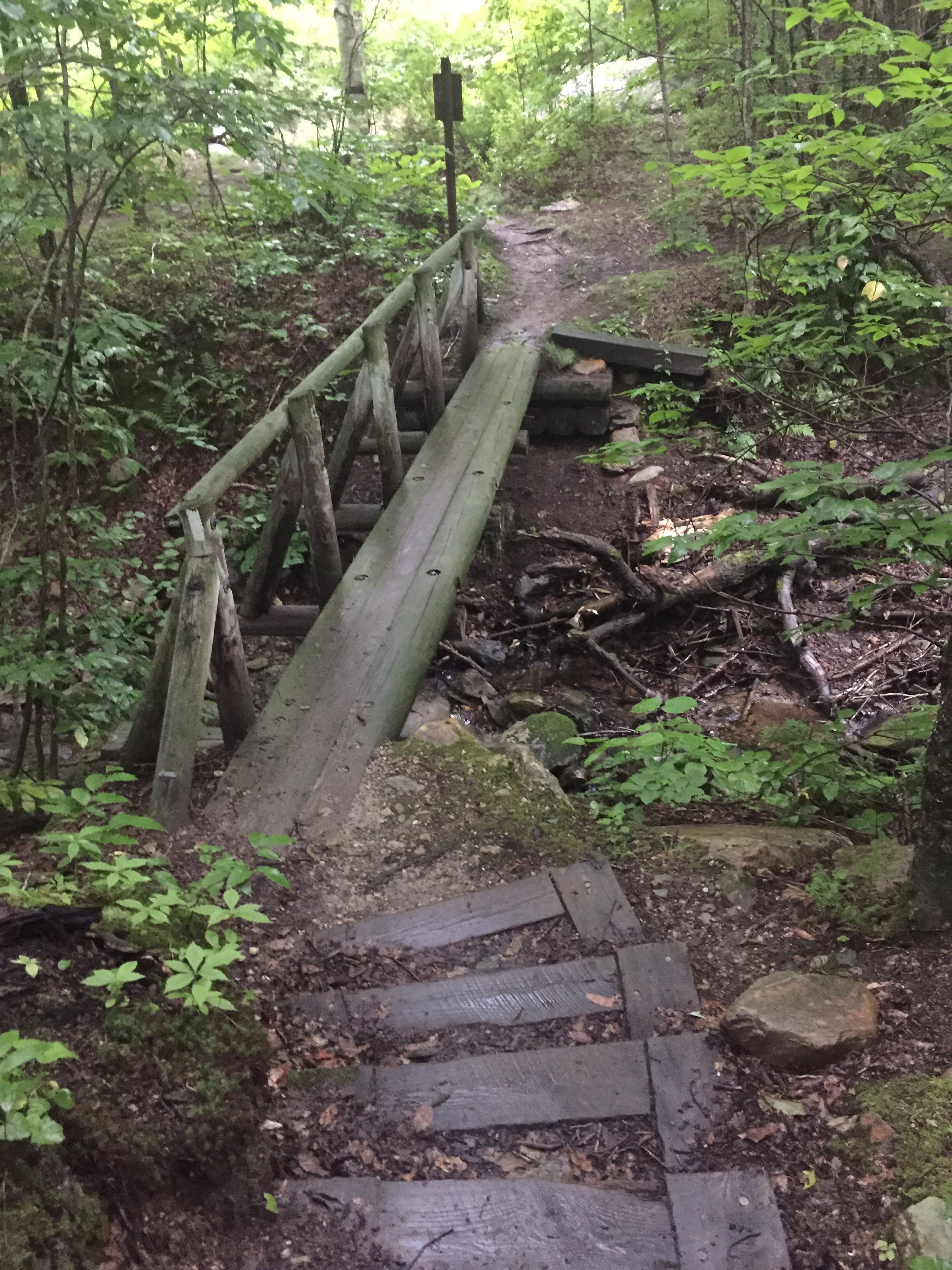
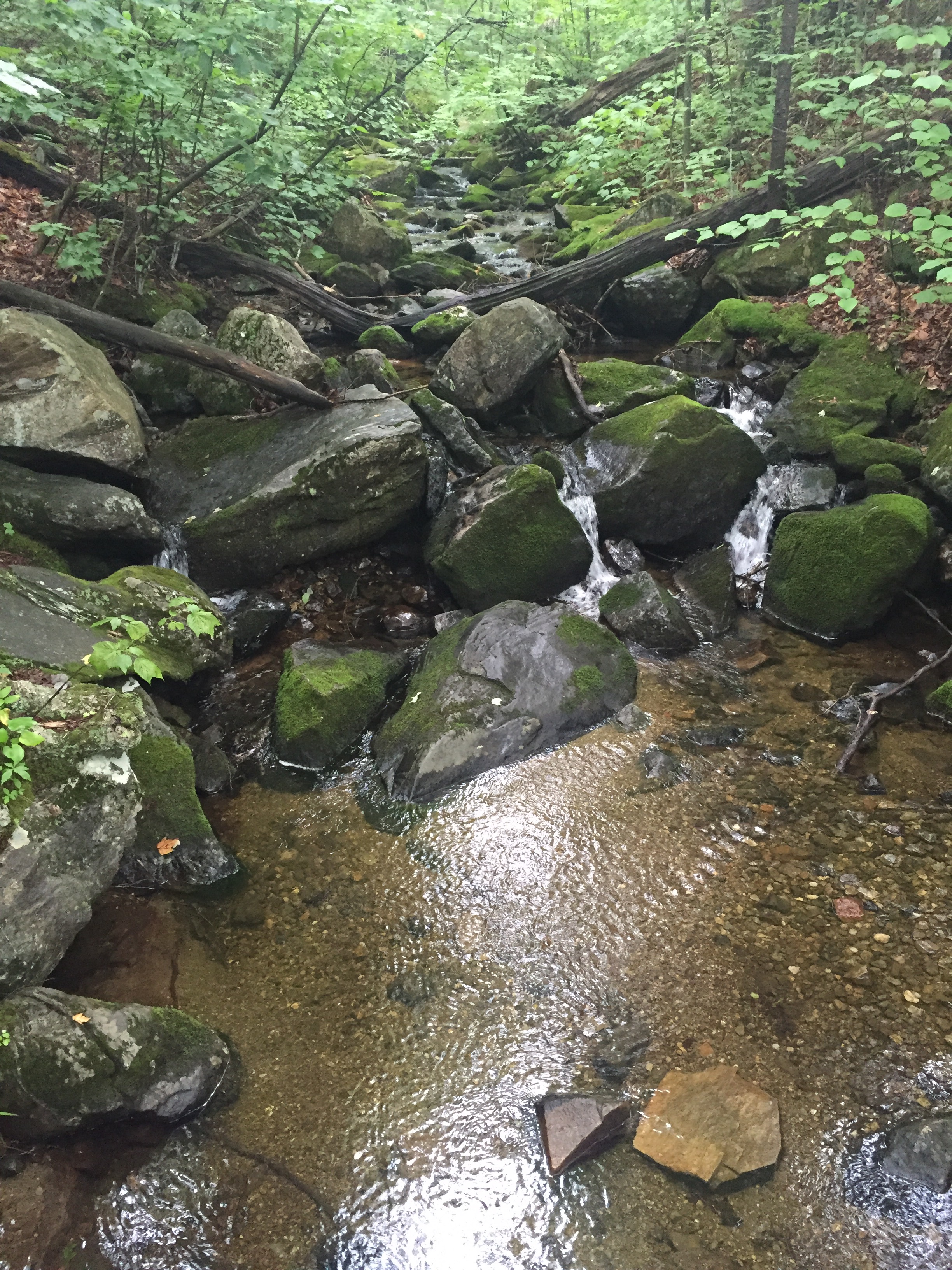
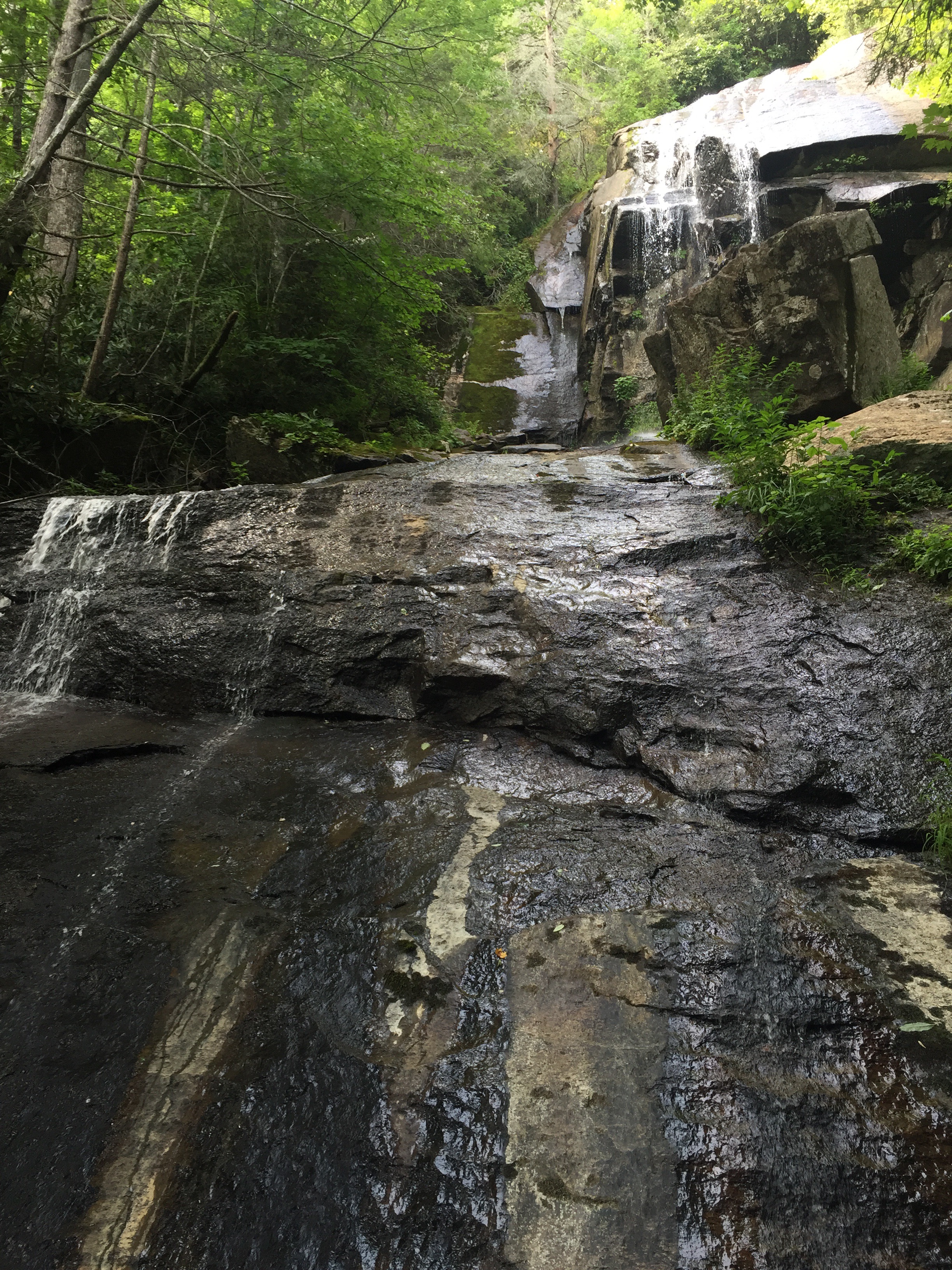
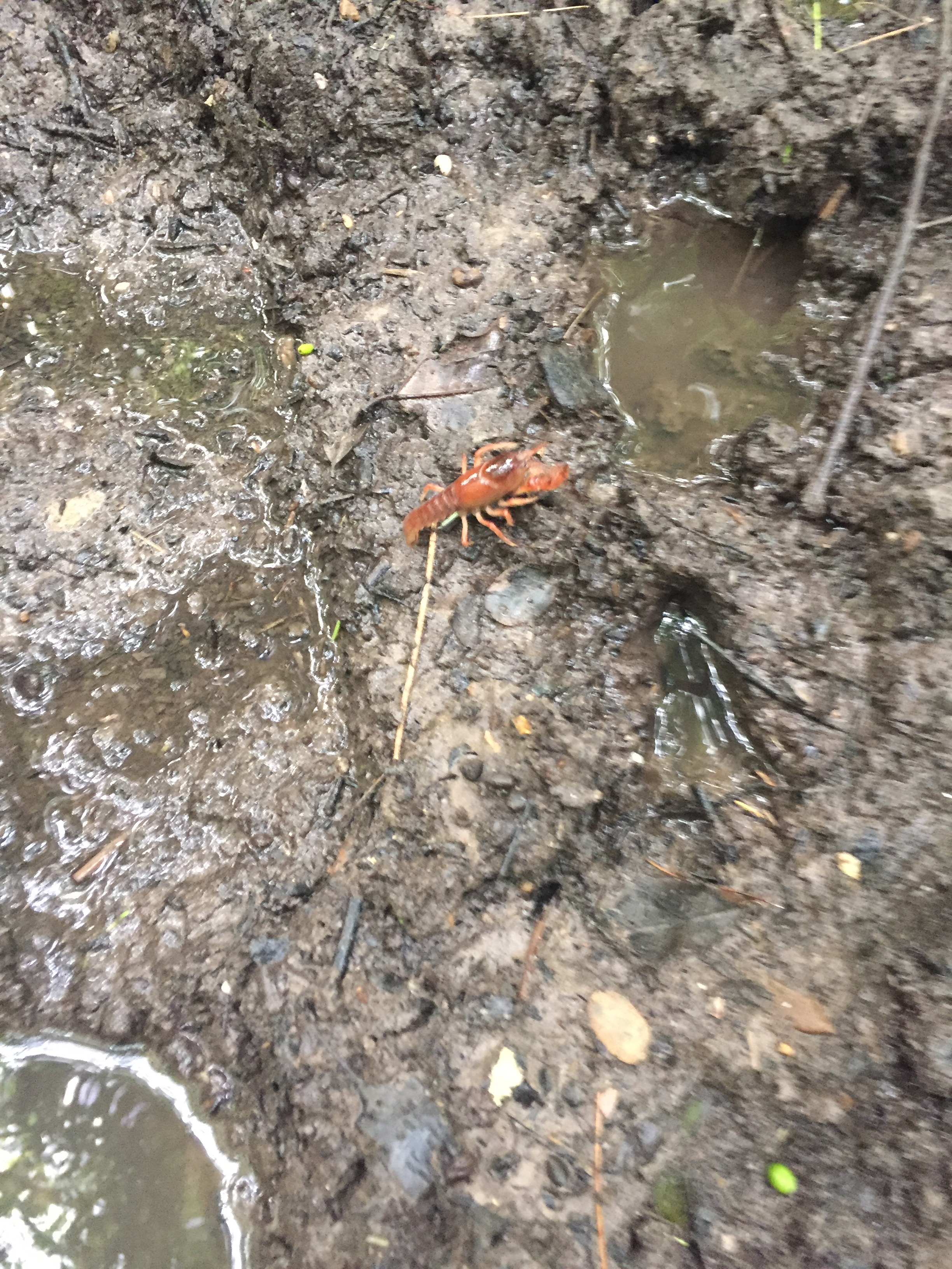
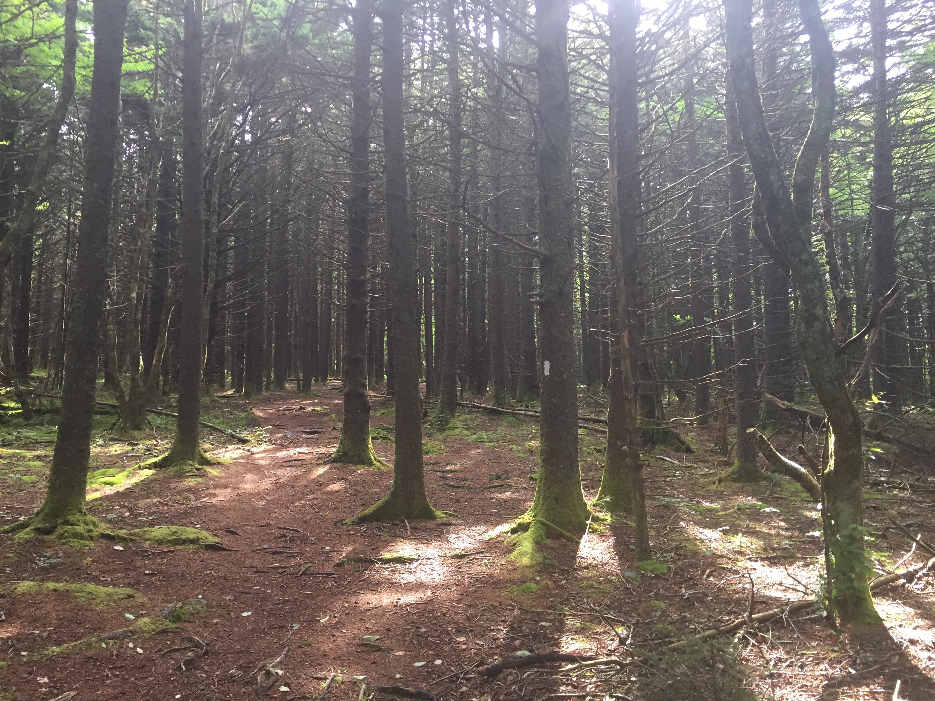
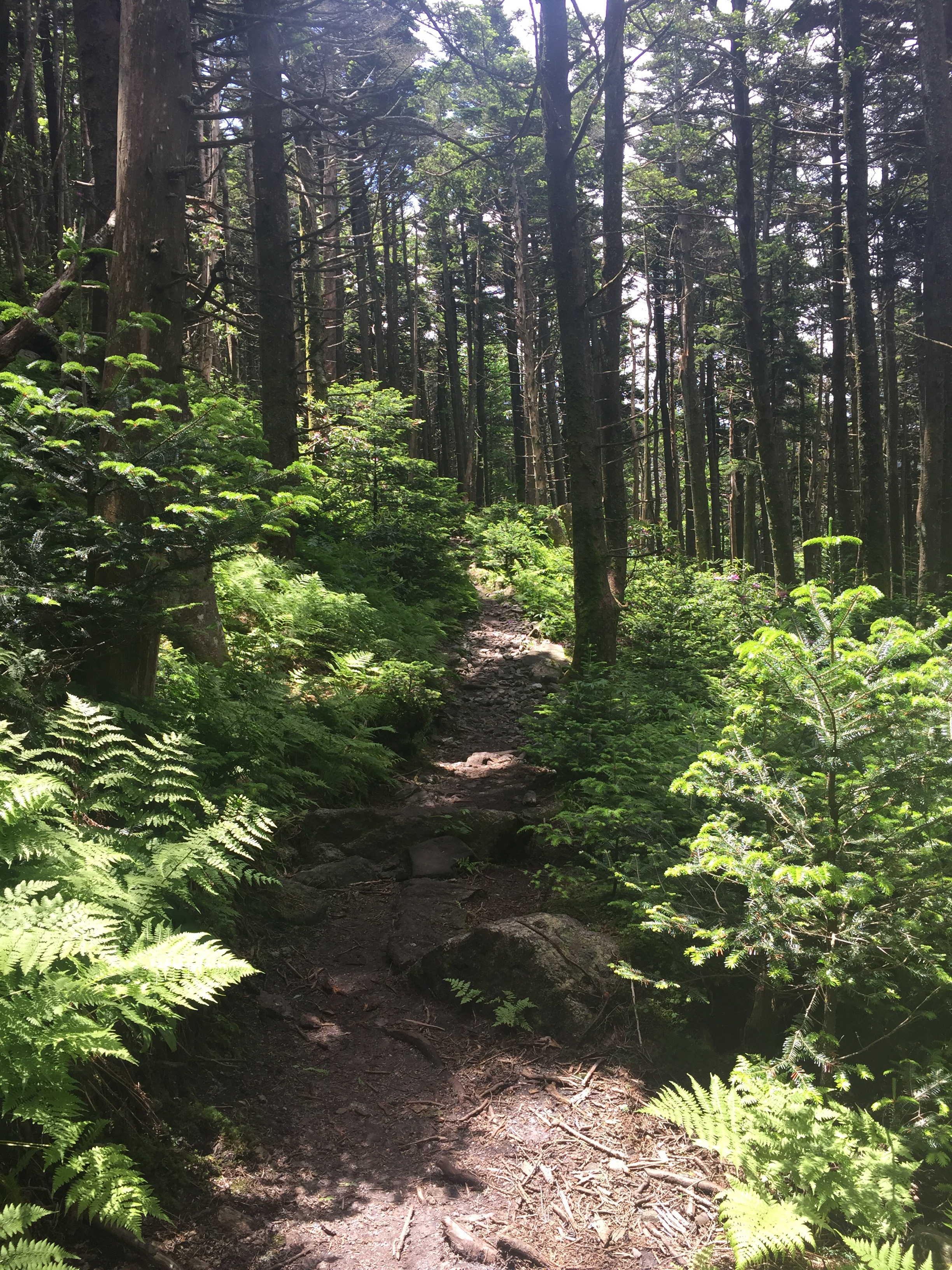
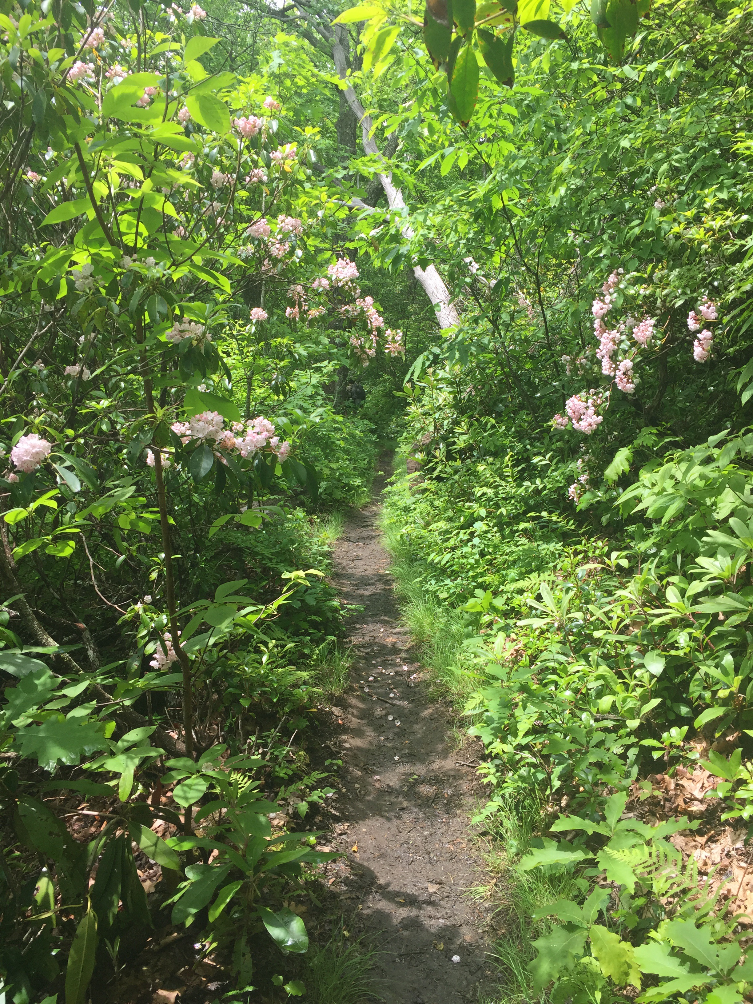
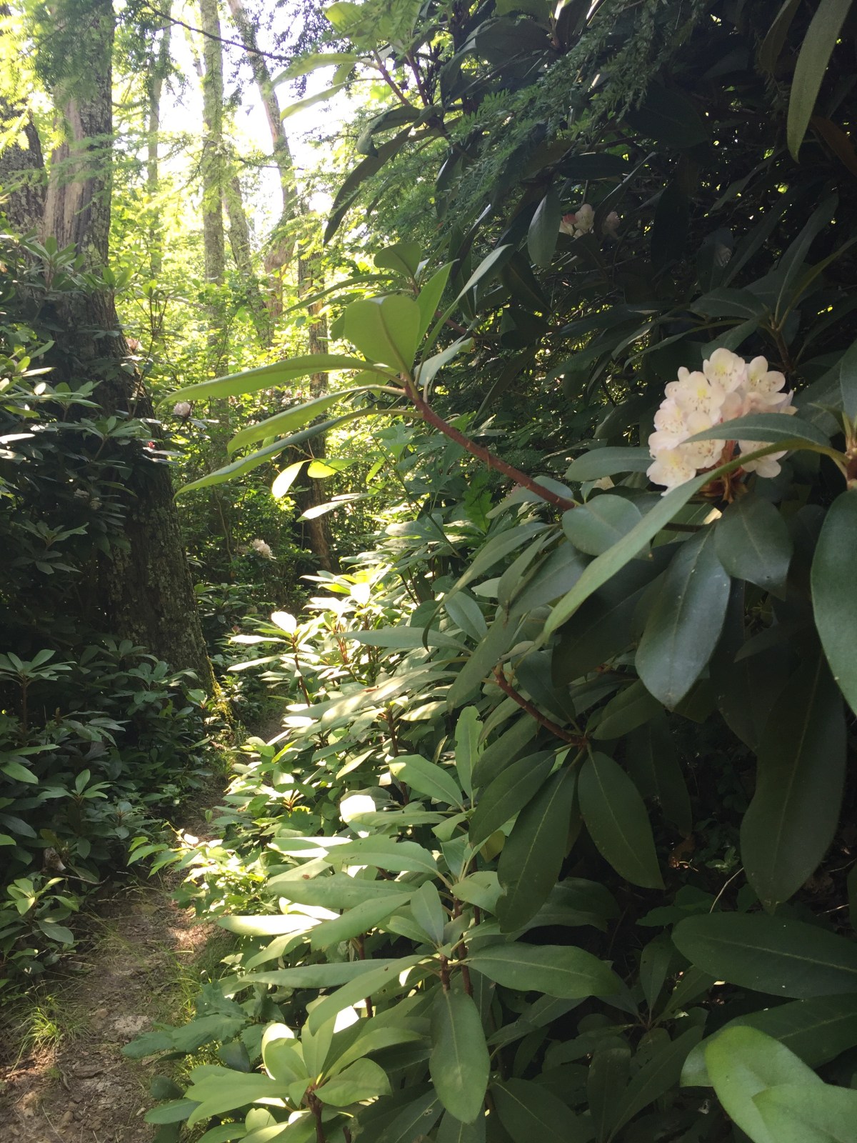
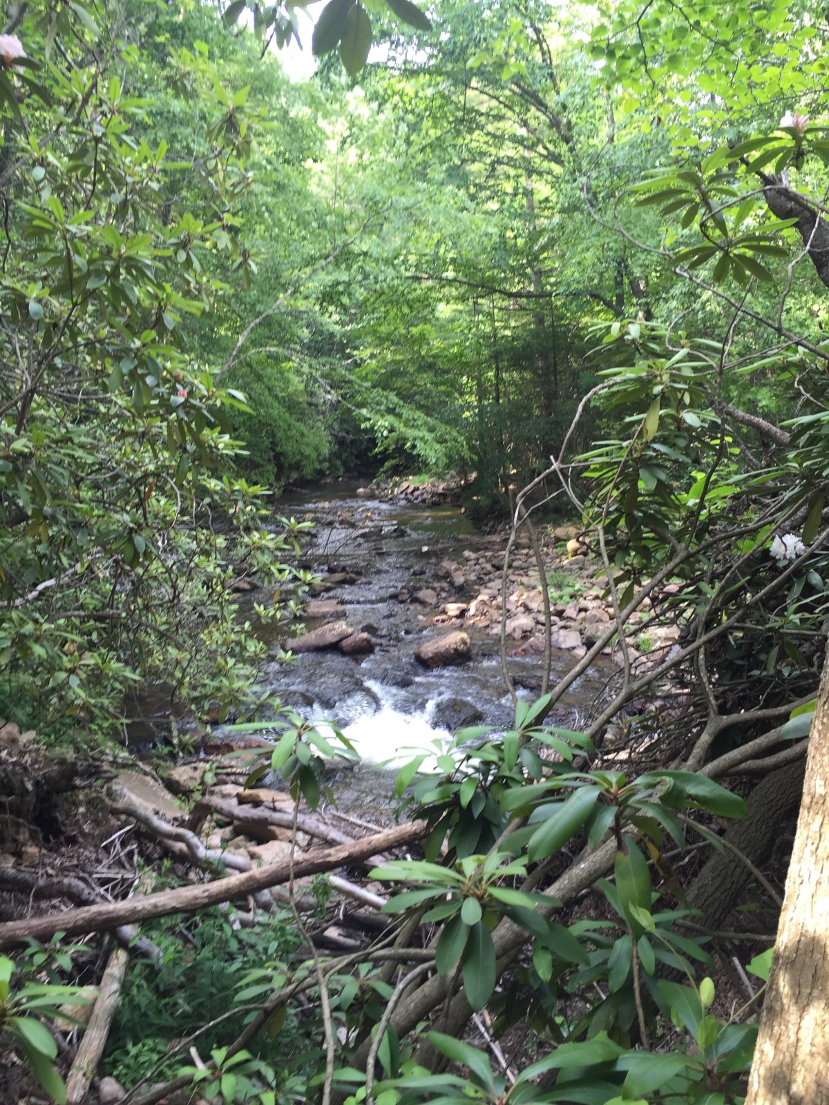
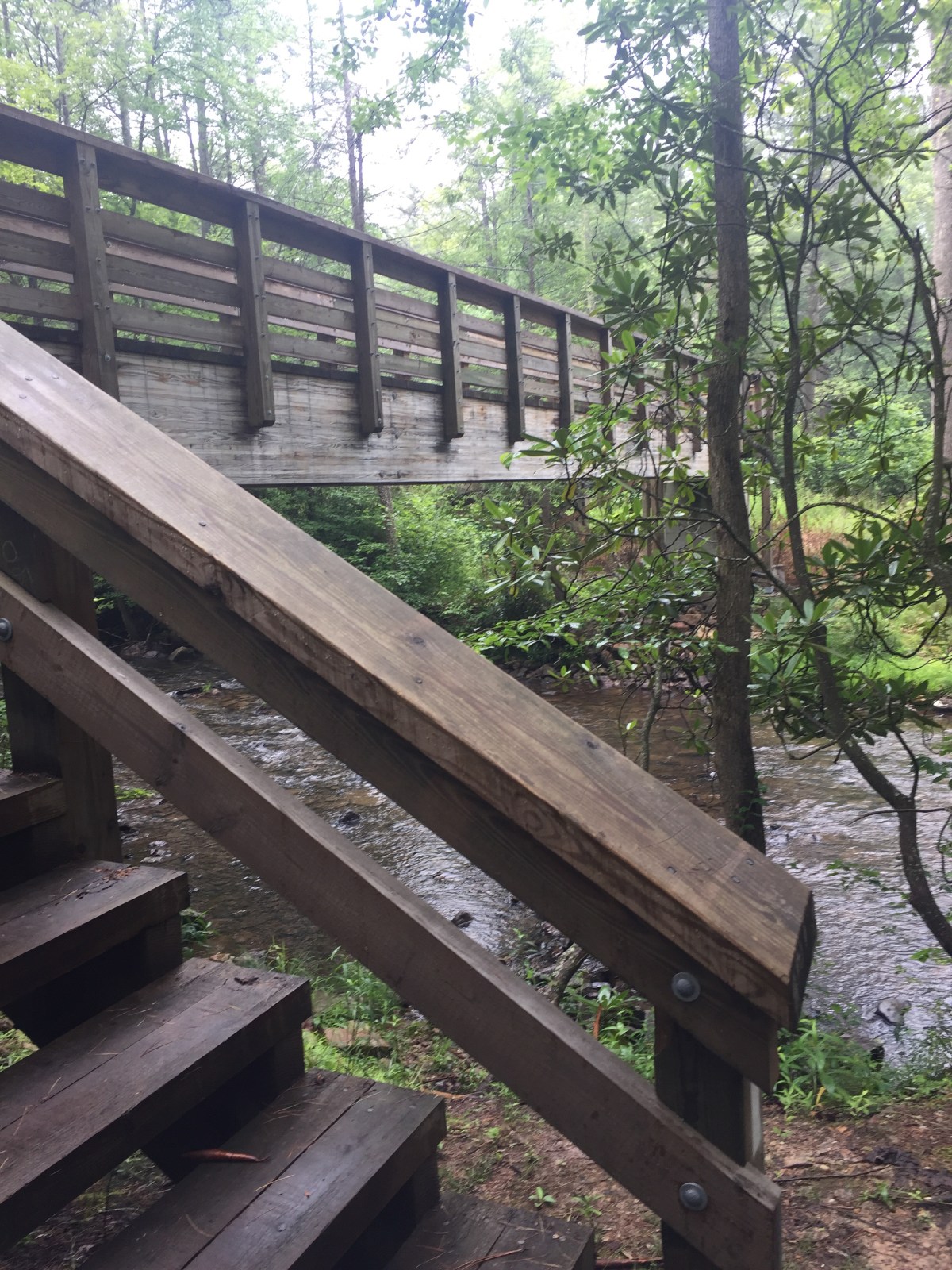
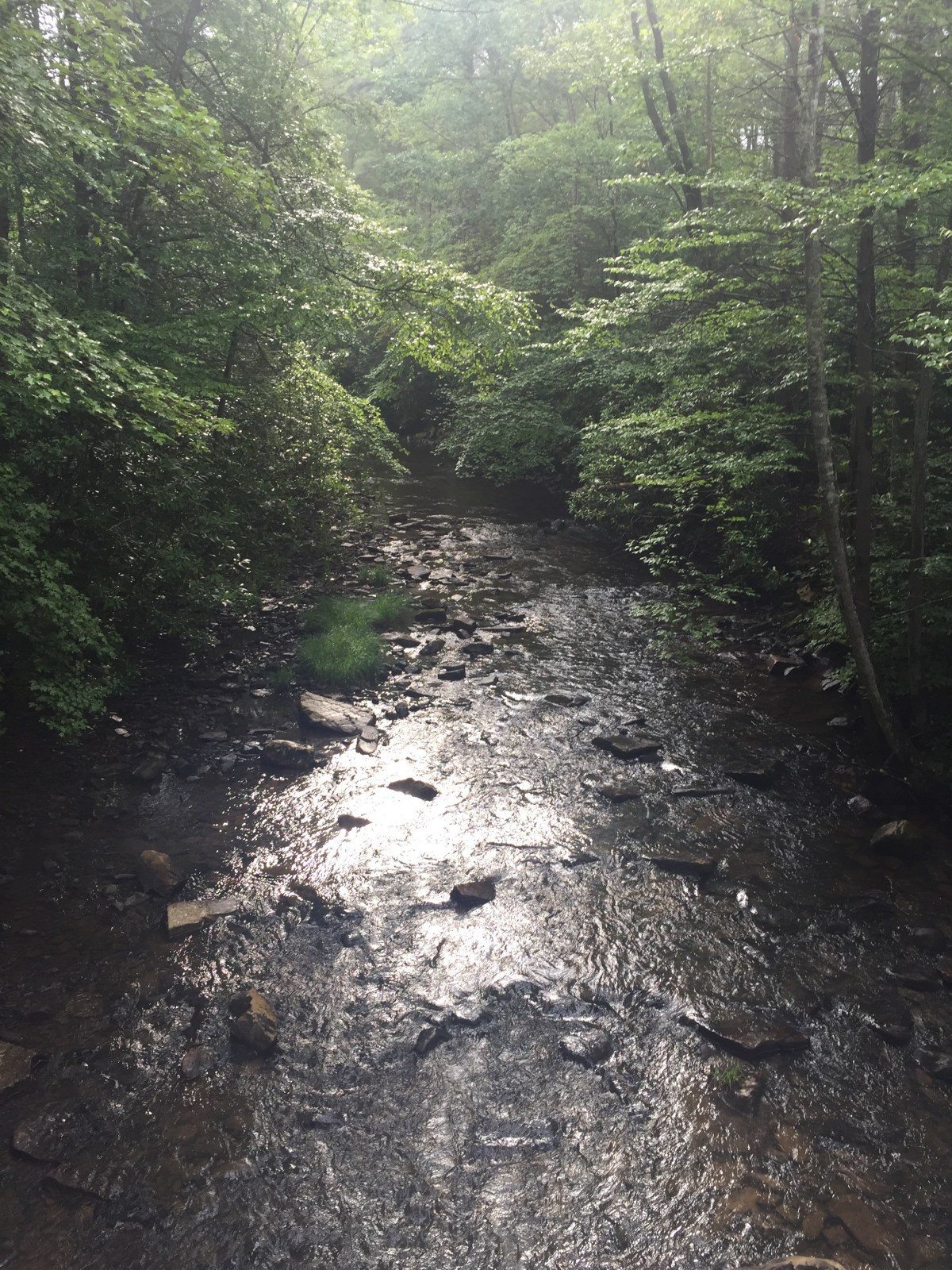
We got up and started hiking eventually. The trail was flat and muddy and soft and a pleasure to hike on, and even came with a craw daddy! 


After the creek crossing came the climb though. It was about 2 miles of uphill and I was ready. 


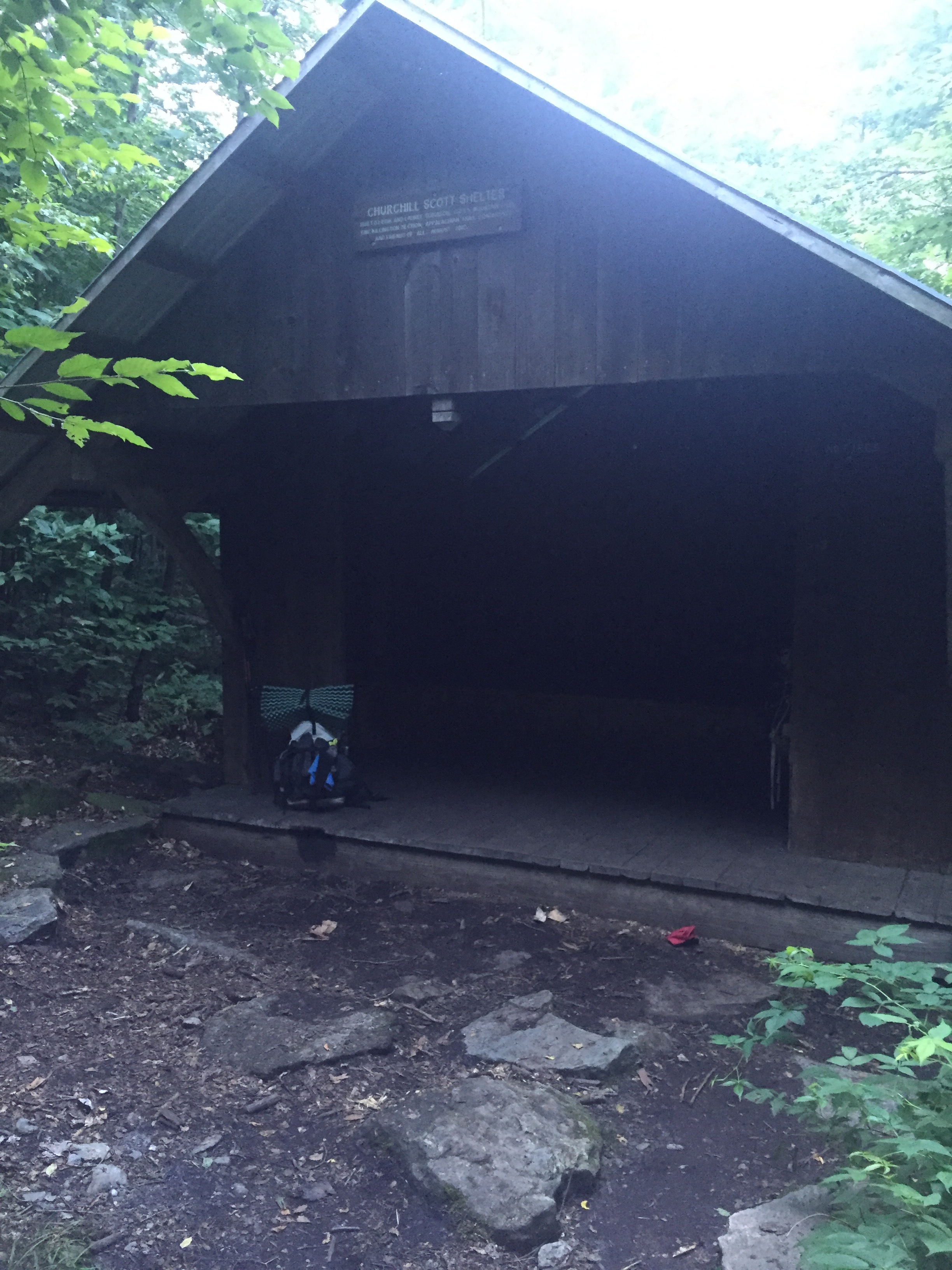
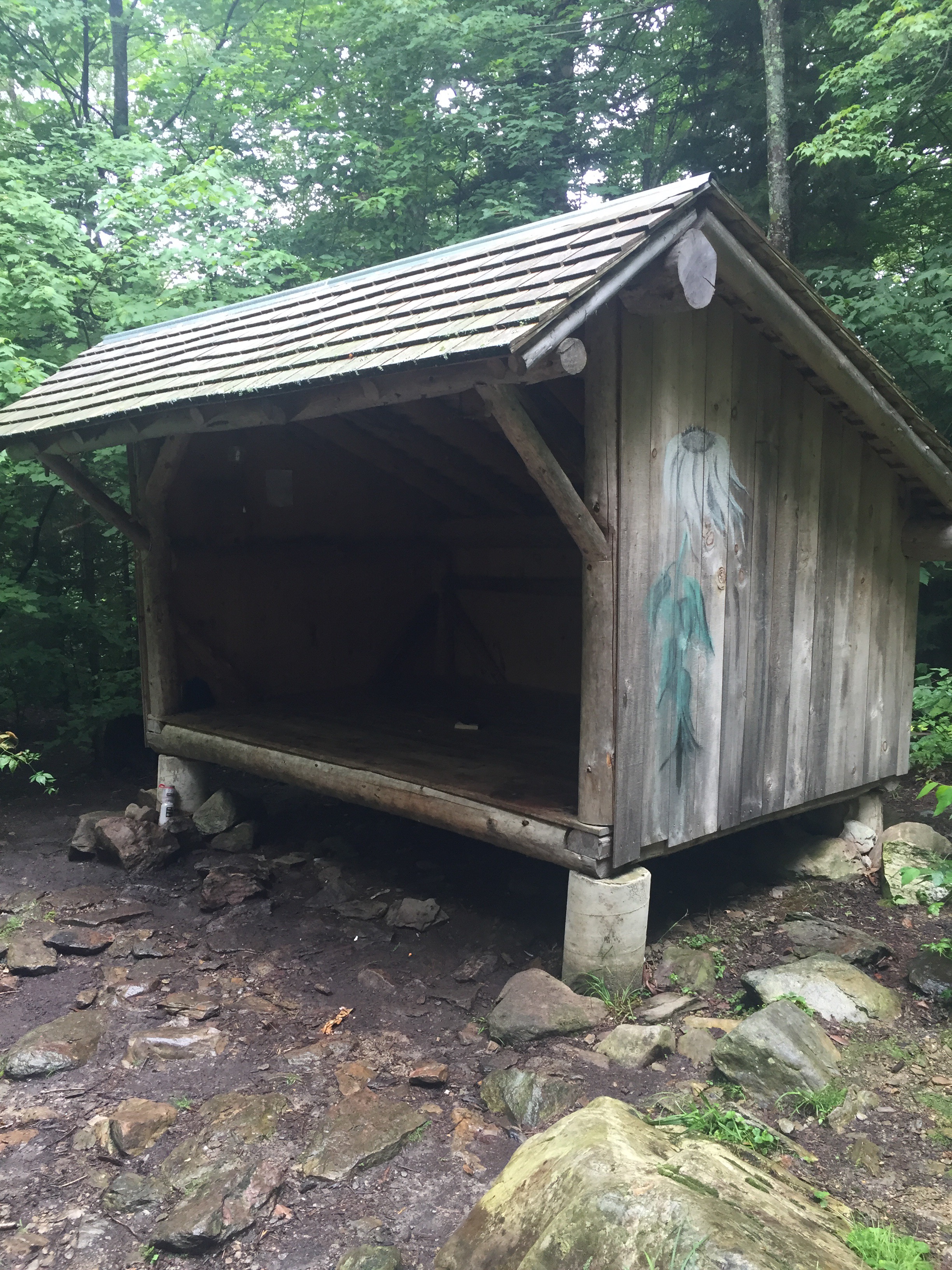
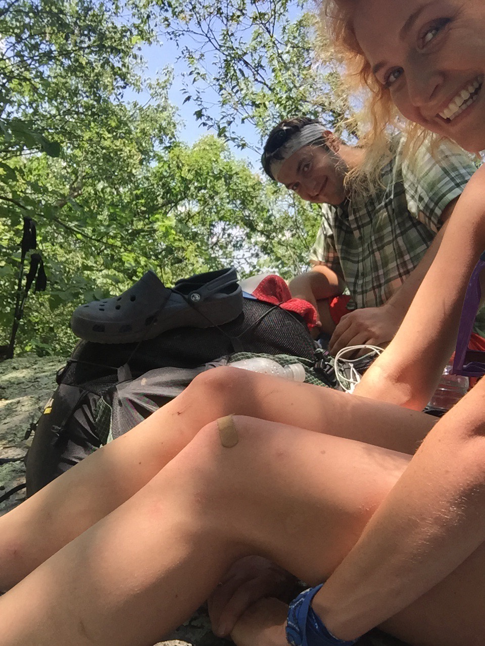
We stopped for lunch at Bailey Gap shelter and I took the opportunity to brush my teeth. 


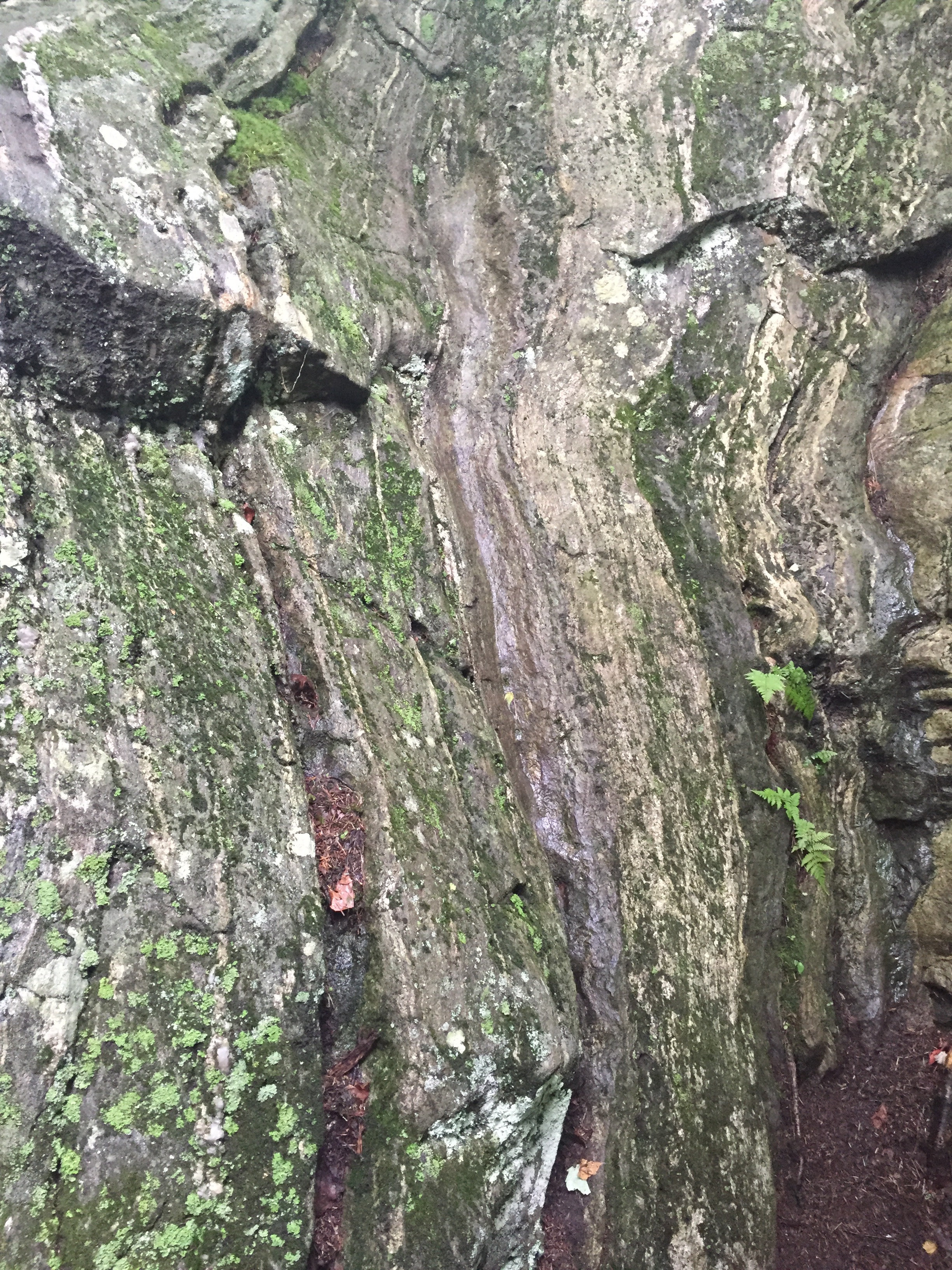
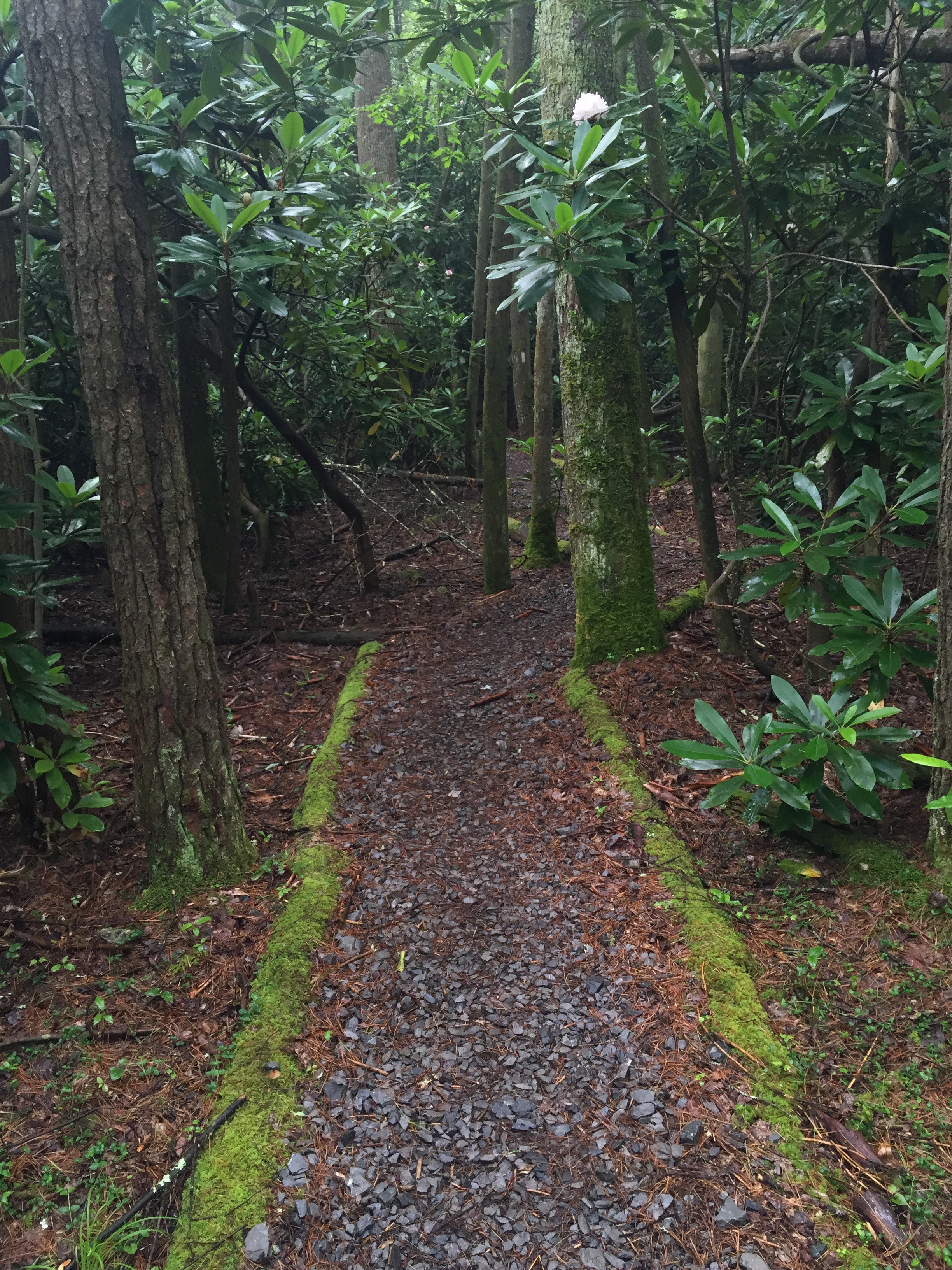
The trail was rocky but mostly flat.


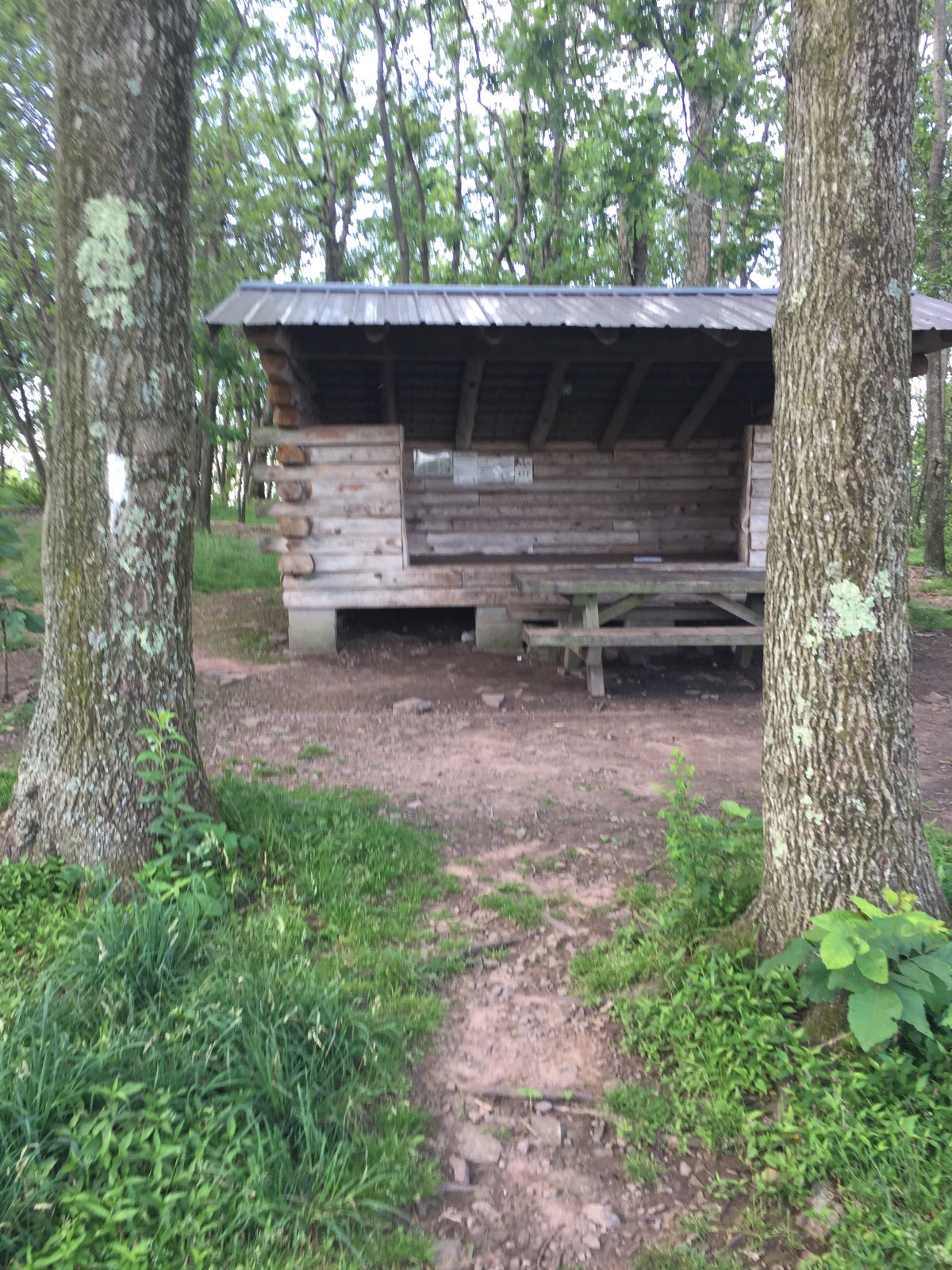
 We called it a day a little early and stopped at War Spur shelter. It had rained all day and wasn’t going to stop. Stopping early just meant an 8 mile day Monday, which still wasn’t bad. 

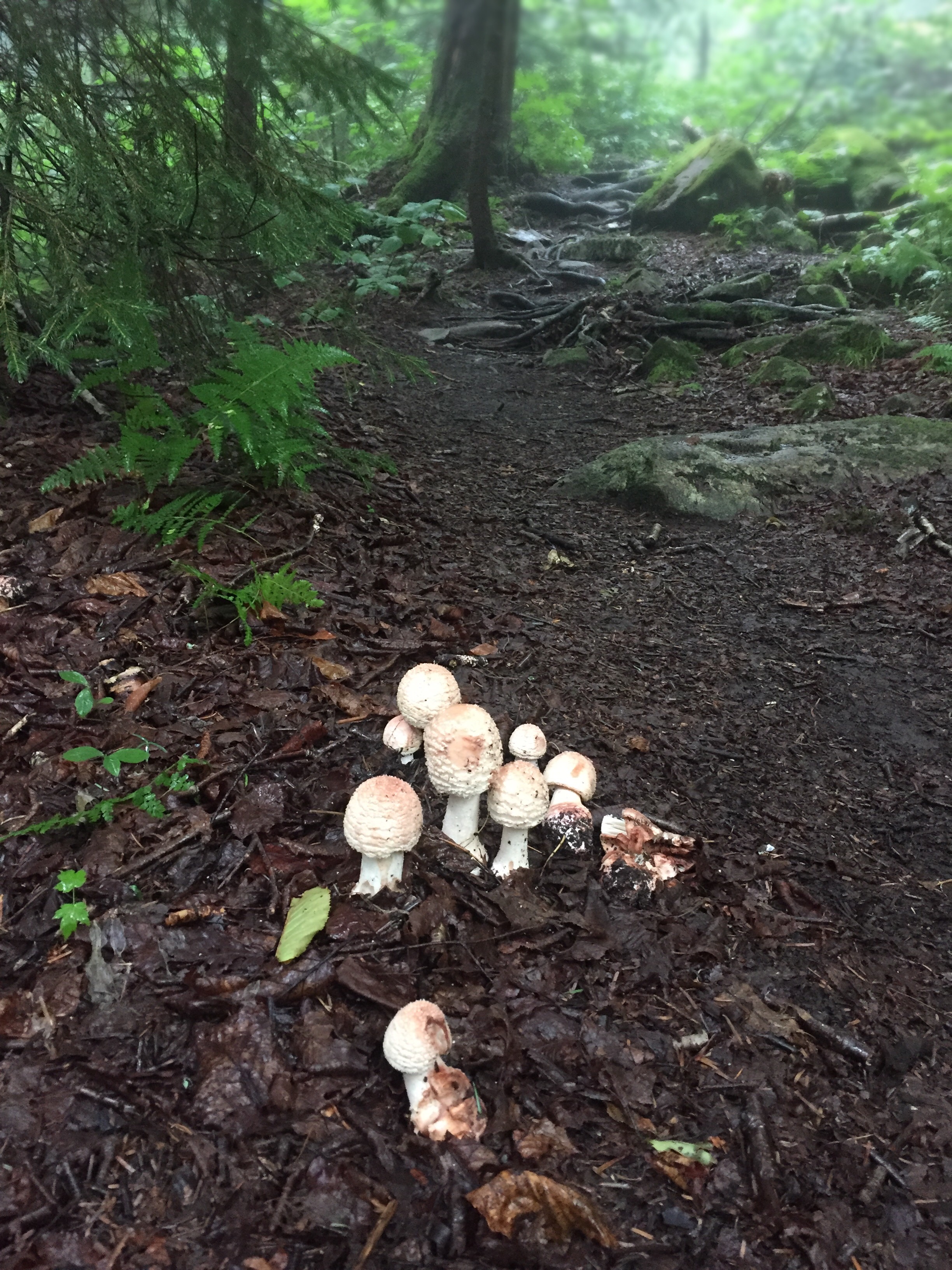
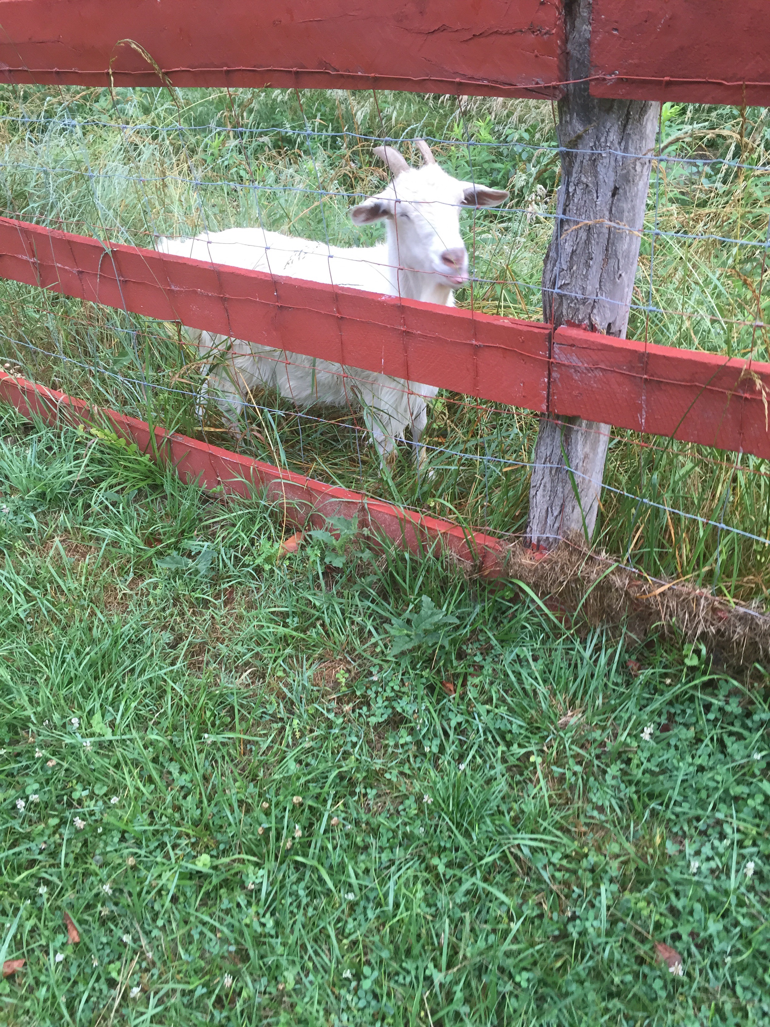
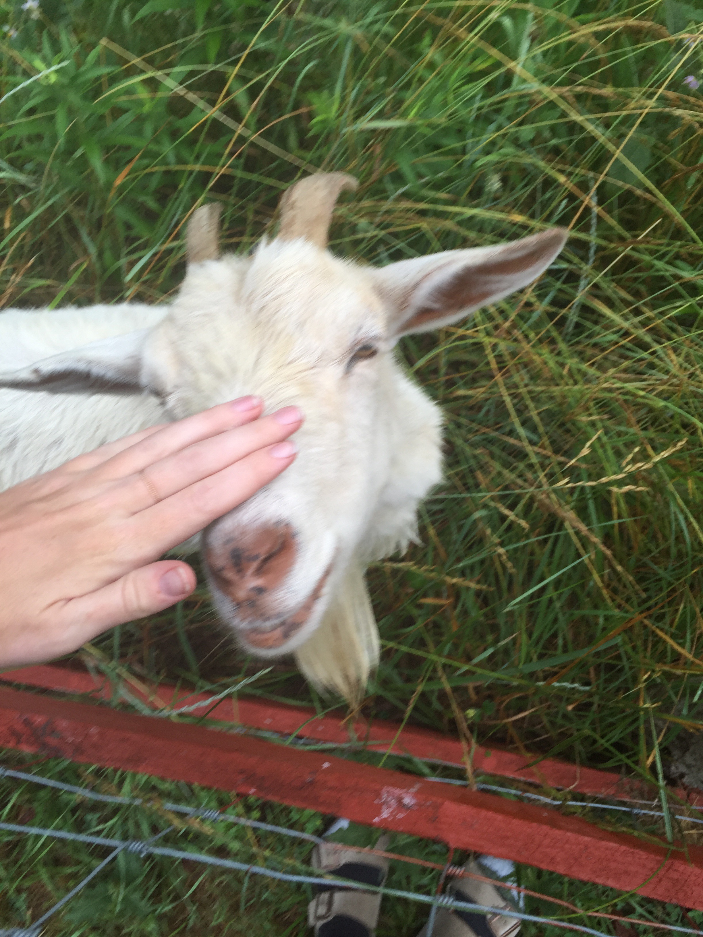
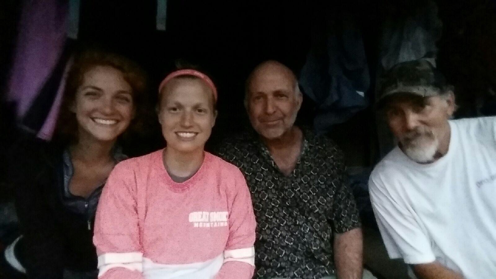
On the way to the shelter we met Goat Gas, foraging for mushrooms. He was headed to the shelter as well, and we didn’t know what that would end up meaning for us. 

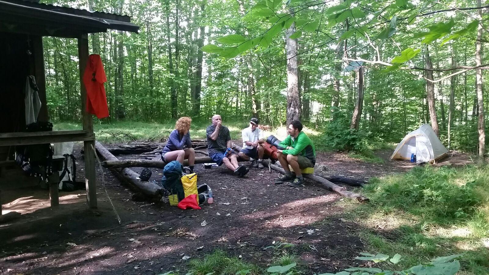
We found two section hikers at the shelter. They had their stuff all spread out and were nice but clueless. They soon left for more hiking. It was pretty early; maybe 2 or 3 PM. 

Goat gas eventually made it, and we learned he was a thru-hiker who had left Springer in February. Early February. He was averaging 8 miles a day. He was meeting two other thru-hikers, one of whom was the 2004 (?) wake boarding champion, but they try to keep that on the down low. 

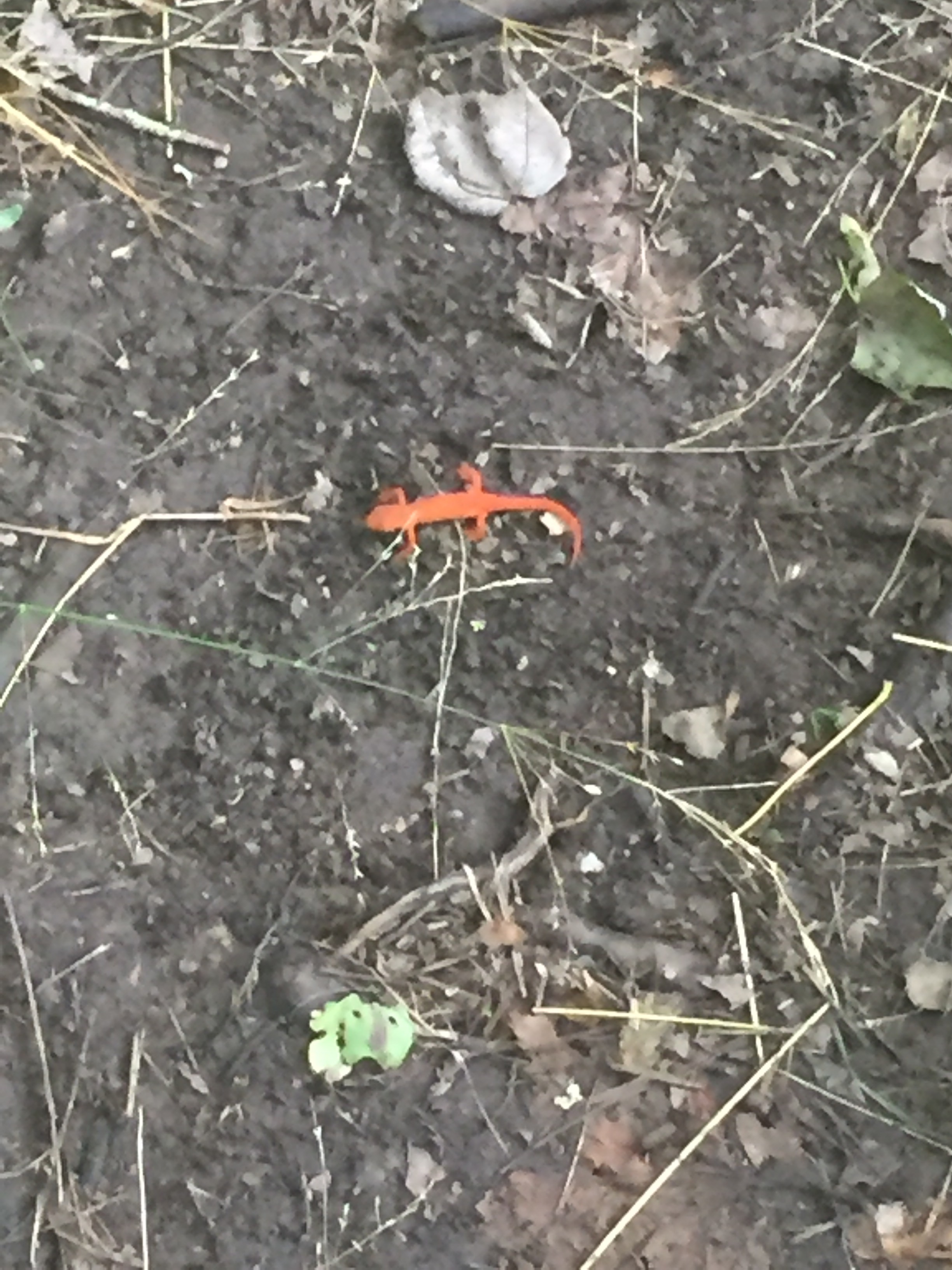
He’d been foraging for Chicken of the woods, a bright orange mushroom that tastes like chicken. He set up his tent on a huge slope and wandered off. 


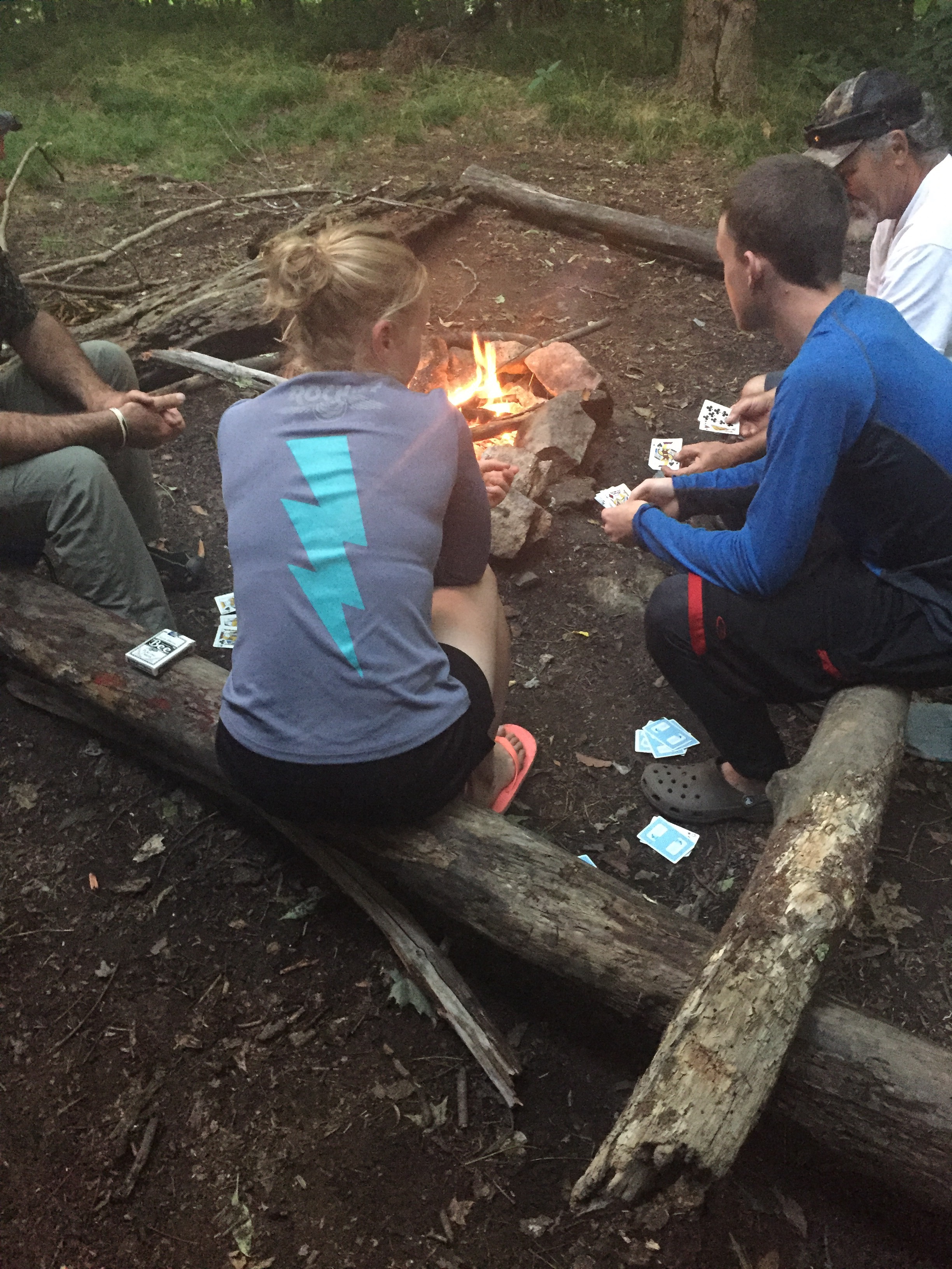
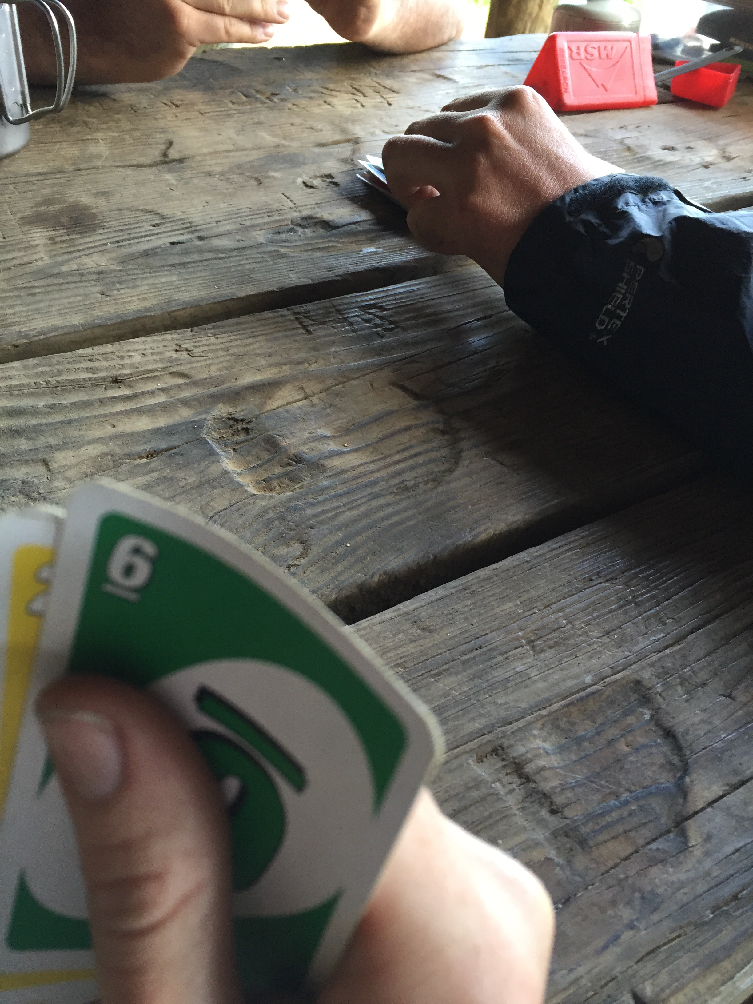
Gambit and I ate and bickered and laughed and read and eventually the other hikers, Over Easy and Whirly Bird, showed up. They had a huge bag of mushrooms and I supposed it made sense how it had taken them sense March (when they’d started at Springer) to get to mile 666. (To be fair, Over Easy told us they’d also taken time off for family things and spent time in towns, as well, but I suspect mushroom foraging and blog posting slowed them down as well.)
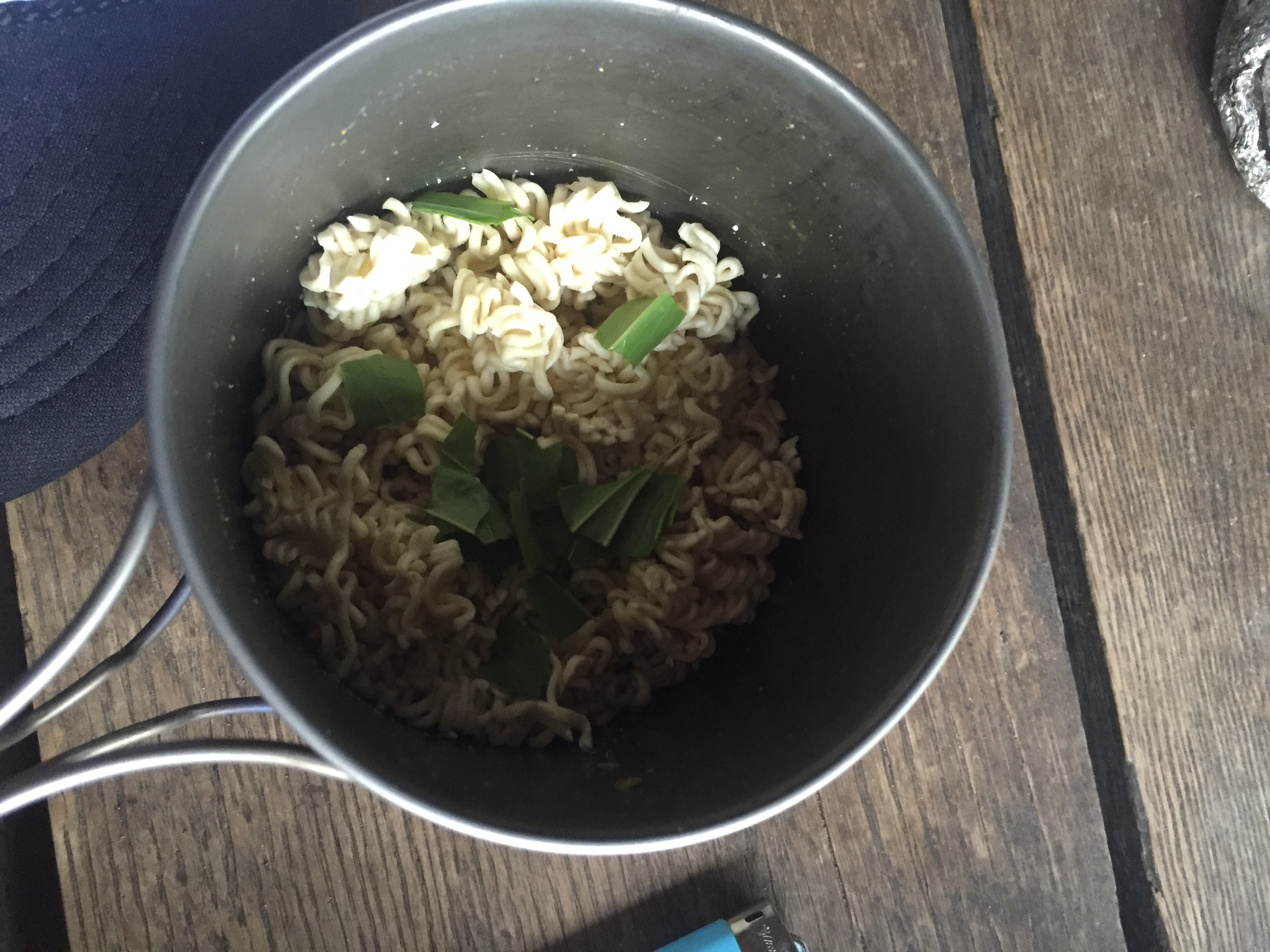
They cooked it up and offered us some and I ate it. It did taste like chicken. Goat Gas also gave me some plantains, a weed that grows everywhere, so I threw it in my ramen like spinach. Tasted good. 


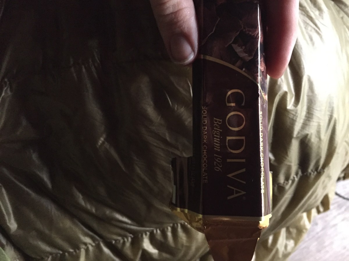
Goat Gas was talking about having lost his bear bag rope.. and earlier that day I had found a small bag with rope in it on the trail. I’d picked it up. I told him, and indeed, I had found his lost rope. He gave me chocolate in thanks. And just when is been wanting chocolate but was too lazy to get up and get it out of my food bag!


We listened to some interesting conversations from them, and eventually another section hiker came in and also tented. Funny group and entertaining for sure. They’re flipping up to Katahdin and then hiking back down to Virginia, so there’s actually a chance I’ll see them again on the trail. 
We went to sleep as the rain started. 

MVP: amazing leg muscles

LVP: lack of Doritos 
Miles: 15?
*****
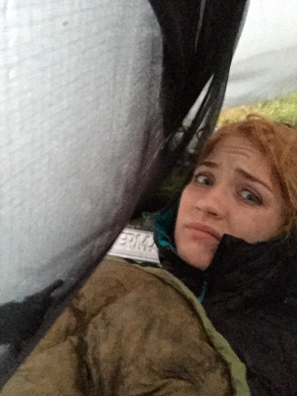
I woke up to rain. Gambit reported that *he* woke up to a bear sniffing around and then went back to sleep. 


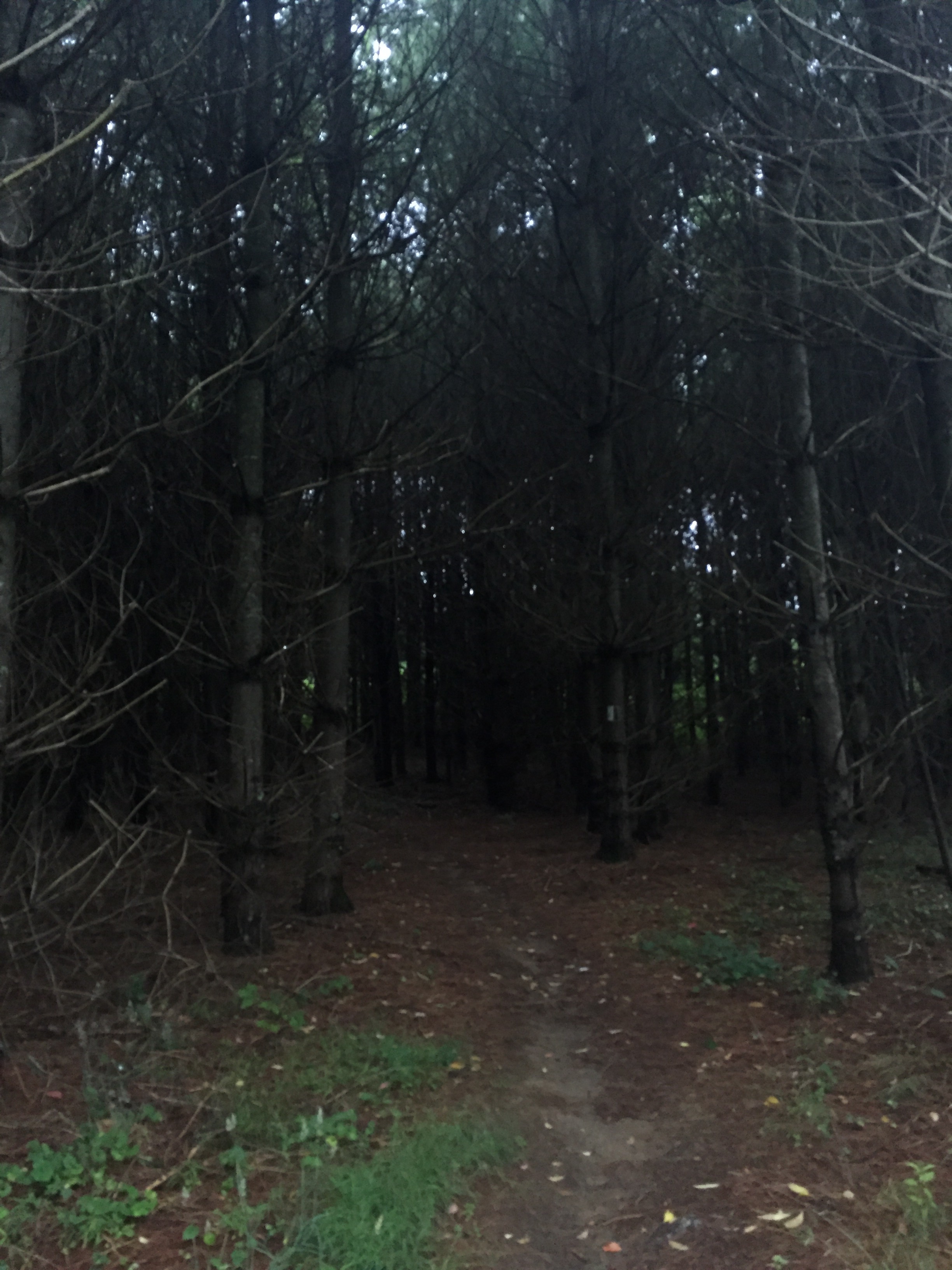
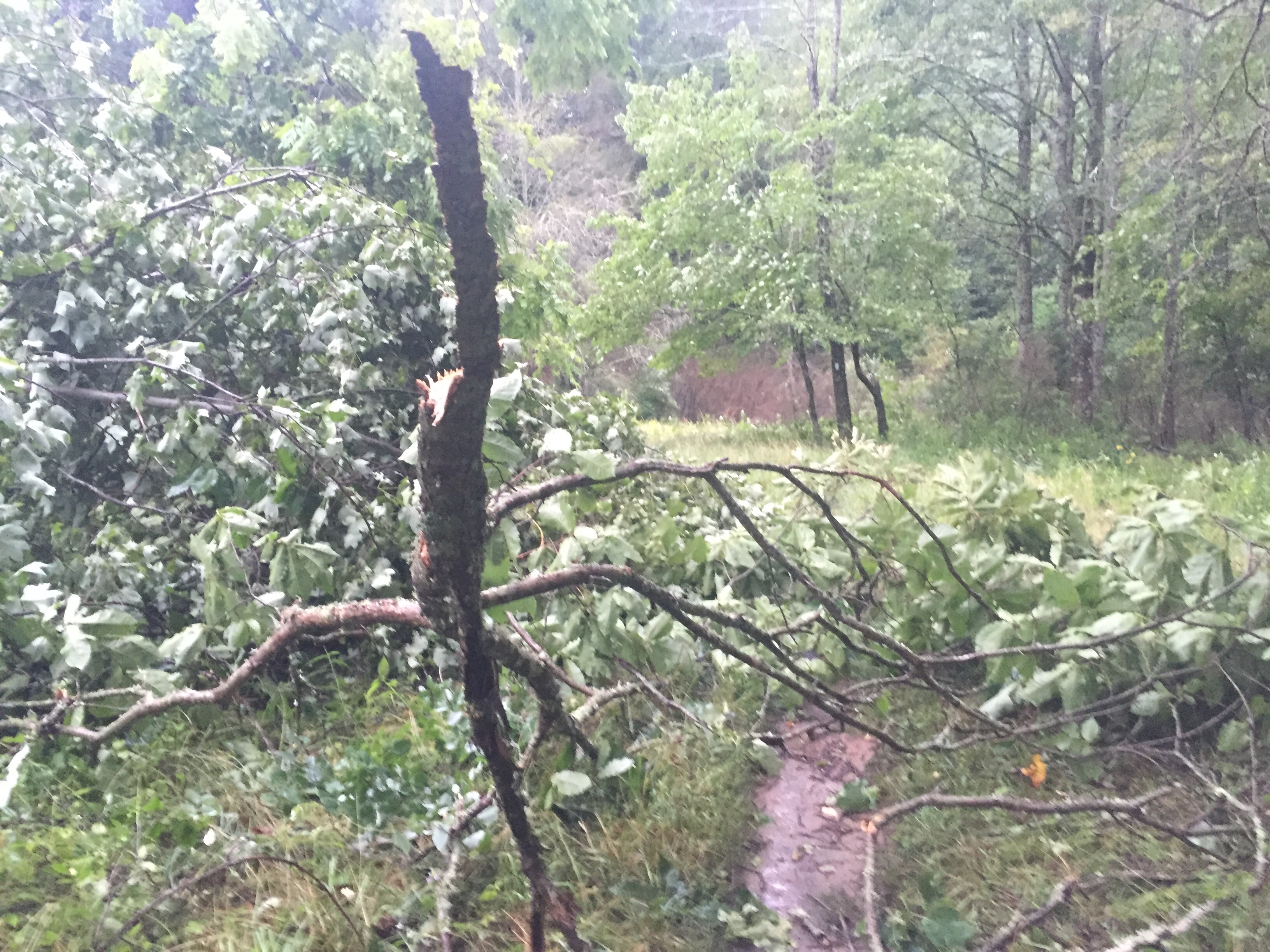
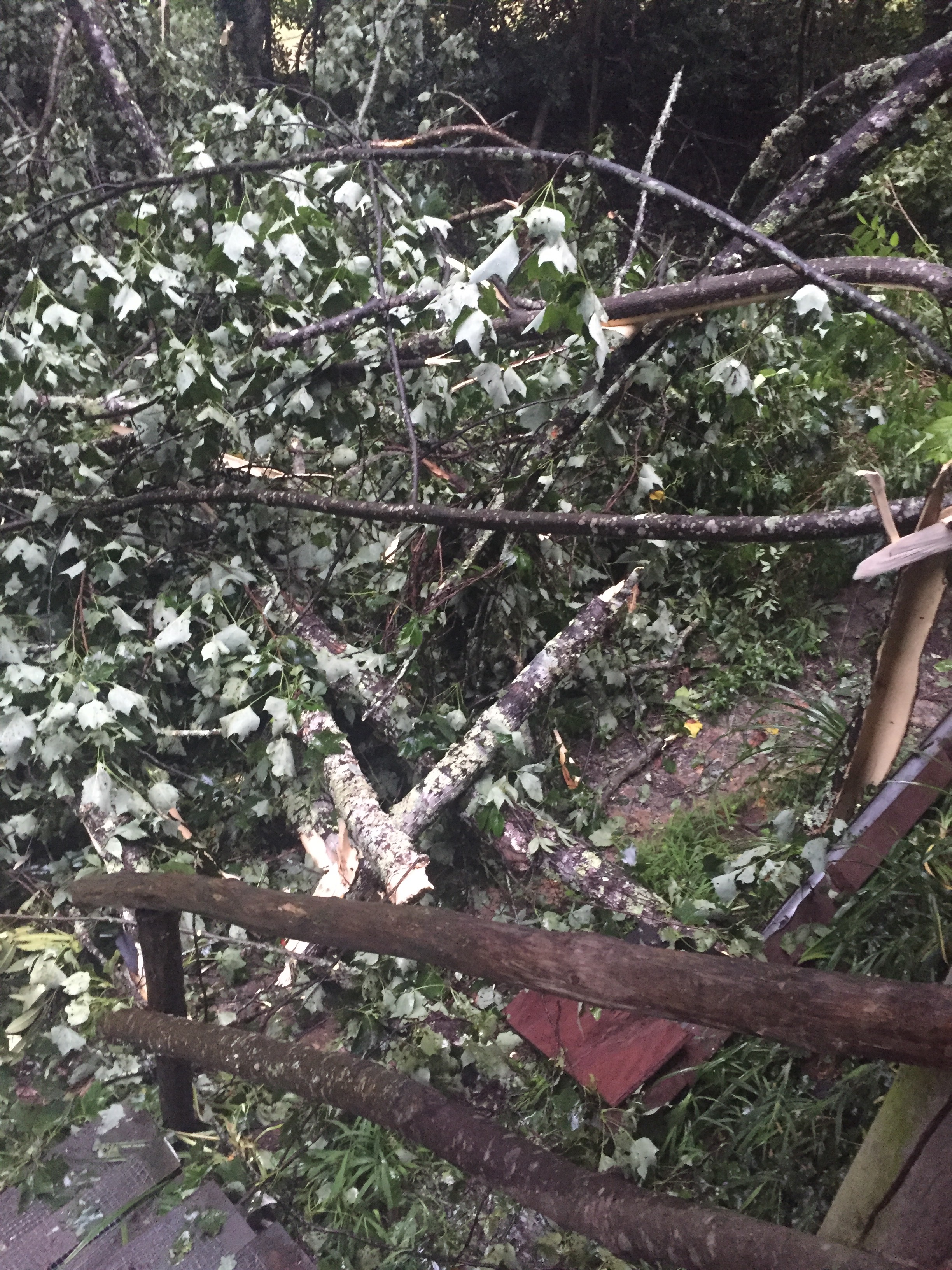
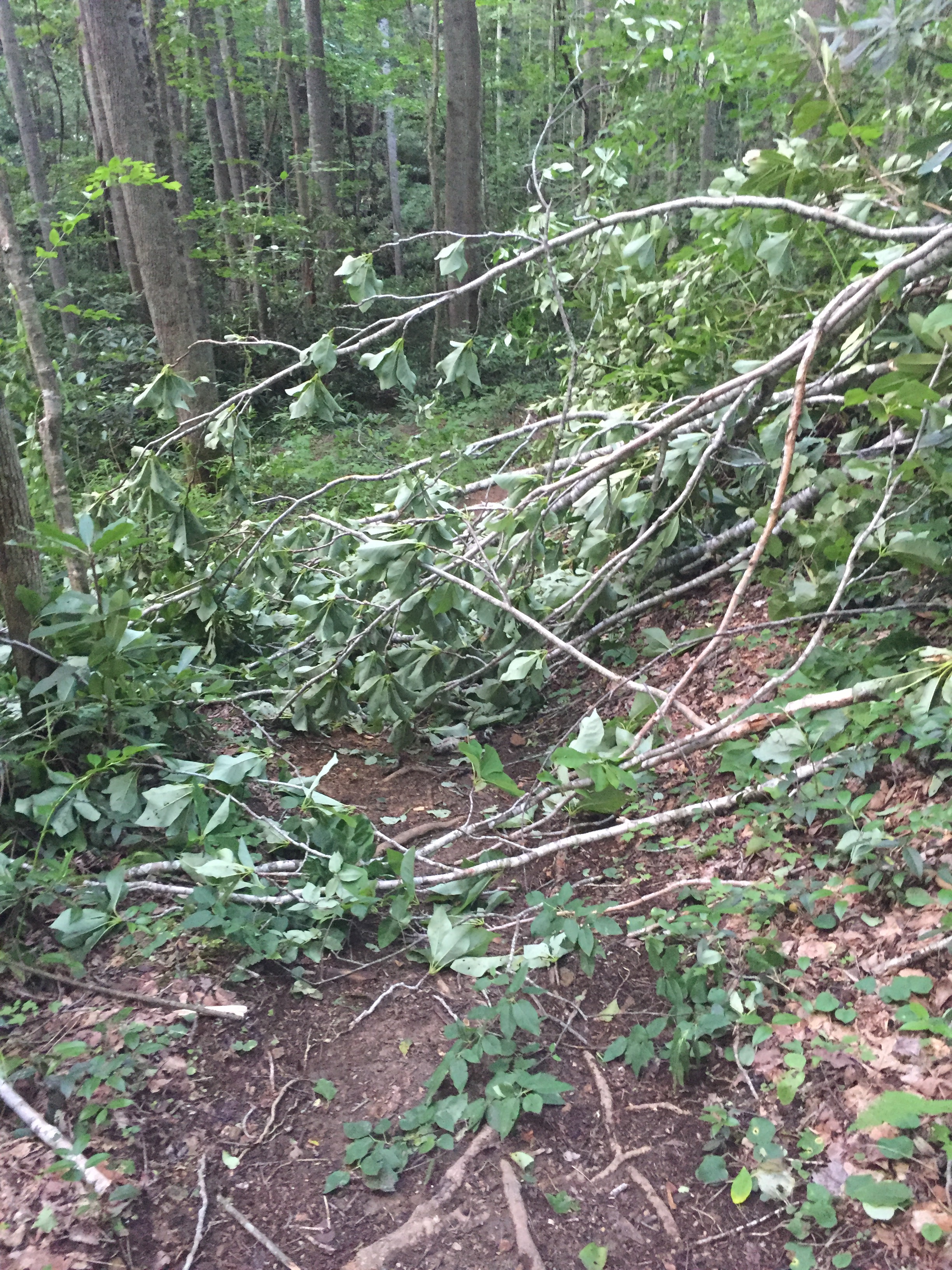
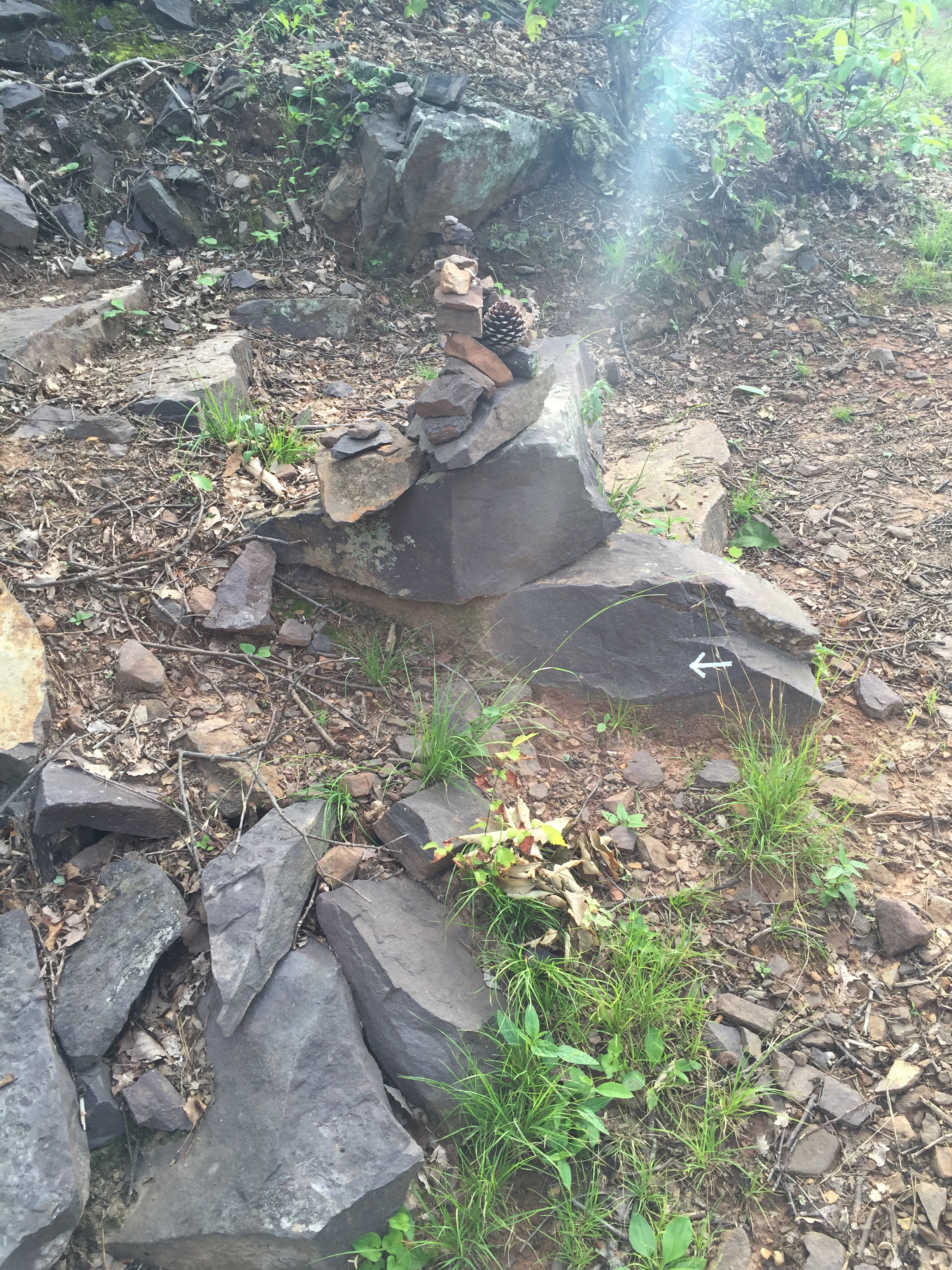
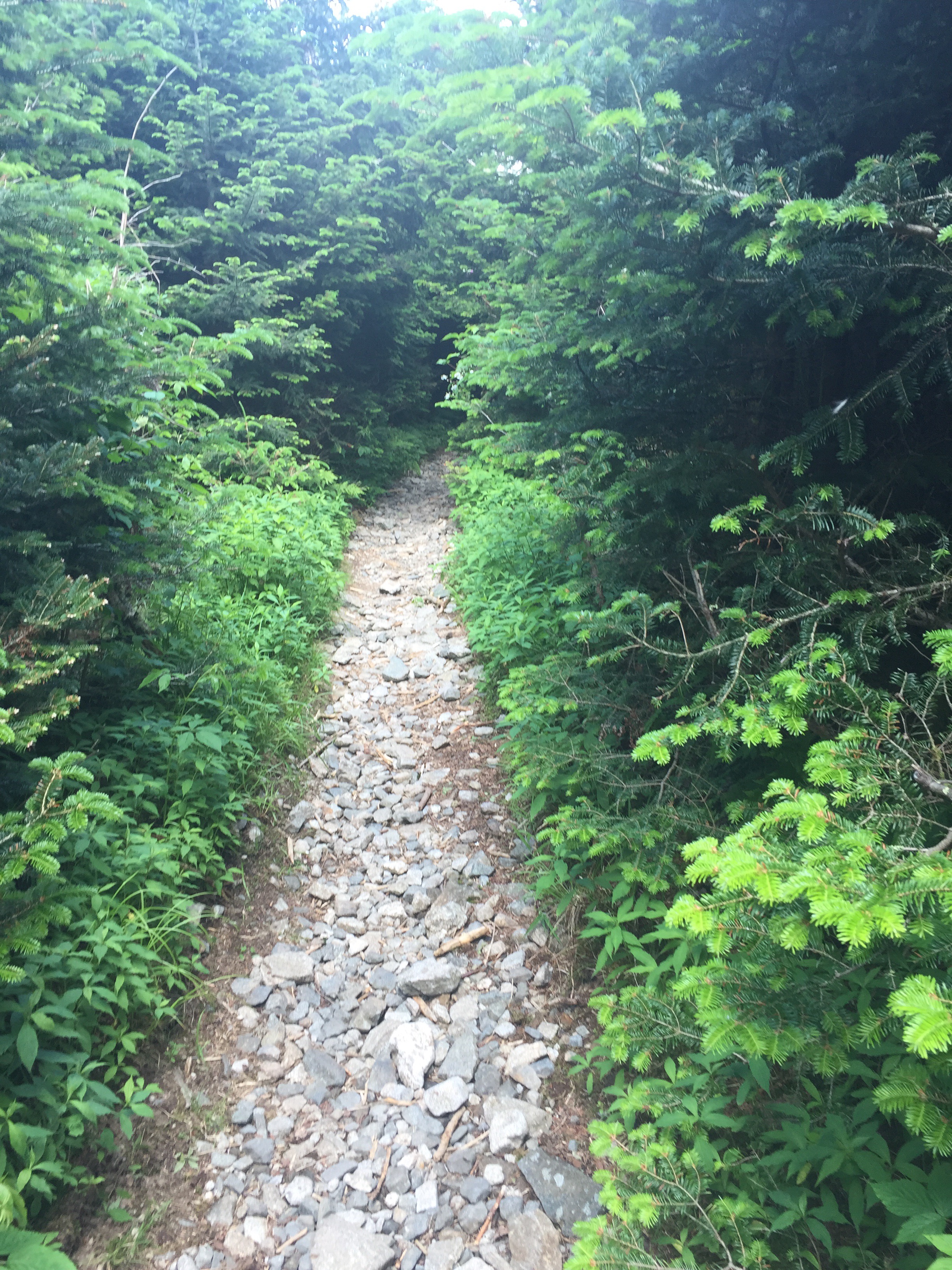
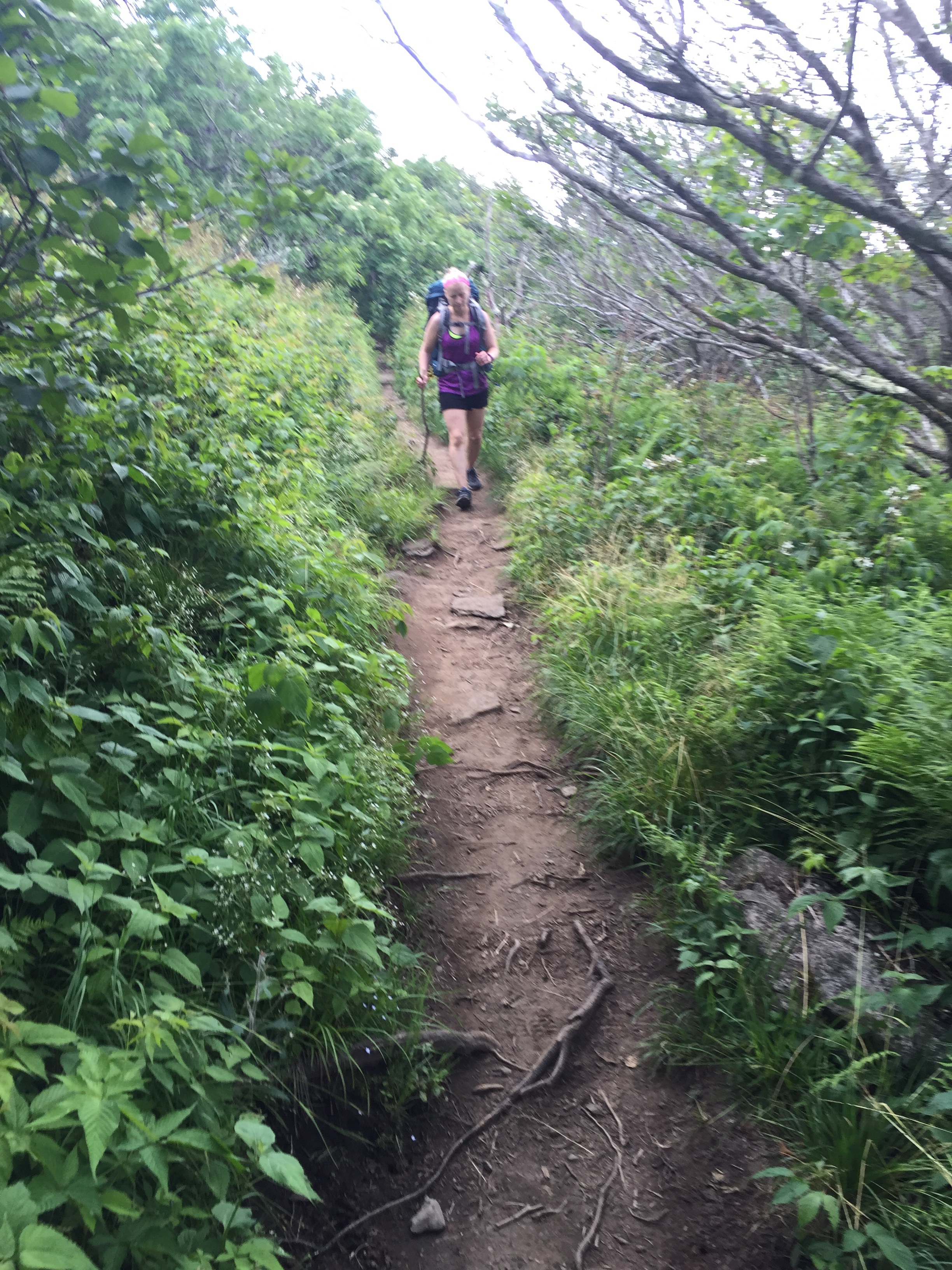
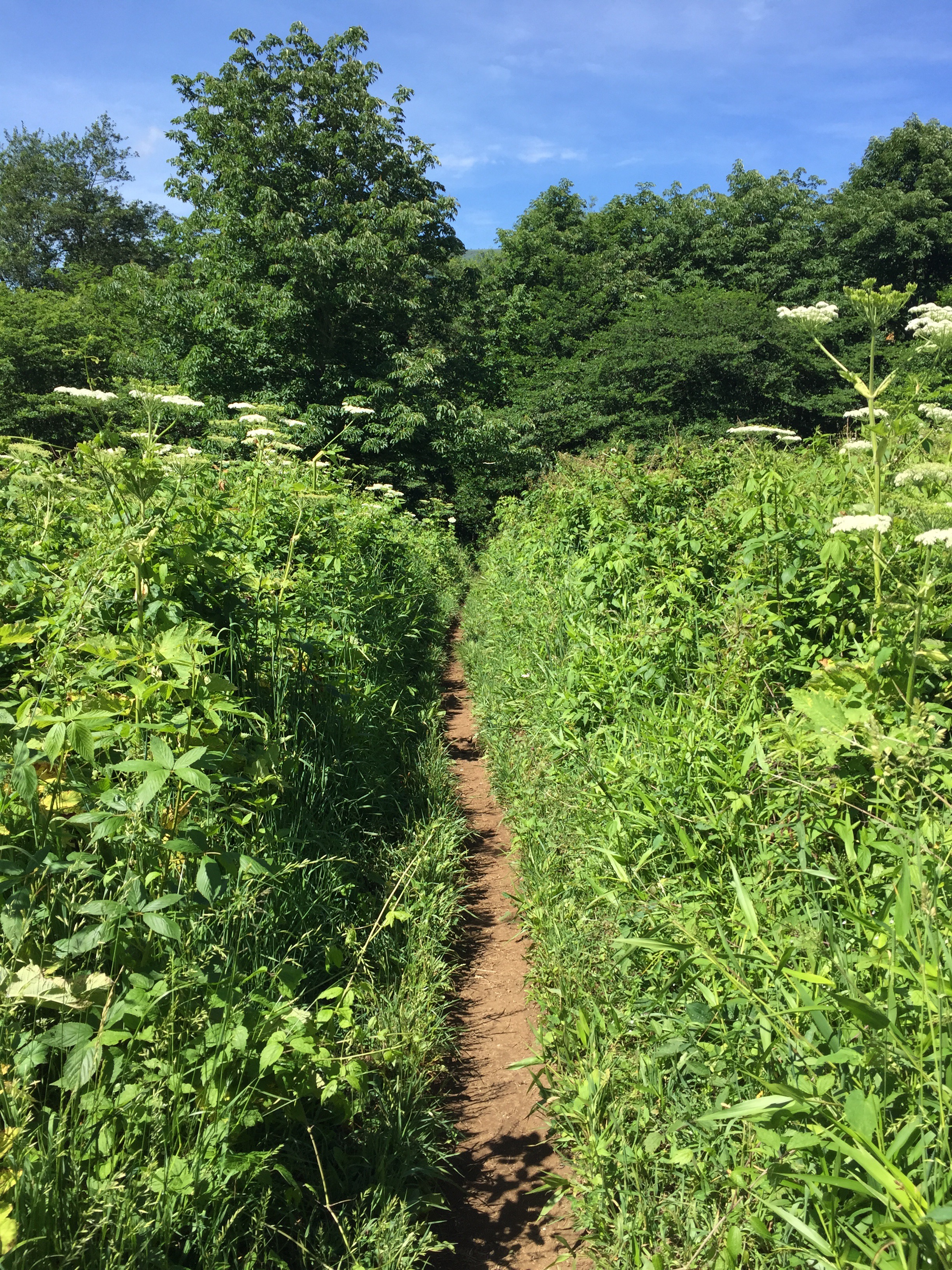
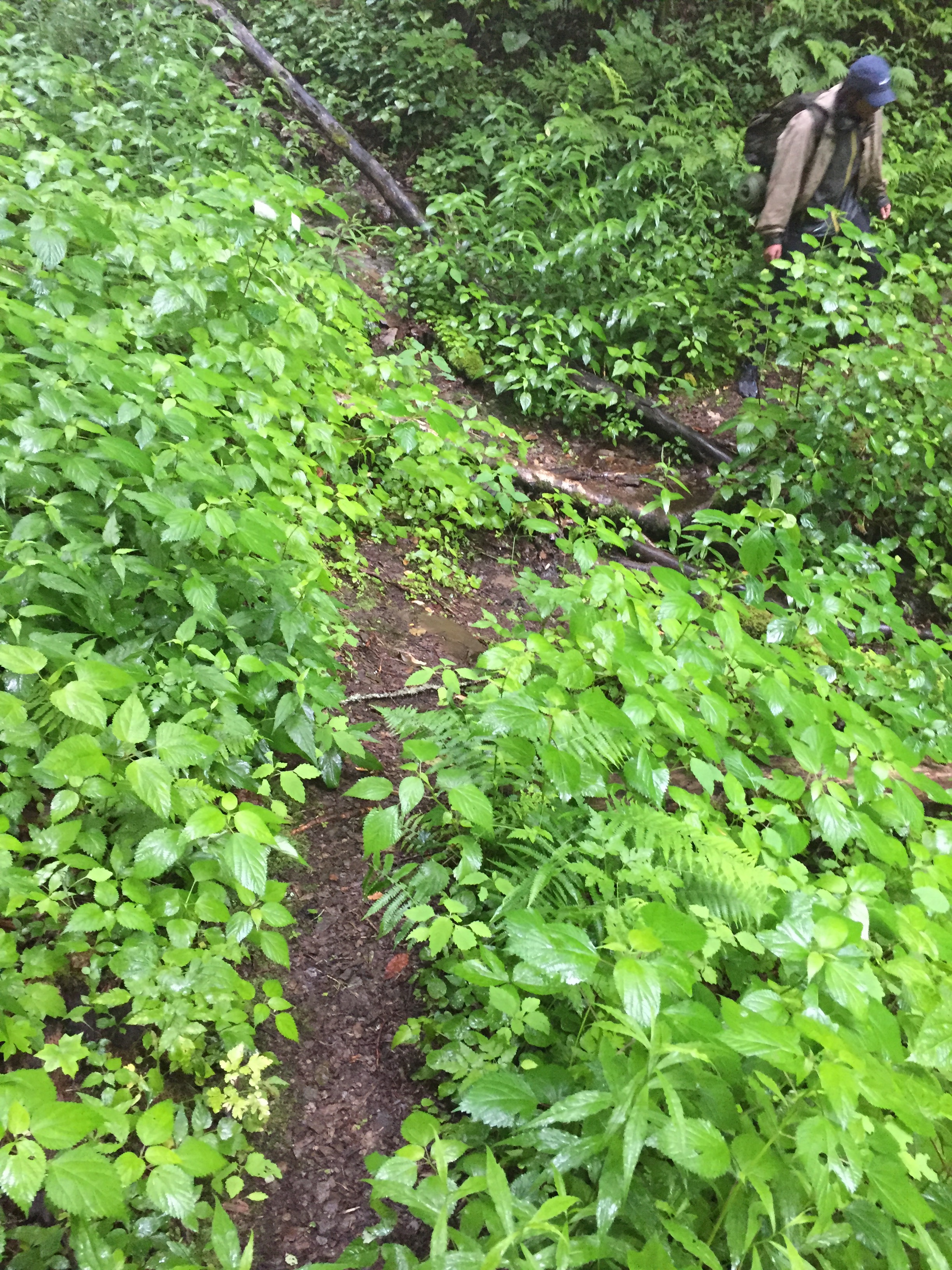
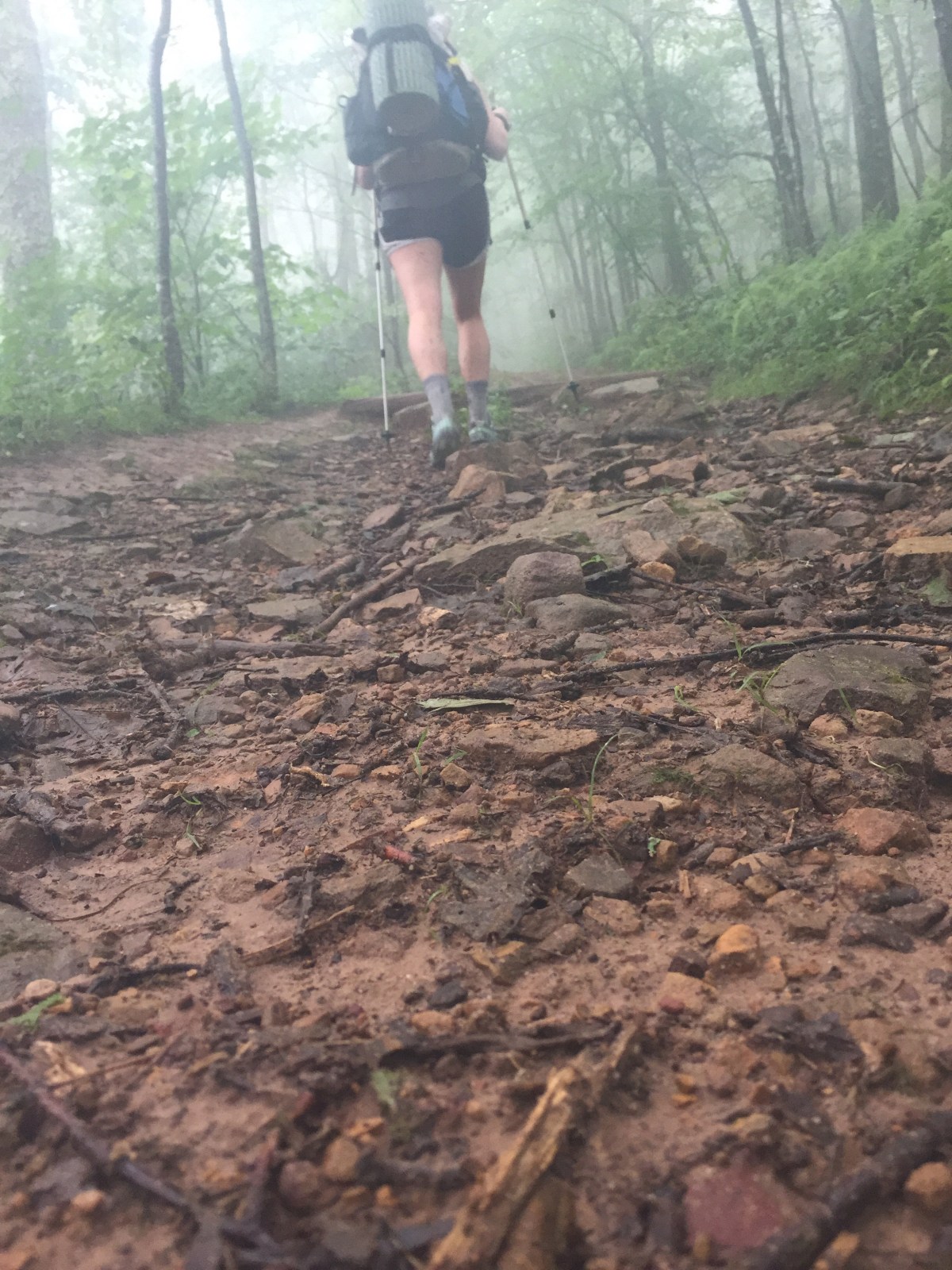
We packed up and headed out for our last climb and the final 8 miles. I was ready for the climb. I was not ready for the bushwhacking. Someone needs to get on that trail maintenance. I need to join a trail maintenance crew to make up for all the complaining I do. 


Buuuuuut I knocked that out and it was great fun, despite the rain. I waited for Gambit at the top. 


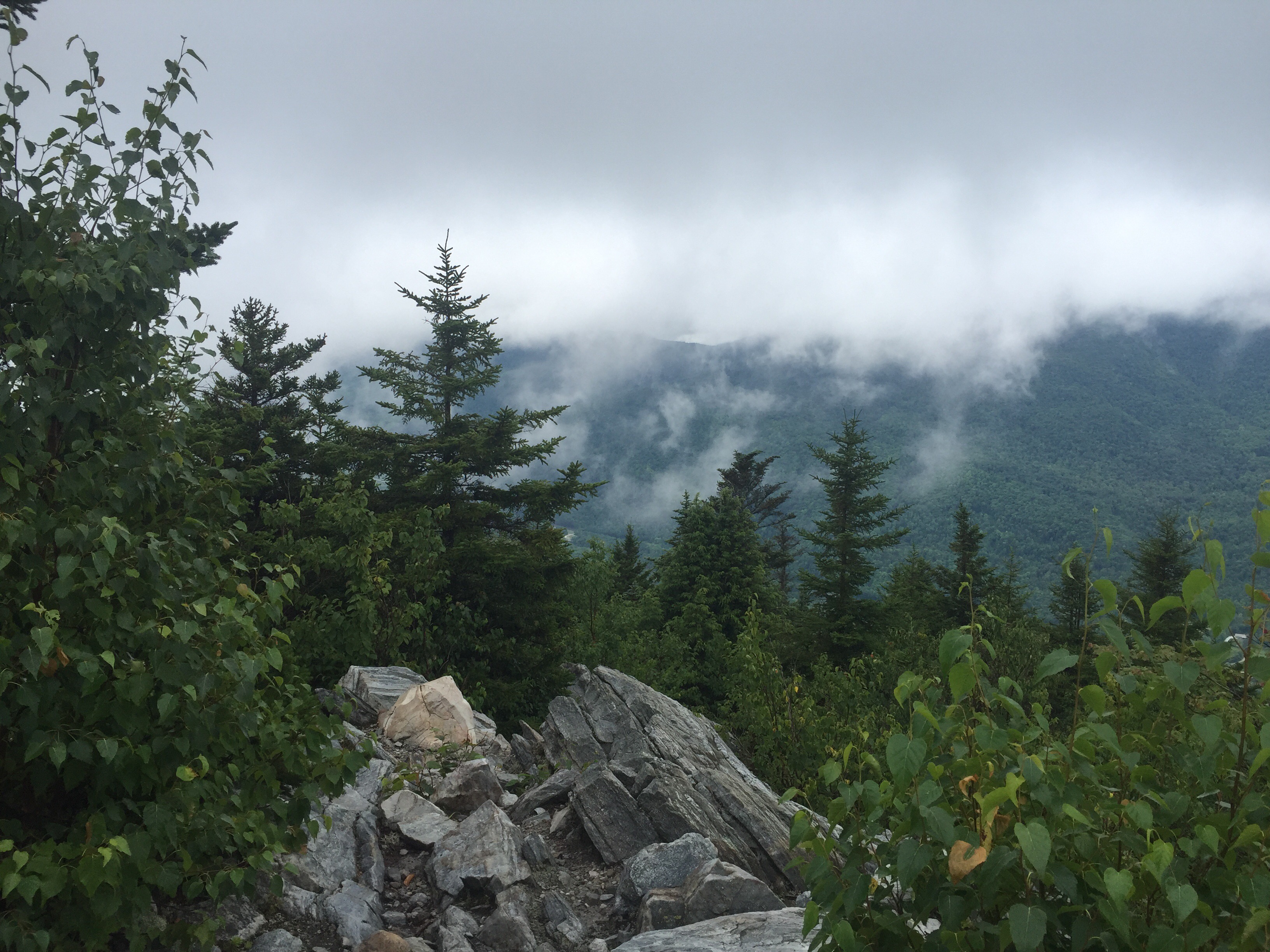
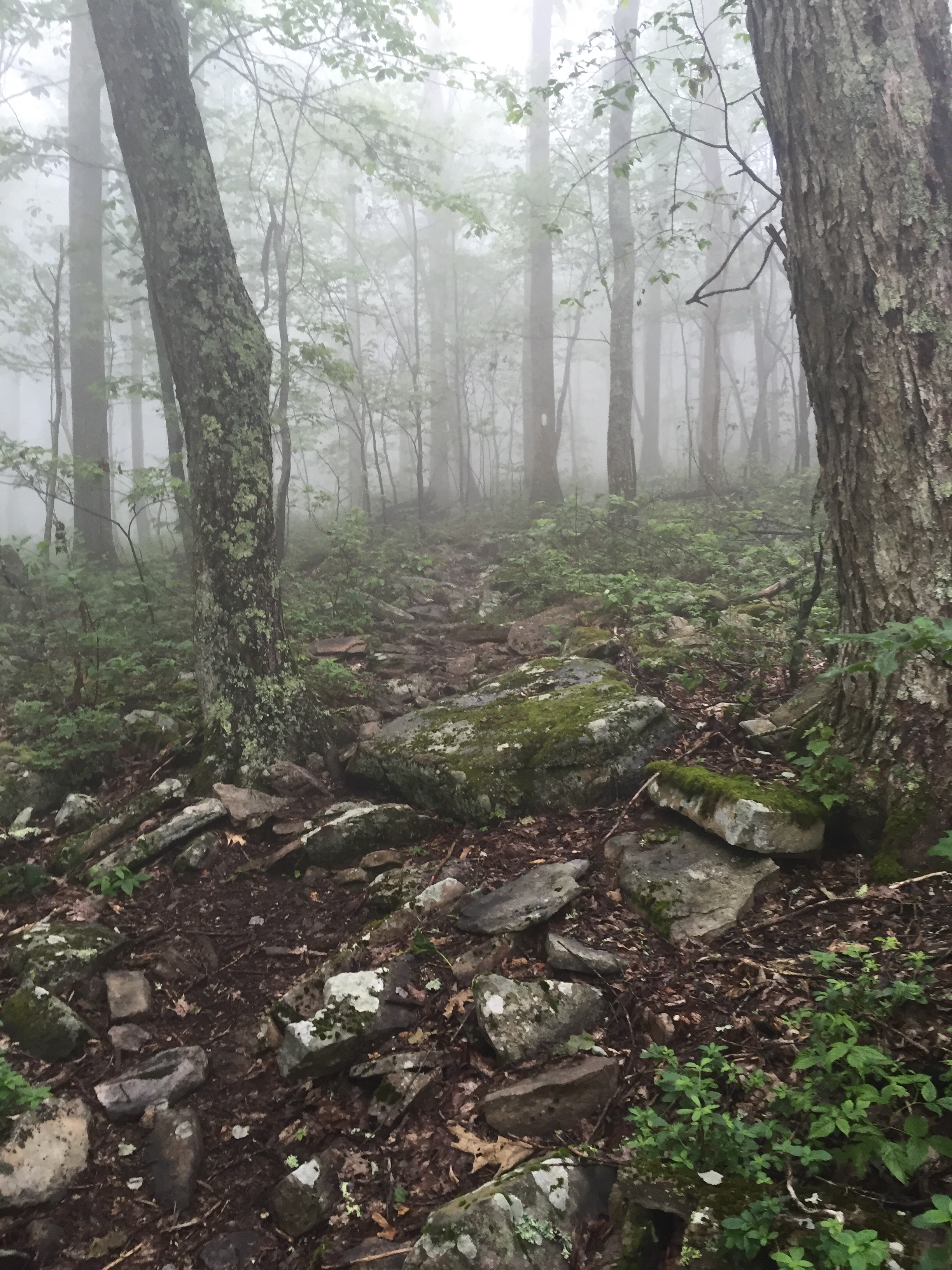
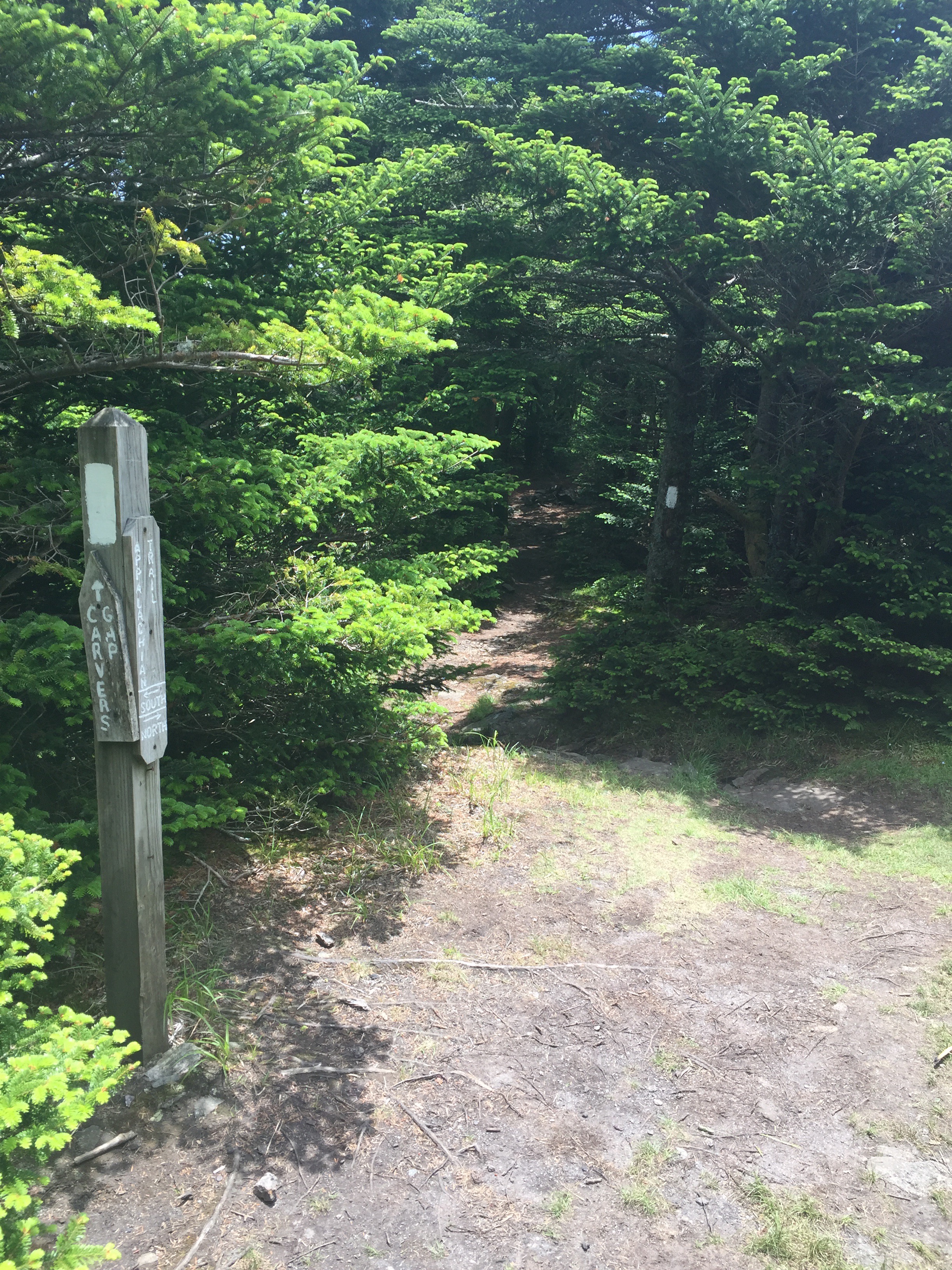
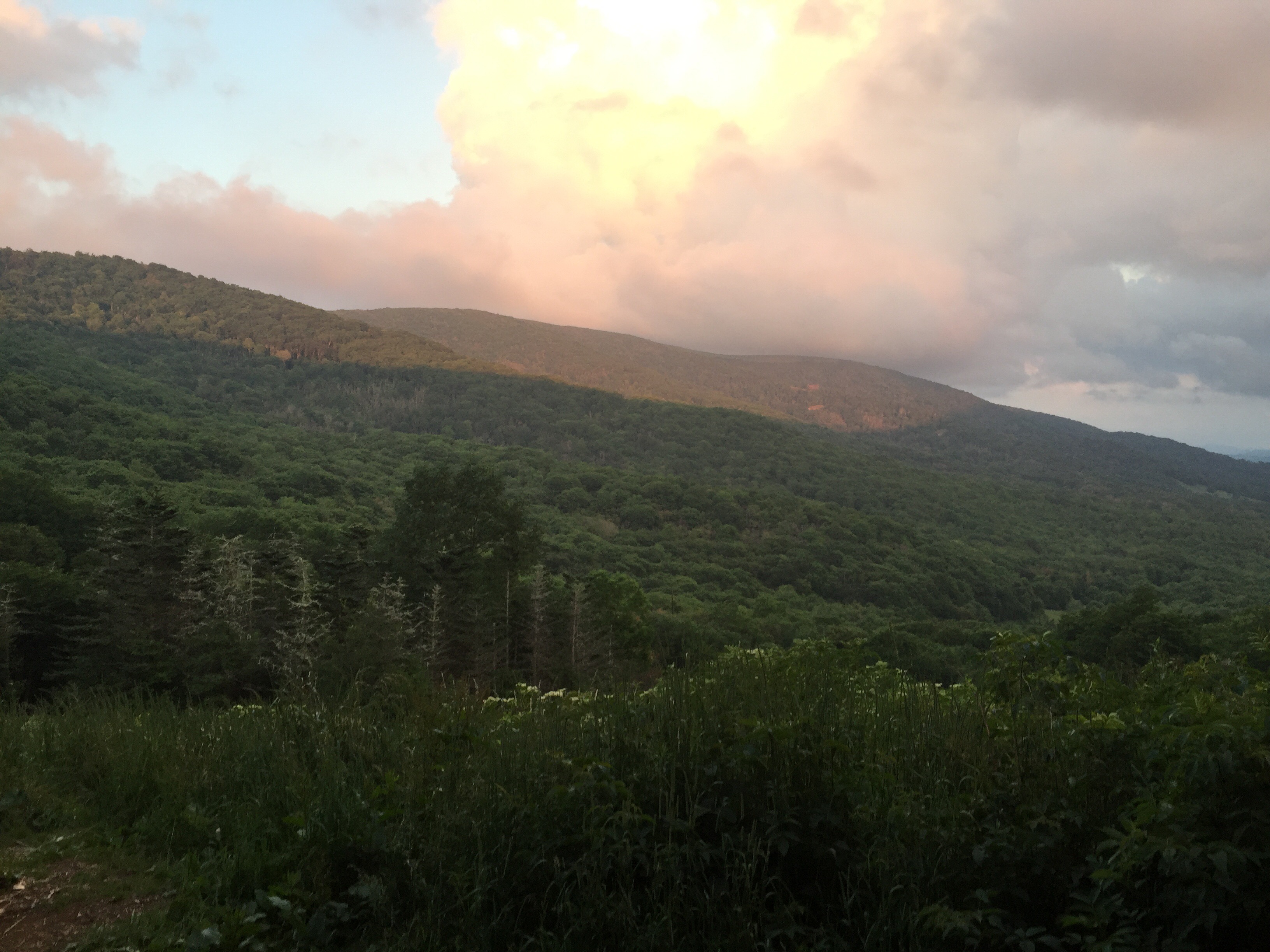
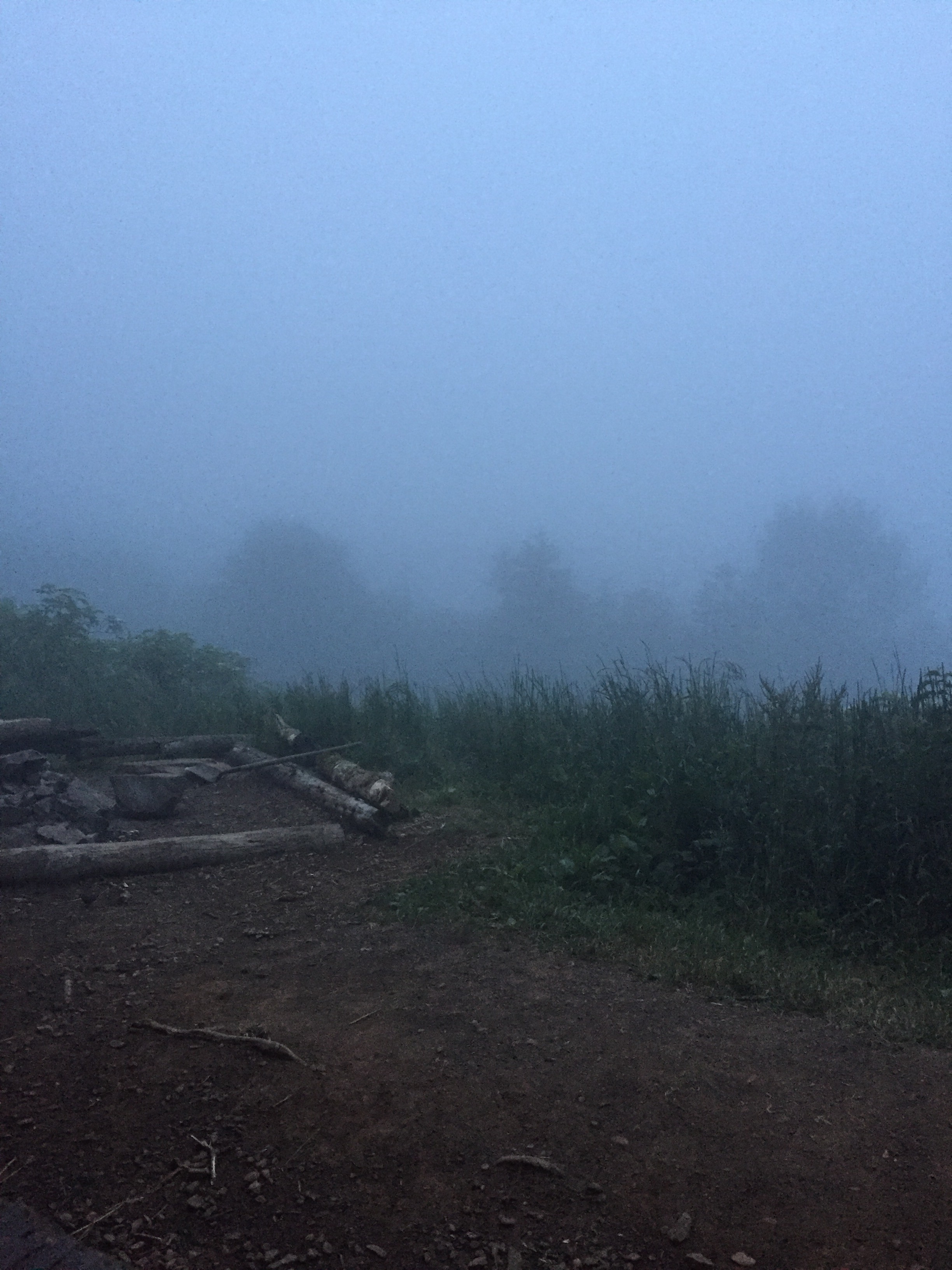
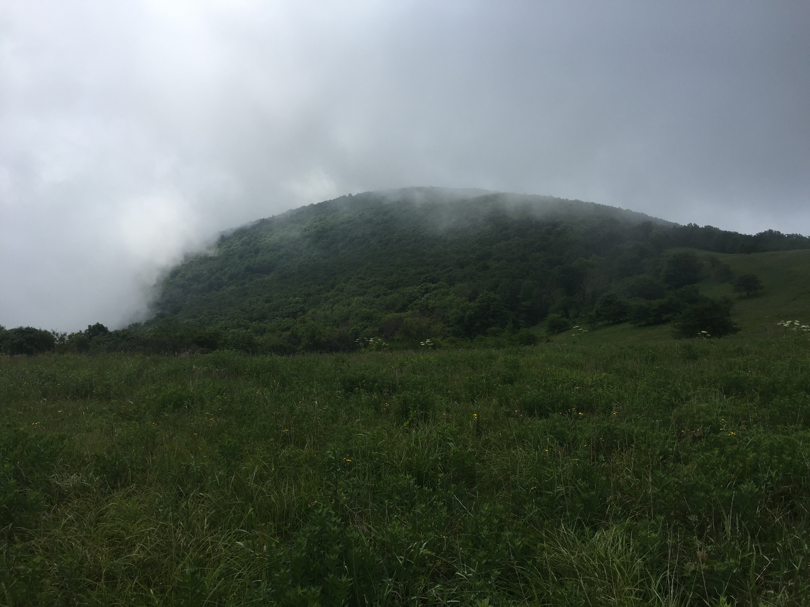
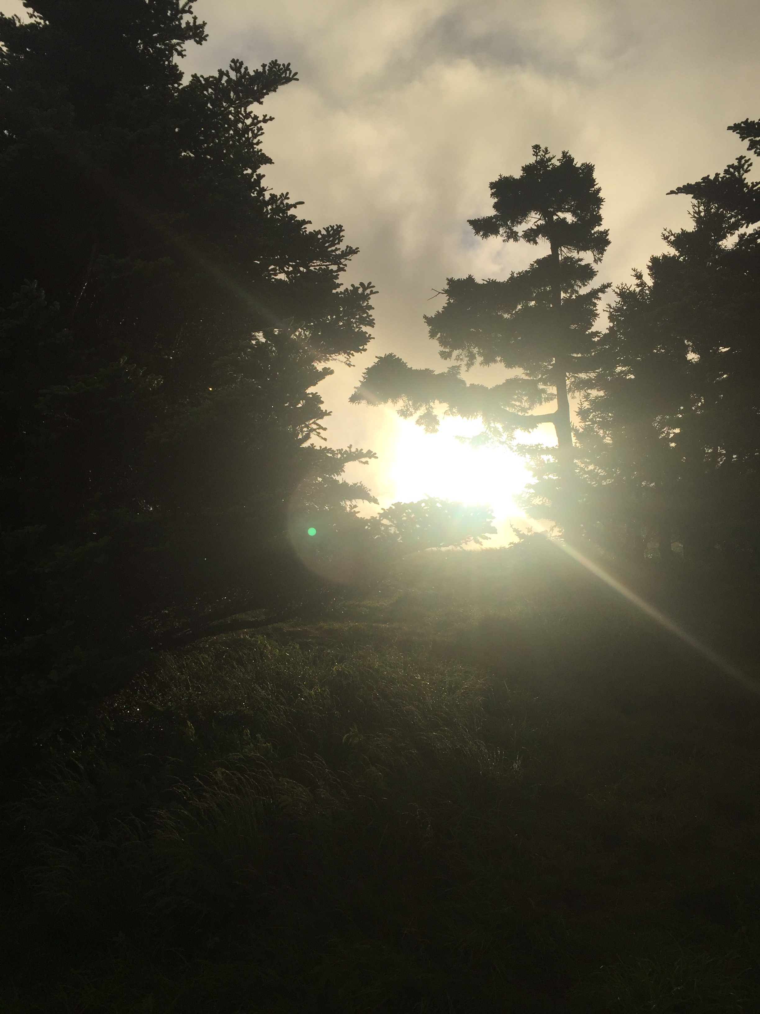
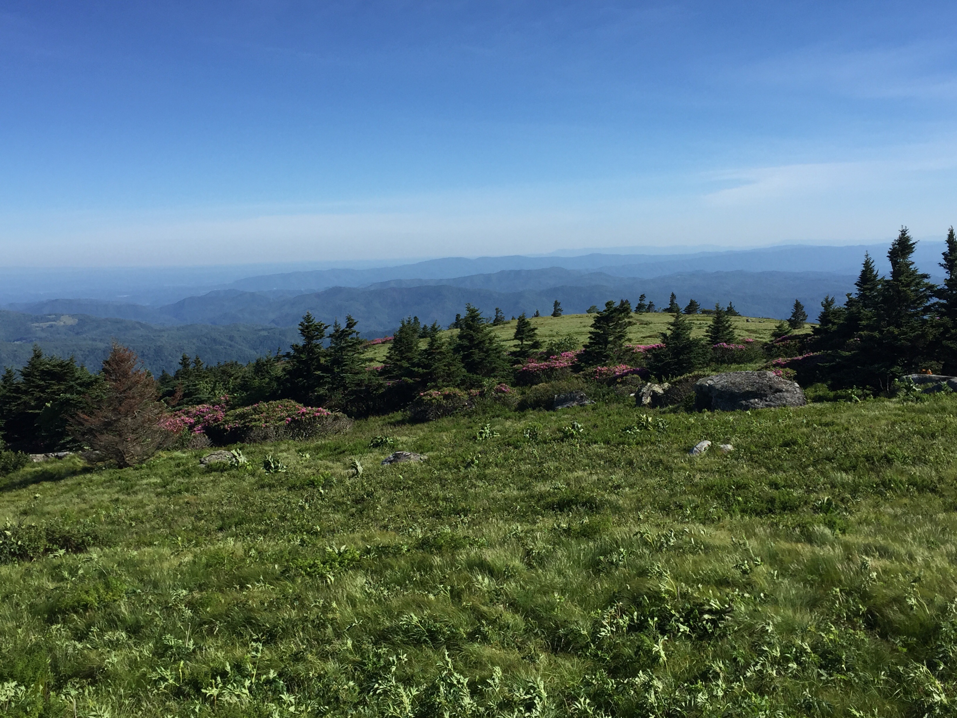
We skipped Kelly’s knob, since everything was clouds. 


Hiking again, I was intent on the trail, navigating downhill and around smaller rocks. I looked up and saw two small bears. Startled, I screamed. The Bears jumped, eyes round, and froze for a second, before trying to decide which way to run. Their fat little bottoms jiggled along, glossy and round, as they disappeared across the trail. Gambit called me to move back and we waited to see if a mama bear would come too, but these were tween bears out for some snacks and were evidently alone. 

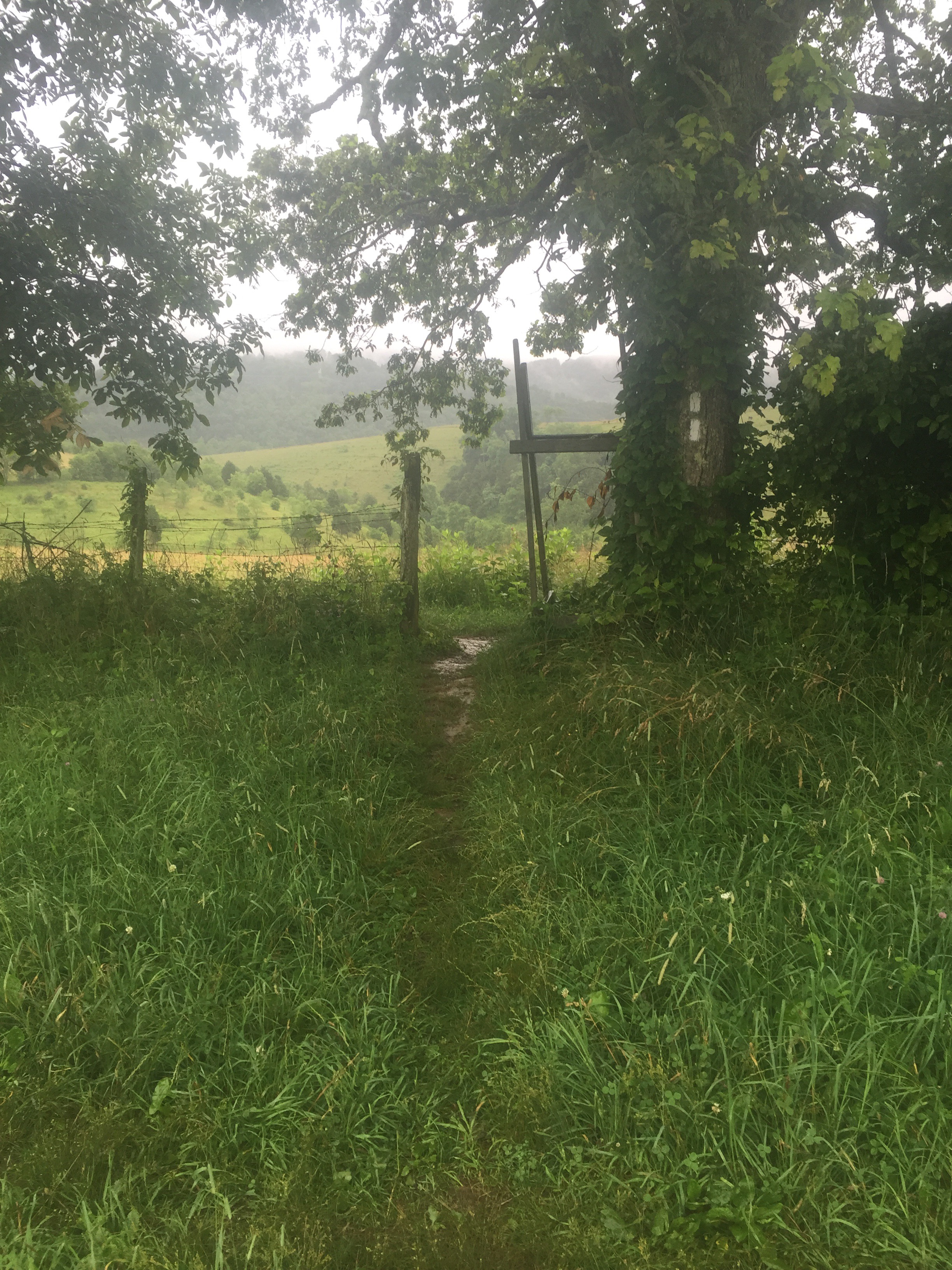
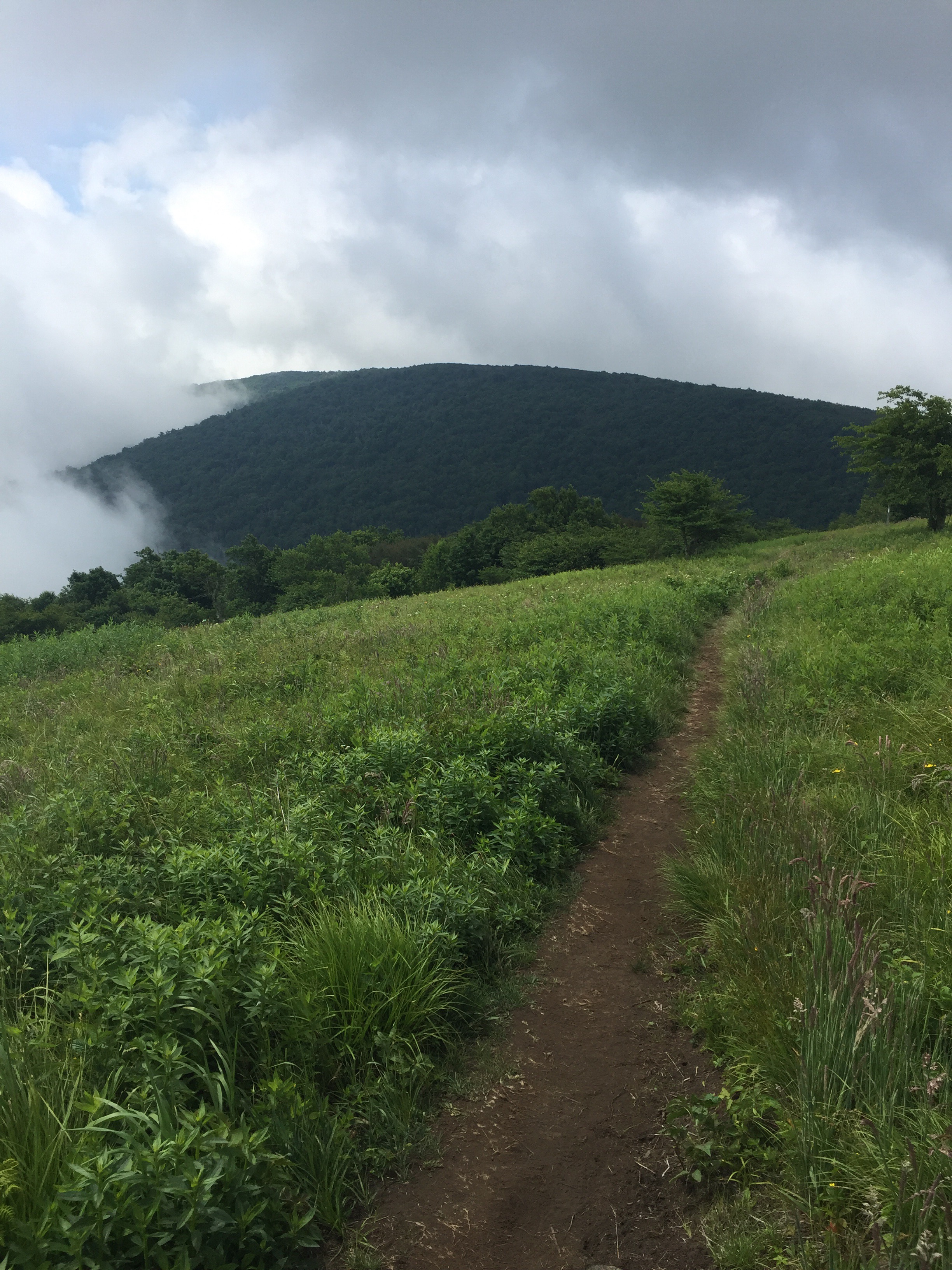
We hiked on, enjoying the trail and the last few hours of the woods. 

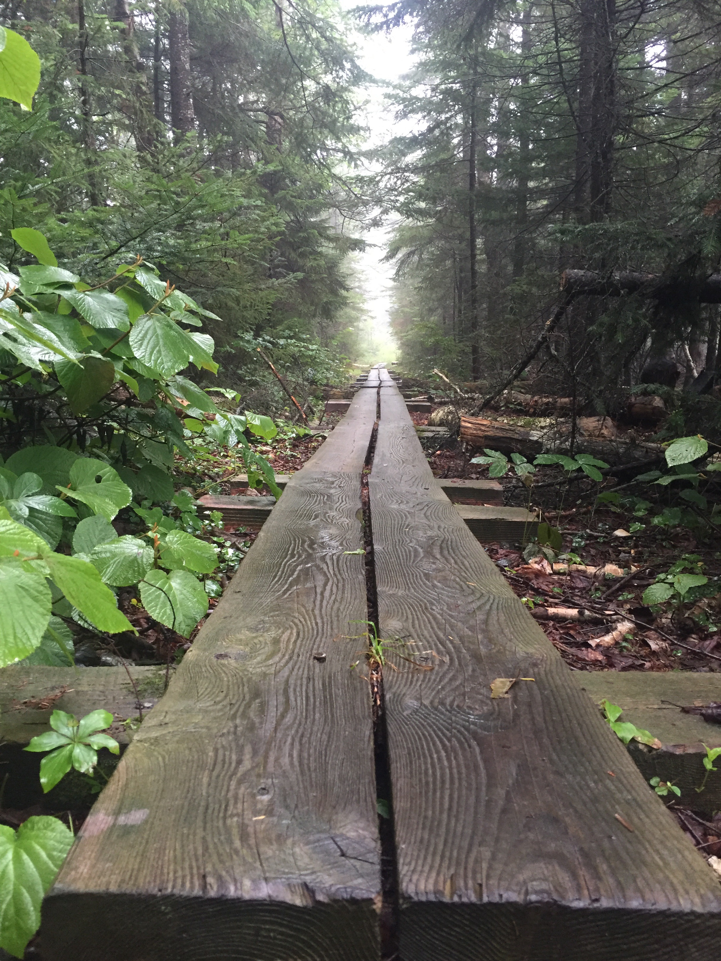
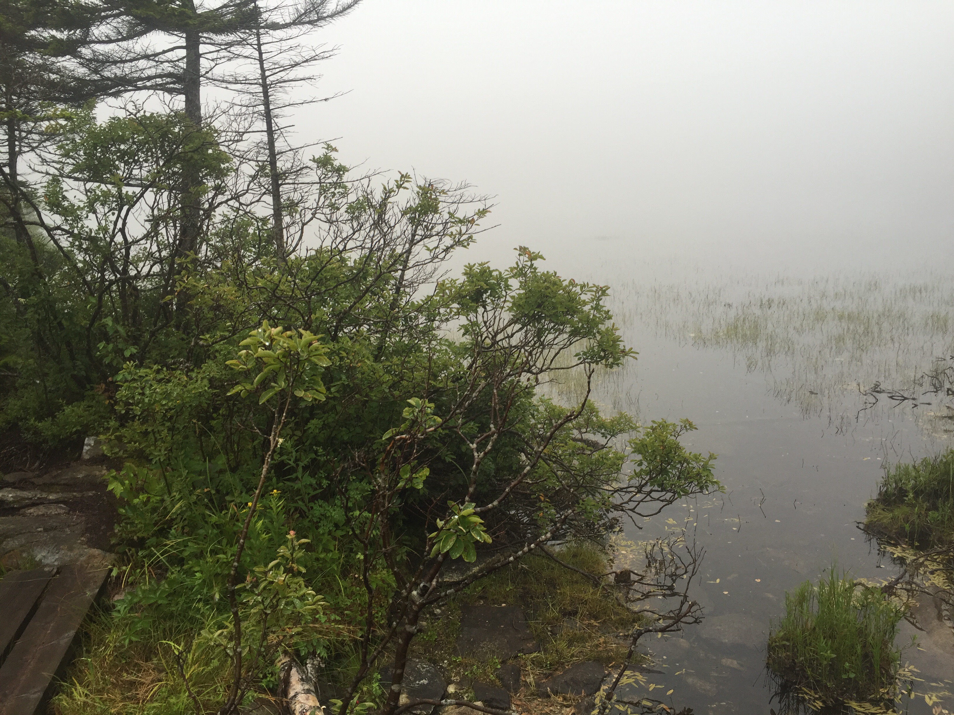
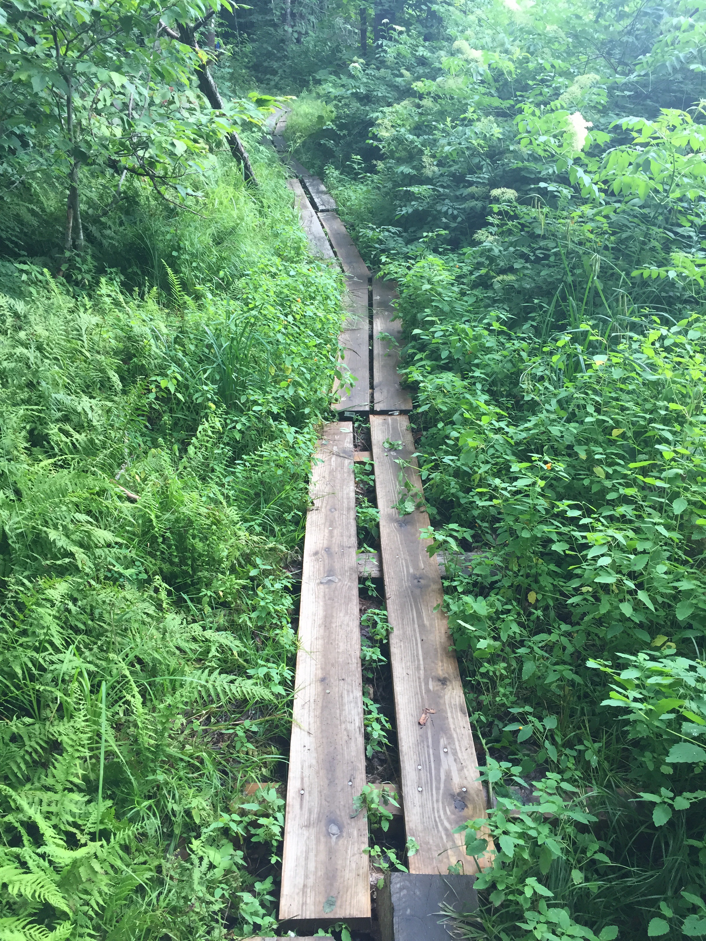
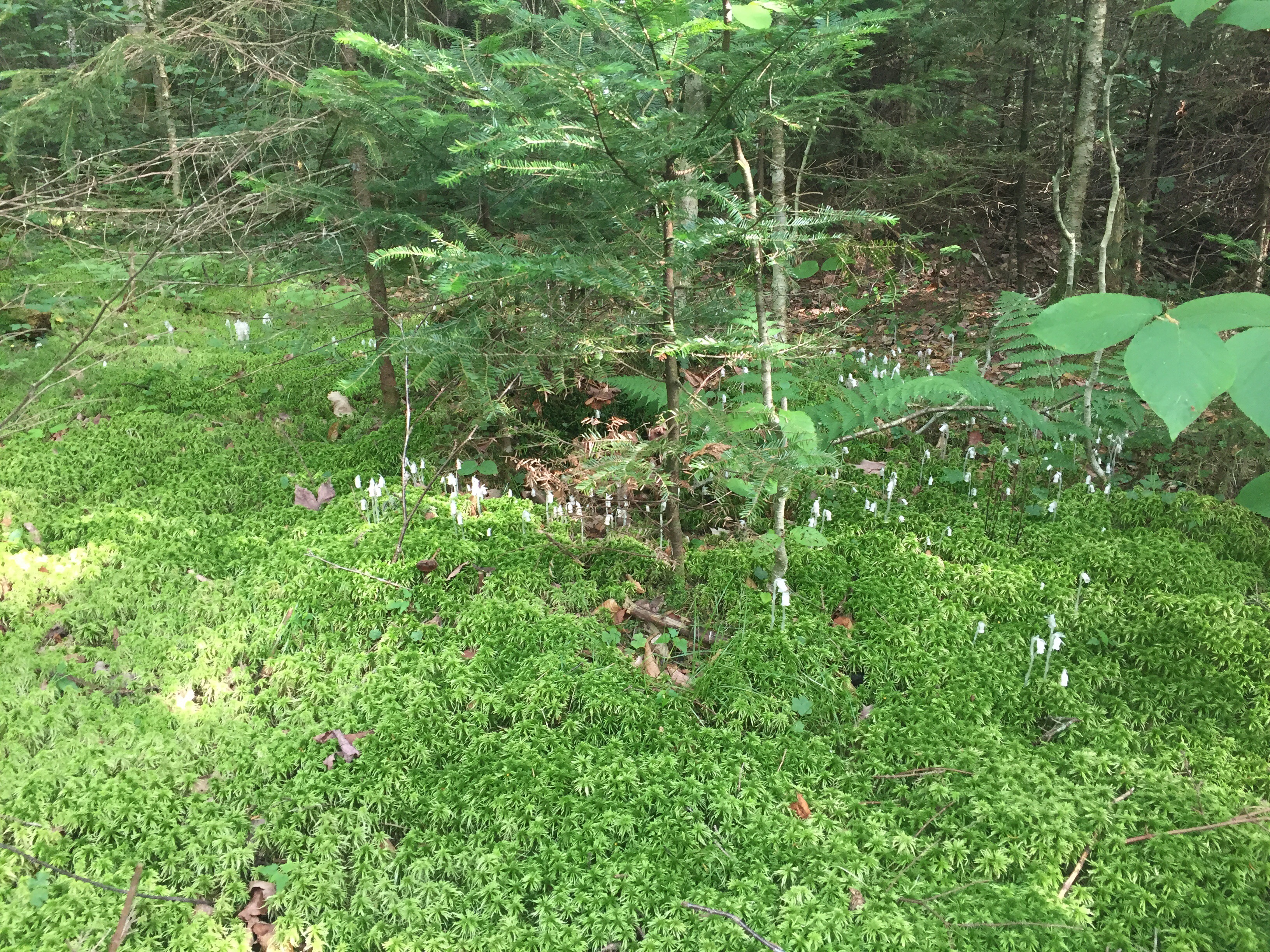
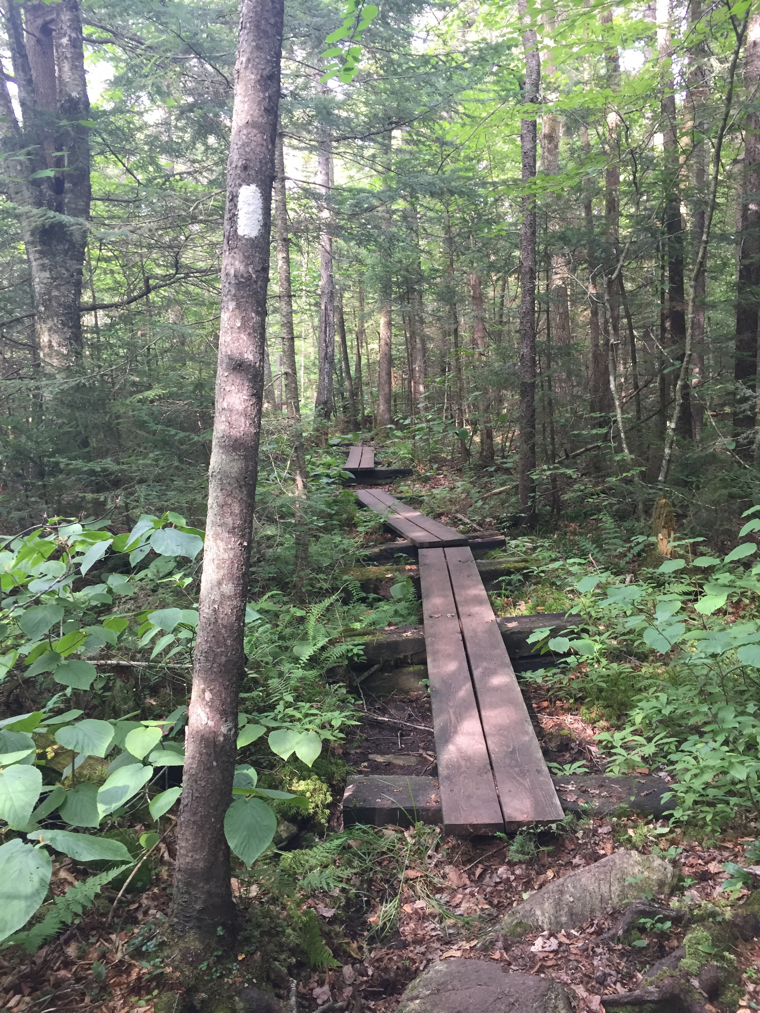
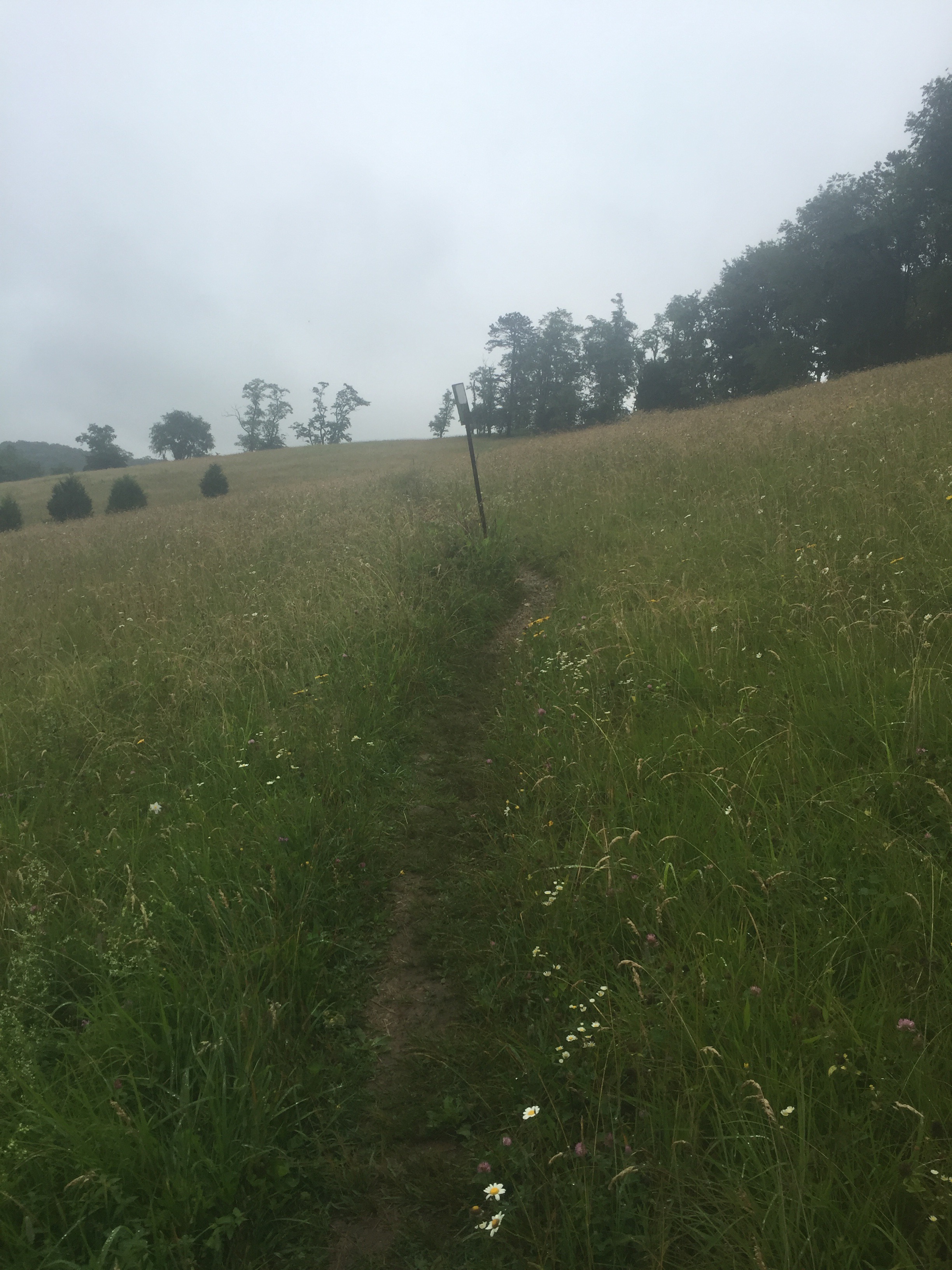
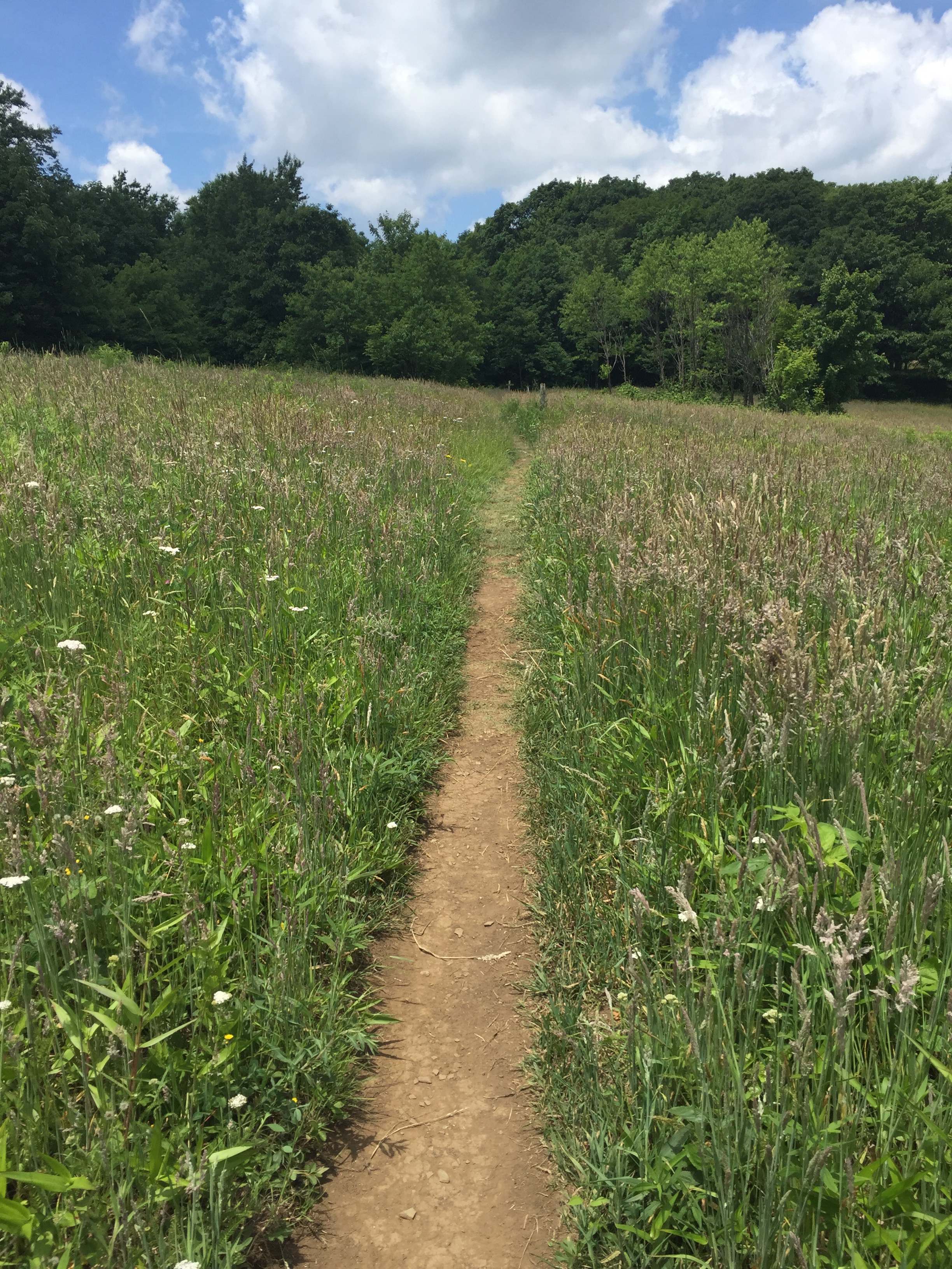
The trail opened onto farmland and meadow and a swamp, with raised boards. I heard what I thought was a lamb, but it turned out to be a fawn and a mama deer. The dawn scampered off as we came into the swamp, but the mama deer stared at us for a good long while before finally walking off. 


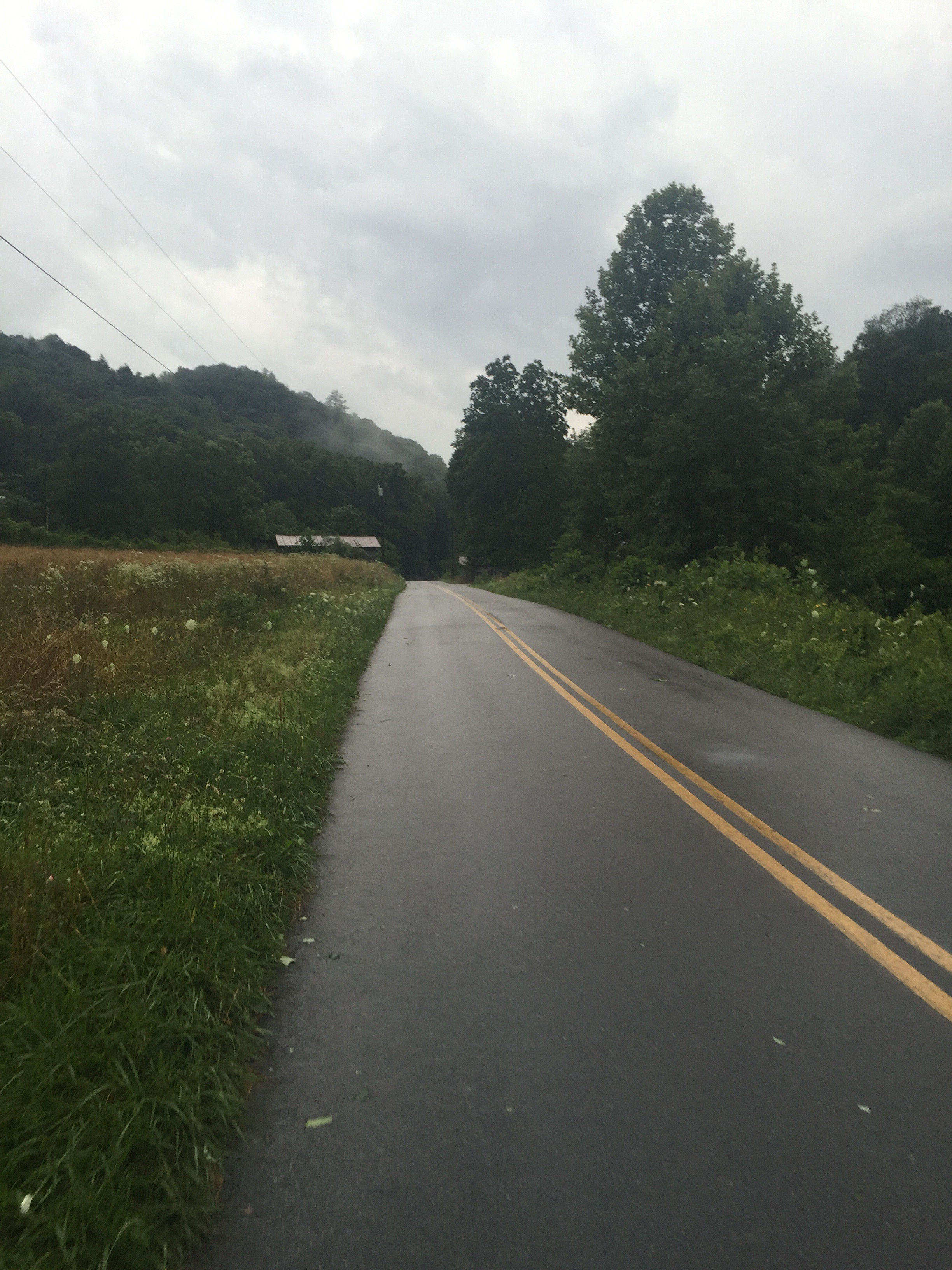
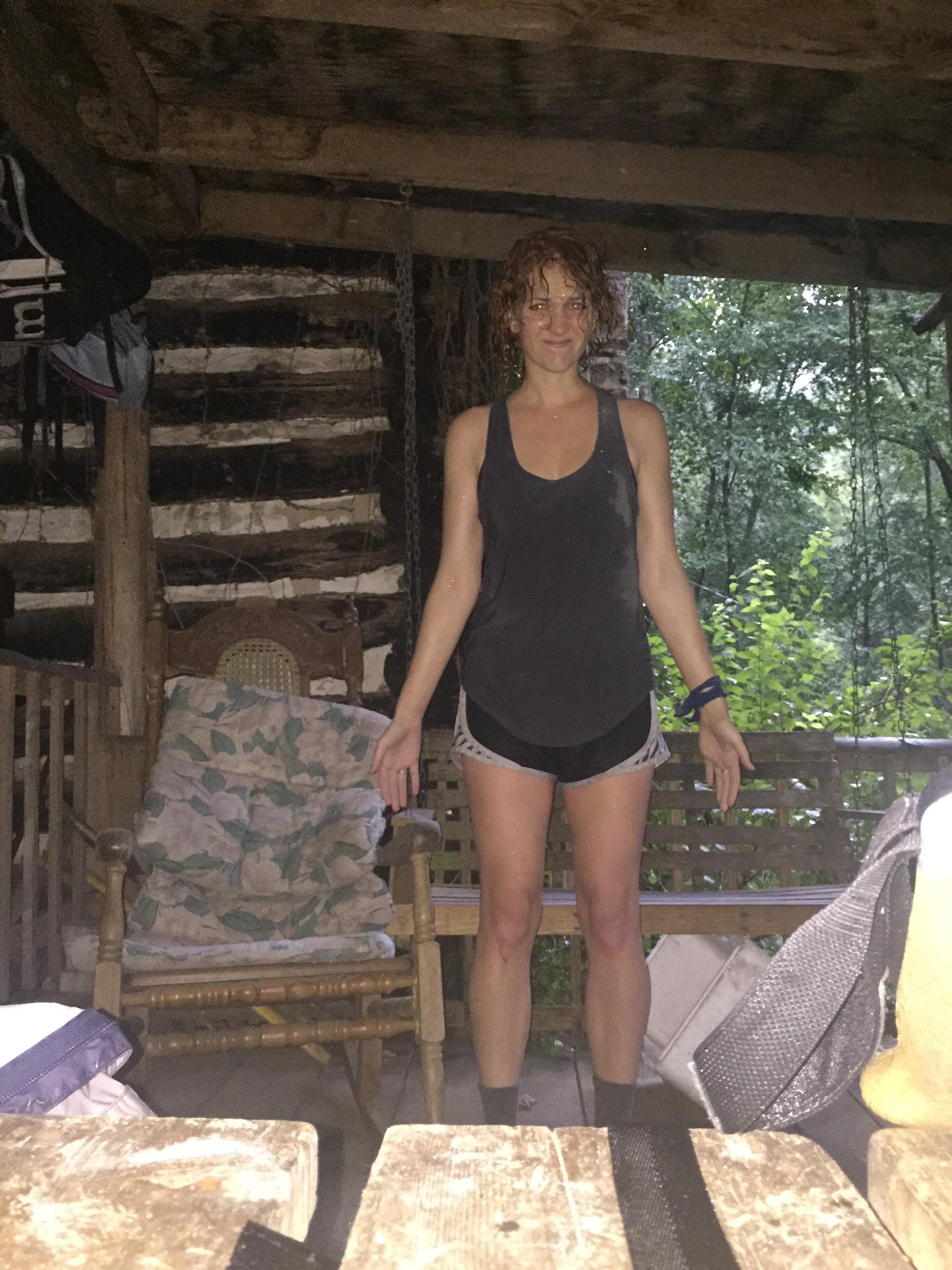
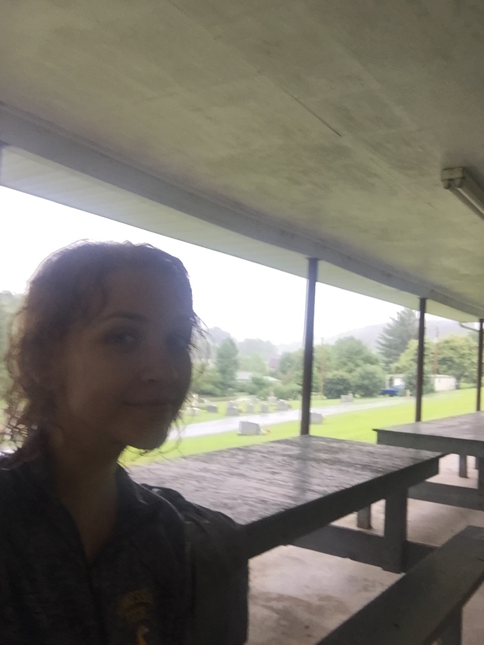
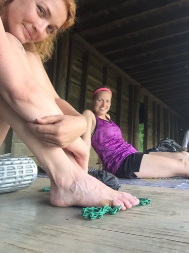
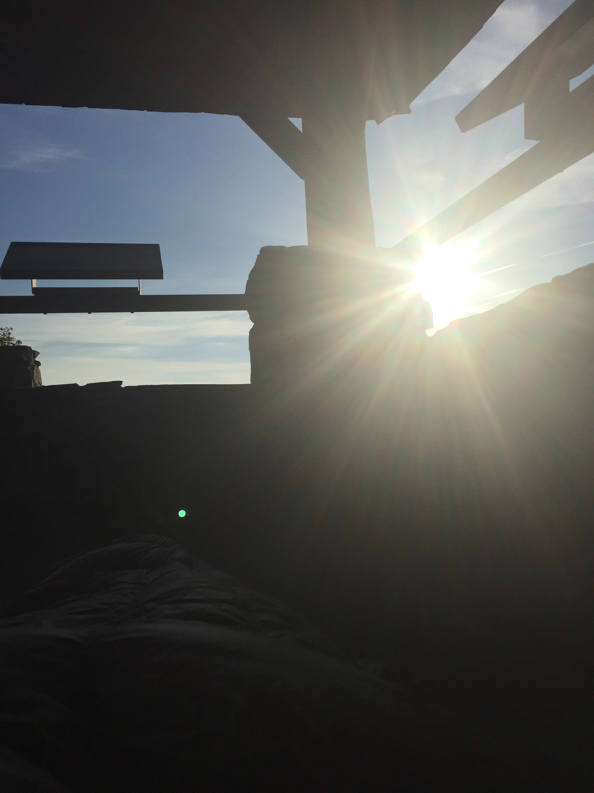
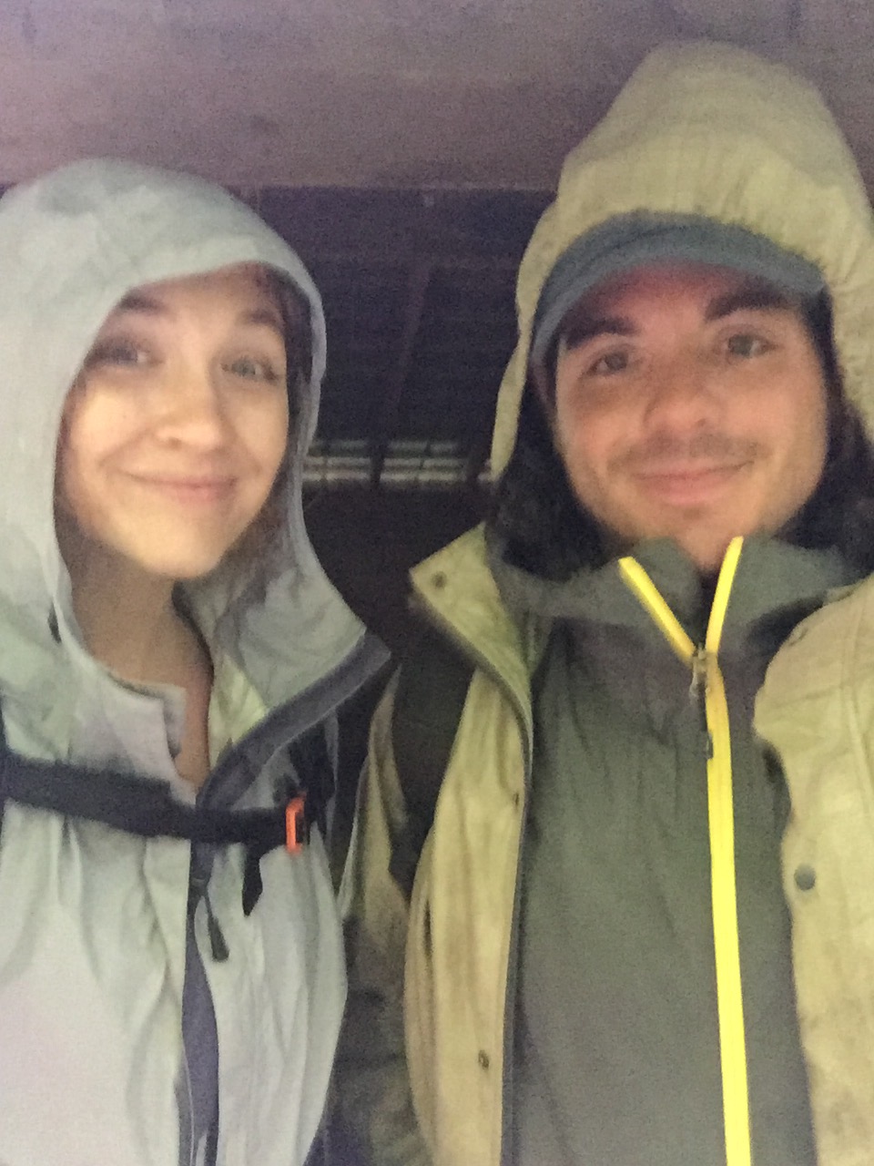
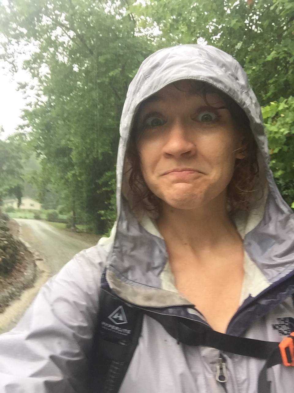
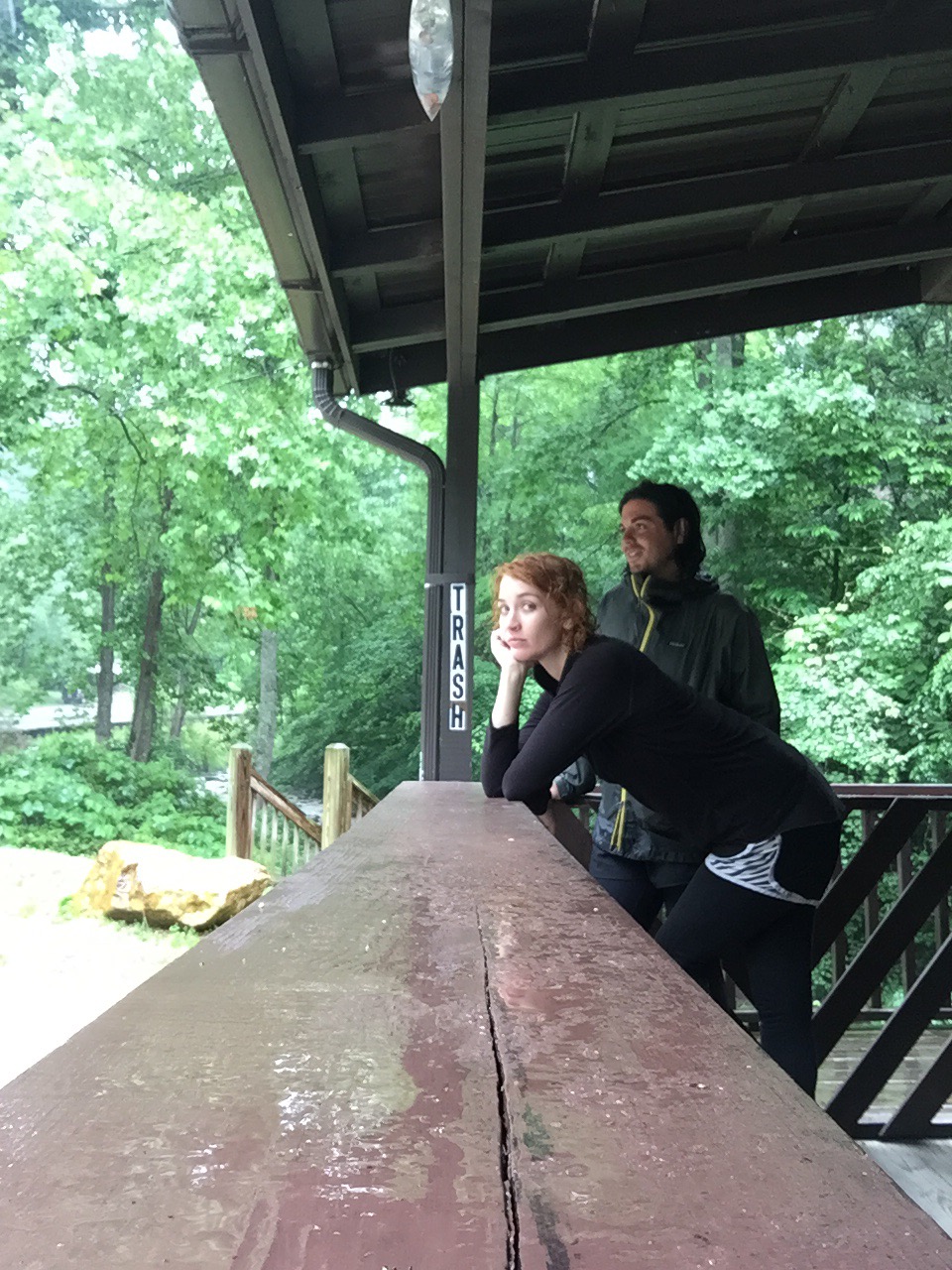
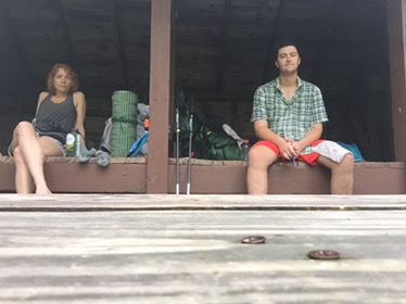
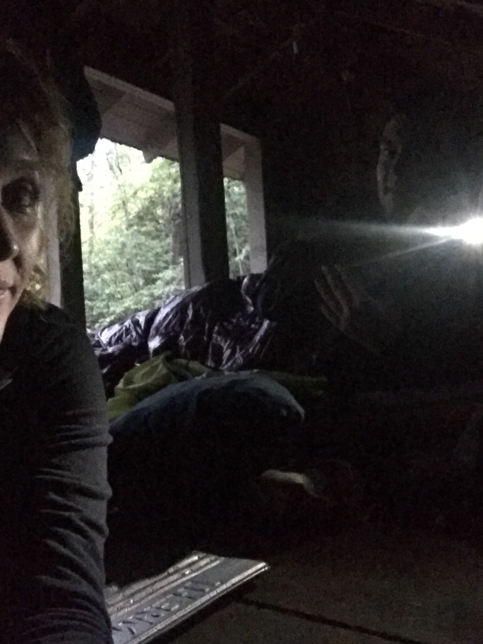
The road came upon us. We were wet and I was cold and muddy. There was nowhere to shelter from the rain, so we walked down the road to a church and took shelter under a pavilion there while we waited for our shuttle. 


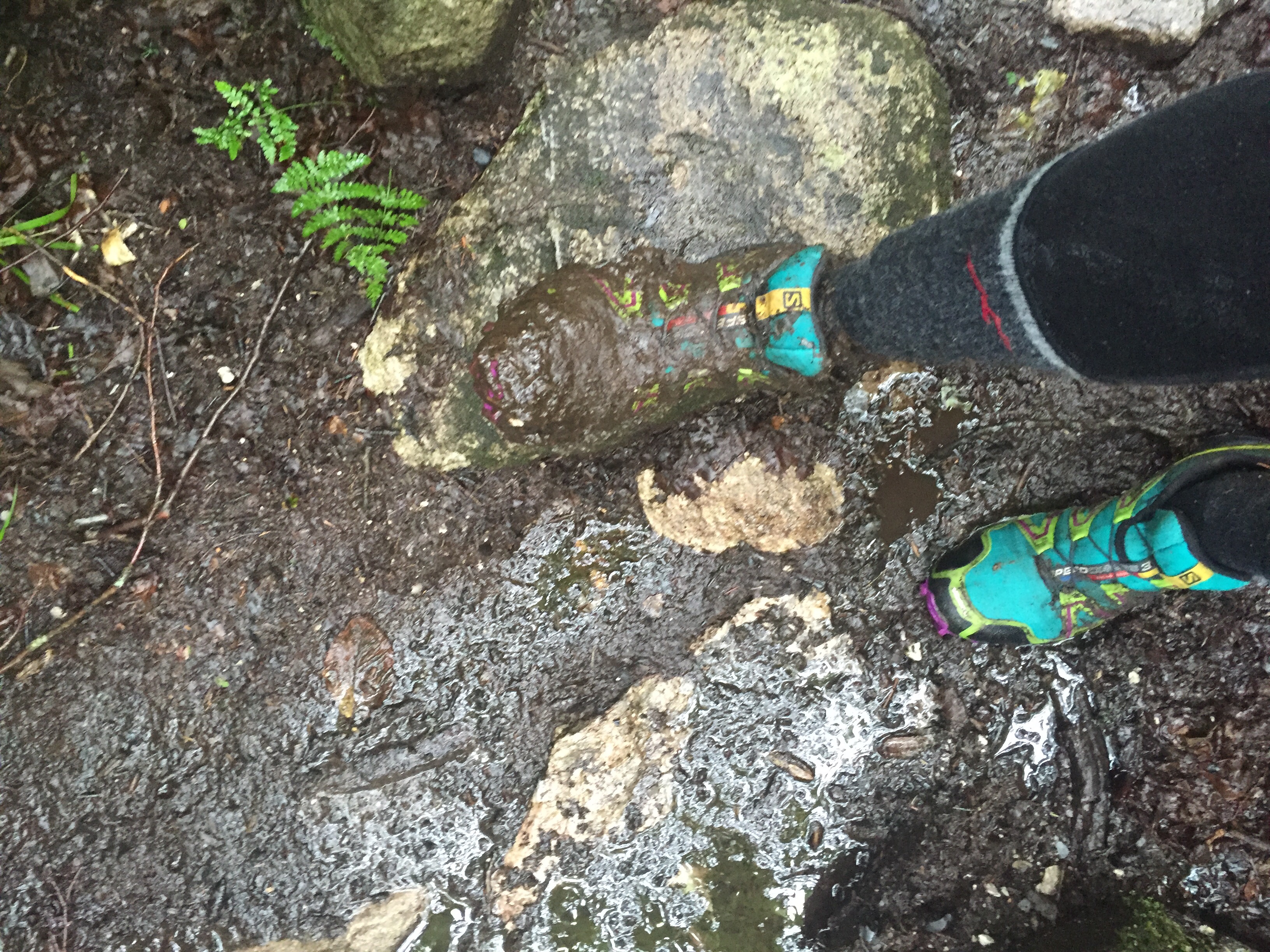
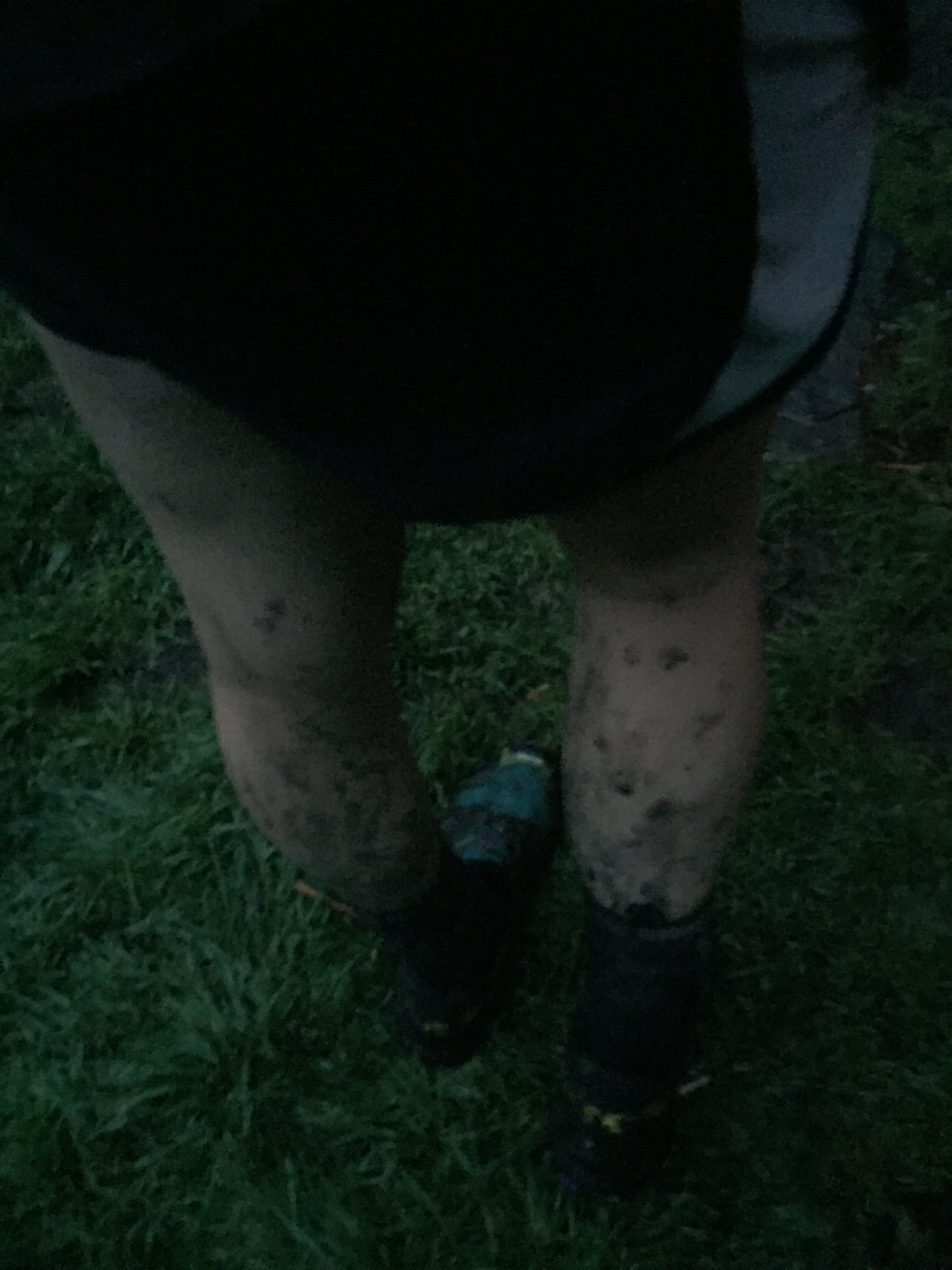
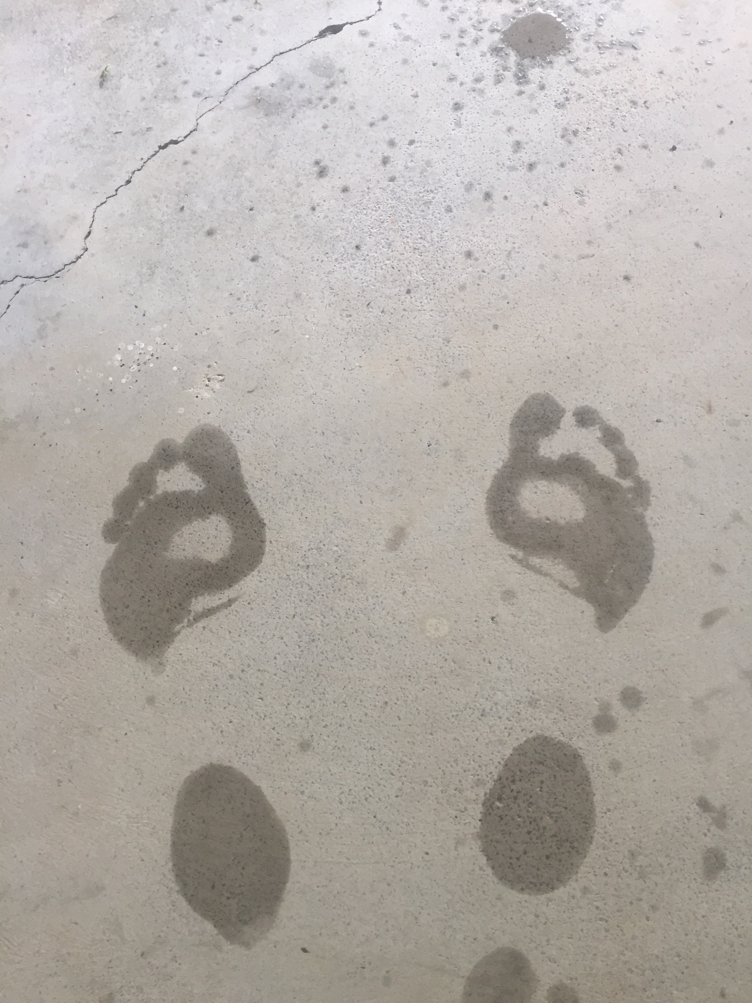
If you’ve wondered why I complain about my feet so much, well, here’s my wet feet in socks after hiking all weekend. Nothing touches in the middle. 


I changed shirts while we waited, drying off and warming up some. 
Don came and got us and we made it to Gambit’s car. 


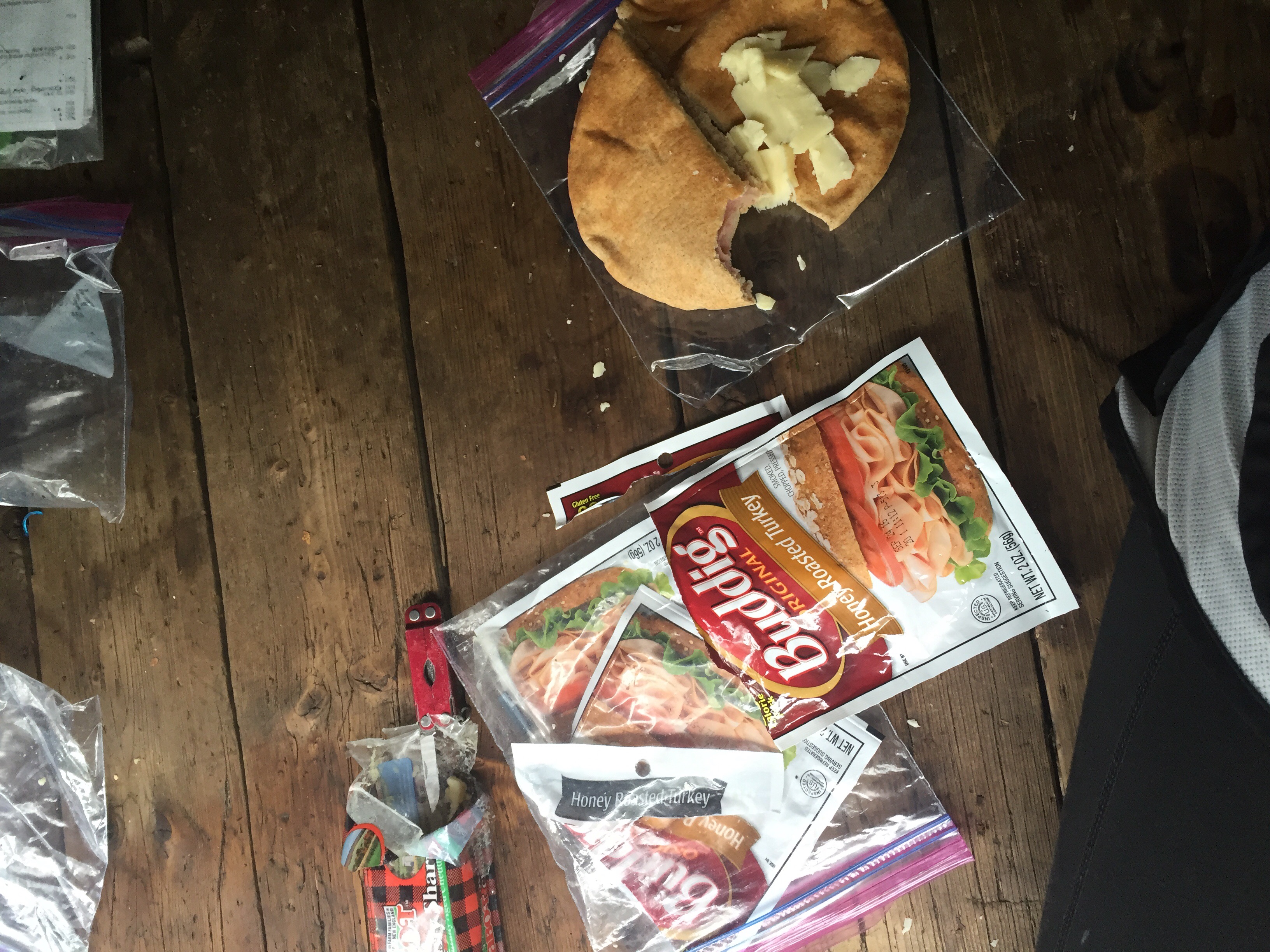
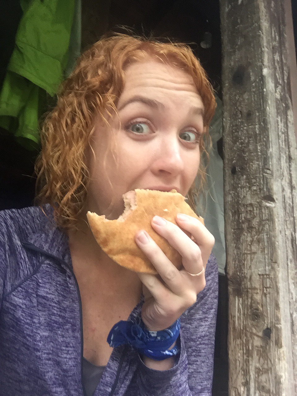
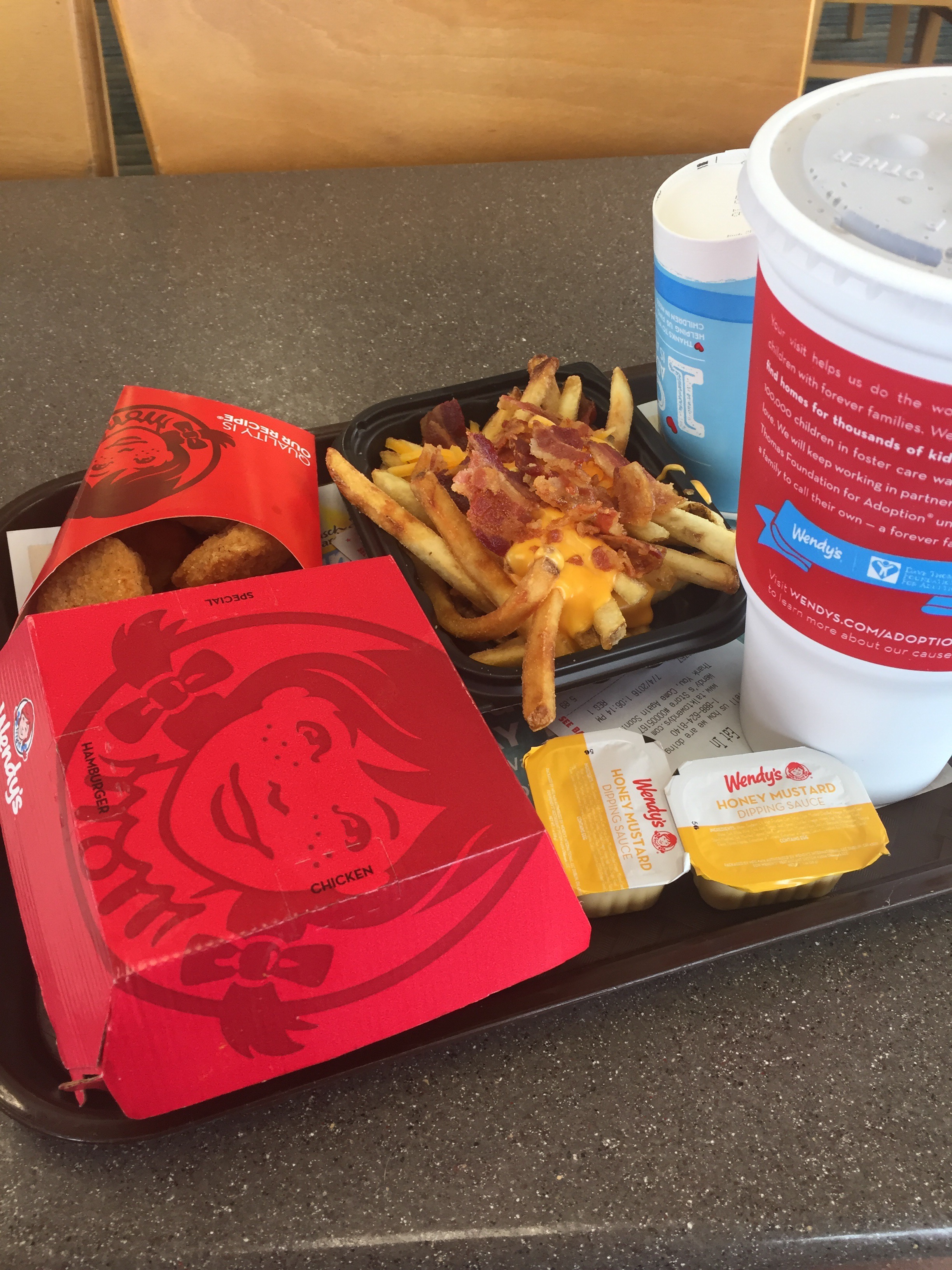
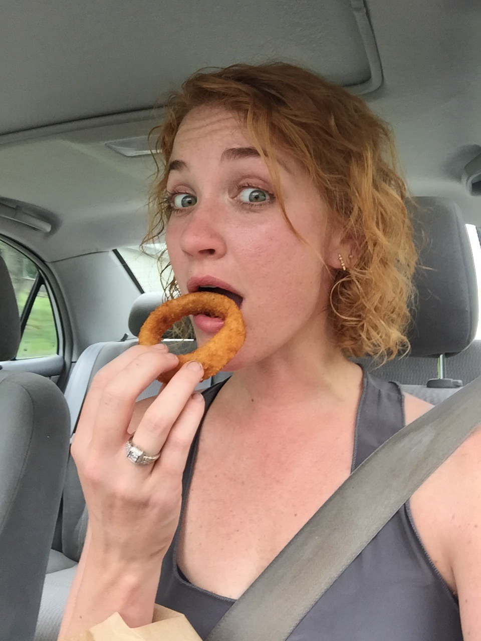
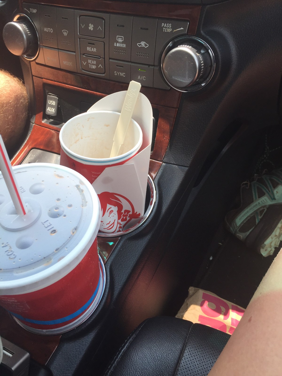
We found out that our pizza place was closed so we settled on Wendy’s. I ordered food and I ate it all. 
There was also a frosty and some of Gambits fries 🙂


MVP: tween bears

LVP: no Kelly knob view
Miles: 8?
I miss it already

Then Again: Beauty Spot Gap to 19E

Shortly before I met Gambit, I saw a post on Whiteblaze from a woman who was going to be in Gatlinburg for a conference and wanted to meet up with someone and hike for the weekend. “Perfect!” I thought (this was early in my search for people to hike with, so if you asked to hike with me and still haven’t heard back, I promise I’m not ignoring you!). I sent her a message, and we started planning. 

We settled on Roan, for Reasons. Mostly because it’s the right geographic area, it’s incredibly gorgeous, it’s at elevation so it wouldn’t be *too* hot, and there are lots of good parking spots. And at that point, I still hadn’t stayed at the barn, so this was my chance. 

As we planned, we switched to texting, and my nerves about meeting a random person to hike with for the weekend calmed. For one, she ran marathons in her spare time, so I knew she’d have a good fitness level. For two, she wrote with good punctuation and grammar, so I knew she couldn’t be too crazy. And three, she had multiple physics degrees and works at NASA as a researcher, so I knew we’d have plenty to talk about. 
Thursday came, and I left work early feeling poorly. A trip to the doctor and a few hours sleeping and I was like new, more or less. I left for 19E late, but we’d already arranged to tent separately and just meet up in the morning. I ended up sleeping in my car. With my mouse friend. 


In the morning, I drove down to Mountain Harbour Hostel to meet Tinkerbell (though at this point, she had no trail name). While I waited for her to finish packing up, I petted a goat! The day was off to a great start. We left Tink’s car (with her NASA stuff in it) at the hostel and headed down to Beauty Spot Gap. And I don’t think we stopped talking from that moment on. 


The hike started out in the green tunnel- nondescript, I suppose. 


We hit the flat cedar forest I had hiked through with Training Wheels months ago, on my 30 mile day. I had a sense of deja vu; another hike with a smart, determined woman, but vastly different circumstances. 


These fat little orange newts were all over the trail. One was remarkable fat (not this one) and slow. I named him Gus Gus. 


Eventually, after miles of walking and talking and the chatting that comes with getting to know someone in a way that is easy and comfortable, we came to Clyde Smith Shelter. 


The shelter was already occupied by 4 hikers, who had somehow managed to take up every inch of available space. We greeted them, friendly and easy. 
“Y’all staying here?” They asked us. 

“Well, that’s the plan!” I replied. “Are y’all staying in the shelter?”

“We haven’t decided yet. We might tent.”

The four looked at each other, then sat in silence. Tink and I looked at each other. Sharing the shelter was fine, but I would like to sit down and they’d taken up at least 8 mouse hangs with their crap. 

“Well…when do you think you’ll make that decision?” I asked. I was never patient, and these hikers were getting on my nerves. They hadn’t moved to let us sit or anything. 

“I mean, in a while, I guess.” Clearly we were all going to be best of friends. 
Tink and I busied ourselves with other things while they burned out gears trying to make simple decisions. Eventually they decided to tent, but that didn’t mean they moved their stuff. Nope, these hikers were going to continue to inconvenience us. 

We found out that we had come across Leapfrog, a NOBO who had just graduated high school; Love and Ditto, a testy little couple who were LASHers going to Harper’s Ferry or thereabouts before heading back for their last semester of college; and Hazmat, another summer LASHer with a year of college left. Love, Ditto, and Leapfrog were traveling together (the couple had met Leapfrog on the trail). Hazmat was on his own or trying to catch up to a group or something; it wasn’t quite clear. 
I was on the verge of asking Tink if she wanted to move on when two older men walked in. They were loud and charismatic and I knew immediately that these would be our people. 

Xanadu and Litterbug had been friends for 30 years. They’d attempted a thru, I think, and were now out for a 3 week section. They were hilarious and friendly (to us) and we decided to stay. 
Tinkerbell learned to hang a bear bag. 


We built a fire, and then played some euchre. Leapfrog popped out of his tent as soon as he heard the word euchre. I’d been pretty annoyed with him, mostly for some snide section hiker comments (“nice! Section hikers always have a fire! Thru hikers are just too tired after 15 miles to bother.”) but I guess he wasn’t too terrible. Or maybe he was. I didn’t really like any of them. (The LASHers said “we’re doing half the trail, so we’re practically thru hikers” and I immediately wrote them off.)


I was mostly annoyed that they were all going to the same shelter as us the next day. 
MVP: PCT hang (use a stick instead of tying off to a tree)

LVP: LASHers and Leapfrog

Miles: 15
*****


Tinkerbell got her trail name in the morning. I’d been considering Bear Bell or Tinkerbell (because she has a bear bell and also she is blonde and tiny). X and L came up with Tinkerbell independently, though, so it felt fated. She was dubbed, and then we set off. 


The jerk hikers had already departed, because “thru hikers get up so early” (this is patently false, in my experience; thruhikers get up whenever they please, which is sometimes early and sometimes 10am). 

Tink and I headed out, promising to save a space for X and L at the barn. We headed north through Hughes Gap. It’s funny; I remembered it being so steep and miserable (I did this SOBO on a 3 day trip of 27 miles, 27 miles, and Hughes gap was the very last of the final 20 mile day). But this time, it seemed…fine. Go figure. 

Do you remember this view? When I was here before, it was just settling in to dark, and all I could see was a wisp of the sunset and the lights of…Erwin? In the distance. I was distracted by my feet and possibly the finger I had sliced open (can’t remember if that was before or after this) and I just wanted to be done. This time there was a not great dog and a lot of sun. 


We made it up to the Cloudland Hotel site. 


And then down and down to Carver’s Gap. The section SOBO was actually an LVP! Can you believe that? It was kind of pleasant NOBO. I did notice that a lot of water sources had dried up on this section. 


After carvers came the balds. With Gambit, the balds were windy and chilly. This week they were hot and sunny. And hot. And sunny. 


But we made it to the shelter (after rescuing a poor day hiker named Tammy from imminent death) and even claimed the same sleeping platform that gambit and I had the week before! We spread out our stuff so that Xanadu and Litterbug could join us, and we waited and relaxed. 


A puppy came. 


And so did a “SOBO”. He was wearing jeans and claimed to have left Maine in March. I knew the trail hadn’t opened until May, though, so something had to be off. He also had a thick East Tennessee accent. And he was wearing jeans. 
Sure enough, word came soon that he was going back and forth between the barn and the hostel 9 miles north stealing from hikers. We made sure someone stayed with our stuff the entire day. 
There was dinner and sunset and at 8pm, Xanadu and Litterbug came in (I won the bet). 

We laughed with them, and found out that Litterbug had been asking people on the trail if they’d seen his wife, a redhead; shed ran off with a blonde. Tink and I died laughing. We all got the giggles and stayed up late slaphappy. 


MVP: tinkerbell’s gross dinner that I turned into an appetizer with ranch wheat thins and ate all of it

LVP: fake SOBO 

Miles: 15.2
*****
We woke up damp from the clouds that had wrapped around us in the night. There had been no loud sunrise; just a quiet brightening behind fog. The four of us sat around talking for hours, waiting for the skies to clear, hoping to get a view on Hump. And the waiting paid off. (the jerk hikers did not wait and rushed off on a 9 mile hike and got no views from Hump. Ha.) 

Hazmat in the background, for reasons unknown. Xanadu on the left, Litterbug on the right. 


And eventually we started the descent down to 19E. 


It was tough, knowing that our hike was almost over. The road walk back to the hostel was slower than it should have been, for sure. 


But we did get extra adventure on the drive to my car. For some reason, we forgot how long it took to get to Beauty Spot Gap, and convinced ourselves (*convinced*) that my car had been stolen. Fortunately, we found it. Two brilliant analytical minds, ladies and gentlemen. Lost a car on a gravel road. 


We said goodbye with promises to schedule another hike this fall. I hope it happens, because I have questions for Tinkerbell and I think she has more bags to hang. 


MVP: not stolen car

LVP: possibly stolen car

Miles: 9.6

Then Again: Carver’s Gap to 19E

Friday
I met Gambit on the Internet. I’ve been stalking Whiteblaze, a website for people who hike (mostly the AT, but other trails too) for a while, and I started posting at some point. I can’t remember why. In order to get approved you have to provide your city, so even before I started posting I knew there were several posters in Tennessee, including Gambit. 
But a few weeks ago, Gambit sent me a message and said he realized we were both in the same area in Tennessee and we should hike together sometime. I said sure, only I’m not exactly in Tennessee right now; he said ok, but do you want to go to Roan with me? I said absolutely. 
So that’s how I ended up hiking with a guy I’ve never met. We’ve been texting for a few weeks and he didn’t seem like a murderer. And some other people on there had met him and none of them had been murdered, so I met up with Gambit and his dog Ward at Carver’s Gap Friday night. 


We grabbed our bags and a cord of firewood (strapped to my pack because it wouldn’t fit on Gambit’s pack) and headed for Round Bald, where Gambit knew of a clump of trees with a good tent site. 


Well, that clump was taken, and so was every other clump, so we tented on the exposed bald. We had a great fire and stayed up chatting until about 1am. And then we went to our tents. That was a mistake. I staked my tent out like crazy but it was still collapsed on my face most of the night. The wind kept shifting so it didn’t do me any good to reposition my tent, even though I tried. I didn’t get much sleep.


LVP: wind

MVP: fire

Miles hiked: .8?

*****
Saturday
 I woke up, went to go do morning things, and immediately tripped and fell in a hole. Then I came back and picked up the things inside my tent so I could pack up my tent. I stepped over a stake to get around the side and tripped over the tent pole. It snapped in two. I think it was already in material failure, due to the high tension load from the wind. My foot just put it over the edge. #materialsclass
So that’s two falls and I haven’t even had breakfast. I wasn’t having a great morning. 
Neither was Gambit, despite the fact that he had a Hilleberg, which is a crazy bomber tent made for those conditions. He didn’t have all the guy-out lines on it though. He packed up, we got moving, and headed back down to Carver’s Gap to drop my car off at 19E and then drive Gambit’s car back to Carver’s and start our day. On the way down, I took my third tumble. I slipped on a log stair and face planted on the trail. It was impressive. My leggings ripped and everything. 


We dropped my car off and headed back for the real hike of the day. Yes, I fell again. Tripped over a root. I had already had a Safety Stand Down with myself before we left the tent site, but clearly I needed another one. I was now bleeding from 4 different places on my knees. Eyes on Path; Slips, Trips, and Falls; Complacency. I went through all of my safety and HU Tools in my head but it didn’t help. I was just a clumsy oaf. 


We took a side trail up to Cornelius Rex Peake. The rhodos were glorious. The creepy dark tunnels of the past few months had brightened into enchanted princess pathways, with floral carpets and birds flitting about. The sun was streaming in, and the bushes blocked some of the gusts of wind. 


Up top, we stopped in a small copse of trees for lunch. It was 9am, but it was lunch. Hiker hunger. 


We didn’t have much further to the shelter. We had originally planned to tent on Big Hump, but since the night before had been so rough, and it was still so windy, we decided to bail and stay at Overmountain Shelter, which used to be a tobacco barn. We arrived at 11:10am. We laid down in the sun and napped. 


Gambit was worried about how we would spend so much free time, just being lazy, but I was unconcerned. 


I found Carpenter in the shelter log. 


A group of men came in for lunch at an appropriate lunch time. They gave me some guff about Gambit buying me a dress or jewelry to make up for my busted knees. “I’m not that kind of girl,” I told them. “I’m a hiker; all I want is food, and he already owes me pizza.” I don’t remember what he owed me pizza for (I think because I was winning the slips, trips, and falls competition) but an hour later I owed him pizza because I lost both Trail Jenga and Trail Pétanque. The men were mostly cool (there was another “you sure are handy! I can see why he’s dragging you around!” comment that was made, but I overlooked it) and they eventually left. Gambit and I had told them how much we hiked; I don’t know why they assumed Gambit was dragging me around. (I do know why.)
Puddlejumper came in. He’s sectioning now, but attempted a thru a few years ago. He was a cool guy, and we immediately hit it off with him. We played Uno, and I won …all of it. Uno Queen. Puddle jumper was meeting a Meetup group for a hike, but they weren’t quite at his pace, so we commiserated with him about how it’s fun to find anyone to hike with, but it’s hard to find people who are willing to do 20 miles in the rain. Good thing we all three found each other. 


The shelter filled up, despite being huge. There were people tenting outside, boy scouts tenting upstairs (don’t do that), just people everywhere. All section hikers. 


The fun thing about section hiking season is that people want to hang out, build fires, and stay up late. And boy, did we. A young boy played with Ward. A father and his son tended the fire. Two men and Gambit cut wood while I critiqued their form (people love me). 


We sat around the fire and some drank and some ate and some listened and some talked. In pieces and out of order we learned names and occupations and secrets and hopes and fears. We gave advice and rolled our eyes and shifted away from the smoke of the fire, forming new groups and starting new conversations and finding new connections. 


Section hiking season is different because we all know where we’re going when the hike is over; we can keep in touch and network and make plans to hike together. We were a good group, and it was a very good night. 
When I said goodnight to my new friends and crawled onto the sleeping platform, tucked between Gambit and Puddle jumper, it was with the familiarity of something I’ve done a hundred times. Finding my pillow; straightening out my quilt; making sure my sleeping pad is in the right spot; adjusting everything just so; putting my headlamp and water and phone next to my head. My feet tuck themselves in to my quilt in a different way than they do at home. I have a different position for sleeping when I camp than I do at home. But it feels just as comfortable and familiar and cozy, especially when I’m doing it while teasing Gambit and Puddle Jumper and everything is shining in the bright moonlight streaming in the old tobacco barn. 


LVP: numerous falls

MVP: naps in the sun

Miles hiked: 8+2=10?

*****

Sunday
I woke up to see the first colors of the sunrise stretching across the mountains, and then I went back to sleep. 


I woke up again when some of the hikers started cooking on the sleeping platform. Not great etiquette, especially since the picnic table was empty. The sun was bright, and Ward came over to make sure I knew he needed attention. 


Puddle jumper and I woke up slowly, but gambit was ready to go. I ate in bed, then packed up. Gambit, Ward, and I headed out, agreeing that puddle jumper would meet up with us and we would give him a ride to his car and all grab pizza together. 


The weather was warm, and I started shedding layers quickly. I fell behind, and Ward kept running between me and Gambit to make sure he knew where we both were at all times. It was fun, hiking with a dog. 


The climb up to little hump was steeper than I remembered. I had done this section SOBO and this time we were headed NOBO. It all looked a little different, but no less gorgeous. 


We took a few breaks. 

And we finally made it up big hump. 


Coming down big hump, we ran in to Coach Lou, another WhiteBlaze poster. He was fun to chat with. If Gambit had told me that I was in this picture, I wouldn’t have made such a stupid face. 


We stopped at Doll Flats to wait for Puddle Jumper. Shortly after, he caught up to us. We hiked the last mile and a half down with him, and I loved chatting with him. It was a good hike. 


At the trail head, crossing to my car. 


Gambit ran in to the gas station to get us “couple schnacks” (- inside joke from brew’s crew) which we enjoyed IMMENSELY. Then it was off to Hughes gap to drop off Puddle Jumper, then Carvers Gap to drop off Gambit, and then we all met back up in Johnson City for Scratch Brick Oven Pizza. 


Gambit told us that he would buy the pizza if we would let him order. I was fine with that. Puddle jumper went off to buy beer (it’s BYOB) so I went to the bathroom to spend 10 minutes washing my hands and face. Just kidding, I don’t care about dirt that much. I just splashed some water on myself. 


The pizza was incredible. I mean, insanely good. I would gladly drive 30 minutes out of my way for that pizza. The kitchen staff asked us to pick another record, so we had that job, too. 


We ate this entire pizza, drank some beer, and planned at least 2 more hikes together and some trail magic for SOBOs. 


But eventually we had to leave, so we all three said goodbye. Until the next time, that is. 


LVP: early morning

MVP: scratch pizza

Miles hiked: 9.6

Then Again: Wayah Bald to NOC

It’s the summer of slowing down! I’m kicking it off by meeting Luke Skywalker, my friend from Top of Georgia hostel back in January, for a lazy little section. We decided to meet at Wayah Bald Friday night, so I left work, grabbed my pack, and headed up to North Carolina. 
This was a different route than I’ve been driving to get to the trail. These back roads took me through Elberton, the granite capital of…the world, maybe. I knew something was up when I passed a daycare that had a pre-fab, corrugated metal building and a fancy granite sign out front. In fact, practically every business had a granite sign out front. There was even a granite museum! 
Next was Royston, where …gosh, some famous baseball player grew up. I can’t believe I forgot because his name was everywhere, but nonetheless I have. Ty Cobb! That’s it. Brain like wet cake. 
There were small houses and giant Victorian houses and old store fronts and beautiful small city squares. It was a great drive. 
Eventually the hills turned to mountains, and the drive into Franklin became familiar. I’ve made this drive before, or at least part of it. I hiked the NOC to Wesser Bald with my friends Shannon and Michael and a few of their friends last November. The infamous 10 miles that have been haunting me. The 10 miles that I’ve skipped over. I’m going to snap those up this weekend. 
Anyways, that group was gracious enough to allow me to try my hand at planning a section for the first time, and I tried out some gear on that trip, and I got to see what it was like backpacking without Stewart. And I still loved it. And the rest, as they say, is history. 
I hit a gravel road and started driving up and up and up, the mountains turning blue in the distance as the sun was sinking to my left. I hit the trailhead, parked, and grabbed my bag, hustling off to the Wayah Bald firetower to meet Luke. 
I climbed up the stone stairs calling out greetings. It was good to see Luke again. We caught up on Carpenter and Gonzo and hikes we’d gone on since we’d parted ways back in January. Two of Luke’s friends had joined us for the night, also. They were headed west on a cross-country road trip, exploring as they go, and one of their stops is this gorgeous firetower with us. 
So far, the sky looks clear, with stars shining and the lights of Franklin glowing in the distance. We’ve decided to risk sleeping up top, and hope the leaky roof won’t need to keep any rain out. The reward of waking up on top of a firetower is too tempting. We’ll take the risk. 
MVP: weather

LVP: random hikers

Miles: .1

*****
It’s good to take a few risks in life. The weather held, and Luke and I were able to spend some time sitting under a clear sky, talking about life and friends and the trail and staring at the stars, unrolling in the sky in dimensions I’ve never seen before. 
We went back up to the tower, but didn’t quite make it to sleep before a few hikers crashed the party. We heard them drive up and walk to the firetower. It was about midnight when they arrived. I don’t think they knew we were up there until one of luke’s friends moved in their hammock. The randos apologized, got quiet, and disappeared. I assume back to their car. 
Luke’s friends left early in the morning, and I slept longer, but did wake up in time to see a wan, pale sun rise over foggy mountain. Puddles of fog and cloud moved sluggishly through the ridges, lifting slowly as the sun heated up. 


By the time Luke and I were done with coffee, the landscape was mostly clear. 


We headed to NOC to drop off my car, and while we were there, we took advantage of the restaurant for a nice breakfast. 


The drive back to Wayah Bald was lovely. I loved riding in Luke’s truck on the winding backroads, the windows down, and sun shining. 
On the way up, we stopped at Wilson Lick forest ranger station. Wouldn’t you know it, one of the windows was open, so we poked around inside. Nothing much to see, but notice how the same tree is in the picture. 


We got back to Wayah and started our hike north. It was mostly downhill and mostly nice. We did get rained on (is it really an AT section hike if you don’t get rained or snowed on?) but we made good time. 

We stopped at Cold Spring shelter for water and snacks, then hiked on to Rocky Bald. I had stopped here with my dad, back in January, on the first day of my section hike. It is still a beautiful view. 

We walked on downhill to Tellico Gap, and thus began the 10 mile sweep, catching those pesky ten miles I hiked in November 2015 instead of 2016. 


It was only 1.2 more miles to Wesser bald firetower but it was all up hill. I made it first, and scouted tent sites. 


Luke arrived, and we went up top. We chatted with an older couple from the area. Then a group of day hikers who had been rafting came. Eventually everyone left and Luke and I started setting up camp. Luke went for water while I gathered wood for a fire. I got it started and set up my tent in case of rain. Good thing too, because it came a gully washer before he got back. 


My fire survived the downpour though, so we dried out over that while we ate some food. I tried to get fancy, but either I don’t like couscous or the migraine id been battling all day had killed my appetite. 
And then the rafters arrived. 


Boots was the first. I’m not sure I know any of the others’ names, but they were all characters. Boots is even Cherokee (he showed us his card and taught us some Cherokee, which was neat). They were raft guides from the NOC and they’d come to drink beer and cook hotdogs. They were willing to share, but I wasn’t feeling up to it. I mostly tended the fire. 
The sunset proved uninspiring, but the way the clouds moved in on us was incredible. The last two pictures were taken within 2 minutes of each other. 

We chatted with the rafters for quite a while, then they started heading out. It looked like rain, though, and Luke didn’t have a tent, so he decided to head for the shelter. I decided to stay put. 
I put out the fire and hung the food, and the second I zipped up my tent it started raining. That’s pretty good timing. 
The thunder is getting further away, and the rain is mostly dripping from the trees now. This is a good soundtrack for sleeping, I think. 
MVP: Rocky bald

LVP: gnats

Miles: 11
*****
Last night was the best sleep of my life, I think. I woke up at 5:50am, just in time to get my food down and climb up to the firetower. The sunrise was…well, it happened. The sky got lighter. But there was no impressive changing of colors. I was in a giant cloud. I ate breakfast and clambered back down and went back to bed.


 I had another incredible sleep. 


I woke up again at 9 to a text from Luke, who was wet and ready to leave the woods. I packed up (rather slowly) and met him at the shelter. The rain came down, and down, and down. It didn’t stop. 


We saw the blue blaze trail the raft guides had told us about and decided to be adventurous. 


Off we went, abandoning the AT and the map. The trail was steep and overgrown. There were quite a few water crossings, which evidently feed into the Nantahala. Or something. 


We stopped at a waterfall for water. Luke went up the left side and I went up the right. I knew it was stupid. I knew I was going to fall. And I did. My feet slid out from under me, and I slid on my hip allllllll the way back down. It was impressive. I wrenched my shoulder up and did something to it, so add that the the fingers I burnt on my pot last night and all the usual bumps and bruises and this might be my most injury-filled section yet. 


We hit the end of the trail and started the road walk. We weren’t quite sure how long this was supposed to be, but we knew it would end at the gas station, so we kept walking. My AT map did help us out in a few places here. 


It was still raining, and we were thoroughly soaked. When we hit the gas station and started walking towards the NOC, we decided to stop off at Kelly’s for a burger. And boy, was that a good choice. 

With full bellies we headed back into the rain to the NOC, and then back to Wayah to Luke’s truck. But first we stopped and picked up a hitchhiker. A raft guide was standing on the side of the road thumbing, so we pulled over for him. He was going 7 miles up the road, just before our turn, so it was convenient for all of us. I learned that they go rafting rain or shine, even when there’s lighting; they consider the trees tall enough to be lightning rods. I supposed they were in rubber boats, too; he said he hadn’t ever worried about it during a thunderstorm, but then again, he didn’t really want to question it too much. This was his second summer as a raft guide. 
We dropped him off, then continued on. I let Luke out at his car and we said goodbye, with tentative plans for the next weekend. 
Within 5 minutes of driving I was hungry again, so there was more food. It was hard to eat with my bad shoulder, but hunger overcomes. 


The summer slowdown has officially begun, and I do declare, I am a fan. 
MVP: last night’s sleep 

LVP: that waterfall (or my lack of balance?)

Miles: 5.5, we think. Maybe more?