
“And I shall have some peace there, for peace comes dropping slow.” (Innisfree)
Flying to Las Vegas (see my last post), we flew over giant ranges of mountains. I imagined myself walking up the ridges, standing on a ledge, writing a blog post in the morning sun, while an airplane full of people passed overhead, unaware of me down below. What an idea, isn’t it? That hundreds of people are looking down at me while I’m walking up a mountain…and they have no idea I’m there.
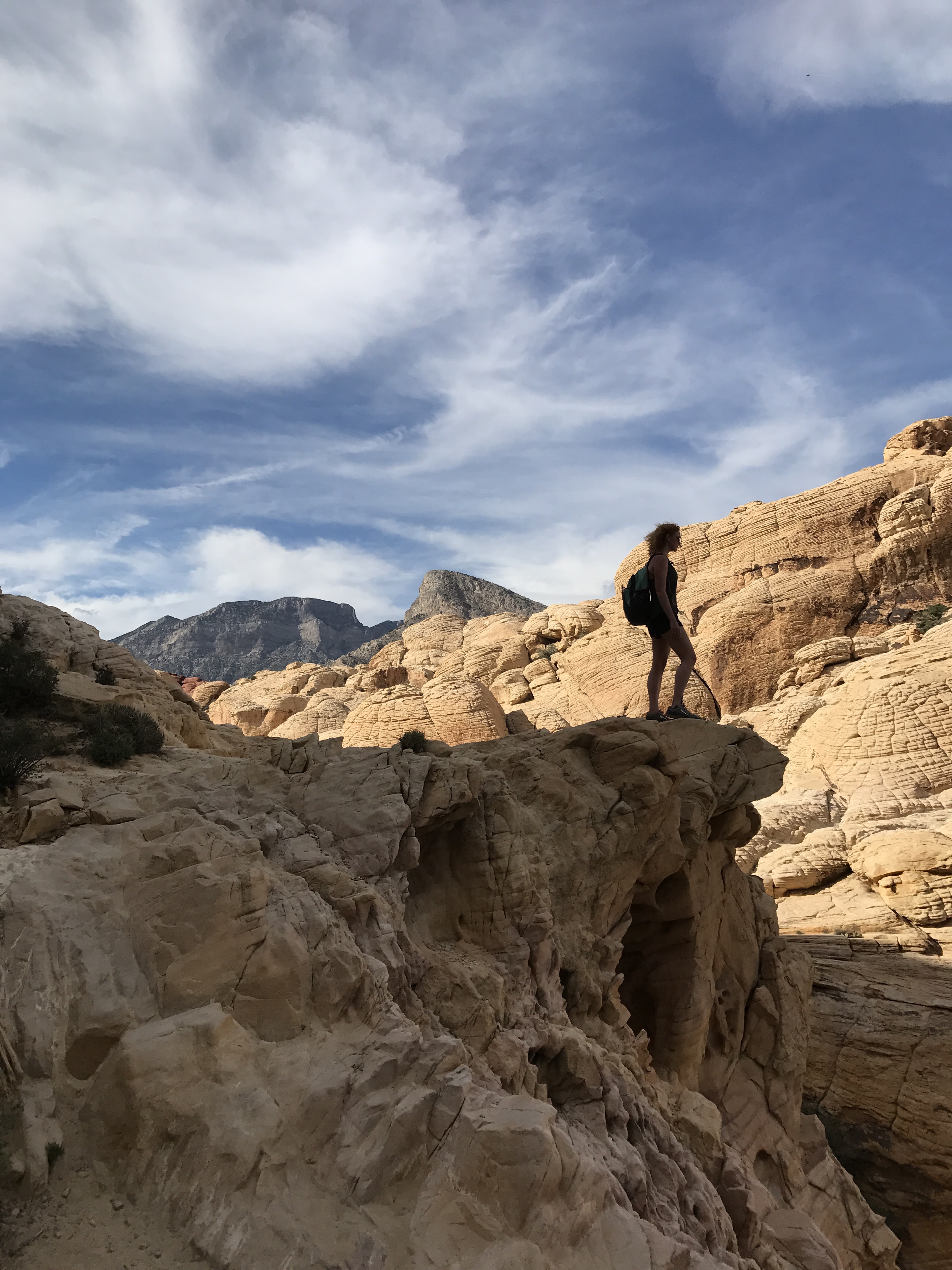
Of course, I really have no idea where those mountains were, so I doubt I’ll ever hike those *exact* mountains, but what bit of eastern airspace isn’t crossed by some Delta flight going in to Atlanta?
So here I find myself in Virginia once again, trying to finish these last few miles that I have left. The last few weeks of school have been a whirlwind- trying to gather up the details that are constantly slipping away from us as we grow closer to the date of our (now giant!!) student conference, studying for and taking my last few tests as an engineer (uhhh…hopefully), working on my design projects, spending time with my friends…
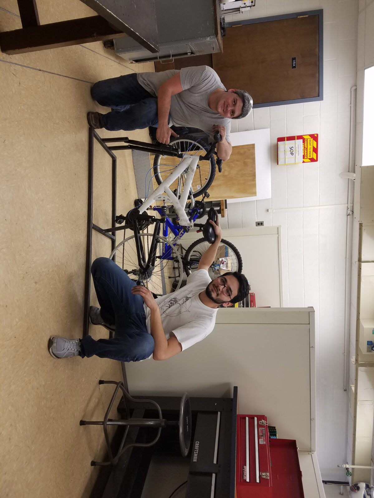
(Giovanni and Trey with our unfinished Senior Design project)
As always, I find solace in the woods. The change coming is terrifying, but the path before me in the forest is a constant.
So I go.

In this case, I’m connecting a July 4th section with Gambit to the end of my Winter Section– Sinking Creek to Catawba.


So I left Cookeville Friday morning to meet Don, my shuttle driver. He’s nice and helpful and I like to use him when I can (he lives in Pearisburg).
We drive to Sinking Creek and I start my hike. The wind is blowing, the temperature dropping, and snow is spitting at me.

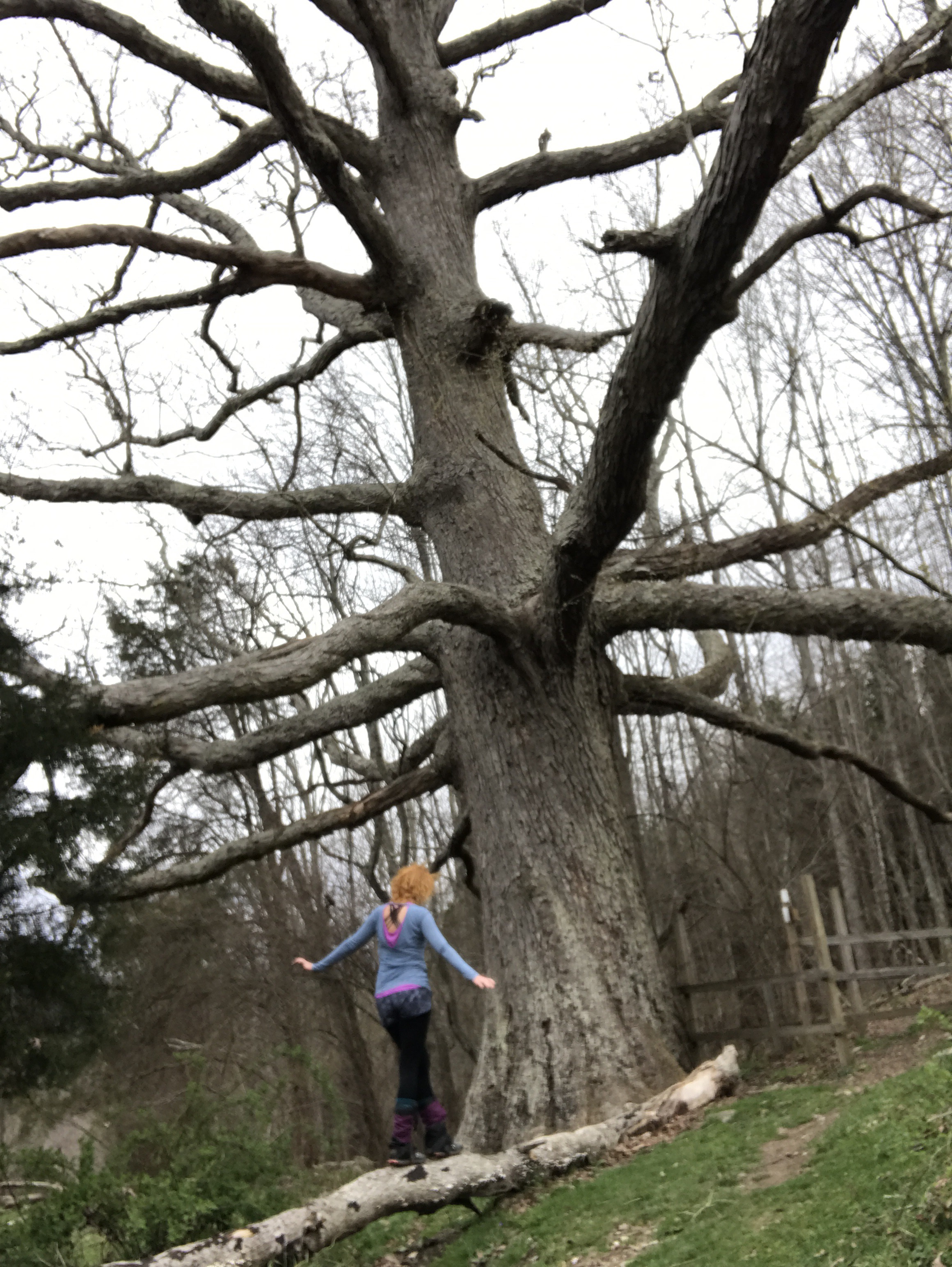
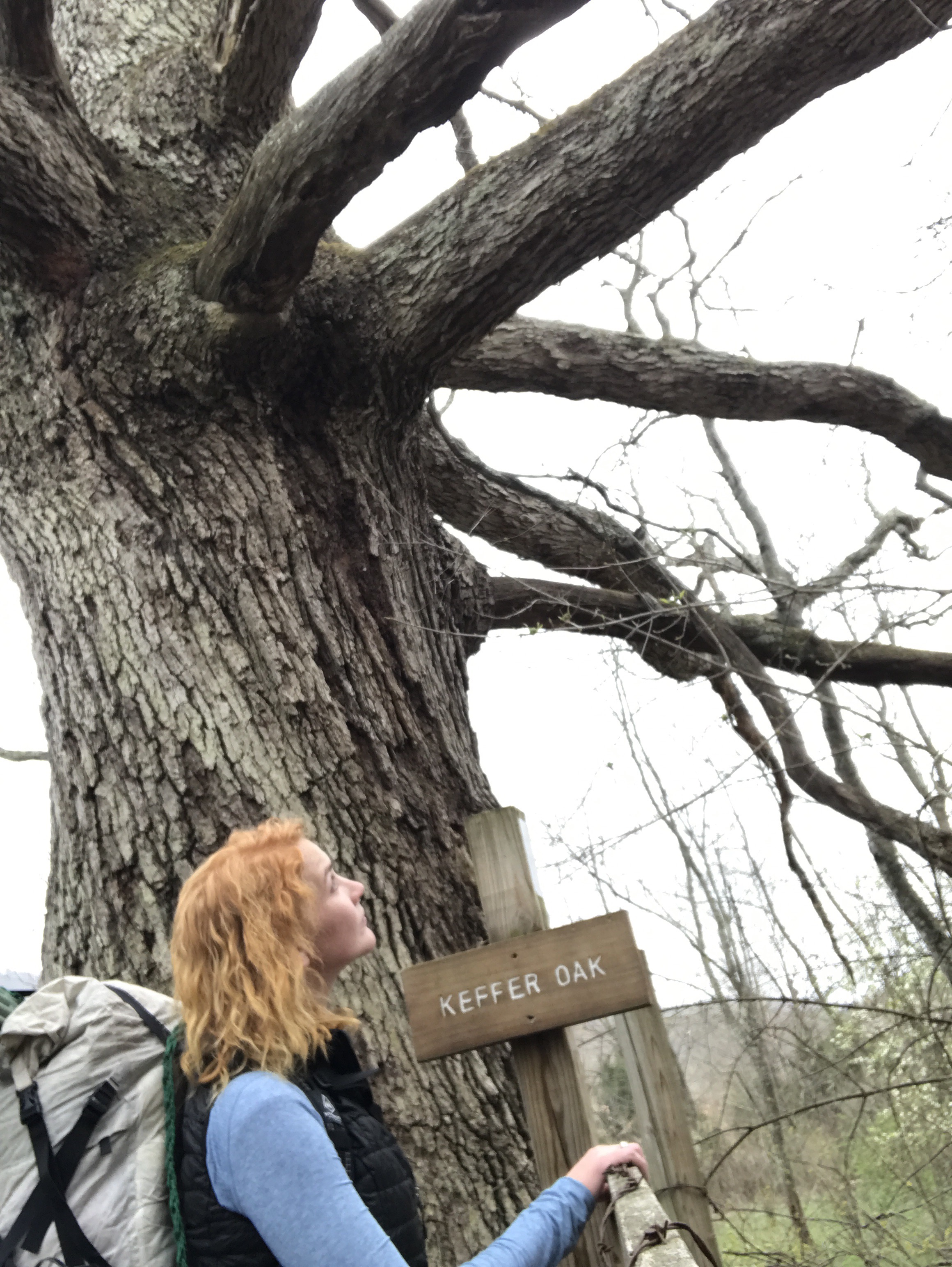
I’m stubborn, though, and I don’t layer up until an hour or so after I should have. In that time, I see Keffer Oak (the second largest tree on the AT I believe), cross a stream, and climb a mountain.
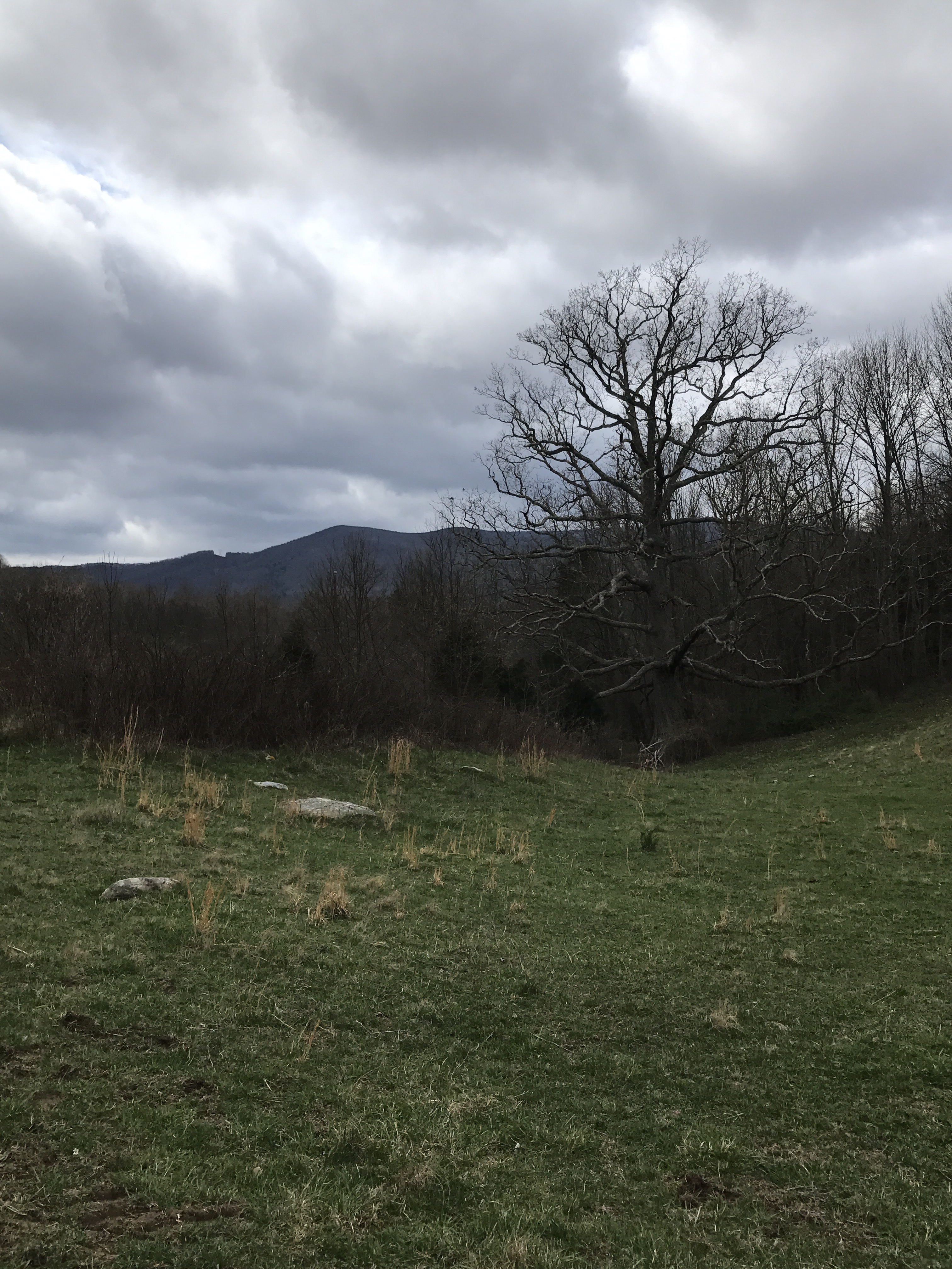

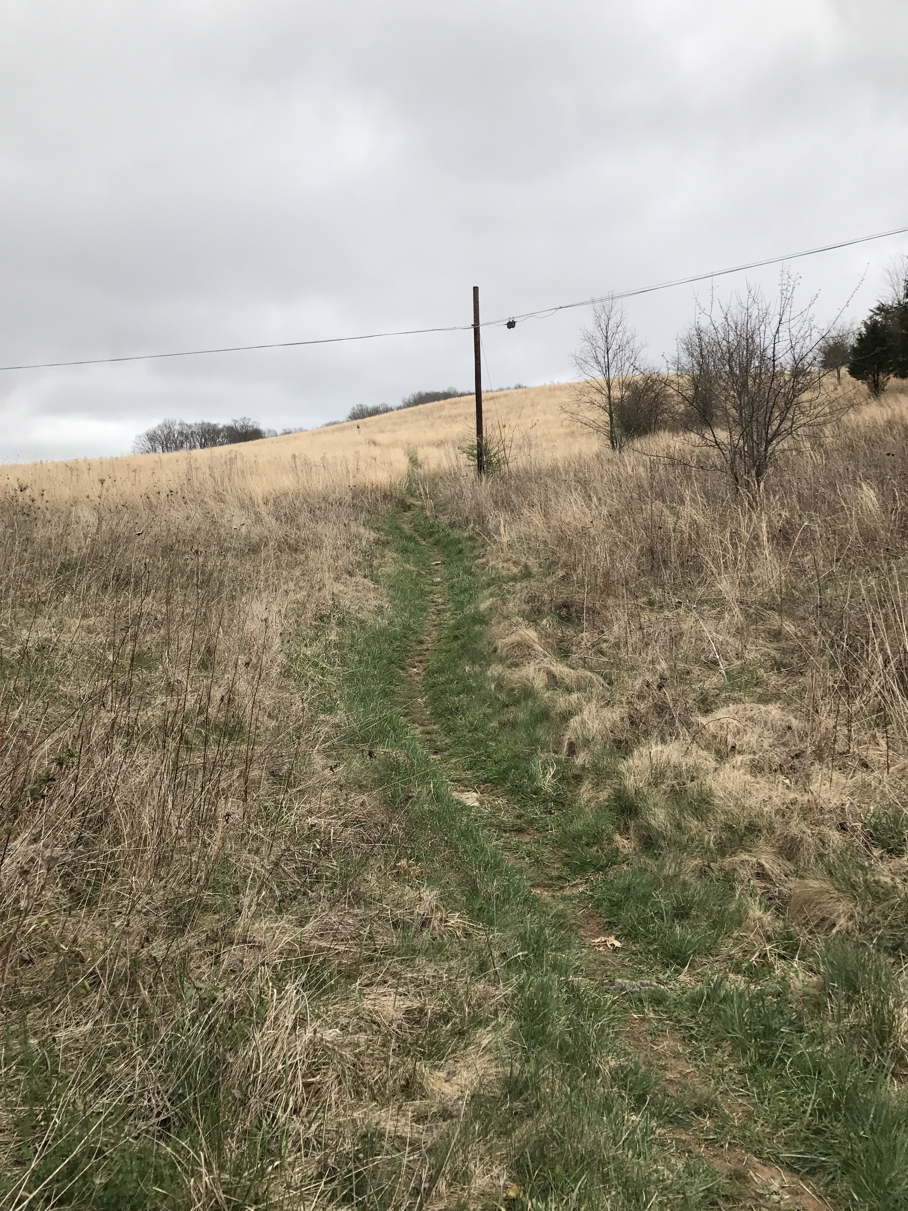
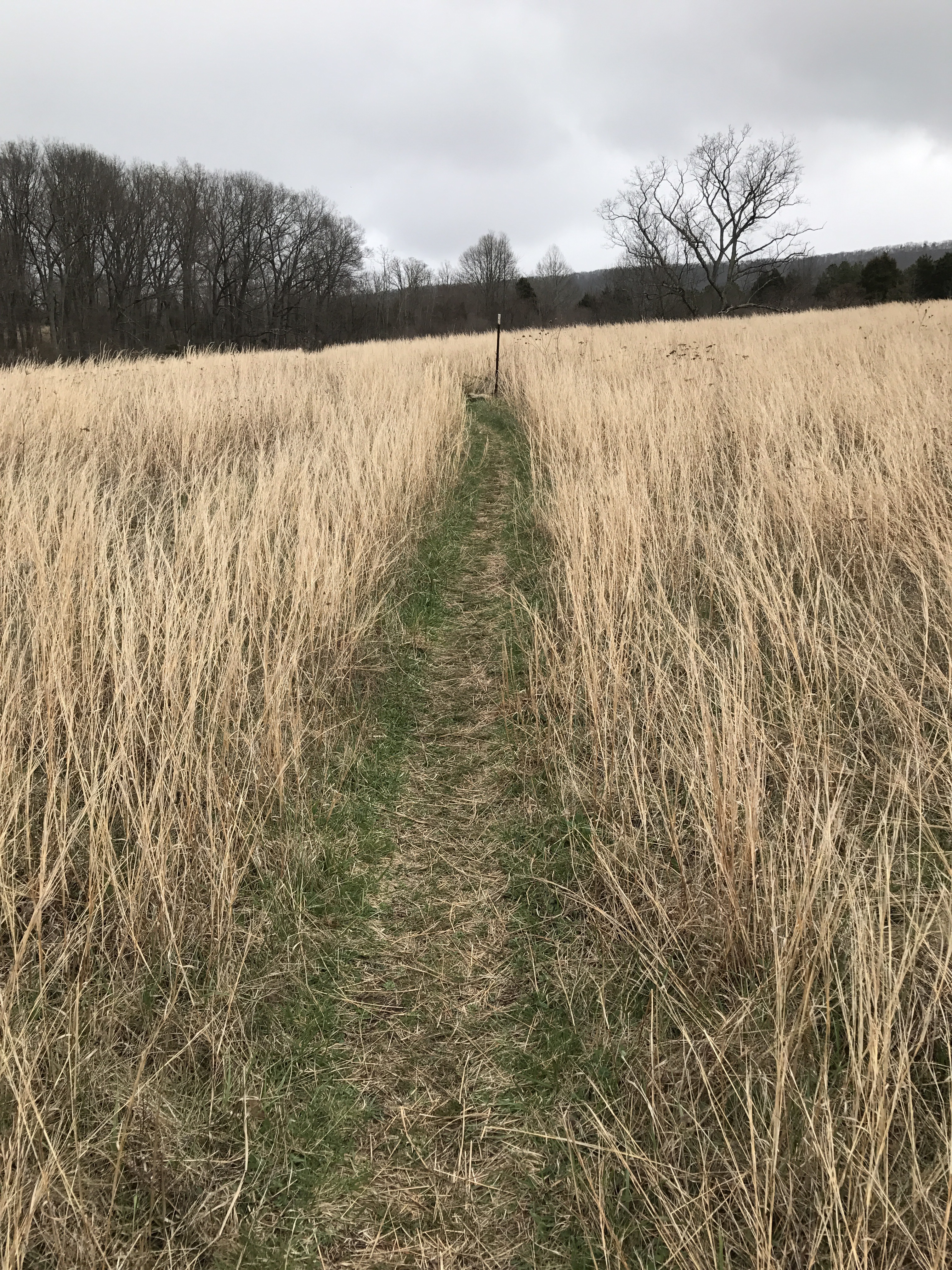
There were still signs of spring

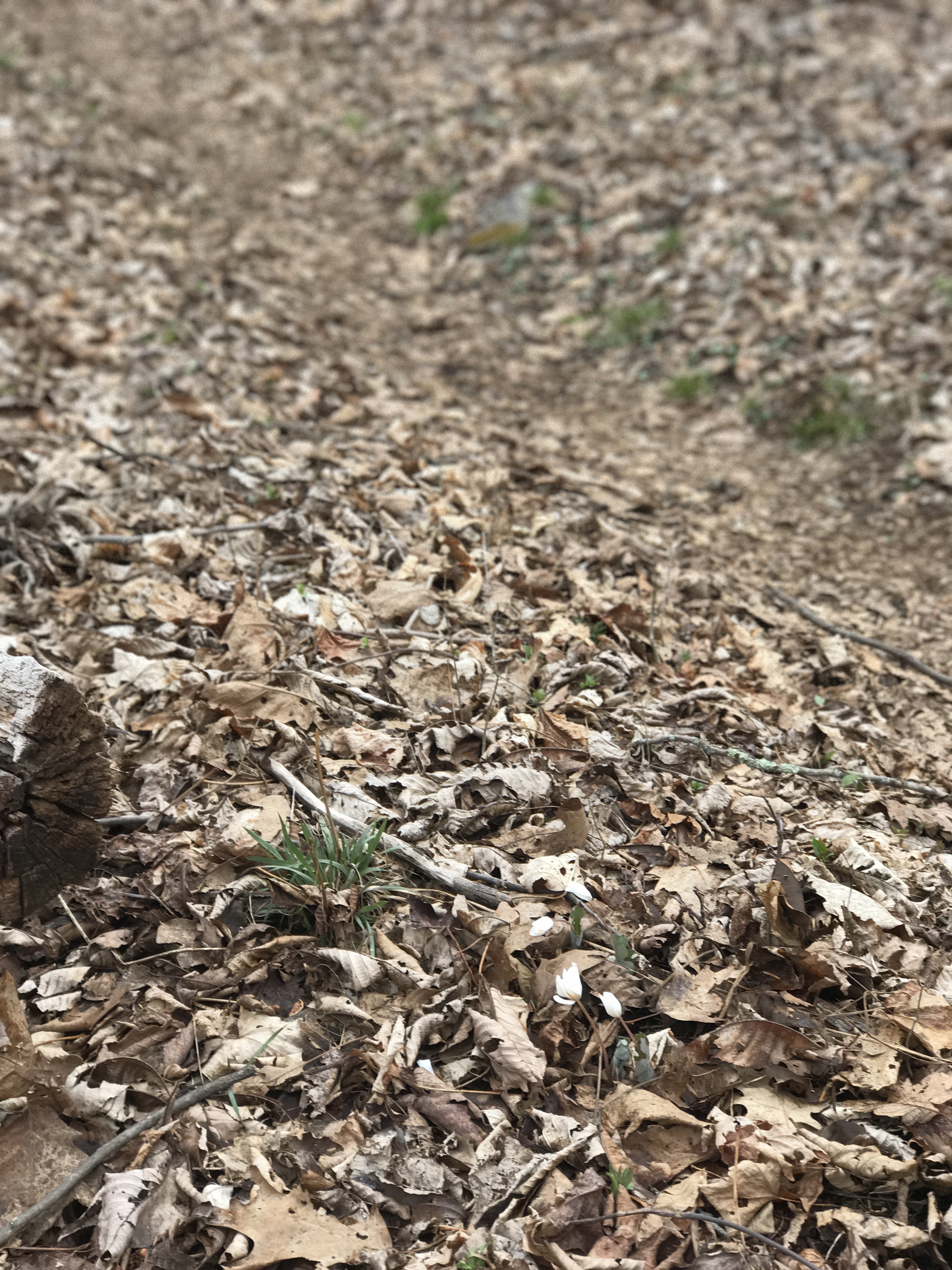
And signs of snow
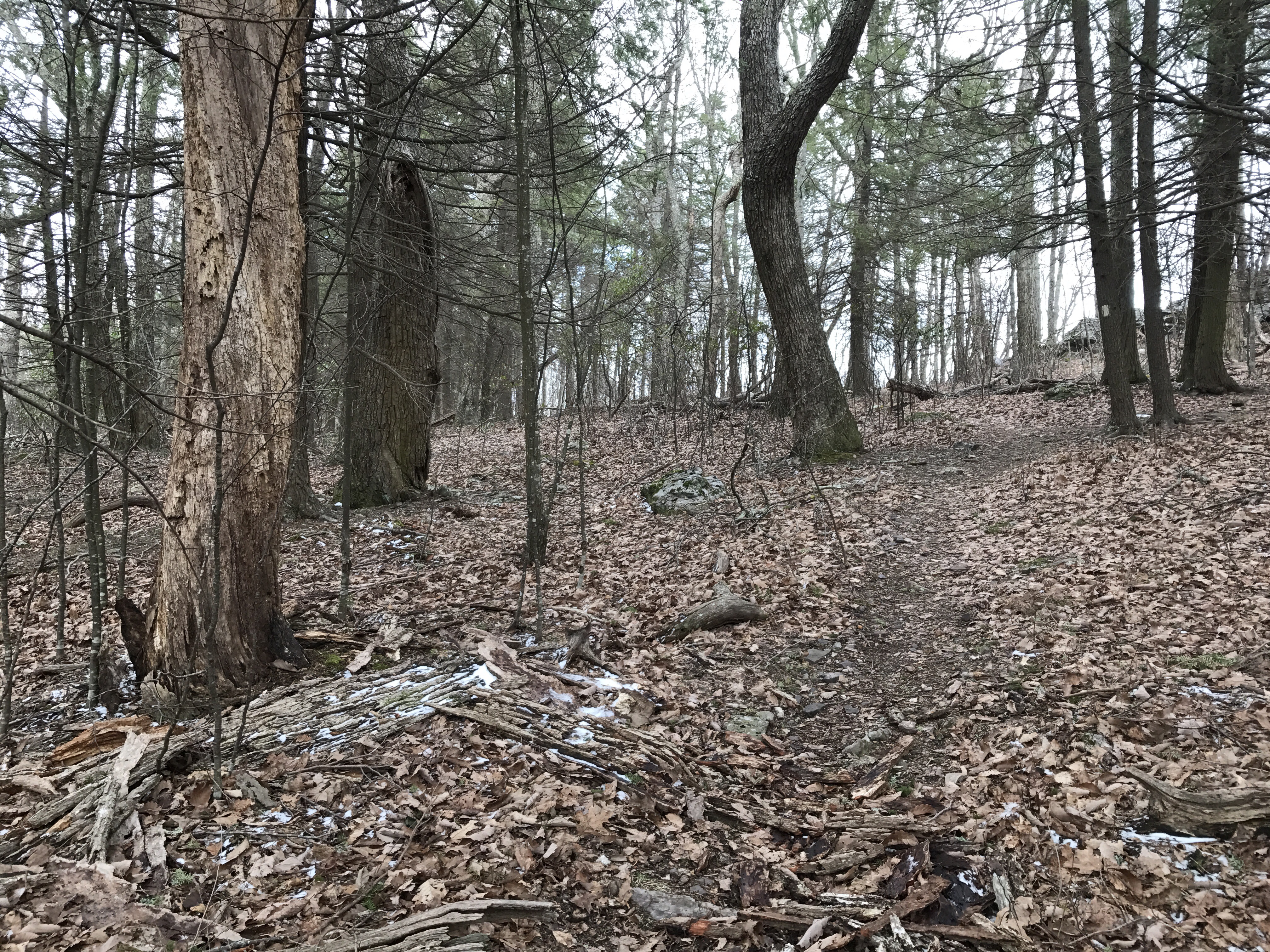
I passed cairns left by (probably) long ago farmers. They were giant rock piles, mostly around trees, all through the woods. Made no sense.

And then the shelter. It was a steep .4 down, but that meant .4 lower elevation and in a holler protected from the wind.

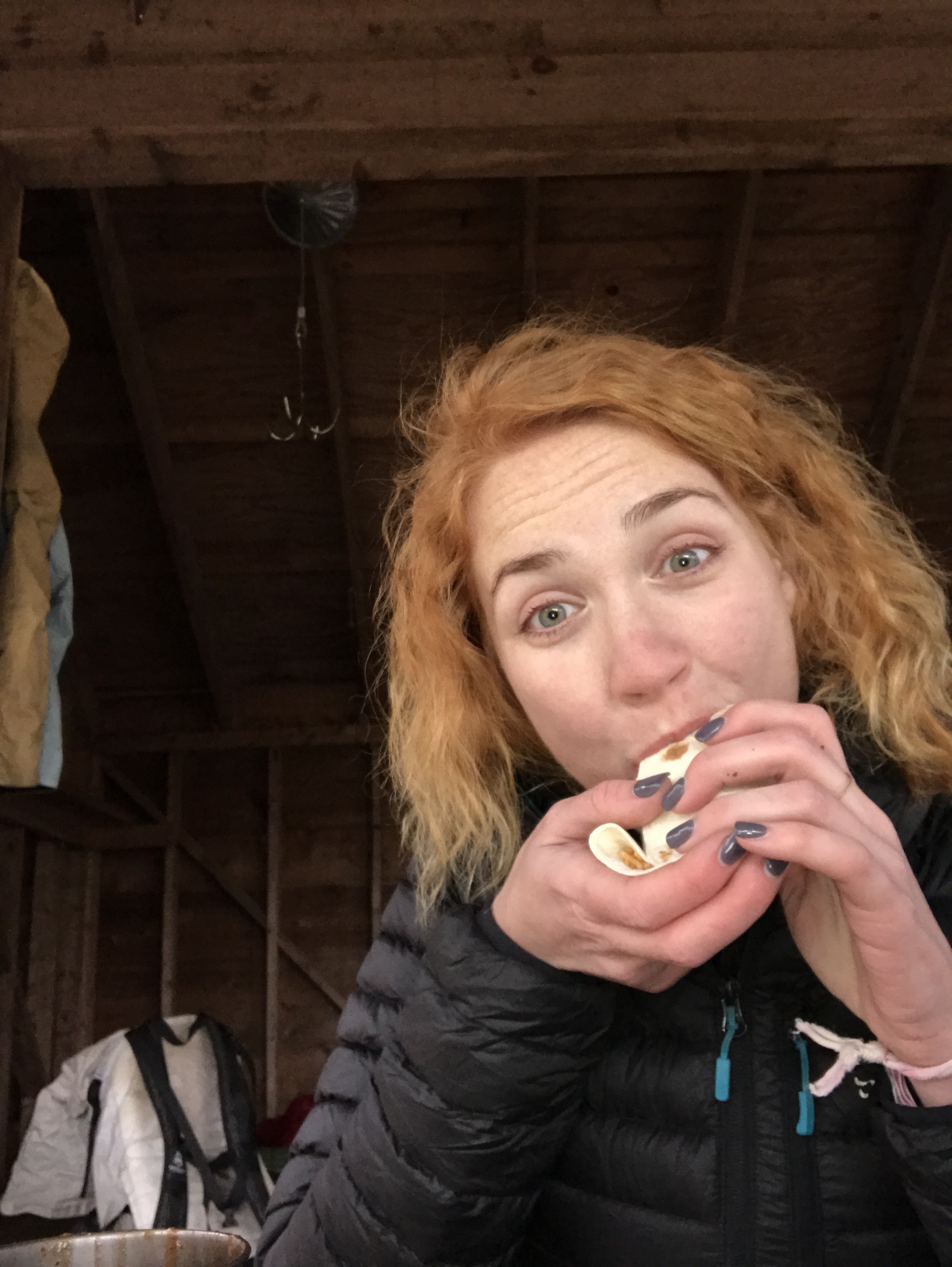
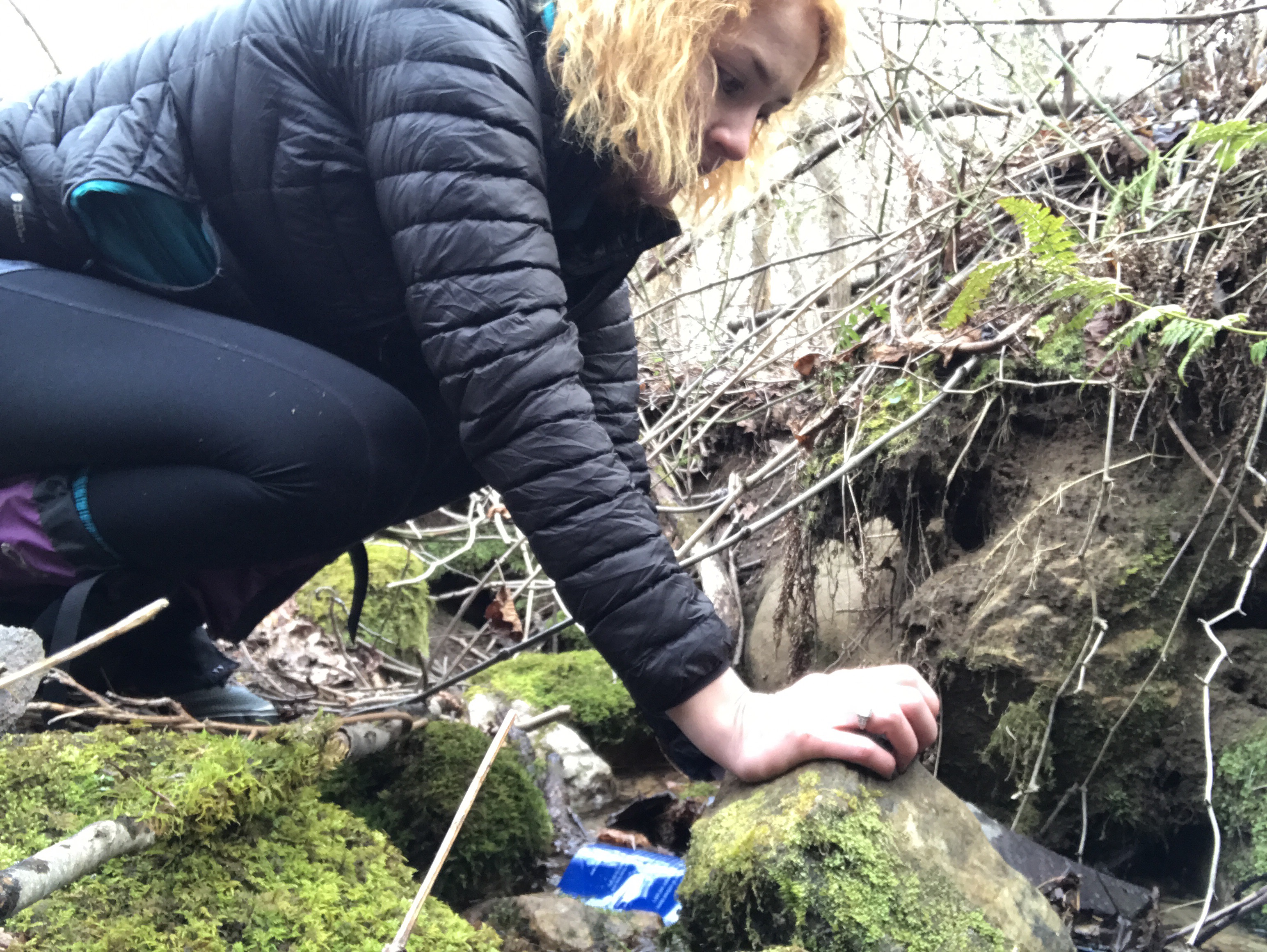
I got water, made a delicious dinner (Spanish rice, Colby jack cheese, on a tortilla), then settled in to bed. I don’t think I ever got warm. By the time I got in bed my hands were so cold I lost the use of my thumbs- I couldn’t get the muscles to cooperate at all!
I’ve been using a woobie, a military poncho liner, that my brother in law Lee gave me for Christmas. Once I figured out the best set up for use with a sleeping bag, that thing really is magic. Adds a good 20* on to my sleeping bag for sure.

And tonight, I need it for sure.
Miles: 4 (+.4)
MVP: dinner
LVP: COLD.

👍👍👍
LikeLike
Xanadu…
LikeLike
I was totally misled by the pics. When you mentioned how cold you were and your thumbs were numb, I was thinking it looks like it’s about 50 degrees. Hmmph, shows how little I know. Thx for posting your hikes on the AT – keeps me inspired! One day, I plan to section hike.
LikeLike
What a great tree! Spooky cairns. Glad you survived the cold. I am so ready for warm sleeping. I made soup every couple of hours one night this winter. Never got warm. Enough now.
LikeLiked by 1 person